Bienener Altrhein, Millinger Meer Und Hurler Meer
Bienener Altrhein, Millinger Meer Und Hurler Meer
The best cycling routes in Bienener Altrhein, Millinger Meer Und Hurler Meer
4.5
(8602)
41,744
riders
1,035
rides
Touring cycling in Bienener Altrhein, Millinger Meer Und Hurler Meer offers routes through a distinctive "Altrhein" system, characterized by oxbow lakes like Bienener Altrhein, Millinger Meer, and Hurler Meer. The terrain features wide Rhine meadows, nutrient-rich still waters, and pockets of soft-wood riparian forests. Cyclists can expect a well-developed network of easy dike cycle paths, providing panoramic views across the flat Lower Rhine landscape. The region is a European Natura2000 site and a significant bird sanctuary, ensuring a natural environment…
Last updated: October 29, 2026
4.6
(39)
141
riders
Moderate bike ride. Good fitness required. Mostly paved surfaces.
4.6
(48)
173
riders
31.5km
01:56
50m
50m
Easy bike ride. Mostly paved surfaces.

4.1
(16)
191
riders
Easy bike ride. Mostly paved surfaces.
4.8
(18)
62
riders
Moderate bike ride. Good fitness required. Mostly paved surfaces.
4.9
(45)
148
riders
Moderate bike ride. Good fitness required. Mostly paved surfaces.
Get access to more routes and recommendations from other explorers.
Already have an account?
Our route recommendations are based on thousands of hikes, rides, and runs completed by other people on komoot.
Start today with a free account
Your next adventure awaits.
Popular around Bienener Altrhein, Millinger Meer Und Hurler Meer

Road Cycling Routes in Bienener Altrhein, Millinger Meer Und Hurler Meer
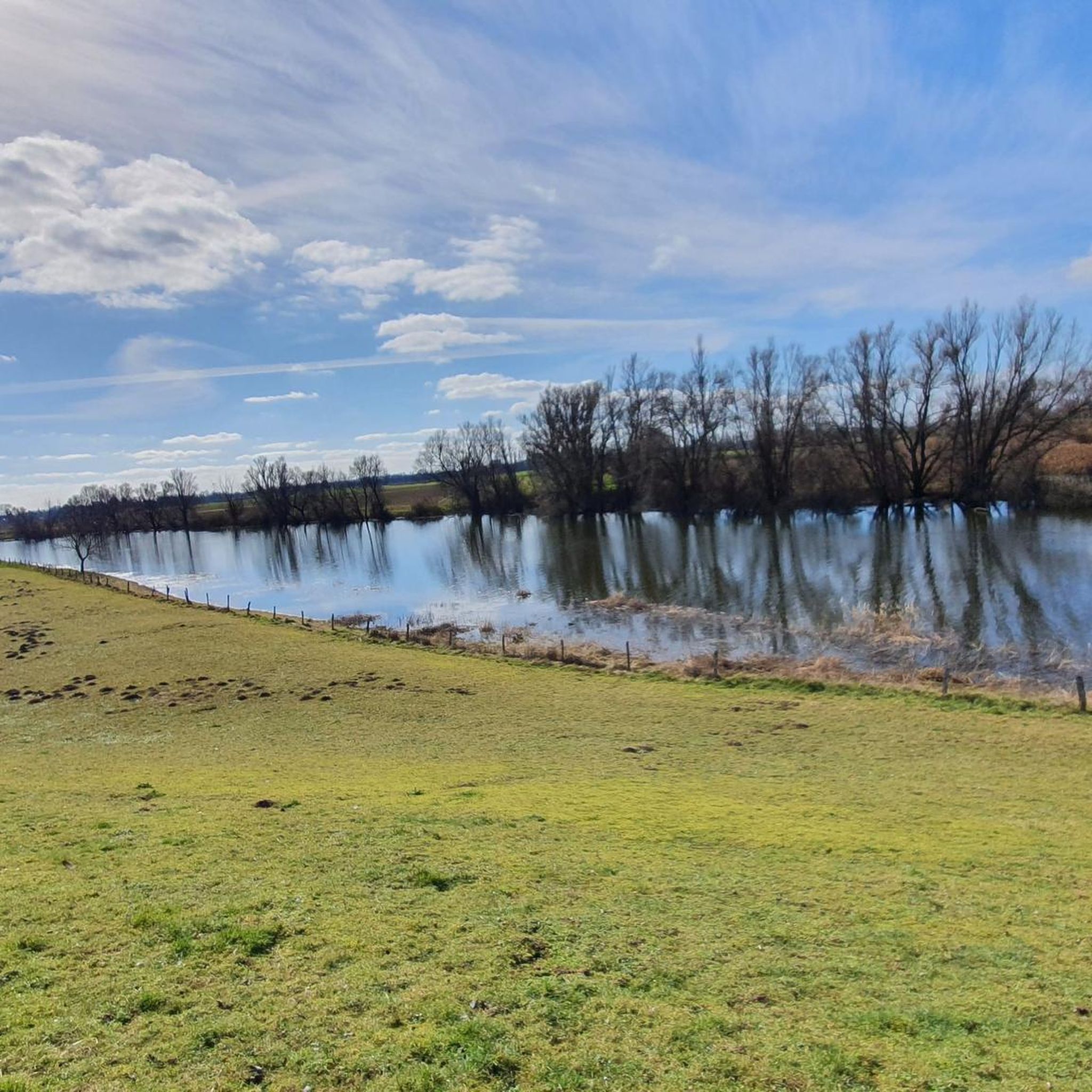
Hiking in Bienener Altrhein, Millinger Meer Und Hurler Meer
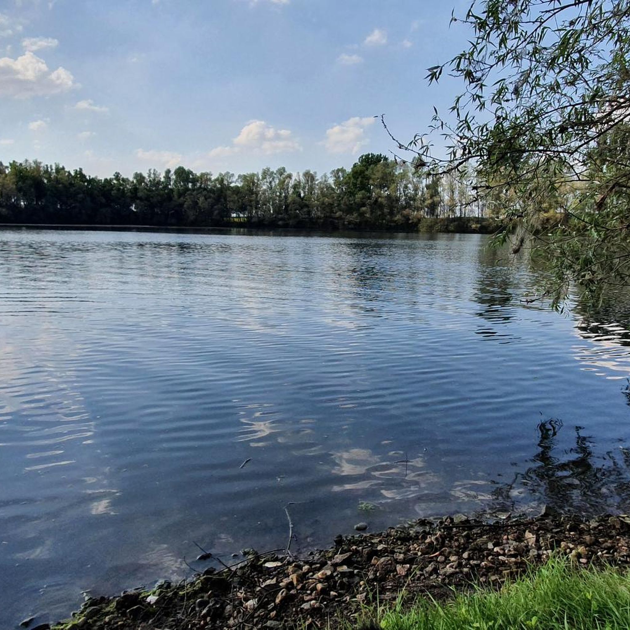
Running Trails in Bienener Altrhein, Millinger Meer Und Hurler Meer
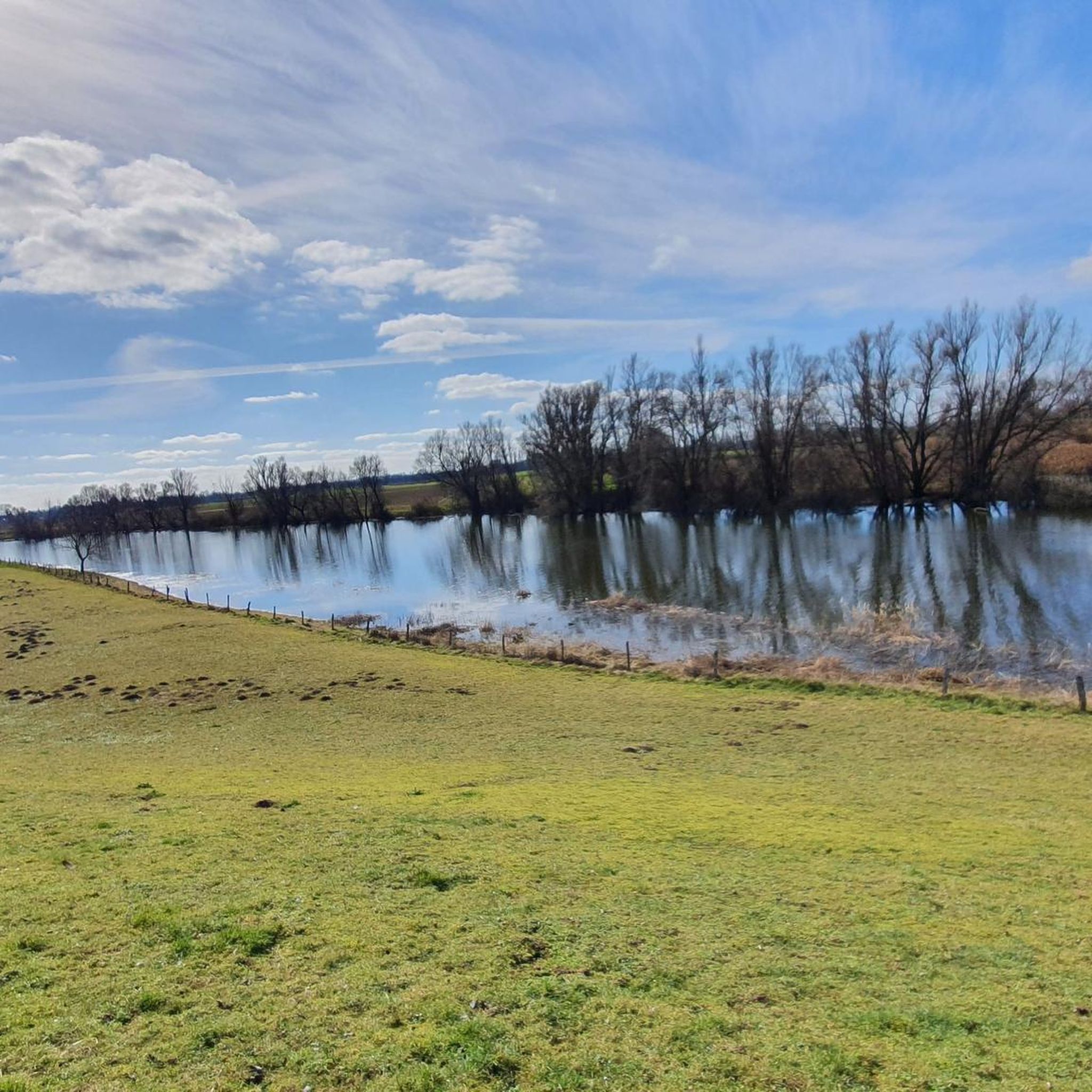
MTB Trails in Bienener Altrhein, Millinger Meer Und Hurler Meer
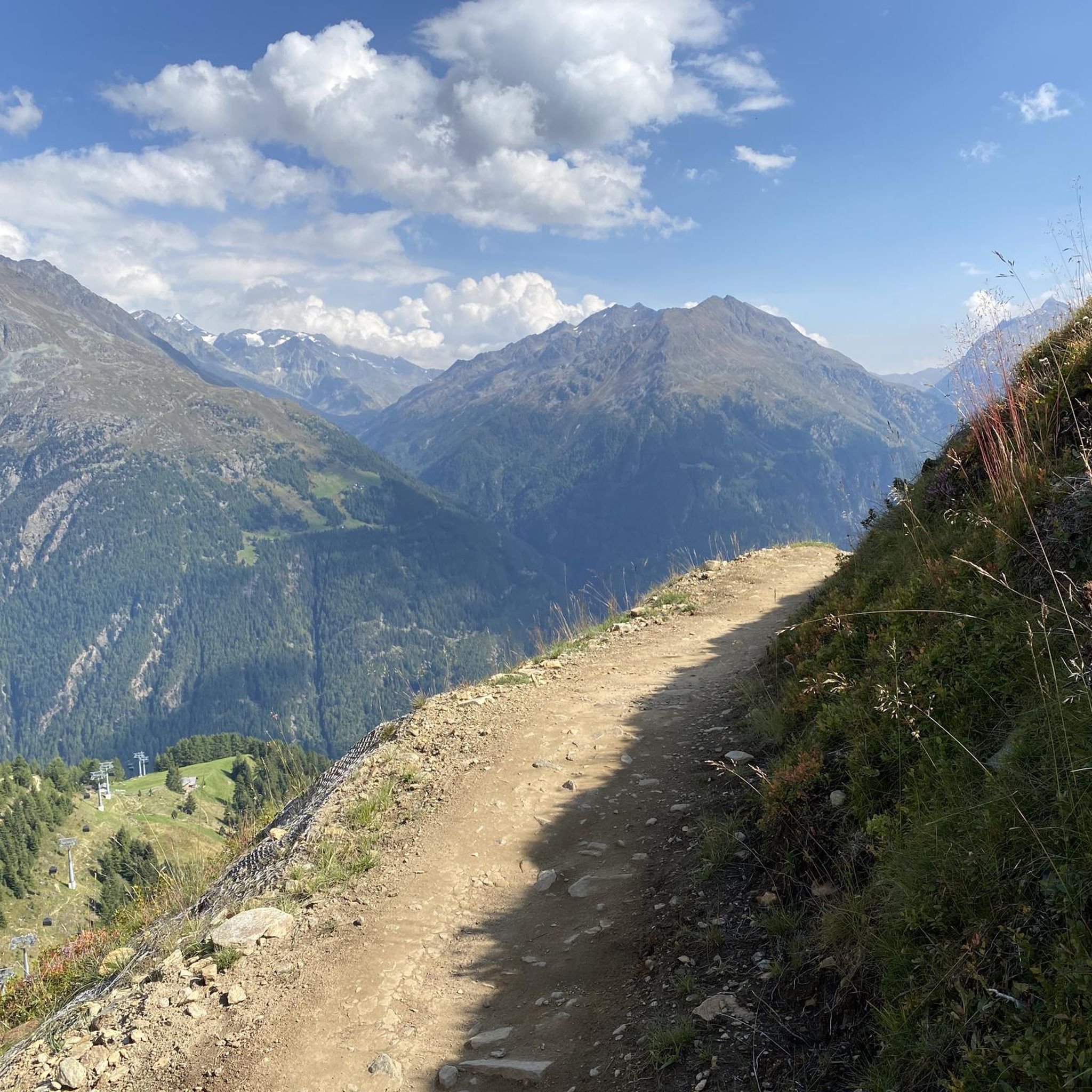
Gravel biking in Bienener Altrhein, Millinger Meer Und Hurler Meer
Tips from the Community

This is not the "Drostewoi" this is the Sommerdeich (also called Postdick) in Bislich
1
0


Great trail, with beautiful motifs along the Aa.
2
0

From this wooden arched bridge onwards, the German Issel is called the Oude IJssel. A beautiful, gently flowing river. The pedestrian and cycle path runs almost entirely along its banks – very idyllic. On and along the water, you can observe grey herons, great egrets, mallards, coots, and the like. Swans, the heraldic animal of the Lords of Gendringen, also swim on the Oude IJssel. Next to the bridge, there is a launching and landing point for canoeists.
3
0
This beautiful wooden arched bridge connects Gendringen/NL with Voorst/NL and its lovely heathland. North of the bridge, the river is called the "Oude IJssel" and belongs to the Netherlands, while to the south, the same river is called the "Issel." South of the bridge, the border runs down the middle of the river (W=NL and O=DE). The pedestrian and cycle path is on the Dutch side.
6
0

Very beautiful nature here.
1
0
A beautiful church to see.
3
0
The name Landfort refers to a ford (a place fordable) in the Oude IJssel river. Landfort Manor was first mentioned in 1434. Since then, the size of the estate and the exterior of the buildings have changed regularly. When the Amsterdam ophthalmologist and botanist Johann Albert Luyken (1785-1867) acquired Landfort Manor in 1823, he had ambitious renovation plans. In 1825, he commissioned the renowned landscape architect Jan David Zocher Jr. (1791-1870) to design a landscaped park. The manor house itself was also redesigned, according to a plan by the Anholt court architect Johann Theodor Übbing (1786-1864), which included curved wings. J.T. Übbing also designed the oriental-style dovecote. Landfort Manor was severely damaged in 1945. In 1970, "Stichting Geldersch Landschap & Kasteelen" acquired the external site. In 2017, "Stichting Erfgoed Landfort" took over the island and the surrounding land on a long-term leasehold basis.
4
0
Frequently Asked Questions
How many touring cycling routes are available in Bienener Altrhein, Millinger Meer Und Hurler Meer?
The region offers a wide selection of touring cycling routes, with over 960 options available. This includes a diverse range of paths, from easy rides to more challenging tours, ensuring there's something for every cyclist.
Are there easy touring cycling routes suitable for beginners or families?
Yes, the Bienener Altrhein, Millinger Meer Und Hurler Meer region is known for its flat and varied terrain, making it ideal for easy cycling. Over 630 of the routes are classified as easy. An excellent option for a relaxed ride is the Apple Orchard Niederrhein – On the dike loop from Praest, which is 19.5 miles (31.4 km) and winds through scenic apple orchards.
Can I find circular touring cycling routes in the region?
Many of the touring cycling routes in this area are designed as loops, allowing you to start and end at the same point. For example, the Emmerich on the Rhine Promenade – Emmerich Rhine Promenade loop from Praest offers a pleasant 14.8-mile (23.8 km) circular tour along the Rhine promenade.
What kind of wildlife can I expect to see while cycling?
The region is a European Natura2000 site and a significant bird sanctuary, offering excellent opportunities for wildlife spotting. As you cycle through the protected nature and landscape areas, especially around the Bienener Altrhein Nature Reserve, you might observe rare bird and plant species, including herons, ducks, snipes, wild geese, and swans.
What are some notable attractions or landmarks I can visit along the cycling paths?
Beyond the natural beauty, several points of interest can be explored. You can cycle past historic sites like the Mühle Rosau Tower Ruin or enjoy the scenic Dike cycle path and transformer tower near Bienen. The Bienener Altrhein Nature Reserve itself is a highlight, offering a pristine natural environment.
Is the region suitable for cycling with dogs?
While many paths are suitable for cycling with dogs, it's important to be mindful of local regulations, especially within designated nature reserves like the Bienener Altrhein, where dogs may need to be kept on a leash to protect wildlife. Always ensure your dog is comfortable with the distance and terrain.
What is the best time of year to go touring cycling in Bienener Altrhein, Millinger Meer Und Hurler Meer?
The flat and varied terrain of the Lower Rhine region makes it enjoyable for cycling throughout much of the year. Spring and autumn offer pleasant temperatures and beautiful scenery, with spring showcasing blooming apple orchards and autumn providing vibrant foliage. Summer is also popular, but it's advisable to cycle during cooler parts of the day.
Are there places to stop for refreshments or a meal along the cycling routes?
Yes, the well-developed cycling infrastructure often includes opportunities for breaks. Along the Millinger Meer, for instance, you can find a restaurant with direct water views, perfect for a pleasant stop. Many towns and villages along the routes will also offer cafes and eateries.
How can I access the cycling routes using public transport?
The region is generally well-connected, and some starting points for cycling routes may be accessible via public transport. It's recommended to check local bus and train schedules for specific routes and their bike carriage policies, especially for towns like Emmerich or Rees, which serve as common starting points.
Where can I park my car when starting a cycling tour?
Many towns and villages that serve as starting points for cycling tours, such as Empel-Rees or Praest, offer designated parking areas. Given the popularity of cycling in the region, you'll typically find convenient parking options near the main access points to the dike paths and cycle networks.
What do other cyclists say about the touring cycling experience here?
The area is highly rated by the komoot community, with an average score of 4.5 stars from over 7,300 reviews. Cyclists often praise the well-developed network of easy dike cycle paths, the magnificent views of the Rhine meadows, and the tranquil, natural environment, especially the distinctive 'Altrhein' system with its oxbow lakes.
Are there any longer touring cycling routes for experienced cyclists?
Yes, while many routes are easy, there are also moderate options for those seeking a longer ride. For example, the Bislich Rhine Dyke – View of Xanten Cathedral loop from Empel-Rees is a moderate 34.9-mile (56.1 km) route that offers expansive views and a good distance for experienced touring cyclists.
What makes the landscape unique for touring cyclists in this region?
The landscape is characterized by a distinctive 'Altrhein' system, featuring ancient oxbow lakes like Bienener Altrhein, Millinger Meer, and Hurler Meer. Cyclists will enjoy wide Rhine meadows, nutrient-rich still waters, and pockets of soft-wood riparian forests. The flat terrain and the 'super-wide dike cycle path' provide panoramic views across the Lower Rhine, making for a unique and scenic cycling experience.
Most popular routes in Bienener Altrhein, Millinger Meer Und Hurler Meer
Most popular attractions in Bienener Altrhein, Millinger Meer Und Hurler Meer

Get inspired with the komoot mobile app


Explore more
Browse the best Cycling routes in other regions.
