Droste Woy, Rheinaue Zwischen Wesel Und Bislich
Droste Woy, Rheinaue Zwischen Wesel Und Bislich
The best running trails in Droste Woy, Rheinaue Zwischen Wesel Und Bislich
4.5
(737)
11,656
runners
649
runs
Jogging routes in Droste Woy, Rheinaue Zwischen Wesel Und Bislich traverse a diverse Rhine floodplain landscape, characterized by wide, flat areas, willows, and scattered bodies of water. The region is a designated nature reserve, offering well-suited terrain for running. Paths are generally accessible and often paved, especially along the dikes, providing stable routes with views of the Rhine. A unique feature is the Kolk (Droste Woy), a pond formed by a dike breach, which now forms the heart of this…
Last updated: November 17, 2026
5.0
(1)
6
runners
12.7km
01:19
30m
30m
Moderate run. Good fitness required. Mostly paved surfaces.
4.0
(2)
10
runners
Moderate run. Good fitness required. Mostly paved surfaces.

4.6
(22)
609
runners
14.9km
01:33
20m
20m
Moderate run. Good fitness required. Mostly paved surfaces.
5.0
(2)
61
runners
Moderate run. Good fitness required. Mostly paved surfaces.
5.0
(2)
53
runners
5.44km
00:34
10m
10m
Moderate run. Good fitness required. Mostly paved surfaces.
Get access to more routes and recommendations from other explorers.
Already have an account?
Our route recommendations are based on thousands of hikes, rides, and runs completed by other people on komoot.
Start today with a free account
Your next adventure awaits.
Popular around Droste Woy, Rheinaue Zwischen Wesel Und Bislich
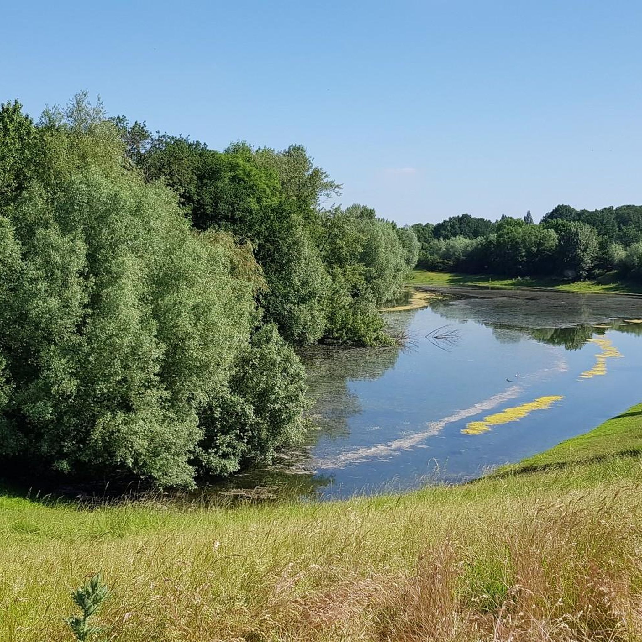
Cycling in Droste Woy, Rheinaue Zwischen Wesel Und Bislich

Road Cycling Routes in Droste Woy, Rheinaue Zwischen Wesel Und Bislich
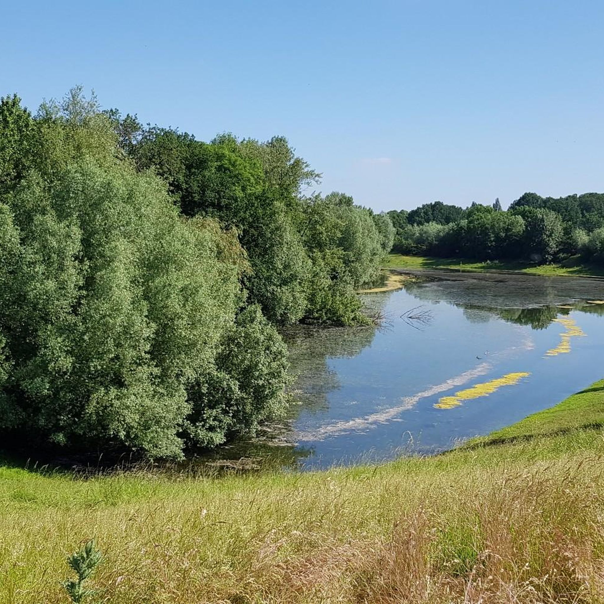
MTB Trails in Droste Woy, Rheinaue Zwischen Wesel Und Bislich
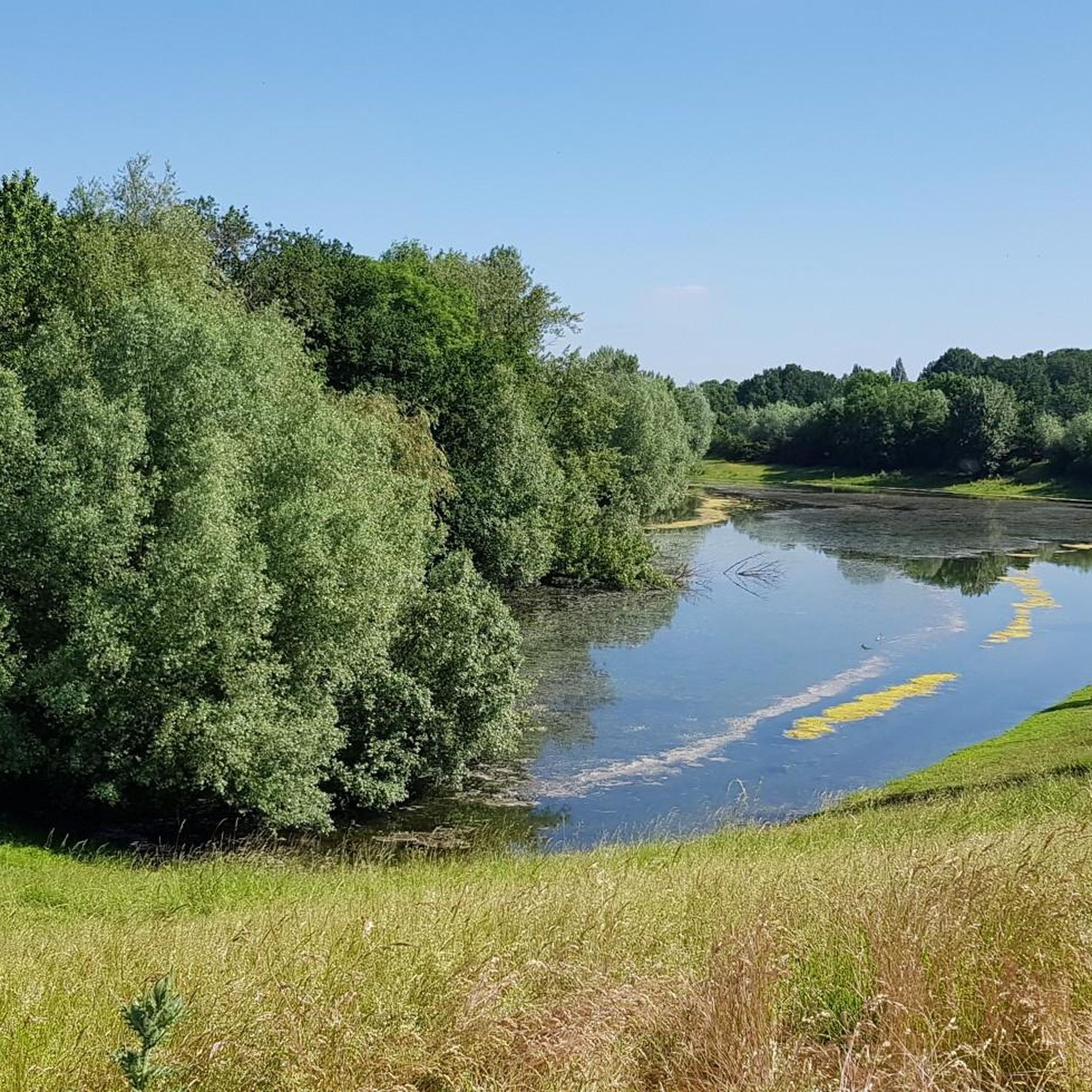
Hiking in Droste Woy, Rheinaue Zwischen Wesel Und Bislich

Gravel biking in Droste Woy, Rheinaue Zwischen Wesel Und Bislich
Tips from the Community

The path is covered with very fine gravel and is therefore more suitable for cycling than hiking. Hiking on a forest path is significantly more pleasant. The view and the opportunity to go swimming there + the snack bar and ice cream van make the whole thing more bearable
0
0

With the lake at your back, the rain comes over the dike
0
0
old Roman camp, with a sign and robinia stakes to show the extent
0
0

In English, probably "Kolk Lake", see also https://de.wikipedia.org/wiki/Brack or https://www.kuladig.de/Objektansicht/KLD-261800
0
0

Like almost every other town, Diersfordt mourned its fallen and missing in the two World Wars that shook the first half of the 20th century. This memorial is dedicated to them all. In earlier times – usually under the name "war memorial" – the heroic commemoration of the brave heroes was the primary focus. Today, these monuments – found in almost every town and village across the country – are important memorials. They stand in villages and towns as vital testimonies to a past that will hopefully never be repeated, carrying with it an enduring message of understanding between nations. Their significance is once again highly relevant today, serving to remind us of the often horrific suffering caused by war and tyranny, and to urge each new generation to preserve peace.
1
0

beautiful cycle path
0
0

A few benches along the shore of Lake Aue invite you to linger. However, the view is now overgrown in most places.
0
0

I honestly don't see it as a highlight for road bikers. Yes, it's always nice to cruise across the Rhine on a small ferry, and it's a short distance to the next bridge, but... I avoid taking the ferry with my road bike for two reasons: 1) The ferry is only open on certain days, even when excursions are expected. However, these very excursionists can sometimes lead to unpredictably long waits. I once stood in line here for over an hour. It's rather inconvenient if you don't need a break. 2) On the ferry itself, you're supposed to park your bike in a "Felgenbrecher" bike rack (see photos). Not something you'd want to do with expensive wheels. We've crossed here several times on the Hase Pino step tandem, and it was really nice. It's quite tight with the tandem, but it's manageable, and since the bike obviously doesn't fit in the Felgenbrecher, we've always been assigned a special spot. But I don't know if the ferry staff would be happy if a horde of racing cyclists all wanted special spots for their carbon rims...
0
0
Frequently Asked Questions
How many running routes are available in Droste Woy, Rheinaue Zwischen Wesel Und Bislich?
The region offers a diverse network of 14 running routes. These include options for various fitness levels, with 5 easy, 8 moderate, and 1 difficult trail to explore.
What kind of natural features can I expect to see while jogging in the Rheinaue?
The Rheinaue is characterized by its expansive Rhine floodplain, featuring wide, flat areas with willows, head trees, and scattered bodies of water. A unique natural highlight is the Kolk (Droste Woy), a pond formed by a dike breach, which is now at the heart of this richly structured landscape. You'll also find dikes, like the Droste Woy Dike Path, offering elevated views of the Rhine.
Are there any easy running trails suitable for beginners in Droste Woy?
Yes, there are 5 easy running routes in the area. An excellent option for a relaxed run is the Auesee – Panoramic view of the Auesee loop from Weseler Aue und Leygraben bei Flüren, which is 3.7 km long and offers scenic views.
What are some interesting sights or landmarks along the running routes?
While jogging, you can enjoy beautiful views of the Rhine near Bislich, especially along the dike paths. The area is also known for its rich biodiversity, including numerous bird species. Keep an eye out for stork nests, particularly in the village of Bislich, which is popular for its stork population.
Are the running paths in Droste Woy, Rheinaue Zwischen Wesel Und Bislich suitable for families?
The paths in the Rheinaue are generally accessible and often consist of mostly paved surfaces, especially along the dikes, making them suitable for families. The flat terrain and varied landscapes offer a pleasant experience for all ages. Consider easier routes like the Auesee – Panoramic view of the Auesee loop for a family-friendly outing.
Can I bring my dog on the running trails in this region?
The natural setting of Droste Woy, Rheinaue Zwischen Wesel Und Bislich, with its expansive floodplains and dike paths, is generally welcoming for dogs. However, as it is a nature reserve, it's advisable to keep dogs on a leash to protect the local wildlife and ensure a pleasant experience for everyone.
What do other runners enjoy most about jogging in Droste Woy, Rheinaue Zwischen Wesel Und Bislich?
The area is highly rated by the komoot community, with an average score of 4.6 stars from over 320 reviews. Runners often praise the diverse Rhine floodplain landscape, the well-suited terrain, and the scenic views of the Rhine, especially along the dike paths.
Are there circular running routes available?
Yes, many of the routes in the Rheinaue are circular, allowing you to start and end at the same point. For example, the Running loop from Weseler Aue und Leygraben bei Flüren is a 6.2 km trail that offers a varied floodplain experience in a loop.
What is the typical length of running trails in the Rheinaue Zwischen Wesel Und Bislich?
The running trails vary in length to suit different preferences. You'll find routes ranging from shorter options like the 3.7 km Auesee – Panoramic view of the Auesee loop to longer runs such as the 8.9 km View of Grav Island – Auesee Parking Lot loop.
Is there public transport access to the jogging routes in Droste Woy?
While specific public transport stops directly at trailheads are not detailed, the region is accessible. For detailed information on reaching the area by public transport, it's best to consult local transport schedules for Wesel and Bislich, as these villages are within or adjacent to the nature reserve.
Are there any specific viewpoints along the running paths?
Absolutely. The dike paths, such as the Droste Woy Dike Path, offer excellent elevated vantage points for panoramic views of the Rhine near Bislich and the expansive floodplain landscape.
What is the best season for running in Droste Woy, Rheinaue Zwischen Wesel Und Bislich?
The region's diverse landscapes make it suitable for running in various seasons. Spring and autumn offer pleasant temperatures and vibrant scenery. Even in winter, the mostly paved dike paths can provide stable routes, though conditions may vary. The area's natural beauty, including the Rhine floodplain and the Kolk, can be enjoyed year-round.
Most popular routes in Droste Woy, Rheinaue Zwischen Wesel Und Bislich
Most popular attractions in Droste Woy, Rheinaue Zwischen Wesel Und Bislich

Get inspired with the komoot mobile app


Explore more
Browse the best Running Trails & Routes in other regions.
