The best walks and hikes in Obere Allerniederung Bei Celle
4.5
(3021)
12,774
hikers
11
hikes
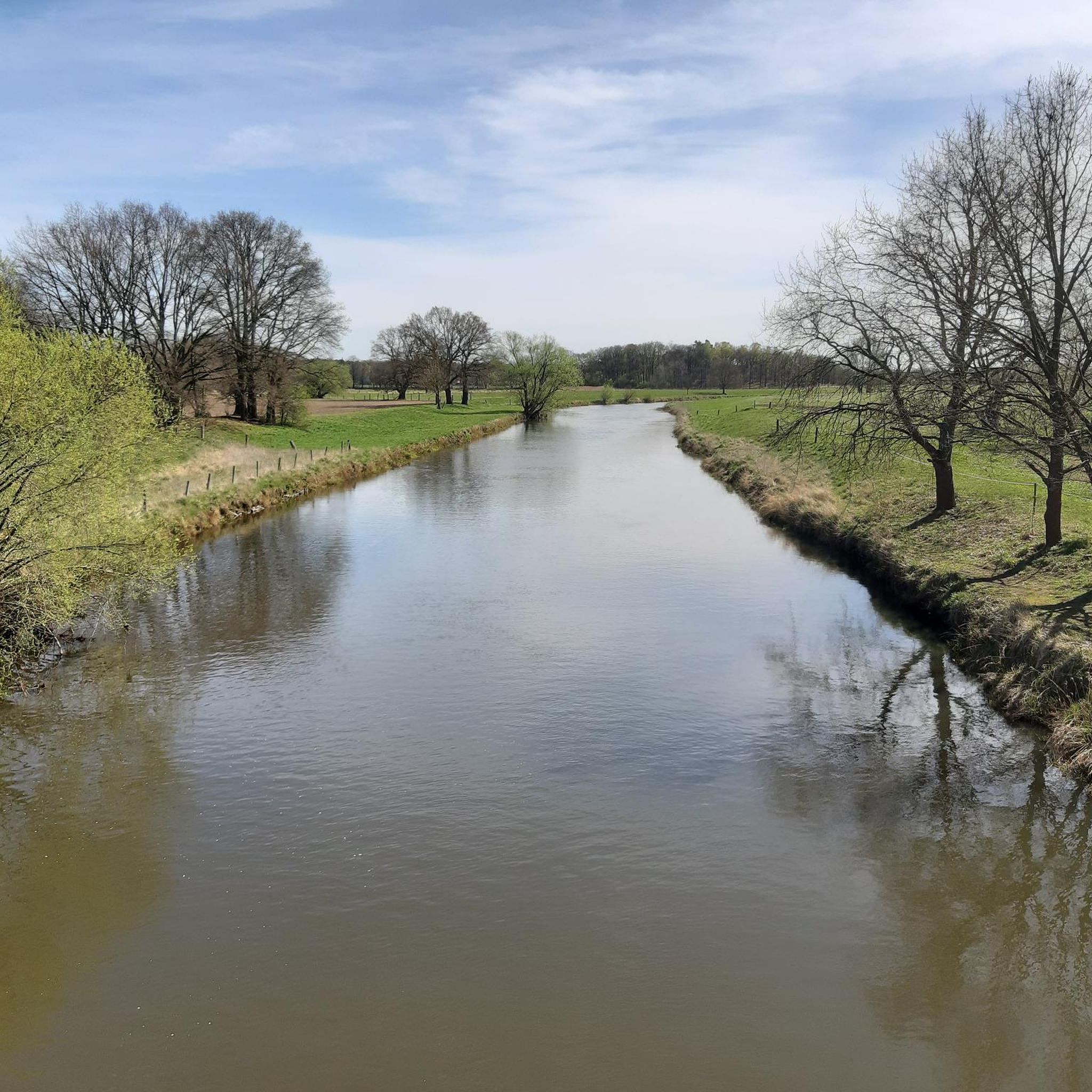
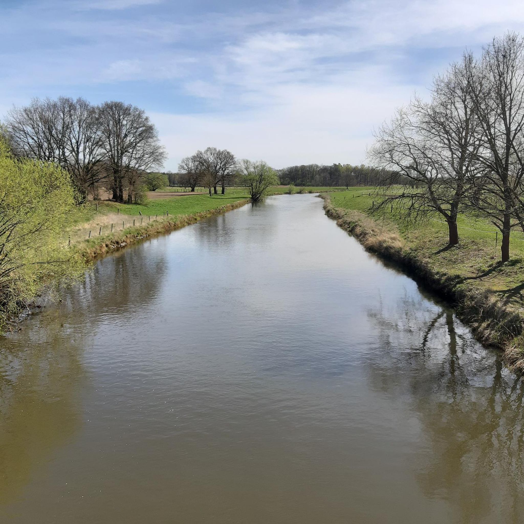
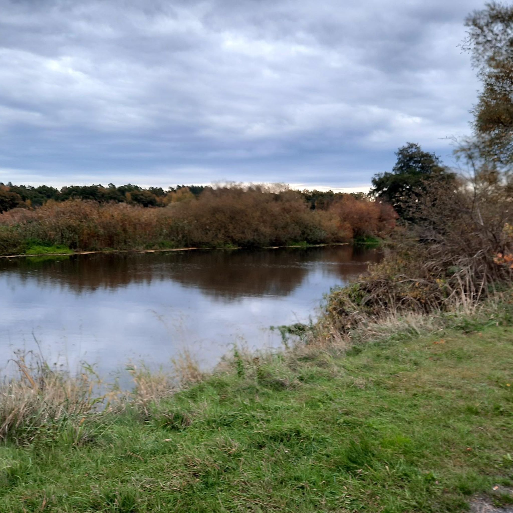
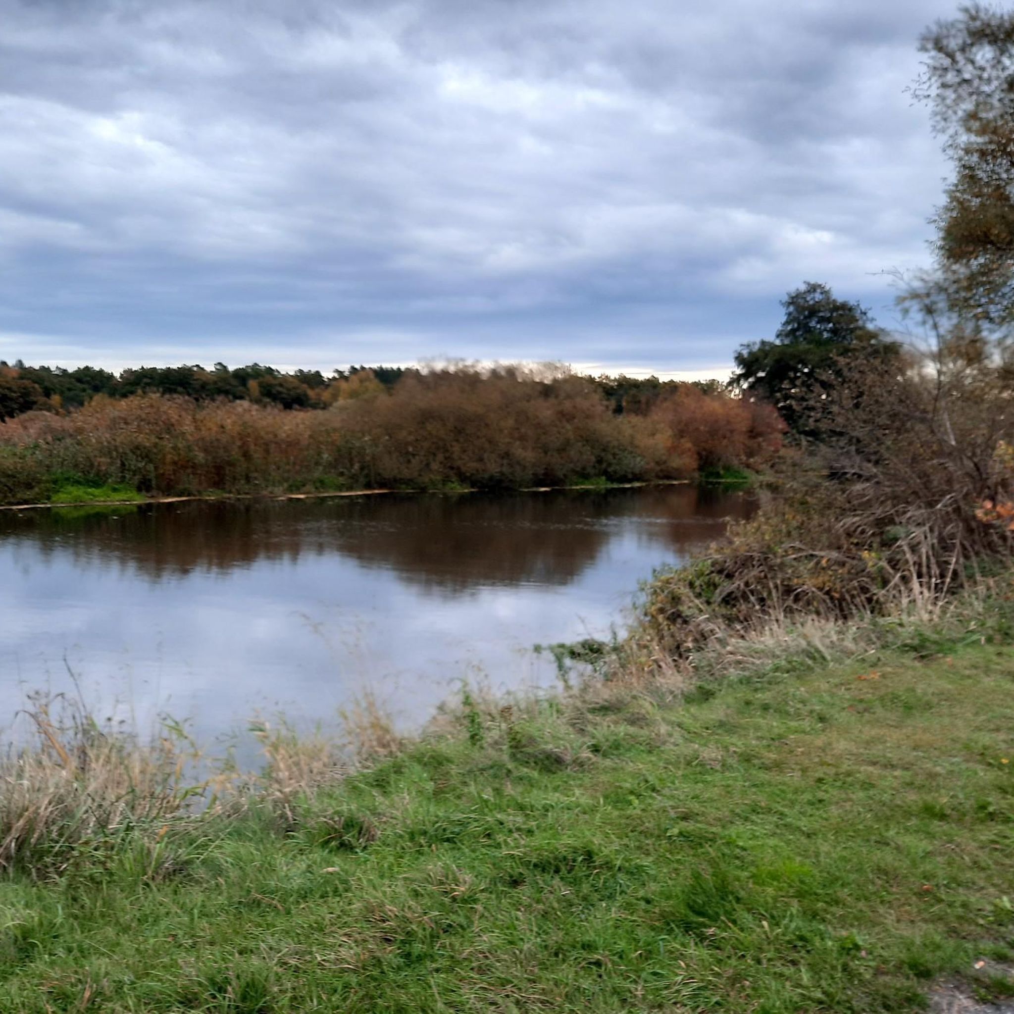
Hiking in Obere Allerniederung Bei Celle traverses a protected natural sanctuary characterized by low and level terrains. The region features a diverse landscape of riverine environments along the Aller and Lachte rivers, including reed beds, pastures, and meadows. Hikers will encounter floodplain and fen forests, moist thickets, and species-rich grasslands, with numerous smaller standing bodies of water. This area offers a serene environment for nature enthusiasts.
Best hiking trails in Obere Allerniederung Bei Celle
- The most popular hiking route is Bench with a view of the Aller – Lachte Bridge loop from Obere Allerniederung bei Celle, a 4.8 miles (7.7 km) trail that takes 1 hour 57 minutes to complete. This easy route offers views of the Aller river and its surrounding lowlands.
- Another top favourite among local hikers is Lachte Bridge – Bench with a view of the Aller loop from Obere Allerniederung bei Celle, an easy 3.3 miles (5.2 km) path. This trail explores riverbanks and meadows, providing opportunities for birdwatching.
- Local hikers also love the Upper Aller Lowlands near Celle loop from Obere Allerniederung bei Celle, a 1.7 miles (2.8 km) trail leading through diverse wetlands and grasslands, often completed in about 42 minutes.
- Hiking in Obere Allerniederung Bei Celle is defined by riverine environments, floodplain forests, and wet meadows. The extensive network offers options for easy, moderate, and difficult routes, catering to various ability levels.
- The routes in Obere Allerniederung Bei Celle are highly rated by the komoot community with an average score of 4.5 stars from over 3000 reviews. More than 12000 hikers have used komoot to explore Obere Allerniederung Bei Celle's varied terrain.
Last updated: May 14, 2026
4.9
(26)
113
hikers
Easy hike. Great for any fitness level. Easily-accessible paths. Suitable for all skill levels.
5.0
(1)
4
hikers
Easy hike. Great for any fitness level. Easily-accessible paths. Suitable for all skill levels.

Sign up for free
4.0
(2)
9
hikers
Moderate hike. Good fitness required. Easily-accessible paths. Suitable for all skill levels.
4.3
(3)
17
hikers
Easy hike. Great for any fitness level. Easily-accessible paths. Suitable for all skill levels.
4.1
(7)
18
hikers
Hard hike. Very good fitness required. Easily-accessible paths. Suitable for all skill levels.
Get access to more routes and recommendations from other explorers.
Sign up for free
Already have an account?
Our route recommendations are based on thousands of hikes, rides, and runs completed by other people on komoot.
Start today with a free account
Your next adventure awaits.
Login or Signup

Tips from the Community

Isn't the 'Wehr' referring to the building with the surrounding facility rather than the most photographed fish ladder?
2
0


Pure nature for the many small creatures in and by the water
0
0
An old wooden bench directly on the cycle path with a beautiful view of the surroundings
0
0

A place to let your soul dangle
0
0

The "mountains" are sand moraines from the Ice Age; they are even more clearly visible on the path north of the Lachte river.
0
0
Unfortunately, it's also a road bridge with a lot of traffic.
0
0

At Heiligen Kreuz 26 stands the oldest surviving timber-framed house in Celle's old town. First mentioned in 1522, it is considered the oldest securely dated building within Celle's extensive collection of timber-framed buildings. It is a gable-fronted timber-framed house with a saddle roof, featuring stepped gables projecting from story to story and Gothic ornamentation in the gable area. It is a typical example of the early construction phase of Celle's old town, which spanned approximately 600 years. Celle boasts around 400 preserved timber-framed houses; this building marks the oldest dated structure. It thus stands at the beginning of the development of one of Germany's densest and most impressive collections of timber-framed buildings. Celle.de
3
0
Frequently Asked Questions
How many hiking trails are available in Obere Allerniederung Bei Celle?
There are over 10 hiking trails in Obere Allerniederung Bei Celle, offering a variety of experiences. The region is known for its low and level terrains, making many routes accessible for different skill levels.
What is the general difficulty level of hikes in Obere Allerniederung Bei Celle?
The majority of hikes in Obere Allerniederung Bei Celle are considered easy, with 7 easy routes out of 11 total. There are also 3 moderate routes and 1 difficult route for those seeking more of a challenge. The low elevation gain across the area makes it suitable for various abilities.
Are there any circular hiking routes in Obere Allerniederung Bei Celle?
Yes, many routes in the area are circular, allowing you to start and end at the same point. For example, the Lachtehausen Watermill – Blue Bridge over the Lachte loop from Obere Allerniederung bei Celle is a moderate 12 km loop that takes you through diverse landscapes.
What kind of landscapes can I expect to see while hiking in Obere Allerniederung Bei Celle?
Hikers can expect a rich tapestry of landscapes, including riverine environments along the Aller, reed beds, pastures, meadows, and various forests. The area features small-scale floodplain and fen forests, moist thickets, wet meadows, and species-rich grasslands, with numerous smaller standing bodies of water.
Are the hiking trails in Obere Allerniederung Bei Celle suitable for families?
Yes, the trails are generally well-suited for families due to the low and level terrains and minimal elevation gain. Many routes are easy, such as the Bench with a view of the Aller – Lachte Bridge loop from Obere Allerniederung bei Celle, which is an easy 5.9 km path, making them enjoyable for all ages.
Are there opportunities for birdwatching along the trails?
Absolutely. Obere Allerniederung Bei Celle is a designated nature conservation area and a haven for distinctive avian creatures. The Finkenherd area, in particular, is known for its lush meadows and abundant birdlife, offering excellent opportunities to spot rare birds like the corncrake, little grebe, and northern lapwing.
What are some notable natural attractions or landmarks to see along the hiking routes?
While hiking, you can explore several natural attractions. The Obere Allerniederung Nature Reserve near Celle itself is a highlight. You might also encounter the Medicinal herb garden or the scenic Chestnut Avenue on the Osterdeich. The Lachte Bridge is another point of interest.
Can I bring my dog on the hiking trails in Obere Allerniederung Bei Celle?
Yes, dogs are generally welcome on the hiking trails in Obere Allerniederung Bei Celle. As it is a nature conservation area with diverse wildlife, it's recommended to keep your dog on a leash to protect the local flora and fauna and ensure a pleasant experience for all visitors.
What do other hikers enjoy most about hiking in Obere Allerniederung Bei Celle?
The area is highly rated by the komoot community, with an average score of 4.5 stars from over 2900 reviews. Reviewers often praise the tranquil scenery, the diverse natural landscapes, and the well-maintained network of paths along the Aller and Lachte rivers, which provide a serene escape into nature.
Is there parking available near the trailheads?
Yes, the area is easily reachable, and trailheads are conveniently located. While specific parking lots aren't detailed for every route, the proximity to the charming town of Celle suggests accessible parking options for visitors arriving by car.
What is the best time of year to hike in Obere Allerniederung Bei Celle?
The diverse flora and dynamic riverine environment make Obere Allerniederung Bei Celle enjoyable throughout the year. Spring and summer offer lush greenery and wildflowers, while autumn brings vibrant colors. Even in winter, the low and level paths can be suitable for a peaceful walk, offering stunning sunrises and sunsets over the tranquil landscape.
Most popular routes in Obere Allerniederung Bei Celle
Most popular attractions in Obere Allerniederung Bei Celle

Get inspired with the komoot mobile app


Explore more
Browse the best Hikes in other regions.
