The best road cycling routes in Breitenroder-Oebisfelder Drömling
4.7
(106)
944
riders
66
rides
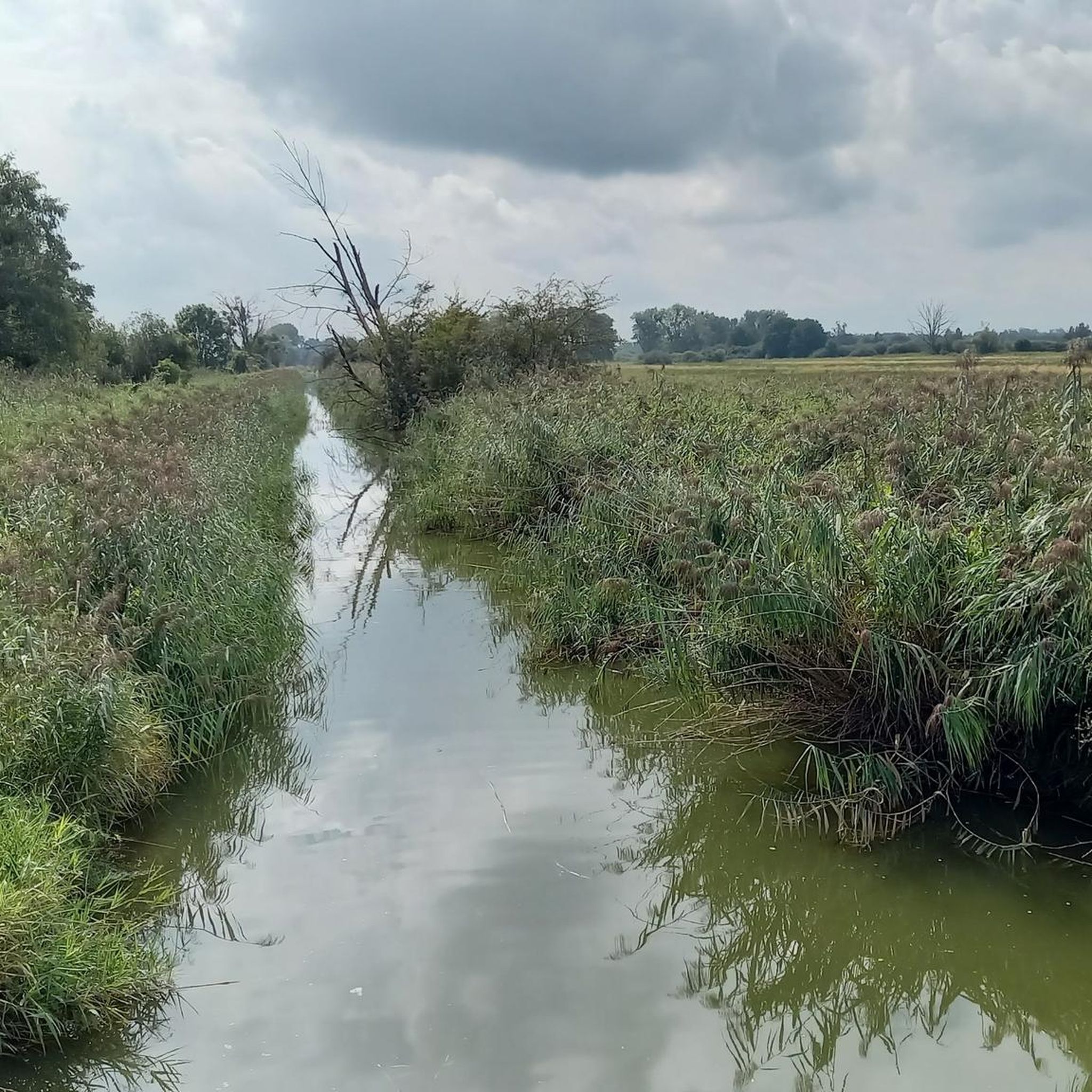
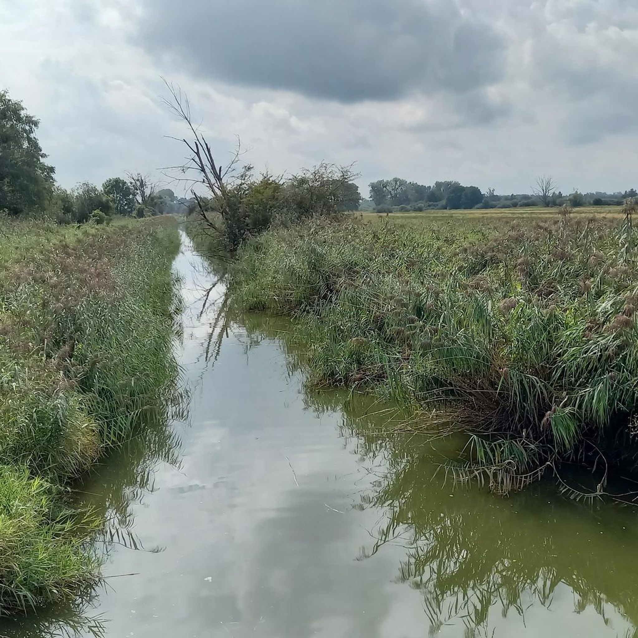
Road cycling in Breitenroder-Oebisfelder Drömling is characterized by its lowland terrain, a former marshland transformed into a cultural landscape. The region features an extensive network of ditches, making it one of Germany's largest inland wetlands. This area includes diverse ecosystems such as alder marsh and wet meadows, with rivers like the Aller and Ohre, and the Mittelland Canal defining the landscape. The topography is generally gentle, offering routes with minimal elevation gain.
Best road cycling routes in Breitenroder-Oebisfelder Drömling
- The…
Last updated: May 15, 2026
5.0
(3)
33
riders
Moderate road ride. Good fitness required. Mostly well-paved surfaces and easy to ride.
25
riders
68.1km
02:44
360m
360m
Moderate road ride. Good fitness required. Mostly well-paved surfaces and easy to ride.

Sign up for free
16
riders
Moderate road ride. Good fitness required. Some segments of this route may be unpaved and difficult to ride.
5.0
(3)
15
riders
31.9km
01:16
60m
60m
Moderate road ride. Great for any fitness level. Some segments of this route may be unpaved and difficult to ride.
14
riders
66.7km
02:44
360m
360m
Moderate road ride. Good fitness required. Some segments of this route may be unpaved and difficult to ride.
Get access to more routes and recommendations from other explorers.
Sign up for free
Already have an account?
Our route recommendations are based on thousands of hikes, rides, and runs completed by other people on komoot.
Start today with a free account
Your next adventure awaits.
Login or Signup
Tips from the Community

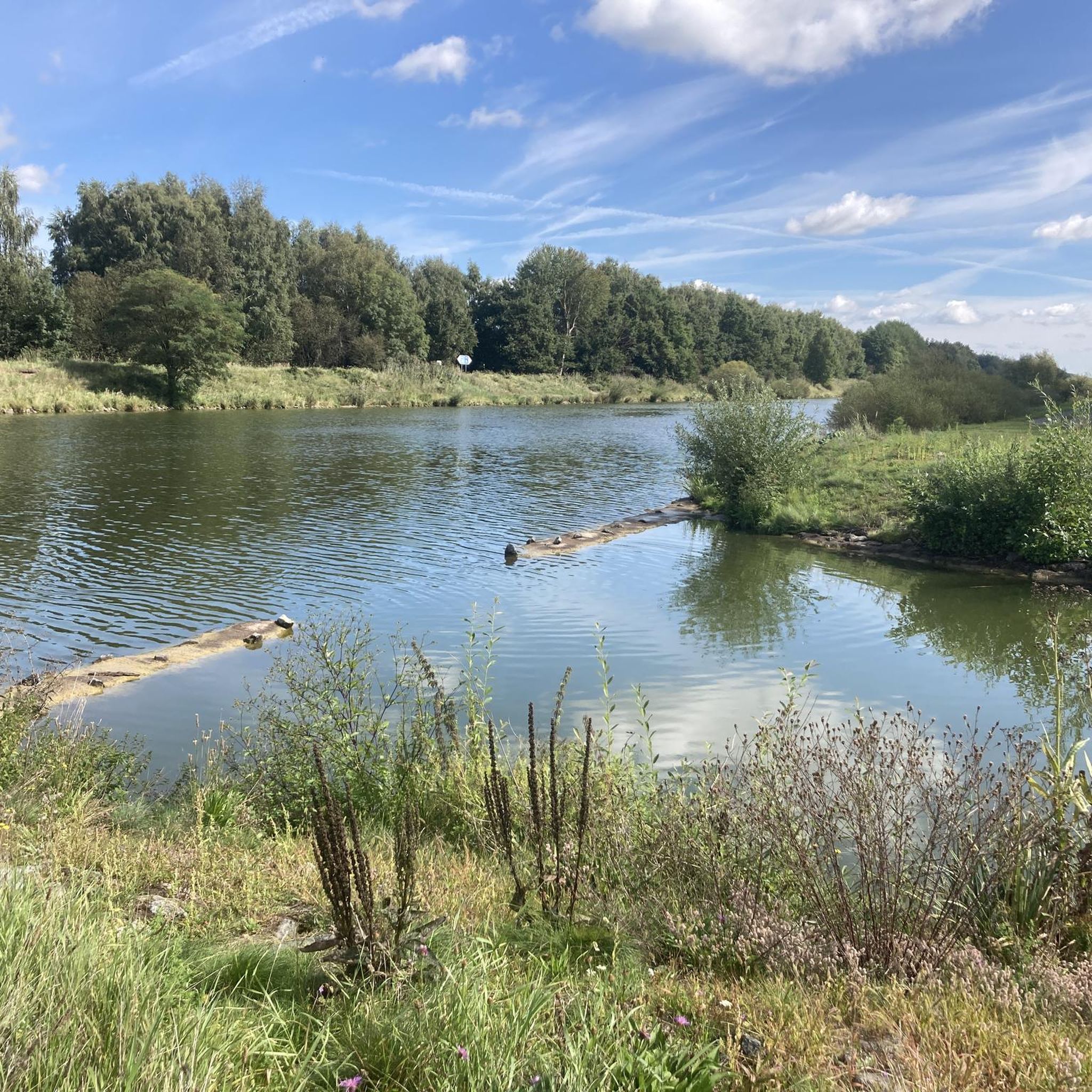
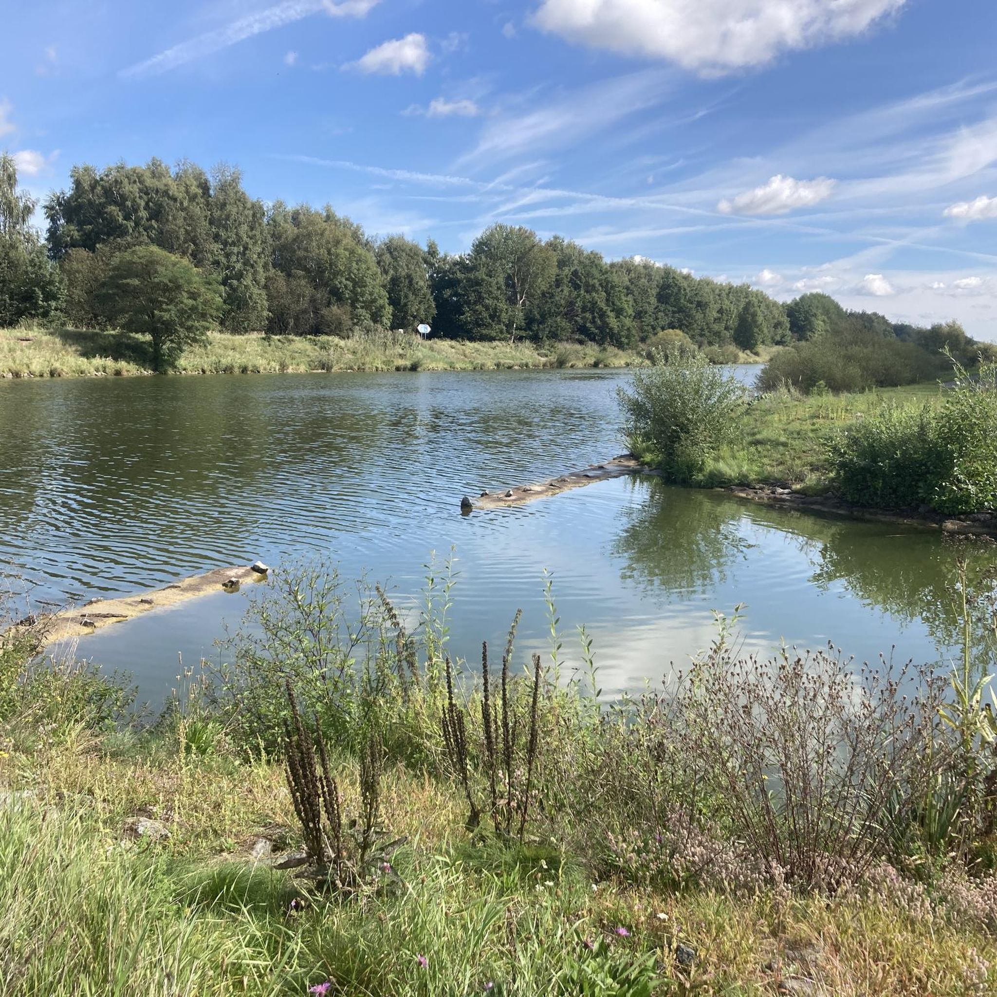
Without the canal, Wolfsburg would probably not exist in its current form. When the city and the Volkswagen factory were planned in the late 1930s, the connection to the Mittelland Canal was crucial for transporting coal for its own power plant and for the removal of manufactured vehicles.
0
0

The Leaning Tower of Wenze. Not of Binde.
0
0

The historic town hall of the municipality of Oebisfelde, with a Roland statue on the front. It has been closed since 2024 and is scheduled to undergo a €5.4 million renovation by 2028. (Question: Volksstimme, May 21, 2024).
0
0

Rectangular sandstone hall church from 1801/1811 on the site of a previous church. Hipped roof with square turret.
1
0

No bike path, but little traffic on weekends. Good asphalt
0
0

the more beautiful ascent to Rieseberg, but also the steeper side
0
0
The section shortly after the A2 was resurfaced to Glentorf in July 2024. A dream in black with two shoulders that takes us undulating to Glentorf.
0
0

Frequently Asked Questions
How many road cycling routes are available in Breitenroder-Oebisfelder Drömling?
There are over 60 road cycling routes in the Breitenroder-Oebisfelder Drömling region. These routes cater to various preferences, ranging from easy two-hour rides to more challenging longer tours, all within the unique lowland landscape.
What is the typical terrain like for road cycling in the Drömling?
The Drömling is characterized by its gentle, lowland topography, being a former marshland. You'll primarily encounter well-paved surfaces suitable for road bikes, winding through an extensive network of ditches, wetlands, and along rivers like the Aller and Ohre, and the Mittelland Canal. Minimal elevation gain makes it accessible for various fitness levels.
What are the difficulty levels of road cycling routes in the region?
The road cycling routes in Breitenroder-Oebisfelder Drömling are generally easy to moderate. There are 18 easy routes and 50 moderate routes available, making the region suitable for both casual riders and those looking for a bit more distance without significant climbs.
What is the best time of year for road cycling in Breitenroder-Oebisfelder Drömling?
The best time for road cycling in the Drömling is typically from spring through early autumn. During these seasons, the weather is generally mild, and the natural landscape, with its diverse ecosystems and waterways, is at its most vibrant. The gentle terrain makes it enjoyable even on cooler days.
Are there any historical landmarks or points of interest to see along the road cycling routes?
Yes, the region offers several cultural and historical sights. You can cycle past the historic town of Oebisfelde, which features one of Europe's oldest preserved moated castles (Sumpfburg) and a historic Rathaus. The village of Buchhorst is also known as the most stork-rich village in the Drömling, offering opportunities for wildlife observation.
Where can I find scenic viewpoints during my ride?
The Drömling offers several spots for scenic views. Along the Allerkanal, you can find panoramic vistas of the surrounding landscape. Observation towers, such as the Niedermoore Stauburg Observation Tower, are excellent spots for birdwatching and taking in the unique wetland scenery.
Are there family-friendly road cycling routes in Breitenroder-Oebisfelder Drömling?
Absolutely. The gentle topography and minimal elevation gain of the Drömling make it ideal for family-friendly cycling. Many of the easy routes are suitable for cyclists of all ages, allowing families to enjoy the unique natural landscape together.
Are there circular road cycling routes in the Drömling?
Yes, many of the road cycling routes in Breitenroder-Oebisfelder Drömling are designed as loops, allowing you to start and end your journey at the same point. For example, the Helmstedt Village Pond – View Over the Old Border Strip loop from Oebisfelde offers varied scenery and historical context.
What kind of natural features can I expect to see while cycling?
The Drömling is a UNESCO Biosphere Reserve known for its unique natural landscape. You'll encounter extensive inland wetlands, a dense network of ditches, alder marsh and alder-ash forests, wet meadows, and water oases. The region is a haven for diverse flora and fauna, including various bird species like storks and herons.
What do other road cyclists enjoy the most about road cycling in Breitenroder-Oebisfelder Drömling?
The area is highly rated by the komoot community, with an average score of 4.7 stars from over 100 reviews. Cyclists often praise the tranquil, flat routes that wind through the unique wetland landscape, the opportunities for wildlife observation, and the well-maintained paths that make for enjoyable rides.
Can I find cafes or places to rest along the road cycling routes?
While the Drömling is a sparsely populated natural area, you can find amenities in towns like Oebisfelde, which serves as a common starting point for many routes. It's advisable to plan your route and check for available services in advance, especially for longer rides.
Is public transport available to access the cycling routes?
Access to the Drömling region is possible via public transport, particularly to larger towns like Oebisfelde. However, the extent of public transport within the biosphere reserve itself might be limited. It's recommended to check local bus or train schedules that connect to the main entry points of the cycling network.
Most popular routes in Breitenroder-Oebisfelder Drömling

Get inspired with the komoot mobile app


Explore more
Browse the best Road cycling routes in other regions.
