The best walks and hikes in Südlicher Drömling
4.6
(2000)
11,096
hikers
742
hikes
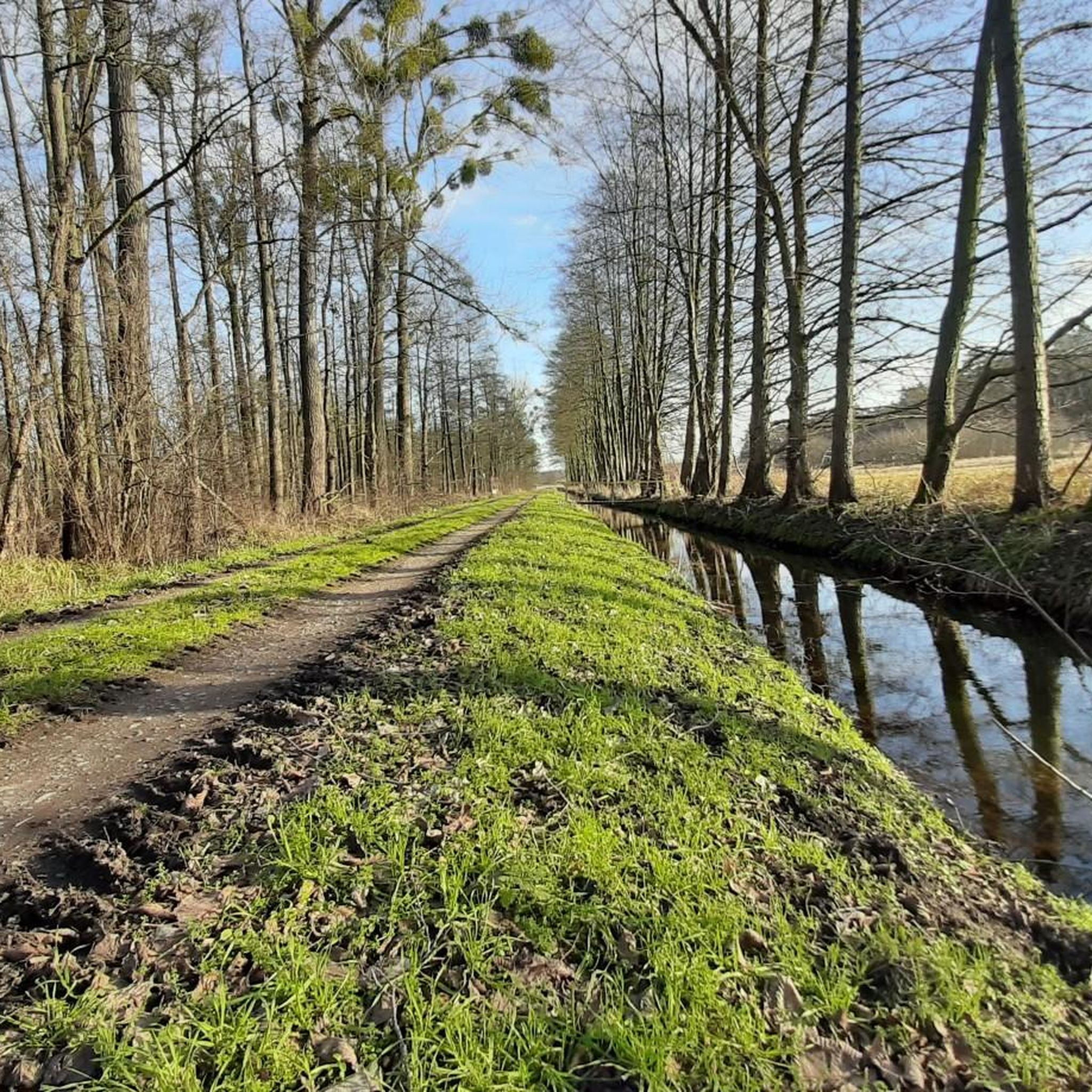
Hiking in Südlicher Drömling offers exploration of a unique lowland landscape, designated as a UNESCO biosphere reserve. This region, a former marshland, features an extensive network of ditches and canals, creating a distinctive "chessboard pattern" of waterways. Hikers will find diverse terrain including wetlands, moorlands, and extensive forests, alongside rivers like the Aller and Ohre, and the Mittelland Canal. The area provides a tranquil setting for outdoor activities, characterized by its flat topography and rich biodiversity.
Best hiking trails in…
Last updated: August 6, 2026
4.5
(2)
10
hikers
Moderate hike. Good fitness required. Easily-accessible paths. Suitable for all skill levels.
10
hikers
8.41km
02:07
10m
10m
Moderate hike. Good fitness required. Easily-accessible paths. Suitable for all skill levels.

Sign up for free
5.0
(3)
5
hikers
Moderate hike. Good fitness required. Easily-accessible paths. Suitable for all skill levels.
4.5
(2)
4
hikers
Moderate hike. Good fitness required. Easily-accessible paths. Suitable for all skill levels.
5.0
(1)
3
hikers
5.85km
01:28
10m
10m
Easy hike. Great for any fitness level. Easily-accessible paths. Suitable for all skill levels.
Get access to more routes and recommendations from other explorers.
Sign up for free
Already have an account?
Our route recommendations are based on thousands of hikes, rides, and runs completed by other people on komoot.
Start today with a free account
Your next adventure awaits.
Login or Signup
Tips from the Community

Red bridge near Brechtorf Side change at the MLK
0
0

Between the border stone Breitenrode–Grafhorst in the Drömling, an old border marker denotes the former border between Lower Saxony and Saxony-Anhalt – today part of the Green Belt.
0
0

stand on the bridge, let your gaze wander over the Drömling, take a deep breath and simply enjoy!
0
0
one of my favorite places in the Drömling
0
0
In spring, the greenery explodes. Simply beautiful!
0
0
The Wendschott Canal Bridge (officially often referred to as Bridge 440) is a distinctive structure in Wolfsburg that crosses the Mittelland Canal. It is of particular importance for walkers, cyclists, and tourists, as it represents a central connection between the Wendschott district and the recreational area around the Allersee.
0
0
The bridge connects Brechtorf (part of the municipality of Rühen) with the surrounding fields and forest paths in the direction of Wolfsburg. It owes its name simply to its striking paintwork. In the often green-brown canal landscape, the bright red immediately catches the eye and serves as an important landmark for cyclists and walkers.
0
0
The Wendschotter Bridge is far more than just a functional structure – it is a distinctive landmark in the northeast of Wolfsburg and an important connection point on the Mittelland Canal. The bridge immediately catches the eye with its modern tied-arch construction. Particularly striking is the white, curved steel arch that spans the roadway. This design not only ensures stability but also lends the structure a certain lightness that integrates well with the surrounding waterscape.
0
0
Frequently Asked Questions
What kind of terrain can I expect when hiking in Südlicher Drömling?
Südlicher Drömling is characterized by a unique lowland landscape, primarily former marshland. You'll find extensive wetlands, moorlands, and forests, crisscrossed by rivers like the Aller and Ohre, and the Mittelland Canal. The terrain is generally flat, offering easy to moderate walks through diverse ecosystems.
How many hiking trails are available in Südlicher Drömling?
There are over 750 hiking routes available in Südlicher Drömling, catering to various preferences. The majority are easy to moderate, with a few more challenging paths for experienced hikers.
Are there any family-friendly hiking options in Südlicher Drömling?
Yes, Südlicher Drömling offers many family-friendly routes. The flat terrain and well-marked paths make it suitable for all ages. Consider exploring the Nature Learning Path Kunrau for an educational and engaging experience for children.
Can I bring my dog on the hiking trails in Südlicher Drömling?
Many trails in Südlicher Drömling are dog-friendly, allowing you to enjoy the natural beauty with your canine companion. However, it's always recommended to keep dogs on a leash, especially in nature reserve areas, to protect local wildlife and ensure a pleasant experience for everyone.
What are some notable natural features or attractions to look out for during a hike?
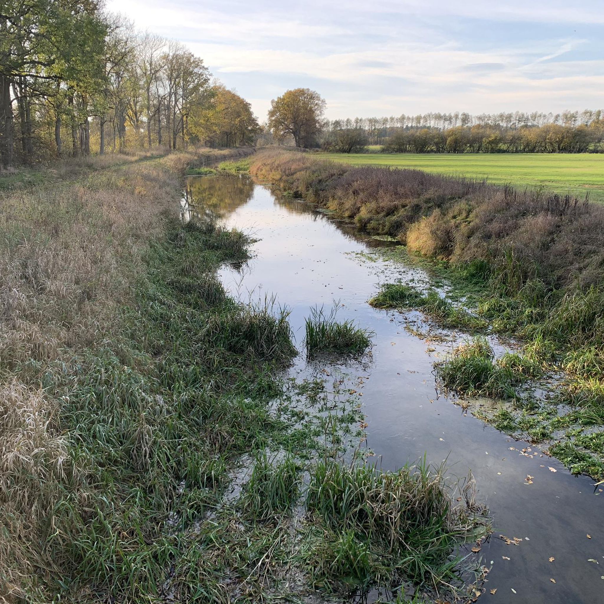
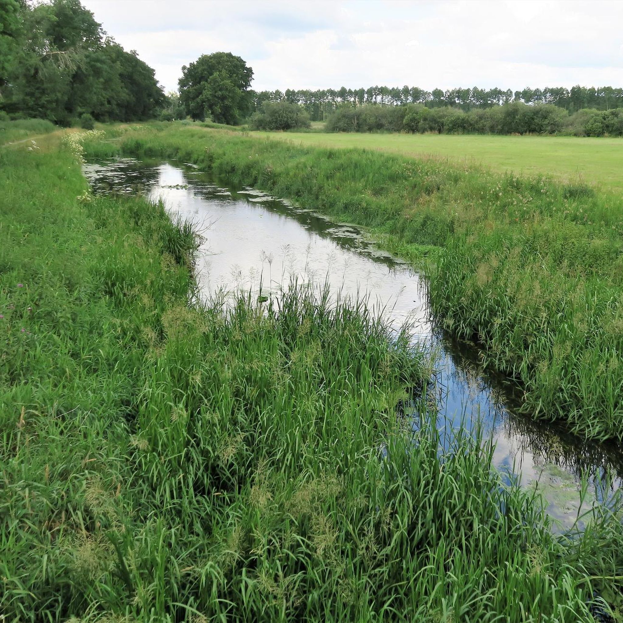
Südlicher Drömling is rich in natural beauty. You can explore the unique 'chessboard pattern' of waterways, extensive forests like the Allerauen Forest in Drömling, and the Aller River in Politz und Hegholz Nature Reserve. The region is also a haven for rare bird species, so keep an eye out for white storks, cranes, and even white-tailed eagles.
Are there any circular hiking routes in Südlicher Drömling?
Yes, Südlicher Drömling features numerous circular routes, perfect for a varied day out without retracing your steps. An example is the Bridge Over the Katharinenbach loop from Politz und Hegholz, which offers a pleasant moderate walk.
What is the best time of year to go hiking in Südlicher Drömling?
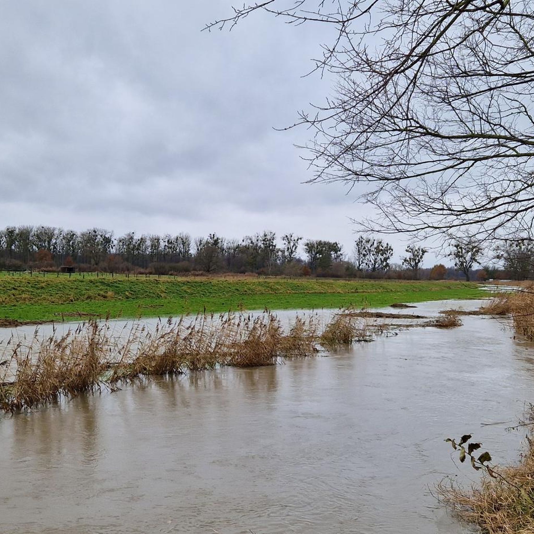
Südlicher Drömling is beautiful year-round. Spring and autumn offer pleasant temperatures and vibrant scenery. In winter and early spring, floods can transform meadows into reflective surfaces, creating a unique landscape and attracting waterfowl. Summer provides shaded routes through the forests.
Are there any historical points of interest along the trails?
Yes, the region has historical significance as a former inner-German border area. You can find remnants like the border stone between Breitenrode and Grafhorst, and the commemorative stone for the opening of the inner-German border at Kaiserwinkel–Jahrstedt. The Former Inner German Border – Bridge Over the Katharinenbach loop from Grafhorst specifically explores this history.
What do other hikers enjoy most about Südlicher Drömling?
The area is highly rated by the komoot community, with an average score of 4.6 stars from over 1,800 reviews. Hikers often praise the tranquil lowland landscapes, the rich biodiversity, and the well-maintained network of trails that offer a deep connection with nature.
Are there any observation towers or viewpoints in Südlicher Drömling?
Yes, for panoramic views of the biosphere reserve, you can visit the Kaiserwinkel Observation Tower. There's also an observation hut in the Nord-Western Orning Nature Reserve, providing a great spot for a break and wildlife viewing.
Is it possible to access hiking trails in Südlicher Drömling using public transport?
While some areas might have limited public transport access, it's generally recommended to check local bus schedules or plan your route in advance. Many trailheads are more easily reached by car, with parking available in nearby villages or designated areas.
Where can I find parking for hiking trails in Südlicher Drömling?
Parking is typically available in the villages surrounding the Drömling, such as Grafhorst or Politz und Hegholz, which serve as starting points for many routes. Look for designated parking areas near trailheads or local community centers.
Most popular routes in Südlicher Drömling
Most popular attractions in Südlicher Drömling

Get inspired with the komoot mobile app


Explore more
Browse the best Hikes in other regions.
