The best road cycling routes in Priorteich/ Sachsenstein
4.6
(174)
2,196
riders
16
rides
Road cycling in Priorteich/ Sachsenstein, located within the southern Harz Mountains, offers diverse terrain for cyclists. The region features a network of roads with challenging climbs, winding descents, and panoramic views, catering to various fitness levels. Its unique gypsum karst landscape, characterized by steep inclines and rock formations like the Sachsenstein, adds both scenic beauty and sporting challenge. Mixed forests, historic sites, and former fish ponds contribute to the varied natural environment.
Best road cycling routes in Priorteich/ Sachsenstein
- The…
Last updated: October 4, 2026
4.8
(6)
60
riders
Easy road ride. Great for any fitness level. Mostly well-paved surfaces and easy to ride.
5.0
(4)
38
riders
43.3km
02:04
550m
550m
Moderate road ride. Good fitness required. Mostly well-paved surfaces and easy to ride.

22
riders
60.8km
02:58
870m
870m
Moderate road ride. Good fitness required. Mostly well-paved surfaces and easy to ride.
16
riders
57.2km
02:45
750m
750m
Moderate road ride. Good fitness required. Mostly well-paved surfaces and easy to ride.
18
riders
103km
04:51
1,270m
1,270m
Hard road ride. Very good fitness required. Mostly well-paved surfaces and easy to ride.
Get access to more routes and recommendations from other explorers.
Already have an account?
Our route recommendations are based on thousands of hikes, rides, and runs completed by other people on komoot.
Start today with a free account
Your next adventure awaits.
Popular around Priorteich/ Sachsenstein
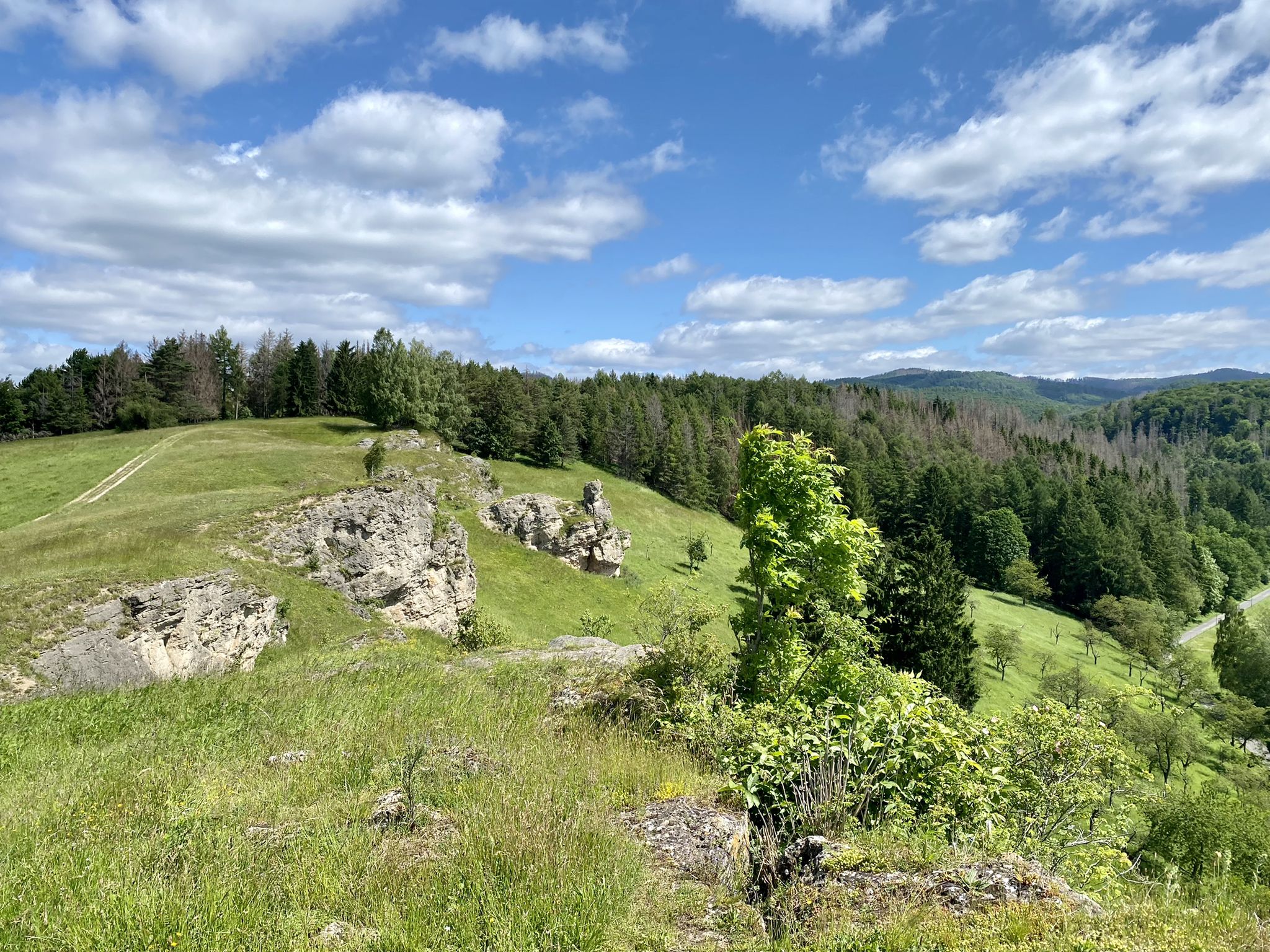
Karst Trail in Germany's Southern Harz Mountains – Where Water Meets Limestone
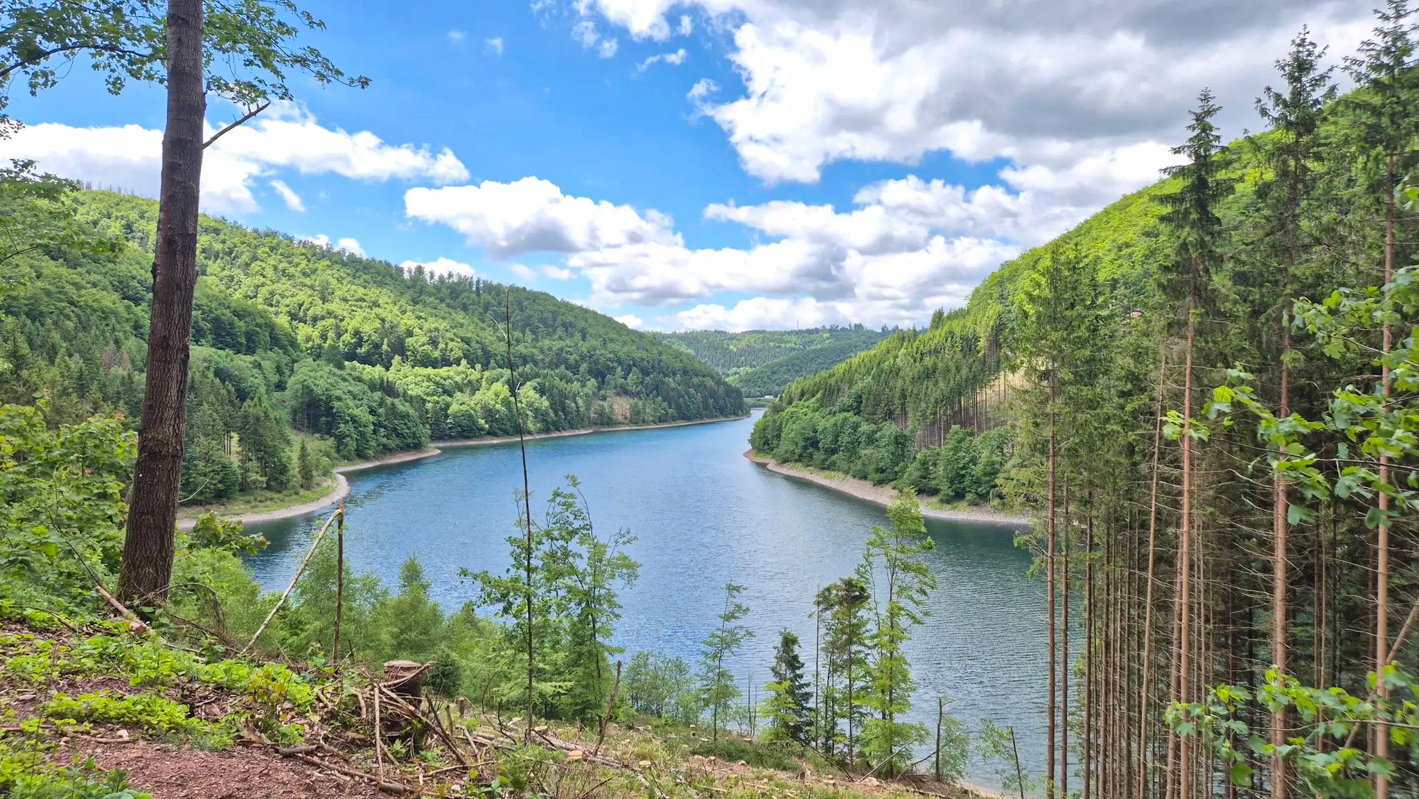
Drei Regionen, viele Abenteuer – Graveln zwischen Harz, Saale und Thüringer Wald
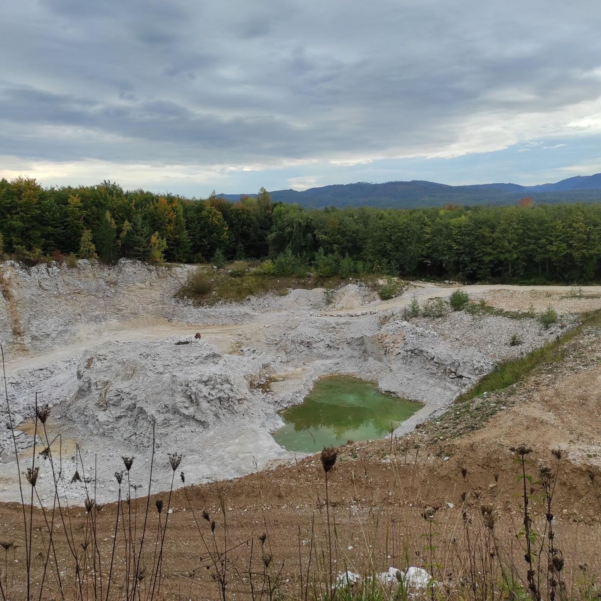
Hiking in Priorteich/ Sachsenstein
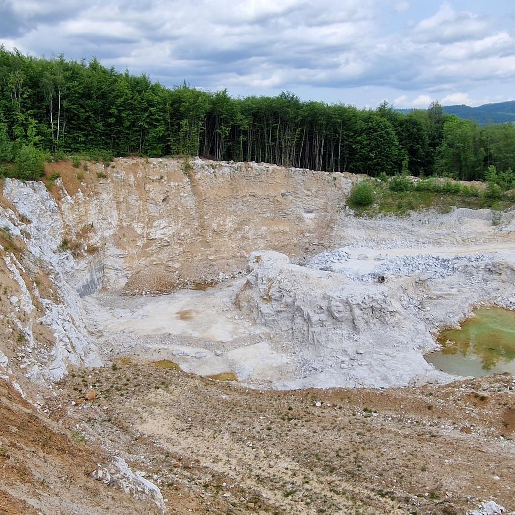
Cycling in Priorteich/ Sachsenstein
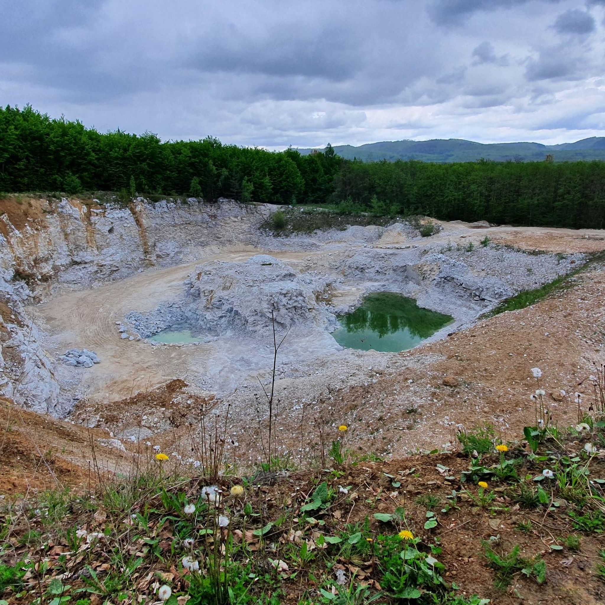
MTB Trails in Priorteich/ Sachsenstein
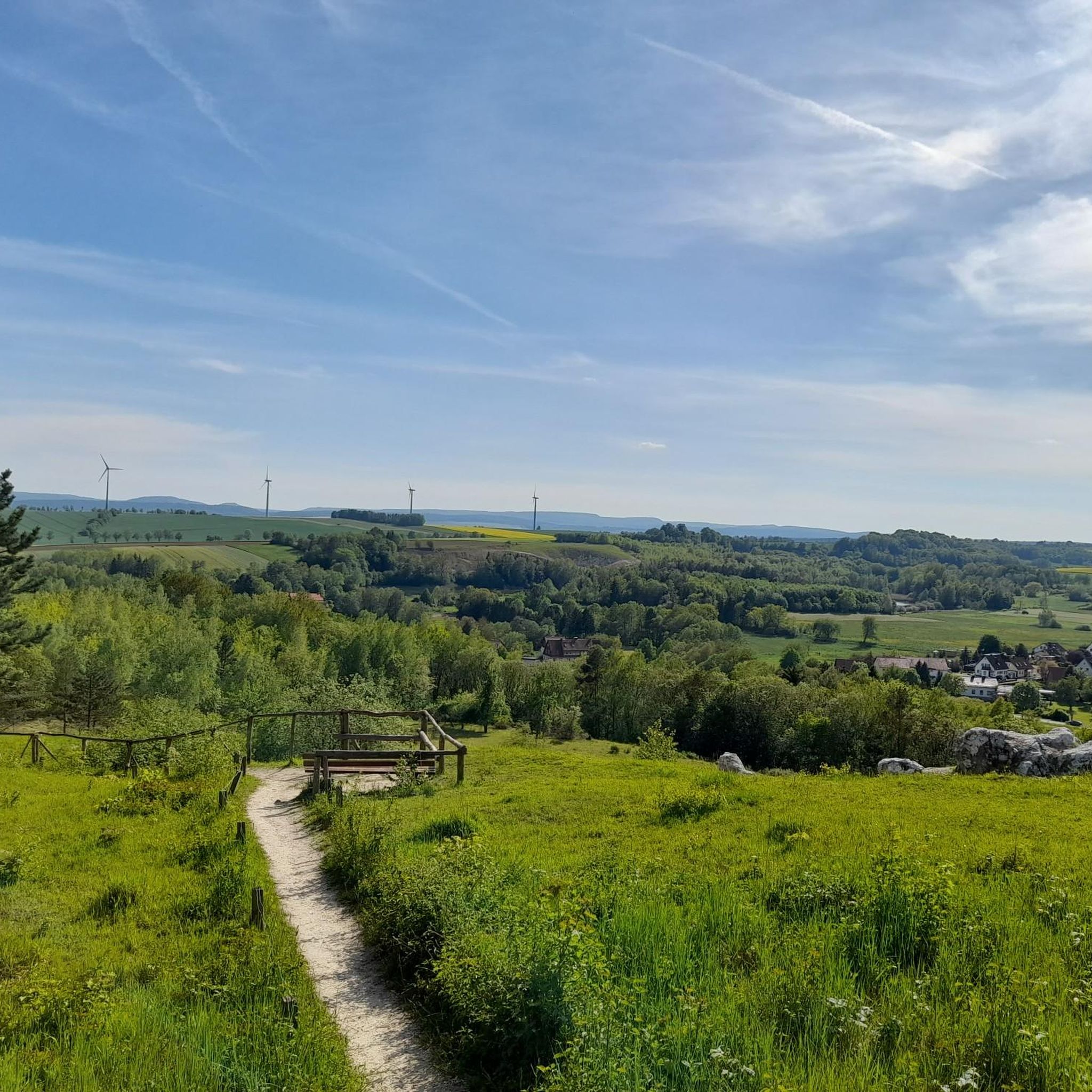
Running Trails in Priorteich/ Sachsenstein

Gravel biking in Priorteich/ Sachsenstein

Mountain Hikes in Priorteich/ Sachsenstein


Tips from the Community

Located directly on the road with air pump, tools, charging station and seating.
0
0

Ilfeld is a charming resort town in the southern Harz region. It lies within a protected landscape area and is also called the "Gateway to the Harz" due to its location.
1
0
A cozy restaurant serving home-style cooking. Perfect for a rest stop. You can find more information and opening hours here: https://www.wirtshaus-netzkater.de/.
1
1

Very nice natural pool, but the nearby road is a bit of a nuisance.
8
1

That was great, a great bike path.
0
0

Beautiful scenery and excellent asphalt. The route is quite quiet and offers a pleasant driving experience.
0
0

The descent is nice, the asphalt is good, but the town sign is also special.
1
0

A beautiful cycle path for mountain bikes and gravel bikes. The gradient is moderate due to the old railway line. It's easy to miss the start at the edge of Wieda.
0
0
Frequently Asked Questions
How many road cycling routes are available in Priorteich/Sachsenstein?
The Priorteich/Sachsenstein area offers a diverse network of 18 road cycling routes. These routes cater to various skill levels, with 2 easy, 11 moderate, and 5 difficult options to explore.
What kind of terrain can I expect when road cycling in Priorteich/Sachsenstein?
Road cycling in Priorteich/Sachsenstein features a varied terrain characteristic of the southern Harz Mountains. You'll encounter challenging climbs with gradients up to 18%, exhilarating winding descents, and panoramic views. The unique gypsum karst landscape adds both scenic beauty and sporting challenge, with mostly well-paved roads and some sections integrating forest roads for a varied experience.
Are there any particularly challenging road cycling routes in the area?
Yes, for experienced cyclists seeking a challenge, routes like the Stolberg Historic Old Town – Zorge–Hohegeiß Ascent loop from Walkenried offer significant elevation gains, reaching over 1500 meters across its 108.9 km distance. This route is classified as difficult and provides a demanding workout.
What are some scenic viewpoints or landmarks I can see along the road cycling routes?
The region is rich in natural beauty and historical sites. You can cycle past the impressive Sachsenstein Rock Formation and the Sachsenstein Cliffs, which offer excellent views over Bad Sachsa. The ruins of Sachsenstein Castle also provide a glimpse into the area's history. Many routes also pass through dense mixed forests and by idyllic ponds like the Priorteich.
Are there any easy or beginner-friendly road cycling routes?
Yes, there are routes suitable for beginners or those looking for a more relaxed ride. An example is the Walkenried Abbey Ruins – Old Gate Neustadt loop from Walkenried, which is an easy 40.4 km trail with a moderate elevation gain, making it accessible for a wider range of fitness levels.
What is the best time of year for road cycling in Priorteich/Sachsenstein?
The Harz Mountains, including Priorteich/Sachsenstein, are generally enjoyable for road cycling from spring through autumn. During these seasons, the weather is typically mild, and the natural landscapes, from lush forests to glistening lakes, are at their most vibrant. The region's diverse terrain means you can find suitable routes even during shoulder seasons.
Can I find loop routes for road cycling in Priorteich/Sachsenstein?
Yes, many of the road cycling routes in Priorteich/Sachsenstein are designed as loops, allowing you to start and end at the same point. For example, the popular Zorge–Hohegeiß Ascent – Walkenried Abbey Ruins loop from Walkenried is a moderate 44 km loop that includes significant ascents and passes historical sites.
What do other cyclists say about road cycling in Priorteich/Sachsenstein?
The road cycling routes in Priorteich/Sachsenstein are highly regarded by the komoot community, holding an average rating of 5.0 stars from over 10 reviews. Cyclists often praise the diverse terrain, the challenging climbs, and the scenic beauty of the Harz Mountains and its unique karst landscape.
Are there any routes that pass by historical sites?
Absolutely. The region is rich in history. Routes like the Ruins of Walkenried Abbey – Forest Edge Cycling Path loop from Walkenried will take you past significant historical sites, including the remnants of Walkenried Abbey, offering a blend of natural beauty and cultural exploration.
What natural features are prominent along the road cycling routes?
The routes wind through rich mixed forests, including ancient beech and oak trees. You'll also encounter natural stream courses, low moorlands, marsh areas, and various former fish ponds. The unique gypsum karst landscape, with visible white gypsum chunks, is a distinctive geological feature of the area.
Are there options for longer road cycling tours?
Yes, for those looking for longer distances, routes such as the Stolberg Historic Old Town – Zorge–Hohegeiß Ascent loop from Walkenried extend over 100 km, providing an extensive ride through the region's varied landscapes and challenging ascents.
What is the typical elevation gain on road cycling routes in Priorteich/Sachsenstein?
The elevation gain varies significantly depending on the route's difficulty. Easy routes might have around 280 meters of ascent, while moderate routes can feature 500-800 meters. Difficult routes, such as the Stolberg Historic Old Town – Zorge–Hohegeiß Ascent loop from Walkenried, can involve over 1500 meters of climbing, reflecting the mountainous character of the Harz region.
Most popular routes in Priorteich/ Sachsenstein
Most popular attractions in Priorteich/ Sachsenstein

Get inspired with the komoot mobile app


Explore more
Browse the best Road cycling routes in other regions.
