Gipskarstlandschaft Bad Sachsa Und Walkenried
Gipskarstlandschaft Bad Sachsa Und Walkenried
The best cycling routes in Gipskarstlandschaft Bad Sachsa Und Walkenried
4.5
(2283)
10,916
riders
507
rides
Touring cycling in Gipskarstlandschaft Bad Sachsa Und Walkenried features a distinctive gypsum karst landscape on the southern edge of the Harz Mountains. This region is characterized by numerous karst phenomena, including sinkholes and springs, alongside extensive beech forests and natural flowing waters. The terrain offers a mix of paths, from gentle routes along water bodies to more challenging sections with varied elevation changes. The landscape provides diverse natural habitats for exploration by bicycle.
Best touring cycling routes in Gipskarstlandschaft Bad…
Last updated: August 7, 2026
4.3
(38)
151
riders
34.6km
02:35
650m
650m
Hard bike ride. Very good fitness required. Mostly paved surfaces. Suitable for all skill levels.
4.3
(13)
75
riders
Easy bike ride. Great for any fitness level. Mostly paved surfaces. Suitable for all skill levels.

Sign up for free
4.6
(35)
78
riders
Moderate bike ride. Good fitness required. Mostly paved surfaces. Suitable for all skill levels.
4.8
(10)
41
riders
54.2km
03:40
760m
760m
Hard bike ride. Very good fitness required. Mostly paved surfaces. Suitable for all skill levels.
4.5
(19)
64
riders
14.1km
01:00
120m
120m
Easy bike ride. Great for any fitness level. Mostly paved surfaces. Suitable for all skill levels.
Get access to more routes and recommendations from other explorers.
Sign up for free
Already have an account?
Our route recommendations are based on thousands of hikes, rides, and runs completed by other people on komoot.
Start today with a free account
Your next adventure awaits.
Login or Signup
Popular around Gipskarstlandschaft Bad Sachsa Und Walkenried
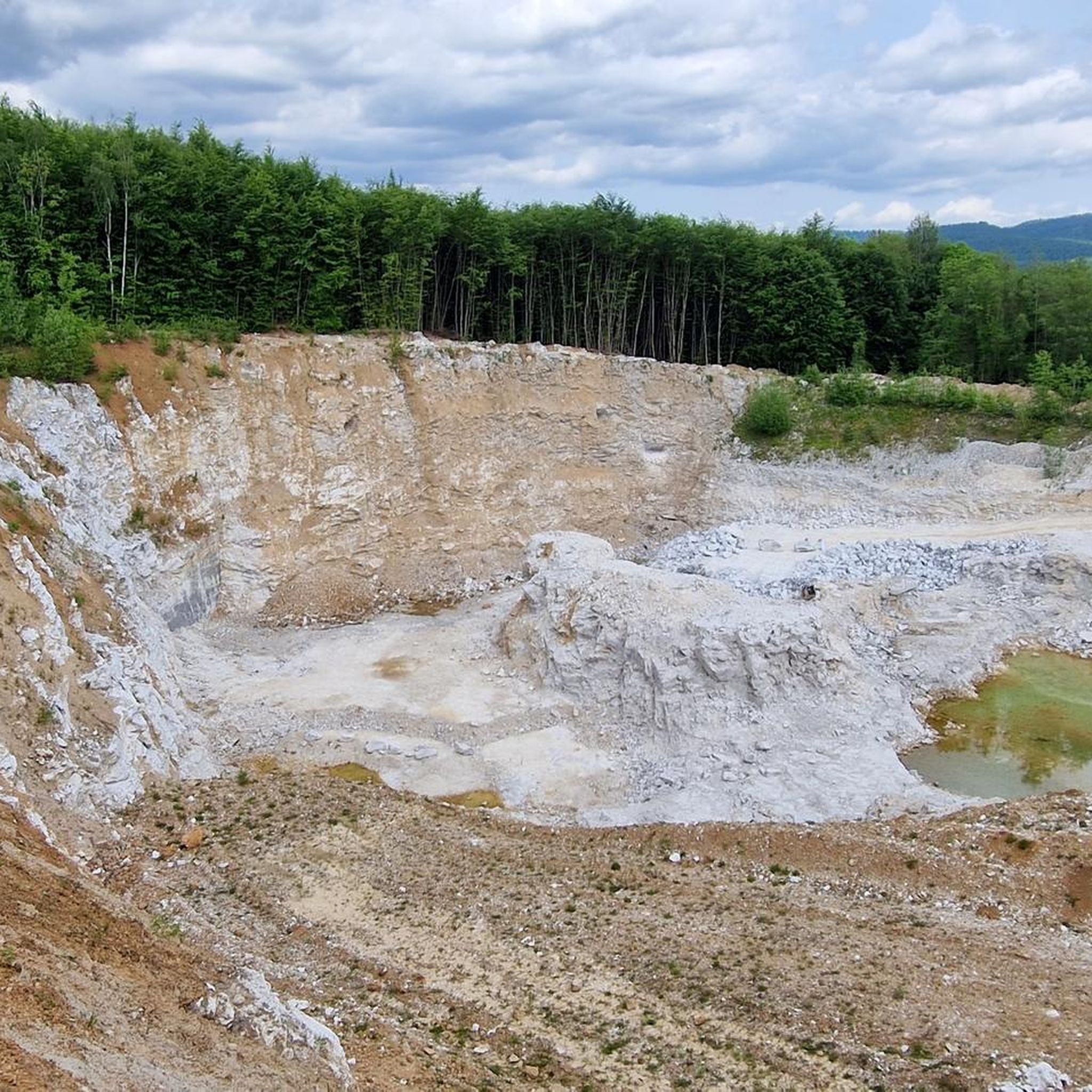
Hiking in Gipskarstlandschaft Bad Sachsa Und Walkenried
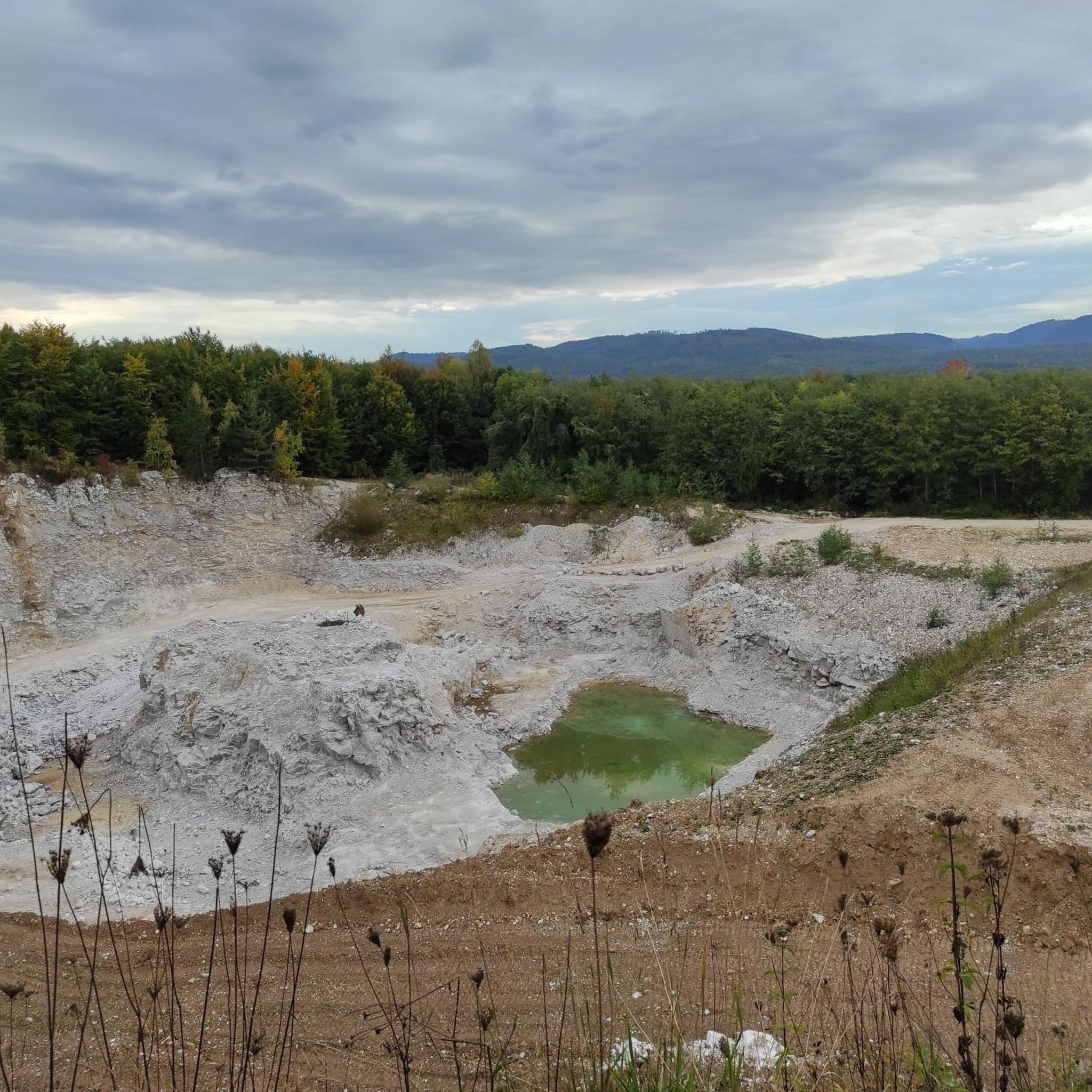
MTB Trails in Gipskarstlandschaft Bad Sachsa Und Walkenried
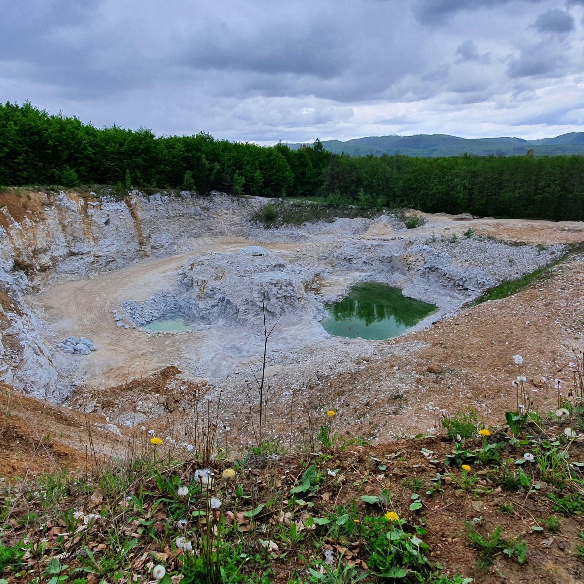
Road Cycling Routes in Gipskarstlandschaft Bad Sachsa Und Walkenried
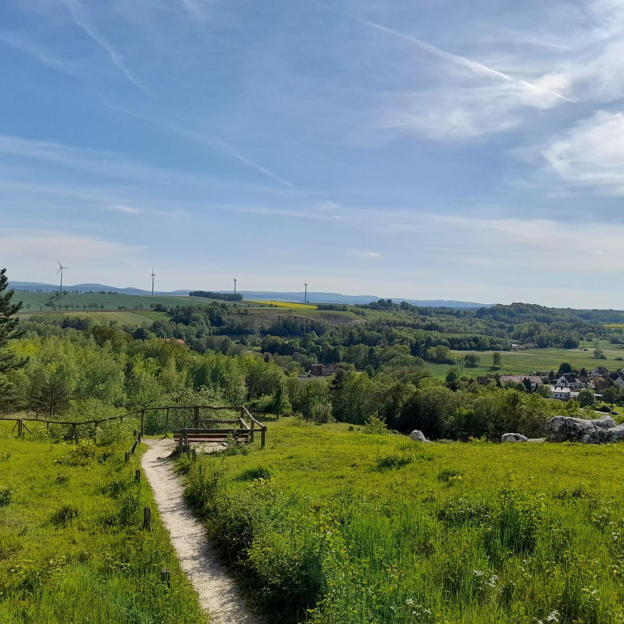
Running Trails in Gipskarstlandschaft Bad Sachsa Und Walkenried

Gravel biking in Gipskarstlandschaft Bad Sachsa Und Walkenried

Mountain Hikes in Gipskarstlandschaft Bad Sachsa Und Walkenried
Tips from the Community

Located directly on the road with air pump, tools, charging station and seating.
0
0
Great and beautiful place.
0
0

It is not used for drinking water supply, but solely for flood protection, low water augmentation, and environmentally friendly energy generation. The Odertalsperre hydroelectric power plant, completed in 1933, was last comprehensively modernized in 2015 and supplies around 1,500 households with green electricity.
9
0

Added to the collection: komoot.com/de-de/collection/3600632/-naturdenkmaeler-besondere-baeume-und-weitere-schaetze-der-natur
0
0

This mighty, almost majestic tree is probably several human lifetimes old.
5
0

Nice little place
1
0


Small reservoir in the southern Harz.
0
0
Frequently Asked Questions
How many touring cycling routes are available in Gipskarstlandschaft Bad Sachsa Und Walkenried?
The Gipskarstlandschaft Bad Sachsa Und Walkenried region offers an extensive network of over 530 touring cycling routes. These routes cater to various skill levels, with approximately 136 easy, 212 moderate, and 183 difficult options available.
What kind of terrain can I expect on touring cycling routes in this region?
The region is characterized by its unique gypsum karst landscape, featuring a mix of paths through beech forests, along natural flowing waters, and past geological formations like sinkholes and caves. While many routes offer gentle sections, some do include steep inclines, particularly in areas bordering the Harz Mountains, requiring a certain level of stamina.
Are there family-friendly touring cycling routes in Gipskarstlandschaft Bad Sachsa Und Walkenried?
Yes, the region is well-suited for families. There are over 130 easy routes available. A notable option is a shorter version of the 'T3' themed looped cycle trail, which is specifically designed to be family-friendly while still showcasing the karst landscape. Another easy route is the Old Walkenried Station – Melting pond loop from Zisterzienserkloster Walkenried, which is 9.7 miles (15.6 km) long.
What unique natural features can I see while cycling in the Gipskarstlandschaft?
The Gipskarstlandschaft is Europe's most significant gypsum karst area. You can expect to see numerous karst phenomena such as sinkholes, dolines, and caves. The landscape is also rich in beech forests, ravine forests, and various water bodies like the picturesque Lower Crane Pond Bad Sachsa. Imposing rock formations like the Sachsenstein Rock Formation are also prominent.
Are there any historical or cultural landmarks along the cycling routes?
Yes, the region is rich in history. You can cycle past the UNESCO World Heritage Site of Walkenried Abbey Ruins, explore former railway lines now converted into cycling paths, or discover historical sites like the Historic Gypsum Kiln (HWN 192). The ancient 'Kaiserweg' (Emperor's Path) also traverses parts of the region, offering glimpses into its past.
Where can I find scenic viewpoints along the touring cycling routes?
For magnificent panoramic views, consider routes that pass by the Ravensberg, northwest of Bad Sachsa, which offers vistas of the Brocken and the Kyffhäusergebirge. The Sachsenstein also provides impressive viewpoints, such as the View from Sachsenstein Hut, which overlooks Neuhof and the Harz Foreland.
Are there circular touring cycling routes available?
Yes, many routes in the region are designed as loops. A notable example is the 'T3' themed looped cycle trail, which is around 30 km long and explores the karst landscape. The Oder Reservoir – Steinatalsperre loop from Bad Sachsa is another popular circular option, covering 21.4 miles (34.5 km).
What is the best time of year for touring cycling in Gipskarstlandschaft Bad Sachsa Und Walkenried?
The region is generally pleasant for cycling from spring through autumn. Spring brings blooming flora, while autumn offers vibrant foliage. The diverse terrain and extensive network mean that conditions can vary, so checking local weather forecasts is always recommended.
What do other touring cyclists enjoy most about cycling in this region?
The area is highly rated by the komoot community, with an average score of 4.5 stars from over 2000 reviews. Reviewers often praise the unique gypsum karst formations, the serene water bodies, and the well-maintained paths that wind through unspoiled nature, offering a diverse and engaging cycling experience.
Are there any long-distance touring cycling options that pass through the region?
Yes, the region is part of larger cycling networks. The 'Kaiserweg' (Emperor's Path), a historic north-south trade route, runs south from Goslar via Walkenried to the Kyffhäuser hill range, spanning 110 km. Additionally, the former railway line between Walkenried and Braunlage, now a cycling and hiking trail of approximately 25 km, offers a moderate but steady incline and historical information.
Can I find challenging routes for more experienced touring cyclists?
Absolutely. The region offers 183 difficult routes for those seeking a challenge. For example, the Parallel Trail along the Brocken Railway – Neuer Goetheweg loop from Bad Sachsa is a demanding 91.3-mile (147 km) route with significant elevation changes. Another challenging option is the Odertalsperre – View of Bad Sachsa loop from Bad Sachsa, covering 52.2 miles (84 km).
Is there an extensive network of cycling routes beyond the immediate area?
Yes, cyclists in Bad Sachsa have access to a vast network of 2,200 km of routes with 74 different options through the 'Volksbank-Arena-Harz'. This provides numerous opportunities to extend your touring cycling adventures beyond the Gipskarstlandschaft itself.
Most popular routes in Gipskarstlandschaft Bad Sachsa Und Walkenried
Most popular attractions in Gipskarstlandschaft Bad Sachsa Und Walkenried

Get inspired with the komoot mobile app


Explore more
Browse the best Cycling routes in other regions.
