The best cycling routes in Kramershai
4.4
(2923)
19,514
riders
332
rides
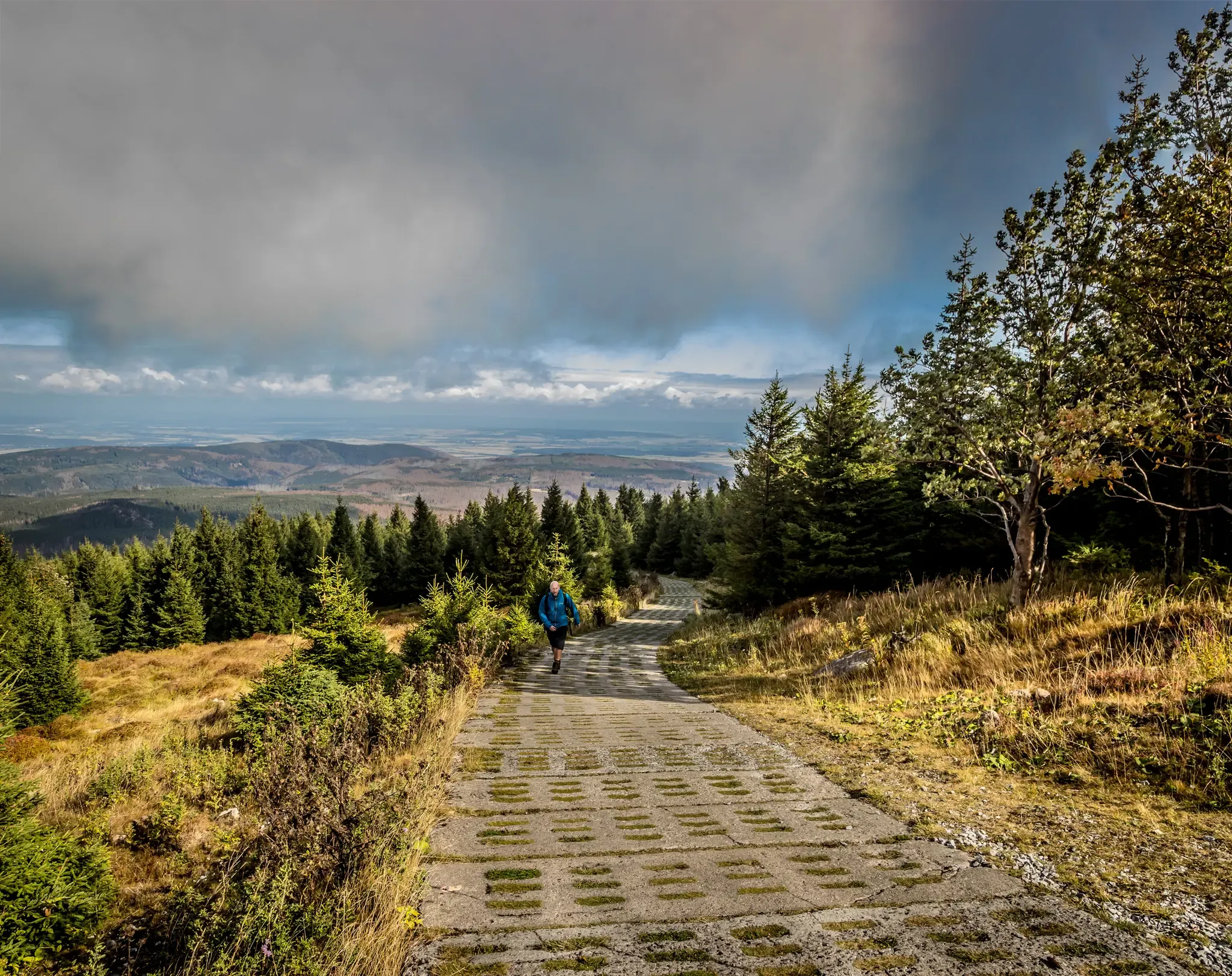
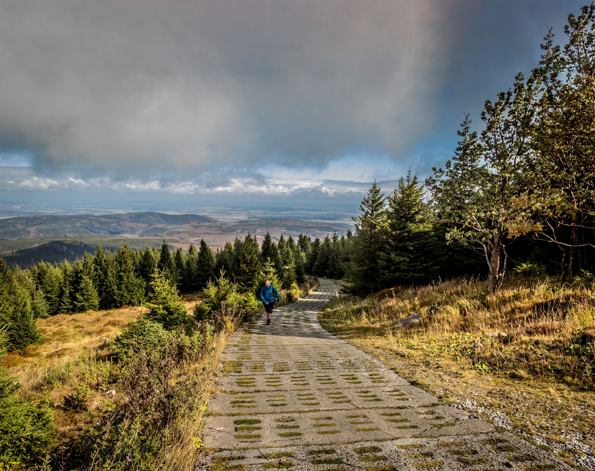
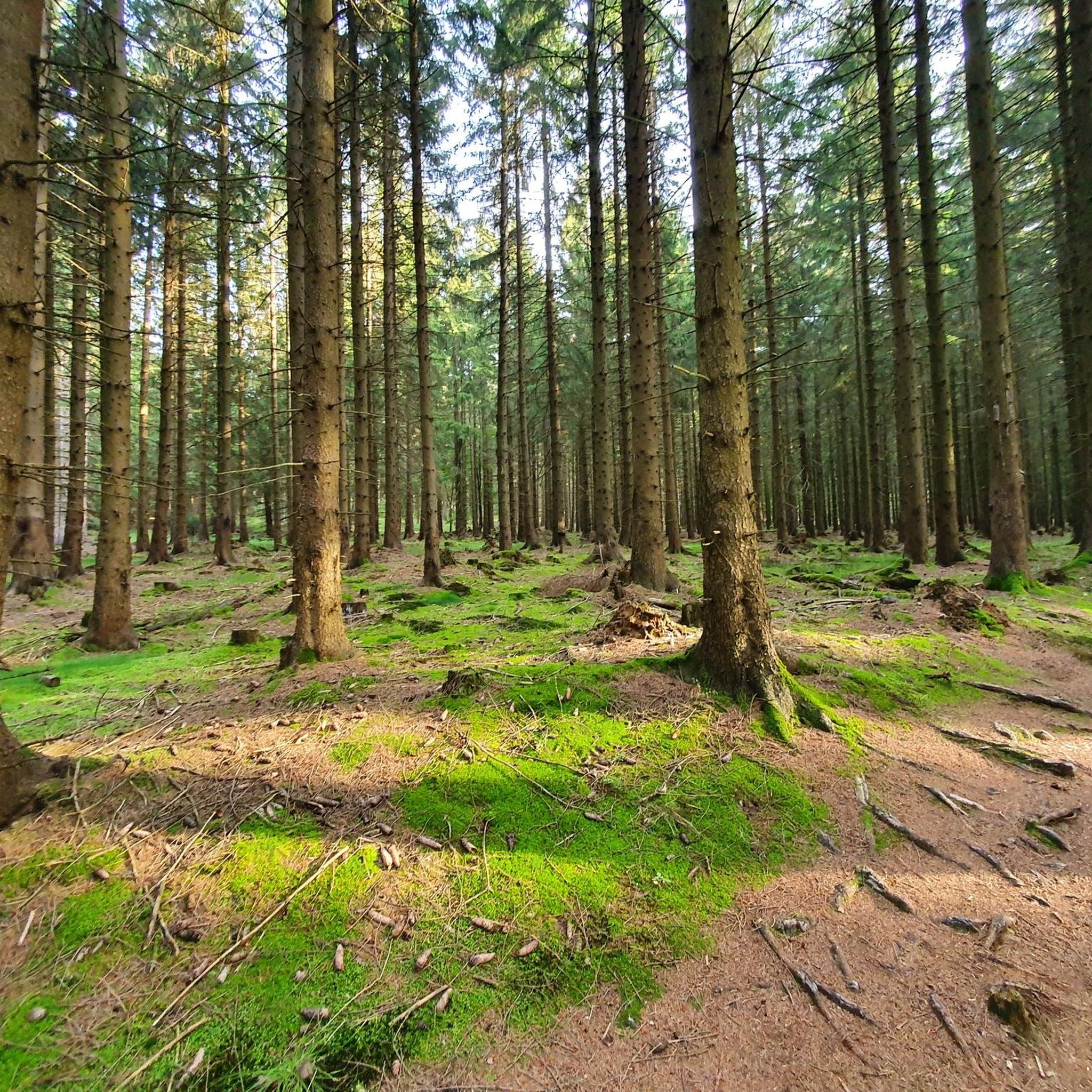
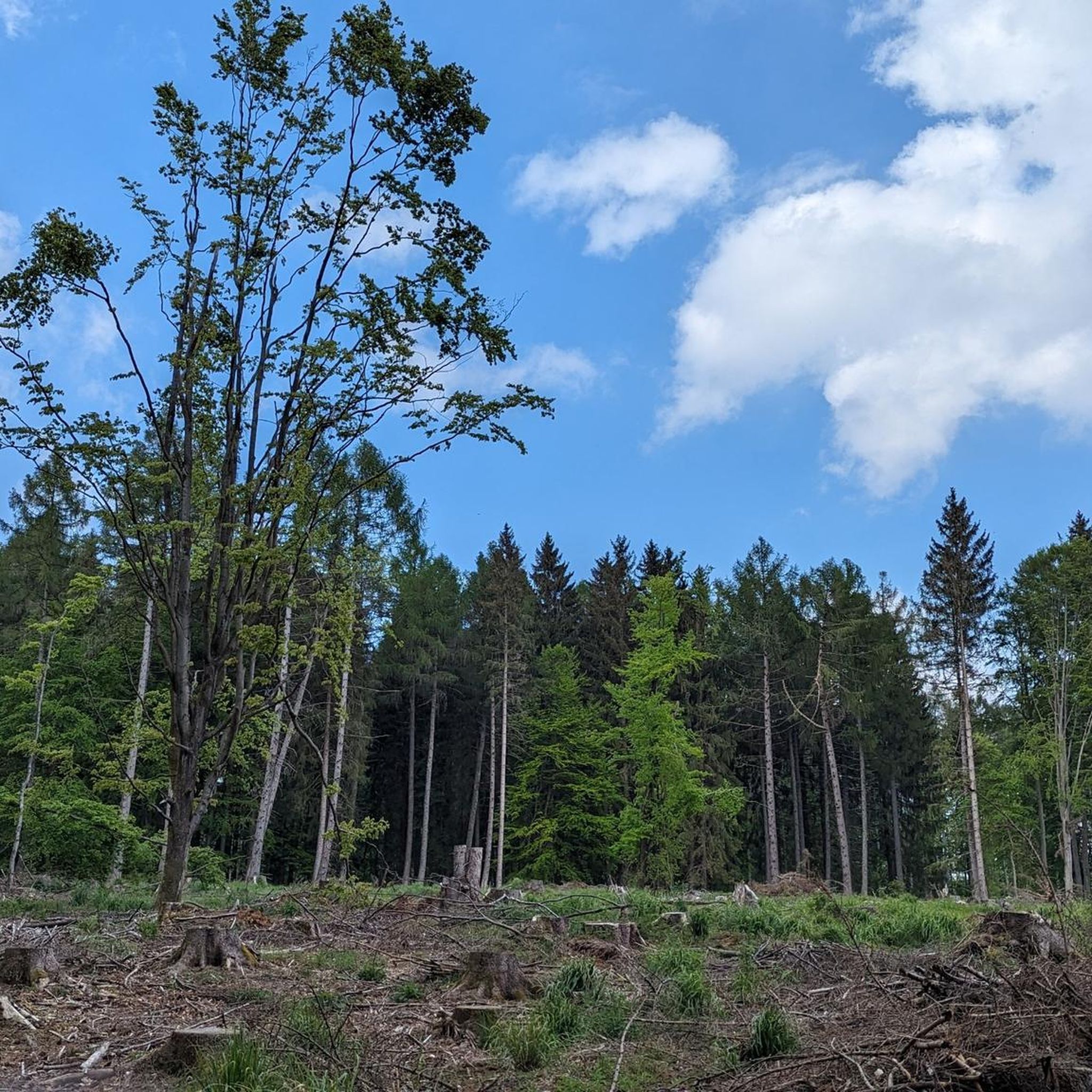
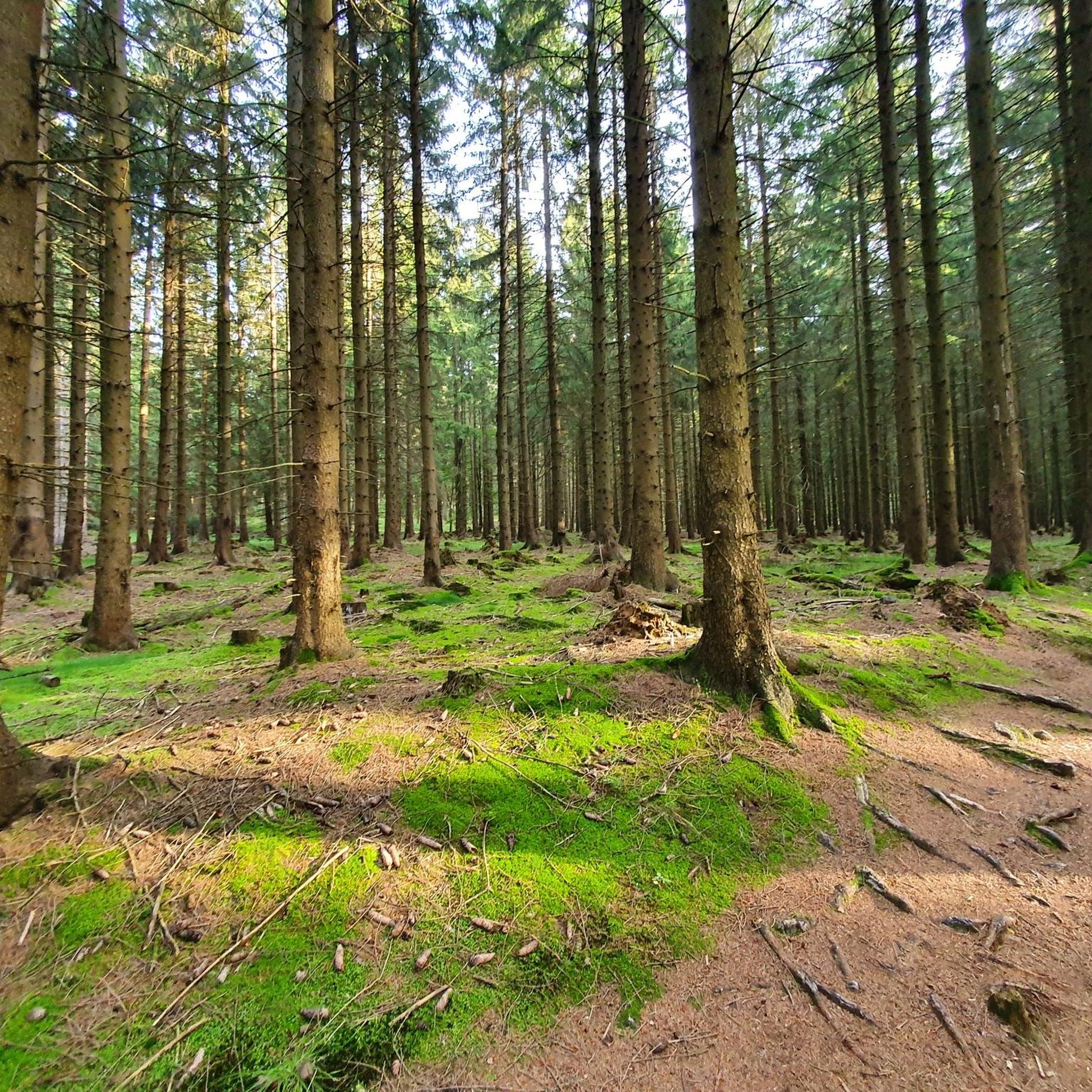
Touring cycling in Kramershai features a diverse landscape characterized by significant elevation changes and extensive natural areas. The region includes parts of the Harz Nature Park and Harz National Park, offering routes that traverse dense forests and ascend to prominent peaks. Cyclists can expect challenging terrain with substantial climbs, leading to viewpoints over the surrounding valleys and mountains. The area's cycling terrain elevation difficulty is notable, with many routes featuring considerable ascents.
Best touring cycling routes in Kramershai
- The most…
Last updated: September 30, 2026
4.7
(10)
66
riders
Moderate bike ride. Good fitness required. Mostly paved surfaces. Suitable for all skill levels.
4.7
(167)
1,149
riders
Hard bike ride. Very good fitness required. Mostly paved surfaces. Suitable for all skill levels.

4.9
(7)
85
riders
38.3km
03:21
990m
990m
Hard bike ride. Very good fitness required. Mostly paved surfaces. Suitable for all skill levels.
5.0
(2)
172
riders
7.70km
00:45
290m
290m
Moderate bike ride. Good fitness required. Mostly paved surfaces. Suitable for all skill levels.
4.8
(155)
976
riders
42.2km
03:02
860m
860m
Hard bike ride. Very good fitness required. Mostly paved surfaces. Suitable for all skill levels.
Get access to more routes and recommendations from other explorers.
Already have an account?
Our route recommendations are based on thousands of hikes, rides, and runs completed by other people on komoot.
Start today with a free account
Your next adventure awaits.


Tips from the Community

The journey is the destination - not always easy terrain, but very beautiful in dry weather
1
0

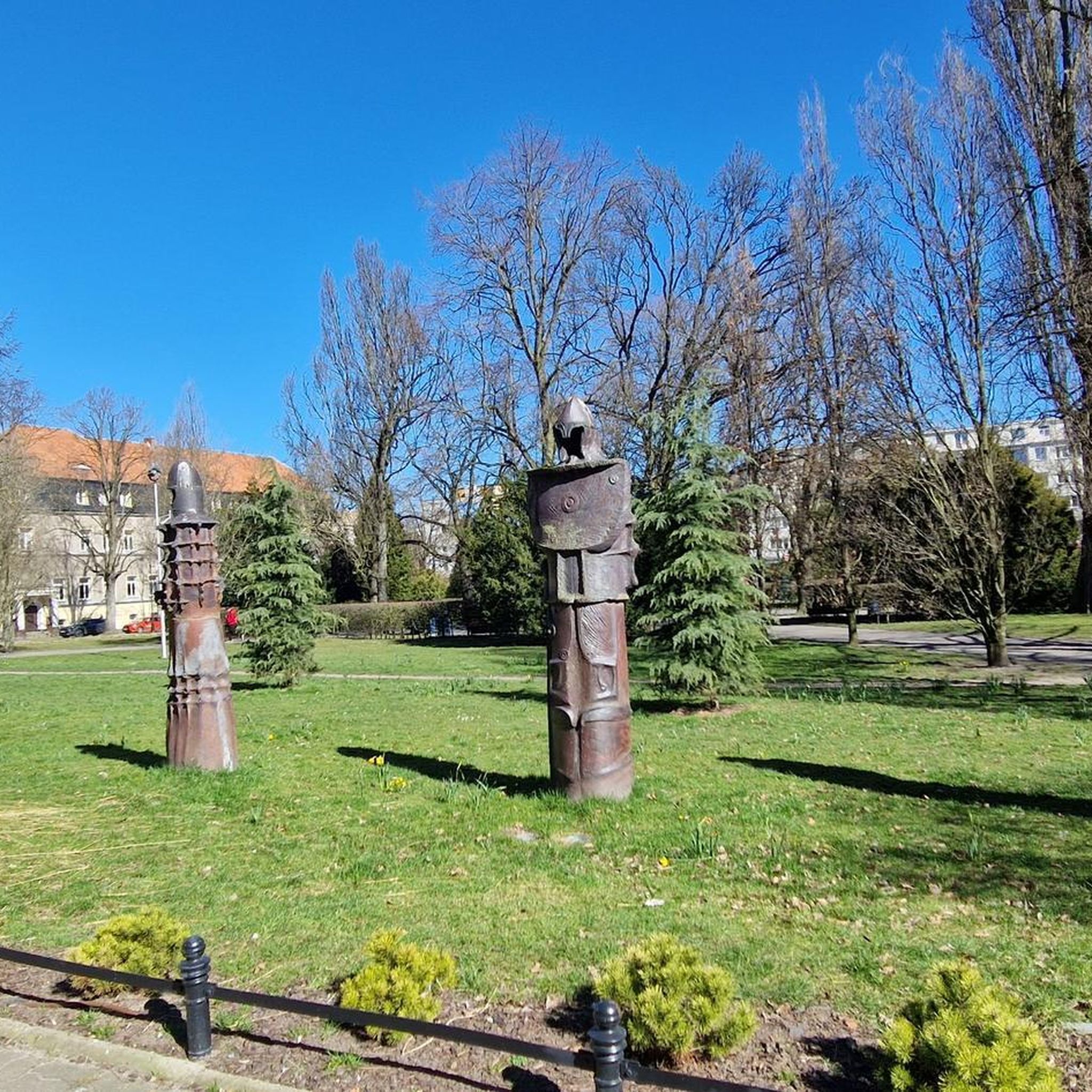
One of the many monuments commemorating the fall of the German-German border, here with quite fitting, if not very subtle, symbolism.
3
0

Visit the Wurmberg cable car middle station
0
0

highly recommended you should stop by
0
1

The Trudenstein is worth a trip and is rewarded with great views when the weather is nice.
15
0

Located at 740 meters. If there is not enough snow in the valley, then this is the end of skiing.
1
0

Beautiful stream. Sit down and take a short break. Totally relaxing with the sound of the water splashing.
1
0

Along the railway line you have a good chance to experience the steam locomotive live.
1
0
Frequently Asked Questions
What kind of terrain can I expect when touring cycling in Kramershai?
Kramershai offers a diverse landscape with significant elevation changes, making for challenging touring cycling. You'll encounter routes that traverse dense forests and ascend to prominent peaks, particularly within the Harz Nature Park and Harz National Park. Expect substantial climbs and descents.
How many touring cycling routes are available in Kramershai?
There are over 320 touring cycling routes recorded in Kramershai on komoot. These routes cater to various skill levels, including approximately 45 easy, 105 moderate, and 165 difficult options.
Are there any routes suitable for beginners or those looking for an easier ride?
While Kramershai is known for its challenging terrain, there are around 45 easy touring cycling routes available. Additionally, you can find over 100 moderate routes that offer a less strenuous experience compared to the more difficult ascents.
What do other touring cyclists enjoy most about Kramershai?
The touring cycling routes in Kramershai are highly rated by the komoot community, with an average score of 4.5 stars from over 2100 reviews. Cyclists often praise the region's diverse landscape, the challenging mountainous ascents, and the extensive natural areas within the Harz Nature Park and Harz National Park.
Are there any circular touring cycling routes in Kramershai?
Yes, many routes in Kramershai are designed as loops. For example, the View of the Brocken – Wurmberg Summit loop from Schierke is a 28.2-mile (45 km) difficult route that takes you through mountainous terrain, offering views towards the Brocken. Another option is the Brocken Summit – Trudenstein (HWN 17) loop from Schierke, a 38.2 km difficult trail.
What are some notable landmarks or points of interest I can see along the touring cycling routes?
Along the touring cycling routes in Kramershai, you can explore several interesting points. Consider visiting the German-German Border Monument Brehmke, or experience the unique Root Trail on the Harzer-Hexen-Stieg within the Kramershai Conservation Area. The Former Death Strip (Border Trail) also offers a historical perspective.
Are there any routes that follow rivers or pass through natural parks?
Absolutely. The Path Along the Ilse – Trout park with trout pond loop from Braunlage is a difficult 60.7-mile (98 km) route that follows the Ilse river and passes through a trout park. Many routes also traverse parts of the Harz Nature Park and Harz National Park, such as From Schierke to the Brocken - Harz Nature Park/Harz National Park/Südharz.
Are there any routes that offer views of the Brocken?
Yes, several routes provide excellent views of the Brocken. The From Schierke to the Brocken - Harz Nature Park/Harz National Park/Südharz route directly ascends towards the Brocken, offering panoramic views within the Harz National Park. Another option is the View of the Brocken – Wurmberg Summit loop from Schierke.
What is the longest touring cycling route available in Kramershai?
One of the longest touring cycling routes is the Path Along the Ilse – Trout park with trout pond loop from Braunlage, which spans 60.7 miles (98 km) and is considered difficult due to its elevation changes.
Are there any routes that are particularly challenging for experienced touring cyclists?
Kramershai is well-suited for experienced touring cyclists, with over 165 difficult routes. The Path Along the Ilse – Trout park with trout pond loop from Braunlage, covering 98 km with over 1500 meters of elevation gain, is a prime example of a challenging route. Another demanding option is From Schierke to the Brocken - Harz Nature Park/Harz National Park/Südharz, which features significant ascents towards the Brocken.
Can I find routes that are less strenuous but still offer scenic views?
Yes, there are over 100 moderate touring cycling routes in Kramershai that provide a balance of scenic beauty and manageable difficulty. For instance, the Hexenritt Alpine Pasture – Rodelhaus Braunlage loop from NSG Wurmberg is a moderate 8.5 km loop that offers pleasant views without the extreme climbs of the more difficult trails.
Most popular routes in Kramershai
Most popular attractions in Kramershai

Get inspired with the komoot mobile app


Explore more
Browse the best Cycling routes in other regions.
