The best road cycling routes in Steinköpfe
4.5
(227)
2,810
riders
122
rides
Road cycling routes in Steinköpfe traverse diverse landscapes at the southwestern edge of Germany's Black Forest. The region features picturesque river valleys, rolling hills, and forested peaks, providing varied terrain for cyclists. Riders can experience panoramic plateaus and a natural environment rich with forests, meadows, and streams. This area offers an extensive network of paved cycling paths suitable for different fitness and skill levels.
Best road cycling routes in Steinköpfe
- The most popular road cycling route is Titan RT Suspension…
Last updated: September 30, 2026
5.0
(1)
10
riders
56.3km
03:02
1,120m
1,120m
Hard road ride. Very good fitness required. Mostly well-paved surfaces and easy to ride.
4.4
(9)
43
riders
68.1km
03:20
1,010m
1,010m
Hard road ride. Very good fitness required. Some segments of this route may be unpaved and difficult to ride.

4.8
(12)
279
riders
107km
05:30
1,860m
1,860m
Hard road ride. Very good fitness required. Some segments of this route may be unpaved and difficult to ride.
5.0
(5)
69
riders
Moderate road ride. Good fitness required. Mostly well-paved surfaces and easy to ride.
4.3
(3)
35
riders
79.3km
03:53
1,170m
1,170m
Hard road ride. Very good fitness required. Mostly well-paved surfaces and easy to ride.
Get access to more routes and recommendations from other explorers.
Already have an account?
Our route recommendations are based on thousands of hikes, rides, and runs completed by other people on komoot.
Start today with a free account
Your next adventure awaits.
Tips from the Community

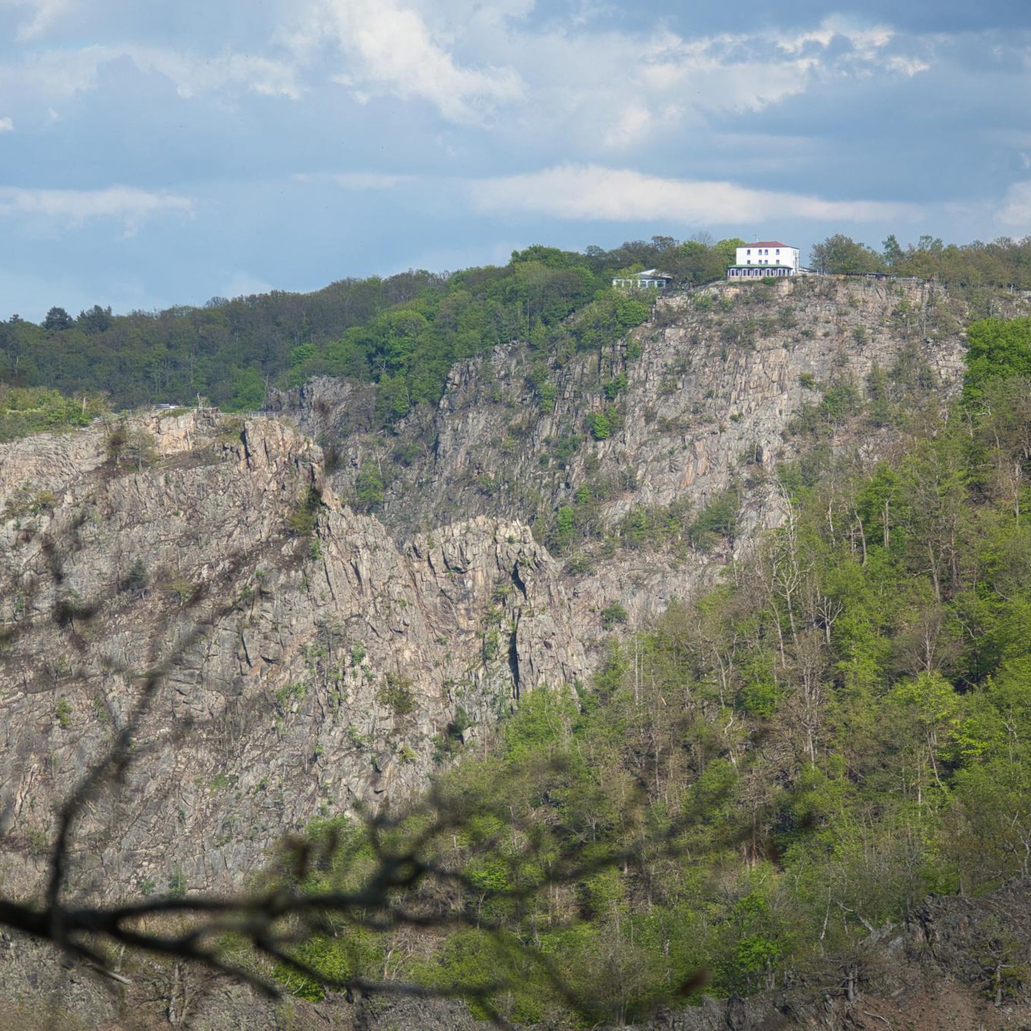
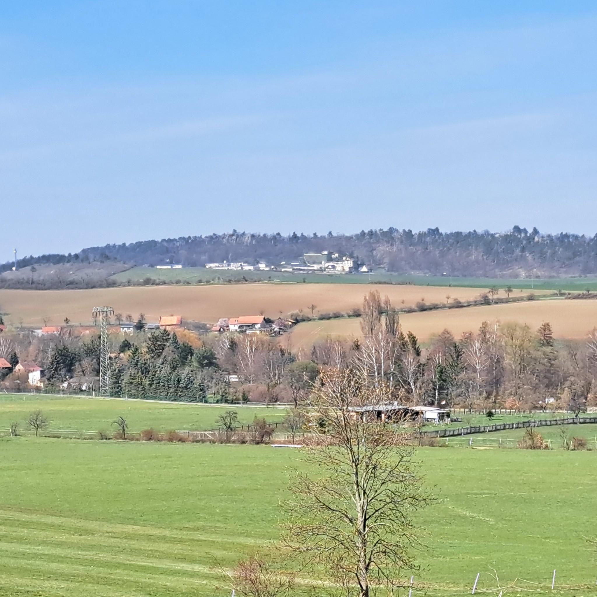
Very worth seeing and exciting.
0
0
Definitely worth a trip.
0
0

The Titan Bridge is a great way to get out of your comfort zone if you have a fear of heights. It sometimes sways slightly in the wind or when someone uses the Giga-Swing. The steel suspension bridge is 483m long, impressive, and offers a great view of butterfly graffiti on the dam wall. Tickets can be purchased from the machine directly in front (on both sides). The number of people who can be on the bridge at the same time is limited.
0
0

The Brocken summit is always exciting
0
0

In the heart of the Rappbode Valley, the "Titan-RT" spans the Bode reservoir with an incredible total length of 458.5 meters. The delicate cable structure was completed in spring 2017 and, with a massive tensile force of 947 tons, claws its way into the slate rocks on both sides of the valley. Four main suspension cables with a diameter of 65 mm form the backbone of the 120-ton structure. In addition, two stabilizing cables keep the bridge in shape—and in position during higher wind speeds. The 120-cm-wide walkway (grating) is lined along its entire length by a 130-cm-high railing and is enclosed on the sides by stainless steel mesh. Highly recommended⭐️⭐️⭐️⭐️⭐️
2
0

Nice climb, but unfortunately too much traffic.
1
0

A beautiful descent, good asphalt, and a very winding section. It's fun to roll. Be careful of traffic, especially buses and motorcycles, which often cross your lane.
0
0
A beautiful and quiet route. There's little traffic and the scenery is just as beautiful as the asphalt.
0
0
Frequently Asked Questions
What is the general difficulty level of road cycling routes in Steinköpfe?
Steinköpfe offers a diverse range of road cycling routes suitable for various abilities. You'll find everything from leisurely rides along river valleys to more challenging climbs into the Black Forest. Out of 127 available routes, 17 are considered easy, 73 are moderate, and 37 are difficult, ensuring options for all skill levels.
What kind of terrain can I expect on road cycling routes in Steinköpfe?
The region is characterized by picturesque river valleys, rolling hills, and forested peaks. You can expect a mix of terrain, including extensive paved paths, some significant elevation gains, and panoramic plateaus. While most road cycling is on paved surfaces, some routes might include sections with varying technical difficulties.
Are there challenging road cycling routes for experienced riders in Steinköpfe?
Yes, experienced riders will find plenty of challenging options. For instance, the Titan RT Suspension Bridge – Wooden Bridge Near Hüttenrode loop from Cattenstedt is a difficult 35-mile route with over 1,100 meters of elevation gain. Another demanding option is the Titan RT Suspension Bridge – Brockenbahn Steam Railway loop from Thale Hauptbahnhof, covering 66.4 miles with over 1,800 meters of ascent.
Are there easy road cycling routes suitable for beginners or families in Steinköpfe?
Absolutely. Steinköpfe provides 17 easy road cycling routes, many of which follow river valleys, offering gentler gradients and a more relaxed experience. These routes are ideal for beginners or families looking for a pleasant ride through the natural environment.
What is the typical length and duration of road cycling routes in Steinköpfe?
Route lengths vary significantly. You can find shorter rides, but many popular routes range from 30 to over 60 miles. For example, the Treseburg – Albert Schneider Monument loop from Thale Hauptbahnhof is a moderate 30.6-mile route, while the Bodetal roundabout - Harz is a difficult 42.3-mile path. Durations can range from a couple of hours to over five hours, depending on the route and your pace.
What landmarks or scenic viewpoints can I see along the road cycling routes in Steinköpfe?
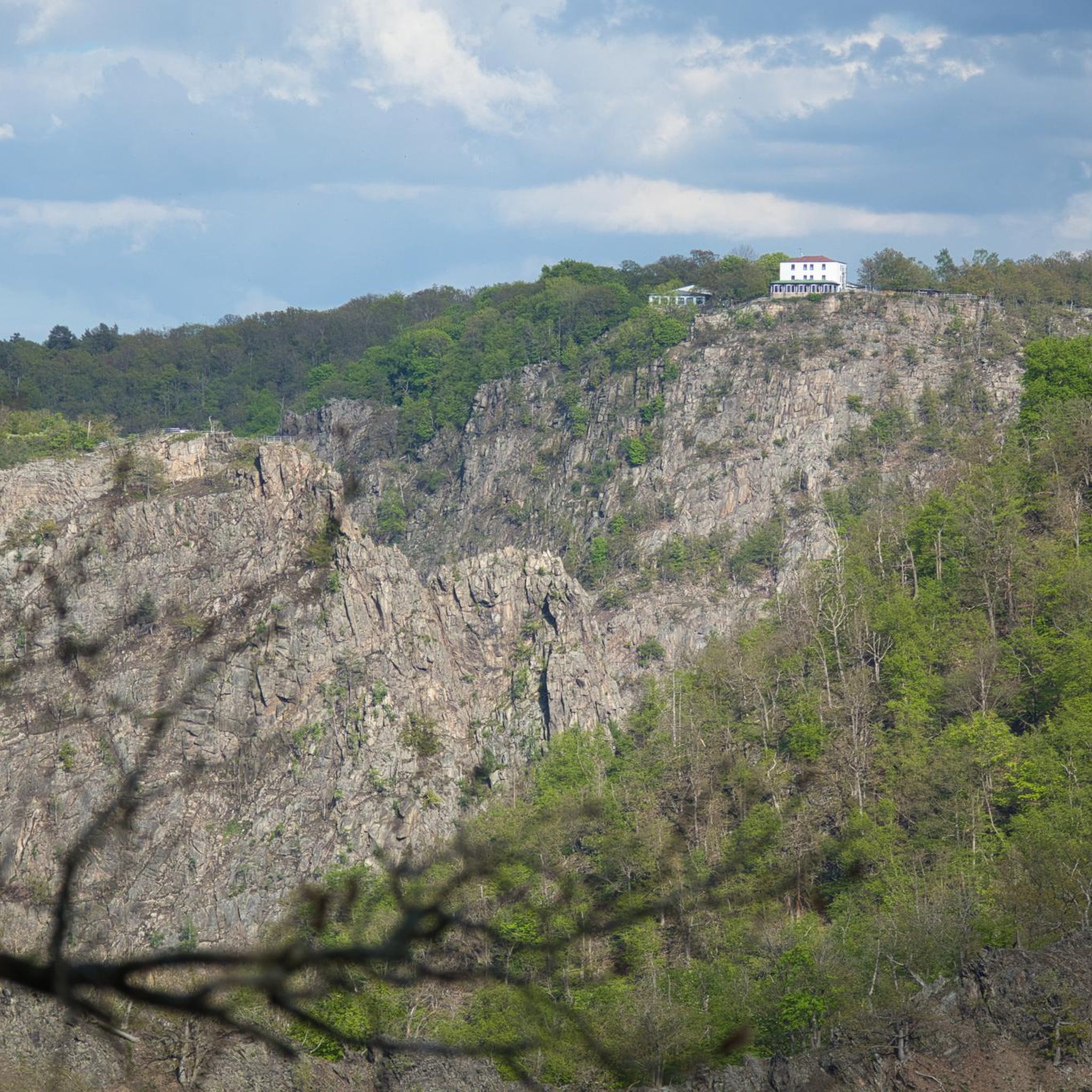
Steinköpfe offers several notable landmarks and scenic spots. You might encounter the Ascent to Rosstrappe from Thale, offering dramatic views, or the Herzogsblick Viewpoint (Bodetal Gorge) for stunning vistas. Other points of interest include the Stone milestone at the Treseburg–Wienrode junction and various forest trails like the Steinköpfe Forest Trail.
When is the best time of year for road cycling in Steinköpfe?
The region's diverse landscapes, with forests, meadows, and streams, are beautiful throughout much of the year. Spring and autumn generally offer pleasant temperatures and vibrant scenery, making them ideal for road cycling. Summer can also be great, especially for rides through shaded forested areas, but be mindful of potential heat.
What do other road cyclists enjoy the most about road cycling in Steinköpfe?
The area is highly rated by the komoot community, with an average score of 4.6 stars from over 150 reviews. Reviewers often praise the diverse landscapes, from picturesque river valleys to challenging forested peaks, and the extensive network of paved paths that cater to different fitness and skill levels.
Are there circular road cycling routes available in Steinköpfe?
Yes, many of the road cycling routes in Steinköpfe are designed as loops, allowing you to start and end at the same point. This is convenient for those driving to the starting point. Examples include the Old Church Bad Suderode – Quedlinburg Old Town loop from Thale Hauptbahnhof, a moderate 36.8-mile route.
Can I reach the road cycling routes in Steinköpfe using public transport?
While specific public transport options vary by starting point, many routes, especially those originating from towns like Thale Hauptbahnhof, are accessible via public transport. It's advisable to check local bus or train schedules for specific route access and bike carriage policies before your trip.
Are there cafes or places to refuel along the road cycling routes?
Given the region's popularity for outdoor activities, you will often find cafes, restaurants, or small shops in the towns and villages along or near the road cycling routes. Planning your route with komoot allows you to identify potential stops for refreshments and breaks.
Most popular routes in Steinköpfe
Most popular attractions in Steinköpfe

Get inspired with the komoot mobile app


Explore more
Browse the best Road cycling routes in other regions.
