The best cycling routes in Untere Mulde
4.5
(11146)
40,228
riders
1,365
rides
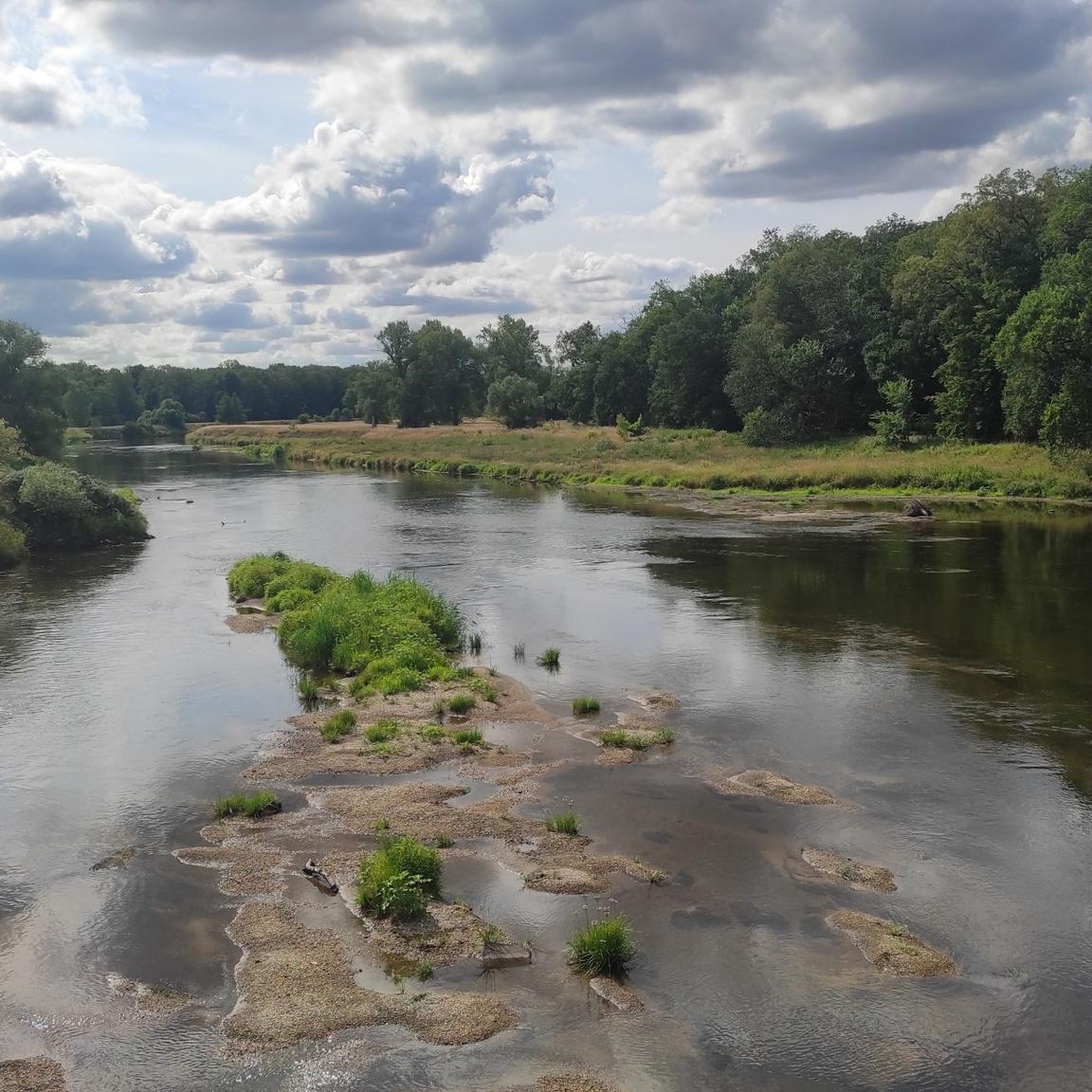
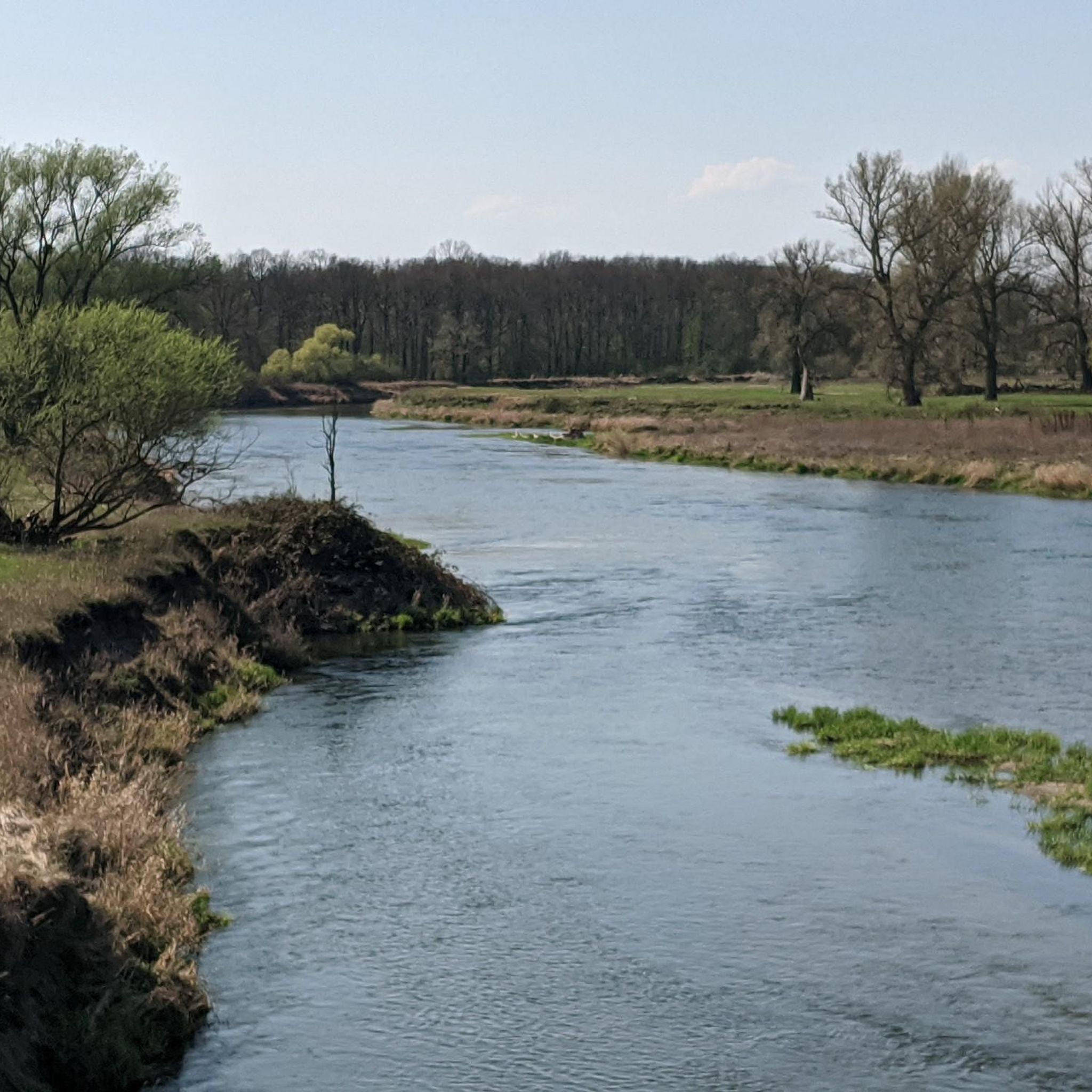
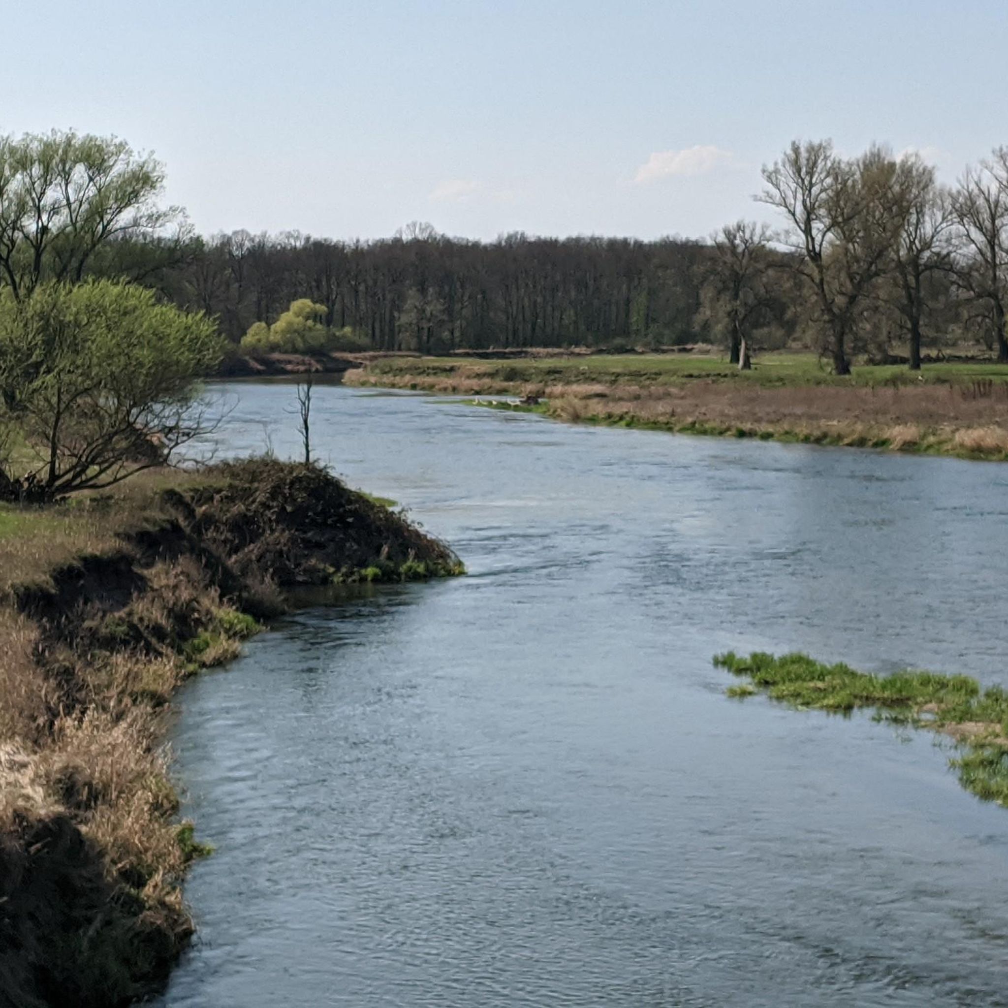
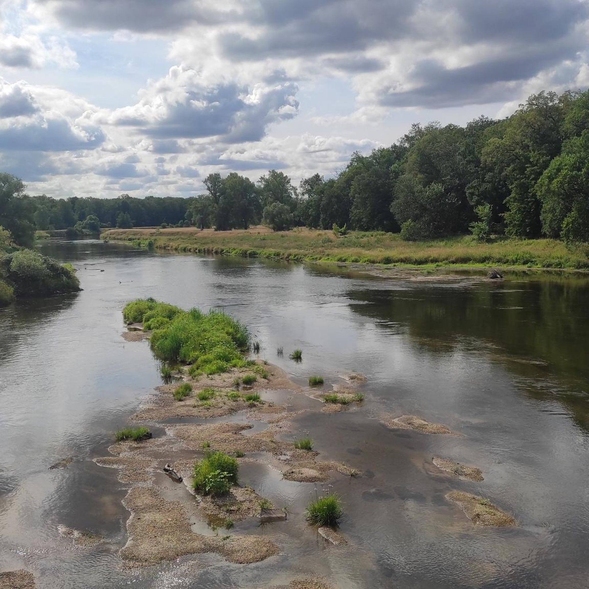
Touring cycling in Untere Mulde is characterized by its gentle topography and the Mulde river, which shapes a vibrant floodplain landscape. The region features extensive meadows, low moors, and riparian forests, particularly within the Muldeaue. Adjacent to the river, the Dübener Heide Nature Park adds mixed forests and lake landscapes to the diverse scenery. This terrain is well-suited for accessible outdoor activities, including touring cycling, with minimal elevation changes.
Best touring cycling routes in Untere Mulde
- The most popular touring…
Last updated: November 10, 2026
4.7
(363)
1,562
riders
Easy bike ride. Mostly paved surfaces.
4.7
(134)
405
riders
Moderate bike ride. Good fitness required. Mostly paved surfaces.

4.8
(45)
123
riders
62.9km
03:46
110m
110m
Moderate bike ride. Good fitness required. Mostly paved surfaces.
4.8
(25)
100
riders
30.0km
01:49
50m
50m
Easy bike ride. Mostly paved surfaces.
4.7
(40)
115
riders
44.3km
02:40
70m
70m
Hard bike ride. Good fitness required. You may need to push your bike for some segments of this route.
Get access to more routes and recommendations from other explorers.
Already have an account?
Our route recommendations are based on thousands of hikes, rides, and runs completed by other people on komoot.
Start today with a free account
Your next adventure awaits.
Tips from the Community

Definitely worth seeing
0
0
Between Dessau and Roßlau, it flows into the Mulde, which in turn flows into the Elbe just a few hundred meters further on. The expansion of the Kapengraben and the drainage of former marsh and swamp areas at the beginning of the 18th century enabled the agricultural use of these areas and, consequently, the development of the villages of Kakau and Horstdorf. In the past, a large number of water mills (including Kapenmühle, Kakauer Mühle, Brückmühle, Müchauer Mühle, Gartenmühle, Hainmühle, Vehsenmühle, Birnbaummühle, Buchholzmühle, Fahringsmühle, Breitewitzer Mühle) were also powered here. For this purpose, storage ponds were created in some cases. The Steingruben-Mühle fell victim to the Golpa-Nord open-cast mine and the Teichdamm-Mühle to the Gröbern open-cast mine. In some sections, the Kapengraben is also used as a fishing water (GW 8-183-13). Source https://de.wikipedia.org/wiki/Kapengraben
1
0
The Kapengraben is a stream in the Dübener Heide. It originates near Oranienbaum from the confluence of the Mühlgraben from the direction of Gräfenhainichen and the Schrotemühlenbach from the direction of Selbitz. The stream gets its name from the former Kapen forest area west of Oranienbaum. The entire stream system around the Kapengraben drains these parts of the heath via the Mulde and Elbe rivers into the North Sea. The largest part of the Kapengraben's catchment area is located in the Middle Elbe Biosphere Reserve. The central administrative headquarters of the biosphere reserve is the Kapenschlösschen, located directly on the Kapengraben between Dessau and Oranienbaum. The information center is located at the access road from the B 107 federal highway. Near Vockerode, the Kapengraben passes under the A 9 motorway; a barrier and a pumping station directly at the motorway protect the hinterland here from flooding from the Mulde and Elbe rivers. Source https://de.wikipedia.org/wiki/Kapengraben
1
0
Definitely worth seeing
1
0

Currently being renovated, no water available.
0
0

Highly recommended for a little refreshment and a cool drink.
0
0

A circuit around the Gremminer See is recommended. In addition to the view of the "Iron City" Ferropolis, there are many very interesting iron sculptures with imagined names to admire along the beautiful, asphalted path. Immediately behind the bridge over the B100/B107 to the town of Gräfenhainichen, you can also stop for an excellent meal at the Greek restaurant "Athos". (https://athos-der-grieche.de)
0
0
Definitely worth seeing
1
0
Frequently Asked Questions
What is the typical terrain like for touring cycling in Untere Mulde?
The terrain in Untere Mulde is generally characterized by gentle topography, making it ideal for touring cycling. You'll primarily encounter the Muldeaue floodplains with extensive meadows, low moors, and riparian forests. The routes often follow the Mulde river, and some paths lead through mixed forests and lake landscapes, particularly near the Dübener Heide Nature Park. Elevation changes are minimal, ensuring an accessible and enjoyable ride.
What natural features can I expect to see while cycling in Untere Mulde?
Untere Mulde is rich in natural beauty, largely shaped by the Mulde river. Cyclists can expect to see the vibrant Muldeaue floodplains, with their naturally dynamic river course, old river arms, and sandbanks. The region is home to diverse hardwood and softwood riparian forests, and in some areas, the Mulde maintains a wild, untamed character. The nearby Dübener Heide Nature Park also offers mixed forests and serene lake landscapes.
Are there any historical sites or landmarks to explore along the cycling routes?
Yes, Untere Mulde offers several interesting historical sites and landmarks. You might encounter the notable Hunting Bridge over the Mulde in Dessau, known for its viewing bulges. Other historical points include the Manor House and Church Muldenstein, with parts dating back centuries, and the Muldenstein Manor House. While cycling, you may also come across remnants like the Salegast Church Ruin or World War II bunkers.
How many touring cycling routes are available in Untere Mulde?
Untere Mulde offers a wide selection of touring cycling routes, with over 1,300 options available. This includes a variety of routes catering to different preferences, from easy paths through floodplains to more challenging trails that explore forest and lake landscapes.
What is the best time of year for touring cycling in Untere Mulde?
The gentle topography and diverse landscapes of Untere Mulde make it suitable for touring cycling throughout much of the year. Spring and autumn generally offer pleasant temperatures and beautiful scenery, with blooming nature or vibrant fall colors. Summer is also popular, though it can be warmer. The region's well-developed paths are enjoyable in most conditions.
Are there any family-friendly touring cycling routes in Untere Mulde?
Yes, many routes in Untere Mulde are suitable for families due to the region's gentle topography and minimal elevation changes. An excellent option is the Sieglitzer Park Gate – Dessau Gate loop from Dessau-Waldersee, an easy 18.8-mile (30.3 km) trail that offers pleasant views of the Mulde river and its floodplains, perfect for a relaxed family outing.
Are there any circular touring cycling routes in Untere Mulde?
Yes, Untere Mulde features numerous circular touring cycling routes, allowing you to start and end your journey in the same location. For example, the Muldeaue – Sieglitzer Park Gate loop from Dessau-Waldersee is an easy 18.7-mile (30.0 km) path that traverses the Muldeaue, showcasing the region's natural river dynamics and riparian forests in a convenient loop.
What do other touring cyclists enjoy the most about cycling in Untere Mulde?
The touring cycling routes in Untere Mulde are highly rated by the komoot community, with an average score of 4.6 stars from over 8,400 reviews. Cyclists often praise the tranquil flowing waters of the Mulde, the diverse landscapes of the floodplains and forests, and the well-maintained paths that make for an accessible and enjoyable experience for all skill levels.
Are there routes that pass by lakes or offer lake views?
Yes, some touring cycling routes in Untere Mulde incorporate lake landscapes, particularly those near the Dübener Heide Nature Park. For instance, the View of Gröberner Lake – Lake Gröbern loop from Raguhn is a moderate 34.2-mile (55.0 km) route that offers scenic views of Gröberner Lake, providing a different natural experience from the riverine floodplains.
What is the longest touring cycling route recommended in Untere Mulde?
For those looking for a longer touring cycling experience, the View of Gröberner Lake – Lake Gröbern loop from Raguhn is a notable option. This moderate route spans 34.2 miles (55.0 km) and takes approximately 3 hours 25 minutes to complete, offering extensive exploration of the region's landscapes, including lake views.
Are there any routes that are considered more challenging for experienced touring cyclists?
While many routes in Untere Mulde are easy, there are options for more experienced touring cyclists seeking a greater challenge. The Salegaster Forst Forest Path – Great Goitzsche Lake loop from Jeßnitz (Anh) is classified as difficult. This 18.2-mile (29.3 km) trail leads through forest paths and past lake landscapes, providing a more demanding ride compared to the gentler floodplain routes.
Most popular routes in Untere Mulde
Most popular attractions in Untere Mulde

Get inspired with the komoot mobile app


Explore more
Browse the best Cycling routes in other regions.
