The best road cycling routes in Pfaffenheide-Wörpener Bach
4.5
(85)
1,161
riders
71
rides
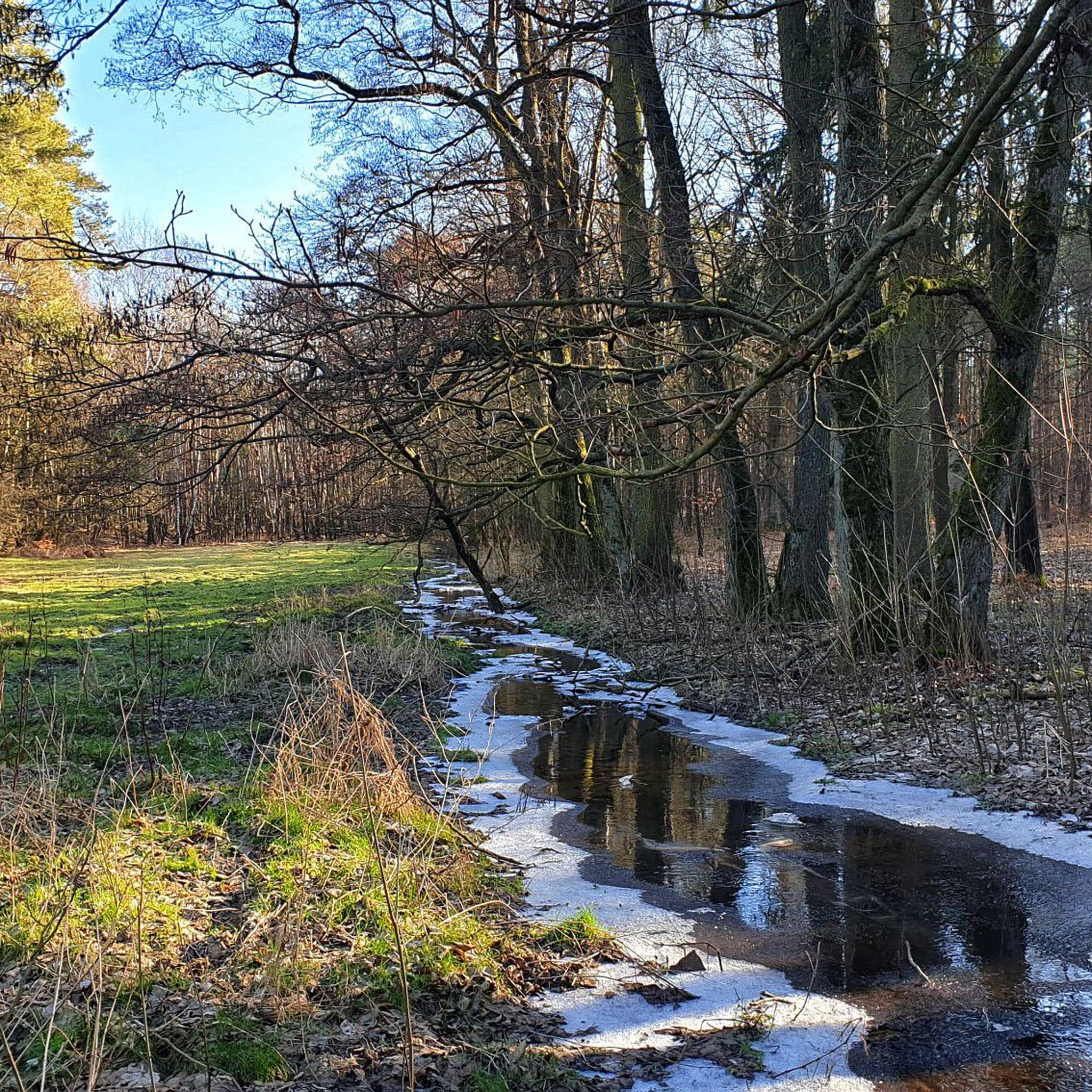
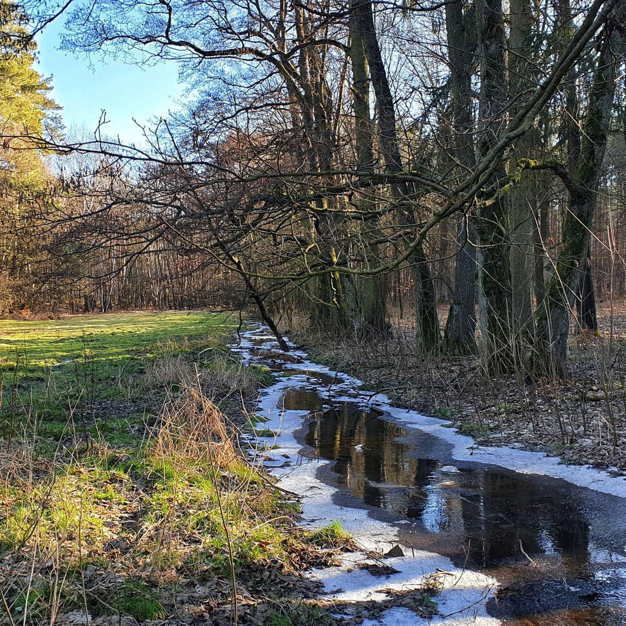
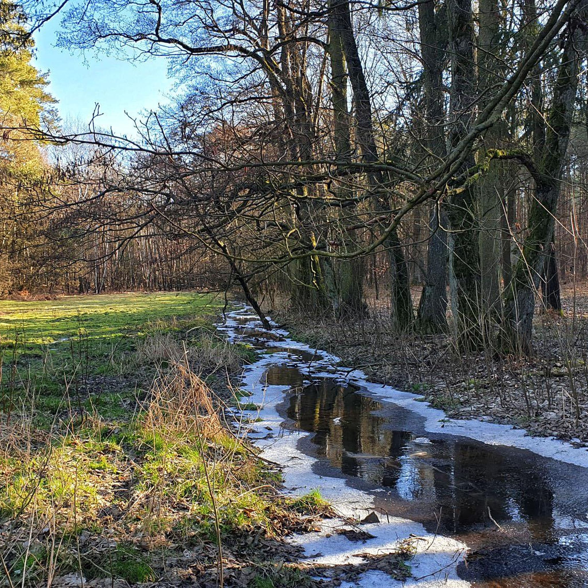
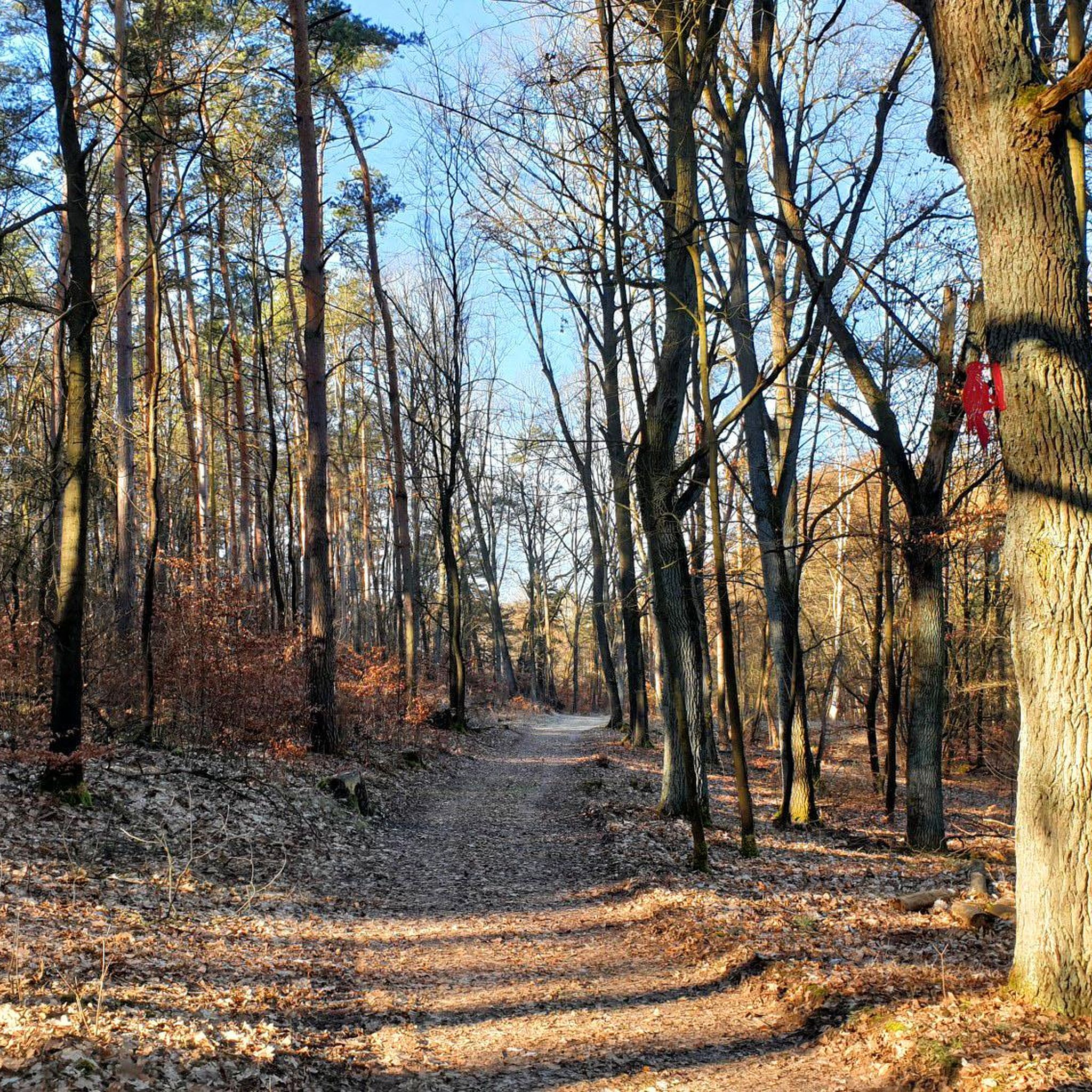
Road cycling routes in Pfaffenheide-Wörpener Bach traverse a moraine landscape, a result of the Saale Ice Age, which contributes to varied terrain. The region features extensive oak-mixed forests and alder carr forests along the Wörpener Bach. Road surfaces are generally good, making the area suitable for diverse cycling experiences.
Best road cycling routes in Pfaffenheide-Wörpener Bach
- The most popular road cycling route is Village Church Klein Marzehns – Village Church of Weddin loop from Coswig (Anhalt), a moderate 42.5…
Last updated: August 7, 2026
48
riders
Moderate road ride. Good fitness required. Mostly well-paved surfaces and easy to ride.
4.5
(4)
28
riders
Easy road ride. Great for any fitness level. Mostly well-paved surfaces and easy to ride.

Sign up for free
5.0
(2)
19
riders
67.9km
02:52
300m
300m
Moderate road ride. Good fitness required. Some segments of this route may be unpaved and difficult to ride.
5.0
(3)
20
riders
Moderate road ride. Good fitness required. Some segments of this route may be unpaved and difficult to ride.
4.0
(4)
13
riders
Easy road ride. Great for any fitness level. Mostly well-paved surfaces and easy to ride.
Get access to more routes and recommendations from other explorers.
Sign up for free
Already have an account?
Our route recommendations are based on thousands of hikes, rides, and runs completed by other people on komoot.
Start today with a free account
Your next adventure awaits.
Login or Signup
Popular around Pfaffenheide-Wörpener Bach
Tips from the Community

A very beautiful market square.
0
0
A very beautiful marketplace.
0
0

It's about time everything turned green again 😊
0
0


Beautiful representation of the city as a model.
0
0

The 3D representation is located directly at the market/ square
0
0

There is something for the hungry.
1
0
Frequently Asked Questions
What kind of terrain can I expect when road cycling in Pfaffenheide-Wörpener Bach?
The region features a varied moraine landscape, a result of the Saale Ice Age. You'll encounter extensive oak-mixed forests and alder carr forests, particularly along the Wörpener Bach. Road surfaces are generally good, offering a mix of easy to challenging routes suitable for different fitness levels.
How many road cycling routes are available in Pfaffenheide-Wörpener Bach?
There are over 75 road cycling routes in Pfaffenheide-Wörpener Bach. These include 13 easy routes, 64 moderate routes, and 1 difficult route, providing options for all skill levels.
Are there any easy road cycling routes suitable for beginners?
Yes, there are 13 easy road cycling routes in the area. An excellent option is the Jagdbrücke over the River Mulde – Castle Gate (Sieglitzer Park) loop from Coswig (Anhalt), which is 27.6 miles (44.4 km) long and winds through natural landscapes near the Mulde River.
What natural sights or points of interest can I see along the road cycling routes?
While cycling, you'll experience the diverse natural environment of the Pfaffenheide-Wörpener Bach nature reserve. This includes the moraine landscape, extensive oak-mixed forests, and alder carr forests along the Wörpener Bach. The area is also known for its rich biodiversity, including rare flora like the Long-leaved Helleborine and various aquatic life in the Wörpener Bach.
What do other road cyclists say about the routes in Pfaffenheide-Wörpener Bach?
The routes in Pfaffenheide-Wörpener Bach are highly rated by the komoot community, with an average score of 4.6 stars from over 60 reviews. Cyclists often praise the varied terrain, good road surfaces, and the beautiful natural scenery of the oak-mixed forests and the Wörpener Bach.
Are there any longer, more challenging road cycling routes?
Yes, for those seeking a longer ride, the Village Church Klein Marzehns – Village Church of Weddin loop from Coswig (Anhalt) is a moderate 42.5 miles (68.3 km) route with varied terrain. Another popular moderate option is the Wittenberg Market Square loop from Coswig (Anhalt), which is 42.2 miles (67.9 km) and leads towards Wittenberg.
Is Pfaffenheide-Wörpener Bach suitable for family-friendly road cycling?
While the region offers varied terrain, the presence of 13 easy routes with predominantly good road surfaces makes it accessible for families. Consider shorter, flatter sections or routes designated as 'easy' for a more comfortable family experience.
Where can I find parking for road cycling in the area?
Many routes start from Coswig (Anhalt), which serves as a convenient base. You can typically find parking options within the town or at designated trailheads near the nature reserve, allowing easy access to the cycling routes.
What is the best time of year for road cycling in Pfaffenheide-Wörpener Bach?
The region's natural beauty, with its forests and varied landscape, is enjoyable throughout the warmer months. Spring and autumn offer pleasant temperatures and vibrant scenery, while summer provides longer daylight hours. Always check local weather conditions before your ride.
Can I access the road cycling routes using public transport?
Coswig (Anhalt) is a common starting point for many routes and is generally accessible by public transport. Checking local bus or train schedules to Coswig (Anhalt) would be the best way to plan your approach to the cycling trails.
Are there any circular road cycling routes available?
Yes, many of the routes in Pfaffenheide-Wörpener Bach are designed as loops. For example, the St. Stephen's Church Zieko – Hundeluft Bakehouse loop from Coswig (Anhalt) is a moderate 60 km circular route, offering a comprehensive tour of the area's landscapes.
Are there any cafes or places to stop for refreshments along the routes?
While the nature reserve itself is primarily natural, routes often pass through or near smaller towns and villages, such as Coswig (Anhalt) or towards Wittenberg. These locations typically offer opportunities for refreshments, including cafes and pubs.
Most popular routes in Pfaffenheide-Wörpener Bach

Get inspired with the komoot mobile app


Explore more
Browse the best Road cycling routes in other regions.
