The best running trails in Wulfener Bruchwiesen
4.7
(17)
207
runners
20
runs
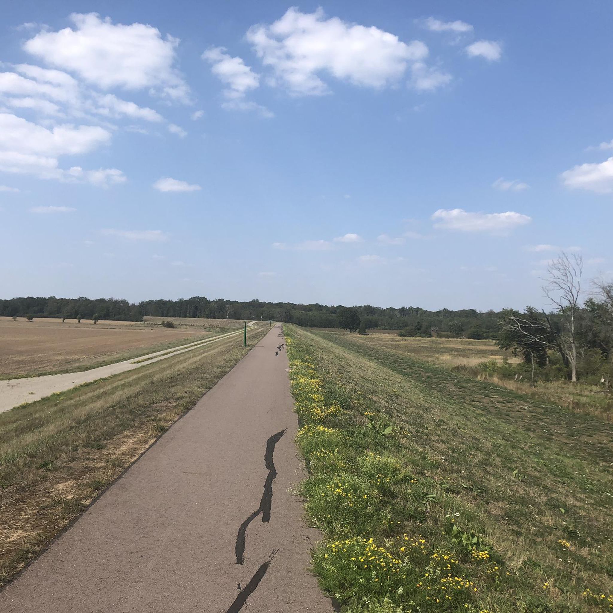
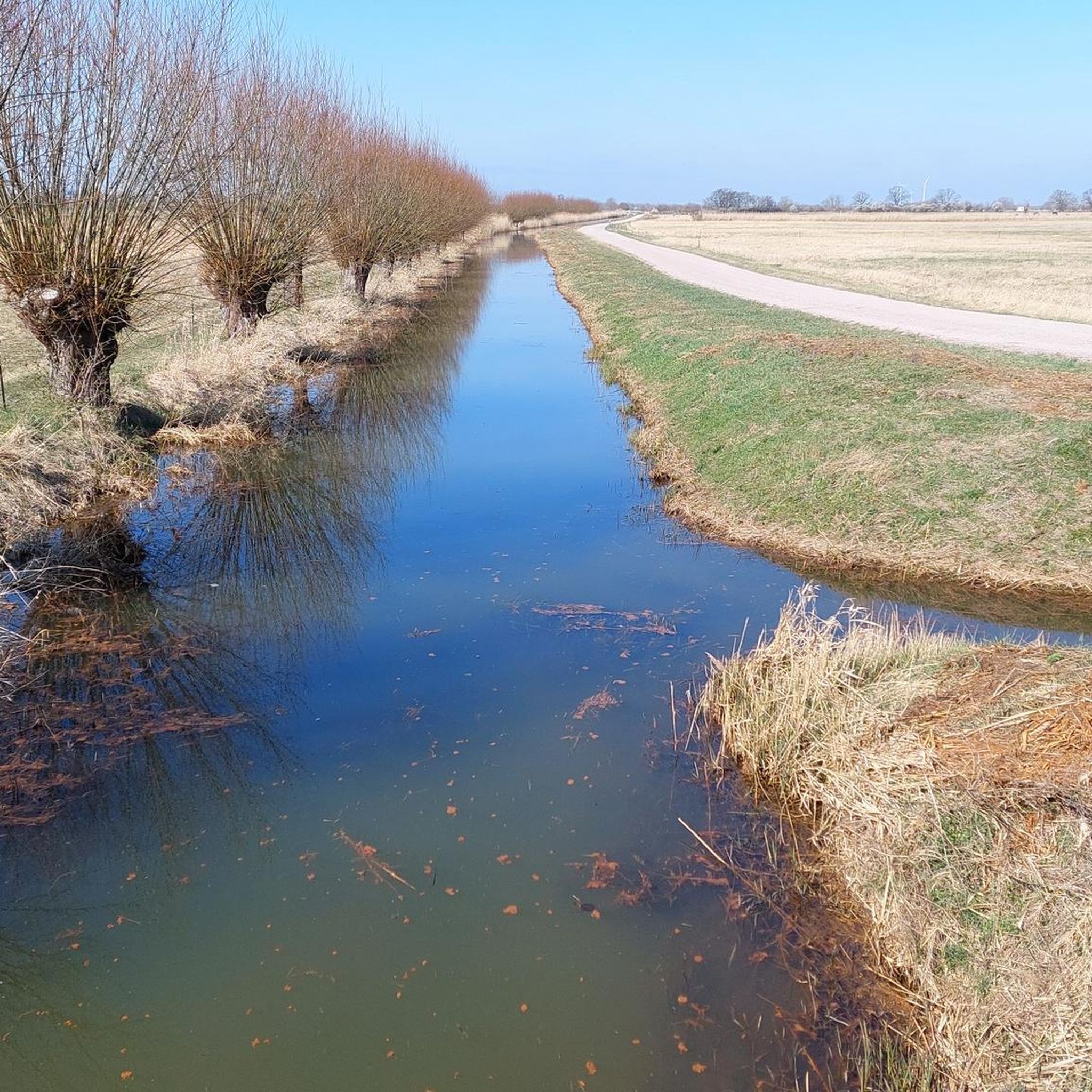
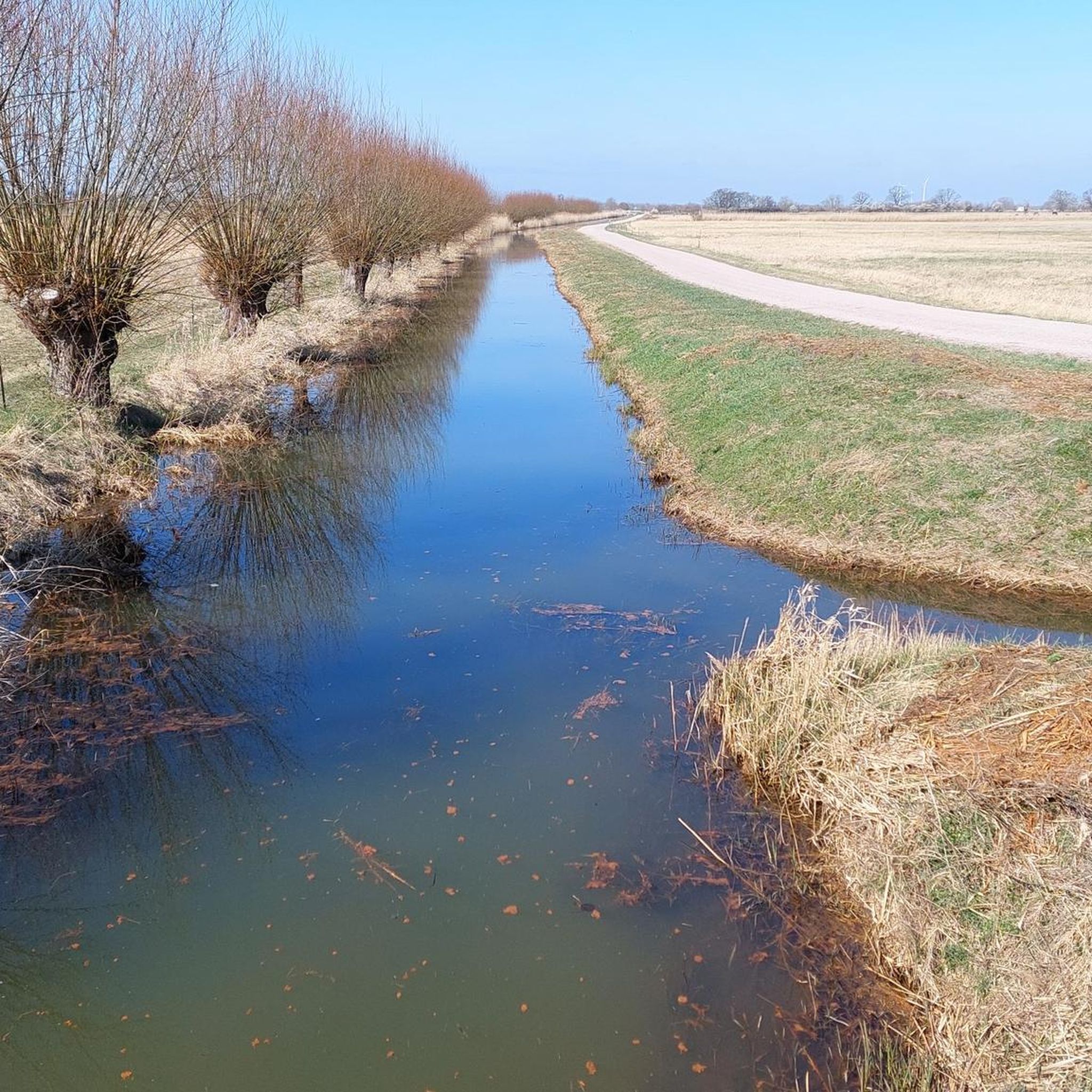
Jogging routes in Wulfener Bruchwiesen traverse a unique wetland nature reserve, characterized by moist meadows and a lowland river plain within the Dessauer Elbetal natural region. This area, part of the larger Wulfener Bruch, features diverse flora including cuckooflower and marsh gentian, alongside reed beds and sedge beds. The Wulfener Bruchwiesen running paths offer a quiet, natural environment, ideal for experiencing its protected status as a nature reserve and biosphere reserve.
Best jogging routes in Wulfener Bruchwiesen
- The most popular…
Last updated: September 30, 2026
5.0
(1)
3
runners
7.44km
00:46
20m
20m
Moderate run. Good fitness required. Mostly paved surfaces. Suitable for all skill levels.
4
runners
5.86km
00:37
30m
30m
Moderate run. Good fitness required. Mostly paved surfaces. Suitable for all skill levels.

4.5
(2)
9
runners
Moderate run. Good fitness required. Mostly paved surfaces. Suitable for all skill levels.
4.0
(1)
5
runners
10.1km
01:03
20m
20m
Moderate run. Good fitness required. Mostly paved surfaces. Suitable for all skill levels.
6
runners
4.19km
00:26
10m
10m
Easy run. Great for any fitness level. Mostly paved surfaces. Suitable for all skill levels.
Get access to more routes and recommendations from other explorers.
Already have an account?
Our route recommendations are based on thousands of hikes, rides, and runs completed by other people on komoot.
Start today with a free account
Your next adventure awaits.
Tips from the Community

Beginner friendly
0
0

The moated castle is now a retirement home. The adjacent castle park is in poor condition.
0
0

The former Akazienteich seaside resort is now a lost place. It used to be very popular. People met here to swim, permanent campers had their pitches, and it was also a popular holiday camp for tents. Unfortunately, the water quality continued to deteriorate. For a time, the area was also used for parties and open-air events with fireworks. The owners then changed frequently. The last renovation of the outdoor area took place after the Elbe floods in 2013. Since then, unfortunately, things have only gone downhill, and the last permanent campers disappeared. Now everything is abandoned and run down.
0
0

A pump house, five deep wells, a transformer station, and the pipelines for drinking water distribution were built. The 58-meter-high tower, which clearly towers above its surroundings, has several parallels to the tower in Bobbau. They are both square, and their exteriors are structured by pilaster strips and cornices. Both towers use a reinforced concrete skeleton construction, with only the spaces between them (compartments) lined with bricks. Both towers also almost completely conceal the elevated tank, which in this case can hold 200 cubic meters of water. The tank floor protrudes only minimally from the eleven by eleven meter floor plan.[4] A significant difference, however, is the number of windows (123 in total) and the number of floors, as the Aken water tower has significantly more visible floors than the Bobbauer one. The Aken tower is also unplastered, has a pyramidal roof with numerous skylights, and dispenses with expressionist details, which are typical of the contemporary towers in Halle and Bobbau. To the outside observer, it appears like an observation tower, as a window gallery is located directly below the roof.[3] The tower can most easily be attributed to the New Objectivity or Neues Bauen movement, which was significantly influenced by the Bauhaus—located in neighboring Dessau since 1925. The water tower is a listed building and is registered in the register of monuments under the number 094 06000.[5] Source: https://de.wikipedia.org/wiki/Wasserturm_Aken
3
0
The first plan for the construction of a water tower in the city on the Elbe dates back to 1905. Further unsuccessful attempts followed in 1914 and 1921, so the population continued to rely on public and private wells. However, in 1924, a hot summer caused several wells to dry up, and testing of the remaining ones revealed poor quality and did not meet hygiene standards. Subsequently, on September 14, 1925, the city council passed a resolution to create a central water supply, which the city council finally approved on September 26, 1926.[2] Thus, between 1927 and 1928, Aken finally received a new water tower, at the same time as other surrounding towns (e.g., the Bobbau water tower from 1926 to 1927, the Gräfenhainichen water tower from 1927 to 1928, and the South (Halle) water tower from 1927 to 1928). Construction began on July 7, 1927, and the water tower was commissioned on February 2, 1928. In 1934, the newly constructed IG Farben housing estate (later the Didier Works) on the eastern edge of Aken ("Amsel-Wald-Siedlung") was connected by pipelines.[2] The "Waterworks II" was built at the Akazienteich (Acacia Pond) between 1958 and 1959, primarily to meet the needs of agriculture (vegetable cultivation). It also helped supply drinking water to Trebbichau (a district of Micheln, Osternienburger Land municipality), Osternienburg, and other surrounding villages. However, the connection to Aken's drinking water network was not established until 1988 and 1989. Additionally, wells were drilled in the city and surrounding area to supply individual units as needed, for example, by the Aken Magnesite Works in 1965 and 1978.[2] From 1992 to 1994, the Aken Public Utilities (Stadtwerke Aken) were formed through the gradual acquisition of these waterworks. However, the individual facilities soon became redundant due to declining drinking water demand, as the Aken-Ost waterworks alone was sufficient to meet this demand (approximately 4,000,000 cubic meters of water in 1989, then reduced to 280,000 cubic meters of water per year). Nevertheless, the decision was made to retain them. Starting in 1994, the water tower was renovated because steel girders had rusted through and the roof allowed pigeons to access the water basin. Since the renovation was completed in 2004, the water tower has served solely as a water reservoir and pressure equalization tank. Since then, the tower has also been used for company conferences and as a radio station for telephone, fire, and police.[3][2] Source: https://de.wikipedia.org/wiki/Wasserturm_Aken
4
0

It is now a steakhouse. But the view of the Elbe is wonderful here too.
1
0
Frequently Asked Questions
What kind of terrain can I expect on the running routes in Wulfener Bruchwiesen?
The running routes in Wulfener Bruchwiesen primarily traverse a unique wetland nature reserve. You'll find moist meadows, lowland river plains, and paths alongside drainage ditches. The area is generally flat, with minimal elevation changes, making it suitable for easy and moderate runs. Some routes may transition into wooded areas like the Diebziger Busch, offering a varied natural experience.
How many running routes are available in Wulfener Bruchwiesen?
There are over 20 running routes available for jogging in Wulfener Bruchwiesen. These include a mix of easy and moderate paths, catering to various fitness levels.
Are there any easy or beginner-friendly jogging paths in the region?
Yes, Wulfener Bruchwiesen offers several easy jogging paths. For instance, the Running loop from Anhalt-Bitterfeld is an easy 4.2 km (2.6 miles) route, perfect for beginners or those looking for a relaxed run through the natural landscape.
What natural features or landmarks can I see while jogging in Wulfener Bruchwiesen?
While jogging, you can experience the diverse flora of the wetland, including cuckooflower, marsh gentian, and various reed beds. You might also spot robust cattle, such as Heck cattle, grazing the meadows. An elevated point near the Neolith pond offers unobstructed views of the pond and its diverse birdlife. The area is also part of the larger 'Flusslandschaft Elbe' biosphere reserve, providing a tranquil natural setting.
Are the jogging trails in Wulfener Bruchwiesen suitable for families?
Yes, the generally flat and well-maintained paths, especially the easier routes, make Wulfener Bruchwiesen suitable for family jogs. The serene natural environment and opportunities for wildlife observation can make for an enjoyable outing for all ages.
Can I bring my dog on the running trails?
Wulfener Bruchwiesen is a nature reserve, and while specific dog regulations can vary, generally, dogs are welcome on trails if kept on a leash to protect the local wildlife and grazing animals. It's always recommended to check local signage for any specific restrictions.
What do other runners enjoy most about jogging in Wulfener Bruchwiesen?
The running routes in Wulfener Bruchwiesen are highly rated by the komoot community, with an average score of 4.6 stars. Runners often praise the quiet, natural environment, the diverse landscapes from moist meadows to wooded areas, and the opportunity to observe wildlife. The well-defined paths and the tranquil atmosphere are frequently highlighted.
Are there circular jogging routes available?
Yes, many of the routes in Wulfener Bruchwiesen are designed as loops, offering convenient circular jogging experiences. For example, the popular Abandoned Seebad Akazienteich loop from Neolith-Teich is a 7.4 km (4.6 miles) circular trail that provides scenic views.
What is the best time of year to go running in Wulfener Bruchwiesen?
The 'colorful blooming, species-rich Wulfener Bruchwiesen' suggests that spring and summer offer vibrant scenery with diverse plant life. However, the wetland nature means conditions can vary. Autumn provides beautiful colors, and winter can offer a unique, quiet experience, though paths might be damp. Always check local weather conditions before heading out.
Is there parking available near the jogging routes?
While specific parking areas are not detailed for every route, the popularity of the area for outdoor activities suggests that designated parking spots are available at common starting points for trails. It's advisable to check the route details on komoot for specific parking information related to your chosen running path.
What is the longest running route in Wulfener Bruchwiesen?
Among the listed routes, the Akener Water Tower loop from Aken is one of the longer options, spanning approximately 9.1 km (5.6 miles). This moderate trail offers a good distance for those looking for a longer run.
What kind of wildlife might I encounter while running?
Wulfener Bruchwiesen is a haven for diverse wildlife. You might spot various bird species such as the blue-throated robin, corncrake, and even white storks. The area is also home to numerous green and tree frogs, and the European fire-bellied toad. Keep an eye out for insects and other small mammals that thrive in this protected wetland environment.
Most popular routes in Wulfener Bruchwiesen

Get inspired with the komoot mobile app


Explore more
Browse the best Running Trails & Routes in other regions.
