The best road cycling routes in Gehlsbachtal
4.9
(11)
113
riders
19
rides
Road cycling in Gehlsbachtal, located in Mecklenburg-Vorpommern, Germany, offers routes through a landscape shaped by the Gehlsbach river and its valley. The region features meadows, fields, and alder-ash forests, with moderate elevation changes along the river's course. While the immediate nature reserve emphasizes natural preservation, the broader Ludwigslust-Parchim district provides a network of paved roads suitable for road cycling. These routes often traverse varied terrain, connecting villages and natural features.
Best road cycling routes in Gehlsbachtal
- The most popular road cycling route is Vietlübber Church – Plau Lift Bridge loop from Quaßliner Moor, a 32.1 miles (51.7 km) trail that takes 2 hours 7 minutes to complete. This moderate route connects historical churches and a notable lift bridge.
- Another top favourite among local road cyclists is Village Church of Klein Pankow loop from Camping am Blanksee, a moderate 30.5 miles (49.1 km) path. This route offers scenic views as it loops from a lakeside camping area.
- Local road cyclists also love the Plau am See Drawbridge – Market Square Plau am See loop from Burow, a 32.7 miles (52.6 km) trail leading through towns and along water features, often completed in about 2 hours 34 minutes.
- Road cycling in Gehlsbachtal is defined by the Gehlsbach river valley, open meadows, and forested sections. The network offers options for both easy and moderate ability levels.
- The routes in Gehlsbachtal are highly rated by the komoot community with an average score of 4.8 stars from more than 5 reviews. More than 100 road cyclists have used komoot to explore Gehlsbachtal's varied terrain.
Last updated: May 16, 2026
23
riders
51.7km
02:08
170m
170m
Moderate road ride. Good fitness required. Mostly well-paved surfaces and easy to ride.
4
riders
49.1km
01:57
110m
110m
Moderate road ride. Great for any fitness level. Some segments of this route may be unpaved and difficult to ride.

Sign up for free
5.0
(1)
4
riders
52.6km
02:35
170m
170m
Moderate road ride. Good fitness required. Some segments of this route may be unpaved and difficult to ride.
2
riders
71.9km
03:11
290m
290m
Moderate road ride. Good fitness required. Some segments of this route may be unpaved and difficult to ride.
4.3
(3)
5
riders
Easy road ride. Great for any fitness level. Mostly well-paved surfaces and easy to ride.
Get access to more routes and recommendations from other explorers.
Sign up for free
Already have an account?
Our route recommendations are based on thousands of hikes, rides, and runs completed by other people on komoot.
Start today with a free account
Your next adventure awaits.
Login or Signup
Popular around Gehlsbachtal
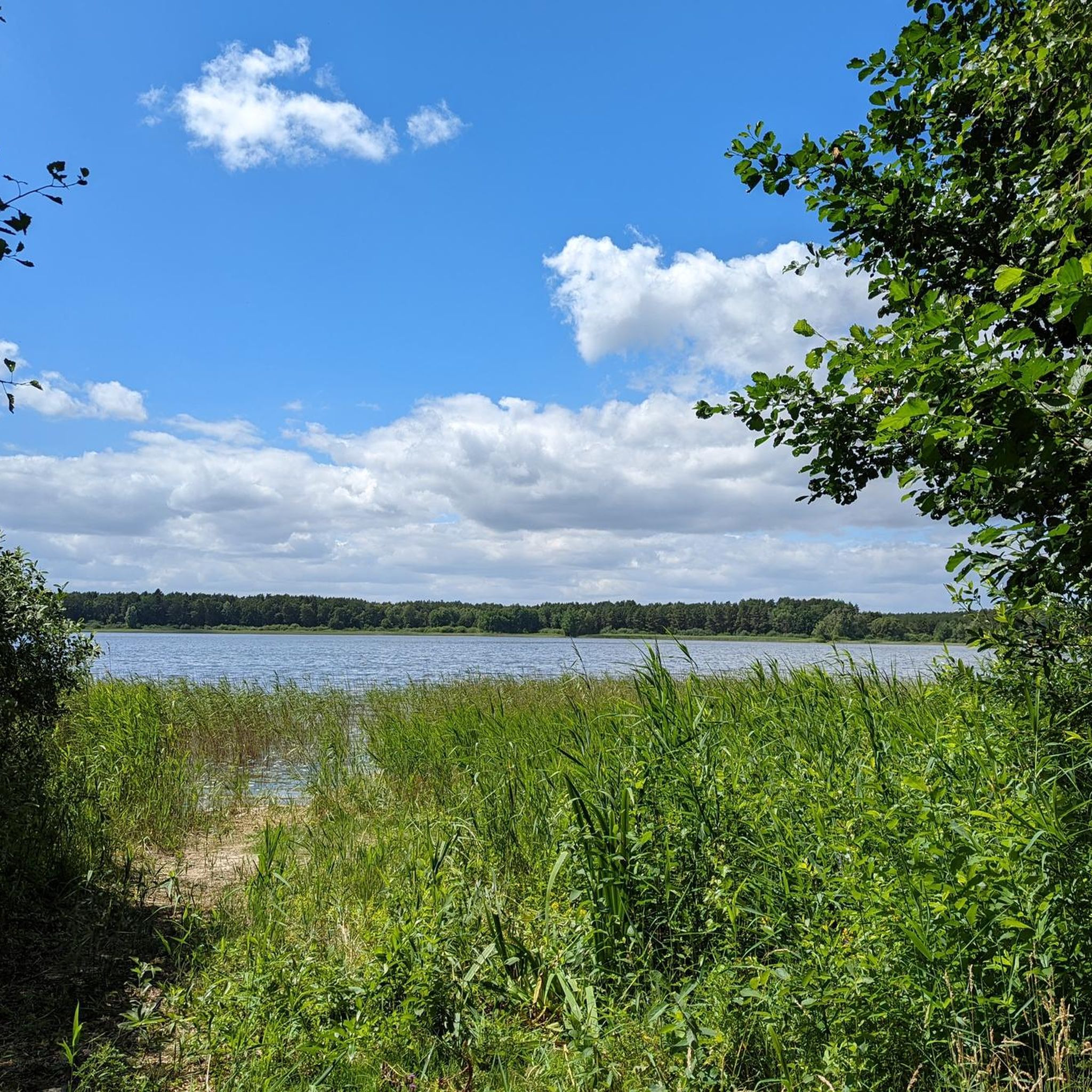
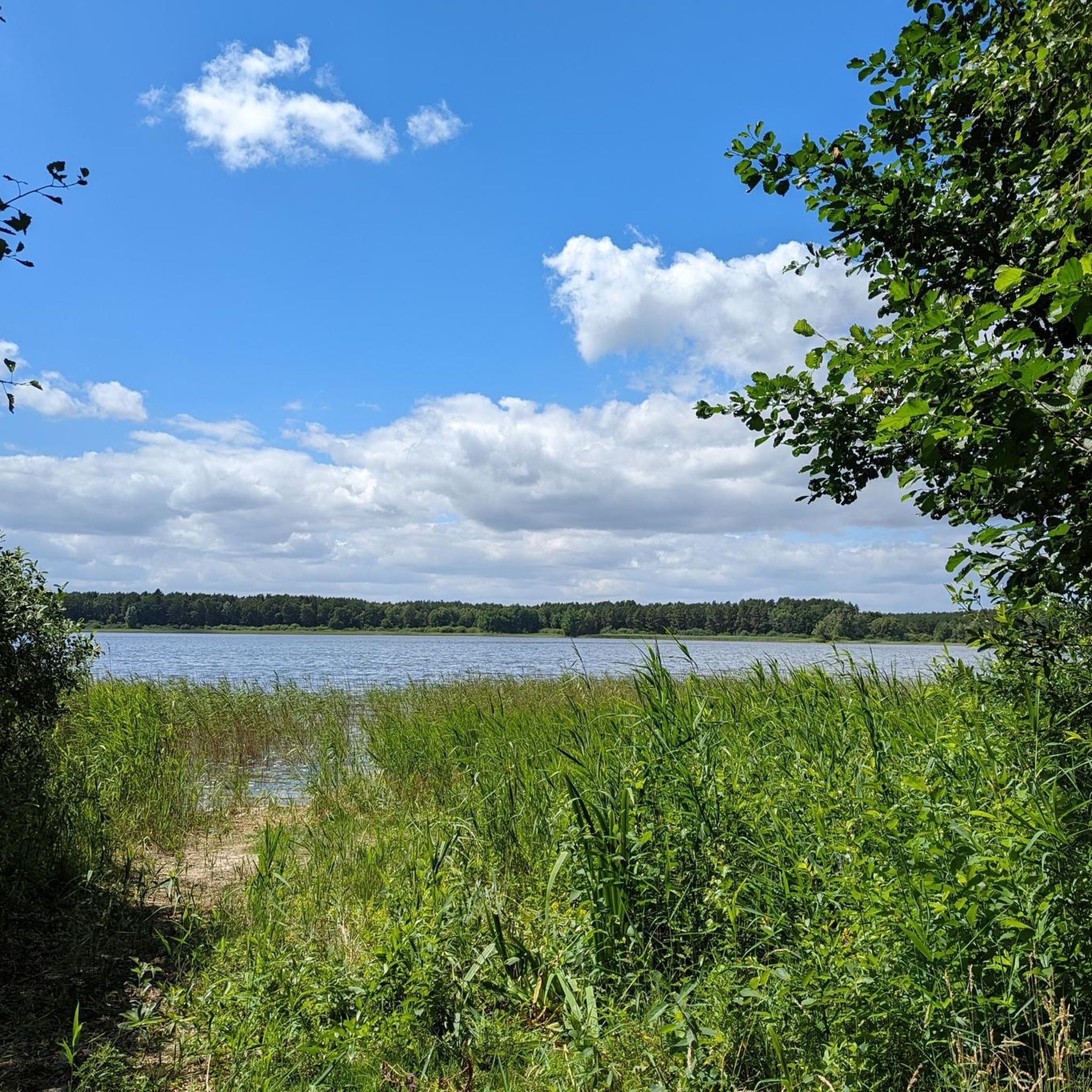
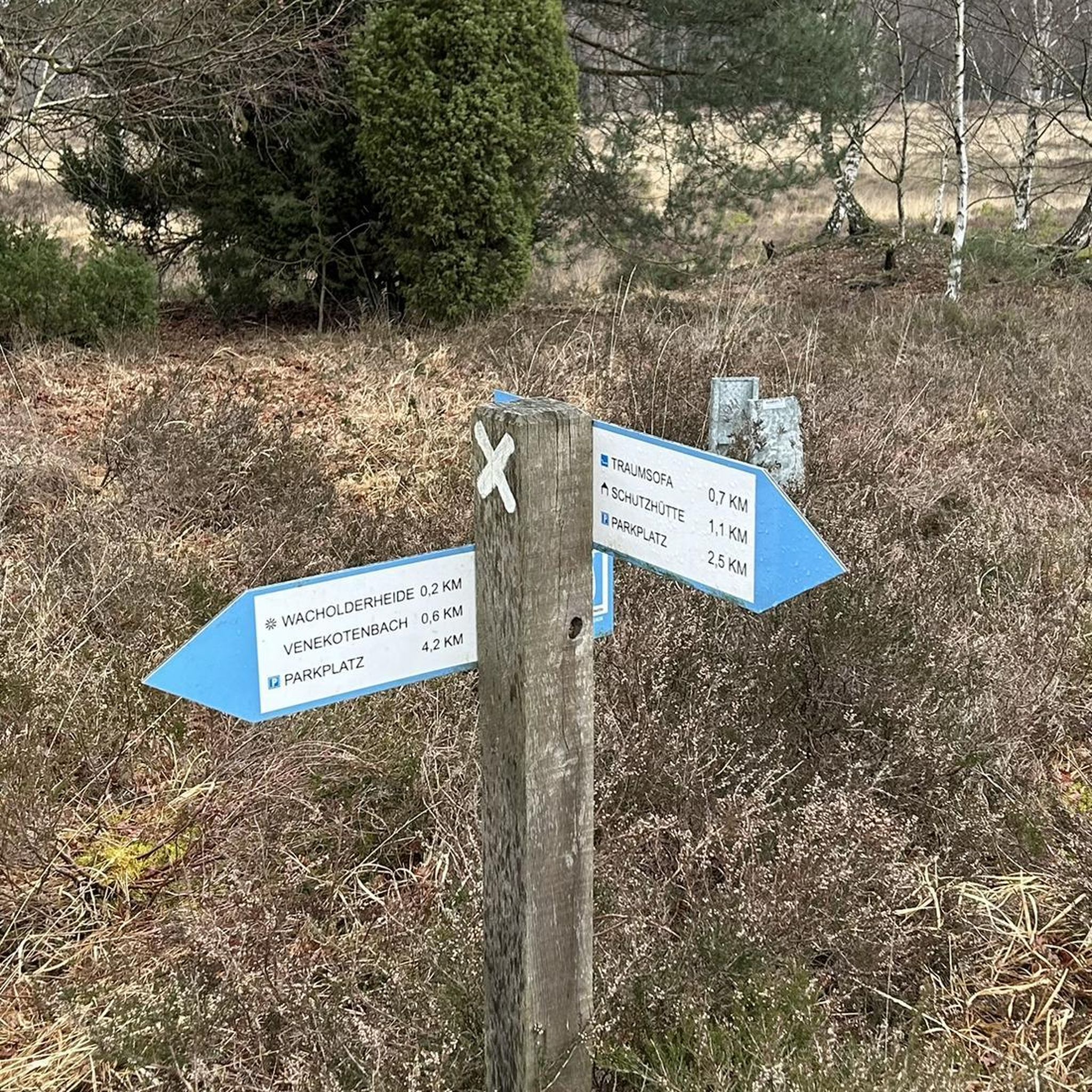
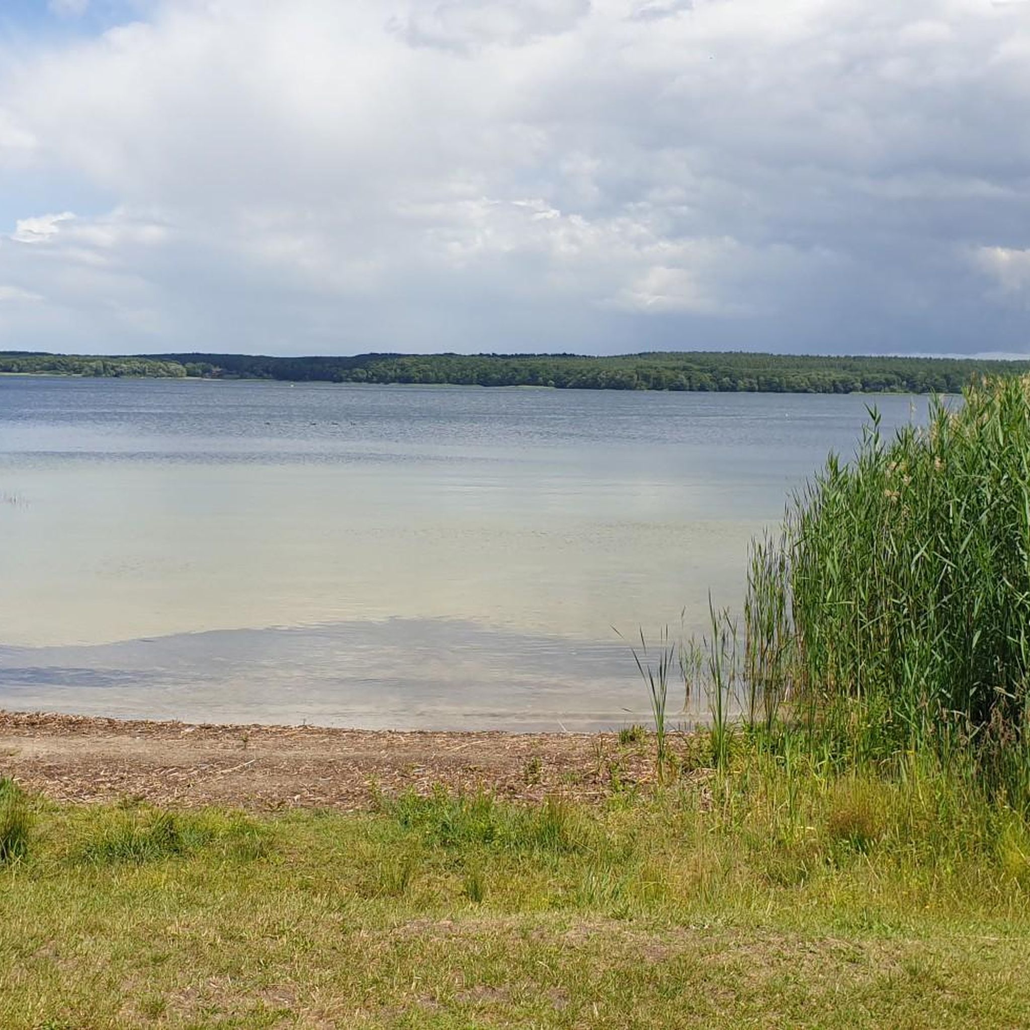
Tips from the Community

The old town is definitely worth a look. The brewery, for example, is extremely attractive.
0
0

Memorial stone for (a) death march – there are also steles along the L9.
0
0
easy to drive route without much traffic
0
0

Lifting platform in Plau am See
0
0


A small town worth seeing that is very idyllic due to its location on the Elde. It has a beautifully restored historic old town, a castle museum, the historic lift bridge, a port worth seeing and much more to offer. It is definitely worth taking a long stroll through the town.
4
0

The promenade at the harbor invites you to linger.😊
0
0

Worth a visit
1
0
Frequently Asked Questions
How many road cycling routes are available in Gehlsbachtal?
There are over 15 road cycling routes available in the Gehlsbachtal region, offering a variety of experiences for different skill levels. You'll find options ranging from easy to moderate difficulty.
What is the terrain like for road cycling in Gehlsbachtal?
The terrain for road cycling in Gehlsbachtal is characterized by the Gehlsbach river valley, featuring open meadows, fields, and sections of alder-ash forests. While the immediate nature reserve focuses on preservation, the broader Ludwigslust-Parchim district offers a network of paved roads. You can expect moderate elevation changes along the river's course, making for varied and engaging rides.
Are there easy road cycling routes suitable for beginners in Gehlsbachtal?
Yes, Gehlsbachtal offers several easy road cycling routes perfect for beginners or those seeking a more relaxed ride. For example, the Village Church of Siggelkow – Village Church Porep loop from Sabelsee is an easy 33 km route with minimal elevation gain, ideal for a gentle introduction to the area's cycling.
What kind of natural features can I expect to see while cycling in Gehlsbachtal?
While cycling in the Gehlsbachtal region, you'll encounter diverse natural features. The Gehlsbach river meanders through meadows and fields, leading into a nature reserve with alder-ash forests and species-rich riparian vegetation. The valley itself features steep edges, offering scenic views. This environment is home to various endangered animals and plants, including the fire salamander, making it a great spot for nature observation.
Are there any circular road cycling routes in the Gehlsbachtal area?
Yes, many road cycling routes in Gehlsbachtal are designed as loops, allowing you to start and end at the same point. Popular examples include the Vietlübber Church – Plau Lift Bridge loop from Quaßliner Moor and the Village Church of Klein Pankow loop from Camping am Blanksee, both offering scenic circular tours.
What are the typical distances of road cycling routes in Gehlsbachtal?
Road cycling routes in Gehlsbachtal vary in length, with many popular options ranging from approximately 30 to 70 kilometers. For instance, the Plau am See Drawbridge – Market Square Plau am See loop from Burow is about 53 km, while the St. Mary's Church Parchim – Parchim Old Town loop from Burow extends to around 72 km.
Is Gehlsbachtal suitable for family-friendly road cycling?
The broader Ludwigslust-Parchim district, encompassing Gehlsbachtal, offers a network of cycling routes that can be suitable for families, especially those with low gradients and well-maintained paved surfaces. Look for the 'easy' rated routes, which typically have less elevation gain and shorter distances, making them more manageable for family outings.
Where can I find parking for road cycling in Gehlsbachtal?
While specific parking facilities for cyclists within the immediate Gehlsbachtal nature reserve are not prominently highlighted, you can typically find parking in nearby towns and villages that serve as starting points for routes. For example, routes often begin near locations like Quaßliner Moor, Camping am Blanksee, or Burow, where parking options may be available.
What is the best time of year for road cycling in Gehlsbachtal?
The best time for road cycling in Gehlsbachtal is generally from spring through early autumn. During these seasons, the weather is milder, and the natural landscape is at its most vibrant. River routes in Germany are known for being pleasant during these times, offering comfortable conditions for leisure cyclists.
Are there places to eat or stay near the cycling routes in Gehlsbachtal?
While Gehlsbachtal itself is a nature reserve, the surrounding Ludwigslust-Parchim district and nearby towns like Parchim and Plau am See offer various amenities. You can find cafes, pubs, restaurants, and accommodation options in these areas, providing convenient stops for refreshments or overnight stays before or after your rides.
What do other cyclists say about road cycling in Gehlsbachtal?
The road cycling routes in Gehlsbachtal are highly rated by the komoot community, with an average score of 4.8 stars from more than 5 reviews. Cyclists often praise the varied terrain, which includes open meadows and forested sections, and the pleasant experience of riding along the Gehlsbach river valley.
What are the elevation changes like on Gehlsbachtal's road cycling routes?
The road cycling routes in Gehlsbachtal feature moderate elevation changes, particularly along the Gehlsbach river's course. While not mountainous, you can expect gentle climbs and descents that add variety to your ride. For instance, routes like the Vietlübber Church – Plau Lift Bridge loop have around 170 meters of elevation gain, offering a good balance for most road cyclists.
Most popular routes in Gehlsbachtal

Get inspired with the komoot mobile app


Explore more
Browse the best Road cycling routes in other regions.
