The best walks and hikes around Höchstadt an der Aisch
4.5
(504)
2,576
hikers
312
hikes
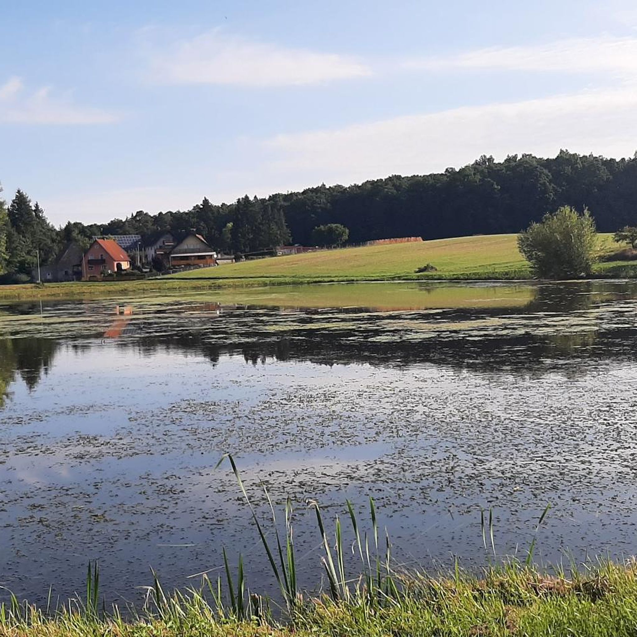
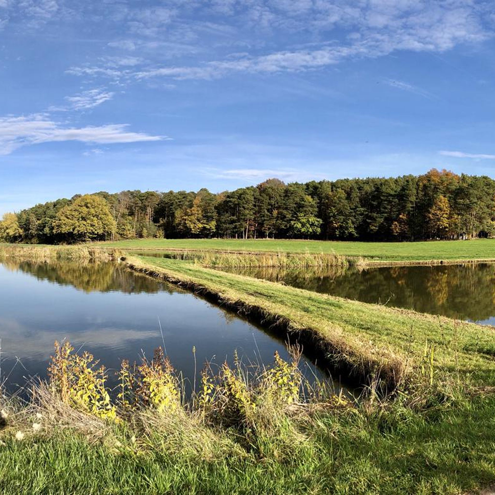
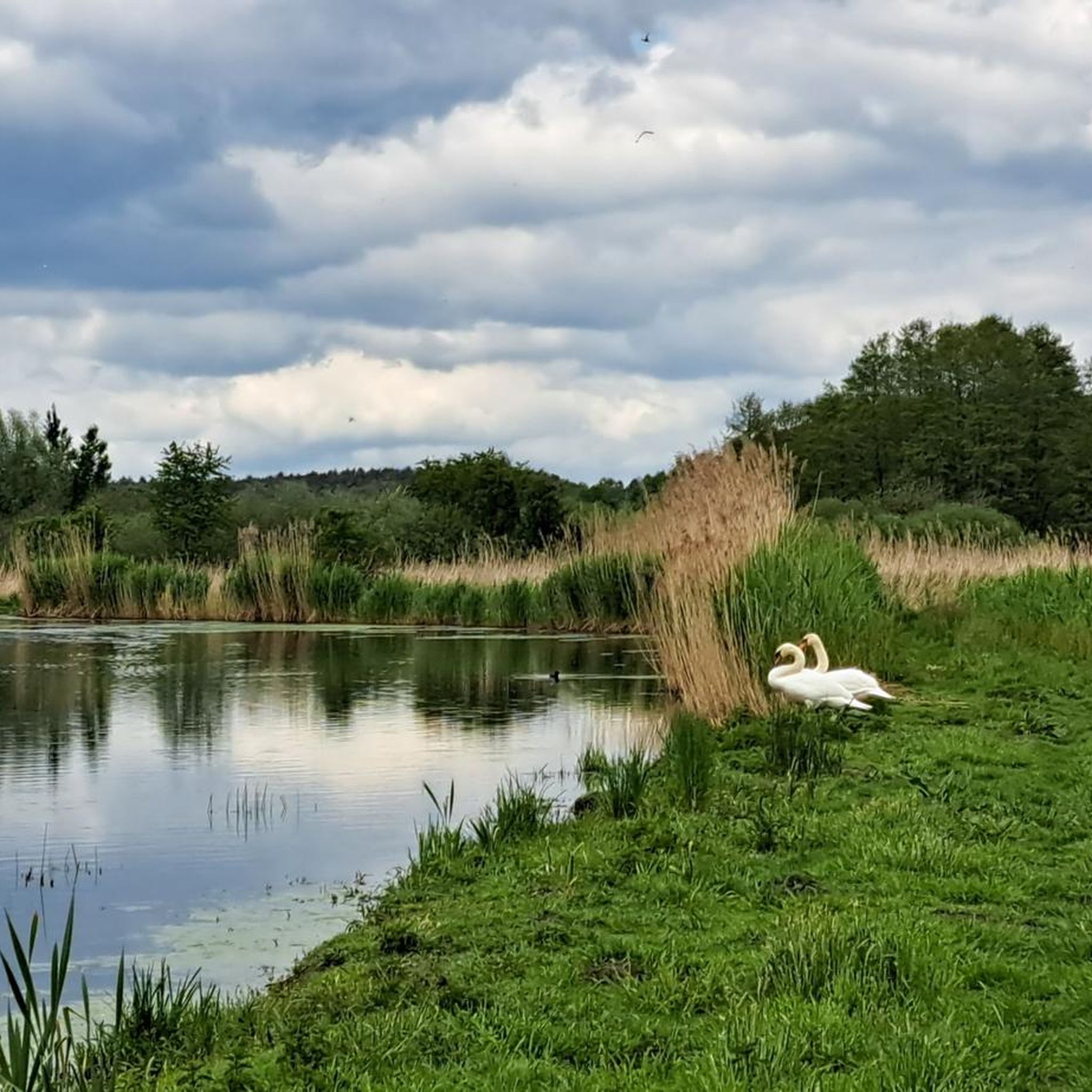
Hiking around Höchstadt an der Aisch offers routes through a landscape characterized by numerous ponds (Weiher), gentle river valleys, and surrounding woodlands. The region is part of the Franconian Lakeland, providing flat to gently rolling terrain suitable for various activity levels. These hiking trails near Höchstadt an der Aisch often follow the Aisch river and connect small villages with natural areas. The elevation changes are generally minimal, making the area accessible for relaxed walks.
Best hiking trails around Höchstadt an…
Last updated: September 30, 2026
4.6
(89)
303
hikers
Moderate hike. Good fitness required. Easily-accessible paths. Suitable for all skill levels.
4.7
(27)
89
hikers
Moderate hike. Good fitness required. Easily-accessible paths. Suitable for all skill levels.

4.7
(6)
76
hikers
Easy hike. Great for any fitness level. Easily-accessible paths. Suitable for all skill levels.
4.2
(13)
75
hikers
Moderate hike. Good fitness required. Easily-accessible paths. Suitable for all skill levels.
4.5
(8)
71
hikers
2.53km
00:40
20m
20m
Easy hike. Great for any fitness level. Easily-accessible paths. Suitable for all skill levels.
Get access to more routes and recommendations from other explorers.
Already have an account?
Our route recommendations are based on thousands of hikes, rides, and runs completed by other people on komoot.
Start today with a free account
Your next adventure awaits.
Popular around Höchstadt an der Aisch
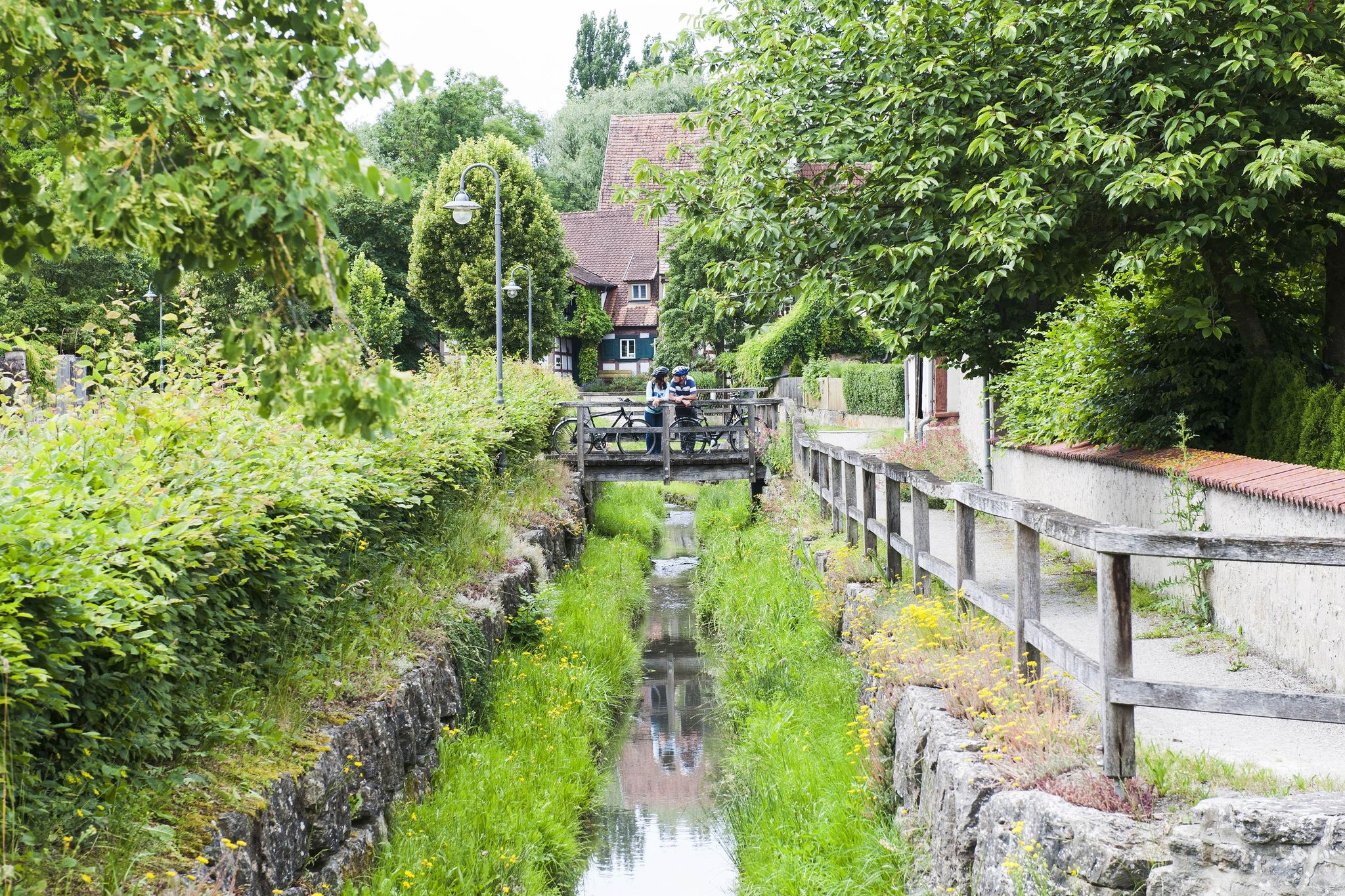
Fun, nature and culture – discover Franconia by bike
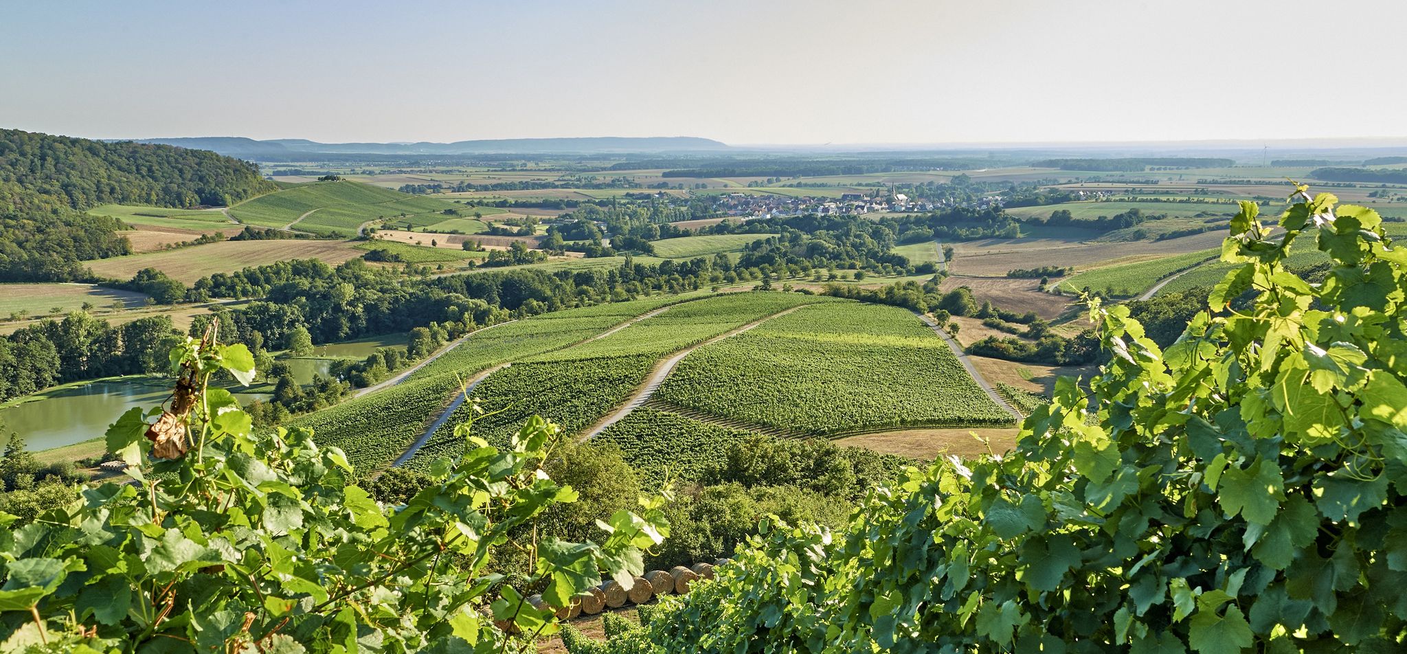
Vineyards, forests and ponds – cycling in the Steigerwald in Germany
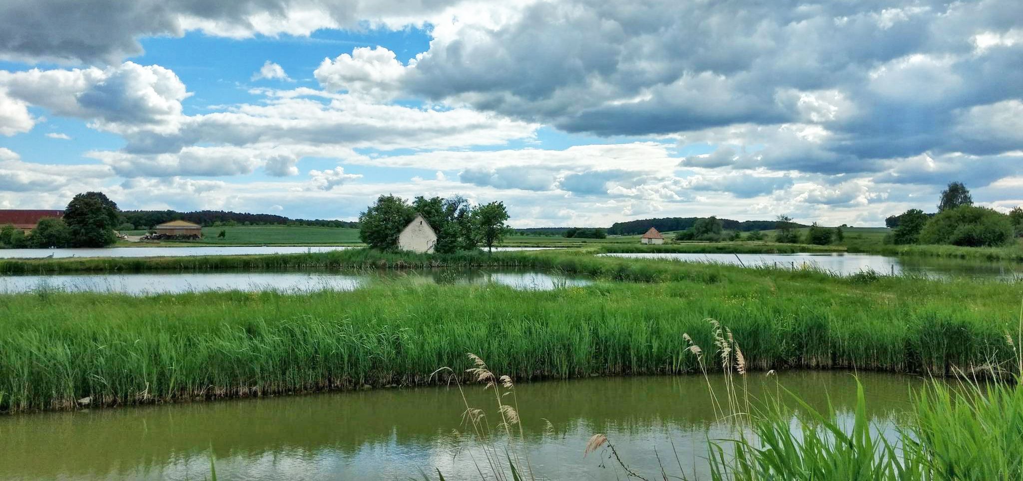
On the Aisch valley cycle path 3 days through Franconia
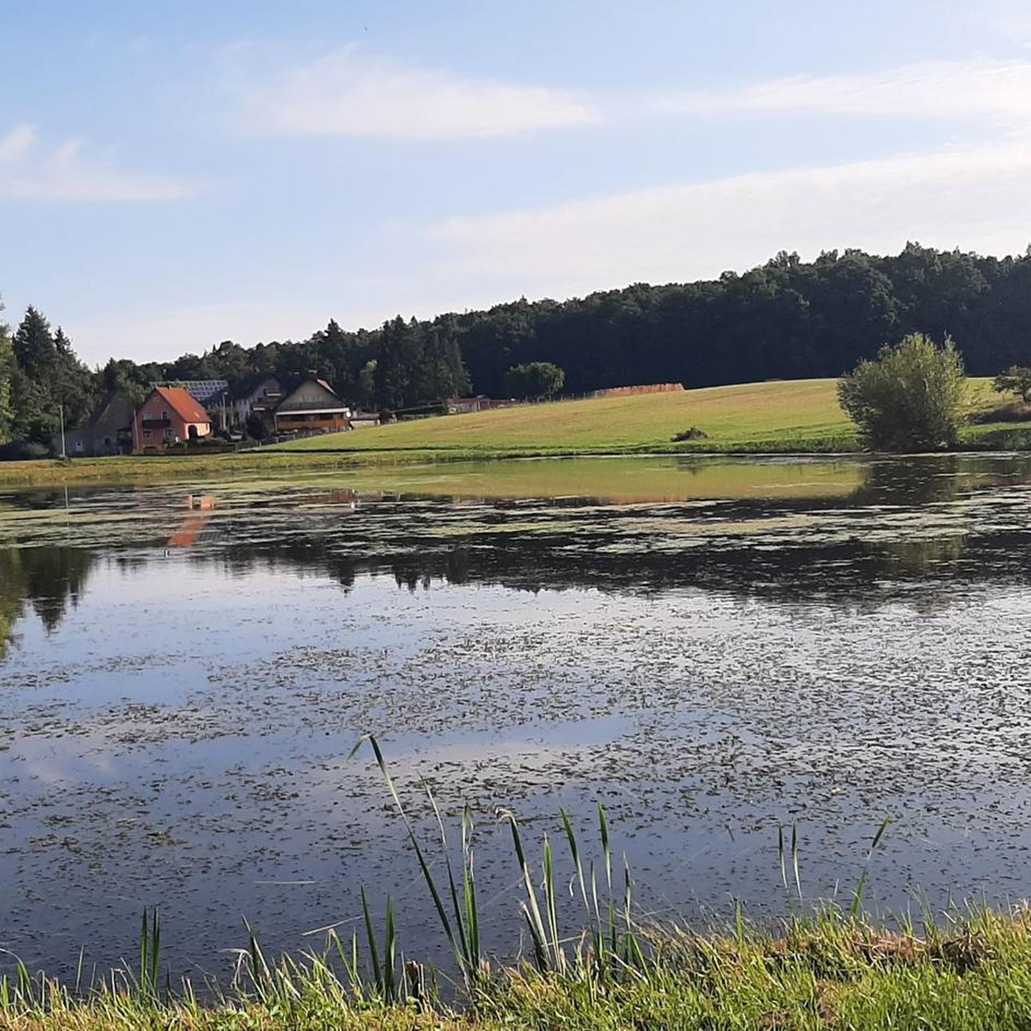
Cycling around Höchstadt an der Aisch
Road Cycling Routes around Höchstadt an der Aisch
Running Trails around Höchstadt an der Aisch
MTB Trails around Höchstadt an der Aisch

Gravel biking around Höchstadt an der Aisch
Other adventures around Höchstadt an der Aisch


Tips from the Community

The Adelsweiher is located shortly before Mohrhof.
0
0
The Drittelweiher are part of the "bird sanctuary Weihergebiet bei Mohrhof". They cover an area of 128.87 ha and were placed under nature protection in 1982. It is an extensive pond complex with about 100 ponds.
0
0
A beautiful, slightly gravelly, but easily passable path leads from Mechelwind to Oberlindach through the Pfaffenweiher.
0
0
The Drittelweiher are part of the "Bird Sanctuary Weihergebiet bei Mohrhof". It is an area of 128.87 ha and was placed under nature protection in 1982. It is an extensive pond complex with about 100 ponds.
0
0

Very beautiful area with a wide view and wind.
0
0

Depending on the season and time of day, it is a great stay here
0
0
Great path between the ponds.
0
0

Frequently Asked Questions
What kind of landscape can I expect when hiking around Höchstadt an der Aisch?
The region is characterized by the Franconian Lakeland, featuring numerous ponds (Weiher), gentle river valleys along the Aisch, and surrounding woodlands. The terrain is generally flat to gently rolling, making it suitable for relaxed walks and moderate hikes.
How many hiking trails are available in Höchstadt an der Aisch?
There are over 300 hiking routes around Höchstadt an der Aisch. The majority, about 207, are classified as easy, with 99 moderate trails and a few more challenging options for experienced hikers.
Are there easy hikes suitable for beginners or casual walkers?
Yes, Höchstadt an der Aisch offers many easy hikes. Over 200 routes are classified as easy, providing gentle paths through the pond landscape and along the river. An example is the Bikepark Höchstadt – Höchstädt Play and Rest Island loop, which is 4.4 miles (7.0 km) and takes about 1 hour 54 minutes.
Can I find longer hiking routes in the area?
While many routes are shorter, there are nearly 100 moderate trails that offer longer distances. For instance, the Kleiner Drittelweiher – Drittelweiher loop from Vogelfreistätte Weihergebiet bei Mohrhof covers 5.6 miles (9.1 km) and takes around 2 hours 19 minutes, exploring the bird sanctuary's pond landscape.
Are there circular walks available around Höchstadt an der Aisch?
Yes, many of the trails in the region are designed as circular walks, allowing you to start and end at the same point. Examples include the Mohrweiher – Spiegelweiher loop and the Old Aisch Bridge, Höchstadt – Höchstadt an der Aisch Castle loop.
What sights and attractions can I explore near the hiking trails?
Beyond the natural beauty, you can explore historical sites. Höchstadt an der Aisch is home to its own Höchstadt an der Aisch Castle. Other nearby castles include Weissenstein Castle, Pommersfelden, and Neuhaus Moated Castle. The region also features parts of the Cycle Path Along the Main-Danube Canal.
Are the hiking trails in Höchstadt an der Aisch suitable for families with children?
Yes, the generally flat to gently rolling terrain and numerous easy routes make the area very family-friendly. Many trails pass by ponds and through forests, offering pleasant and safe environments for children to explore. Look for shorter, easy circular routes for the best family experience.
Can I bring my dog on the hiking trails?
Most hiking trails in Höchstadt an der Aisch are dog-friendly, allowing you to enjoy the natural surroundings with your canine companion. However, always keep your dog on a leash, especially in nature reserves like the Vogelfreistätte Weihergebiet bei Mohrhof, and be mindful of local regulations and other hikers.
Is public transport available to access trailheads?
While some trailheads, particularly those starting directly in Höchstadt an der Aisch, might be accessible by local bus services, public transport options can be limited for more remote starting points. It's advisable to check local bus schedules in advance or consider driving to trailheads.
What do other hikers enjoy most about hiking in Höchstadt an der Aisch?
The area is highly rated by the komoot community, with an average score of 4.5 stars from over 400 reviews. Hikers often praise the tranquil pond landscapes, the peaceful river paths, and the well-maintained trails that offer a relaxing outdoor experience.
Are there trails with cafes or places to stop for refreshments?
Many routes pass through or near small villages where you can find traditional Franconian inns or cafes. In Höchstadt an der Aisch itself, there are various options for refreshments before or after your hike. Planning your route with komoot can help you identify such stops along the way.
What is the best season for hiking in Höchstadt an der Aisch?
The region is beautiful year-round. Spring brings blooming nature, while summer offers lush greenery and pleasant temperatures for early morning or late afternoon hikes. Autumn is particularly scenic with colorful foliage around the ponds and forests. Winter hiking is also possible on cleared paths, offering a serene experience.
Most popular routes around Höchstadt an der Aisch
Most popular attractions around Höchstadt an der Aisch

Get inspired with the komoot mobile app


Explore more
Browse the best Hikes in other regions.
