The best walks and hikes in Pr Travný
4.4
(68)
2,159
hikers
10
hikes
Hiking in Pr Travný, located within the Jeseníky Mountains, offers diverse landscapes centered around Praděd, the highest peak in the Hrubý Jeseník range. The region is characterized by the Praděd National Nature Reserve, featuring treeless, rocky terrain at higher altitudes and preserved forest stands at lower elevations. Hikers can explore areas with unique mountain spruce stands, alpine communities, and glacial kettle holes. This varied terrain provides a range of experiences from challenging mountain ascents to paths through dense woodlands.
Best…
Last updated: November 15, 2026
5.0
(6)
133
hikers
16.5km
05:47
890m
890m
Hard hike. Very good fitness required. Easily walkable paths.
5
hikers
Hard hike. Very good fitness required. Easily walkable paths.

51
hikers
15.9km
04:52
520m
520m
Moderate hike. Good fitness required. Easily walkable paths.
4.0
(1)
11
hikers
13.0km
04:00
440m
440m
Moderate hike. Good fitness required. Easily walkable paths.
4.9
(24)
544
hikers
12.0km
04:19
720m
720m
Moderate hike. Good fitness required. Mostly walkable paths. Sure-footedness required.
Get access to more routes and recommendations from other explorers.
Already have an account?
Our route recommendations are based on thousands of hikes, rides, and runs completed by other people on komoot.
Start today with a free account
Your next adventure awaits.
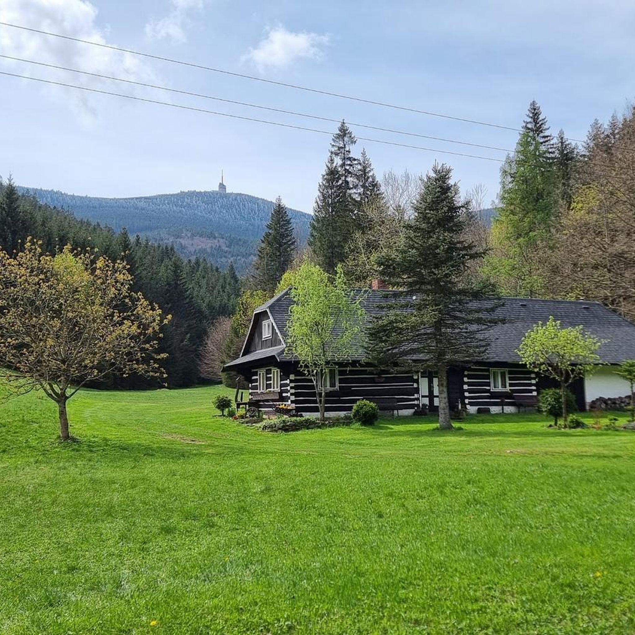
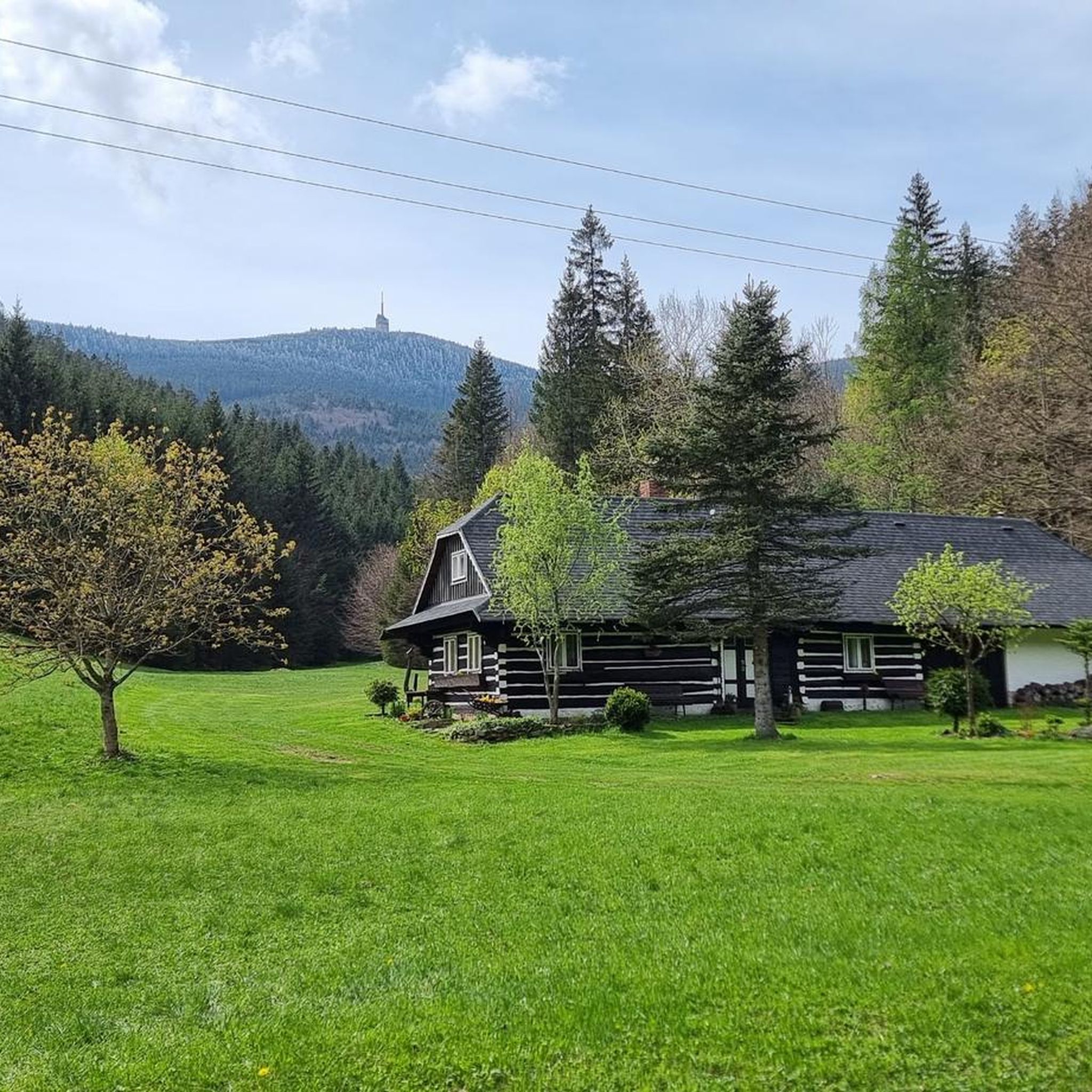
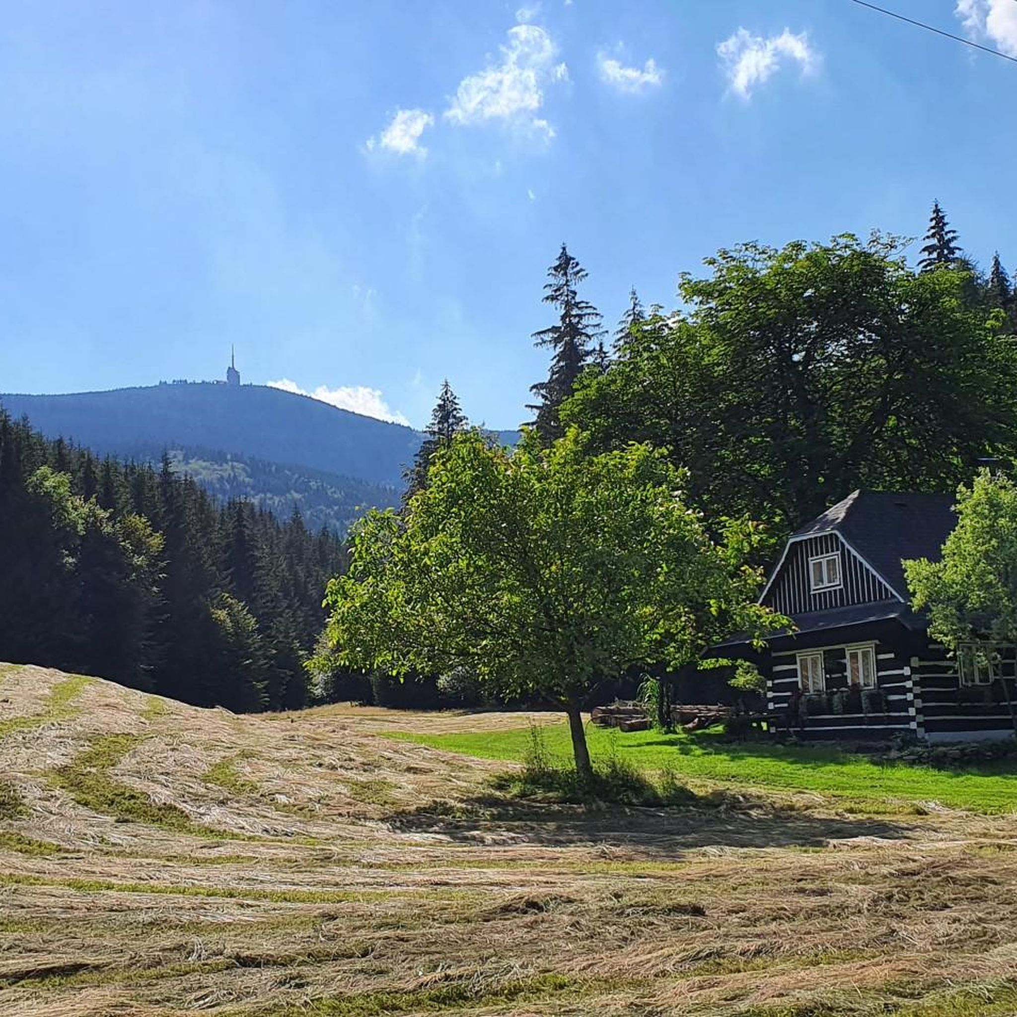

Tips from the Community

A stylish wooden mountain cottage with a lookout tower, belonging to the Club of Czech Tourists, is located in the protected landscape area of Beskydy at an altitude of 706 m. Its location is an ideal starting point for year-round hiking and other sports activities. Next to the cottage, there is also a wooden church from 1640.
3
0
The summit of Lysá hora (1324 m a.s.l.) is located in the Moravian-Silesian Beskids mountain range. Lysá hora (1324 m a.s.l.) is the highest peak of the Moravian-Silesian Beskids and the third most prominent Czech mountain.
2
0
Lysá hora (German Kahlberg; 1324 m a.s.l., previously reported height 1323 m a.s.l.) is the highest mountain in the Moravian-Silesian Beskids and Těšínsko region. It lies on the border of the municipalities of Krásná, Malenovice, Ostravice, and Staré Hamry. This peak was also the highest point of the Protectorate of Bohemia and Moravia between 1939–1945 (although it lies in Silesia). On the bare (lysá) summit, which is accessible by a road from Krásná, there is a characteristic telecommunication transmitter, a meteorological station, and several mountain huts.
2
0
Moravskoslezské Beskydy (Slovak: Moravsko-sliezske Beskydy; Polish: Beskid Morawsko-Śląski), in Czech usage commonly just Beskydy, are a geomorphological unit and mountain range located in the almost easternmost part of the Czech Republic near the border with Slovakia (a small extension into the Čadca district). Almost their entire territory is covered by the Beskydy Protected Landscape Area with an area of 1160 km², which however also extends into the Hostýnsko-vsetínská highlands and the Javorníky.
3
0

A stone mound was established in 1946 in memory of five Ostrava scouts who were shot by the Gestapo in Cieszyn, Poland, in April 1945. Meetings at Ivančen are held regularly on April 24. “This cross was erected on October 6, 1946, by the council of the 30th Junák Squad in Ostrava in memory of the scout leader Vládi Čermák and rowers Vládi Pach, Otto Klein, Milan Rotter and Quido Němec, who were shot by the Gestapo on April 24, 1945 in Cieszyn, Poland, on the feast of St. George, the patron saint of scouts around the world, at the end of the war. Place a stone on their mound.” https://www.okobeskyd.cz/?p=10067
0
0

A nice viewpoint on Lysa, a crossroads of several trails
0
0
it's worth stopping on the way to the top
0
0
a fork in the trail on the way to Lysa
0
0
Frequently Asked Questions
What kind of terrain and landscapes can I expect when hiking in Pr Travný?
Pr Travný, centered around Praděd peak, offers a diverse landscape. At higher altitudes (above 1,350 meters), you'll find treeless, bare, and rocky terrain resembling northern tundra. Lower elevations feature preserved forest stands, including unique mountain spruce forests, especially in the Bílá Opava River Valley. The area is part of the Praděd National Nature Reserve, known for its rare alpine communities and glacial kettle holes.
Are there easy hiking options suitable for beginners or families in Pr Travný?
Yes, Pr Travný offers easy ascents suitable for families and beginners. A popular and relatively gentle route is the 4 km walk along an asphalt road from Ovčárna to the Praděd summit. This path is accessible by shuttle bus from areas like Hvězda parking lot or Karlova Studánka, providing a pleasant walk with minimal difficulty.
What are the main attractions or viewpoints in Pr Travný?
The most prominent attraction is the 162-meter tall television transmitter tower on the summit of Praděd. It houses a hotel, restaurant, and an observation platform offering magnificent panoramic views across the Jeseníky Mountains. On clear days, you can even see distant peaks like Lysá hora or Sněžka. The Praděd National Nature Reserve itself, with its unique ecosystems and the picturesque Bílá Opava River Valley, also serves as a major natural attraction.
When is the best time to hike in Pr Travný?
The best time for hiking in Pr Travný is typically from late spring through early autumn (May to October) when the weather is milder and trails are clear of snow. However, the area transforms in winter, becoming a popular destination for cross-country and downhill skiing, so winter hiking is also possible for those equipped for snowy conditions.
Can I hike with my dog in Pr Travný?
While the Praděd National Nature Reserve is a protected area, dogs are generally allowed on marked trails, usually on a leash. It's always recommended to check specific regulations for individual trails or protected zones within the reserve to ensure compliance and protect the local wildlife.
How can I get to the hiking trails in Pr Travný, and is there parking available?
Access to Pr Travný's hiking trails often involves reaching key starting points like Ovčárna, Karlova Studánka, or Malá Morávka. Parking is available at locations such as the Hvězda parking lot near Karlova Studánka. From some parking areas, shuttle buses operate to higher points like Ovčárna, making access to the Praděd summit easier.
Are there challenging routes for experienced hikers in Pr Travný?
Yes, Pr Travný offers several challenging routes. For instance, the educational trail via Bílá Opava provides a demanding experience. Another option is the 12 km hike from Malá Morávka, which offers beautiful views. More difficult loops include those around Petrovy Kameny and Vysoká Hole Summit. For a significant challenge, consider the Malchor Trail Junction – Lysá Hora Summit loop from Krásná, a 16.5 km trail with substantial elevation changes.
What do other hikers enjoy most about hiking in Pr Travný?
The area is highly rated by the komoot community, with an average score of 4.5 stars from over 50 reviews. Hikers often praise the expansive panoramic views from Praděd summit, the unique 'northern tundra' feel at higher altitudes, and the diverse forest ecosystems. The variety of trails, from gentle walks to challenging ascents, is also frequently highlighted.
Are there circular hiking routes available in Pr Travný?
Yes, there are several circular hiking routes in Pr Travný. For example, the Lysá Hora loop from Krásná, Vyšní Mohelnice, Zlatník is a challenging 18.9 km path that navigates through mountain terrain. Another option is the Church of St. Anthony of Padua – Malá Prašivá Hut loop from Pražmo, a moderate 15.9 km trail through forested areas.
What unique natural features can I explore in the Praděd National Nature Reserve?
The Praděd National Nature Reserve is renowned for its unique natural features. You can explore areas with rare alpine communities, glacial kettle holes, and the distinctive 'northern tundra' landscape at higher elevations. The Bílá Opava River Valley is particularly notable for its unique mountain spruce stands, and Tabulové rocks on the northwest slopes are known for various mosses, lichens, and other rare plants. For more information on the reserve, you can visit ok-tourism.cz.
Are there places to eat or stay near the hiking trails in Pr Travný?
Yes, the Praděd summit television tower itself houses a hotel and restaurant, providing convenient options right at the top. Additionally, nearby towns and villages such as Karlova Studánka and Malá Morávka offer various accommodation and dining facilities for hikers.
How many hiking trails are available in Pr Travný?
Pr Travný offers a good selection of hiking trails. There are over 10 routes available, catering to various difficulty levels, including easy, moderate, and difficult options.

Get inspired with the komoot mobile app


Explore more
Browse the best Hikes in other regions.
