Attractions and Places To See in Park Krajobrazowy Beskidu Śląskiego - Top 20
Best attractions and places to see in Park Krajobrazowy Beskidu Śląskiego. This protected area in southern Poland spans over 38,000 hectares, characterized by dense forests, rolling hills, and picturesque villages. The park is known for its diverse natural beauty, including prominent peaks like Skrzyczne and Barania Góra, which offer expansive views. It serves as the source of the Vistula River and features unique flysch caves and protected forest ecosystems.
Best attractions and places to see in Park Krajobrazowy Beskidu Śląskiego
…Last updated: October 9, 2026
Skrzyczne Peak (1,257 m)
Highlight • Summit
Translated by Google •
Tip by

Malinowska Rock
Highlight • Natural Monument
Translated by Google •
Tip by

Sign up now to discover places like this
Get recommendations on the best single tracks, peaks, & plenty of other exciting outdoor places.
Viewing tower on Barania Góra
Highlight • Viewpoint
Translated by Google •
Tip by

Klimczok Mountain Hut (PTTK Klimczok Shelter)
Highlight • Mountain Hut
Translated by Google •
Tip by
Viewing tower on Wielka Czantoria
Highlight • Viewpoint
Showing Translation
Tip by
Sign up for free to discover even more attractions in Park Krajobrazowy Beskidu Śląskiego.
Already have an account?
Start today with a free account
Your next adventure awaits.
Popular around Park Krajobrazowy Beskidu Śląskiego

Main Beskids Trail — the longest Polish Mountain Trail
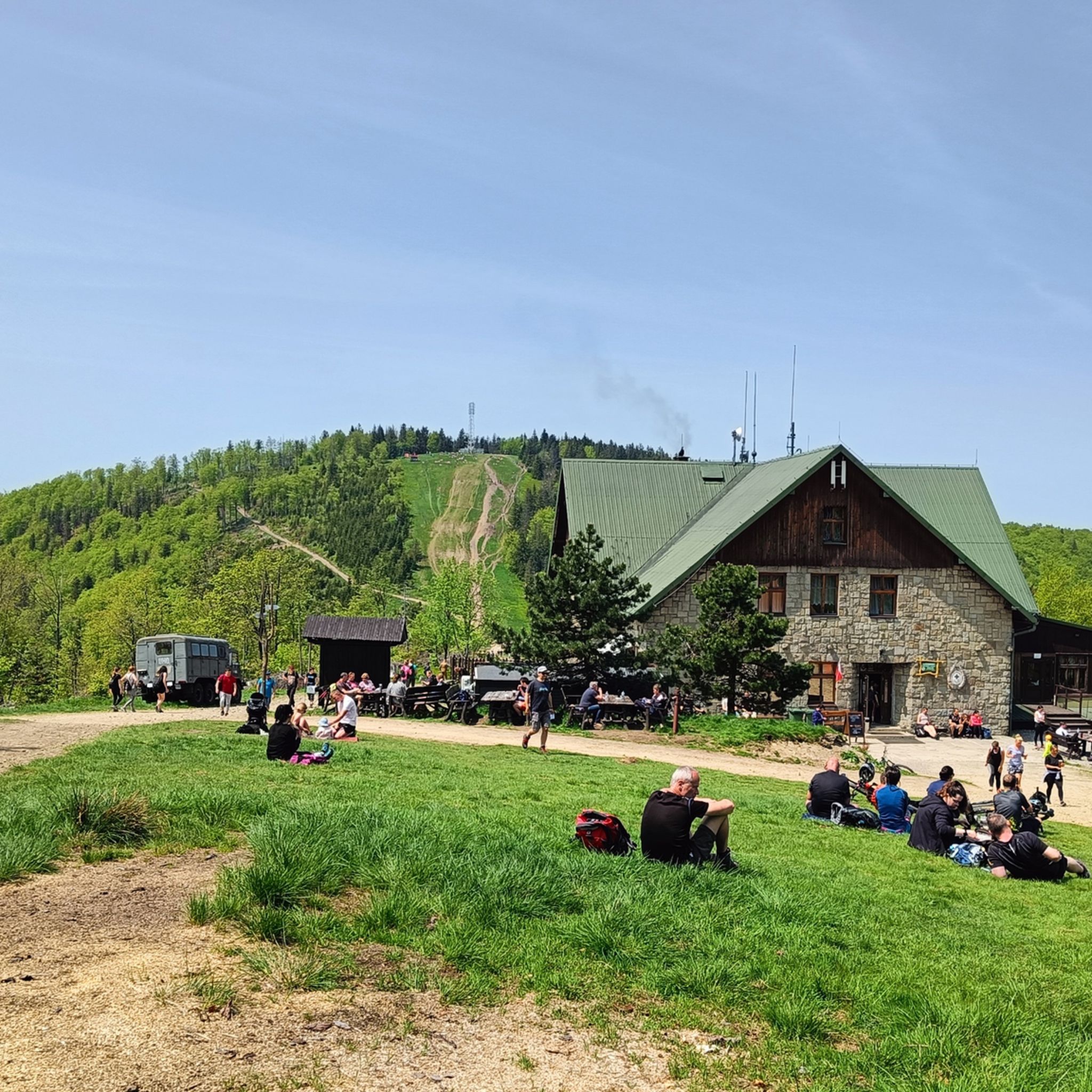
Hiking in Park Krajobrazowy Beskidu Śląskiego
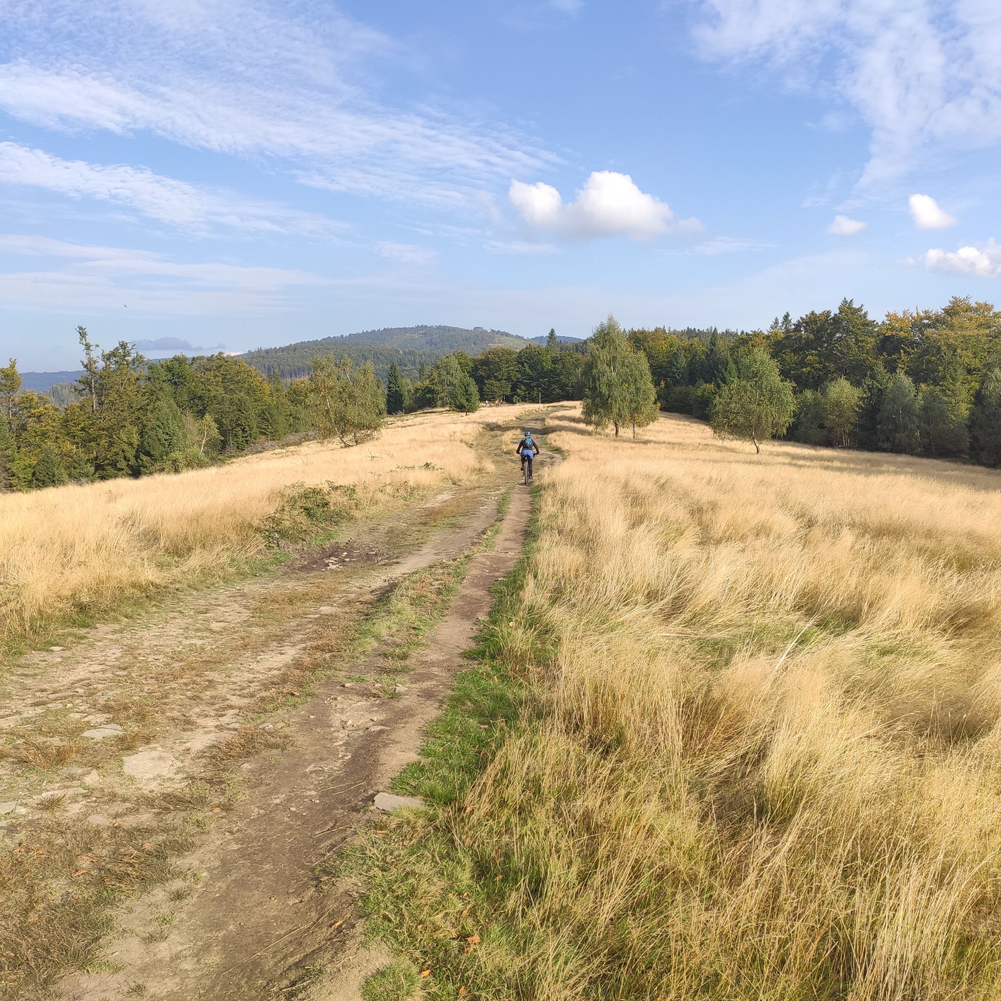
MTB Trails in Park Krajobrazowy Beskidu Śląskiego
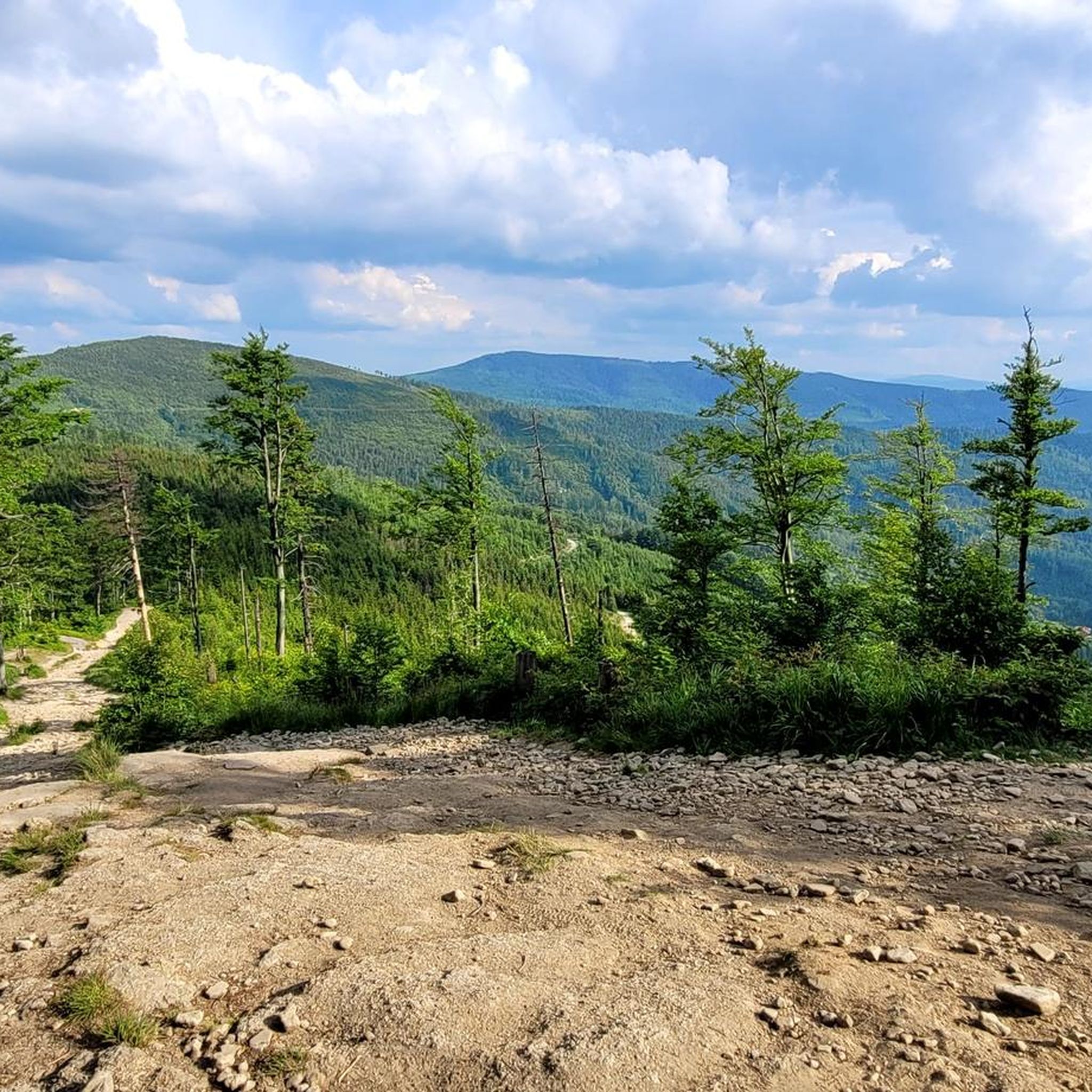
Running Trails in Park Krajobrazowy Beskidu Śląskiego
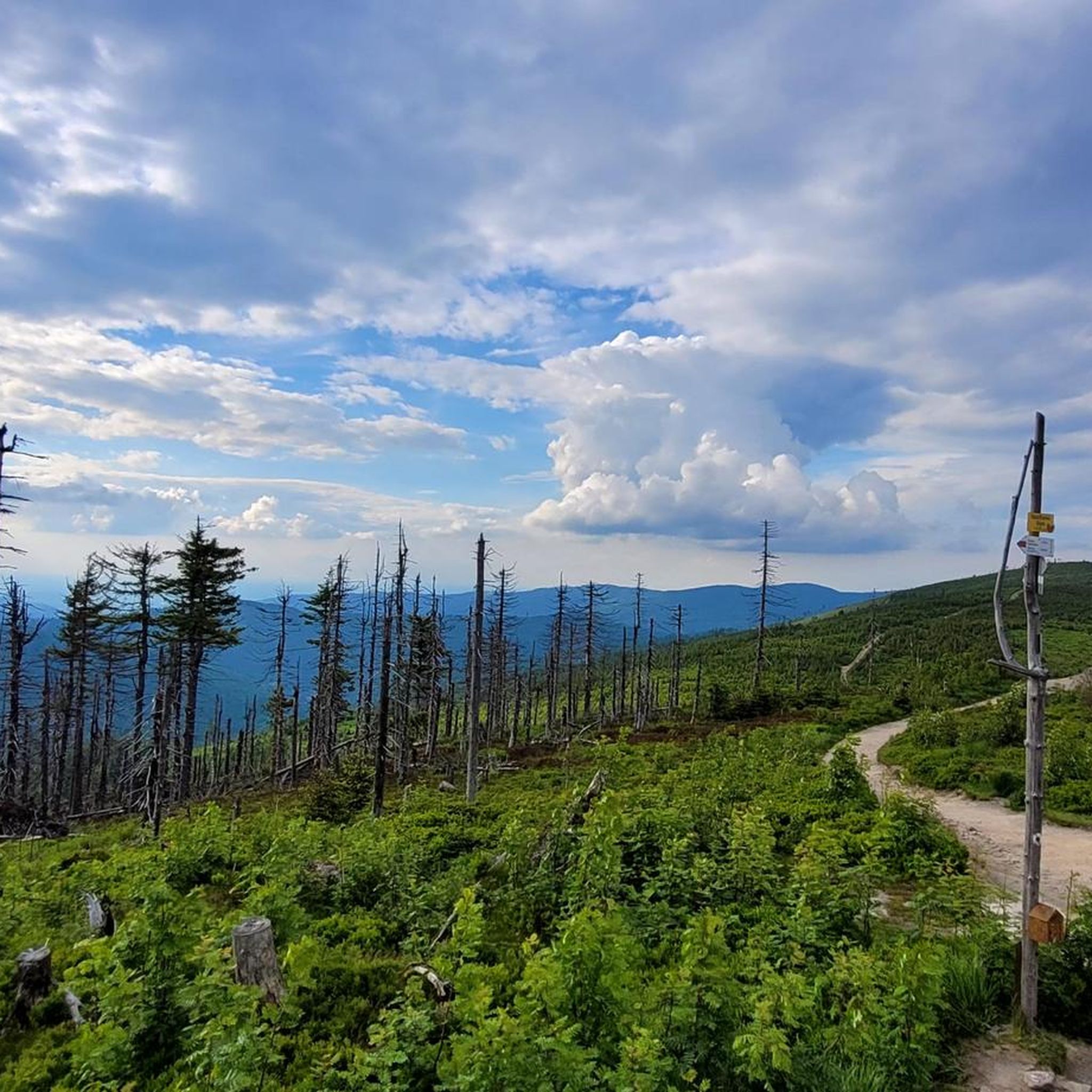
Cycling in Park Krajobrazowy Beskidu Śląskiego
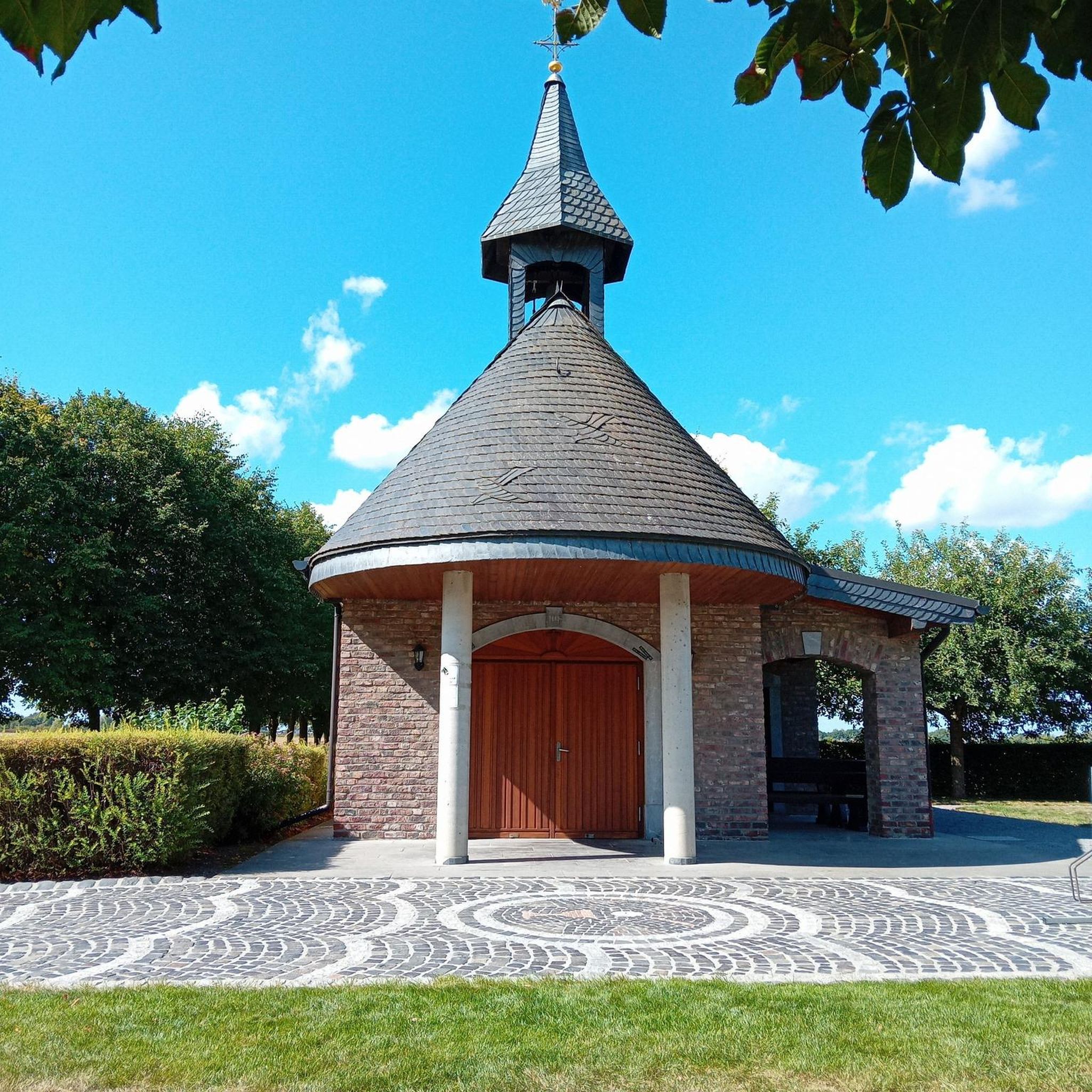
Mountain Hikes in Park Krajobrazowy Beskidu Śląskiego
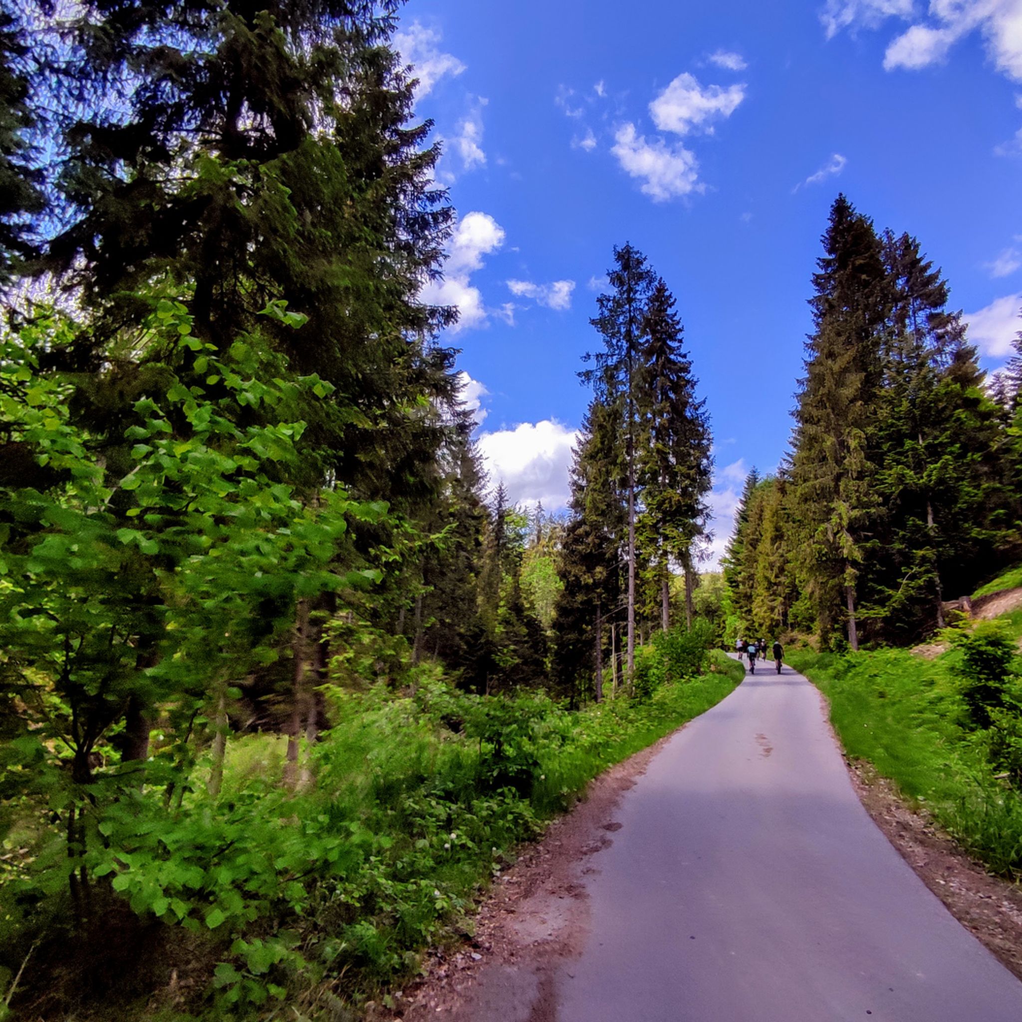
Road Cycling Routes in Park Krajobrazowy Beskidu Śląskiego
Gravel biking in Park Krajobrazowy Beskidu Śląskiego
Other adventures in Park Krajobrazowy Beskidu Śląskiego

Tips from the Community

Skrzyczne is Skrzyczne, the views speak for themselves. It can be easily reached by bike from Dolina Zimnika, only a short section at the end requires pushing up a steep hiking trail.
0
0

Iconic place in the Silesian Beskids, beautiful panoramas, easy trail for everyone.
2
0

The "Klimczok" mountain shelter is located at an altitude of 1,034 meters above sea level. A wooden shelter called "Klementynówka" was built in 1872. In 1914, after numerous renovations, the shelter was opened to tourists. The shelter hosts "White" and "Green" schools and summer camps, which are often highlighted by the shelter's outdoor swimming pool and 7-meter-high climbing wall.
2
0

The highest peak of the Silesian Beskids, part of the Crown of Polish Mountains, with panoramic views of the Beskid ranges and the Tatras on clear days.
1
0

I highly recommend it
0
0
Everything is fine, I recommend it
0
0

Incredible views of the surroundings from the observation tower on Wielka Czantoria. Czantoria itself is the highest peak of the Silesian Beskids (995 meters), and now add another 29 meters for the tower.
3
0
Stunning views of the Tatra Mountains. So good, you'll lose your mind. You'll just want to jump for joy (just be careful not to fall off that tower!)
2
0
Frequently Asked Questions
What are some of the most notable natural landmarks and viewpoints in Park Krajobrazowy Beskidu Śląskiego?
Beyond the highest peaks, you can explore Malinowska Rock, a prominent formation at 1,152 meters known for its beautiful views. Another excellent viewpoint is Ochodzita in Koniaków, which offers exceptional, unobstructed vistas, especially at sunset, due to its treeless summit.
Are there easy hiking trails suitable for beginners or families in the park?
Yes, the park offers several easy hiking options. For example, you can find routes like the "Salmopolska Pass – Kotarz Summit Shelter loop" or the "Rezerwat Jaworzyna loop from Wapienica." These trails are generally shorter and have less elevation gain, making them suitable for a more relaxed outing. You can find more easy hikes in the region on the Easy hikes in Park Krajobrazowy Beskidu Śląskiego guide.
What kind of outdoor activities can I do near the park's attractions?
The park is ideal for various outdoor activities. Besides hiking, you can enjoy mountain biking on trails like the "HipHopa Flow Trail" or the "Rock N Rolla and Twister Trail." For runners, there are challenging routes such as the "Pod Przykrą Pass – Klimczok loop from Wapienica." Explore more options on the MTB Trails guide and Running Trails guide for the region.
What is the best time of year to visit Park Krajobrazowy Beskidu Śląskiego?
The best times to visit are late spring (May-June) and early autumn (September-October) for stable weather conditions, which are ideal for mountain excursions. Summer offers cultural programs and events, while winter transforms the park into a haven for snow sports enthusiasts.
Are there any mountain huts or shelters available for hikers?
Yes, the park has a well-developed network of PTTK mountain huts. The Klimczok Mountain Hut (PTTK Klimczok Shelter) is a popular hub, offering accommodation and meals. Other huts, such as those on Skrzyczne and Przysłop pod Baranią Górą, provide essential resting points and refreshments for hikers.
What unique natural features, like caves or forests, can be found in the park?
The park is home to several unique natural features, including flysch caves like Jaskinia Wiślańska and Jaskinia Malinowska. You can also discover interesting rock formations such as "Grzybowe Skały" (Mushroom Rocks) in the Stożek range. The park also protects diverse forest ecosystems in reserves like Dzielowy Forest and Góra Bucze.
What wildlife might I encounter in Park Krajobrazowy Beskidu Śląskiego?
The park is rich in diverse fauna. You might spot deer, roe deer, and wild boars. Occasionally, more elusive animals like wolves, lynx, and even bears are present. Birdwatchers can look for species such as the Lesser Spotted Eagle, ring ouzel, three-toed woodpecker, capercaillies, and other large birds of prey.
Which towns serve as good starting points for exploring the park?
Several towns are excellent bases for exploring the park. Szczyrk is a popular tourist and recreational town, providing access to northern and southern trails. Wisła is another key town and a major departure point for many routes. Ustroń also offers good access to the park's trails and regional attractions.
Can I reach the park's attractions using public transport?
Yes, towns like Szczyrk, Wisła, and Ustroń, which are excellent access points to the park, are generally well-connected by public transport. From these towns, you can often find local buses or other services that can take you closer to various trailheads and attractions within the park.
What is the significance of Barania Góra in the region?
Barania Góra is the second-highest peak in the Silesian Beskids and is particularly significant as it is the source of the Vistula River, Poland's longest river. A viewing tower on its summit provides panoramic 360° views of the Beskids, and on clear days, you can even see the Tatra Mountains.
Are there any long-distance hiking routes that pass through the park?
Yes, the renowned Główny Szlak Beskidzki (Main Beskid Trail) passes through the highest parts of the Silesian Beskids. This trail offers challenging and rewarding long-distance hiking experiences for those looking for multi-day adventures.
Most popular routes in Park Krajobrazowy Beskidu Śląskiego
Most popular attractions in Park Krajobrazowy Beskidu Śląskiego

Get inspired with the komoot mobile app


Explore more
Still not found the Highlight you’re looking for? See guides of the top attractions in other regions:
