The best mountain hikes in Nationalpark-Kernzone
4.8
(565)
1,954
hikers
150
hikes
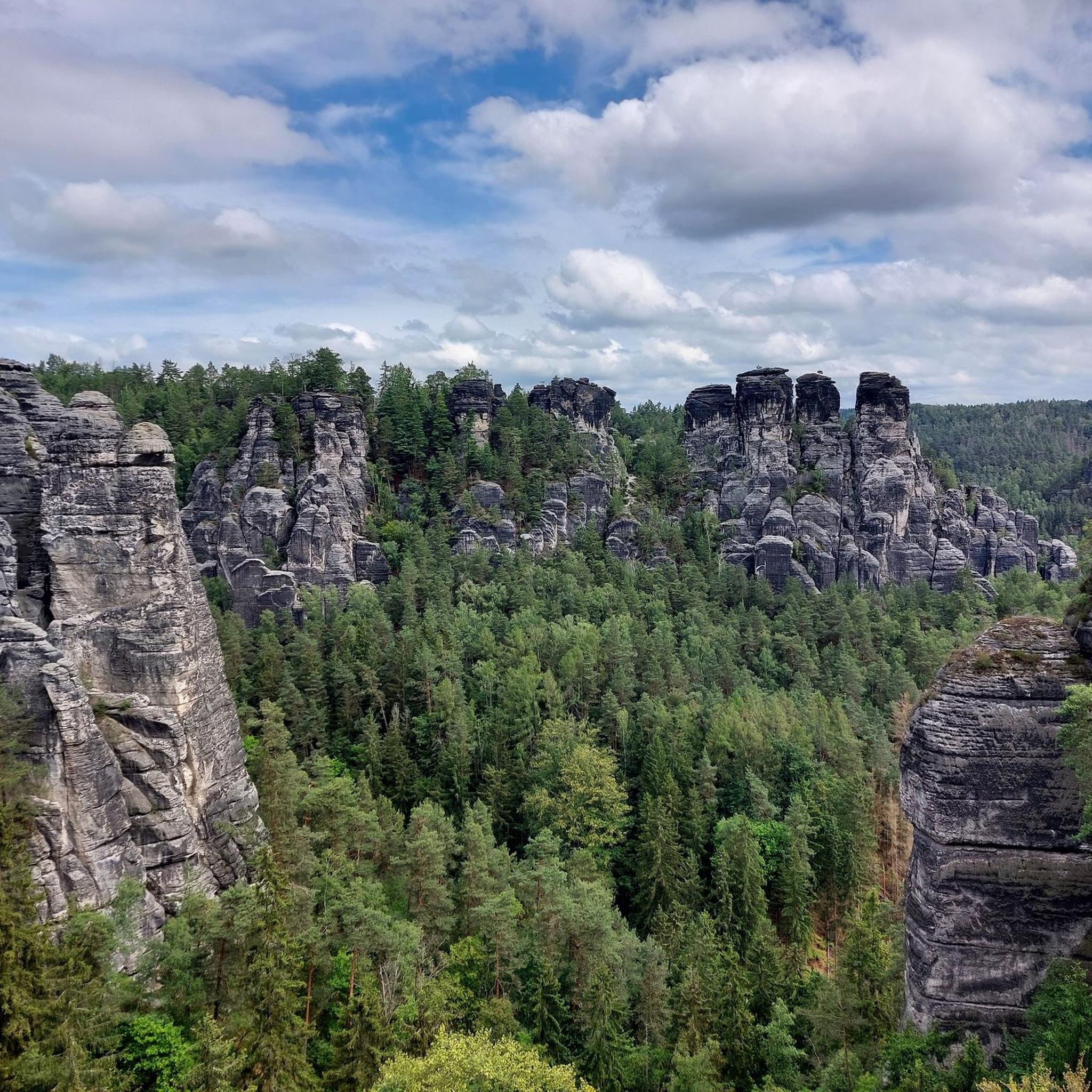
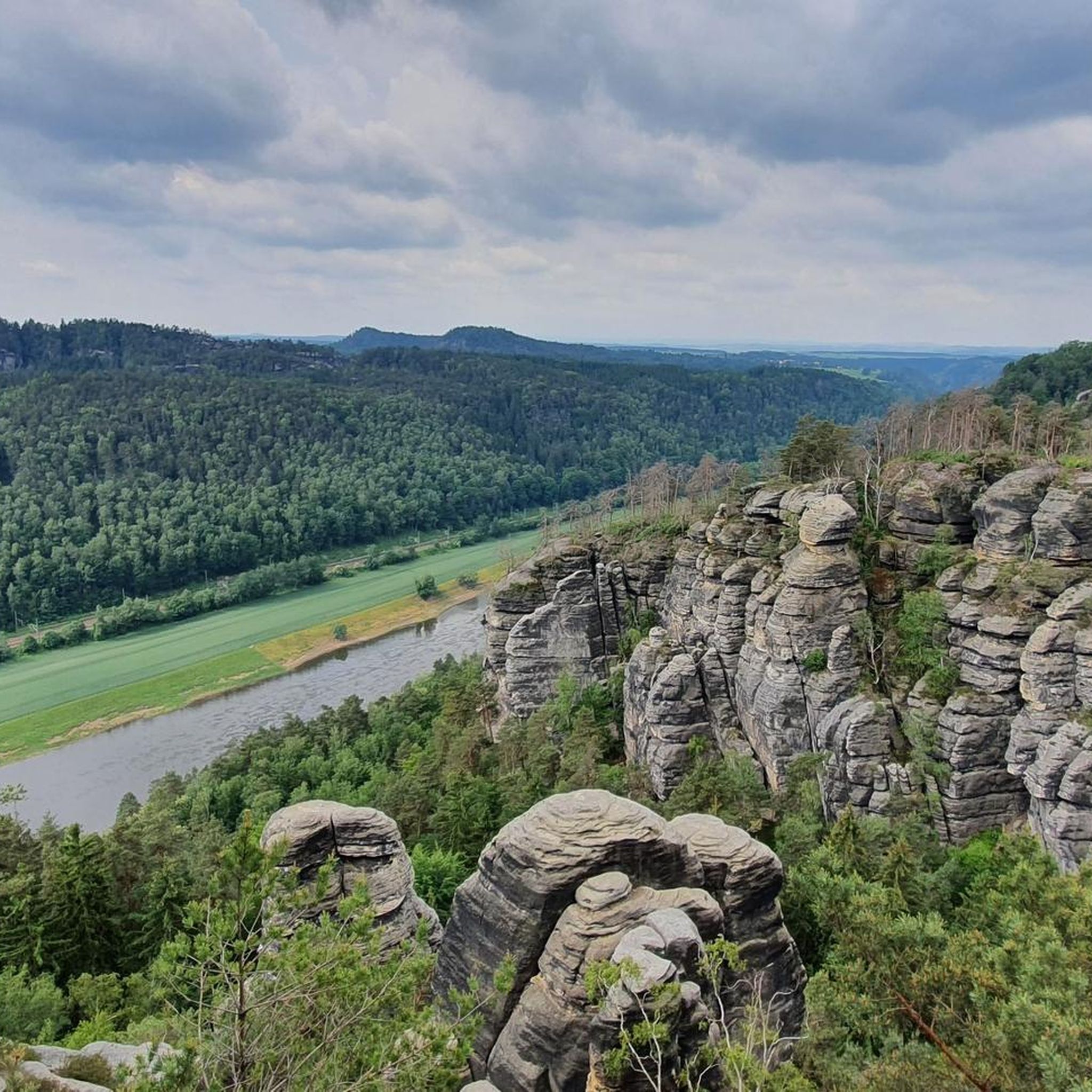
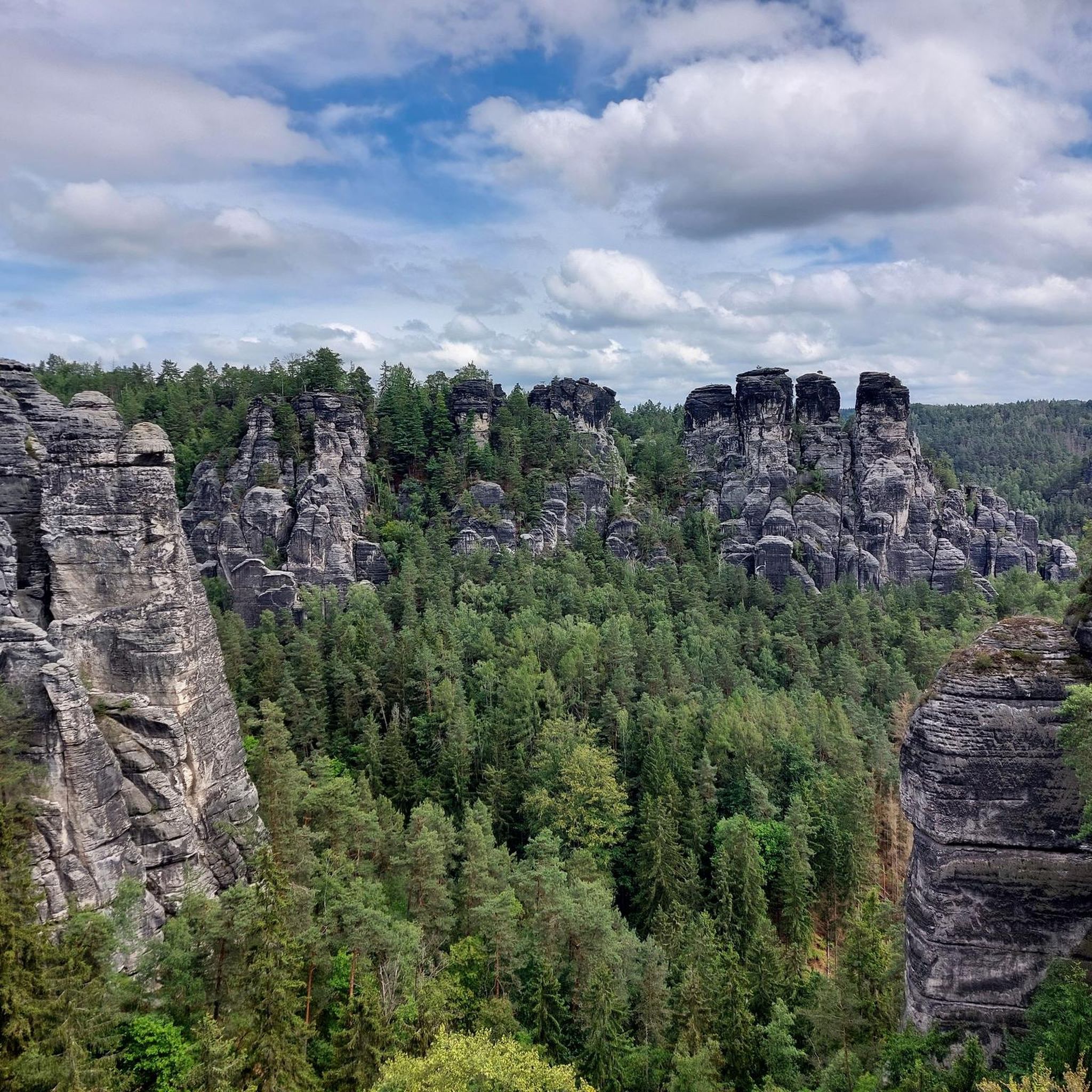
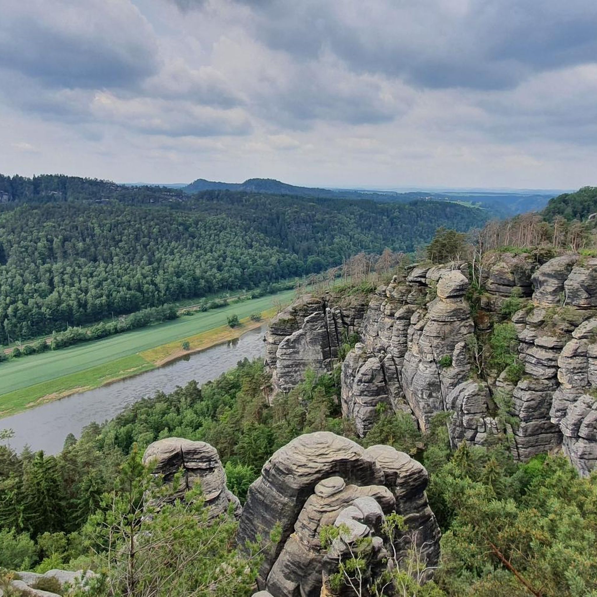
Mountaineering routes in Nationalpark-Kernzone are characterized by the dramatic landscapes of Saxon Switzerland, featuring iconic sandstone cliffs, deep canyons, and unique rock formations. This region offers a challenging environment for mountaineers, with routes often traversing rugged terrain and providing expansive views. The core zone's untouched natural environment ensures a pristine experience amidst its high mountain areas and diverse ecosystems.
Best mountaineering routes in Nationalpark-Kernzone
- The most popular mountaineering route is Rock Arch at Lamm – Lokomotive Rock Formation loop from…
Last updated: October 11, 2026
4.0
(6)
27
hikers
13.5km
04:03
350m
350m
Hard mountaineering route. Good fitness required. Sure-footedness, sturdy shoes and alpine experience required.
5.0
(3)
5
hikers
6.25km
02:04
230m
230m
Hard mountaineering route. Good fitness required. Sure-footedness, sturdy shoes and alpine experience required.

4.7
(3)
14
hikers
16.5km
05:14
500m
500m
Hard mountaineering route. Very good fitness required. Sure-footedness, sturdy shoes and alpine experience required.
14
hikers
Moderate mountaineering route. Good fitness required. Easily-accessible paths. Suitable for all skill levels.
3.0
(1)
3
hikers
Hard mountaineering route. Good fitness required. Sure-footedness, sturdy shoes and alpine experience required.
Get access to more routes and recommendations from other explorers.
Already have an account?
Our route recommendations are based on thousands of hikes, rides, and runs completed by other people on komoot.
Start today with a free account
Your next adventure awaits.
Popular around Nationalpark-Kernzone

#GoFurther – discover the views of Germany!
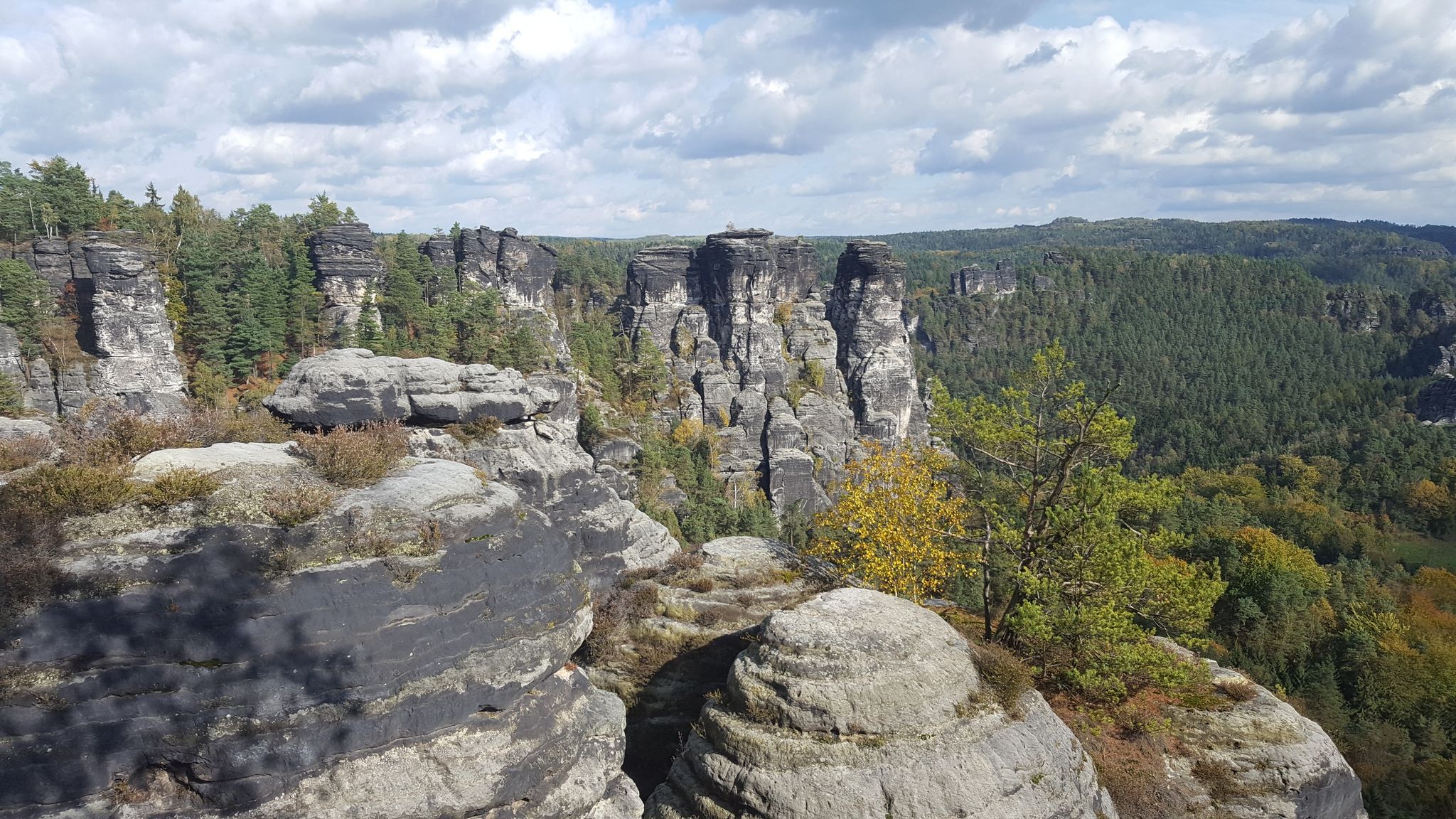
Saxon Switzerland - Adventures for Everyone
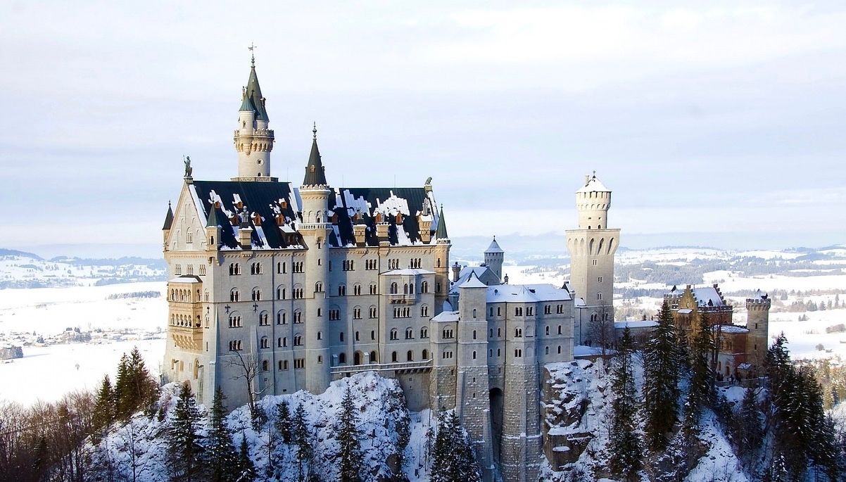
Like a fairytale – Germany during Advent
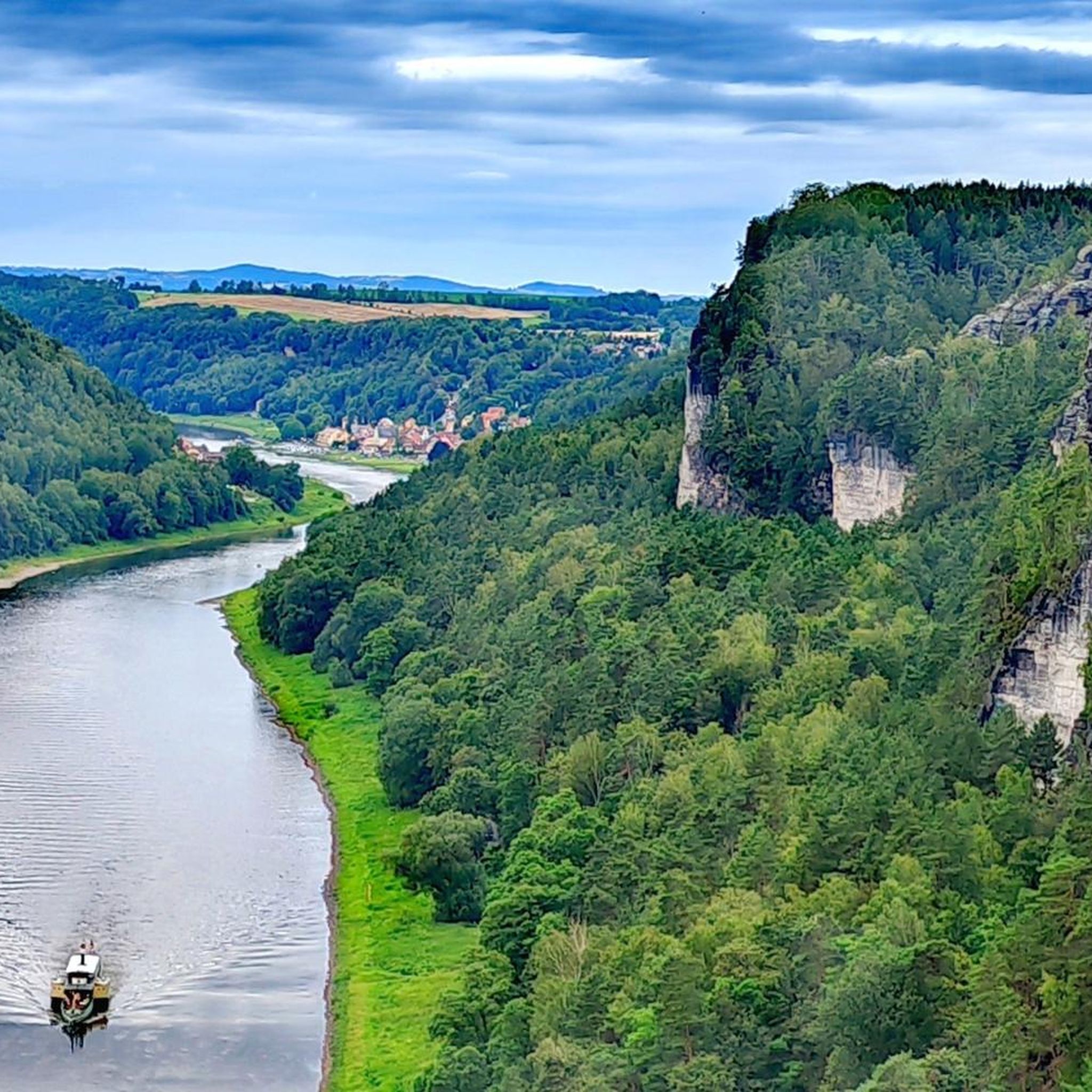
Hiking in Nationalpark-Kernzone
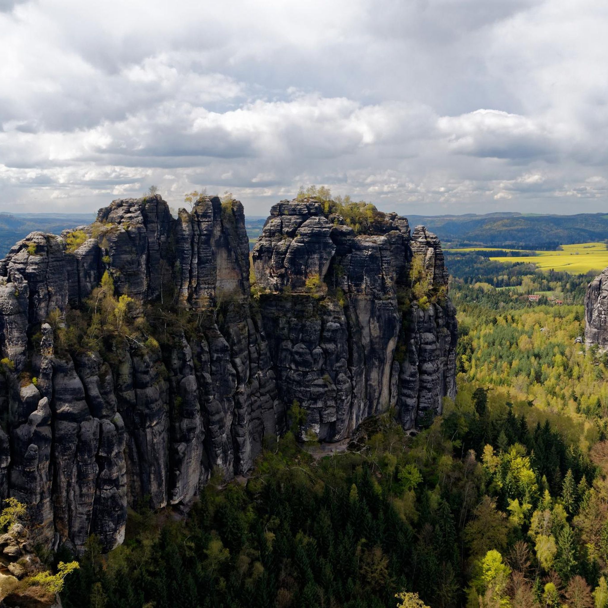
Gravel biking in Nationalpark-Kernzone
Cycling in Nationalpark-Kernzone
MTB Trails in Nationalpark-Kernzone
Running Trails in Nationalpark-Kernzone
Road Cycling Routes in Nationalpark-Kernzone


Tips from the Community

An exceptionally romantic gorge between Bastei and Amselgrund, crossed by a narrow rocky passage with stairs and footbridges. The Schwedenlöcher (Swedish Holes) form a deep gorge in the rock massif between Rathen and the Bastei. The name dates back to the Thirty Years' War, when villagers hid in the gorge from passing troops. Today, a well-maintained path runs through the gorge via around 700 steps. The path runs between high sandstone walls, some of which are only a few meters apart. In many places, it remains pleasantly cool even in summer, and in winter, green moss glows on the walls. With an altitude difference of about 160 meters, the climb is challenging, but doable. The Schwedenlöcher (Swedish Holes) are located in the middle of Saxon Switzerland National Park, which has specific nature conservation regulations. Note! Due to a severe storm, there is a detour through the gorge❗️
0
0

More information at the following link: https://www.saechsische-schweiz.de/ausflugsziele/schwedenloecher-lohmen
0
0

The Malerweg also leads here. All information about the Malerweg can be found at the following link: https://www.saechsische-schweiz.de/malerweg (Status: 22.06.2026).
0
0
The Malerweg also leads along here. All information about the Malerweg can be found at the following link: https://www.saechsische-schweiz.de/malerweg (Status: 22.06.2026).
0
0
The Malerweg also leads along here. All information about the Malerweg can be found at the following link: https://www.saechsische-schweiz.de/malerweg (Status: 22.06.2026).
0
0
The Malerweg also leads along here. All information about the Malerweg can be found at the following link: https://www.saechsische-schweiz.de/malerweg (Status: 22.06.2026).
0
0
The Malerweg also leads along here. All information about the Malerweg can be found at the following link: https://www.saechsische-schweiz.de/malerweg (Status: 22.06.2026).
0
0
The Malerweg also leads here. All information about the Malerweg can be found at the following link: https://www.saechsische-schweiz.de/malerweg (Status: 22.06.2026).
0
0
Frequently Asked Questions
How many mountaineering routes are available in Nationalpark-Kernzone?
Nationalpark-Kernzone offers a comprehensive network of over 160 mountaineering routes. These routes cater to various skill levels, with 7 easy, 51 moderate, and 107 difficult trails to explore.
What kind of terrain can I expect on mountaineering routes in Nationalpark-Kernzone?
Mountaineering in Nationalpark-Kernzone is defined by the dramatic landscapes of Saxon Switzerland. You can expect to encounter iconic sandstone cliffs, deep canyons, and unique rock formations. Routes often traverse rugged terrain, providing a challenging environment and expansive views.
Are there any circular mountaineering routes in Nationalpark-Kernzone?
Yes, many routes in Nationalpark-Kernzone are designed as loops, allowing you to start and end at the same point. For example, the challenging Rock Arch at Lamm – Lokomotive Rock Formation loop from Kurort Rathen is a popular choice, exploring distinctive rock formations over 9.3 km.
What are some notable natural landmarks or viewpoints along the mountaineering routes?
The region is rich in natural landmarks and viewpoints. You can experience the famous Bastei Bridge, explore the dramatic Schwedenlöcher Gorge, or take in panoramic views from the Bastei Viewpoint. Another highlight is the Neurathen rock castle, offering historical insights amidst the natural beauty.
Are there any family-friendly mountaineering options in Nationalpark-Kernzone?
While many routes are challenging, there are 7 easy routes that might be suitable for families with older children or those looking for less strenuous options. It's always recommended to check the specific route details and difficulty before heading out with family.
What do other mountaineers enjoy most about the routes in Nationalpark-Kernzone?
The routes in Nationalpark-Kernzone are highly rated by the komoot community, with an average score of 4.8 stars from over 500 reviews. Mountaineers often praise the unique sandstone formations, the challenging yet rewarding terrain, and the breathtaking views of the Elbe and surrounding mountains.
What is the best time of year for mountaineering in Nationalpark-Kernzone?
The core zones of national parks are generally best explored during periods of stable weather. While specific conditions can vary, late spring to early autumn typically offers the most favorable conditions for mountaineering, with less snow and more predictable weather. Always check local forecasts and trail conditions before your trip.
Are there any specific permits required for mountaineering in Nationalpark-Kernzone?
Within the core zone of national parks, access is often restricted to marked paths to minimize disturbance to wildlife and preserve delicate ecosystems. While general permits for hiking on marked trails are usually not required, specific climbing routes or off-trail activities might have regulations. For detailed information on climbing rules and potential permits, especially in areas like Gesäuse National Park, it's advisable to consult the official national park websites, such as nationalpark-gesaeuse.at or nationalpark.at.
Can I bring my dog on the mountaineering trails in Nationalpark-Kernzone?
National parks often have specific rules regarding dogs to protect wildlife and maintain the natural environment. While some trails may allow dogs on a leash, others might be restricted. It's crucial to check the specific regulations for Nationalpark-Kernzone before planning your trip with a dog.
Are there any particularly challenging mountaineering routes for experienced climbers?
Yes, Nationalpark-Kernzone offers numerous challenging routes for experienced mountaineers. An example is the Gautsch Grotto – Thieves' Cave loop from Hohnstein, a difficult 16.5 km path that navigates through demanding terrain, including canyons and unique rock formations. Many of the 107 difficult routes will provide a significant challenge.
What is the typical duration for mountaineering routes in this region?
The duration of routes varies significantly based on difficulty and distance. For instance, the Rauenstein Summit – Neurathen rock castle loop from Kurort Rathen is a difficult 13.5 km route that typically takes around 4 hours 17 minutes. Shorter, difficult routes like the Bastei Bridge viewpoint – Schwedenlöcher Gorge loop from Kurort Rathen can be completed in about 1 hour 10 minutes.
Are there options for public transport access to the trailheads?
While specific public transport options vary by trailhead, many national parks, including those with core zones, aim to provide sustainable access. It's advisable to research local bus or train services that connect to popular starting points or nearby towns like Kurort Rathen or Porschdorf (Kr Pirna) for routes such as the Long Descent After Brand Baude – Diebshöhle loop from Porschdorf (Kr Pirna).
Most popular routes in Nationalpark-Kernzone
Most popular attractions in Nationalpark-Kernzone

Get inspired with the komoot mobile app


Explore more
Browse the best Mountain Hikes & Routes in other regions.
