The best road cycling routes in Jägersruh-Gemäßgrund-Mulschwitzen
4.7
(177)
1,765
riders
137
rides
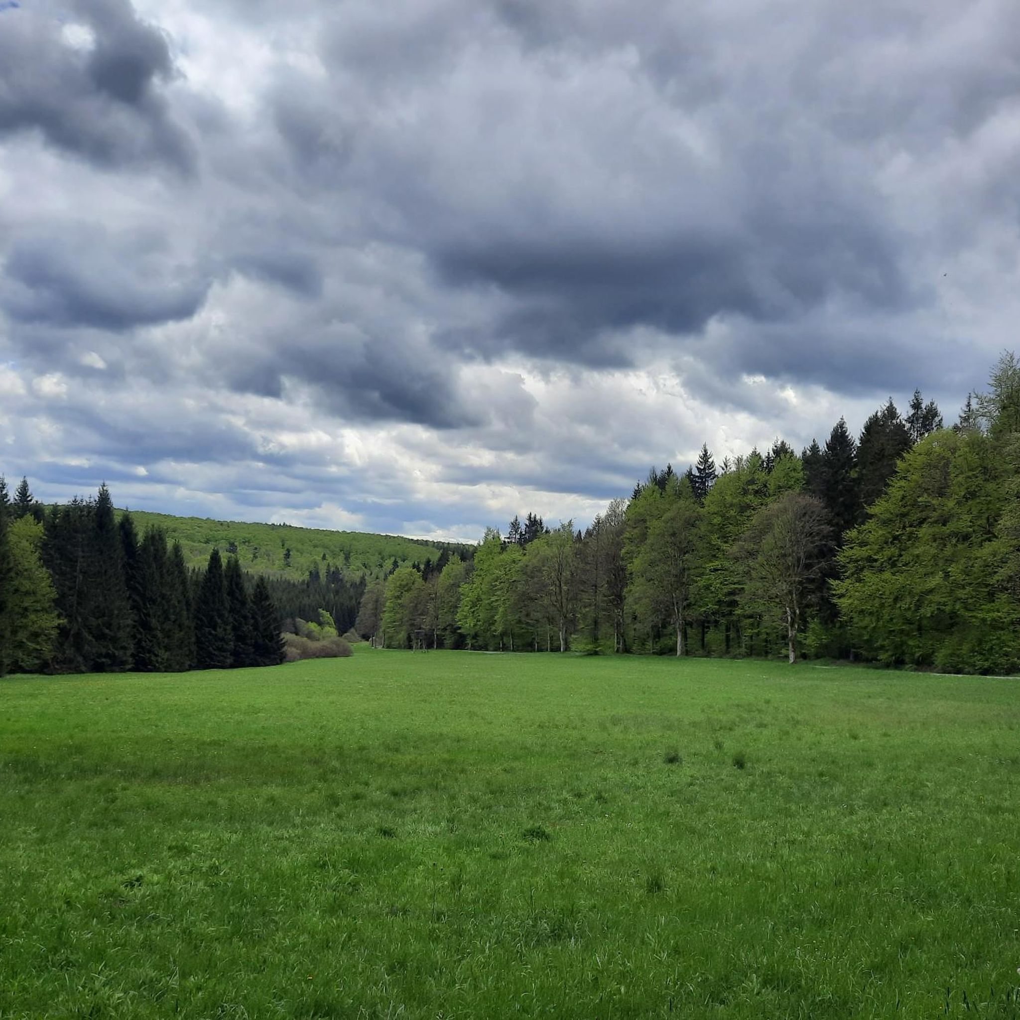
Road cycling routes in Jägersruh-Gemäßgrund-Mulschwitzen traverse a nature reserve characterized by a rich hydrography and diverse terrain. The Rodach river flows through the area, with the Fränkische Muschwitz and Thüringische Muschwitz rivers marking its boundaries. The landscape features protected forest environments, meadows, and varying elevations, providing a dynamic backdrop for cycling.
Best road cycling routes in Jägersruh-Gemäßgrund-Mulschwitzen
- The most popular road cycling route is Cycle Path Along the Kronach loop from Titschendorf, a 33.9 miles (54.6 km) trail that…
Last updated: November 10, 2026
4.6
(11)
110
riders
Moderate road ride. Good fitness required. Some segments of this route may be unpaved and difficult to ride.
5.0
(1)
9
riders
62.6km
03:15
900m
900m
Hard road ride. Very good fitness required. Mostly well-paved surfaces and easy to ride.

13
riders
37.1km
02:59
660m
660m
Moderate road ride. Good fitness required. Some segments of this route may be unpaved and difficult to ride.
3.0
(1)
16
riders
69.2km
03:06
640m
640m
Moderate road ride. Good fitness required. Some segments of this route may be unpaved and difficult to ride.
5.0
(2)
17
riders
32.5km
01:36
470m
480m
Moderate road ride. Good fitness required. Mostly well-paved surfaces and easy to ride.
Get access to more routes and recommendations from other explorers.
Already have an account?
Our route recommendations are based on thousands of hikes, rides, and runs completed by other people on komoot.
Start today with a free account
Your next adventure awaits.
Tips from the Community

The diabase quarry at Steinbühl is a well-known old quarry lake near Naila in Upper Franconia (Bavaria). Swimming in the quarry lake is not permitted or is not suitable. The lake is Station 2 of the approximately 7-kilometer long Geopfad Naila, which offers insights into the regional geology (diabase, picrite rocks, and diabase breccias).
2
0
Formerly part of the Naila–Schwarzenbach railway line; the route was converted into a cycle and hiking path
1
0

A beautiful building that stands out.
0
0

One of the "landmarks" in LBS
0
0


From the bridge, you have a very nice view of both sides of the reservoir
0
0

This old quarry impressed me a lot.
2
0

An excellent cycle path on the former railway line. It's almost completely flat, free of potholes and uneven surfaces. The route is also relatively quiet, making it ideal for really picking up speed. The surrounding scenery is particularly charming. Overall, this cycle path is highly recommended.
0
0
Frequently Asked Questions
How many road cycling routes are available in Jägersruh-Gemäßgrund-Mulschwitzen?
There are over 140 road cycling routes available in Jägersruh-Gemäßgrund-Mulschwitzen, offering a wide range of options for different skill levels and preferences.
What are the difficulty levels of road cycling routes in Jägersruh-Gemäßgrund-Mulschwitzen?
The routes in Jägersruh-Gemäßgrund-Mulschwitzen cater to various abilities. You'll find approximately 7 easy routes, around 72 moderate routes, and about 66 difficult routes, ensuring there's a challenge for every cyclist.
What kind of landscape can I expect while road cycling in Jägersruh-Gemäßgrund-Mulschwitzen?
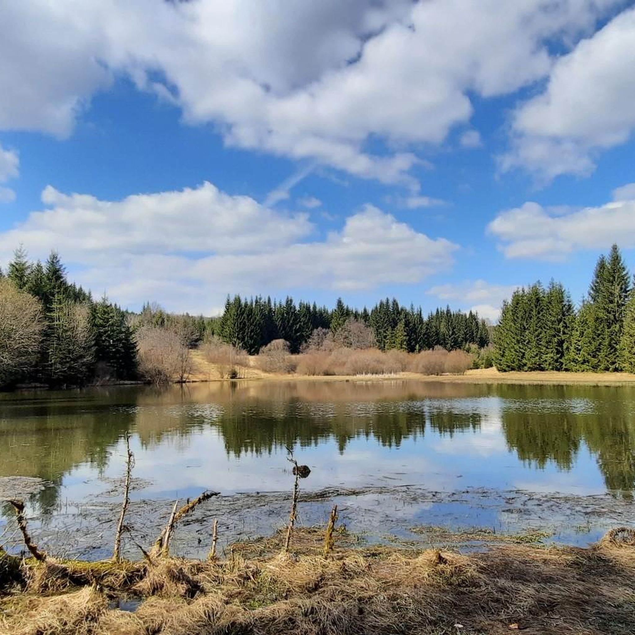
Road cycling in this nature reserve offers a dynamic backdrop of flowing rivers like the Rodach, Fränkische Muschwitz, and Thüringische Muschwitz. You'll traverse protected forest environments, meadows, and varying elevations, with notable natural attractions such as the Black Pond.
What do other cyclists say about road cycling in Jägersruh-Gemäßgrund-Mulschwitzen?
The road cycling routes in Jägersruh-Gemäßgrund-Mulschwitzen are highly rated by the komoot community, with an average score of 4.7 stars from over 160 reviews. Cyclists often praise the diverse terrain and the serene natural setting.
Are there any family-friendly road cycling routes in Jägersruh-Gemäßgrund-Mulschwitzen?
While specific 'family-friendly' designations aren't always explicit for road cycling, the region offers several easy and moderate routes that could be suitable for families. Look for routes with less elevation gain and lower traffic for a more relaxed experience.
Are there circular road cycling routes in Jägersruh-Gemäßgrund-Mulschwitzen?
Yes, many of the road cycling routes in Jägersruh-Gemäßgrund-Mulschwitzen are designed as loops. For example, the Cycle Path Along the Kronach loop from Titschendorf is a popular circular option, as is the View of the Ködeltalsperre – Ködeltalsperre loop from Nordhalben.
What are some scenic points or attractions I can see along the road cycling routes?
Along your rides, you can discover several natural and historical points of interest. Highlights include the picturesque Black Pond, the Source of the Thuringian Muschwitz, and the Memorial Site for Manfred Smolka. You might also pass by shelters like the Shelter on the Horse Trail.
Where can I find parking for road cycling in Jägersruh-Gemäßgrund-Mulschwitzen?
While specific parking areas for cyclists are not detailed, it's generally advisable to look for designated parking in nearby towns or villages such as Titschendorf or Nordhalben, which serve as common starting points for many routes.
Is public transport available to access road cycling routes in Jägersruh-Gemäßgrund-Mulschwitzen?
Information on specific public transport connections with bike carriage options directly into the nature reserve is limited. It's recommended to check local bus or train services in surrounding towns like Bad Lobenstein or Nordhalben for potential access points.
Are there any long-distance road cycling routes in the area?
Yes, the region offers longer routes for endurance cyclists. For instance, the Covered bridge over the Rodach River – Path Along the Wilde Rodach loop from Nordhalben spans over 76 kilometers, providing a significant challenge.
What is a good route for experienced road cyclists looking for a challenge?
Experienced cyclists seeking a challenge might enjoy the Humboldthaus – Quarry Lake at Steinbühl loop from Titschendorf. This route covers over 62 kilometers with nearly 900 meters of elevation gain, offering a demanding ride through varied terrain.
Can I bring my dog on road cycling routes in Jägersruh-Gemäßgrund-Mulschwitzen?
While the nature reserve is generally welcoming to visitors, specific rules for dogs on road cycling routes are not explicitly stated. It's always best to keep dogs on a leash, especially in protected areas, and be mindful of other users and wildlife.
Most popular routes in Jägersruh-Gemäßgrund-Mulschwitzen
Most popular attractions in Jägersruh-Gemäßgrund-Mulschwitzen

Get inspired with the komoot mobile app


Explore more
Browse the best Road cycling routes in other regions.
