The best walks and hikes around Gaggenau
4.5
(3711)
14,023
hikers
412
hikes
Hiking around Gaggenau offers diverse trails within the northern foothills of the Black Forest, characterized by lush forests, scenic valleys, and the Murg River. The region features significant elevation differences, creating impressive panoramas, particularly in the west. Hikers can explore varied terrain, from tranquil riverside paths to more challenging routes through deeply incised landscapes. This area provides a natural setting for outdoor activities, with numerous marked paths.
Best hiking trails around Gaggenau
- The most popular hiking route is Trail to Bernsteinfels – Bernstein Hut (654 m) loop from Moosbronn, a 9.7 miles (15.6 km) trail that takes 4 hours 36 minutes to complete. This route leads through the Bernsteinfels natural preserve, offering scenic views.
- Another top favourite among local hikers is Rotenfels trails – large loop, a moderate 5.4 miles (8.7 km) path. This trail explores the varied terrain of the Rotenfels area, known for its specific routes and natural surroundings.
- Local hikers also love the Michelbach Historic Wine Trail – Hilsberg Hut loop from Michelbach, a 9.2 miles (14.8 km) trail leading through vineyards and forested areas, often completed in about 4 hours 17 minutes.
- Hiking around Gaggenau is defined by Black Forest foothills, the Murg River valley, and dense woodlands. The network offers options for different ability levels, from easy riverside walks to more demanding ascents.
- The routes in Gaggenau are highly rated by the komoot community with an average score of 4.5 stars from over 2,900 reviews. More than 12,000 hikers have used komoot to explore Gaggenau's varied terrain.
Last updated: October 6, 2026
4.8
(305)
937
hikers
15.2km
04:30
440m
440m
Moderate hike. Good fitness required. Mostly accessible paths. Sure-footedness required.
4.6
(13)
61
hikers
8.75km
02:20
100m
100m
Moderate hike. Good fitness required. Easily-accessible paths. Suitable for all skill levels.

5.0
(1)
14
hikers
3.42km
00:55
40m
40m
Easy hike. Great for any fitness level. Easily-accessible paths. Suitable for all skill levels.
4.7
(188)
605
hikers
14.8km
04:17
380m
380m
Moderate hike. Good fitness required. Easily-accessible paths. Suitable for all skill levels.
4.6
(98)
365
hikers
11.5km
03:31
390m
390m
Moderate hike. Good fitness required. Easily-accessible paths. Suitable for all skill levels.
Get access to more routes and recommendations from other explorers.
Already have an account?
Our route recommendations are based on thousands of hikes, rides, and runs completed by other people on komoot.
Start today with a free account
Your next adventure awaits.
Popular around Gaggenau
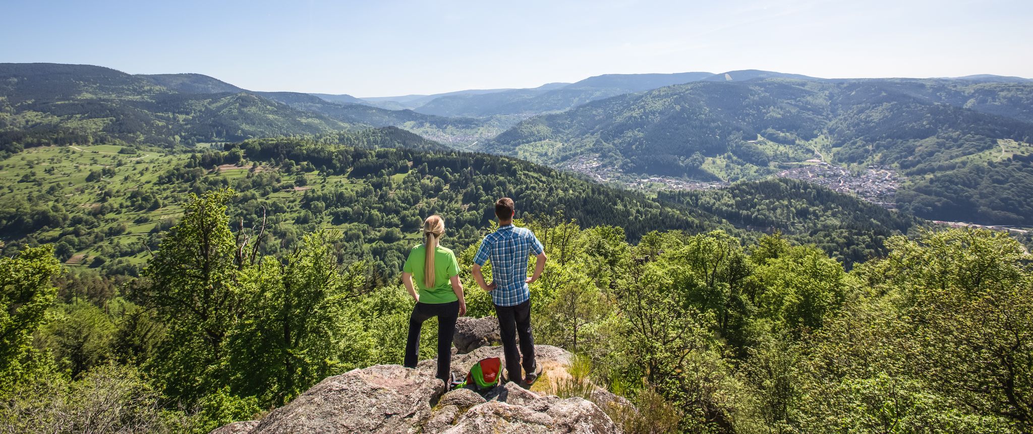
Murgleiter Trail – Experience the diverse Murg Valley in 5 stages
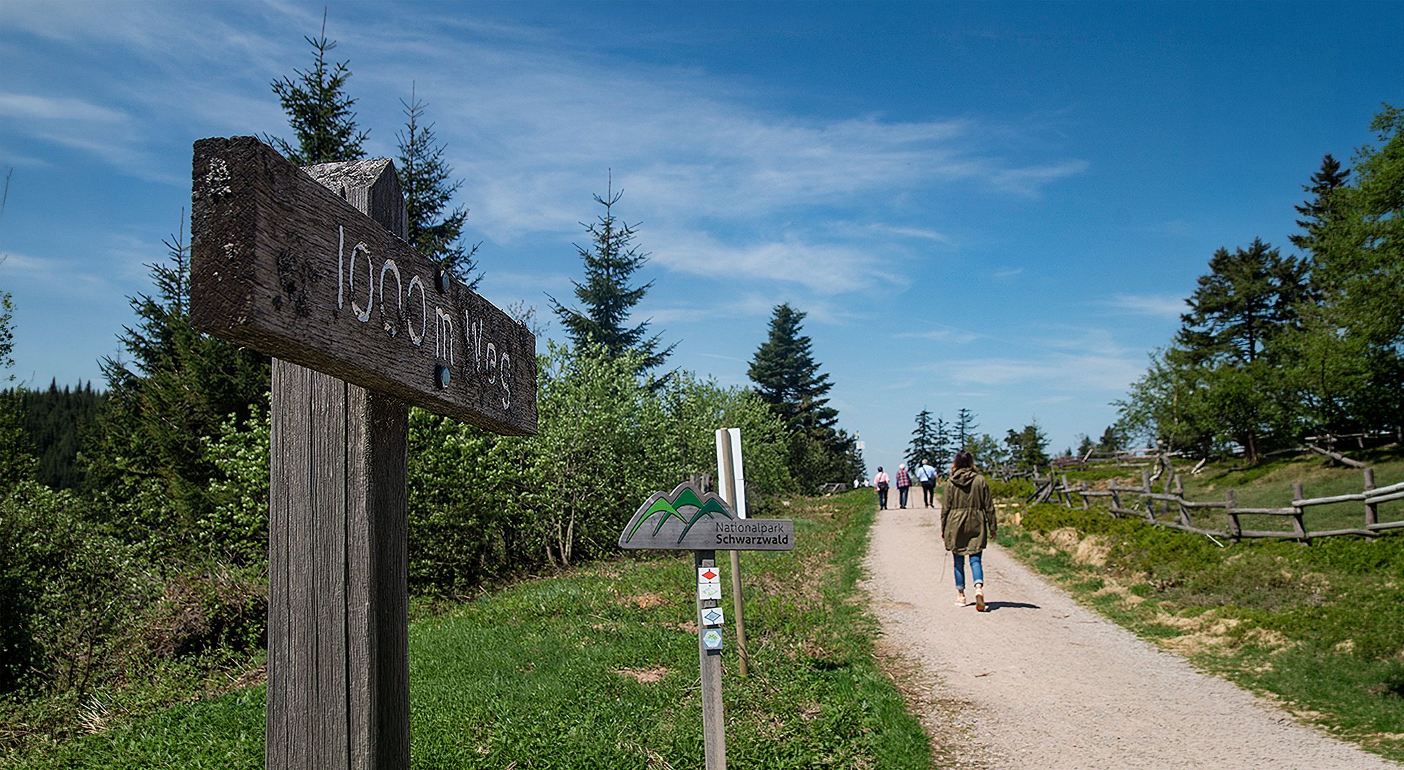
Barrier-free hikes in the Black Forest National Park
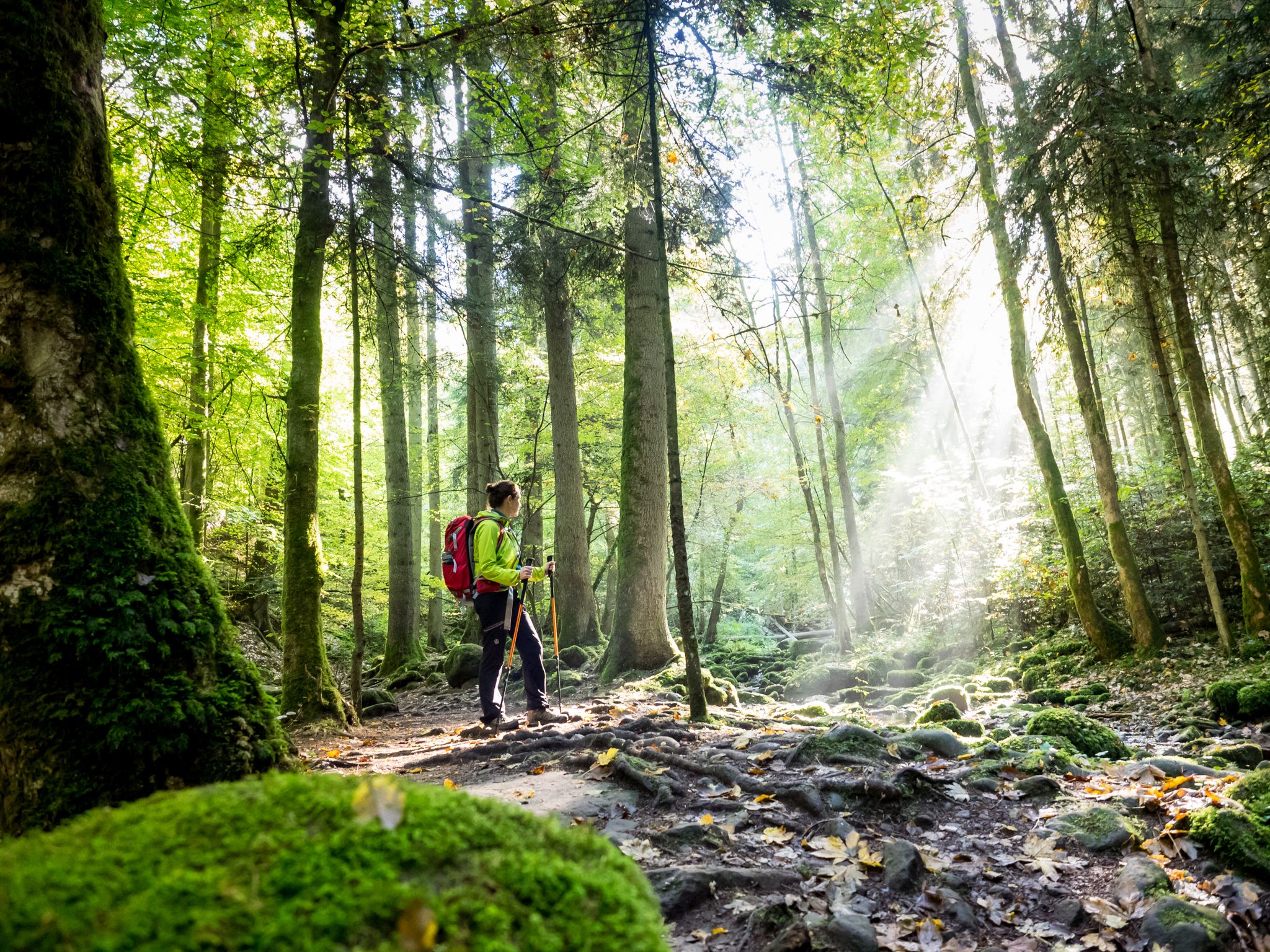
Far from the hustle and bustle – Hidden Trails in the Black Forest

Coolcation in the Black Forest – hiking and cooling off in summer

Discover premium and quality long-distance hiking in southern Germany
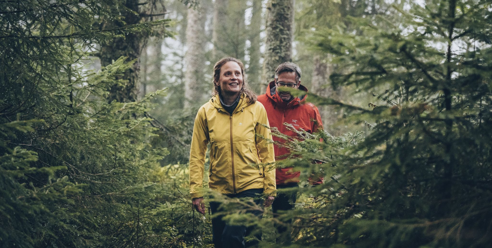
The Murgleiter – 5 days on the move in the northern Black Forest
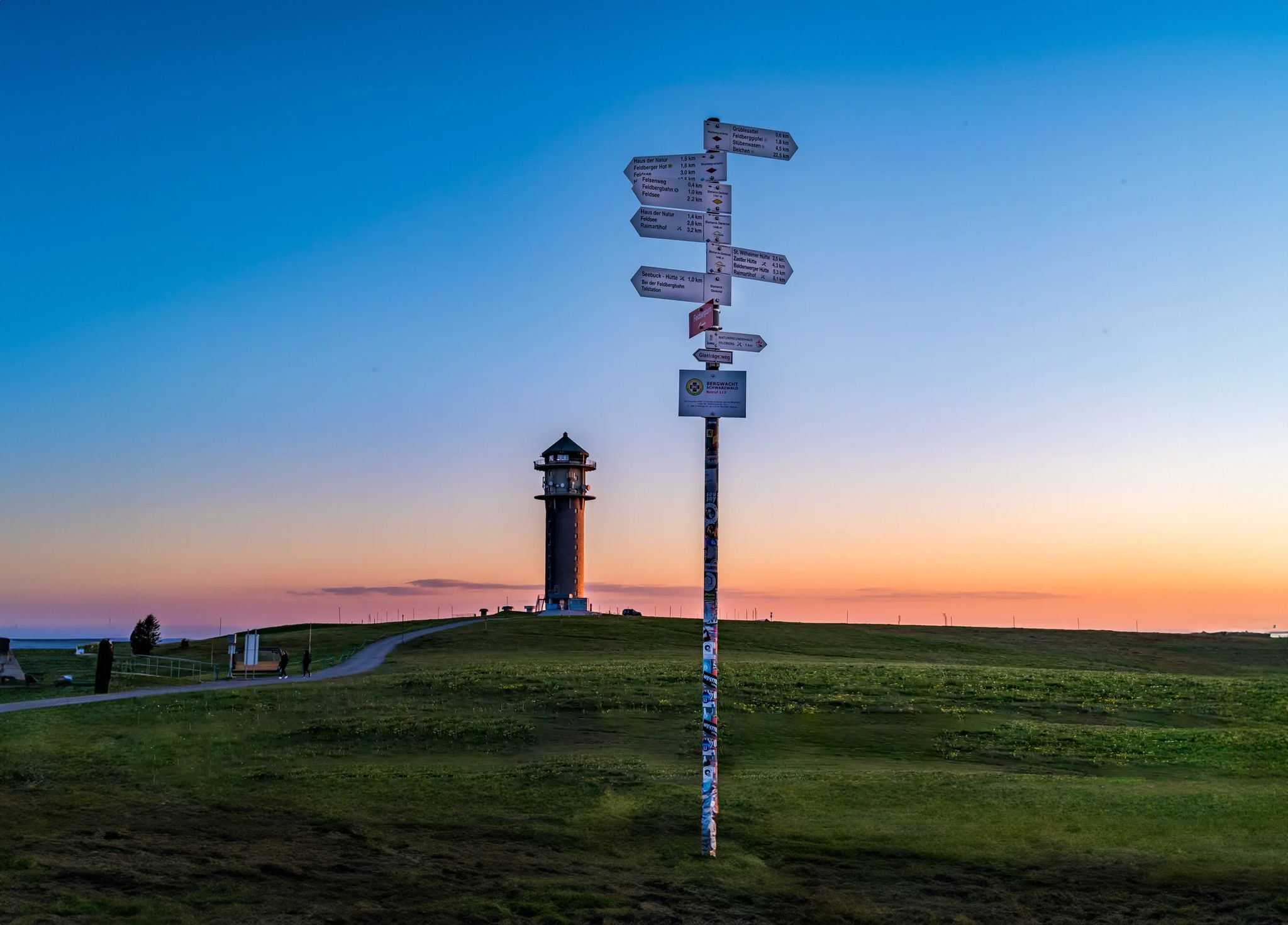
The most beautiful long-distance hiking trails in the Black Forest
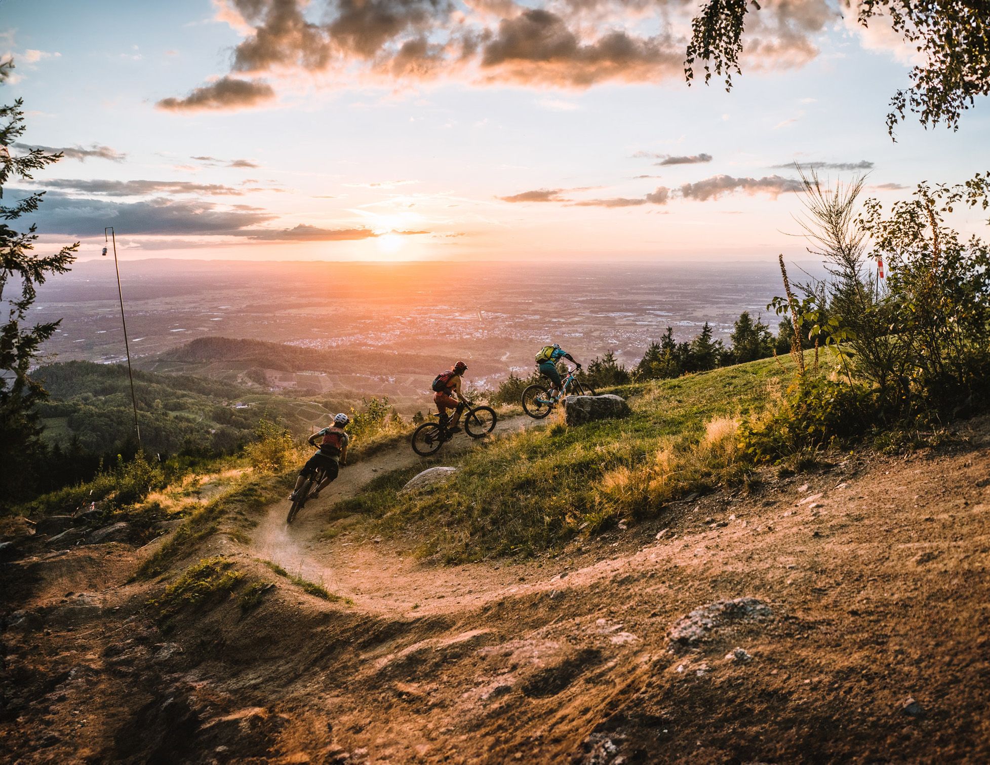
Discover the Black Forest on flowy trails
Wandern und warmes Wasser – Rundwege zu den Thermen Baden-Württembergs
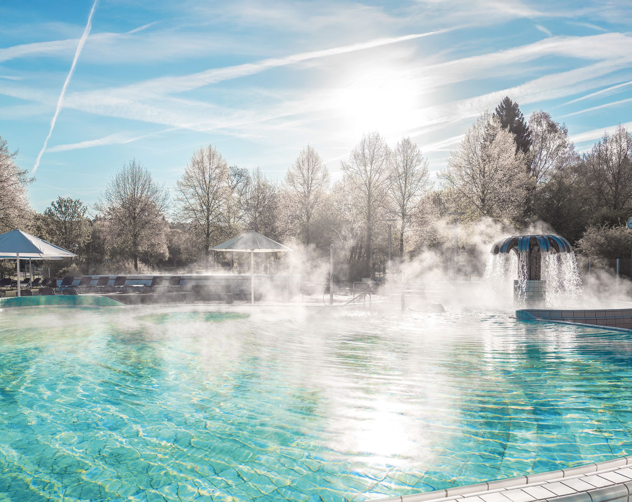
Naturgenuss & Badekultur – Wandern und Entspannen im Schwarzwald
Other adventures around Gaggenau


Tips from the Community

Well-rated restaurant with a cozy outdoor area in an idyllic location on the outskirts of Winkel, surrounded by horse paddies.
5
0

The history of the Gaggenau districts of Michelbach and Moosbronn, and the Bad Herrenalb district of Bernbach, is uniquely linked to the former state border between Baden and Württemberg. The so-called "wasp's waist" of the old state of Baden lay in the Michelbach district. At its narrowest point, it is only 17.2 kilometers from the Württemberg border to the Rhine. In the pilgrimage site of Moosbronn, the state border ran right through the village. Since the founding of the state of Baden-Württemberg in 1952 and the district reform in 1973, the communities on both sides of the old border have steadily grown together. An expression of this good neighborliness is the hiking trail "in the footsteps of the old border", which was created and signposted in 2002 on the occasion of "900 years of Michelbach" with the local administrations of Michelbach, Freiolsheim and Bernbach.
4
0
The Tannenwaldhütte was first mentioned in 1856 and destroyed by the storm "Lothar" on 26.12.1999. It was rebuilt by the nature club Michelbach, the leisure club "Ranch" and the forestry administration. Below the hut, there is a spring that does not run dry even on hot days.
3
0
Hiking trail over some stones and roots as a connecting path to and from the Bernstein Felsen.
4
0
Right well-walkable hiking trail over some stones and roots as a direct connection to the Bernstein Felsen.
4
0
Quite massive boundary stones on the former border between the Kingdom of Württemberg and the Grand Duchy of Baden with the year 1791.
4
0
Small, beautiful and quiet park with recreational and leisure facilities and a little gastronomy.
3
0
In the Schlosspark Rotenfels, there are many sculptures to see. Some are only temporarily exhibited in the park as part of events/workshops of the academy located in the castle.
6
0
Frequently Asked Questions
How many hiking trails are available around Gaggenau?
Gaggenau offers a wide variety of hiking experiences, with nearly 400 routes available. These trails cater to different preferences, from leisurely strolls along the river to more challenging ascents into the Black Forest foothills.
What do hikers enjoy most about the trails in Gaggenau?
The hiking trails around Gaggenau are highly rated by the komoot community, with an average score of 4.5 stars from over 2,900 reviews. Hikers often praise the diverse landscapes, including lush forests, scenic valleys, and impressive mountain panoramas, as well as the well-maintained paths.
Are there easy hiking trails suitable for beginners or families in Gaggenau?
Yes, Gaggenau has over 200 easy hiking routes. The region offers many gentle paths, such as sections of the Murg Valley trails or the Bahnwanderweg, which follows an old railway line and is mostly flat. These are ideal for families or those seeking a relaxed walk.
Are there any challenging hikes for experienced trekkers in Gaggenau?
For experienced trekkers, there are 15 difficult routes available. These often feature significant elevation differences and lead through the more rugged parts of the Black Forest foothills. An example is the Trail to Bernsteinfels – View from Oberer Bruchweg loop from Freiolsheim, which covers over 22 km with substantial climbs.
Can I find circular hiking routes in Gaggenau?
Yes, many trails around Gaggenau are designed as loops, allowing you to start and end at the same point. The Trail to Bernsteinfels – Bernstein Hut (654 m) loop from Moosbronn is a popular circular route that takes you through a natural preserve with scenic views.
What are the best seasons for hiking in Gaggenau?
The best seasons for hiking in Gaggenau are spring and autumn. During these times, the natural scenery is particularly beautiful, with colorful flower meadows in spring and brilliant autumnal forests. The weather is generally pleasant for outdoor activities.
Are there any trails with waterfalls near Gaggenau?
While not directly on every trail, the Geroldsauer Waterfall is a notable natural feature in the region. Some routes may pass near it or offer access, providing a refreshing stop where you can cool your feet.
What natural landmarks or viewpoints can I expect to see on hikes around Gaggenau?
The region boasts several impressive natural landmarks and viewpoints. You can explore the Bernsteinfels summit and viewpoint, which offers stunning vistas. Other notable spots include the Eichelberg and various points along the Murg Valley that provide panoramic views of the surrounding landscape.
Are there any historical or cultural attractions accessible from the hiking trails?
Yes, several trails offer access to historical and cultural sites. For instance, the Michelbach Historic Wine Trail – Hilsberg Hut loop from Michelbach leads through vineyards and forested areas with historical significance. You can also find trails that connect to attractions like Eberstein Castle or the ruins of Old Hohenbaden Castle.
Are the hiking trails in Gaggenau dog-friendly?
Many hiking trails in Gaggenau are suitable for dogs, especially those through forests and along the Murg River. It's always recommended to keep your dog on a leash, especially in nature reserves or areas with wildlife, and to check specific trail regulations beforehand.
Are there options for public transport access to hiking trailheads in Gaggenau?
Gaggenau is part of the Baden-Württemberg region, which generally has good public transport infrastructure. Many trailheads, especially those closer to towns or along the Murg Valley, can be accessed via local buses or trains, making it convenient to reach your starting point without a car.
Are there places to eat or drink along the hiking routes?
Yes, some hiking routes in Gaggenau pass by or lead to places where you can find refreshments. For example, the Käppele Beer Garden Café and Café Restaurant Wernisch (Müllenbild Pass) are highlights that offer opportunities for a break and a meal or drink.
Most popular routes around Gaggenau
Most popular attractions around Gaggenau

Get inspired with the komoot mobile app


Explore more
Browse the best Hikes in other regions.
