The best mountain hikes in Wildschutzgebiet Für Auerwild „Arber“
4.8
(180)
1,219
hikers
103
hikes
Mountaineering routes in Wildschutzgebiet Für Auerwild „Arber“ are centered around the Großer Arber, the highest peak in the Bavarian Forest at 4,775 feet (1,455.5 m). The region features subalpine calcareous grasses, rocky meadows, and mountain pine bushes near the summit. Dense primeval forests and glacial lakes like the Großer Arbersee, with its unique floating islands, characterize the lower elevations. The terrain offers varied challenges, from demanding ascents to routes through ancient woodlands.
Best mountaineering routes in Wildschutzgebiet Für Auerwild „Arber“
…Last updated: November 5, 2026
4.8
(5)
44
hikers
12.7km
04:37
580m
580m
Hard mountaineering route. Good fitness required. Sure-footedness, sturdy shoes and alpine experience required.
4.8
(4)
44
hikers
11.6km
04:18
570m
570m
Hard mountaineering route. Good fitness required. Sure-footedness, sturdy shoes and alpine experience required.

5.0
(1)
11
hikers
5.27km
01:49
280m
280m
Hard mountaineering route. Sure-footedness, sturdy shoes and alpine experience required.
5.0
(1)
11
hikers
5.27km
01:49
280m
280m
Hard mountaineering route. Sure-footedness, sturdy shoes and alpine experience required.
4.9
(7)
19
hikers
11.6km
03:56
530m
530m
Hard mountaineering route. Good fitness required. Sure-footedness, sturdy shoes and alpine experience required.
Get access to more routes and recommendations from other explorers.
Already have an account?
Our route recommendations are based on thousands of hikes, rides, and runs completed by other people on komoot.
Start today with a free account
Your next adventure awaits.
Popular around Wildschutzgebiet Für Auerwild „Arber“
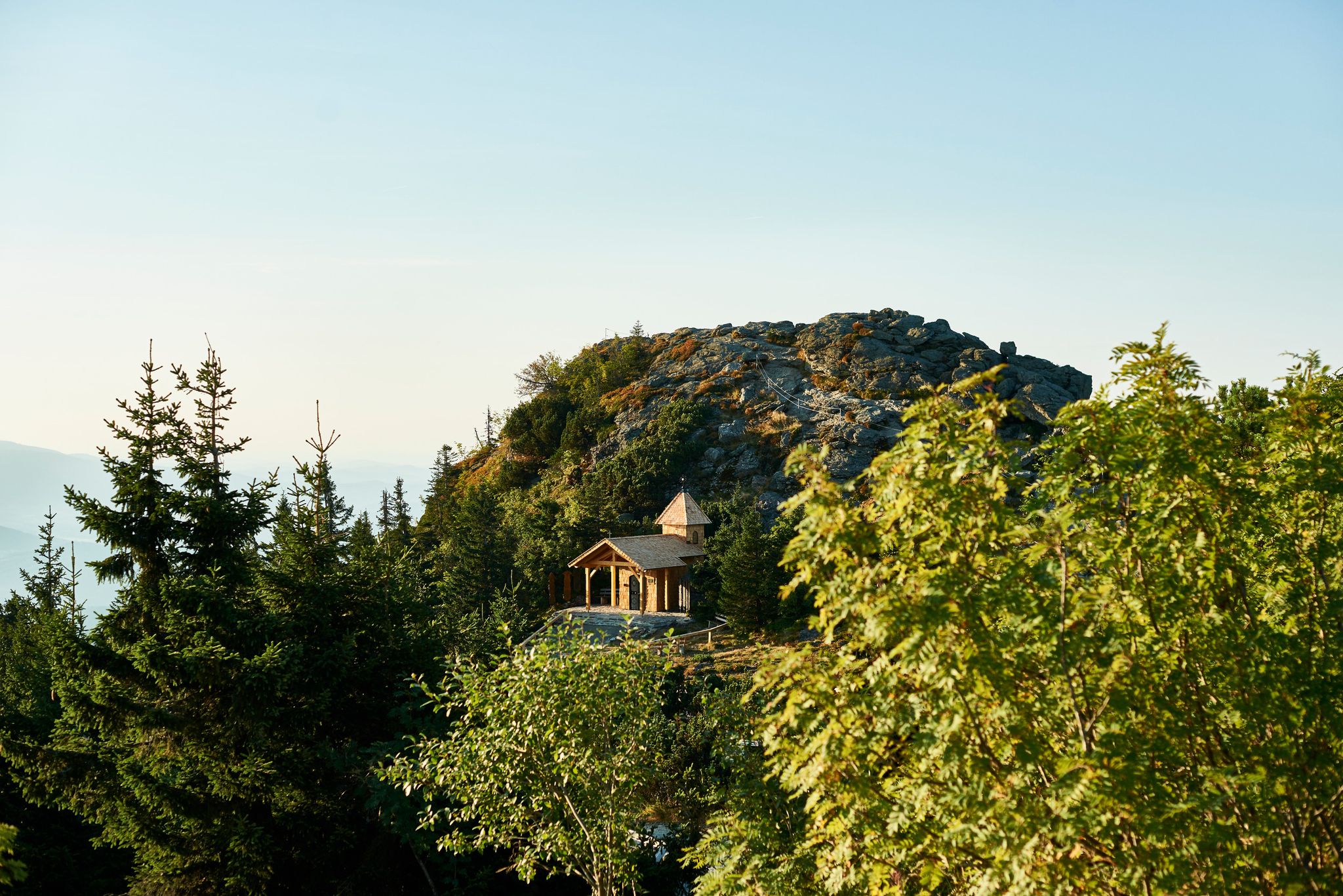
Six wonderful hikes around Bavaria’s Großer Arber
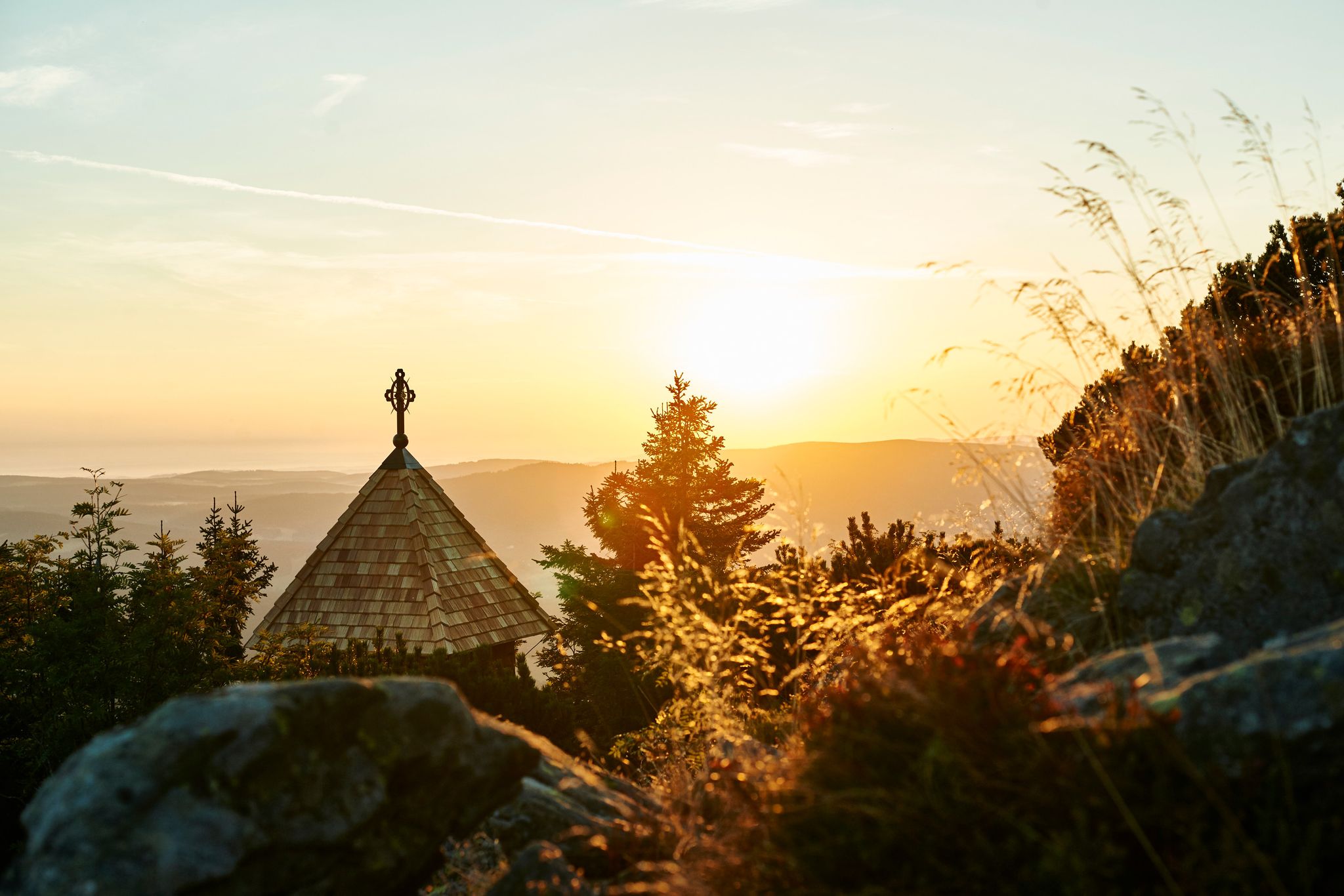
Unforgettable mountain experiences on the Großer Arber
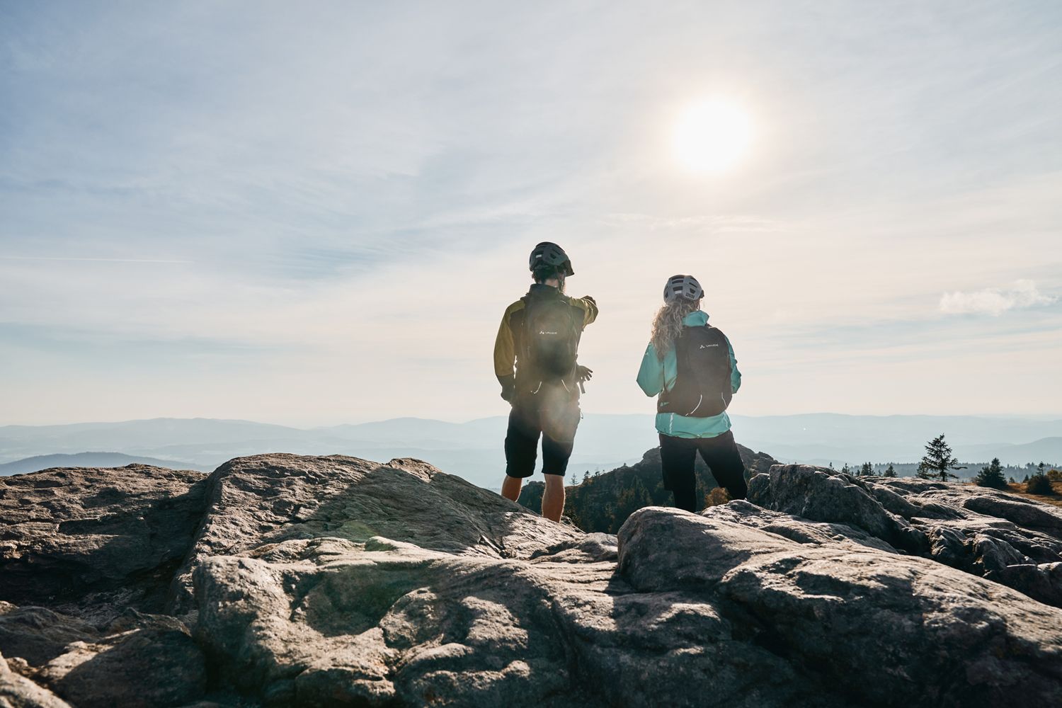
Trans Bayerwald Kurztour: Hüttentour, Romantik und wilde Natur
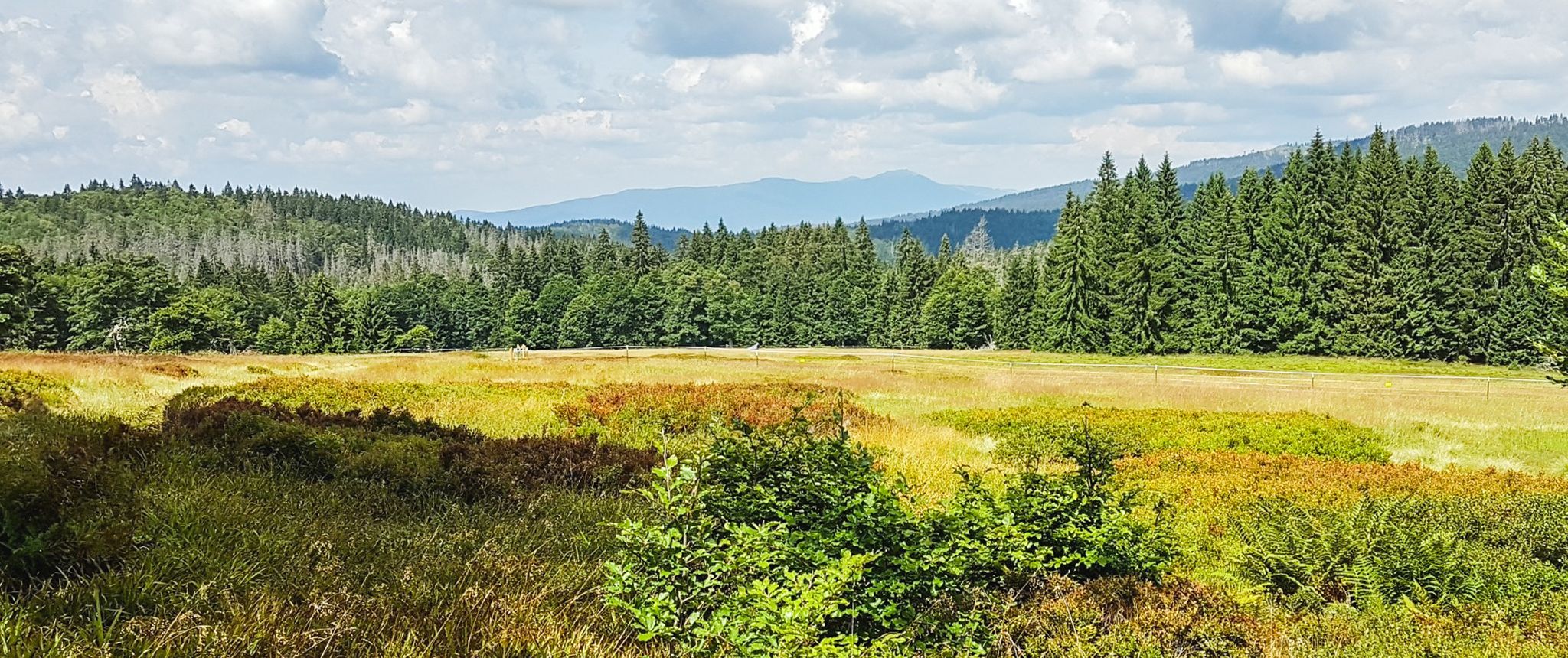
Let nature be nature – hiking in the Bavarian Forest
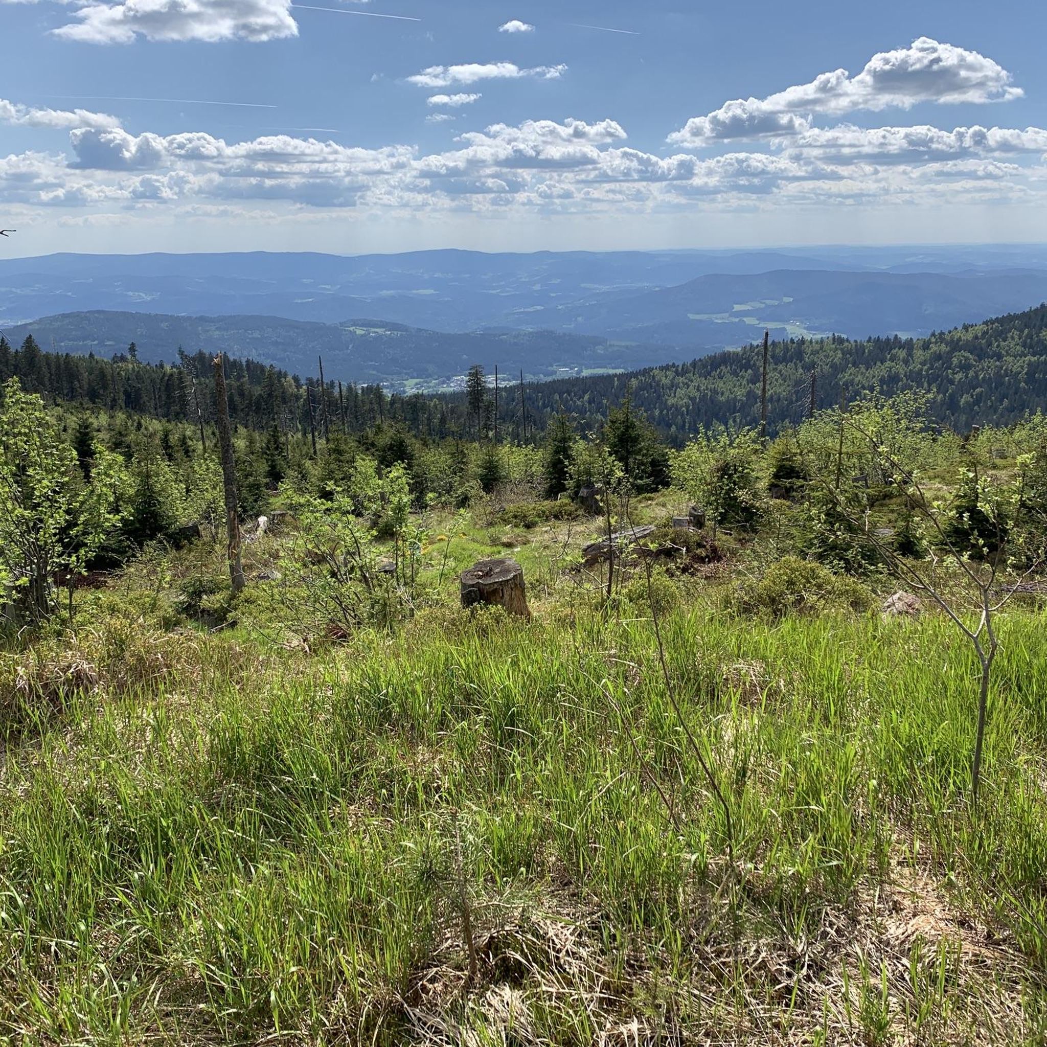
Hiking in Wildschutzgebiet Für Auerwild „Arber“
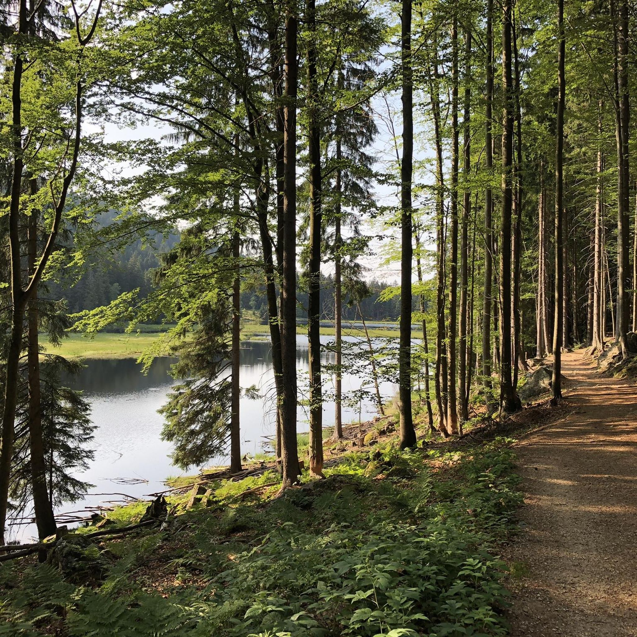
Running Trails in Wildschutzgebiet Für Auerwild „Arber“
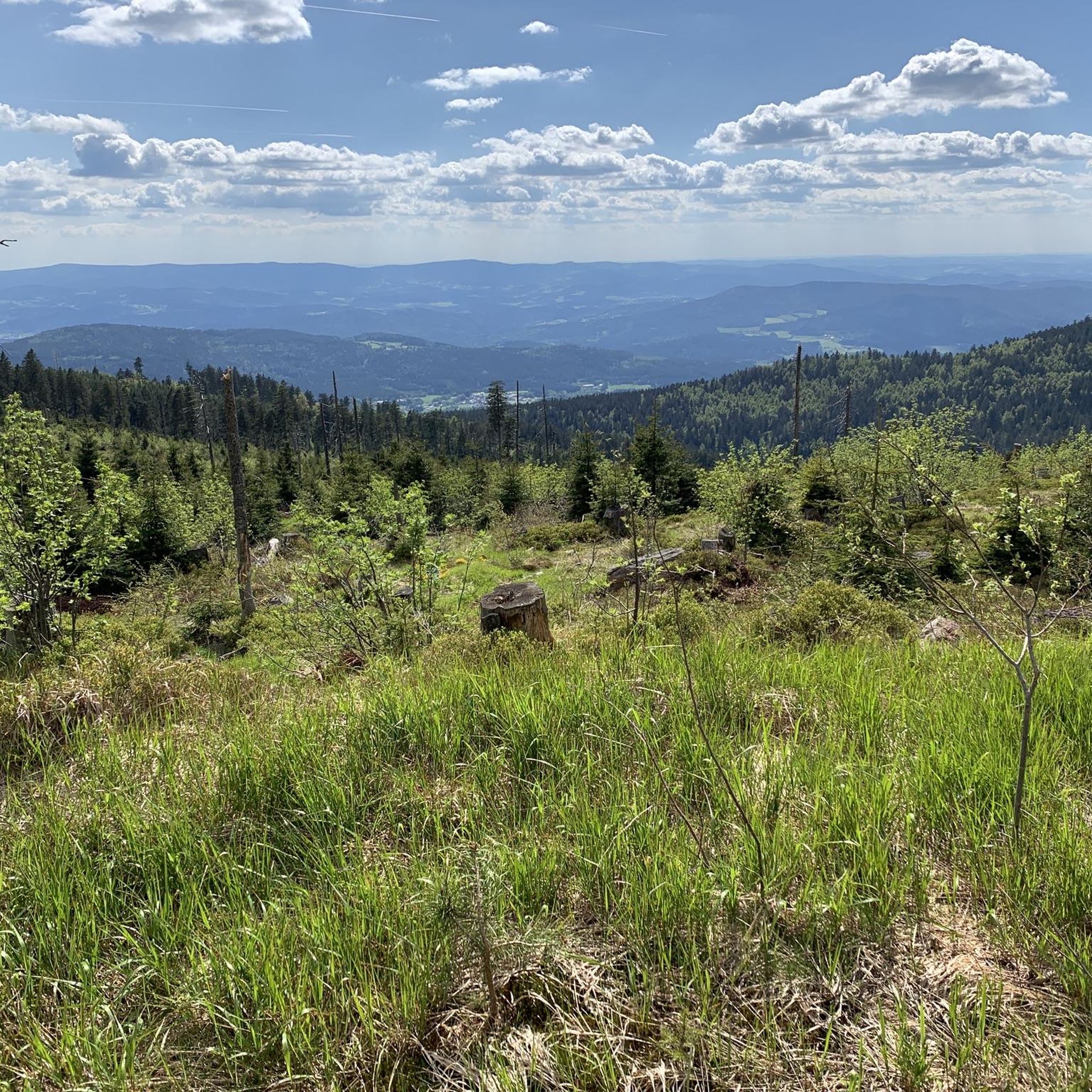
Road Cycling Routes in Wildschutzgebiet Für Auerwild „Arber“
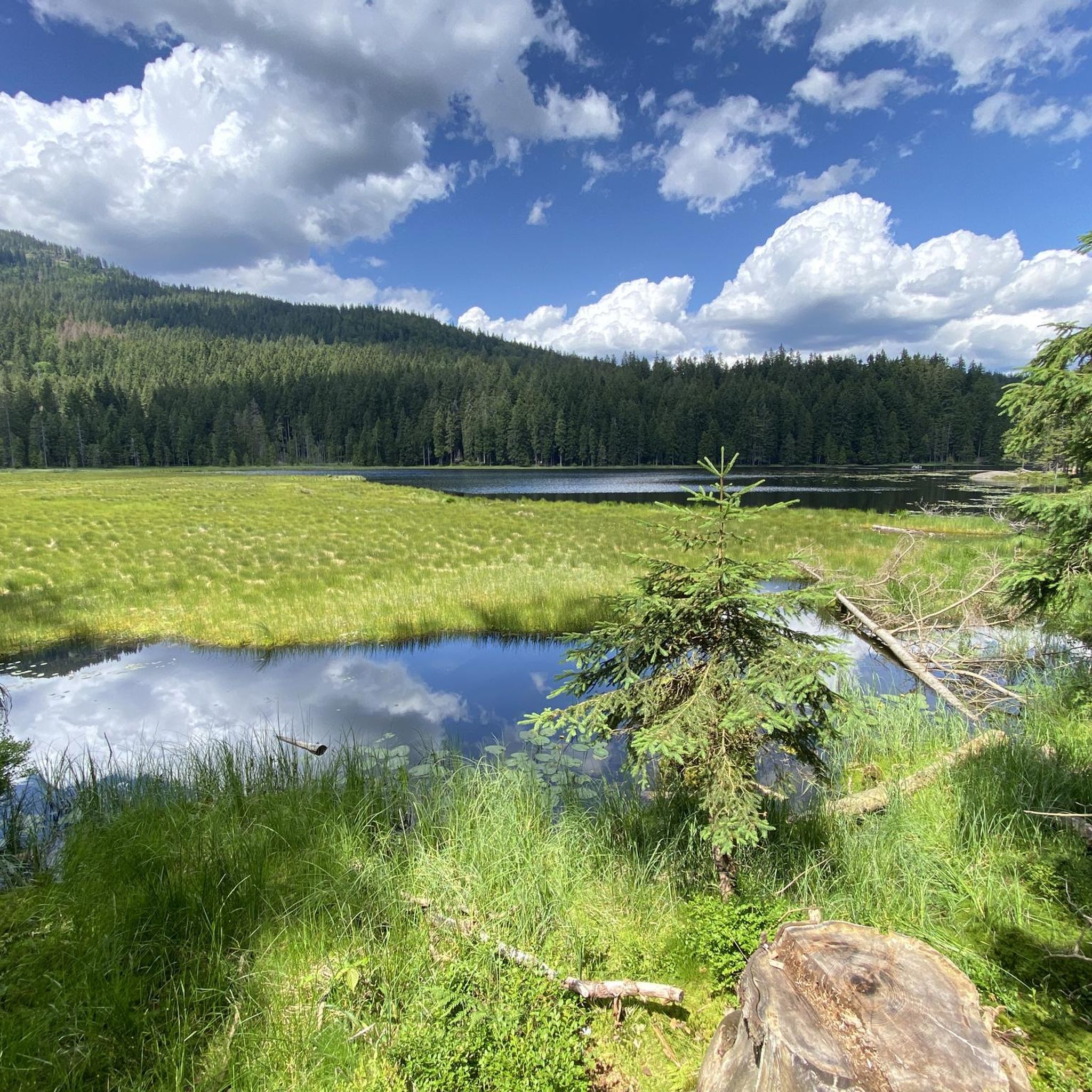
MTB Trails in Wildschutzgebiet Für Auerwild „Arber“
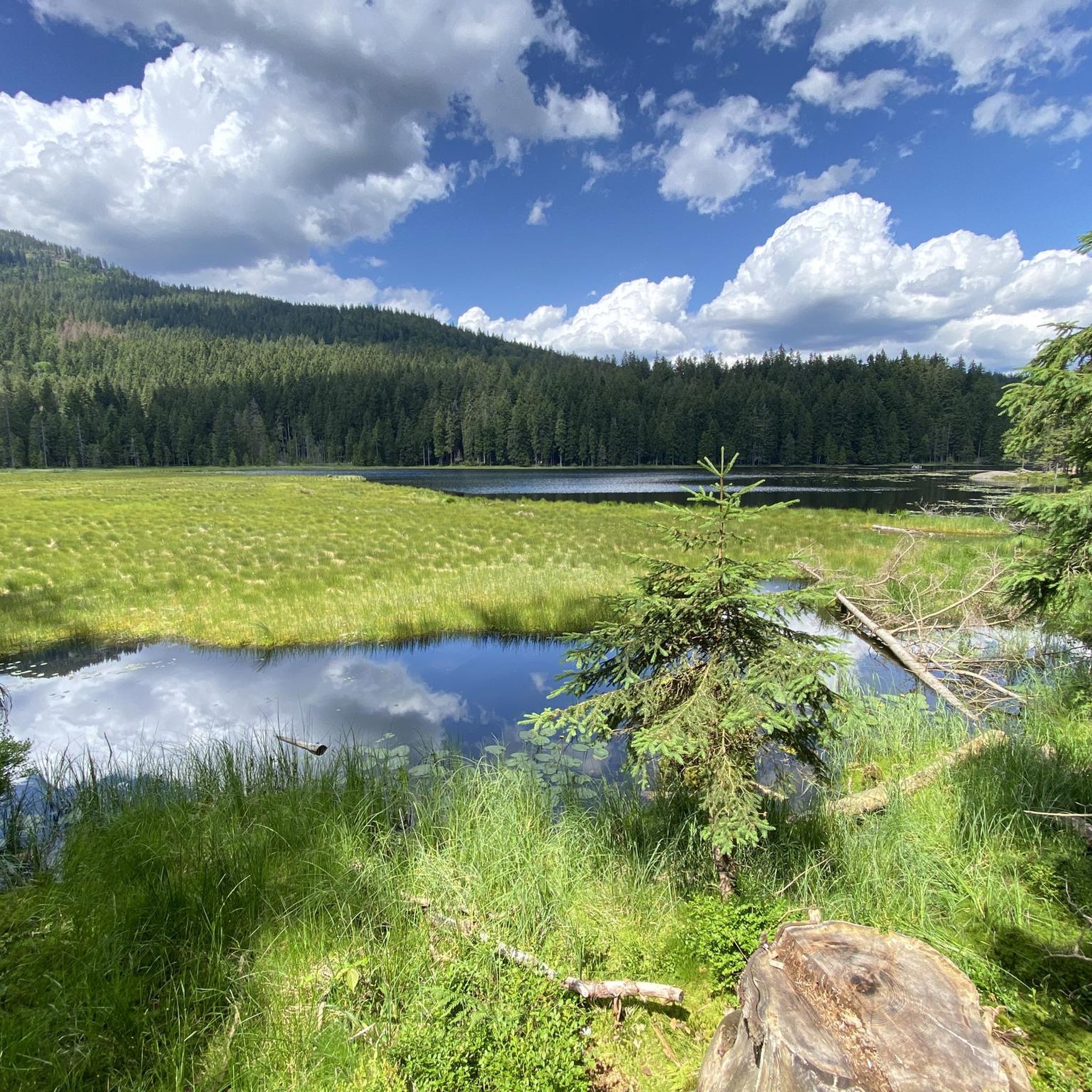
Cycling in Wildschutzgebiet Für Auerwild „Arber“
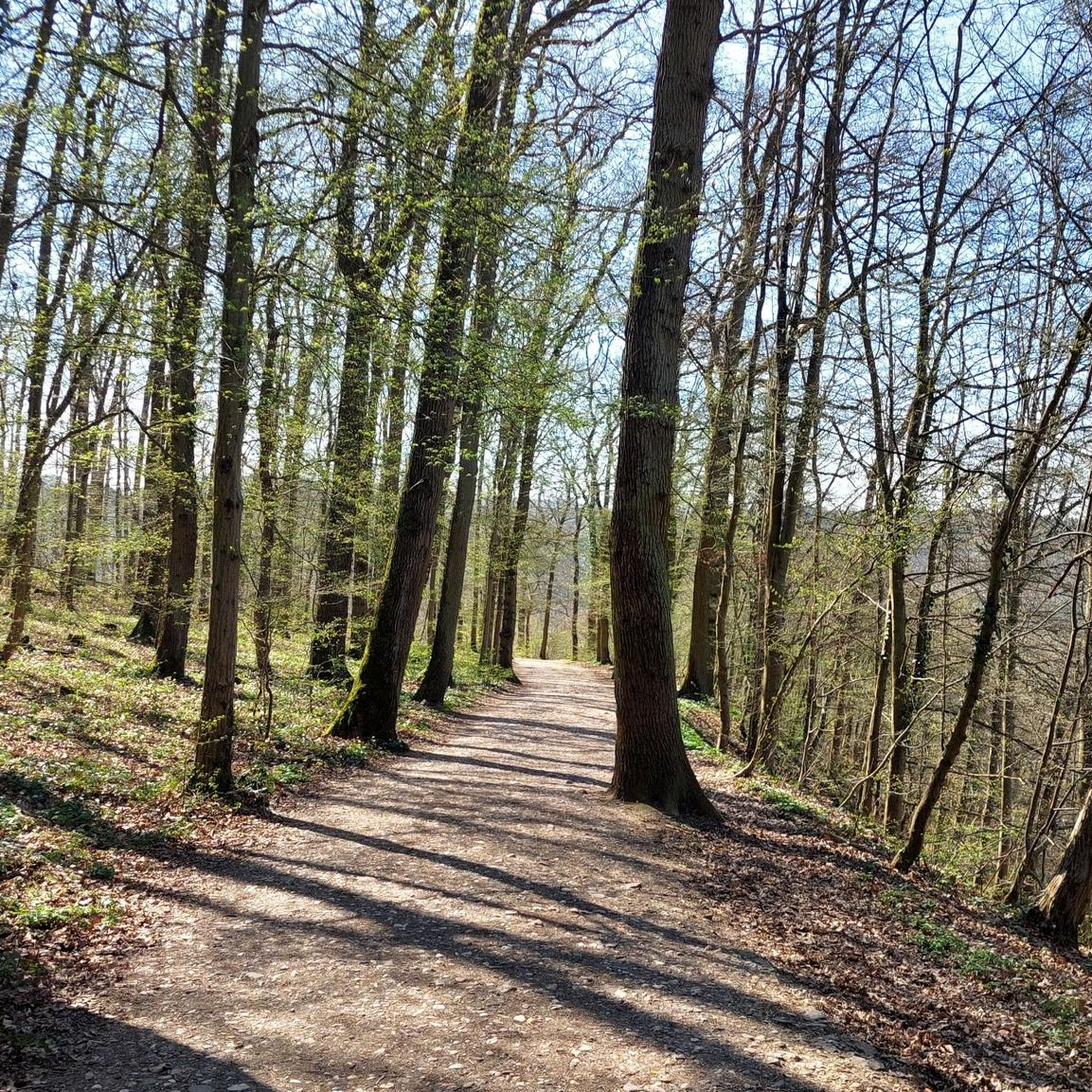
Gravel biking in Wildschutzgebiet Für Auerwild „Arber“
Other adventures in Wildschutzgebiet Für Auerwild „Arber“


Tips from the Community

A cuddly gondola is on display at Arbersee. With such a gondola, you can experience a romantic ascent and descent for two on the Großer Arber. A shared break with a magnificent panoramic view and a glass of sparkling wine per person. A special experience for couples and all those who want to enjoy unforgettable moments together.
2
0

Climbing rock with a view, you can get up on the rocks without climbing gear.
0
0

Nice photo opportunity at the large Arbersee
0
0

The Stallriegel is named as a small peak with 1228m but it has only a nice looking rock formation and no summit cross
0
0
Be careful or you will just walk past
0
0


Frequently Asked Questions
How many mountaineering routes are available in Wildschutzgebiet Für Auerwild „Arber“?
There are over 110 mountaineering routes in Wildschutzgebiet Für Auerwild „Arber“, with 70 of them classified as difficult. This variety ensures options for different skill levels, though the region is particularly known for its challenging ascents.
What are the general difficulty levels for mountaineering in the Arber region?
The Wildschutzgebiet Für Auerwild „Arber“ offers a range of mountaineering challenges. While there are some moderate routes, the region is predominantly known for its difficult trails, with 70 routes rated as such. These often involve significant elevation gain and varied terrain, requiring good fitness and sure-footedness.
Are there any family-friendly mountaineering options in Wildschutzgebiet Für Auerwild „Arber“?
While many routes are challenging, some areas offer more accessible options. For instance, the surroundings of the Großer Arbersee provide opportunities for easier walks. However, for routes involving significant elevation or technical terrain, alpine experience is recommended.
Can I bring my dog on the mountaineering trails?
Yes, dogs are generally allowed on the trails. However, due to the region being a Capercaillie Wildlife Sanctuary, a strict leash requirement is enforced year-round to protect the sensitive wildlife. Please ensure your dog remains on a leash at all times.
What kind of natural attractions can I expect to see along the mountaineering routes?
Mountaineering routes in Wildschutzgebiet Für Auerwild „Arber“ often lead past stunning natural features. You can explore the glacial Great Arber Lake with its unique floating islands, or ascend to the Kleiner Arber Summit. Many trails also traverse dense primeval forests and offer panoramic views from higher elevations.
Are there any circular mountaineering routes in the area?
Yes, there are several rewarding circular routes. One popular option is the Great Arber Lake – Arber Chapel loop from Großer Arbersee, which covers 11.6 km and takes about 4 hours to complete. Another is the Großer Arber Summit – Arber Chapel loop from Neuhütte, an 8.8 km route.
What is the best time of year for mountaineering in Wildschutzgebiet Für Auerwild „Arber“?
The best time for mountaineering is typically from late spring to early autumn. However, it's crucial to be aware of the 'Wegegebot' (path restrictions) from November 1st to June 30th. During this period, you must remain on marked paths to protect the capercaillie, especially in higher elevations.
Are there any specific regulations or permits required for mountaineering?
No specific permits are generally required for mountaineering. However, strict regulations are in place to protect the capercaillie. From November 1st to June 30th, you must stay on marked paths. Off-path activities are prohibited during this time, and dogs must be kept on a leash year-round.
Where can I find refreshments or rest stops along the trails?
Several mountain huts are available for refreshments and rest. Notable options include the Arberschutzhaus and Eisensteiner Hütte on the Großer Arber, and the Chamer Hütte near Kleiner Arber. These provide convenient stops during your mountaineering adventures.
What do other mountaineers enjoy most about the routes in Wildschutzgebiet Für Auerwild „Arber“?
The komoot community highly rates the mountaineering routes in Wildschutzgebiet Für Auerwild „Arber“, with an average score of 4.8 stars from over 180 reviews. Mountaineers often praise the breathtaking panoramic views from the Großer Arber, the unique natural features like the glacial lakes, and the challenging yet rewarding ascents through primeval forests.
Are there any routes that offer expansive views of the region?
Absolutely. The ascent to the Großer Arber summit is particularly renowned for its magnificent panoramic views, which on clear days can extend as far as the Alps. The Great Arber Lake – Arber North Summit loop from Großer Arbersee is one such route that offers expansive vistas as it ascends towards the Arber North Summit.
What is the highest point I can reach on a mountaineering route in this area?
The highest point you can reach is the summit of the Großer Arber, which stands at 1,455.5 meters (4,775 ft). This peak, known as the 'King of the Bavarian Forest,' offers unparalleled views and a unique subalpine landscape.
Most popular routes in Wildschutzgebiet Für Auerwild „Arber“
Most popular attractions in Wildschutzgebiet Für Auerwild „Arber“

Get inspired with the komoot mobile app


Explore more
Browse the best Mountain Hikes & Routes in other regions.
