Kampfmittelgefahrengebiet Brucker Forst
Kampfmittelgefahrengebiet Brucker Forst
The best walks and hikes in Kampfmittelgefahrengebiet Brucker Forst
4.5
(1496)
7,809
hikers
421
hikes
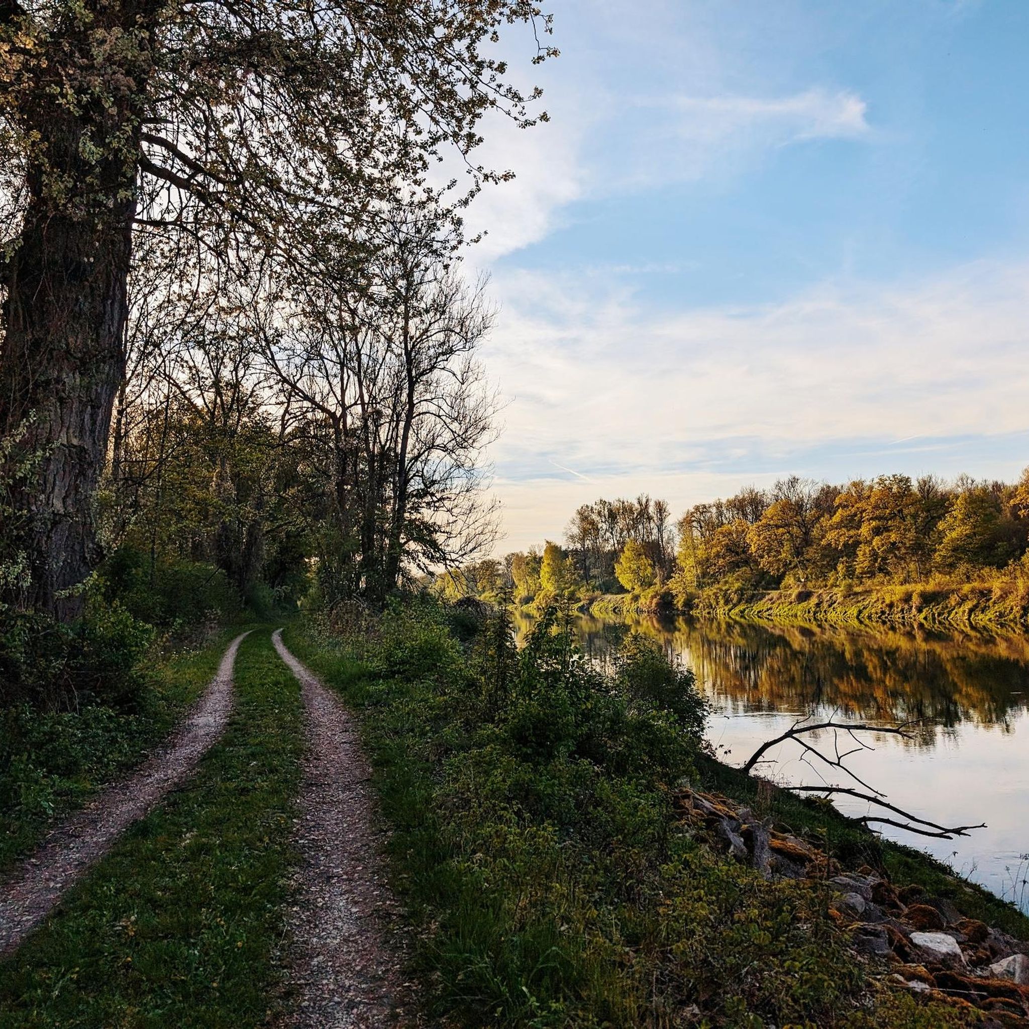
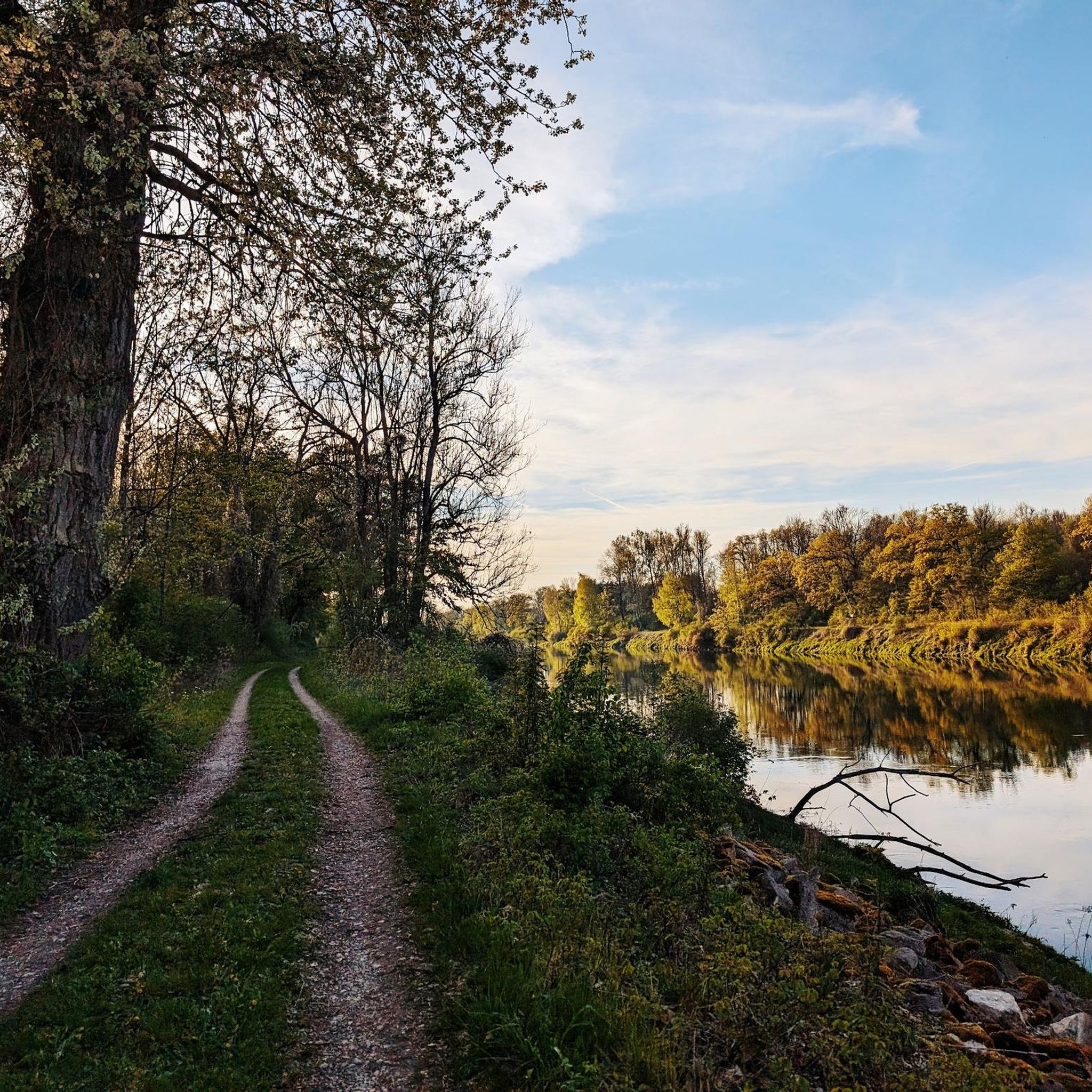
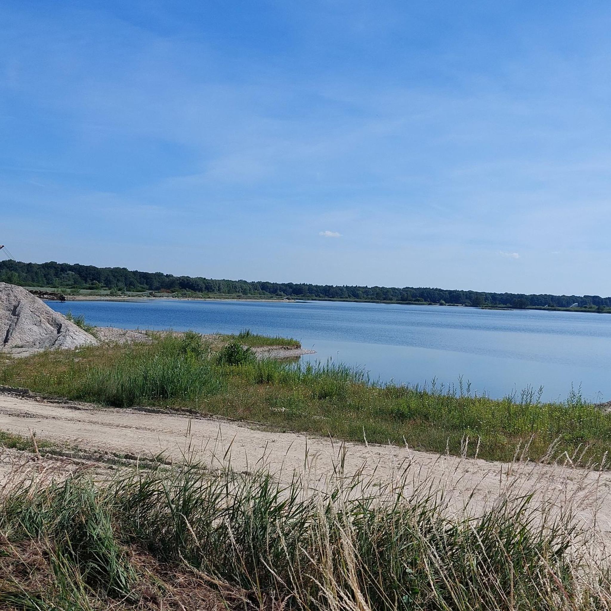
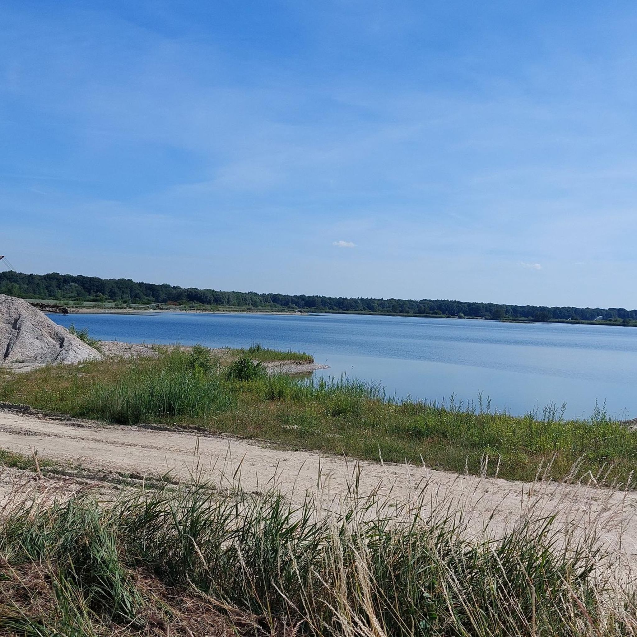
Hiking trails in Kampfmittelgefahrengebiet Brucker Forst traverse a diverse landscape within the Landkreis Neuburg-Schrobenhausen. The region features significant Danube floodplains known for their rich biodiversity, alongside extensive moorlands to the south. Hikers can also encounter forests and rivers, reflecting the broader Bavarian countryside.
Best hiking trails in Kampfmittelgefahrengebiet Brucker Forst
- The most popular hiking route is View of the Danube – View of the lake loop from Maxweiler, a 7.3 miles (11.7 km) trail that takes about 3 hours…
Last updated: August 1, 2026
5.0
(1)
7
hikers
11.7km
02:58
20m
20m
Moderate hike. Good fitness required. Easily-accessible paths. Suitable for all skill levels.
7
hikers
3.78km
00:57
0m
Easy hike. Great for any fitness level. Easily-accessible paths. Suitable for all skill levels.

Sign up for free
3
hikers
9.51km
02:26
20m
10m
Moderate hike. Good fitness required. Easily-accessible paths. Suitable for all skill levels.
4.0
(6)
46
hikers
Easy hike. Great for any fitness level. Easily-accessible paths. Suitable for all skill levels.
5.0
(2)
15
hikers
Easy hike. Great for any fitness level. Easily-accessible paths. Suitable for all skill levels.
Get access to more routes and recommendations from other explorers.
Sign up for free
Already have an account?
Our route recommendations are based on thousands of hikes, rides, and runs completed by other people on komoot.
Start today with a free account
Your next adventure awaits.
Login or Signup
Popular around Kampfmittelgefahrengebiet Brucker Forst
Tips from the Community

Bridge unfortunately no longer exists
1
0

Here you can get game from the vending machine... delicious, delicious
0
0

The bridge no longer exists
1
0

A very nice bike path
2
0


Frequently Asked Questions
Is it safe to hike in Kampfmittelgefahrengebiet Brucker Forst given its name?
The name "Kampfmittelgefahrengebiet" (unexploded ordnance danger area) refers to historical circumstances. While the area is generally promoted for hiking, it's crucial to stick to marked trails and official paths. Local authorities manage and monitor the area to ensure safety for visitors. Always observe any posted signs or warnings.
How many hiking trails are available in Kampfmittelgefahrengebiet Brucker Forst?
There are over 400 hiking trails available in Kampfmittelgefahrengebiet Brucker Forst, offering a wide variety of options for different preferences and fitness levels.
What kind of landscapes can I expect to see while hiking here?
Hikers can expect diverse landscapes characteristic of the Landkreis Neuburg-Schrobenhausen. This includes significant Danube floodplains known for their rich biodiversity, extensive moorlands to the south, and forests. The broader region also features sections of the historical Urdonautalsteig trail and borders the Franconian Alb with its distinctive rock formations.
Are there hiking trails suitable for beginners or easy walks?
Yes, the area offers many easy routes. Over 270 of the trails are classified as easy, making them perfect for beginners, leisurely strolls, or those looking for a less strenuous experience. An example is the Gut Rohrenfeld – Chapel of the Holy Communion loop from Maxweiler, an easy 2.4-mile path through tranquil natural settings.
Are there more challenging routes for experienced hikers?
While the majority of trails are easy to moderate, there are a few more challenging options. Six routes are classified as difficult, catering to experienced hikers looking for a greater physical challenge.
Are the hiking trails in Kampfmittelgefahrengebiet Brucker Forst suitable for families with children?
Yes, many trails are suitable for families. The abundance of easy and moderate routes, often leading through forests and along water bodies, provides a pleasant environment for children. Look for shorter, well-maintained paths for a family-friendly outing.
Can I bring my dog on the hiking trails?
Generally, dogs are welcome on the hiking trails in Kampfmittelgefahrengebiet Brucker Forst. However, it's always recommended to keep your dog on a leash, especially in nature protection areas or near wildlife, and to respect local regulations regarding pets.
Are there circular hiking routes available?
Yes, many of the trails in Kampfmittelgefahrengebiet Brucker Forst are designed as circular routes, allowing you to start and end at the same point. The View of the Danube – View of the lake loop from Maxweiler is a popular moderate circular trail offering scenic views.
What is the best time of year to go hiking in Kampfmittelgefahrengebiet Brucker Forst?
The best time to hike is typically from spring to autumn (April to October) when the weather is mild and the natural scenery is vibrant. Spring brings blooming flora, while autumn offers beautiful foliage. Summer is also pleasant, especially in shaded forest areas.
What do other hikers enjoy the most about hiking in Kampfmittelgefahrengebiet Brucker Forst?
The area is highly rated by the komoot community, with an average score of 4.5 stars from over 1,300 reviews. Reviewers often praise the tranquil natural settings, the diverse landscapes including Danube floodplains and forests, and the well-maintained paths suitable for various ability levels.
Are there any historical or cultural landmarks to see along the routes?
While specific highlights within the immediate Brucker Forst are limited, the broader region around Neuburg an der Donau offers historical attractions such as Neuburg Castle. Some routes, like the Gut Rohrenfeld – Chapel of the Holy Communion loop from Maxweiler, pass by historical points of interest, integrating cultural context into the natural experience.
Are there options for less crowded hiking trails?
With over 400 trails, it's possible to find less crowded options, especially on weekdays or by exploring some of the lesser-known paths. The vast network allows for a more secluded experience away from the most popular routes.
How can I get to the hiking trails using public transport?
While specific public transport connections directly to all trailheads might vary, the Landkreis Neuburg-Schrobenhausen is generally accessible by regional bus services. It's advisable to check local public transport schedules for connections to towns like Maxweiler or Rohrenfeld, which serve as starting points for several routes, such as the Avenue to Grünau Hunting Lodge – Ottheinrichbach Wooden Bridge loop from Rohrenfeld Rf.
Most popular routes in Kampfmittelgefahrengebiet Brucker Forst

Get inspired with the komoot mobile app


Explore more
Browse the best Hikes in other regions.
