The best running trails in Naturschutzgebiet Valsertal
4.8
(15)
637
runners
43
runs
Jogging routes in Naturschutzgebiet Valsertal traverse a diverse high alpine landscape, characterized by glaciated areas and prominent peaks such as Schrammacher. The Valser Bach flows through the valley, with natural meandering sections, and the terrain includes dry, largely treeless south-facing slopes and forested north-facing slopes. Runners can expect a mix of surfaces, including paved paths, loose ground, and short asphalt sections, offering varied experiences.
Best jogging routes in Naturschutzgebiet Valsertal
- The most popular jogging route is Padauner Kogel loop from…
Last updated: August 4, 2026
8
runners
6.84km
01:23
500m
500m
Hard run. Very good fitness required. Sure-footedness, sturdy shoes and alpine experience required.
4
runners
5.92km
01:16
470m
470m
Hard run. Very good fitness required. Sure-footedness, sturdy shoes and alpine experience required.

Sign up for free
11
runners
Hard run. Very good fitness required. Sure-footedness, sturdy shoes and alpine experience required.
11
runners
14.1km
01:44
590m
590m
Hard run. Very good fitness required. Mostly paved surfaces. Suitable for all skill levels.
53
runners
Hard run. Very good fitness required. Sure-footedness, sturdy shoes and alpine experience required.
Get access to more routes and recommendations from other explorers.
Sign up for free
Already have an account?
Our route recommendations are based on thousands of hikes, rides, and runs completed by other people on komoot.
Start today with a free account
Your next adventure awaits.
Login or Signup
Popular around Naturschutzgebiet Valsertal
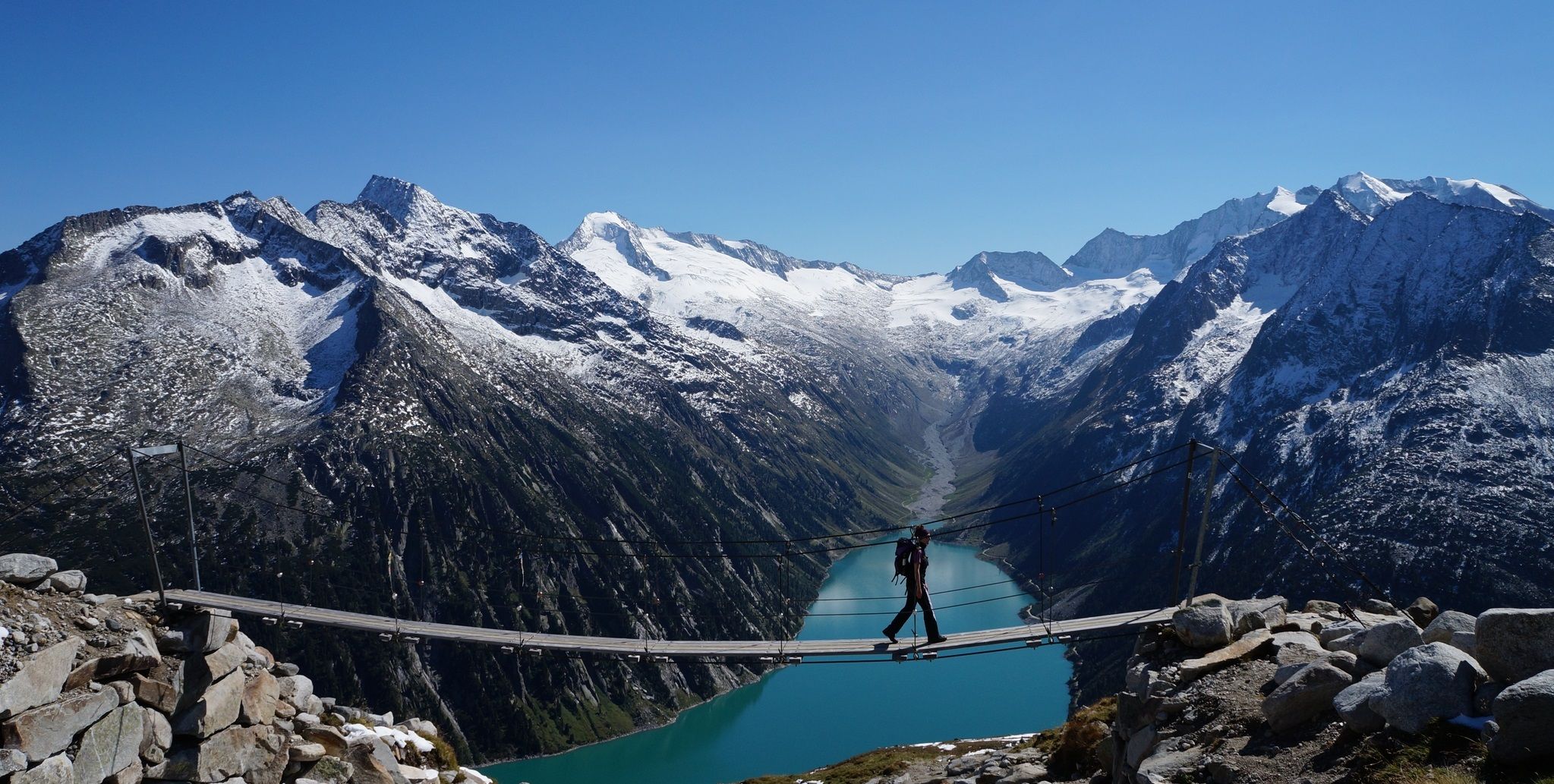
The Peter Habeler loop — an alpine trail around the Olperer
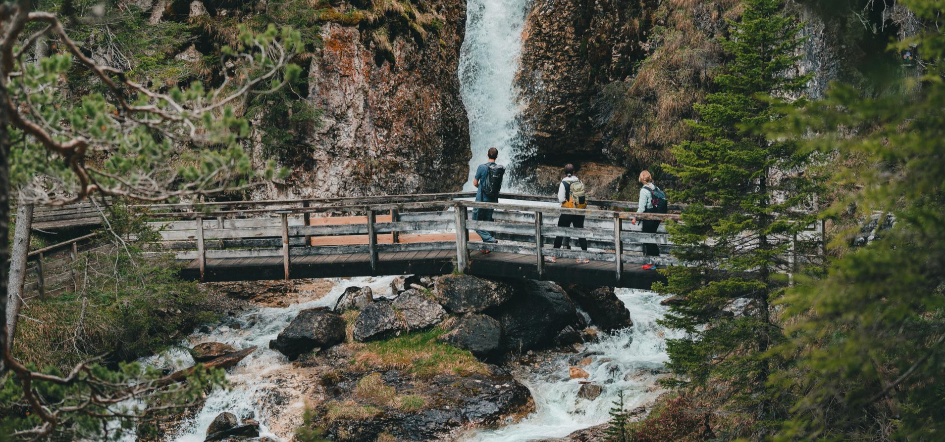
Idyllic mountain lakes and rushing waterfalls – hiking in the Wipptal
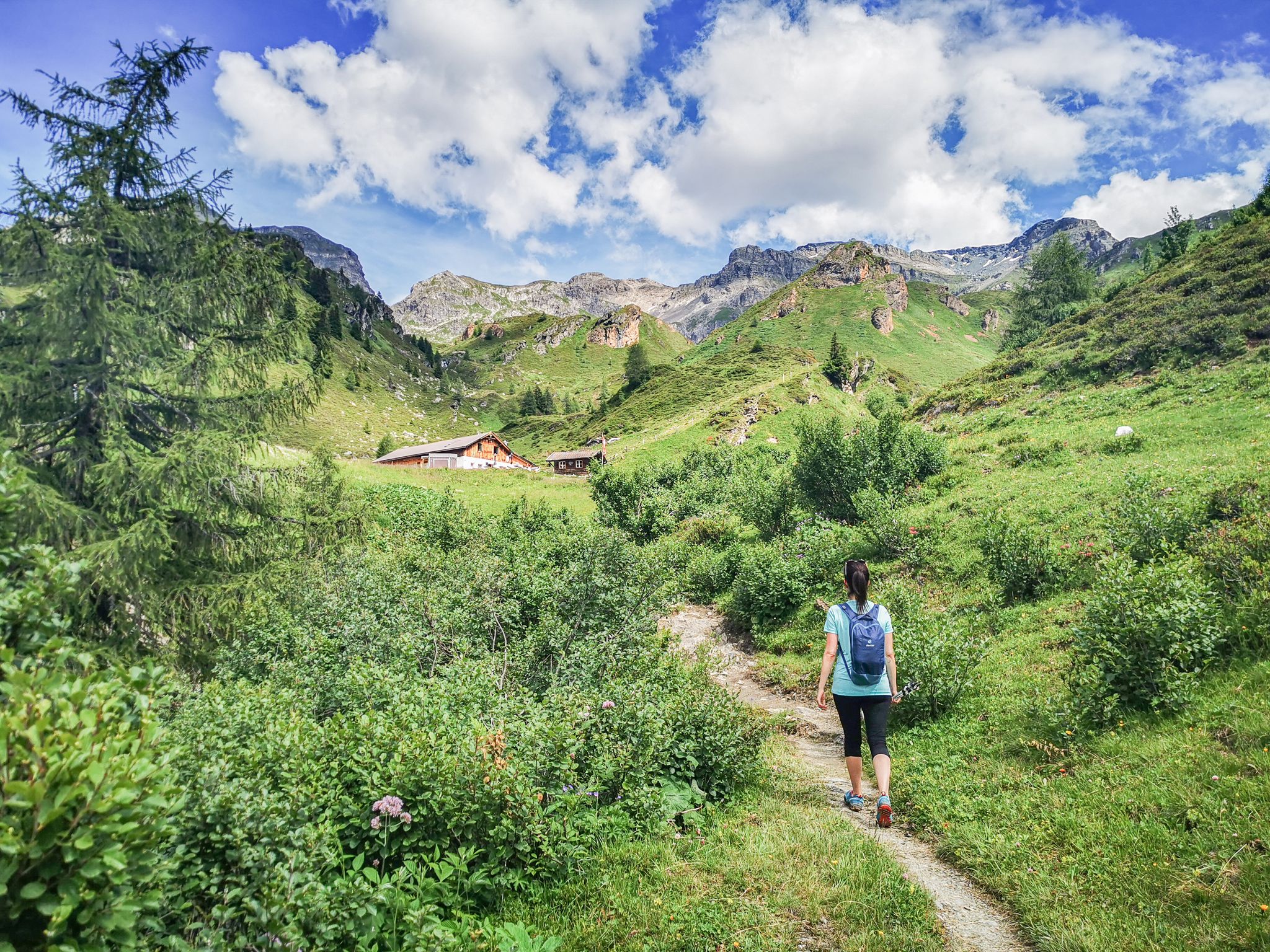
5 culinary alpine and hut hikes in Austria's Wipptal
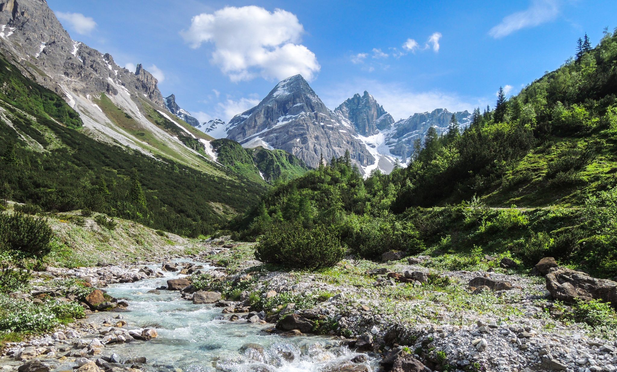
A journey of discovery in Tyrol – hidden places in the Wipptal Valley
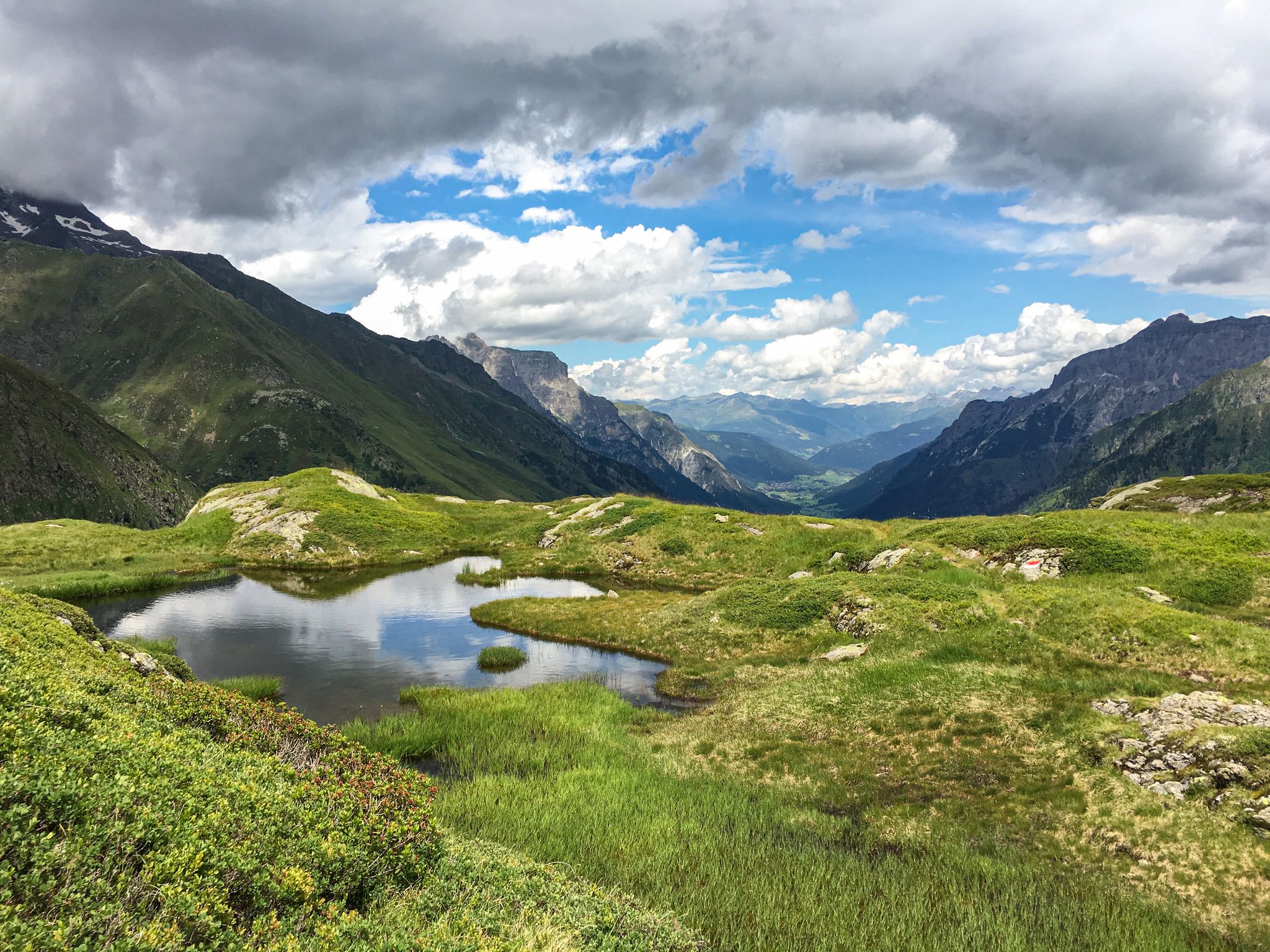
Lonely lakes and thundering waterfalls – magical places in the Wipp Valley
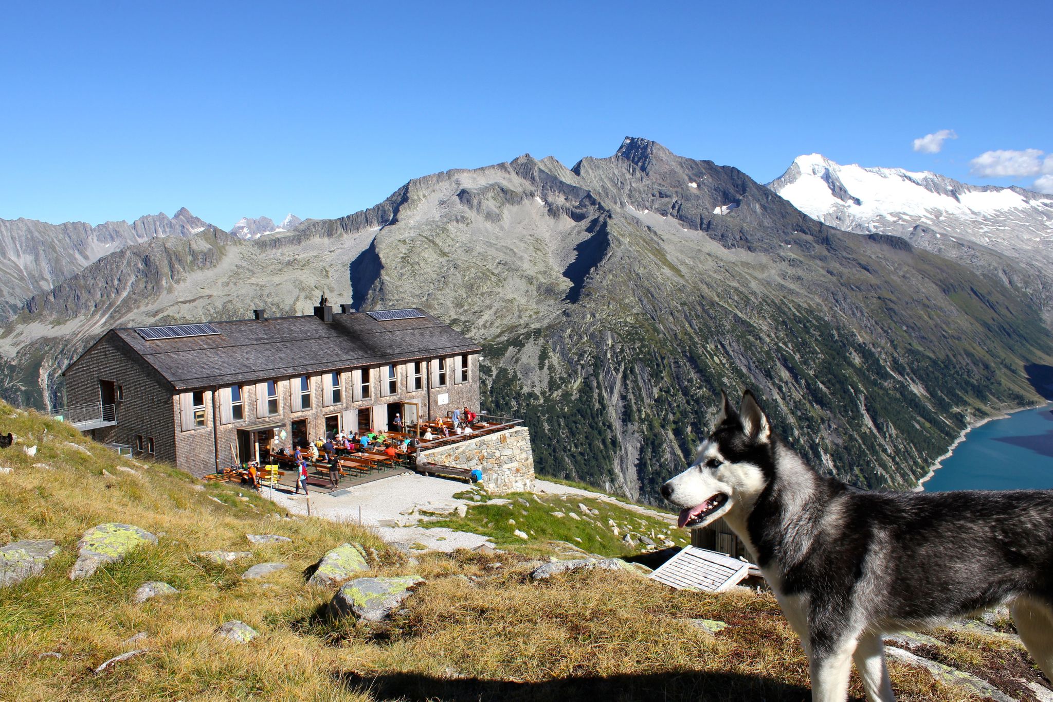
Alpine overnighters with kids
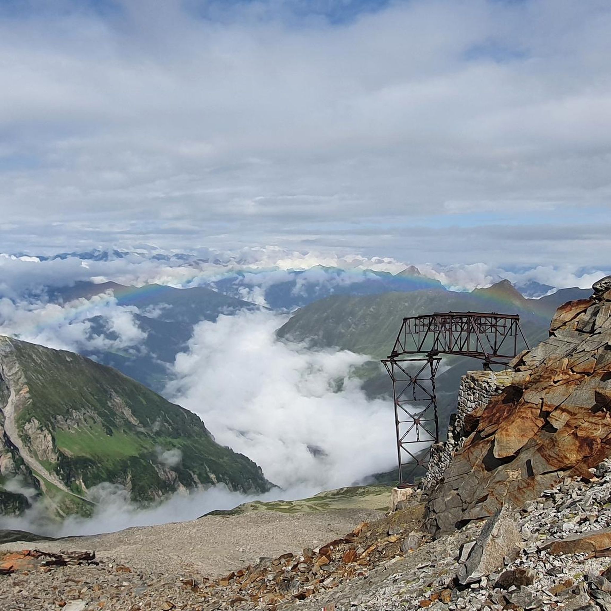
MTB Trails in Naturschutzgebiet Valsertal
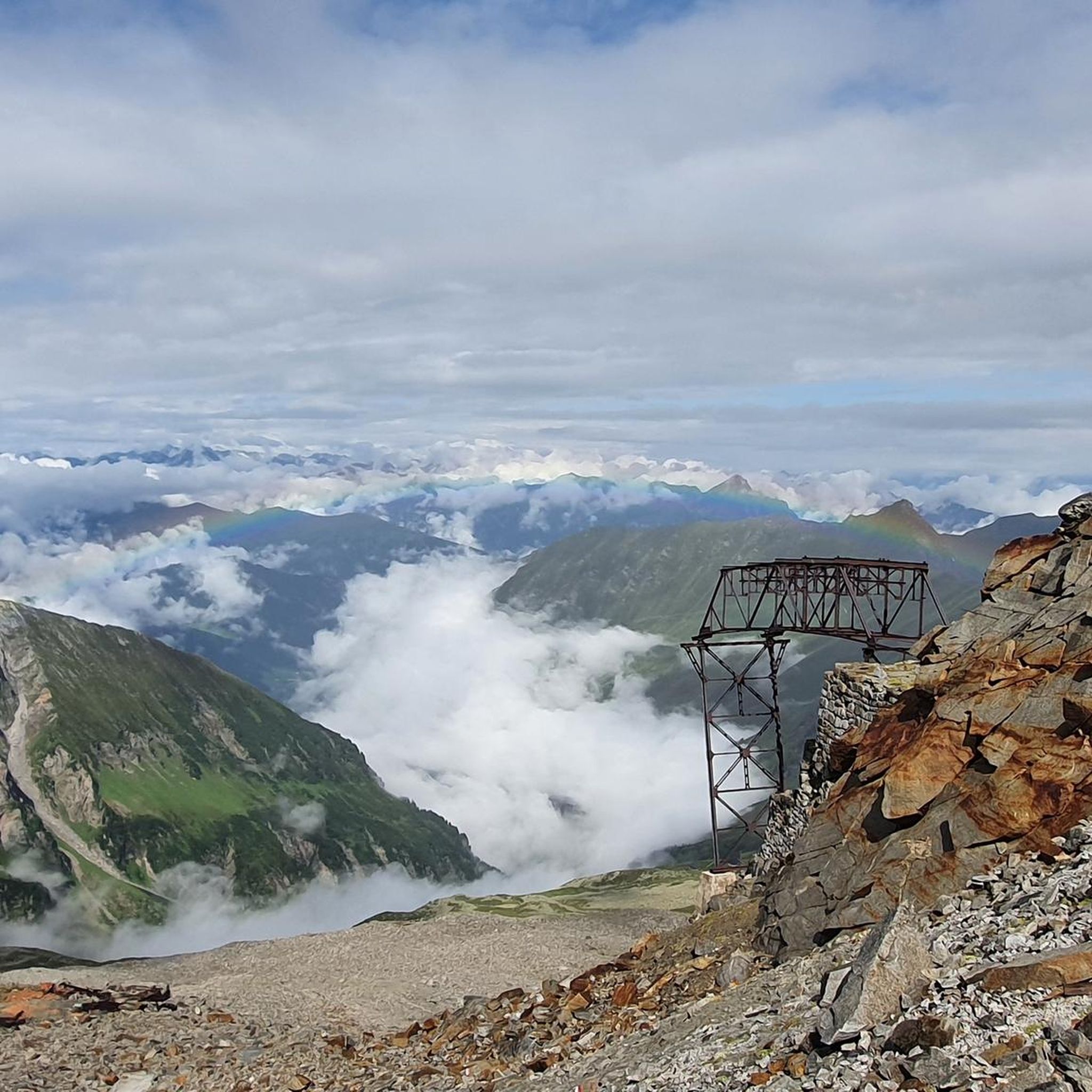
Road Cycling Routes in Naturschutzgebiet Valsertal
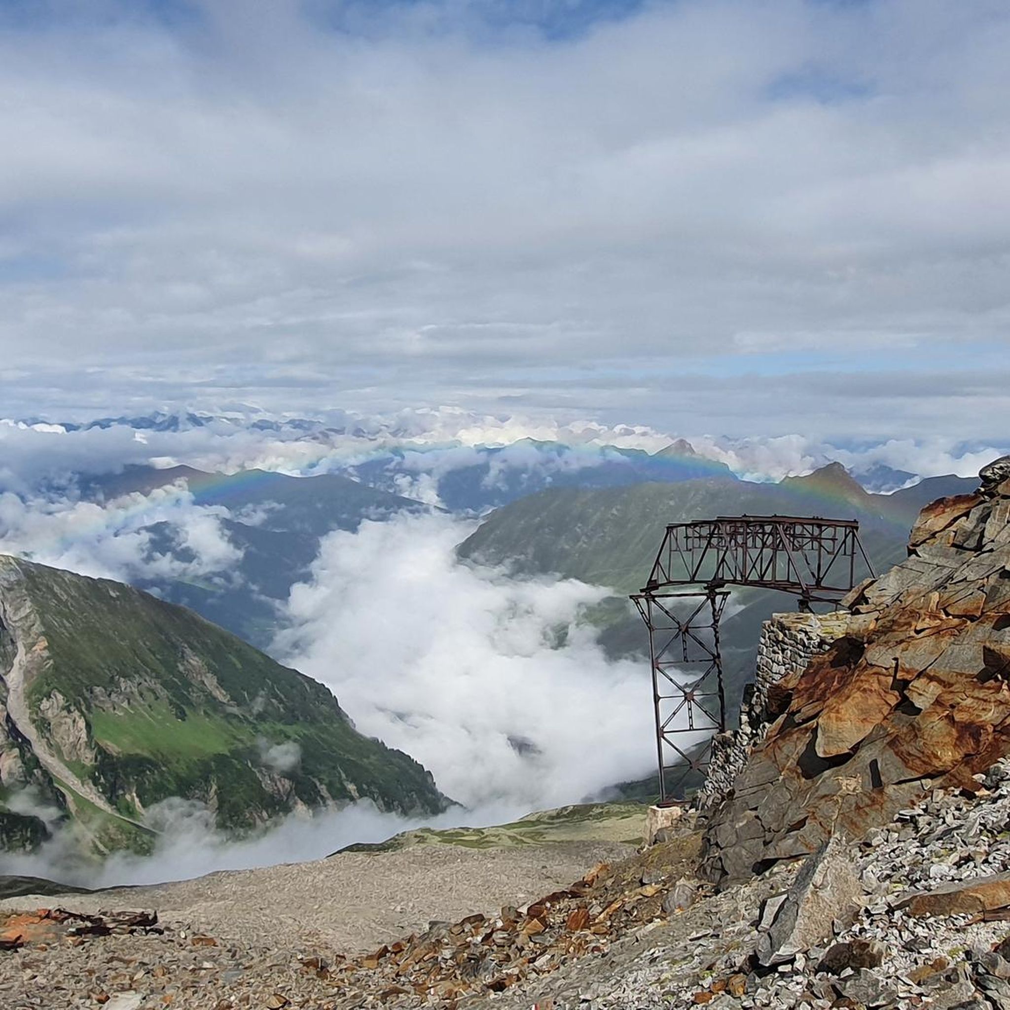
Cycling in Naturschutzgebiet Valsertal
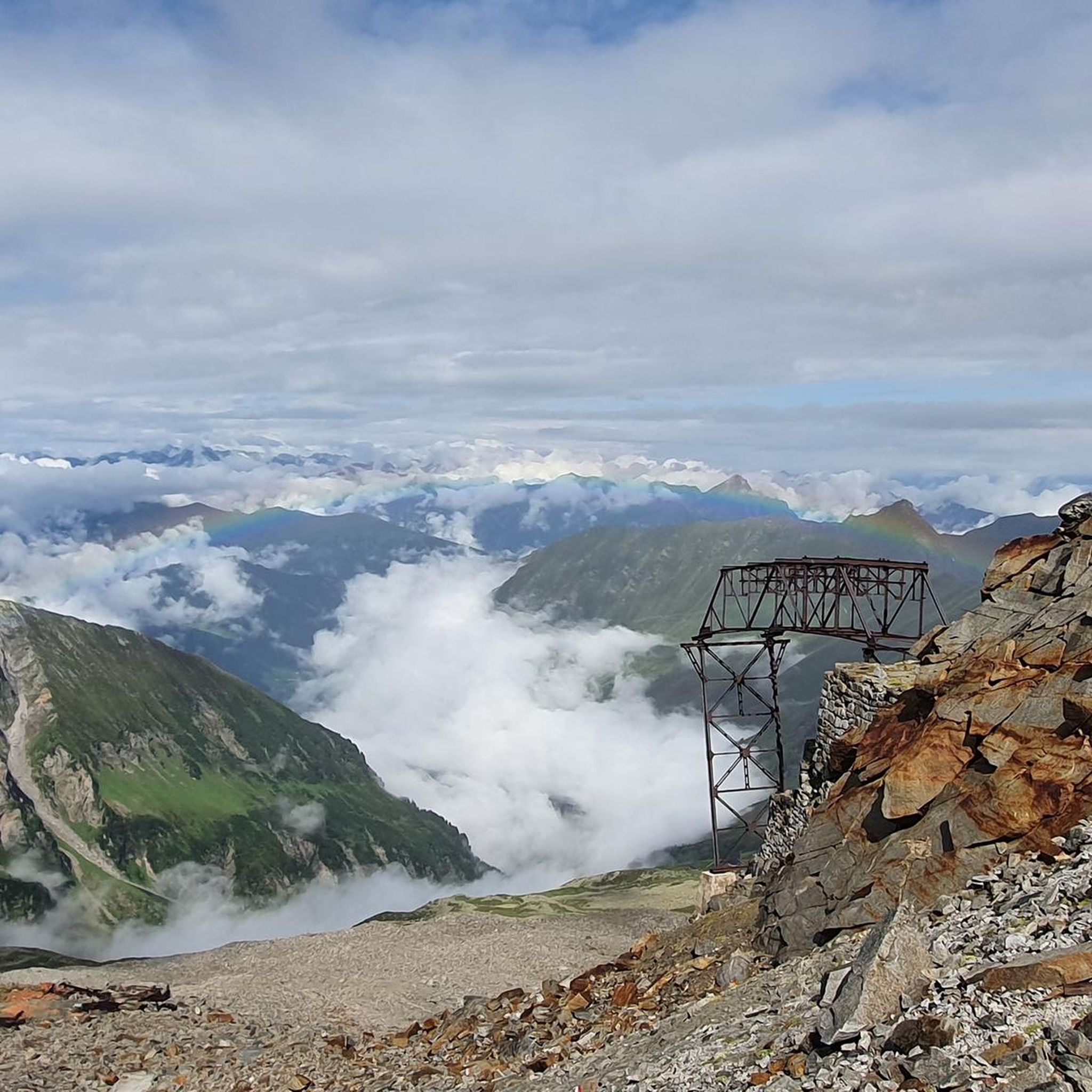
Hiking in Naturschutzgebiet Valsertal
Other adventures in Naturschutzgebiet Valsertal


Tips from the Community

Along the hiking trail through the Zamsergrund, there is a rest area with a rustic seating area, where you can enjoy a magical view of the Unterschrammach waterfall, surrounded by a romantic mountain landscape – a natural spectacle like no other.
6
0
The Zamserbach stream flows through the Pfitscherjoch with its enchanting waterfall, a wonderful natural spectacle.
12
0

Very nice view of the Brenner and Italy
0
0

The Rifugio Passo di Vizze is located at 2,276 meters above sea level on the Italian-Austrian border, in the Ötztal Alps. It offers a refreshment service with typical cuisine and the possibility of overnight stays. It is open seasonally and for updated information on opening periods and reservations, we recommend visiting the official website of the refuge: www.pfitscherjochhaus.com
1
0

Very worth seeing, you have to see it
0
0
Very worth seeing, you have to see it
0
0
Very worth seeing, you have to see it
0
0
Very worth seeing, you have to see it
2
0
Frequently Asked Questions
How many running routes are available in Naturschutzgebiet Valsertal?
You'll find over 30 dedicated running routes in Naturschutzgebiet Valsertal, offering a wide range of experiences for all fitness levels. These include 2 easy, 10 moderate, and 22 difficult trails.
Are there easy running routes suitable for beginners or casual joggers?
Yes, Naturschutzgebiet Valsertal offers a few easy running routes, typically up to 5 kilometers with minimal elevation gain, perfect for beginners or those seeking a relaxed jog. For example, the Biotop Grafau loop from Boar is a moderate option that is relatively flat.
What kind of terrain can I expect on the jogging trails in Valsertal?
The running routes in Naturschutzgebiet Valsertal feature a harmonious blend of surfaces. You can expect a mix of paved paths, loose ground, and short asphalt sections, traversing diverse high alpine landscapes, glaciated areas, and forested slopes.
Are there any running routes that feature waterfalls or scenic water features?
Yes, the region is known for its 'lonely lakes and thundering waterfalls.' You can explore routes like the Zamserbach Waterfall – Pfitscherjoch Border Crossing loop from Schlegeisspeicher, which leads through varied mountain scenery and includes a waterfall.
What are some notable landmarks or points of interest I might see along the running routes?
While jogging, you might encounter several interesting points. The Geraer Hut and Nocker Alm are idyllic alpine pastures and huts where you can rest. You can also find the historical Ruins of the Alpeiner Scharte Molybdenum Mine, offering a glimpse into the region's past.
Are there any circular running routes in Naturschutzgebiet Valsertal?
Yes, many of the running routes in Naturschutzgebiet Valsertal are designed as loops, allowing you to start and finish at the same point. Examples include the Padauner Kogel loop from Außervals and the San Giacomo in Pfitsch Valley – Pfitscherjoch Border Crossing loop from Biotop Sanderau.
What do other runners enjoy most about jogging in Naturschutzgebiet Valsertal?
The area is highly rated by the komoot community, with an average score of 4.8 stars from over 10 reviews. Runners often praise the stunning high alpine terrain, the diverse natural beauty, and the well-maintained network of paths that cater to various fitness levels.
Are the running trails in Naturschutzgebiet Valsertal suitable for families with children?
While many routes are challenging, there are easier trails up to 5 kilometers and 100 meters elevation that could be suitable for families. It's best to check the specific route details for difficulty and length to ensure it matches your family's capabilities.
Is it possible to reach the trailheads using public transport?
The Valsertal region is generally accessible, and while specific public transport options to every trailhead may vary, the area is part of a 'mountaineering village' network, suggesting efforts to connect visitors to outdoor activities. It's advisable to check local bus schedules for connections to Vals and surrounding areas.
Are there specific rules or considerations for jogging with dogs on the trails?
While the region is generally welcoming to outdoor enthusiasts, specific rules regarding dogs, such as leash requirements or restricted areas, may apply within the Naturschutzgebiet. It's recommended to check local regulations or signage at trailheads to ensure a pleasant experience for everyone.
What is the best time of year for running in Naturschutzgebiet Valsertal?
The Valsertal offers diverse conditions throughout the year. The warmer months, from late spring to early autumn, are generally ideal for running, providing pleasant temperatures and clear trails. However, the high alpine terrain means conditions can change rapidly, so always check the weather forecast before heading out.
Are there options for longer, more challenging running routes?
Absolutely. For experienced runners seeking a challenge, Naturschutzgebiet Valsertal offers numerous difficult routes over 15 kilometers or with significant elevation gain. An example is the Sattelberg Summit loop from Gries am Brenner, a demanding 31.7 km trail with over 1300 meters of elevation.
Most popular routes in Naturschutzgebiet Valsertal
Most popular attractions in Naturschutzgebiet Valsertal

Get inspired with the komoot mobile app


Explore more
Browse the best Running Trails & Routes in other regions.
