The best MTB trails in Naturschutzgebiet Krakau-Schöder
4.4
(107)
346
riders
22
rides
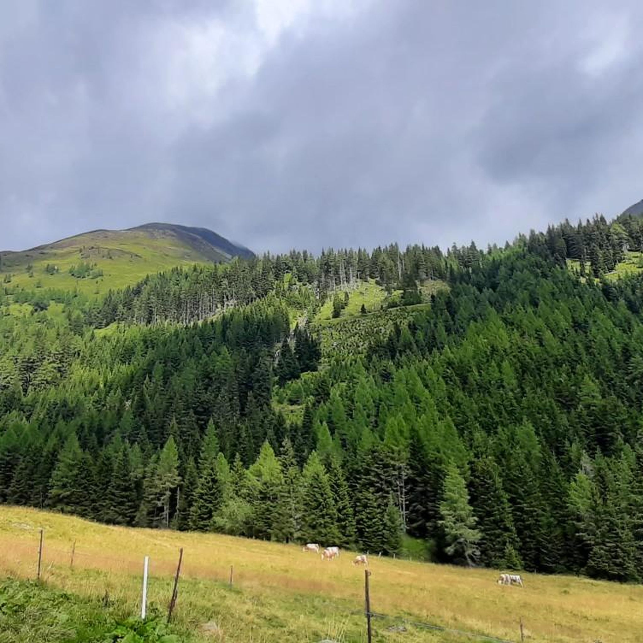
Mountain biking in Naturschutzgebiet Krakau-Schöder offers diverse mountainous landscapes within the Schladminger Alpen, featuring peaks, alpine pastures, and extensive forests. The region ranges in elevation from approximately 1,300 to 2,740 meters above sea level, providing varied ascents and panoramic views. Pristine mountain lakes like Etrachsee, Prebersee, and Schattensee enhance the scenery, often serving as focal points for routes. The terrain includes ancient forests, gentle pastures, and areas with distinctive rock formations.
Best mountain bike trails in Naturschutzgebiet Krakau-Schöder
- The most…
Last updated: November 8, 2026
4.6
(8)
29
riders
22.9km
01:45
560m
560m
Moderate mountain bike ride. Good fitness required.
10
riders
12.8km
01:02
300m
300m
Moderate mountain bike ride. Good fitness required.

11.3km
01:21
470m
470m
Hard mountain bike ride. Good fitness required. Advanced riding skills necessary. Some portions of the route may require you to push your bike.
3.0
(1)
7
riders
6.95km
00:56
410m
400m
Hard mountain bike ride. Good fitness required. Advanced riding skills necessary. Some portions of the route may require you to push your bike.
4.8
(8)
36
riders
55.6km
04:37
1,400m
1,400m
Hard mountain bike ride. Very good fitness required.
Get access to more routes and recommendations from other explorers.
Already have an account?
Our route recommendations are based on thousands of hikes, rides, and runs completed by other people on komoot.
Start today with a free account
Your next adventure awaits.
Popular around Naturschutzgebiet Krakau-Schöder
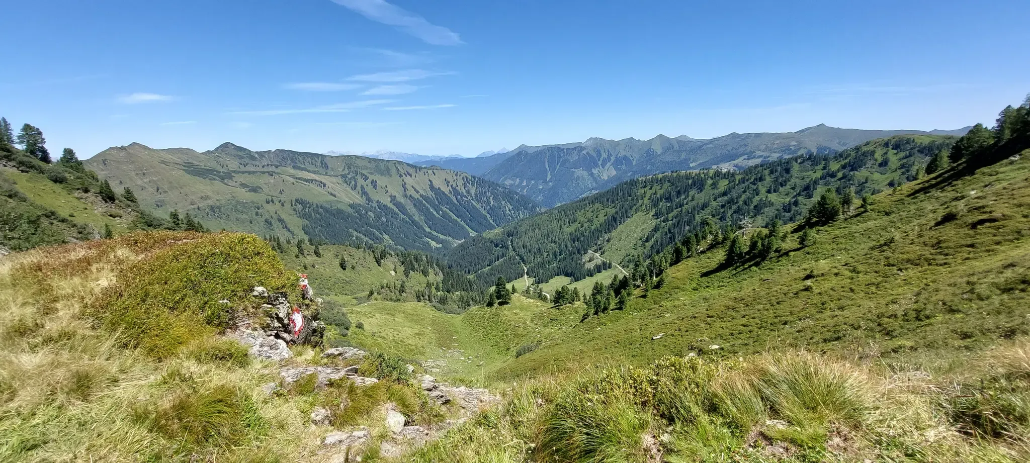
Central Alps Trail Eastern Section – Discover Austria
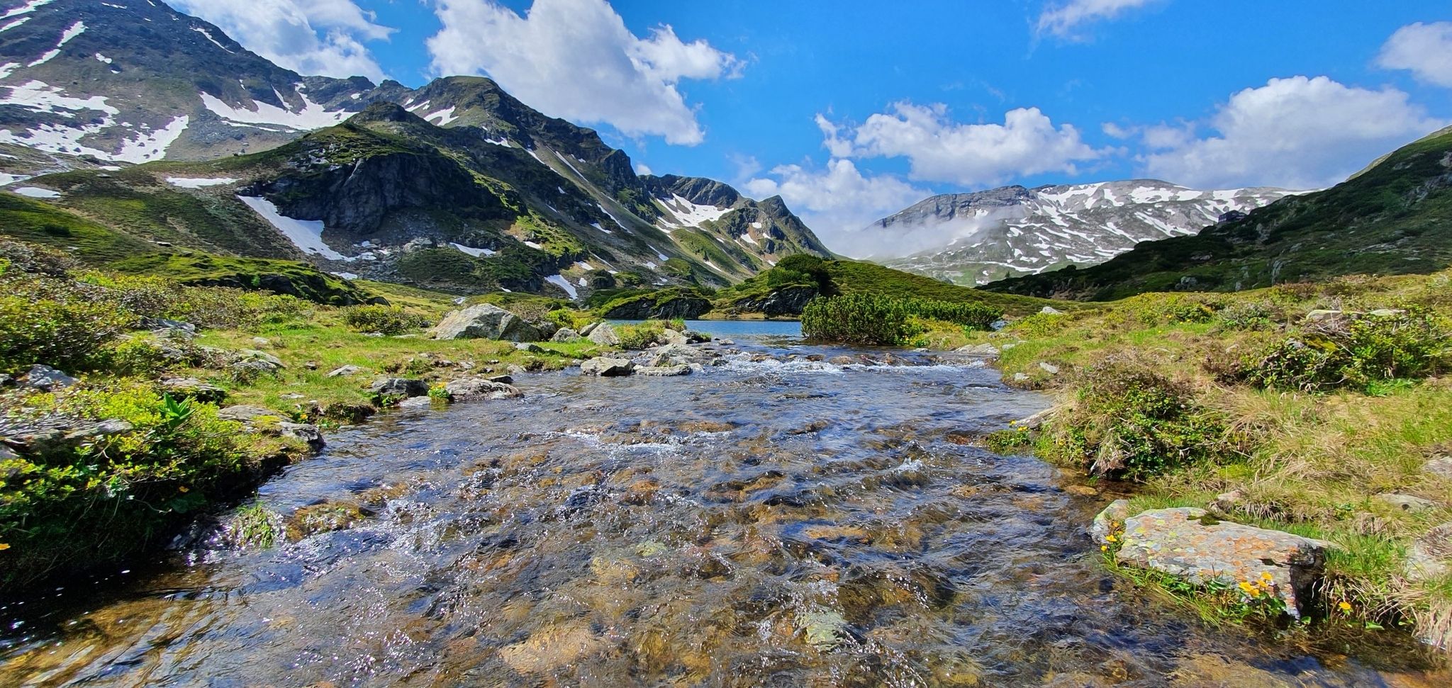
Schladminger Tauern High Altitude Trail – 7 days of great hiking in Austria
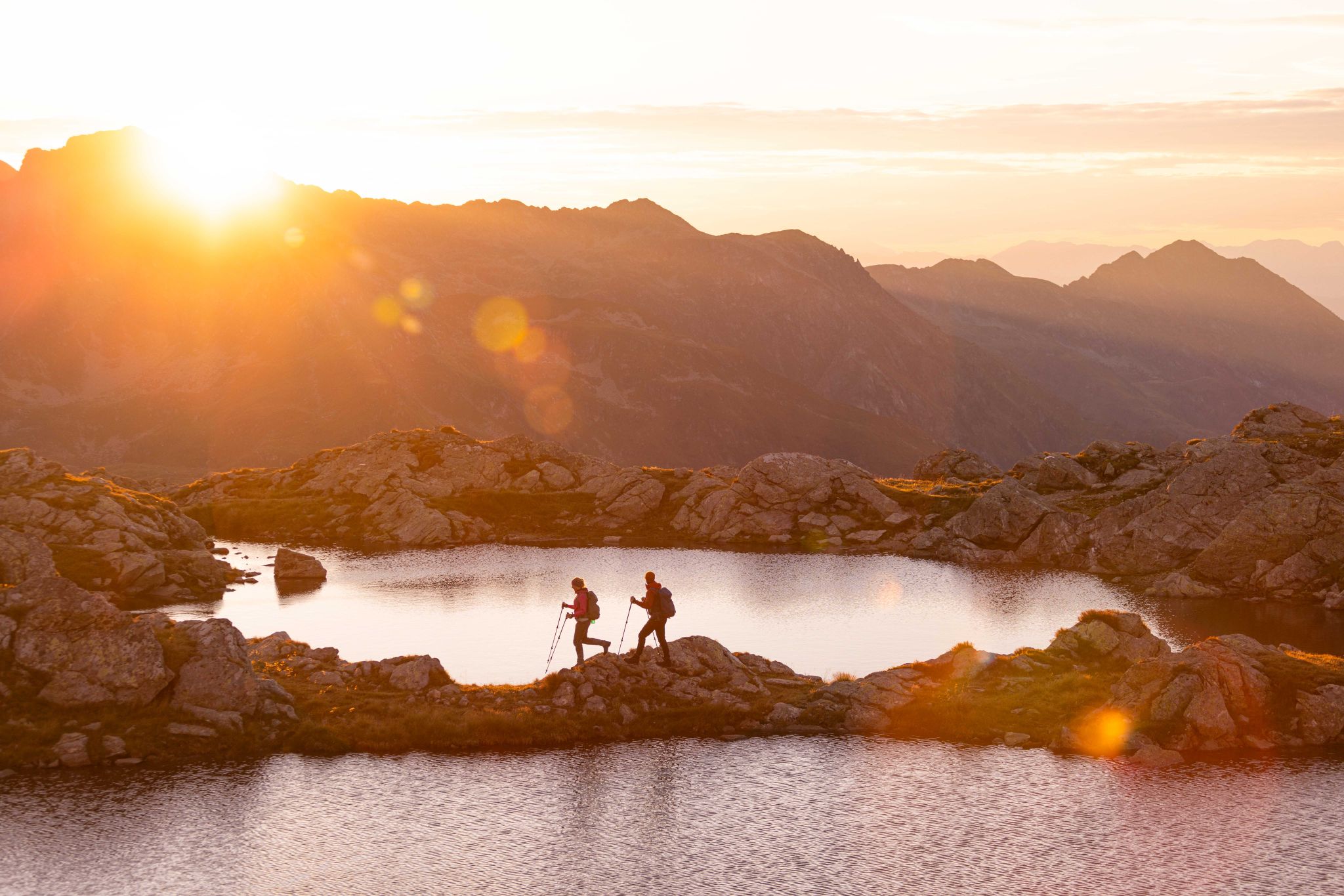
Huts, lakes, streams and panoramas on the Schladminger Tauern High Trail
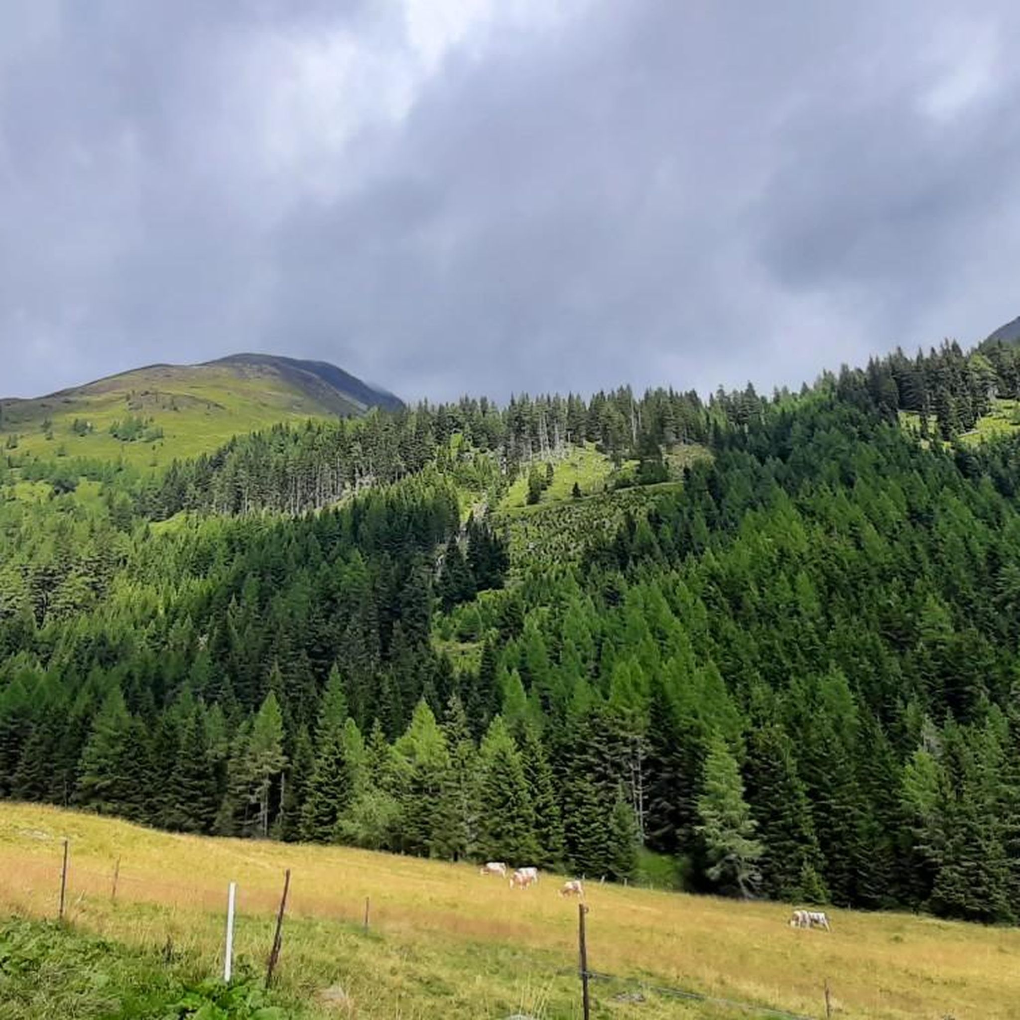
Road Cycling Routes in Naturschutzgebiet Krakau-Schöder

Cycling in Naturschutzgebiet Krakau-Schöder
Hiking in Naturschutzgebiet Krakau-Schöder

Mountain Hikes in Naturschutzgebiet Krakau-Schöder

Running Trails in Naturschutzgebiet Krakau-Schöder
Other adventures in Naturschutzgebiet Krakau-Schöder


Tips from the Community

Very nice tour By bike from the sawmill to Rantensee, back to the Ebenhandlhütte (highly recommended) further out to the "Bahnhof" and on to the sawmill (approx. 20km in total).
0
0

Fischerhütte am Schattensee, Krakauschatten, Krakau The Fischerhütte am Schattensee is a special place for connoisseurs, nature lovers, and those seeking peace and quiet. Located directly on the shore of the idyllic Schattensee in Styrian Krakau, our snack station offers not only breathtaking views but also a fine selection of regional specialties. Whether it's a hearty snack, warm classics, or homemade strudel – we cook and serve with love. Opening hours: From the end of May to mid-October, we welcome you daily from 10:00 AM to 6:00 PM (except Mondays) – ideal for a relaxing stop during hiking, cycling, or simply unwinding. Tel.: +43 (0)664 2422349 info@fischerhuette-schattensee.at Text / Source: Fischerhütte – Christian Dengg, Krakauschatten 2f, A-8854 Krakau https://www.fischerhuette-schattensee.at/
12
0
Schattensee, Krakau A natural jewel of a special kind is the Schattensee. It captivates with its untouched, tranquil, and above all romantic surroundings. During a walk around the lake, you can enjoy the Krakau mountain landscape. A very special highlight is the water disc shooting at the Schattensee. The bullet ricocheting off the water surface must hit the cardboard disc hanging above the water. The distance is 107 meters and the center of the disc is 50 cm above the water level. The unique experience is available for groups of 25 or more people by prior telephone arrangement from May to October. Upon request, individuals can also participate in a shooting session. Inquiries regarding water disc shooting please directly to: Union Krakauer Scheibenschützenverein Mr. Marcel Macheiner, Tel. +43 664 5936 782 Email: macheiner.marcel@gmail.com Text / Source: Tourismusverband Murau, Liechtensteinstraße 3-5, Murau https://www.steiermark.com/de/Murau/Urlaub-planen/Ausflugsziele/Schattensee_isd_297928
12
0
The Rupertus spring at the Prebersee lake in the market town of Lungau in Tamsweg, next to the lake chapel.
12
0

in this ancient Ludlalmkasten you can get married at the registry office and spend your wedding night with your beloved on the upper floor!
0
0

Lake Prebersee lies at an elevation of 1,514 meters in the middle of a moorland and nature reserve. It covers approximately 5.4 hectares and is up to 10 meters deep. Its dark brown, peaty water is particularly notable.
0
0

Highly recommended for a quiet walk with family.
0
0

There are many places to stop for refreshments around Tamsweg’s main square
4
0
Frequently Asked Questions
How many mountain bike trails are available in Naturschutzgebiet Krakau-Schöder?
Naturschutzgebiet Krakau-Schöder offers over 20 mountain bike trails, catering to a range of skill levels from easy to difficult. The komoot community has explored more than 22 routes in the area.
What kind of terrain can I expect on the mountain bike trails in Naturschutzgebiet Krakau-Schöder?
The region features diverse mountainous landscapes within the Schladminger Alpen, including peaks, alpine pastures, and extensive forests. You'll encounter varied terrain from asphalt and gravel paths to forest trails, with elevations ranging from approximately 1,300 to 2,740 meters above sea level. Pristine mountain lakes like Etrachsee, Prebersee, and Schattensee are also prominent features.
Are there mountain bike trails suitable for beginners or families in Naturschutzgebiet Krakau-Schöder?
Yes, there are trails suitable for various fitness levels. For a moderately easy ride, consider the Lake Preber – Tamsweg Market Square loop from Prebersattel, which is 23.4 km long. The Krakautal Rundfahrt (Krakau Valley Tour) is also noted as a moderately easy, mostly asphalted option, ideal for a more relaxed experience.
What are some notable natural attractions or viewpoints along the mountain bike routes?
The region is rich in natural beauty. You can find stunning views from various points, including the Etrachböden Plateau and Lakes. The Preber summit cross and Deneck, 2,433 m offer panoramic vistas. The Günster Waterfall is another natural attraction in the area.
Are there any circular mountain bike routes in Naturschutzgebiet Krakau-Schöder?
Yes, many routes in the region are designed as loops. For example, the View of the Ranten Valley – Moarhütte loop from Moos is a moderate 12.8 km circular path. Another option is the Lake Preber – View of the Prebersee loop from Prebersattel, which is 11.2 km long and offers beautiful lake views.
What do other mountain bikers enjoy most about the trails in Naturschutzgebiet Krakau-Schöder?
The mountain bike trails in Naturschutzgebiet Krakau-Schöder are highly rated by the komoot community, with an average score of 4.5 stars from over 90 reviews. Riders frequently praise the diverse mountainous landscapes, the pristine mountain lakes, and the ancient forests that characterize the routes.
Are there any trails that pass by lakes in the region?
Absolutely. Several routes feature the region's beautiful lakes. The Lake Preber – Tamsweg Market Square loop from Prebersattel and the Lake Preber – View of the Prebersee loop from Prebersattel both offer views of Lake Preber. Other notable lakes in the area include Lake Etrach and Zwieflersee.
What is the best time of year for mountain biking in Naturschutzgebiet Krakau-Schöder?
The best time for mountain biking in Naturschutzgebiet Krakau-Schöder is generally from late spring to early autumn (May to October), when the weather is milder and the trails are free of snow. Always check local weather conditions before heading out, especially at higher elevations.
Are there any challenging mountain bike routes for experienced riders?
Yes, experienced riders will find several demanding options. The View of the Prebersee – Lake Preber loop from Krakaudorf is a difficult 55.5 km route with over 1400 meters of elevation gain. The Samson Mountainbike Tour is also considered a very demanding 60 km tour, traversing various terrains and offering magnificent views.
Are there places to eat or rest near the mountain bike trails?
Yes, the region offers options for refreshments. The Möslhütte is a known spot in the Prebertal, accessible via routes like the Moos - Prebertal tour. Villages such as Krakaudorf, Krakauebene, and Krakauschatten, which are connected by the Krakautal Rundfahrt, also provide amenities.
Is public transport available to access the mountain bike trails in Naturschutzgebiet Krakau-Schöder?
While specific public transport connections directly to trailheads may vary, the region is generally accessible. It's advisable to check local bus schedules or regional transport options for connections to key villages like Krakaudorf or Prebersattel, which serve as starting points for many routes.
Are there any permits required for mountain biking in Naturschutzgebiet Krakau-Schöder?
Generally, no specific permits are required for mountain biking on designated trails within Naturschutzgebiet Krakau-Schöder. However, always respect local regulations, stay on marked paths, and be mindful of protected areas to preserve the natural environment.
Most popular routes in Naturschutzgebiet Krakau-Schöder
Most popular attractions in Naturschutzgebiet Krakau-Schöder

Get inspired with the komoot mobile app


Explore more
Browse the best MTB trails in other regions.
