The best walks and hikes in Naturschutzgebiet Wildnisgebiet Dürrenstein
4.6
(2087)
15,745
hikers
155
hikes
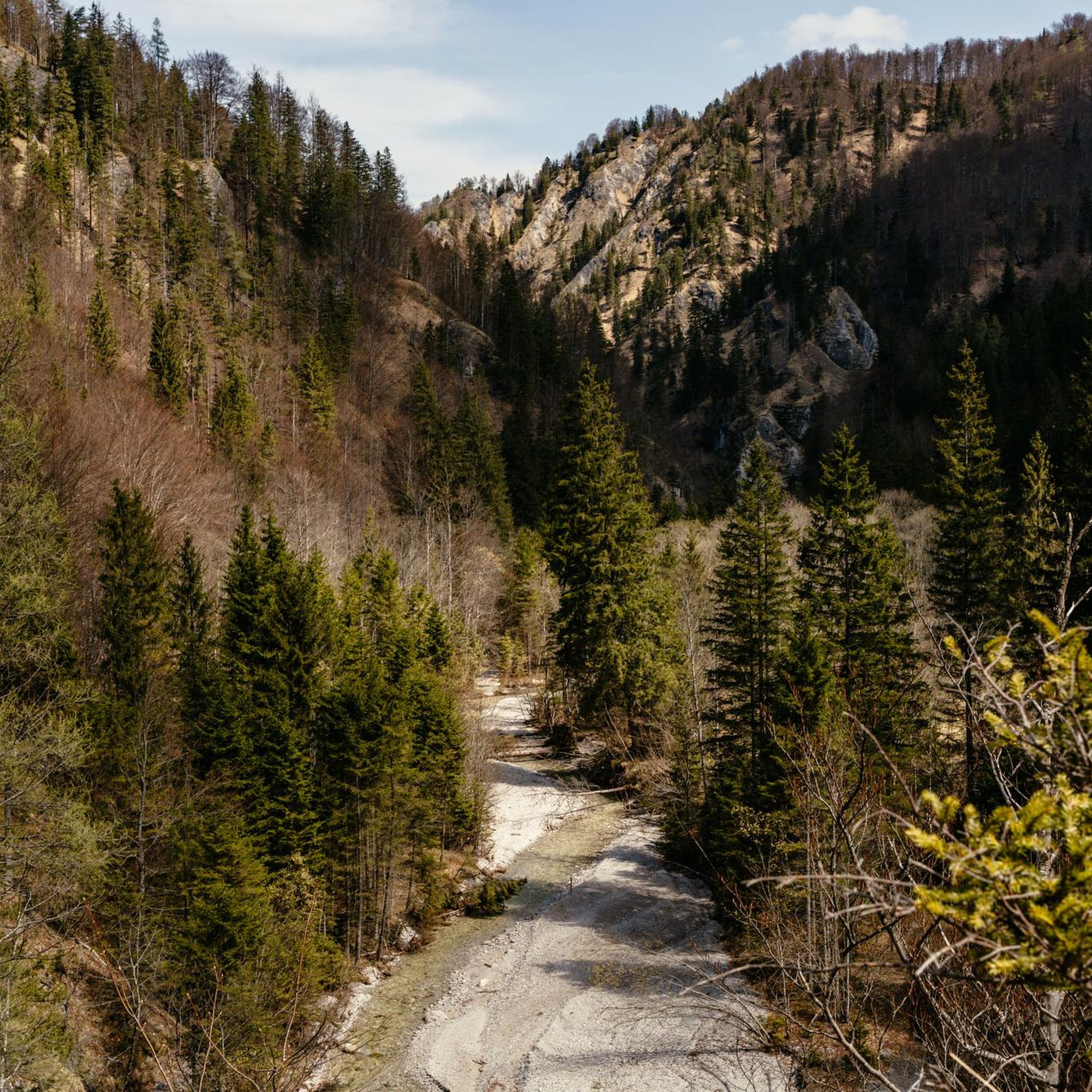
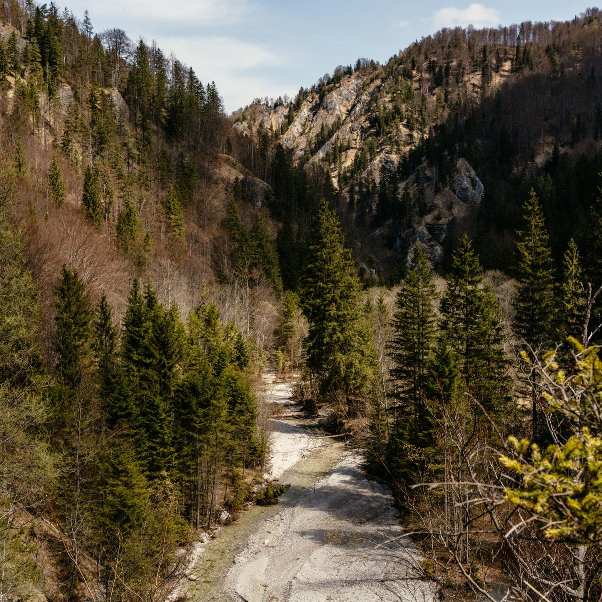
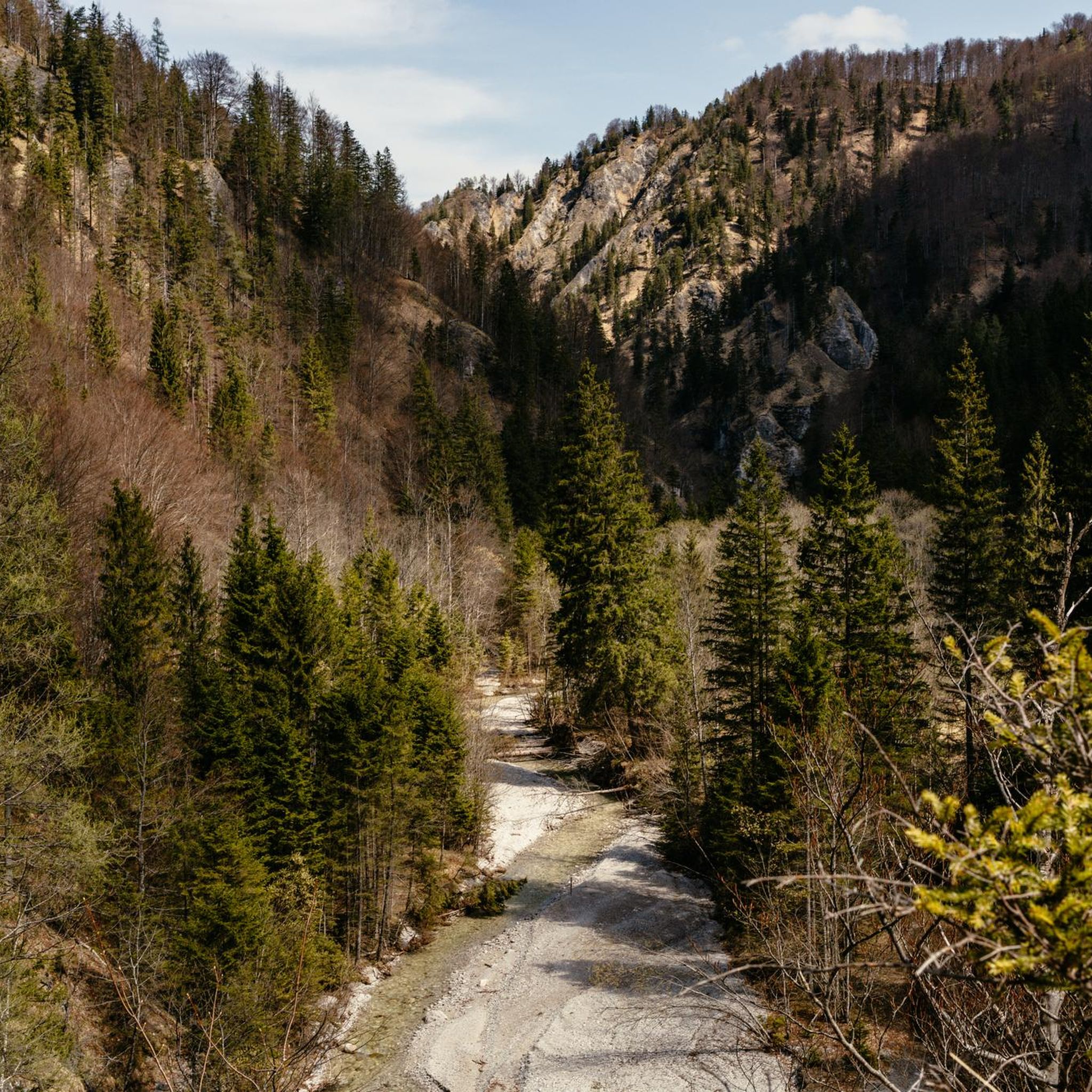
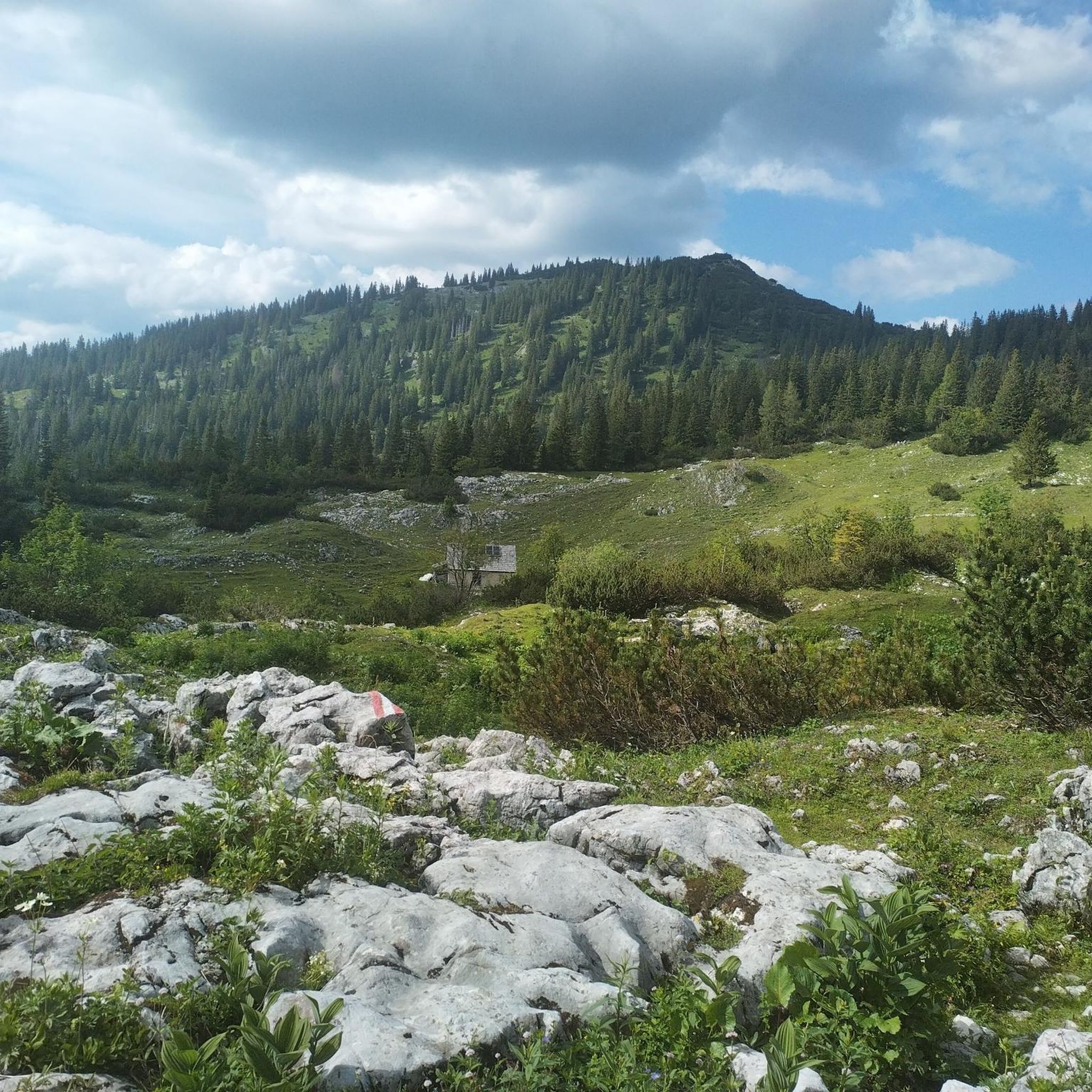
Hiking trails in Naturschutzgebiet Wildnisgebiet Dürrenstein traverse a landscape characterized by karstic alpine formations, dense primeval forests, and meandering streams. The region, a UNESCO World Natural Heritage Site, features elevations ranging from 600 to nearly 1,900 meters. Notable natural features include the Rothwald, an ancient primary forest, and the Dürrenstein Summit. This area offers varied terrain for hikers, from valley paths to challenging mountain ascents.
Best hiking trails in Naturschutzgebiet Wildnisgebiet Dürrenstein
- The most popular hiking route is Ybbstaler Hut – Dürrenstein loop from Ybbstaler Hütte, a 6.0 miles (9.7 km) trail that takes 4 hours to complete. This moderate route offers views of the Dürrenstein summit area.
- Another top favourite among local hikers is Ybbstaler Hut – Rothschild Pond loop from Rothschild-Teich, a moderate 8.8 miles (14.2 km) path. This trail leads through forest and past the Rothschild Pond, with an elevation gain of over 700 meters.
- Local hikers also love the Ybbstaler Hut – Dürrenstein loop from Rothschild-Teich, a 14.9 miles (24.1 km) trail leading through varied alpine terrain, often completed in about 8 hours 50 minutes.
- Hiking in Naturschutzgebiet Wildnisgebiet Dürrenstein is defined by ancient primary forests, karstic alpine landscapes, and pristine moors. The network offers options for different ability levels, from family-friendly paths like the Owl Trail to more challenging summit ascents.
- The routes in Naturschutzgebiet Wildnisgebiet Dürrenstein are highly rated by the komoot community with an average score of 4.7 stars from over 2,000 reviews. More than 15,000 hikers have used komoot to explore Naturschutzgebiet Wildnisgebiet Dürrenstein's varied terrain.
Last updated: July 15, 2026
5.0
(1)
17
hikers
9.73km
04:00
490m
490m
Moderate hike. Good fitness required. Mostly accessible paths. Sure-footedness required.
5.0
(3)
41
hikers
3.82km
01:49
250m
250m
Moderate hike. Great for any fitness level. Mostly accessible paths. Sure-footedness required.

Sign up for free
5.0
(19)
163
hikers
14.4km
04:54
750m
750m
Moderate hike. Good fitness required. Easily-accessible paths. Suitable for all skill levels.
5.0
(4)
70
hikers
Moderate hike. Good fitness required. Mostly accessible paths. Sure-footedness required.
5.0
(5)
28
hikers
24.1km
08:51
1,250m
1,250m
Hard hike. Very good fitness required. Mostly accessible paths. Sure-footedness required.
Get access to more routes and recommendations from other explorers.
Sign up for free
Already have an account?
Our route recommendations are based on thousands of hikes, rides, and runs completed by other people on komoot.
Start today with a free account
Your next adventure awaits.
Login or Signup
Popular around Naturschutzgebiet Wildnisgebiet Dürrenstein
Tips from the Community

Even further back at the end of the valley at Freiengraben and Geißgraben is the wonderful nature cinema
0
0

Owl Trail in the Dürrenstein Wilderness Area
1
0

The Dürrenstein, at 1878 m high, is located in the UESCO World Heritage Site of the Dürrenstein Wilderness Area. The 11th stage of the Luchstrail leads from Göstling over the Dürrenstein to Lunz/See. It is a lonely mountain with a very long climb. There is the possibility of spending the night at the Ybbstalhütte to split up the long climb.
0
0

Beautiful place to take a little break
1
0
Nice little pond at the start of the tour
0
0
very nice place for a rest!
1
0

Frequently Asked Questions
How many hiking trails can I find in Naturschutzgebiet Wildnisgebiet Dürrenstein?
The Naturschutzgebiet Wildnisgebiet Dürrenstein offers over 150 hiking routes. These range from easy valley walks to challenging alpine ascents, ensuring options for various skill levels.
What types of terrain and difficulty levels can I expect when hiking here?
You'll encounter diverse terrain, from dense primeval forests and meandering streams to dramatic karstic alpine landscapes. Elevations vary significantly, from around 600 meters to nearly 1,900 meters at the Dürrenstein summit. The trails are categorized into easy (around 50 routes), moderate (around 68 routes), and difficult (around 37 routes), offering something for every hiker.
Are there any family-friendly hiking options in the wilderness area?
Yes, there are several family-friendly paths. A notable one is the Owl Trail (Eulenweg), which is approximately 2.5 kilometers long and features educational stations about the local owl species. This trail leads through the scenic Windischbachau and is designed to be engaging for younger hikers.
Can I bring my dog on the hiking trails in Naturschutzgebiet Wildnisgebiet Dürrenstein?
While the wilderness area is a natural habitat, specific regulations apply to protect its sensitive ecosystem. Dogs are generally permitted on designated hiking trails, but they must be kept on a leash at all times. Always check local signage for any specific restrictions on certain paths or areas.
What are the most notable natural features or landmarks to see while hiking?
The region is rich in natural wonders. You can explore the Rothwald, the last remaining primary forest in the Alps, with its ancient trees. The Dürrenstein Summit offers breathtaking panoramic views. Other features include pristine moors like the Leckermoos, meandering streams, and the unique karstic alpine landscapes. The Ringkogel Summit is also known for its excellent views.
Are there any circular hiking routes available?
Yes, many routes in the area are designed as loops. For example, the Ybbstaler Hut – Rothschild Pond loop from Rothschild-Teich is a moderate 14.2 km path that takes you through forests and past the Rothschild Pond. Another option is the Rothschild Pond – End of the Eulenweg Trail loop from Rothschild-Teich, which is a moderate 9 km route.
What is the best time of year to go hiking in Naturschutzgebiet Wildnisgebiet Dürrenstein?
The best time for hiking is generally from late spring to early autumn (May to October), when trails are clear of snow and weather conditions are most favorable. During these months, you can fully appreciate the diverse flora and fauna. Some lower-elevation trails might be accessible in winter for snowshoeing, but higher alpine routes will be covered in snow.
Where can I park my car when visiting the hiking trails?
Parking facilities are available at key access points to the wilderness area. For routes starting near Rothschild-Teich, you will find designated parking. It's advisable to check specific trailheads for parking availability and any potential fees before your visit.
Is public transport an option to reach the hiking areas?
Access to the Naturschutzgebiet Wildnisgebiet Dürrenstein by public transport can be limited, especially for more remote trailheads. It's recommended to research bus schedules to nearby towns like Lunz am See and then plan for potential taxi services or longer walks to reach specific starting points. The 'House of Wilderness' in Lunz am See is more easily accessible.
Are there any guided tours available for exploring the wilderness area?
Yes, to experience the most strictly protected parts of the wilderness, visitors can join guided hikes led by trained rangers. These tours offer deeper insights into the area's unique ecology and history, providing an enriching experience beyond independent exploration.
What do other hikers enjoy most about hiking in Naturschutzgebiet Wildnisgebiet Dürrenstein?
The area is highly rated by the komoot community, with an average score of 4.7 stars from over 2,000 reviews. Hikers often praise the pristine, untouched nature, the stunning panoramic views from summits like Dürrenstein, and the unique experience of walking through the ancient Rothwald primary forest. The variety of trails, from gentle forest paths to challenging alpine ascents, is also frequently highlighted.
Are there any places to stay overnight within or near the hiking trails?
For those embarking on longer or more challenging hikes, such as the Dürrenstein loop, the Ybbstaler Hütte provides an option for an overnight stay. This allows hikers to split their journey and experience more of the alpine environment. There are also various accommodation options in nearby towns like Lunz am See.
Most popular routes in Naturschutzgebiet Wildnisgebiet Dürrenstein
Most popular attractions in Naturschutzgebiet Wildnisgebiet Dürrenstein

Get inspired with the komoot mobile app


Explore more
Browse the best Hikes in other regions.
