The best running trails in Tétényi-Fennsík
4.5
(22)
1,244
runners
36
runs
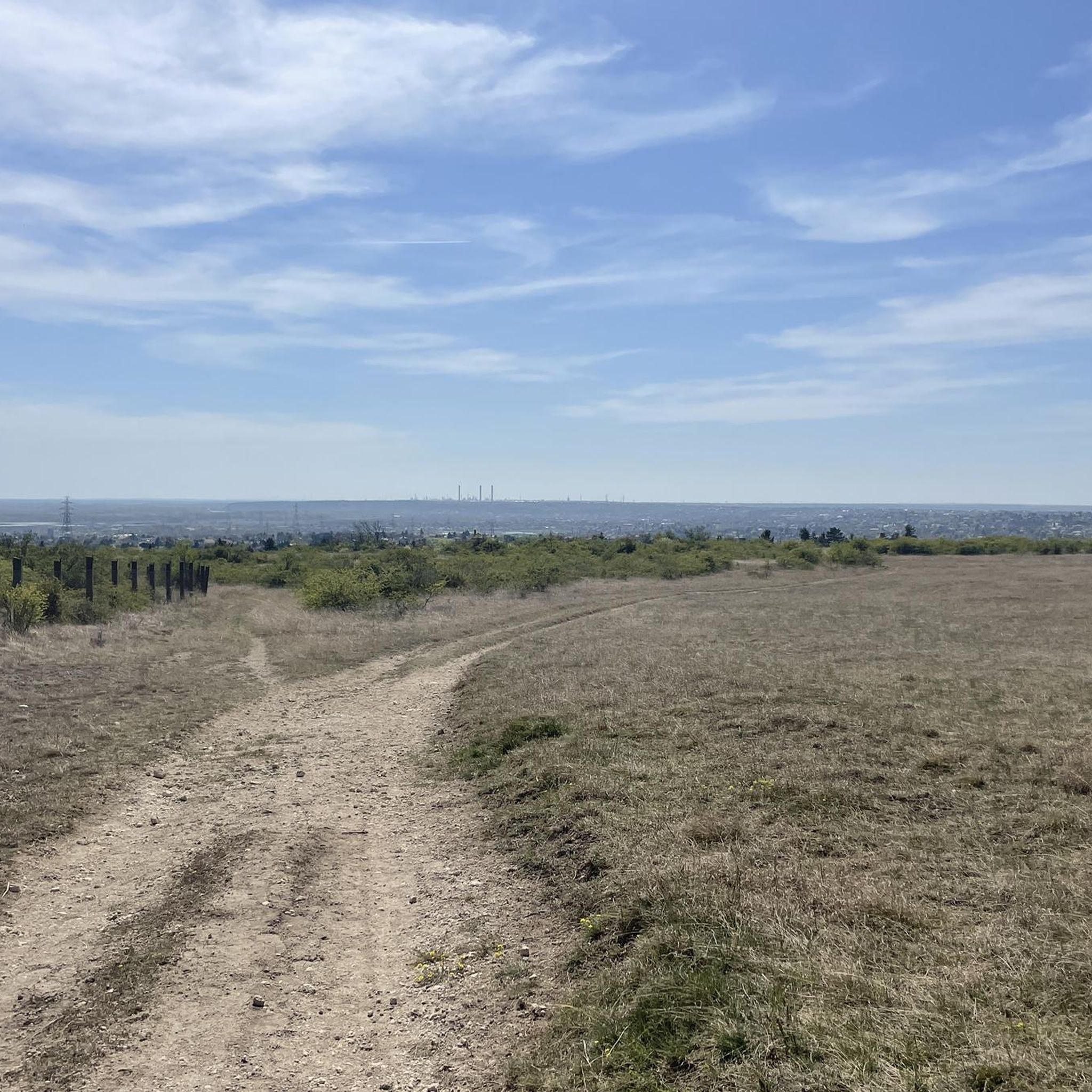
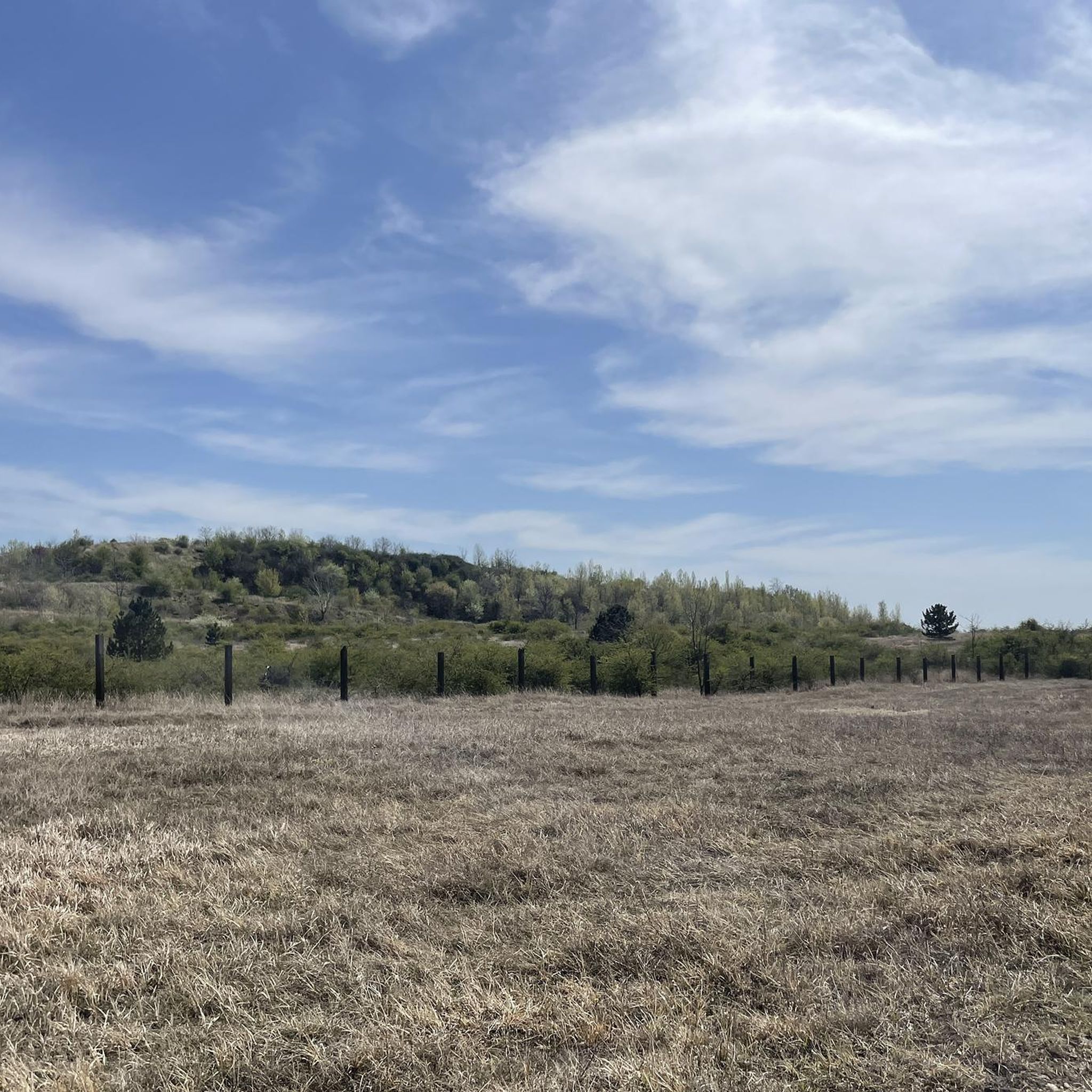
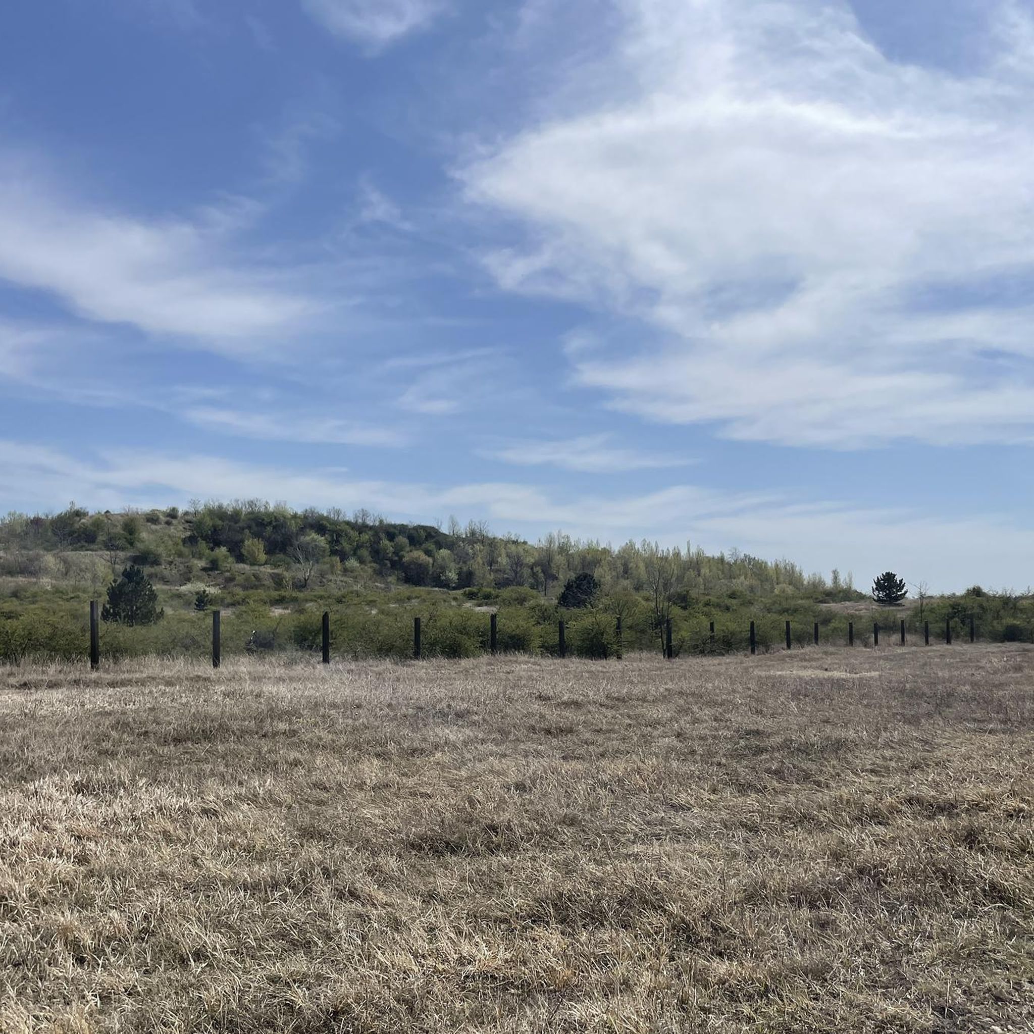
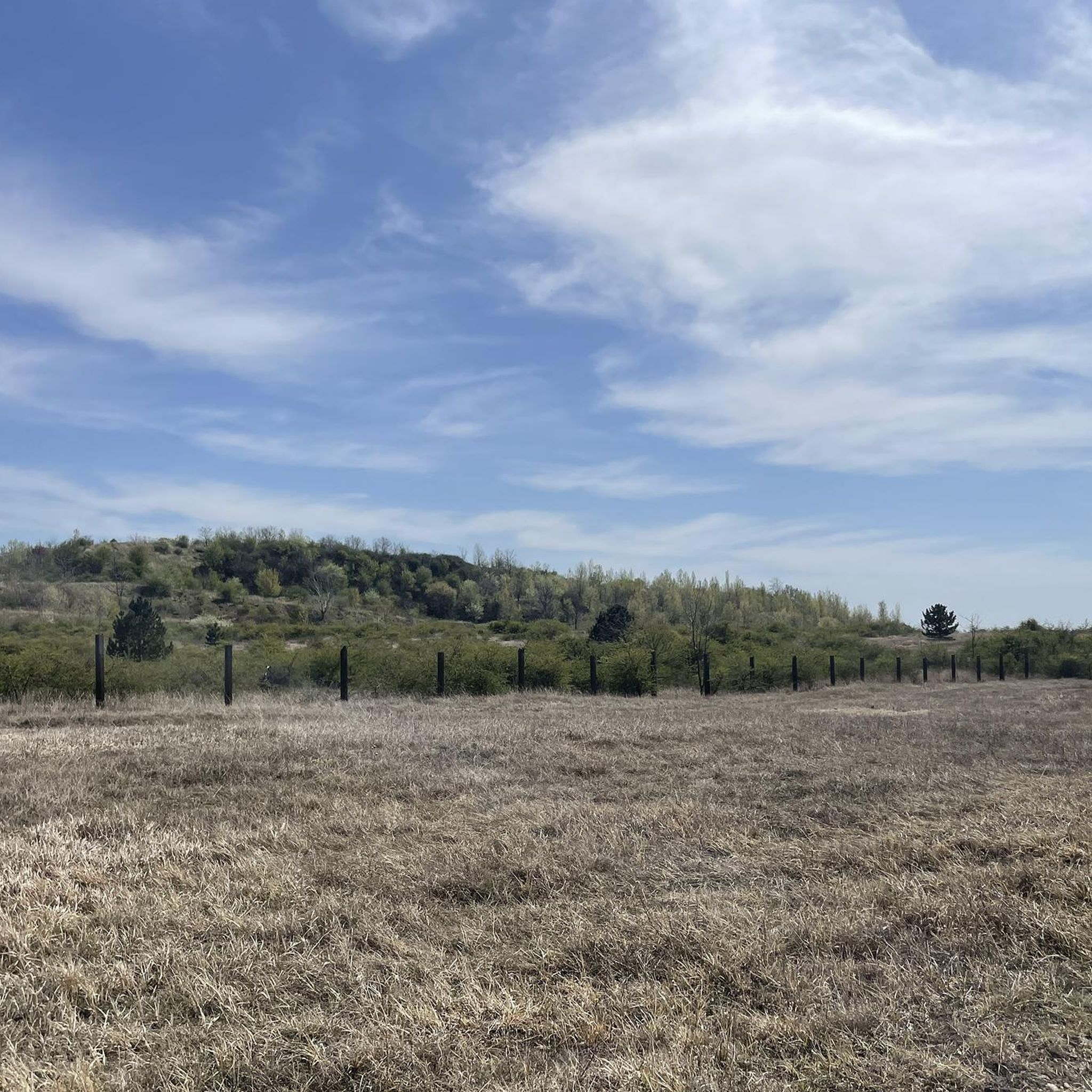
Jogging in Tétényi-Fennsík offers routes across a limestone plateau, part of the Buda Hills, with an average height of 200 meters. The terrain features varied elevations, including 5–10 meter step edges and gentle slopes towards the Danube. This protected natural area is characterized by heavily shrubbed steppe meadows and significant valleys like Égett-völgy. Runners can explore a diverse landscape that includes both lowland and highland plant species.
Best jogging routes in Tétényi-Fennsík
- The most popular jogging route is Kaptárkő loop…
Last updated: October 13, 2026
3
runners
8.19km
00:55
100m
100m
Hard run. Good fitness required. Sure-footedness, sturdy shoes and alpine experience required.
5.0
(4)
8
runners
9.57km
01:08
180m
180m
Moderate run. Good fitness required. Mostly paved surfaces. Suitable for all skill levels.

5.0
(1)
49
runners
12.7km
01:34
250m
250m
Moderate run. Good fitness required. Mostly paved surfaces. Suitable for all skill levels.
5.0
(1)
24
runners
6.63km
00:48
130m
130m
Moderate run. Good fitness required. Mostly paved surfaces. Suitable for all skill levels.
6
runners
5.88km
00:43
80m
80m
Moderate run. Good fitness required. Mostly paved surfaces. Suitable for all skill levels.
Get access to more routes and recommendations from other explorers.
Already have an account?
Our route recommendations are based on thousands of hikes, rides, and runs completed by other people on komoot.
Start today with a free account
Your next adventure awaits.

Tips from the Community

The Kamaraerdő (German: Chamber Forest) is a forest near Budapest; that's where my running route was supposed to lead. Its highest point is Vadász-hegy (Hunter's Hill, 227 m), which is quite a steep climb! After the Tartars withdrew, Béla IV donated the area to the German settlers so that the completely devastated region would not remain fallow. The name of the medieval settlement, which existed until the 18th century, was Kana, which is why the Swabians who settled there called it "Kana Forest" when they resettled in the 19th century. The name "Kammerwald" has remained, and has been used since 1847.
0
0
The highest point of the Kammerwalds is the Hunter's Hill (Jägerberg, 227 m).
0
0

Large water tower. Next to it are paths in the clearing and in the woods.
0
0
Frequently Asked Questions
How many running routes are available in Tétényi-Fennsík?
There are over 35 dedicated running routes in Tétényi-Fennsík, catering to various fitness levels. You'll find a good mix of easy, moderate, and difficult trails to explore.
What kind of terrain can I expect when jogging in Tétényi-Fennsík?
The Tétényi-Fennsík is a limestone plateau with an average height of 200 meters, offering varied terrain. You'll encounter heavily shrubbed steppe meadows, 5–10 meter high step edges, and gentle slopes, providing a diverse and engaging running experience.
Are there any easy or beginner-friendly jogging routes in the area?
Yes, Tétényi-Fennsík offers routes suitable for all abilities. While most are moderate, there is at least one easy route available, making it welcoming for beginners or those looking for a less strenuous run. The extensive trail network ensures options for various fitness levels.
What are some notable landmarks or points of interest I might see on a run?
While running, you might pass by the distinctive, futuristic-looking Budatétény Water Tower, a prominent 42-meter tall landmark. The area also features remnants of former military trenches and old boundary stones, adding a touch of history to your outdoor activity. The Kamaraerdő Water Tower – Kamaraerdő Loop route is a great option to see the water tower.
Are the running trails in Tétényi-Fennsík popular with other runners?
Yes, the routes in Tétényi-Fennsík are highly regarded by the komoot community, with an average rating of 4.4 stars from over 20 reviews. More than 1000 runners have used komoot to explore the varied terrain, indicating its popularity among the running community.
Can I find routes with significant elevation changes for a more challenging workout?
Absolutely. The region's varied topography, including the highest point at Anna-hegy (267 meters) and 5–10 meter step edges, provides opportunities for challenging runs. Routes like the Anna-hegy – Helyi jelentőségű TT loop from Törökbálint include notable ascents, perfect for elevation training.
Are there any circular running routes in Tétényi-Fennsík?
Many of the running routes in Tétényi-Fennsík are designed as loops, allowing you to start and finish at the same point. For example, the Tétényi-fennsík loop from Tétényi-fennsík offers a moderate 5.8 km circular path.
What kind of natural features can I observe while running?
Tétényi-Fennsík is a protected natural area known for its ecological value. You'll run through heavily shrubbed steppe meadows and encounter diverse flora, including rare plant species like shaggy sedge and sand iris. The area is also home to about 80 protected animal species, making it a rich natural environment.
How accessible is Tétényi-Fennsík for urban dwellers?
Tétényi-Fennsík is highly accessible, bordering built-up residential areas like parts of Budapest, Budaörs, and Törökbálint. This proximity makes it an ideal green space for urban dwellers seeking outdoor exercise without traveling far.
Is there a specific route that takes me through forested areas?
Yes, the Tétényi-Fennsík is contiguous with Kamaraerdő, which features nature trails and forested sections. The Kamaraerdő Loop – Kamaraerdő Water Tower loop from Tétényi-fennsík is a moderate 6.6 km route that leads through these wooded areas.
What is the longest running route available in Tétényi-Fennsík?
One of the longer routes is the Kamaraerdő Water Tower – Kamaraerdő Loop loop from Tétényi-fennsík, which spans 12.7 km and typically takes about 1 hour and 34 minutes to complete, offering a substantial run through varied landscapes.
Most popular routes in Tétényi-Fennsík

Get inspired with the komoot mobile app


Explore more
Browse the best Running Trails & Routes in other regions.
