The best road cycling routes in Sanginjoen Ulkometsä
4.4
(25)
1,704
riders
38
rides
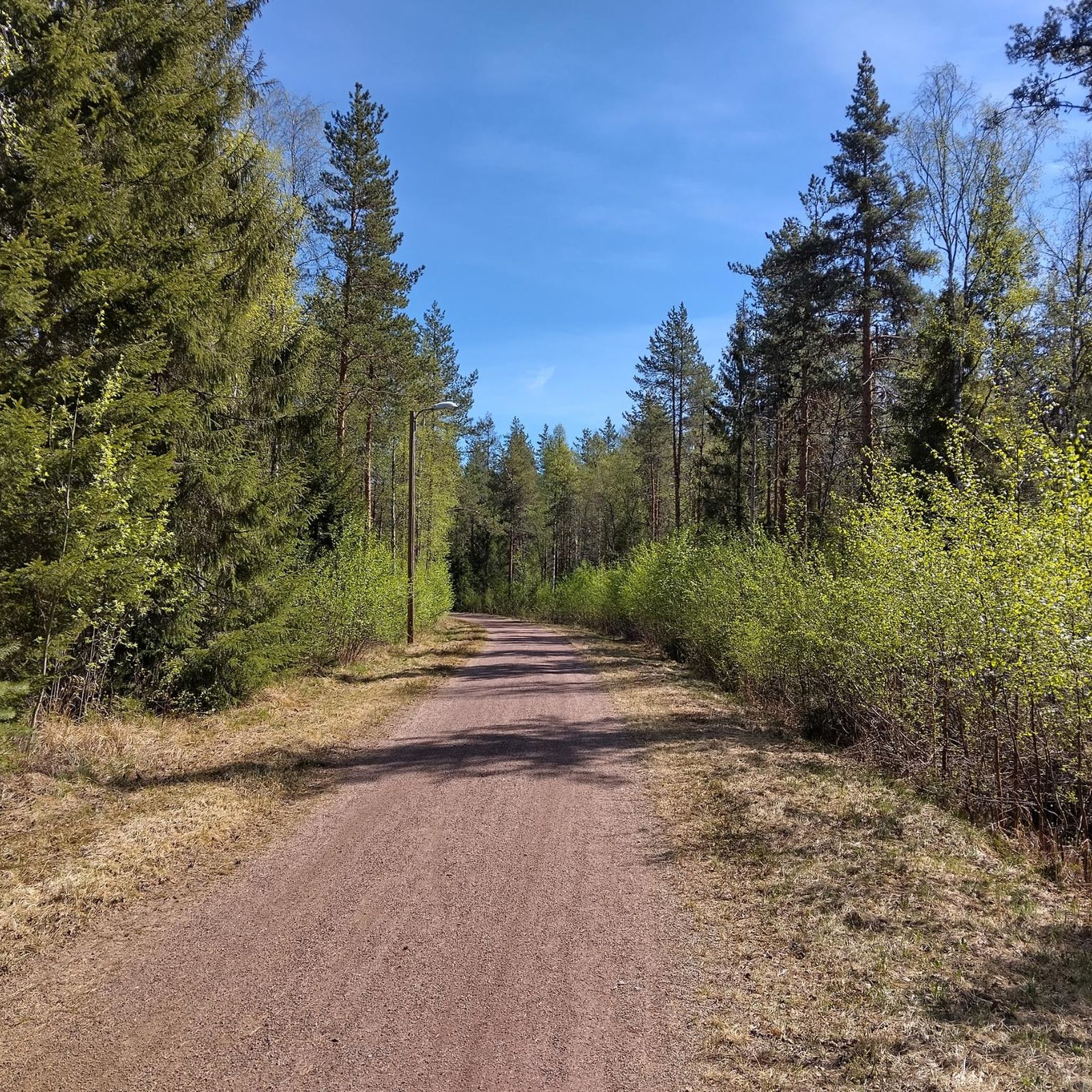
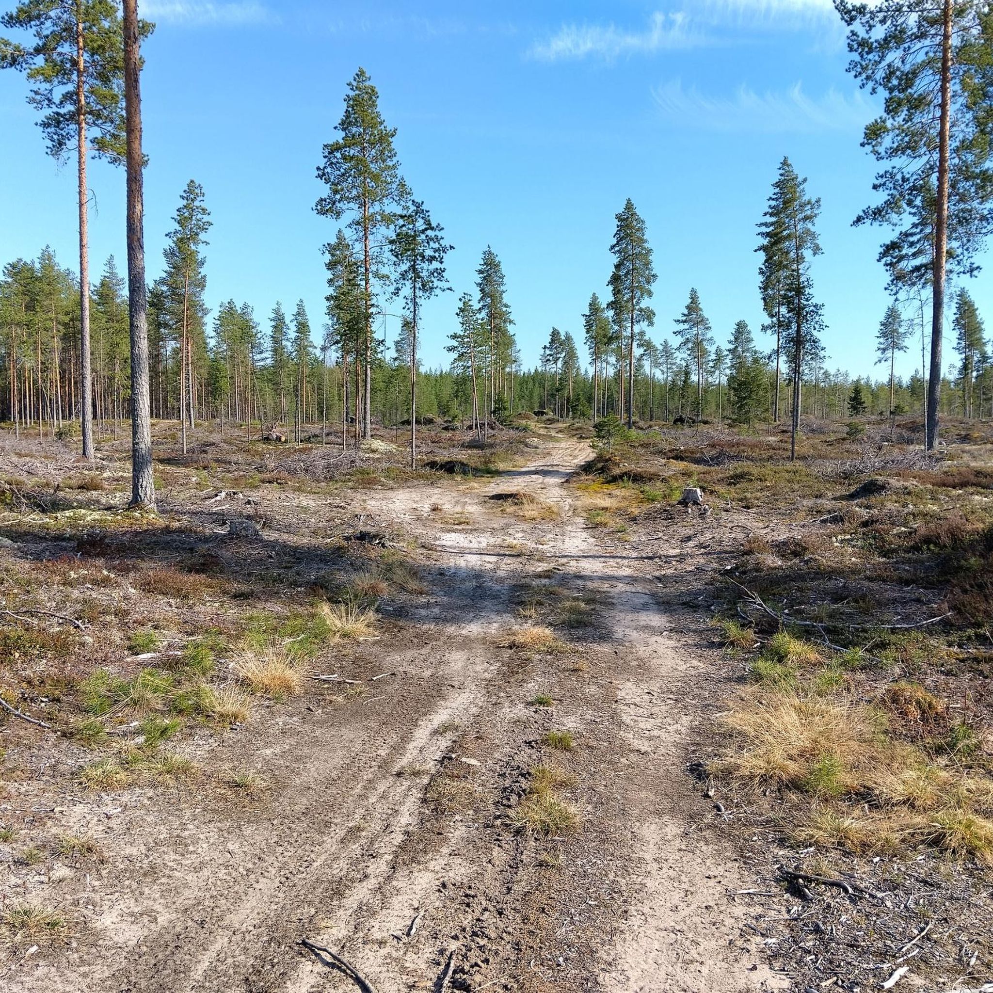
Road cycling routes in Sanginjoen Ulkometsä traverse a landscape characterized by diverse forests, including old-growth spruce and pine heaths, alongside restored mires. The winding Sanginjoki River borders the southern edge of the reserve, adding to the scenic appeal. While primarily known for hiking, the area features fast-running forest roads and varied terrain, including gentle elevations like the 90-meter Takaharju hill, suitable for road cyclists seeking natural surroundings.
Best road cycling routes in Sanginjoen Ulkometsä
- The most popular road cycling route…
Last updated: May 17, 2026
17
riders
Easy road ride. Great for any fitness level. Mostly well-paved surfaces and easy to ride.
14
riders
56.5km
02:16
110m
110m
Moderate road ride. Good fitness required. Mostly well-paved surfaces and easy to ride.

Sign up for free
7
riders
33.8km
01:26
110m
110m
Moderate road ride. Great for any fitness level. Some segments of this route may be unpaved and difficult to ride.
7
riders
59.7km
02:21
140m
140m
Moderate road ride. Good fitness required. Some segments of this route may be unpaved and difficult to ride.
6
riders
14.3km
00:36
30m
30m
Moderate road ride. Great for any fitness level. Some segments of this route may be unpaved and difficult to ride.
Get access to more routes and recommendations from other explorers.
Sign up for free
Already have an account?
Our route recommendations are based on thousands of hikes, rides, and runs completed by other people on komoot.
Start today with a free account
Your next adventure awaits.
Login or Signup

Tips from the Community

Beautiful natural area with view of the bay.
0
0
Fun bends and flow trail in Iinatti Bike Park.
0
0

The Merikoski fish ladder in Oulu is 750 meters long with 64 steps leading past the power plant. From May to October, you can watch salmon and trout making their way upstream.
0
0


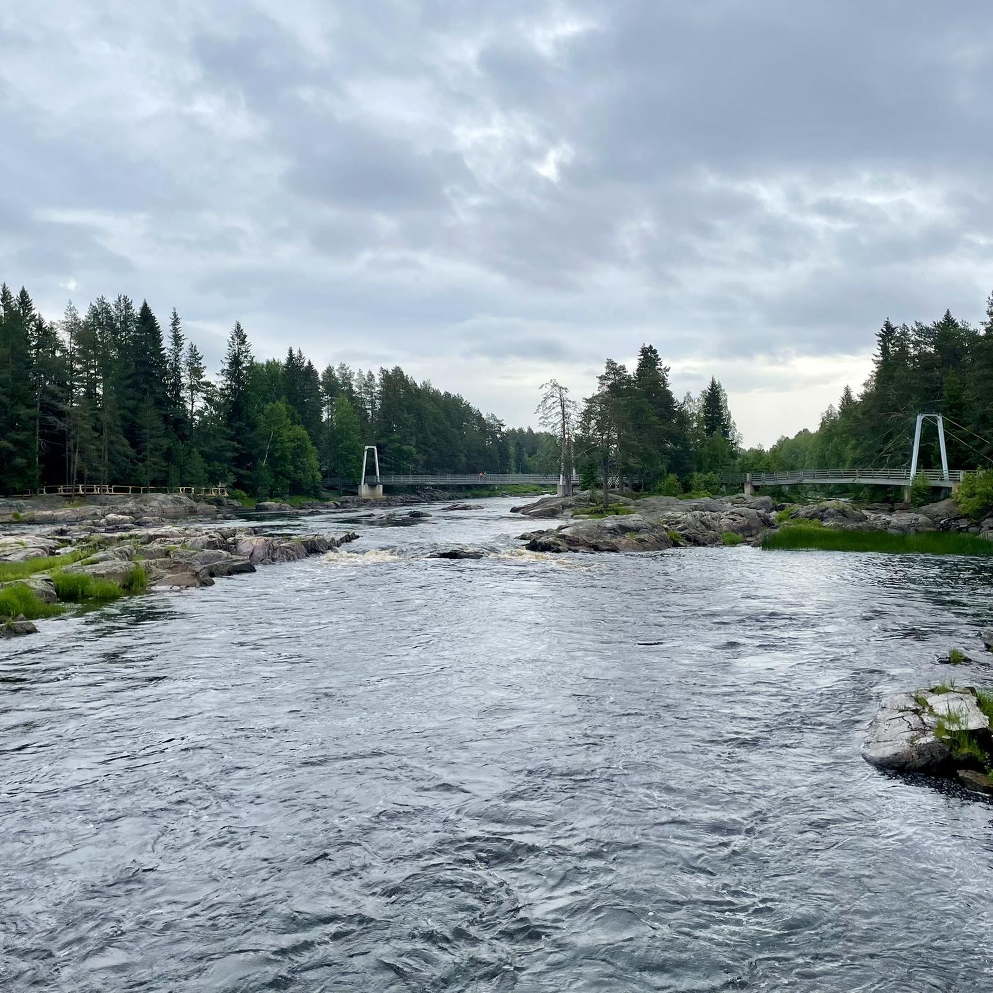
The bridge is located in a picturesque setting, with the Kiiminkijoki River running beneath it, surrounded by lush forests and rural landscapes.
0
0

An absolute must when visiting Oulu
0
0
Frequently Asked Questions
How many road cycling routes are available in Sanginjoen Ulkometsä?
There are 39 road cycling routes available in Sanginjoen Ulkometsä, offering a variety of options for different skill levels.
What are the typical difficulty levels for road cycling routes in Sanginjoen Ulkometsä?
The routes in Sanginjoen Ulkometsä primarily cater to moderate ability levels, with 22 moderate routes and 17 easy routes. There are no difficult routes listed, making it accessible for many cyclists.
Are there any family-friendly road cycling options in Sanginjoen Ulkometsä?
Yes, Sanginjoen Ulkometsä offers 17 easy road cycling routes, which are generally suitable for families. These routes allow you to enjoy the natural surroundings at a comfortable pace. For a shorter, moderate option, consider the Emännäntien uimaranta loop from Kivikkokangas, which is about 14.3 km long.
What kind of terrain can I expect on the road cycling routes?
Road cycling in Sanginjoen Ulkometsä features diverse forests, including old-growth spruce and pine heaths, alongside restored mires. You'll encounter 'fast-running forest roads' and varied terrain, including gentle elevations like the 90-meter Takaharju hill, offering a mix of flat sections and mild climbs.
Are there any loop routes for road cycling in Sanginjoen Ulkometsä?
Yes, many of the road cycling routes in Sanginjoen Ulkometsä are designed as loops. For example, you can explore the Riverside Pathway – Nallikari Beach South End loop from Heikkilänkangas or the Madekoski Bridge loop from Kivikkokangas, both offering scenic circular journeys.
What is the best time of year for road cycling in Sanginjoen Ulkometsä?
The best time for road cycling in Sanginjoen Ulkometsä is typically from spring through autumn when the weather is mild and the roads are clear of snow and ice. The diverse forests and winding river are particularly beautiful during these seasons.
Can I bring my dog on the road cycling trails in Sanginjoen Ulkometsä?
While Sanginjoen Ulkometsä is a nature reserve, specific rules regarding dogs on cycling trails can vary. It's generally advisable to keep dogs on a leash in protected areas to respect wildlife and other visitors. Always check local signage or the official park guidelines for the most current regulations.
What are the typical lengths of road cycling routes in the area?
Route lengths vary, offering options for different preferences. You can find shorter rides like the Emännäntien uimaranta loop from Kivikkokangas at 14.3 km, or longer excursions such as the Bicycle Repair Shop – Kempele loop from Heikkilänkangas, which spans nearly 59 km.
Are there any scenic viewpoints along the road cycling routes?
Yes, the varied terrain of Sanginjoen Ulkometsä offers scenic spots. The Takaharju hill, rising to about 90 meters, is one of Oulu's highest points and could provide gentle climbs with rewarding views. The winding Sanginjoki River also offers picturesque vistas along its banks.
What kind of wildlife might I encounter while cycling?
Sanginjoen Ulkometsä is rich in biodiversity. Cyclists might spot diverse birdlife that favors old forests, such as the Siberian jay and Eurasian pygmy owl. The area is also home to aspen trees, which support over a hundred dependent species and provide nesting sites for birds like the black woodpecker.
Where can I find parking for road cycling in Sanginjoen Ulkometsä?
As a nature reserve, Sanginjoen Ulkometsä typically has designated parking areas at trailheads or access points. While specific parking locations aren't detailed here, it's common for such areas to have facilities for visitors. Check local maps or the official reserve website for precise parking information.
What do other road cyclists enjoy most about the routes in Sanginjoen Ulkometsä?
The road cycling routes in Sanginjoen Ulkometsä are highly rated by the komoot community, with an average score of 4.5 stars from over 20 reviews. Cyclists often praise the tranquil setting, the diverse forest landscapes, and the opportunity to experience Finnish nature away from urban traffic.
Are there any longer road cycling routes for advanced riders?
While there are no routes explicitly graded as 'difficult,' more advanced riders can enjoy longer moderate routes that offer extended cycling experiences. The Merikoski Dam and Fish Ladder – Oulu Castle Tower loop from Heikkilänkangas, at nearly 60 km, provides a substantial ride through varied landscapes.
Most popular routes in Sanginjoen Ulkometsä

Get inspired with the komoot mobile app


Explore more
Browse the best Road cycling routes in other regions.
