The best walks and hikes in Grøvelsjøen Naturreservat
4.7
(153)
924
hikers
38
hikes
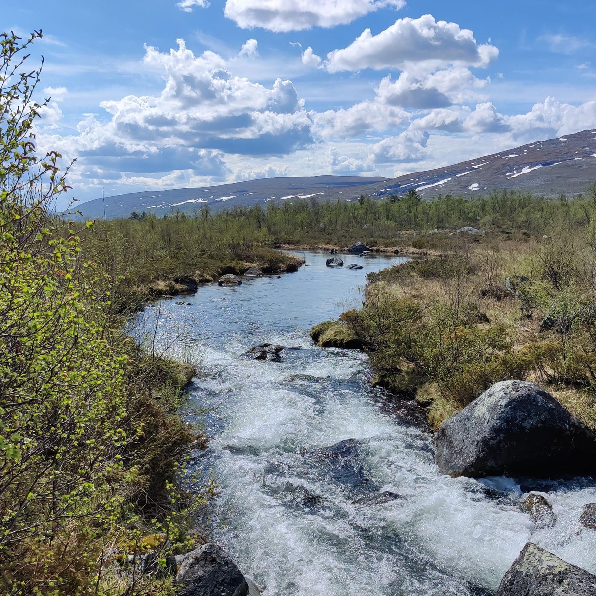
Hiking in Grøvelsjøen Naturreservat offers diverse landscapes characterized by distinctive geological formations. The area features prominent glacial shorelines, known as "seter" or terraces, which are remnants of a large glacial lake. Lush mountain birch forests extend up to the treeline at 900 meters above sea level, transitioning into an alpine environment with rounded mountain formations reaching up to 1400 meters. Lake Grövelsjön forms a central element of the region.
Best hiking trails in Grøvelsjøen Naturreservat
- The most popular hiking route…
Last updated: May 14, 2026
5.0
(6)
54
hikers
11.0km
03:34
360m
300m
Moderate hike. Good fitness required. Mostly accessible paths. Sure-footedness required.
4.7
(55)
257
hikers
7.02km
02:16
170m
170m
Moderate hike. Good fitness required. Mostly accessible paths. Sure-footedness required.

Sign up for free
4.6
(7)
55
hikers
Moderate hike. Good fitness required. Mostly accessible paths. Sure-footedness required.
5.0
(3)
19
hikers
Moderate hike. Good fitness required. Mostly accessible paths. Sure-footedness required.
4.7
(3)
32
hikers
Moderate hike. Good fitness required. Mostly accessible paths. Sure-footedness required.
Get access to more routes and recommendations from other explorers.
Sign up for free
Already have an account?
Our route recommendations are based on thousands of hikes, rides, and runs completed by other people on komoot.
Start today with a free account
Your next adventure awaits.
Login or Signup
Popular around Grøvelsjøen Naturreservat
Tips from the Community

Here is the green border between Norway and Sweden.
2
0

Down to Ryvang you descend through birch forest, blueberries and cranberries into the valley. When autumn arrives, everything around you glows red and gold.
0
0
A nice place for a break with a view of Ryvang and Grøvelsjøn
0
0

Neither nature nor the weather has changed and yet you cross a magical border...
0
0

Beginning and end point of the Grönna Bandet
2
0
Mini waterfall with bathing area in the beautiful mountains.
3
0

the cabin is small, barely room for two if they're not too big. Fire pit, dry toilet - the usual. And a nice bench close by.
0
0

Here you cross the Swedish - Norwegian border
1
1
Frequently Asked Questions
How many hiking trails are available in Grøvelsjøen Naturreservat?
There are nearly 40 hiking trails in Grøvelsjøen Naturreservat, catering to various skill levels. You'll find 3 easy routes, 26 moderate options, and 10 challenging expeditions for experienced hikers.
What kind of natural features can I expect to see while hiking in Grøvelsjøen Naturreservat?
Grøvelsjøen Naturreservat is known for its unique geological formations. You'll encounter prominent glacial shorelines, locally called 'seter' or terraces, which are remnants of an ancient glacial lake. The landscape also features lush mountain birch forests, an alpine environment with rounded peaks, and traces of the ice age like grooves and meltwater channels. The majestic Lake Grövelsjön is a central and picturesque element of the area.
Are there any family-friendly hiking options in Grøvelsjøen Naturreservat?
Yes, Grøvelsjøen Naturreservat offers several easy strolls suitable for families, typically lasting up to two hours with minimal elevation gain. For a slightly longer but still manageable option, the Grövelsjön Suspension Bridge loop from Grövelsjön Sjöstugan is a moderate 5.4 km route that families often enjoy.
Can I bring my dog on the hiking trails in Grøvelsjøen Naturreservat?
Yes, dogs are generally welcome on the hiking trails in Grøvelsjøen Naturreservat. However, it's important to keep them on a leash, especially during certain times of the year, to protect wildlife, particularly the tame reindeer that graze in the area. Always check local regulations before your visit.
Are there any circular hiking routes in Grøvelsjøen Naturreservat?
Yes, there are several circular routes available. A popular choice is the Grövelsjön to Silverfallet loop, a moderate 7 km path that offers views of Lake Grövelsjön and leads to the Silverfallet waterfall. Another option is the Grövelsjön Suspension Bridge – Grövelsjön Mountain Station loop from Grövelsjön Sjöstugan, which is 9.6 km.
What is the best time of year to go hiking in Grøvelsjøen Naturreservat?
The best time for hiking in Grøvelsjøen Naturreservat is typically during the summer and early autumn months (June to September) when the weather is milder and the trails are clear of snow. During this period, you can fully enjoy the mountain birch forests and alpine landscapes. Winter offers opportunities for skiing and ice skating on Lake Grövelsjön.
Are there any challenging hikes for experienced trekkers?
Yes, Grøvelsjøen Naturreservat offers 10 challenging expeditions that require very good fitness and alpine experience. These routes often involve significant elevation gain and can last for more than five hours, taking you into the higher, more rugged alpine environments of the reserve.
Where can I find accommodation or amenities near the hiking trails?
The STF Grövelsjön Mountain Station, located at 816 meters above sea level near the Norwegian border, serves as a convenient base. It provides accommodation, a restaurant, a shop stocked with provisions and outdoor gear, and equipment rental. It also offers direct access to an extensive network of hiking trails.
Is public transport available to Grøvelsjøen Naturreservat?
While direct public transport to the heart of the reserve might be limited, accessibility is enhanced by options like taking a boat from Sjöstugan on the southern shore of Lake Grövelsjön. This allows hikers to be dropped off in the reserve and walk back, or vice versa, connecting to various trailheads.
What makes Grøvelsjøen Naturreservat unique compared to other hiking areas?
Grøvelsjøen Naturreservat stands out due to its distinctive glacial shorelines, known as 'seter,' which are significant geological remnants of the last ice age. The blend of lush mountain birch forests transitioning into an accessible alpine environment, combined with the presence of tame reindeer and its location bordering other vast protected areas like Femundsmarka National Park, creates a unique and diverse outdoor experience.
What do other hikers enjoy most about hiking in Grøvelsjøen Naturreservat?
The area is highly rated by the komoot community, with an average score of 4.7 stars from over 170 reviews. Reviewers often praise the diverse landscapes, from the unique glacial formations to the serene mountain birch forests, and the well-maintained network of trails suitable for various fitness levels.
Are there any waterfalls to see in Grøvelsjøen Naturreservat?
Yes, you can visit Silverfallet waterfall. The Grövelsjön to Silverfallet loop is a popular moderate hike that leads directly to this scenic spot.

Get inspired with the komoot mobile app


Explore more
Browse the best Hikes in other regions.
