The best road cycling routes around Hiltpoltstein
4.7
(307)
2,941
riders
26
rides
Road cycling routes around Hiltpoltstein are situated within the Franconian Switzerland-Veldenstein Forest Nature Park. The region features rolling hills and diverse landscapes, offering varied terrain for road cyclists. Characterized by a low mountain range topography, the area includes numerous valleys and forests, providing a network of mostly paved surfaces suitable for road cycling. The elevation differences, often up to 200 meters, ensure engaging routes.
Best road cycling routes around Hiltpoltstein
- The most popular road cycling route is View of Hilpoltstein…
Last updated: October 13, 2026
4.0
(1)
28
riders
Moderate road ride. Good fitness required. Mostly well-paved surfaces and easy to ride.
4.8
(13)
24
riders
35.2km
01:43
490m
490m
Moderate road ride. Good fitness required. Mostly well-paved surfaces and easy to ride.

5.0
(1)
14
riders
Moderate road ride. Good fitness required. Mostly well-paved surfaces and easy to ride.
5.0
(1)
11
riders
Moderate road ride. Good fitness required. Mostly well-paved surfaces and easy to ride.
5.0
(1)
9
riders
26.7km
01:19
340m
340m
Moderate road ride. Good fitness required. Mostly well-paved surfaces and easy to ride.
Get access to more routes and recommendations from other explorers.
Already have an account?
Our route recommendations are based on thousands of hikes, rides, and runs completed by other people on komoot.
Start today with a free account
Your next adventure awaits.

Tips from the Community

Here you come and feel comfortable.. has its own warm touch
7
0

Not heavily trafficked road through the forest.
1
0


My favorite valley for everything in Franconia
1
0


Unfortunately, there wasn't a wine that good here. 😁
0
1

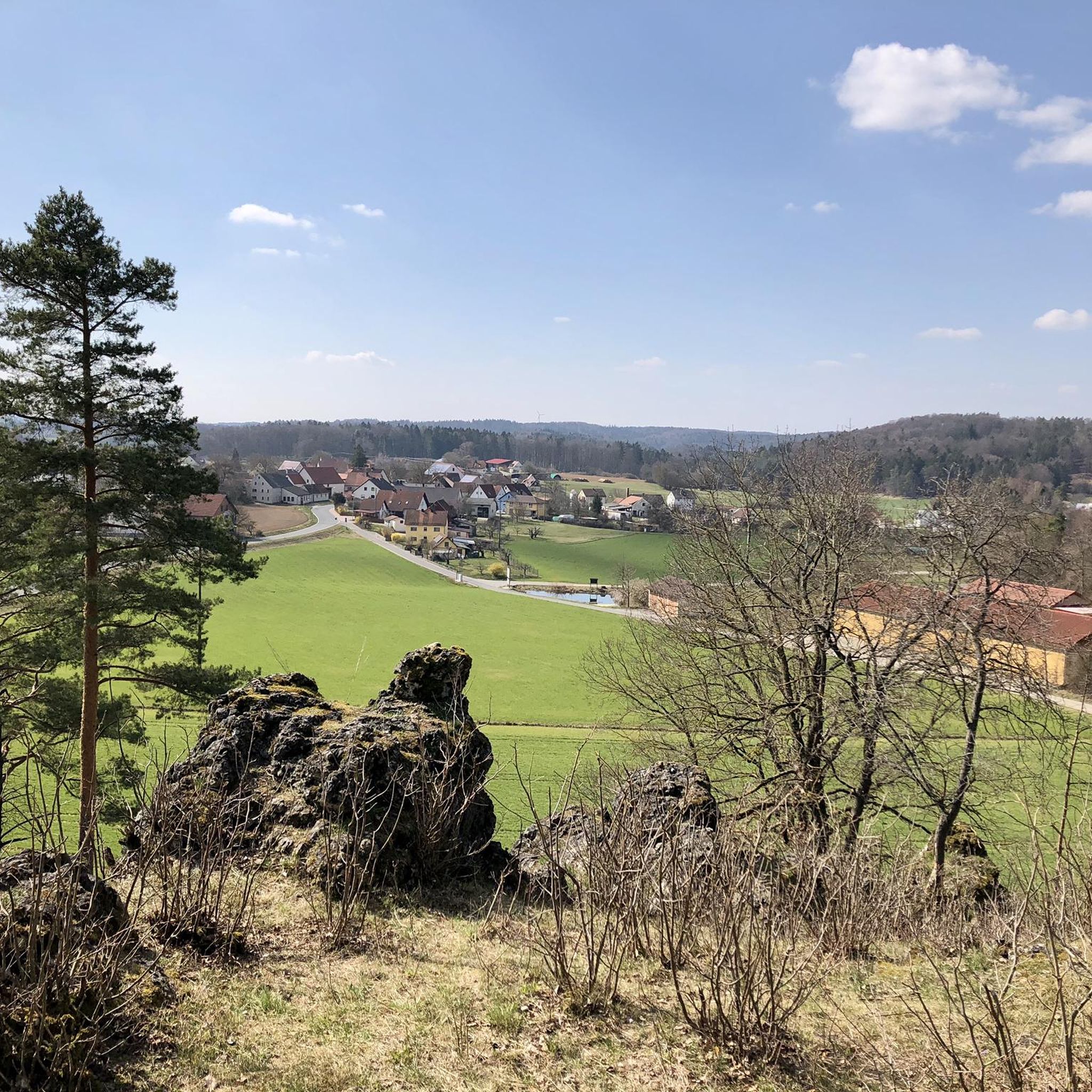
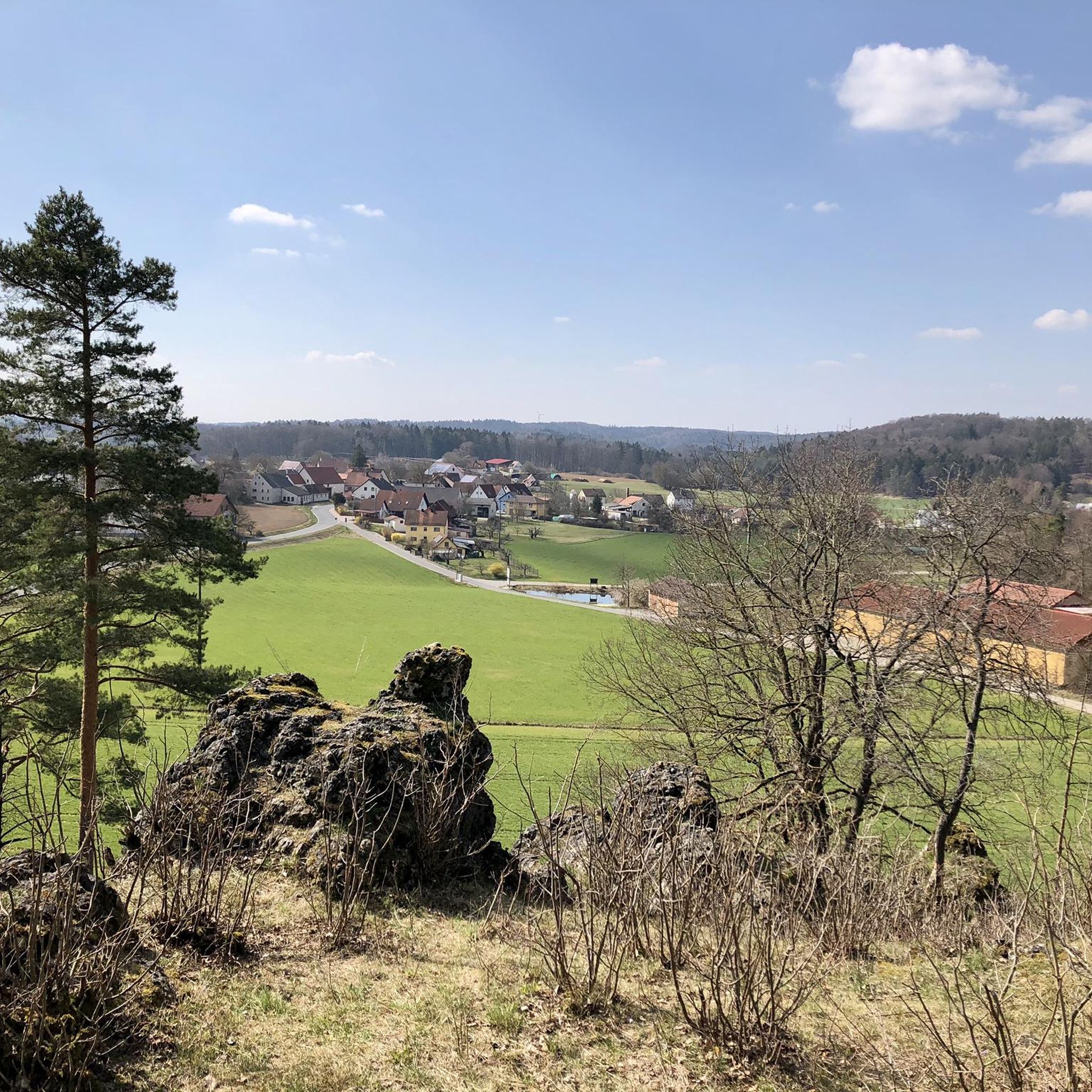
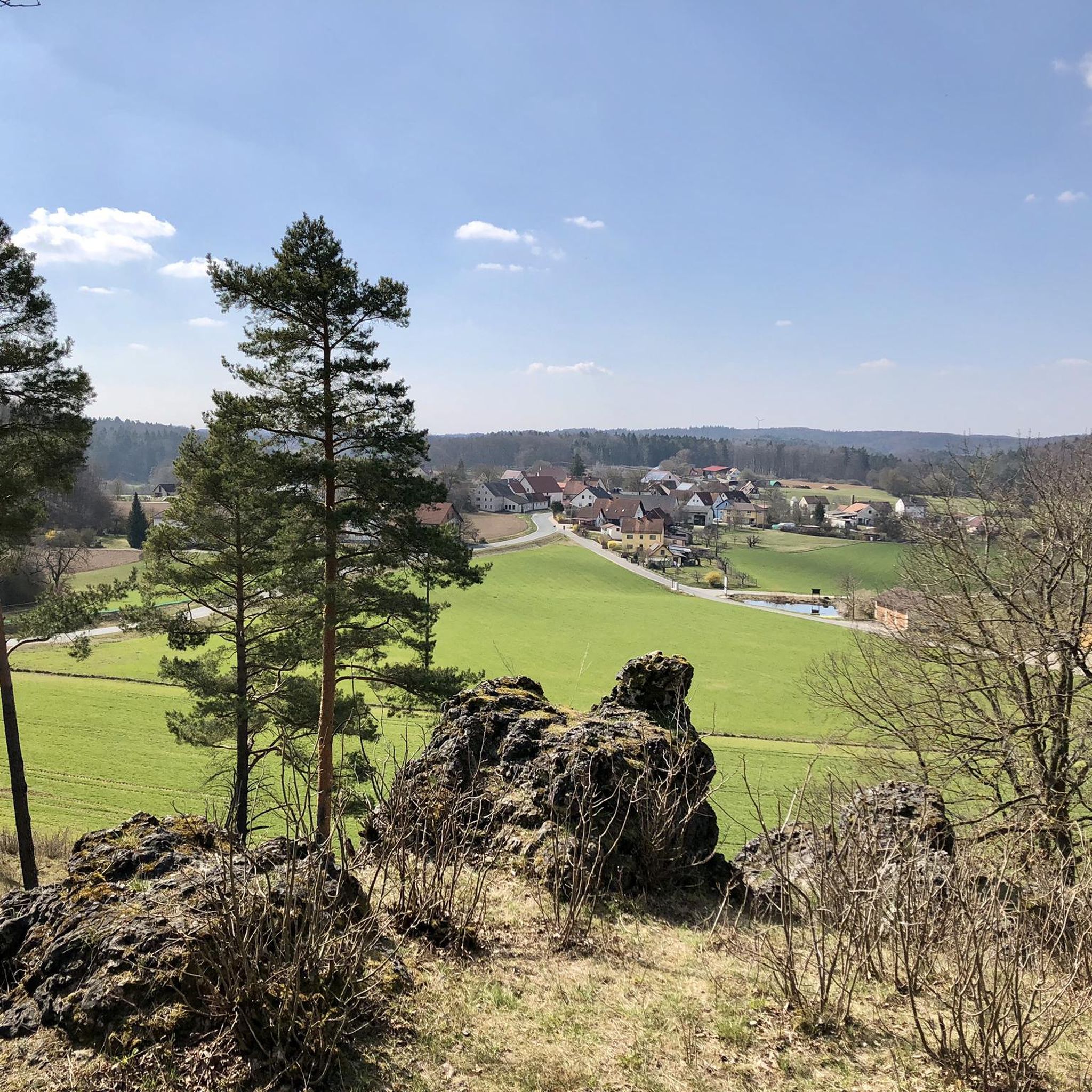
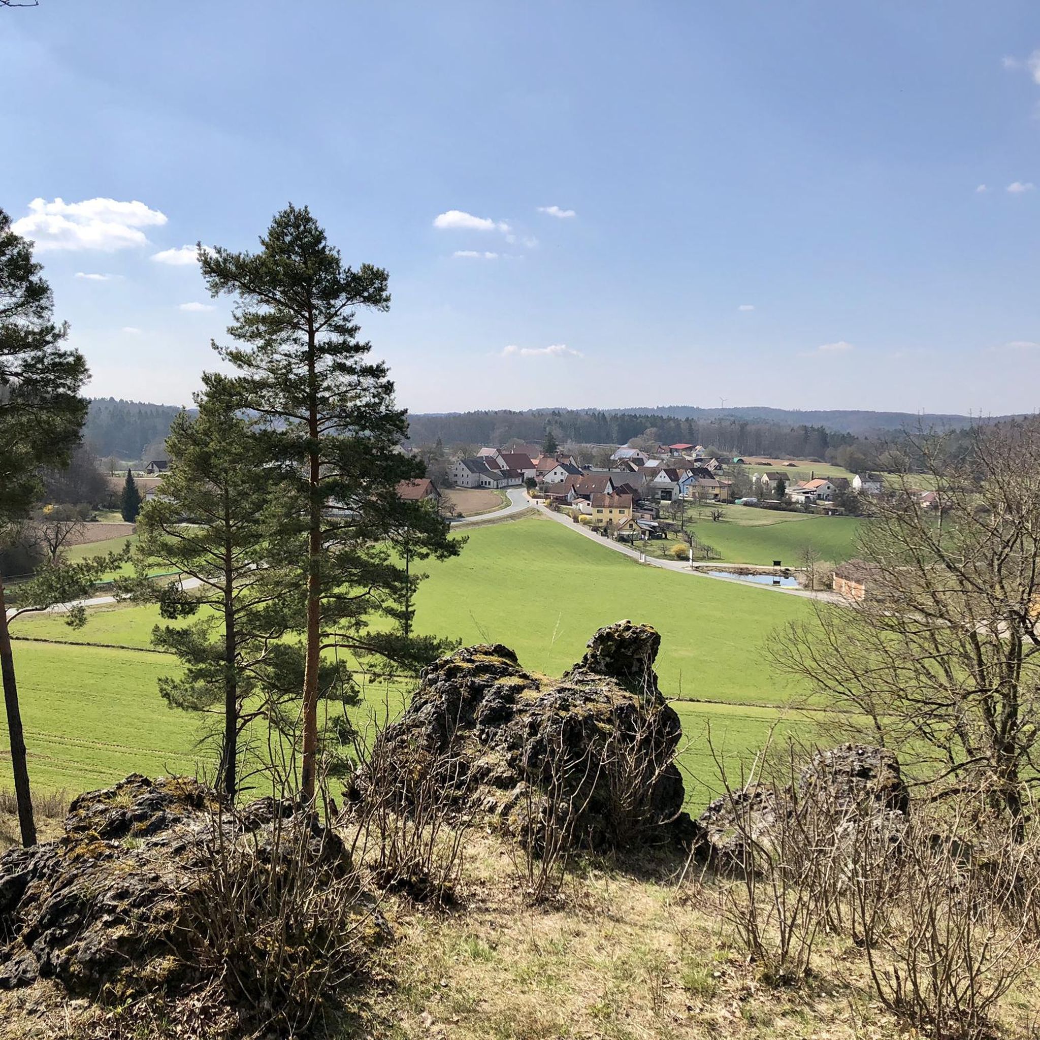
Beautiful view of the valley
1
0

Currently, the road through Haidling is completely closed or under construction. We pushed the bikes about 200 meters through the gravel. After that, the wonderful, shady road to Hormersdorf is completely to ourselves.
2
0
Frequently Asked Questions
How many road cycling routes are available around Hiltpoltstein?
There are nearly 30 road cycling routes in and around Hiltpoltstein, offering a variety of options for different preferences and skill levels.
What is the typical terrain for road cycling in the Hiltpoltstein region?
The region around Hiltpoltstein, nestled within the Franconian Switzerland-Veldenstein Forest Nature Park, features rolling hills and diverse landscapes. You'll encounter a low mountain range topography with elevation differences often up to 200 meters, ensuring engaging routes through scenic valleys and forests. Most surfaces are paved, making them ideal for road cycling.
Are there road cycling routes suitable for different skill levels?
Yes, the Hiltpoltstein area caters to various skill levels. While the majority of the 27 routes are classified as moderate (19 routes), there are also 4 easy routes for beginners and 4 difficult routes for more experienced cyclists seeking a challenge.
What natural features can I expect to see along the road cycling routes?
Road cycling routes in Hiltpoltstein offer views of picturesque hills, charming valleys like the Trubachtal and Pegnitztal, and parts of the Veldenstein Forest. You can also discover unique natural attractions such as the Lillach Tufa Terraces and the Lillach Spring, or impressive rock formations on the Jägersteig.
Are there any historical landmarks or castles visible from the road cycling routes?
Yes, several routes offer glimpses of historical landmarks. For instance, the Road to Möchs – View of Egloffstein Castle loop from Hiltpoltstein provides views towards Egloffstein Castle. You can also explore routes that pass by Hiltpoltstein Castle itself, or venture towards nearby historic towns like Gräfenberg with its medieval gate tower.
Are there circular road cycling routes available?
Many of the road cycling routes around Hiltpoltstein are designed as loops, allowing you to start and finish in the same location. Examples include the View of Hilpoltstein – Kreuzberg Ascent and Descent loop from Hiltpoltstein and the Road to Möchs – Trubach Valley loop from Hiltpoltstein.
What do other road cyclists enjoy most about cycling in Hiltpoltstein?
The road cycling routes in Hiltpoltstein are highly rated by the komoot community, with an average score of 4.9 stars from over 30 reviews. Cyclists often praise the varied terrain, the scenic beauty of the Franconian Switzerland region, and the well-maintained, mostly paved surfaces.
When is the best time of year for road cycling in Hiltpoltstein?
The spring, summer, and early autumn months generally offer the most pleasant conditions for road cycling in Hiltpoltstein. During these seasons, you can expect milder temperatures and lush landscapes, making for an enjoyable experience.
Are there options for parking when road cycling in Hiltpoltstein?
While specific parking areas for each route are not detailed, Hiltpoltstein and nearby towns typically offer public parking facilities where you can leave your vehicle before starting your ride. It's advisable to check local parking regulations upon arrival.
Can I access road cycling routes in Hiltpoltstein using public transport?
Public transport options to reach Hiltpoltstein and its surrounding areas exist, though their convenience for accessing specific route starting points may vary. Regional bus services connect Hiltpoltstein with larger towns, which might be a starting point for some routes.
Are there any long-distance road cycling routes near Hiltpoltstein?
While many routes are designed for day trips, the region's extensive network allows for longer rides. For example, routes exploring the Franconian Switzerland can cover up to 88.4 km with significant elevation, and connections to areas like the Rothsee offer options for extended tours along river valleys.
What are some challenging road cycling routes in the area?
For those seeking a challenge, routes with significant elevation changes are available. The Franconian Switzerland region is known for its 'low mountain range' character, providing climbs with up to 200 meters of elevation difference. Routes like the Betzenstein Old Town – Riegelstein telecommunications tower loop from Hiltpoltstein offer substantial ascents.
Most popular routes around Hiltpoltstein
Most popular attractions around Hiltpoltstein

Get inspired with the komoot mobile app


Explore more
Browse the best Road cycling routes in other regions.
