The best walks and hikes in Jøndalsåsen Med Flere Tjern Og Vann Dyrelivsfredning
4.6
(27)
449
hikers
29
hikes
Hiking in Jøndalsåsen Med Flere Tjern Og Vann Dyrelivsfredning offers a tranquil natural setting within Akershus, Norway. The region is characterized by diverse water bodies, including the Jøndalsåa river, Morttjernet, Ørekyttjernet, and Fiskeløysa, which create varied riparian landscapes. This area is designated as a wildlife sanctuary, primarily for birdlife, ensuring an undisturbed environment. The terrain provides a range of hiking opportunities, from waterside paths to routes with elevated views.
Best hiking trails in Jøndalsåsen Med Flere Tjern Og Vann Dyrelivsfredning
…Last updated: November 9, 2026
4.5
(8)
43
hikers
8.62km
02:19
110m
110m
Moderate hike. Good fitness required. Easily walkable paths.
5
hikers
7.25km
02:02
140m
140m
Moderate hike. Good fitness required. Easily walkable paths.

10
hikers
10.6km
02:58
190m
190m
Moderate hike. Good fitness required. Easily walkable paths.
7
hikers
5.05km
01:21
50m
50m
Easy hike. Easily walkable paths.
5
hikers
Moderate hike. Good fitness required. Easily walkable paths.
Get access to more routes and recommendations from other explorers.
Already have an account?
Our route recommendations are based on thousands of hikes, rides, and runs completed by other people on komoot.
Start today with a free account
Your next adventure awaits.
Popular around Jøndalsåsen Med Flere Tjern Og Vann Dyrelivsfredning

Tips from the Community

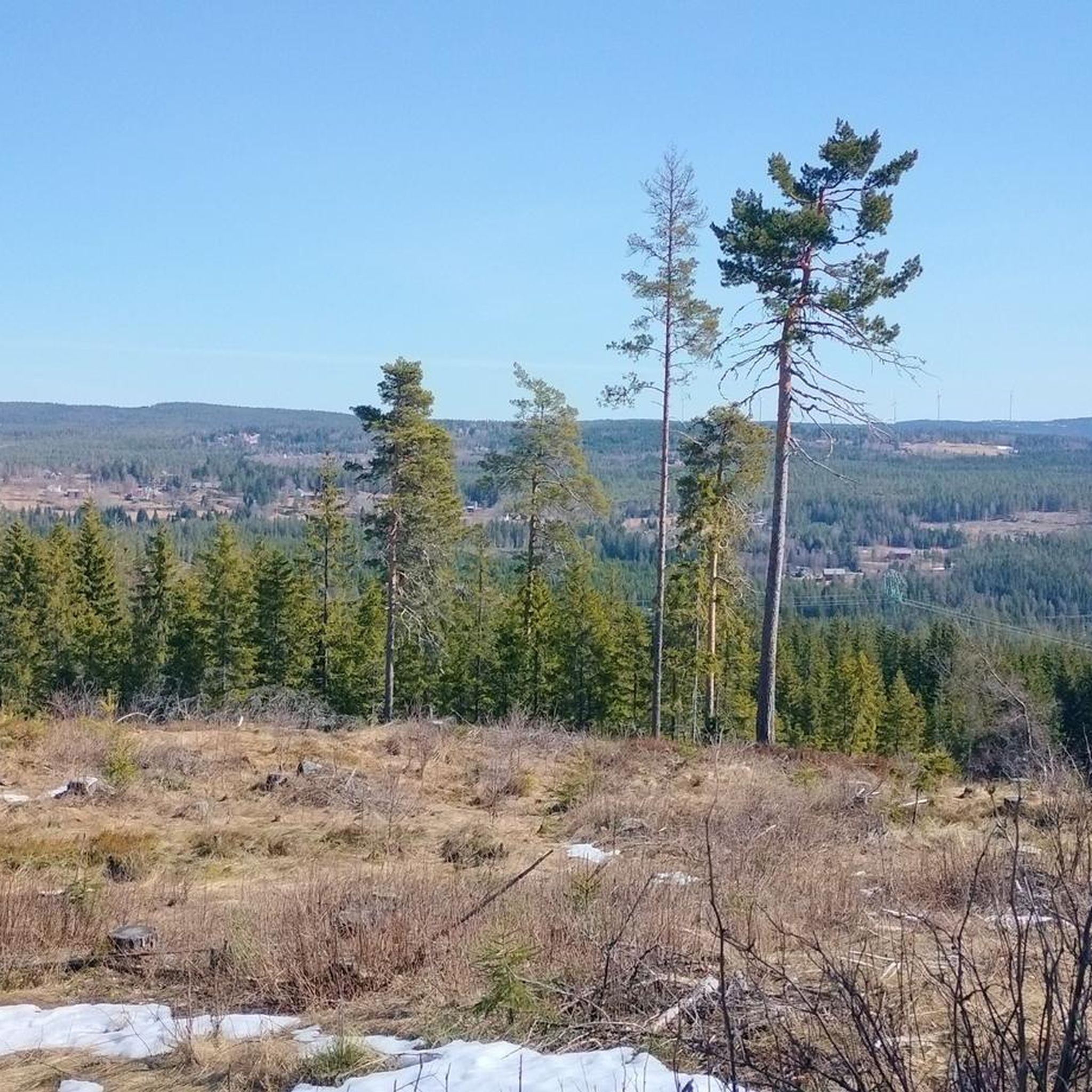
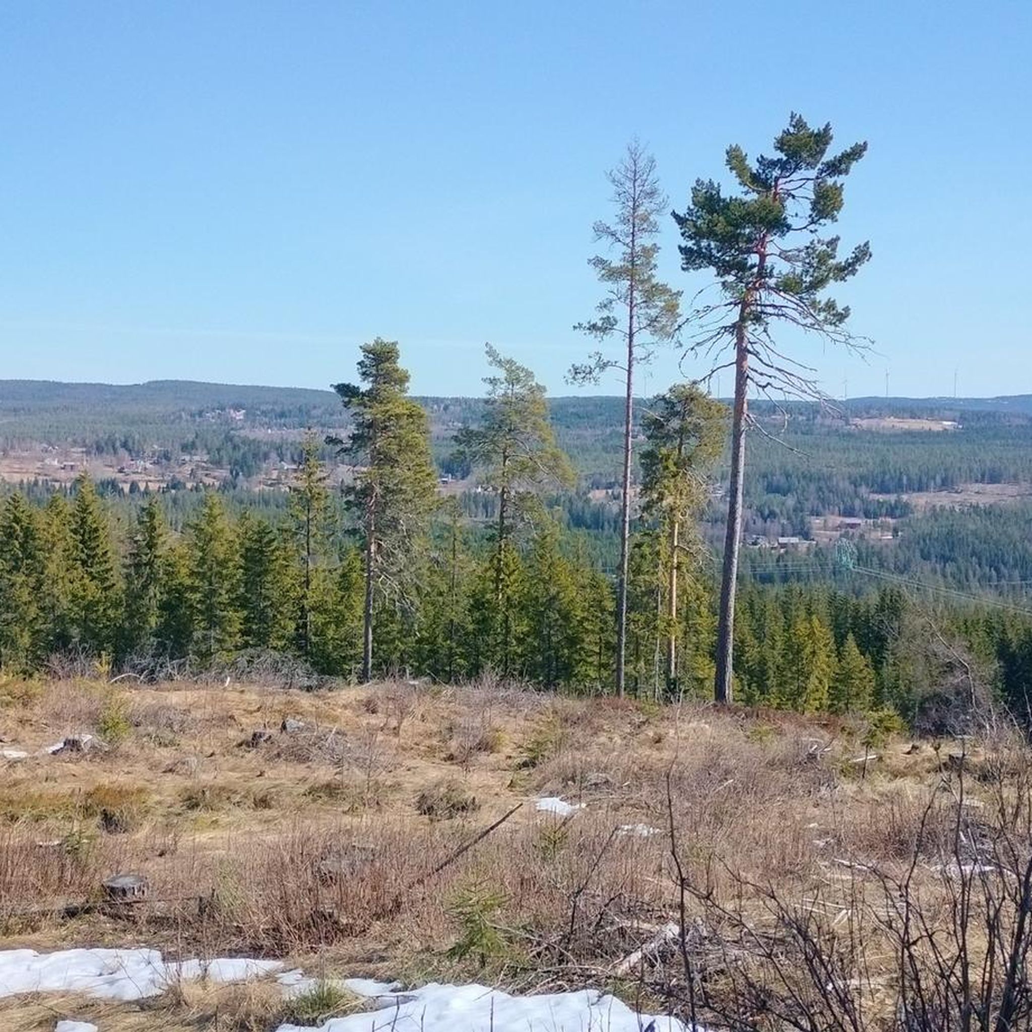
Fløyta lake is a beautiful scenic lake just east of Eidsvoll, and it sits along the historic Gudbrandsdalsleden section of the St. Olav's Way. It's a stunning lake surrounded by woodland.
0
0
The Great Finnkoll Round (Store Finnkollrunden) is a longer route than the "regular" Finnkoll Round. The Great Finnkoll Round is about 10 kilometres and will take you about two and a half hours at a decent pace. It is mostly a forest path, with about 3 kilometres on a gravel road that goes past beautiful Fløyta lake. There is lots of beautiful scenery and a few swim spots.
0
0
A single large stone makes for a quirky bridge here. It is a big lump of stone and must have taken a bit of effort to move it here. There is a comprehensive wooden bridge right next to it now. It all makes for a quaint little setting in the middle of the woods.
0
0
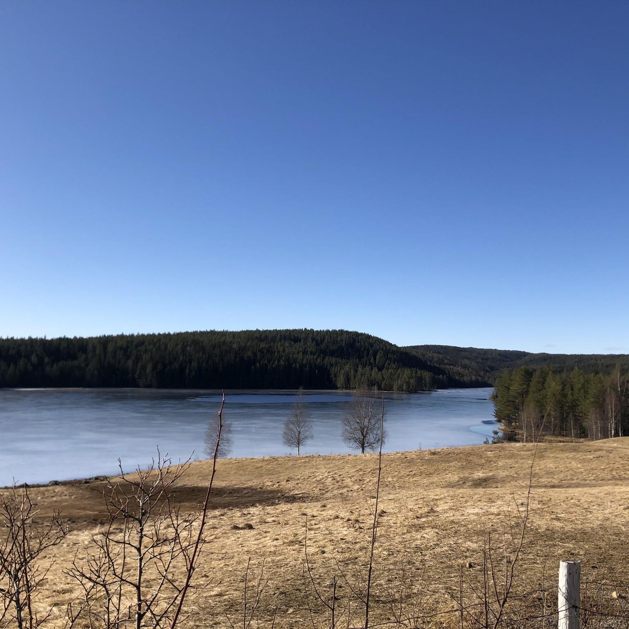
Setertjernet Lake is a picturesque spread of water set in a beautiful pine forest and surrounded by a myriad of hiking trails. It is a very tranquil spot and is a popular spot for hiking and family-orientated walks.
0
0

As in a fairytale ... a small wooden hut reduced to the bare minimum and without hot water. Nevertheless, with everything you need. The highlight is the romantic and cozy greenhouse.
1
0
Frequently Asked Questions
How many hiking trails are available in Jøndalsåsen Med Flere Tjern Og Vann Dyrelivsfredning?
Jøndalsåsen Med Flere Tjern Og Vann Dyrelivsfredning offers over 30 hiking routes. These trails provide a range of experiences, from easy walks to more moderate hikes, allowing visitors to explore the diverse natural landscape.
What kind of natural features can I expect to see while hiking in Jøndalsåsen?
The region is characterized by its diverse water bodies, including the Jøndalsåa river, Morttjernet, Ørekyttjernet, and Fiskeløysa. These lakes and the river create varied riparian landscapes and offer scenic views. As a wildlife sanctuary, it's also a tranquil environment where you can observe various bird species.
Are there easy hiking options suitable for beginners or casual walkers?
Yes, Jøndalsåsen Med Flere Tjern Og Vann Dyrelivsfredning has 17 easy hiking routes. An excellent option is the Setertjernet Lake loop from Setertjenn, which is 2.9 miles (4.6 km) long and typically takes about 1 hour 16 minutes to complete, leading through the natural landscape around Setertjernet.
Are there any circular routes available for hiking?
Many of the trails in Jøndalsåsen Med Flere Tjern Og Vann Dyrelivsfredning are circular, allowing you to start and end at the same point. For example, the Setertjernet Lake – Stone Bridge Over the Stream loop from Vorma dyrelivsfredning is an easy 4.5-mile (7.3 km) loop featuring views of Setertjernet Lake.
What is the best time of year to go hiking in Jøndalsåsen?
The best time to visit Jøndalsåsen Med Flere Tjern Og Vann Dyrelivsfredning for hiking is generally during the warmer months, from spring to autumn, when the trails are clear and the natural scenery is at its most vibrant. This allows for comfortable exploration of the water bodies and observation of birdlife.
Is Jøndalsåsen Med Flere Tjern Og Vann Dyrelivsfredning suitable for family hikes?
Yes, the area offers several family-friendly hiking options, particularly the easy routes. The tranquil environment and diverse water features make it an engaging place for children to explore nature. Look for trails with shorter distances and minimal elevation gain.
Can I bring my dog on the trails?
Jøndalsåsen Med Flere Tjern Og Vann Dyrelivsfredning is a wildlife sanctuary, primarily for birdlife. While specific regulations for dogs are not detailed here, it is generally advisable to keep dogs on a leash in protected areas to avoid disturbing wildlife. Always check local signage for current rules.
What do other hikers enjoy most about Jøndalsåsen Med Flere Tjern Og Vann Dyrelivsfredning?
The area is highly rated by the komoot community, with an average score of 4.7 stars from 20 reviews. Hikers often praise the tranquil natural setting, the scenic views of the numerous lakes and the river, and the peaceful atmosphere provided by the wildlife sanctuary.
Are there any moderate difficulty trails for more experienced hikers?
Yes, Jøndalsåsen Med Flere Tjern Og Vann Dyrelivsfredning includes 13 moderate trails. A popular choice is the Setertjernet Lake loop from Vorma dyrelivsfredning, a 4.5-mile (7.3 km) path that circles the lake, offering varied scenery and a slightly more challenging experience than the easy routes.
Where can I find parking for the hiking trails?
While specific parking locations are not detailed here, hiking areas in Norway typically have designated parking spots near trailheads. It is recommended to check the starting points of individual routes on komoot for precise parking information.
What kind of wildlife can I expect to see?
As a designated wildlife sanctuary, Jøndalsåsen Med Flere Tjern Og Vann Dyrelivsfredning is primarily protected for its birdlife. Visitors can expect to observe various bird species in their natural habitat, especially around the numerous water bodies. The undisturbed environment also supports other local fauna.
Are there any longer routes for a full day hike?
For a longer hike, consider the Haug Pilgrims' Rest Greenhouse loop from Skakkland, which is 7900 meters (4.9 miles) long and classified as moderate. This route offers a good distance for those looking to spend more time exploring the area.
Most popular routes in Jøndalsåsen Med Flere Tjern Og Vann Dyrelivsfredning

Get inspired with the komoot mobile app


Explore more
Browse the best Hikes in other regions.
