The best walks and hikes in Gaulosen Naturreservat
4.6
(416)
2,381
hikers
109
hikes
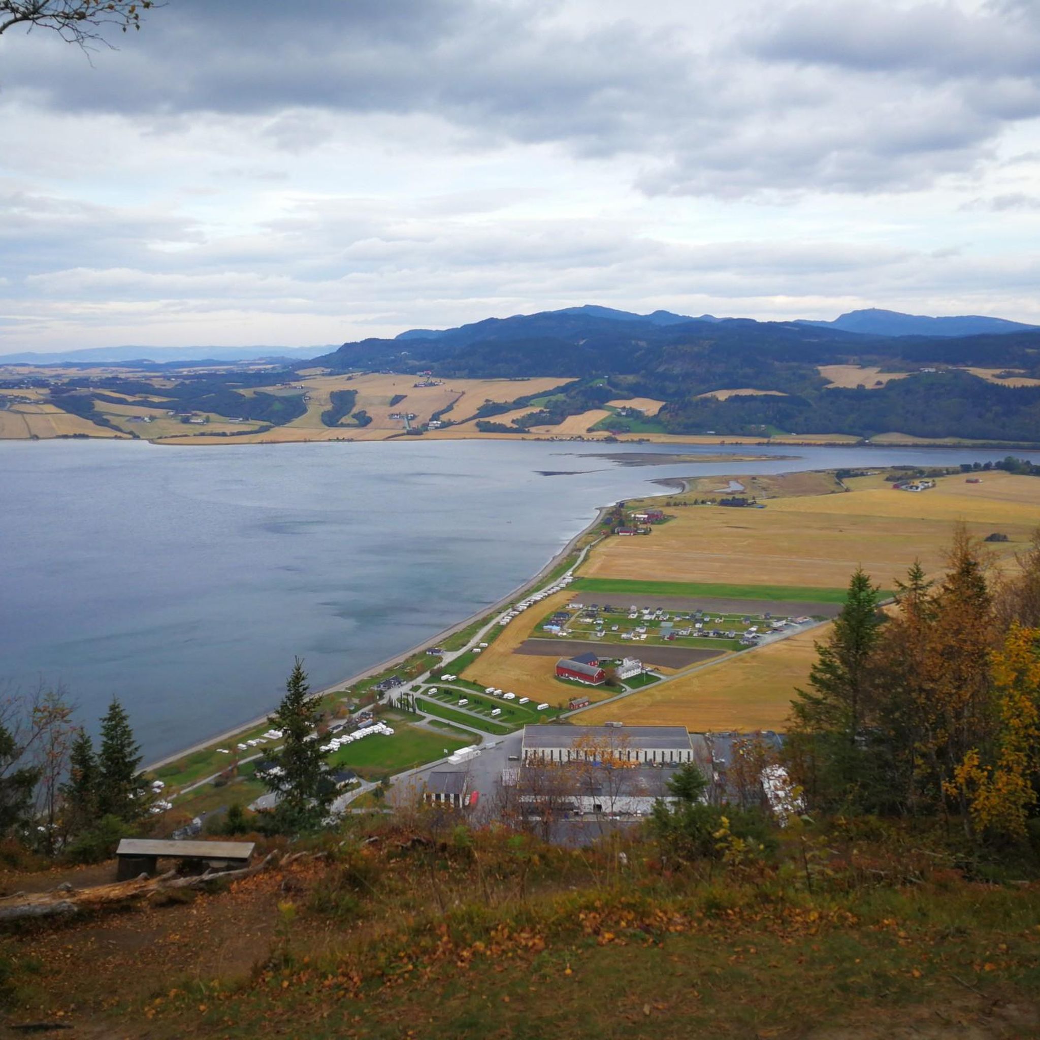
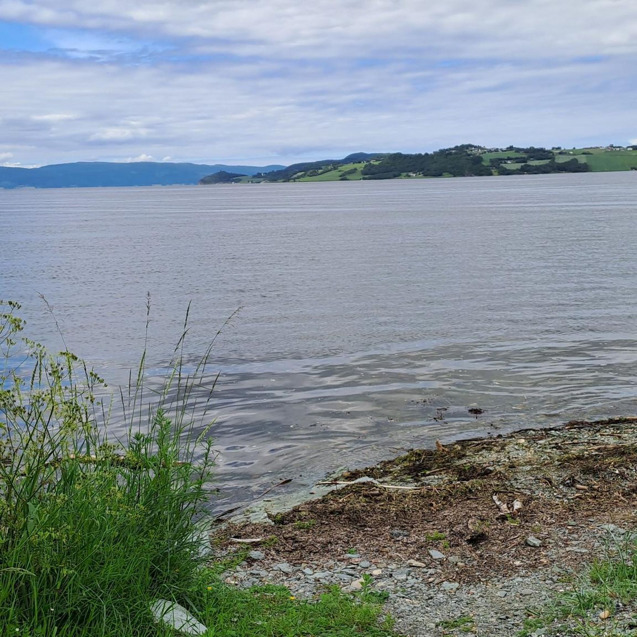
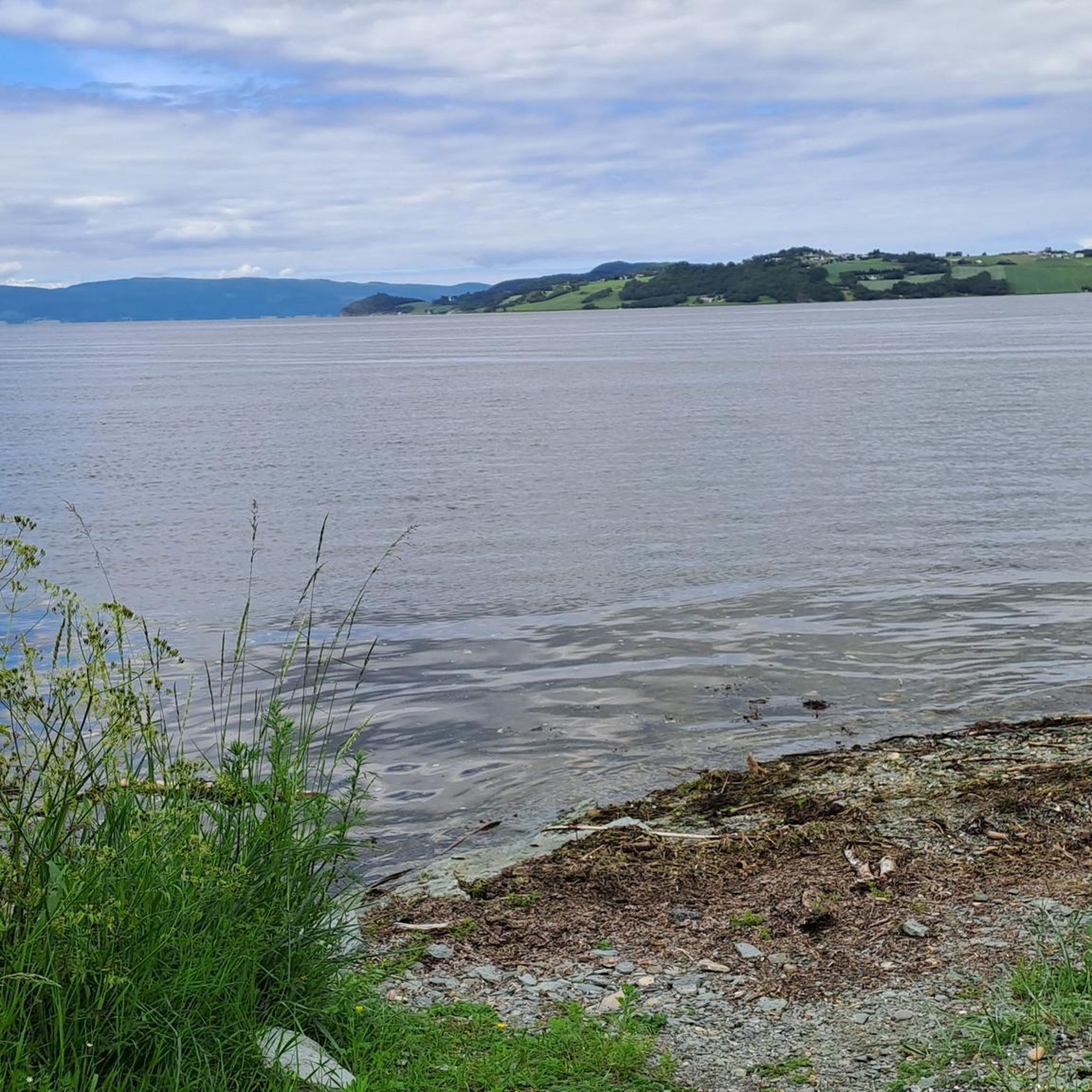
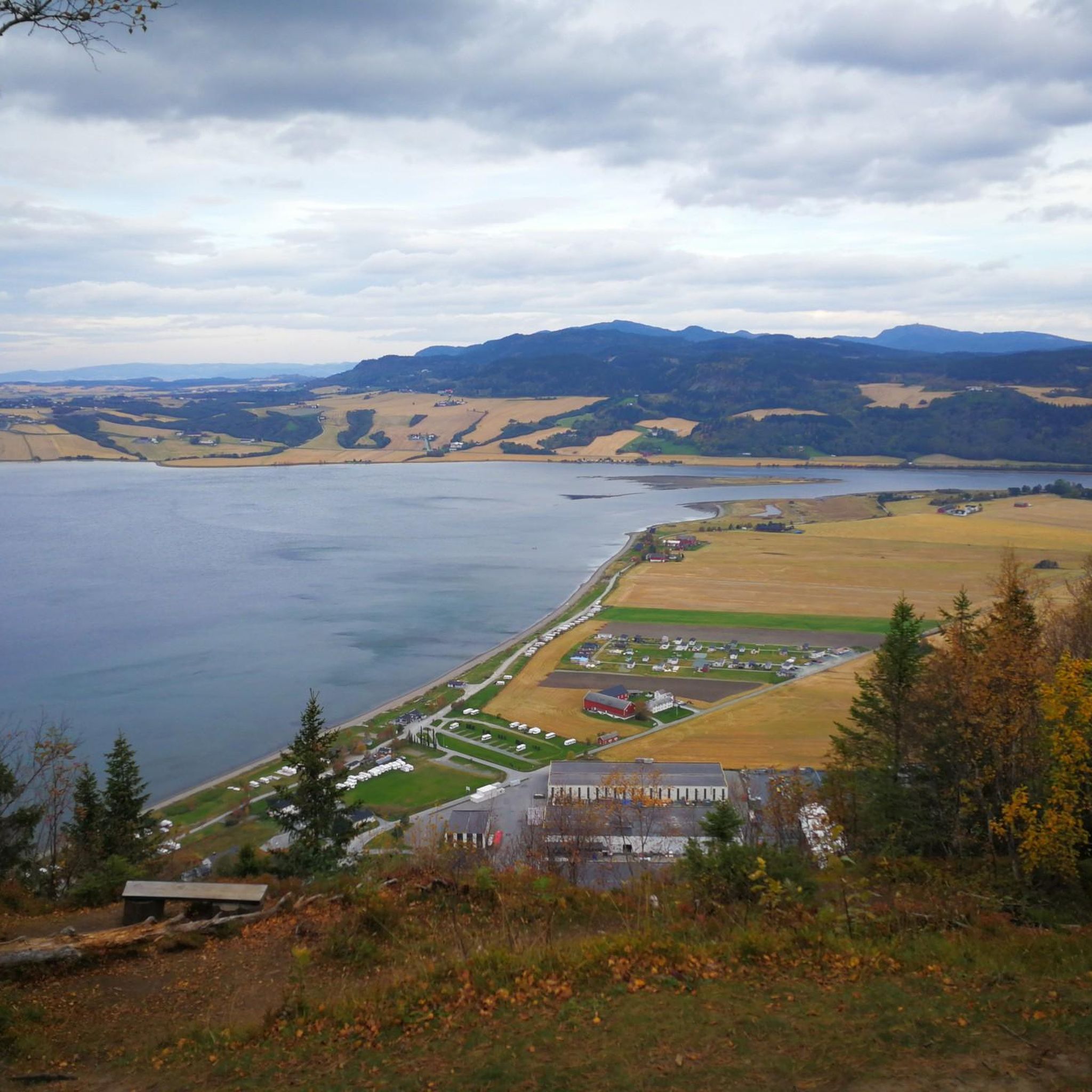
Hiking in Gaulosen Naturreservat offers access to a unique wetland ecosystem at the mouth of the Gaula River, where it meets the Trondheimsfjord. The terrain features expansive river delta and estuary environments, characterized by tidal flats and shallow areas. While generally flat, the reserve includes unpaved roads, narrow trails, and paved paths, with some routes incorporating relatively steep slopes leading down to the fjord. This provides a varied hiking experience across a largely undisturbed natural landscape.
Best hiking trails in Gaulosen Naturreservat
- The most popular hiking route is Rønningen – Leiråsen loop from Ringvål, a 5.9 miles (9.4 km) trail that takes 2 hours 33 minutes to complete. This moderate route offers varied terrain through the natural surroundings.
- Another top favourite among local hikers is Rønningen – Raubakken loop from Ringvål, an easy 4.4 miles (7.1 km) path. This trail provides a straightforward walk through the area's characteristic landscapes.
- Local hikers also love the Haugarommet (236 m) – Øyberget Summit (247 m) loop from Buvik kirke, a 2.1 miles (3.3 km) trail leading through hills and offering summit views, often completed in about 56 minutes.
- Hiking in Gaulosen Naturreservat is defined by its river delta, wetland areas, and fjord-side slopes. The network offers options for different ability levels, from easy paths to more challenging routes with elevation gain.
- The routes in Gaulosen Naturreservat are highly rated by the komoot community with an average score of 4.7 stars from over 370 reviews. More than 1,900 hikers have used komoot to explore Gaulosen Naturreservat's varied terrain.
Last updated: May 14, 2026
5.0
(1)
14
hikers
9.44km
02:33
130m
130m
Moderate hike. Good fitness required. Easily-accessible paths. Suitable for all skill levels.
4
hikers
Easy hike. Great for any fitness level. Easily-accessible paths. Suitable for all skill levels.

Sign up for free
5.0
(1)
14
hikers
7.70km
02:10
160m
160m
Moderate hike. Good fitness required. Easily-accessible paths. Suitable for all skill levels.
4
hikers
7.20km
02:13
260m
260m
Moderate hike. Good fitness required. Easily-accessible paths. Suitable for all skill levels.
4.0
(1)
68
hikers
5.25km
01:30
120m
120m
Easy hike. Great for any fitness level. Easily-accessible paths. Suitable for all skill levels.
Get access to more routes and recommendations from other explorers.
Sign up for free
Already have an account?
Our route recommendations are based on thousands of hikes, rides, and runs completed by other people on komoot.
Start today with a free account
Your next adventure awaits.
Login or Signup

Tips from the Community

With a history dating back to the 16th century, Rønningen is a charming place to take a break. The establishment has been serving food and drink since 1976 and is open to hikers in summer and cross country skiers in winter.
1
0

Frequently Asked Questions
How many hiking trails are available in Gaulosen Naturreservat?
Gaulosen Naturreservat offers a wide variety of hiking experiences, with over 100 routes available. These trails cater to different fitness levels, including 41 easy routes, 59 moderate routes, and 8 more challenging options.
What kind of terrain can I expect when hiking in Gaulosen Naturreservat?
The terrain in Gaulosen Naturreservat is quite varied, reflecting its unique position as a river delta meeting the Trondheimsfjord. You'll find expansive tidal flats and shallow areas, along with unpaved roads, narrow trails, and paved paths. Some routes also feature relatively steep slopes leading down to the fjord, offering a mix of flat and undulating landscapes.
Are there any good viewpoints or natural features to look out for?
Yes, Gaulosen Naturreservat is rich in natural features. As a significant wetland ecosystem, it offers excellent opportunities to observe its diverse river delta and estuary environments. The reserve is particularly renowned for its rich birdlife, with over 200 species recorded. You can find bird hides and platforms for optimal birdwatching. While there are no specific 'viewpoints' in the traditional sense, the open delta landscape provides expansive views of the wetland and fjord.
What is the best time of year to visit Gaulosen Naturreservat for hiking?
The reserve is particularly vibrant during spring and autumn migrations, when thousands of waterbirds and shorebirds use the area as a crucial feeding and resting ground. This makes these seasons ideal for birdwatching enthusiasts. However, the varied terrain, from easy paths to more challenging routes, can be enjoyed throughout the warmer months, offering different natural beauty depending on the season.
Is Gaulosen Naturreservat suitable for family-friendly hikes?
Yes, Gaulosen Naturreservat offers several easy paths that are well-suited for families. The generally flat and accessible nature of much of the reserve, combined with opportunities for birdwatching, makes it an engaging destination for all ages. An example of an easy route is the Haugarommet (236 m) – Øyberget Summit (247 m) loop from Buvik kirke, which is 3.3 km long and takes about 56 minutes.
Are there any circular hiking routes in the area?
Yes, many of the trails in Gaulosen Naturreservat are designed as circular routes, allowing you to start and end at the same point. For instance, the Blåberga – Langberga loop from Blekesmarka is a moderate 7.95 km circular hike that takes you through varied landscapes.
What do other hikers enjoy most about hiking in Gaulosen Naturreservat?
The area is highly rated by the komoot community, with an average score of 4.7 stars from over 370 reviews. Hikers often praise the unique wetland environment, the rich birdlife, and the opportunity to experience a largely undisturbed river delta. The variety of trails, from easy walks to more challenging routes with elevation gain, is also frequently highlighted.
Can I bring my dog on the trails in Gaulosen Naturreservat?
While the guide data does not specify dog-friendly policies, nature reserves often have regulations regarding dogs to protect wildlife. It is generally advisable to keep dogs on a leash in such sensitive ecosystems, especially given the rich birdlife in Gaulosen Naturreservat. Please check local signage or official reserve guidelines before your visit to ensure compliance.
Are there any trails that offer views of the Trondheimsfjord?
Yes, as the reserve is situated at the mouth of the Gaula River where it meets the Trondheimsfjord, many trails offer glimpses or direct views of the fjord. Some routes incorporate relatively steep slopes leading down to the fjord, providing scenic perspectives of the water and surrounding landscape.
What is the longest moderate hike available in the reserve?
One of the longer moderate hikes is the Rønningen – Leiråsen loop from Ringvål. This trail spans 9.4 km and typically takes around 2 hours and 33 minutes to complete, offering varied terrain through the natural surroundings.
Are there any trails with significant elevation gain for a more challenging hike?
While much of the reserve is a lowland wetland, some routes do offer elevation gain. For example, the Vigda River Mouth – Buvika Church loop from Pundslia is a moderate 8 km hike with an elevation gain of approximately 283 meters, providing a more strenuous experience.
Most popular routes in Gaulosen Naturreservat

Get inspired with the komoot mobile app


Explore more
Browse the best Hikes in other regions.
