The best walks and hikes in Kirkeneshalvøya Dyrelivsfredning
4.5
(86)
390
hikers
27
hikes
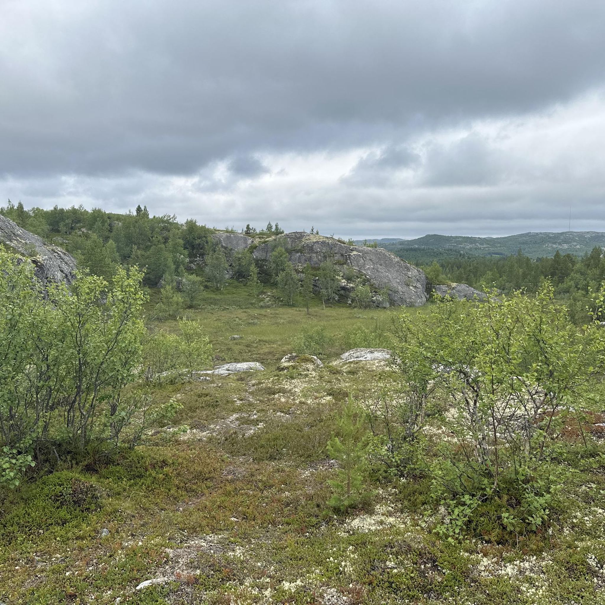
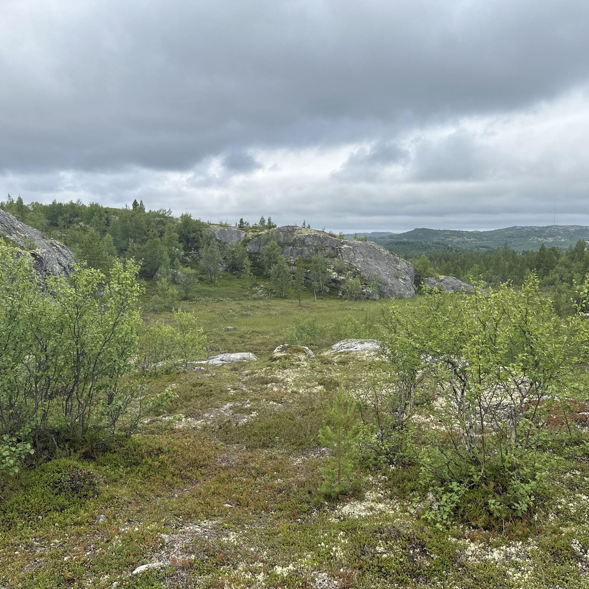
Hiking in Kirkeneshalvøya Dyrelivsfredning offers diverse landscapes shaped by the Ice Age, featuring the rugged Barents Sea coastline and the primeval forests and wetlands of the Pasvik Valley. The region's terrain includes fells, with elevations typically remaining below 200 meters, making many trails accessible. This environment provides varied natural features for outdoor exploration.
Best hiking trails in Kirkeneshalvøya Dyrelivsfredning
- The most popular hiking route is Prestevann Loop, a 3.5 miles (5.7 km) trail that takes 1 hour 36 minutes to complete, offering picturesque views of Lake Prestevatn.
- Another top favourite among local hikers is Skytterhusfjellet panoramic loop, a moderate 5.5 miles (8.9 km) path. This route provides panoramic views from the fells.
- Local hikers also love the Kirkenes Town Square – Kirkenes Church loop from Kirkenes, a 3.1 miles (5.0 km) trail leading through urban and natural surroundings, often completed in about 1 hour 20 minutes.
- Hiking in Kirkeneshalvøya Dyrelivsfredning is defined by Ice Age-shaped landscapes, the Barents Sea coastline, and Pasvik Valley forests and wetlands. The network of trails offers options for different ability levels, from easy walks to moderate hikes.
- The routes in Kirkeneshalvøya Dyrelivsfredning are highly rated by the komoot community with an average score of 4.5 stars from over 70 reviews. More than 300 hikers have used komoot to explore Kirkeneshalvøya Dyrelivsfredning's varied terrain.
Last updated: October 10, 2026
4.4
(8)
26
hikers
5.70km
01:37
120m
120m
Easy hike. Great for any fitness level. Easily-accessible paths. Suitable for all skill levels.
4.0
(4)
13
hikers
8.91km
02:31
180m
180m
Moderate hike. Good fitness required. Mostly accessible paths. Sure-footedness required.

3
hikers
10.1km
02:49
190m
190m
Moderate hike. Good fitness required. Easily-accessible paths. Suitable for all skill levels.
4.7
(13)
43
hikers
9.13km
02:30
150m
140m
Moderate hike. Good fitness required. Easily-accessible paths. Suitable for all skill levels.
4.6
(5)
30
hikers
4.95km
01:21
70m
70m
Easy hike. Great for any fitness level. Easily-accessible paths. Suitable for all skill levels.
Get access to more routes and recommendations from other explorers.
Already have an account?
Our route recommendations are based on thousands of hikes, rides, and runs completed by other people on komoot.
Start today with a free account
Your next adventure awaits.
Popular around Kirkeneshalvøya Dyrelivsfredning
Tips from the Community

A small marketplace with a water feature, a children's play area, and the Monument to War Mothers from 1994. Beautifully planted in summer.
1
0
The Kirkenes Church (Kirkenes Kirche) is a white concrete church built in 1959. It stands on the site of its predecessor from 1862, which was destroyed in World War II in 1944. Particularly beautiful is the view of the Varangerfjord from the parking lot below the church.
1
0

At this point, you have a beautiful view of the vast lake. Incidentally, there are quite a few lakes waiting for you in this region.
0
0

A scenic hiking trail and sweeping views of the city and harbor: a recipe for a very special hike.
0
0
From your high viewpoint, you can enjoy the sweeping views of the harbor. The ships look like small white dots in the water.
0
0

The Andersgrotta is a World War II air-raid shelter located in the center of Kirkenes. Civilians sought refuge here during the more than 300 air raids against Kirkenes. In the Andersgrotta, you can watch a film about Kirkenes during the war, based on archival and newly filmed footage.
1
0

Arguably one of the oldest houses in Kirkenes. The city was the most heavily bombed in Norway during World War II.
0
0

It's a great place for hiking.
0
0
Frequently Asked Questions
How many hiking trails are there in Kirkeneshalvøya Dyrelivsfredning?
There are over 25 hiking trails in Kirkeneshalvøya Dyrelivsfredning, offering a variety of experiences. Most of these, about two-thirds, are considered easy, while the remaining trails are moderate.
What is the terrain like in Kirkeneshalvøya Dyrelivsfredning?
The terrain is diverse, shaped by the Ice Age, featuring the rugged Barents Sea coastline, primeval forests, and wetlands of the Pasvik Valley. You'll also find fells, with elevations generally staying below 200 meters, making many trails accessible for various fitness levels.
Are there any family-friendly hiking trails in the area?
Yes, many trails in Kirkeneshalvøya Dyrelivsfredning are suitable for families. The region is known for its accessible paths and easy hikes. A good option is the Kirkenes Town Square – Kirkenes Church loop from Kirkenes, which is 3.1 miles (5.0 km) and offers both urban and natural surroundings.
Can I bring my dog on the trails?
Generally, dogs are welcome on trails in Kirkeneshalvøya Dyrelivsfredning, but it's always best to keep them on a leash, especially in wildlife protection areas or during nesting seasons. Always check local signage for specific restrictions.
Are there circular routes available for hiking?
Yes, there are several excellent circular routes. A popular choice is the Prestevann Loop, a 3.5-mile trail offering picturesque views of Lake Prestevatn. Another option is the moderate Skytterhusfjellet panoramic loop, which provides sweeping views from the fells.
What kind of natural features or viewpoints can I expect to see?
You can expect dramatic Ice Age-shaped landscapes, views of the Barents Sea coastline, and the serene forests and wetlands of the Pasvik Valley. Many trails offer picturesque views of Lake Prestevatn, and elevated points provide vistas of Kirkenes town, Kirkenes Church, and Kirkenes Harbor. Don't miss the View of the Lake Prestevatn.
Are there any historical or cultural sites to explore while hiking?
Yes, the region offers historical insights. In Kirkenes, you can visit the Andersgrotta World War II Bomb Shelter, a significant historical site. You might also encounter the Soviet Liberation Memorial or a historic wooden house atop an old bunker.
What are the options for public transport to trailheads?
While specific bus routes to individual trailheads might be limited, Kirkenes serves as a central hub. Local buses operate within and around Kirkenes. For trails further afield, a car is often recommended for easier access. Check local transport schedules for the most up-to-date information.
Is parking available at the trailheads?
Parking availability varies by trailhead. For trails closer to Kirkenes town, you may find designated parking areas. For more remote routes, roadside parking might be an option. It's advisable to check specific route details or local maps for parking information before you go.
Do I need a permit to hike in Kirkeneshalvøya Dyrelivsfredning?
Generally, no specific permits are required for day hiking in Kirkeneshalvøya Dyrelivsfredning. However, if you plan to venture into the adjacent Øvre Pasvik National Park or engage in activities like hunting or fishing, different regulations and permits may apply. Always respect local conservation rules.
What is the best time of year to go hiking in Kirkeneshalvøya Dyrelivsfredning?
The best time for hiking is typically during the summer months, from June to August, when the weather is mild, and the days are long. This period offers the most accessible conditions and vibrant natural scenery. Autumn also provides beautiful colors, though temperatures will be cooler.
What do other hikers say about the trails in Kirkeneshalvøya Dyrelivsfredning?
The trails in Kirkeneshalvøya Dyrelivsfredning are highly rated by the komoot community, with an average score of 4.5 stars from over 70 reviews. Hikers often praise the diverse landscapes, the accessibility of many routes, and the unique Arctic environment.
Where can I find amenities like cafes or accommodation near the trails?
Kirkenes town is the main center for amenities. You'll find various cafes, restaurants, and accommodation options there. Some trails, like the Kirkenes Town Square – Kirkenes Church loop, even pass through parts of the town, making it easy to access facilities before or after your hike.
Most popular routes in Kirkeneshalvøya Dyrelivsfredning
Most popular attractions in Kirkeneshalvøya Dyrelivsfredning

Get inspired with the komoot mobile app


Explore more
Browse the best Hikes in other regions.
