The best road cycling routes in Narawntapu National Park
27
riders
3
rides
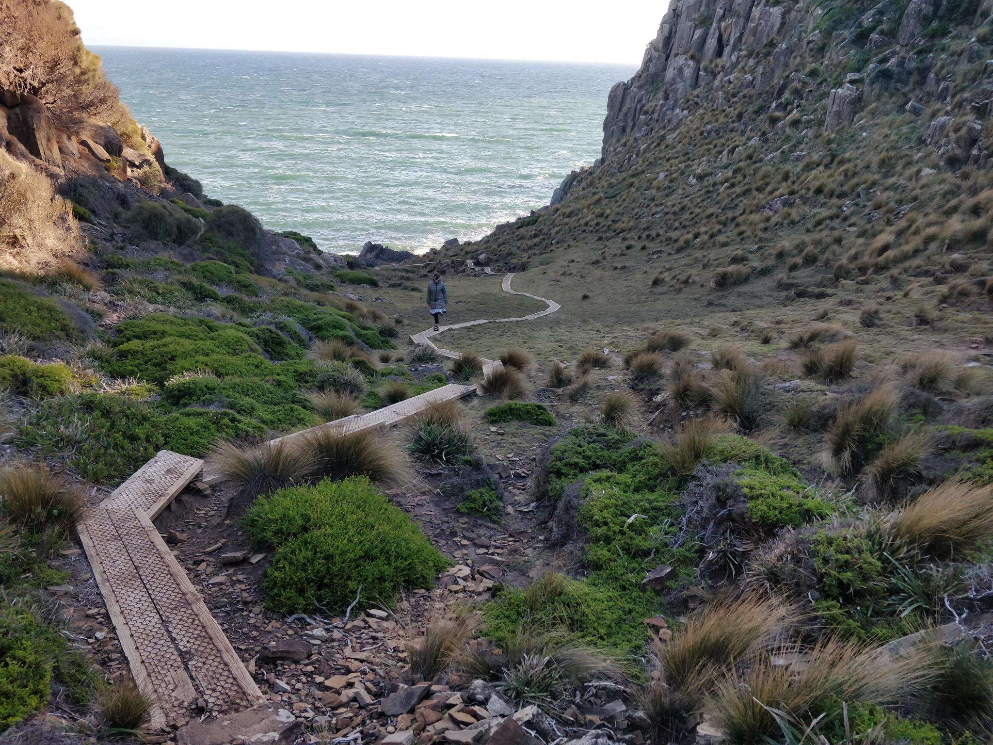
Road cycling in Narawntapu National Park offers routes through diverse landscapes, including coastal heathlands, expansive grasslands, and dry sclerophyll woodlands. The park features long, sweeping beaches and wetlands, providing varied scenery for cyclists. Roads are generally accessible, with mostly paved surfaces suitable for different skill levels. The terrain includes gentle coastal stretches and some rolling hills, offering a blend of easy rides and more challenging moderate routes.
Best road cycling routes in Narawntapu National Park
- The most popular road cycling…
Last updated: May 13, 2026
18
riders
53.6km
02:16
330m
330m
Moderate road ride. Good fitness required. Some segments of this route may be unpaved and difficult to ride.
5
riders
29.0km
01:16
220m
220m
Easy road ride. Great for any fitness level. Mostly well-paved surfaces and easy to ride.

Sign up for free
4
riders
55.8km
02:33
380m
380m
Moderate road ride. Good fitness required. Some segments of this route may be unpaved and difficult to ride.
Our route recommendations are based on thousands of hikes, rides, and runs completed by other people on komoot.
Start today with a free account
Your next adventure awaits.
Login or Signup
Popular around Narawntapu National Park
Frequently Asked Questions
How many road cycling routes are available in Narawntapu National Park?
Komoot features three distinct road cycling routes within Narawntapu National Park and its immediate surroundings. These routes offer a range of experiences, from easy coastal rides to more moderate loops through varied landscapes.
What kind of terrain can I expect when road cycling in Narawntapu National Park?
Road cycling in Narawntapu National Park offers a mix of terrain. You'll find mostly paved surfaces, with routes traversing coastal heathlands, expansive grasslands, and dry sclerophyll woodlands. While some routes feature gentle coastal stretches, others include rolling hills, providing a blend of easy and moderately challenging sections. For instance, the Dooleys Hill loop from Port Sorell includes some elevation changes, offering views of coastal areas and farmlands.
Are there any family-friendly road cycling routes in the park?
Yes, Narawntapu National Park offers accessible road cycling routes suitable for various skill levels, including family-friendly options. The Farm Dam loop from Hawley Beach is an easy 18.0-mile (29.0 km) path that provides a pleasant ride near the coast, often featuring open plains. These routes are generally on mostly paved surfaces, making them suitable for a relaxed family outing.
Can I find circular road cycling routes in Narawntapu National Park?
Yes, all the featured road cycling routes in Narawntapu National Park are designed as loops, allowing you to start and finish at the same point. Examples include the Dooleys Hill loop from Port Sorell, the Farm Dam loop from Hawley Beach, and the Low Head Conservation Area loop from Low Head Historic Site, providing convenient options for your ride.
What are the best times of year for road biking in Narawntapu National Park?
Narawntapu National Park is generally pleasant for road cycling throughout much of the year. However, spring and autumn often offer the most comfortable temperatures and stable weather conditions. These seasons also provide excellent opportunities for wildlife spotting, especially around dawn and dusk, when marsupials are most active in the open plains.
Where can I park my car when visiting for a road cycling trip?
Parking is generally available at key access points and visitor facilities within and around Narawntapu National Park. For example, Springlawn, which serves as a gateway to the park, offers visitor facilities including parking. Routes often start from nearby towns like Port Sorell or Hawley Beach, where parking options are typically available.
What kind of wildlife might I see while cycling?
Narawntapu National Park is renowned for its abundant wildlife. While cycling through the open plains, especially near Springlawn, you have a high chance of spotting Forester kangaroos, Bennett's wallabies, and pademelons. The park's wetlands and lagoons also attract a diverse range of waterbirds. Dawn and dusk are particularly good times for wildlife observation.
Are there any scenic viewpoints or landmarks to look out for?
Absolutely. The park offers numerous scenic vistas. Griffiths Point, at the western end of Bakers Beach, is known for spectacular sunset views. For panoramic views of the park's diverse landscapes, from wetlands to heathlands and the ocean, Archers Knob lookout is a notable point of interest, though it may involve a short walk from a cycling access point. The Low Head Conservation Area loop also leads through historical points.
Are there facilities like cafes or accommodation near the cycling routes?
While Narawntapu National Park itself focuses on natural experiences, visitor facilities are available at Springlawn, including a visitor center, picnic areas, and toilet facilities. For cafes and accommodation, you would typically find options in nearby towns such as Port Sorell, Shearwater, or Devonport, which serve as convenient starting points for many of the park's cycling routes.
What makes Narawntapu National Park unique for road cycling?
Narawntapu National Park, often called the 'Serengeti of Tasmania,' offers a unique blend of diverse and scenic landscapes for road cyclists. Its coastal heathlands, expansive grasslands, and woodlands provide a dynamic backdrop, while the frequent sightings of marsupial wildlife like kangaroos and wallabies make for an exceptionally picturesque and memorable cycling experience. The park's accessible, mostly paved routes cater to various skill levels, allowing riders to immerse themselves in nature.
Are there any specific regulations or permits needed for cycling in the National Park?
As Narawntapu is a National Park, standard park regulations apply. While general cycling on designated roads is usually permitted, it's always advisable to check the official park website for any specific rules regarding cycling, such as restricted areas or seasonal closures. For detailed information, you can visit the Parks Tasmania website.
What do other cyclists say about road cycling in Narawntapu National Park?
Over 20 road cyclists have used komoot to explore Narawntapu National Park, indicating a growing interest in the area. Cyclists often praise the park's varied terrain and the unique opportunity to combine physical activity with abundant wildlife spotting in a stunning natural setting. The accessible routes and scenic coastal views are frequently highlighted as major draws.
Most popular routes in Narawntapu National Park

Get inspired with the komoot mobile app


Explore more
Browse the best Road cycling routes in other regions.
