The best road cycling routes in Mount Porepunkah Scenic Reserve
5.0
(1)
1,054
riders
6
rides
Road cycling in Mount Porepunkah Scenic Reserve traverses the varied terrain of Victoria's High Country, characterized by significant elevation changes and scenic river valleys. The region features sealed roads that wind through agricultural landscapes, including vineyards and orchards. Road cyclists can expect routes that navigate through hills and provide access to expansive vistas, with prominent natural features like Mount Buffalo visible.
Best road cycling routes in Mount Porepunkah Scenic Reserve
- The most popular road cycling route is Mount Buffalo Chalet…
Last updated: November 9, 2026
7
riders
Moderate road ride. Some segments of this route may be unpaved and difficult to ride.
11
riders
17.0km
00:41
90m
90m
Easy road ride. Mostly well-paved surfaces and easy to ride.

389
riders
70.2km
03:03
480m
480m
Moderate road ride. Good fitness required. Some segments of this route may be unpaved and difficult to ride.
325
riders
41.3km
02:11
710m
710m
Moderate road ride. Good fitness required. Some segments of this route may be unpaved and difficult to ride.
92
riders
17.9km
00:46
80m
80m
Easy road ride. Mostly well-paved surfaces and easy to ride.
Our route recommendations are based on thousands of hikes, rides, and runs completed by other people on komoot.
Start today with a free account
Your next adventure awaits.
Tips from the Community

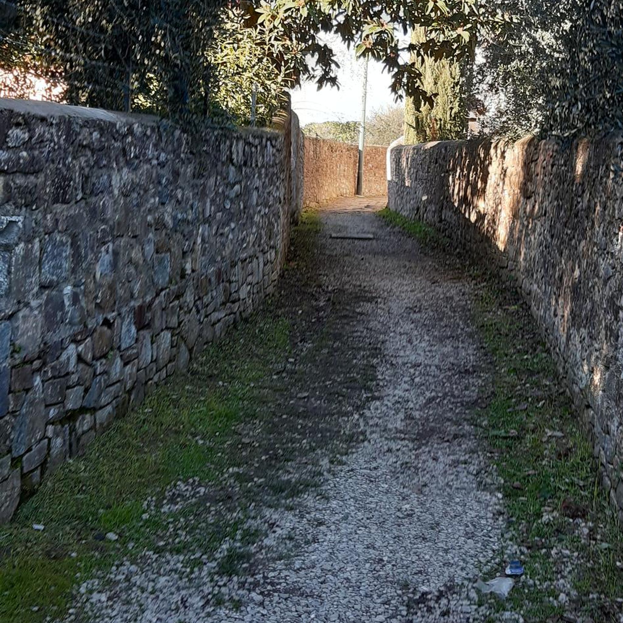
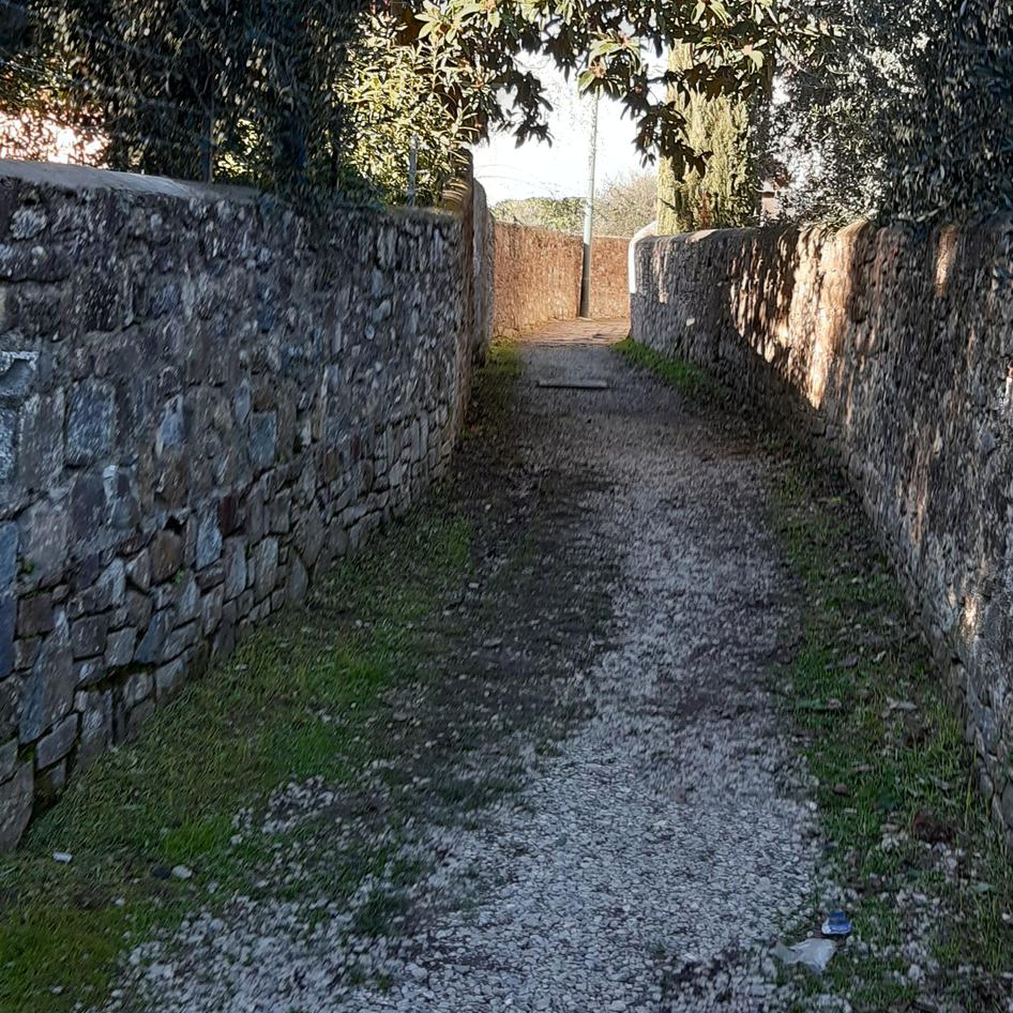
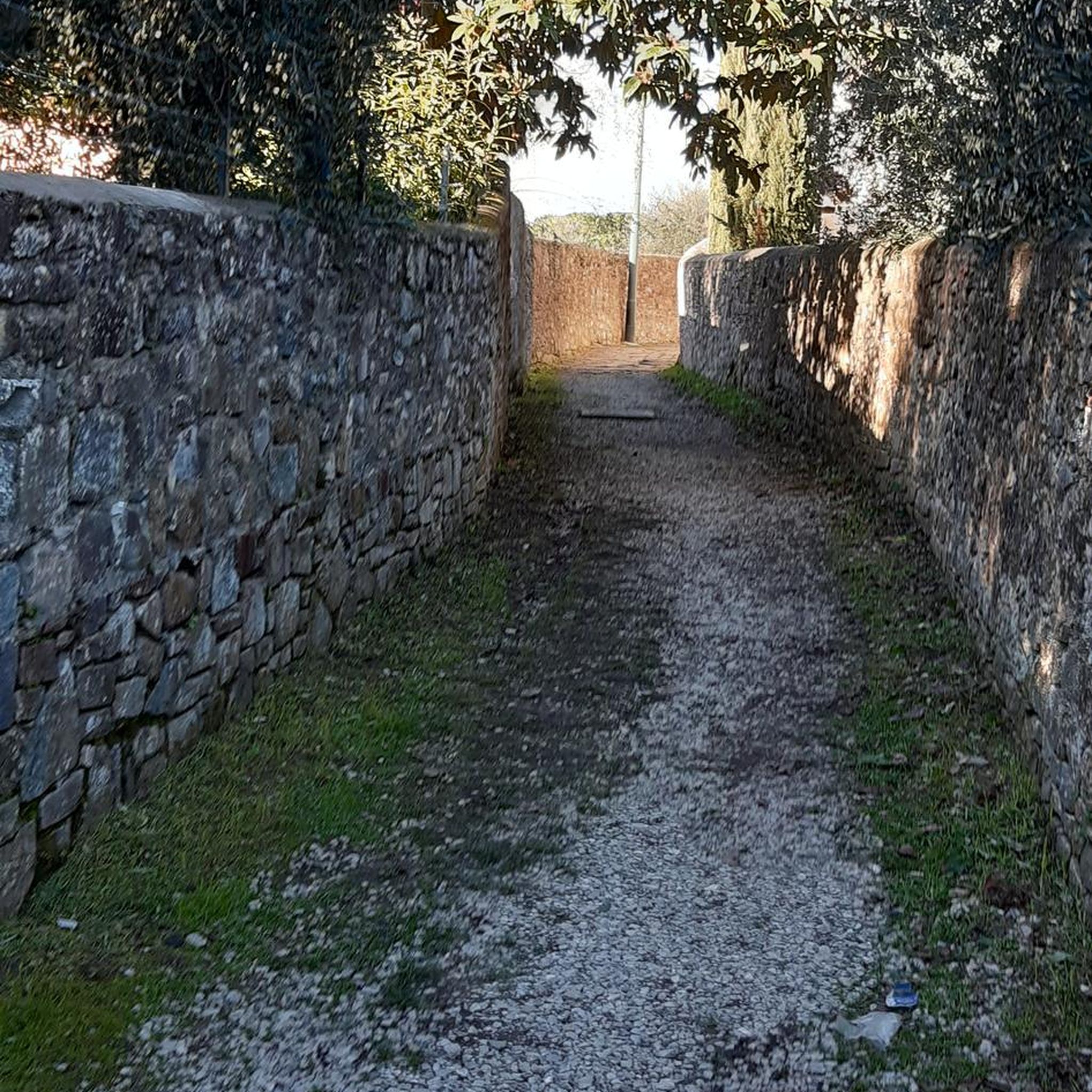
The Murray to Mountains Rail Trail is a network of more than 120 kilometres of sealed, off-road going through Victoria’s High Country, linking towns including Wangaratta, Beechworth, Myrtleford and Bright. This Bright to Porepunkah section is a much shorter 6.6-kilometre stretch, following the old railway corridor past trees, open countryside and Bright Golf Club, with Mount Buffalo becoming more prominent as you approach Porepunkah.
0
0
Riverside Park sits right on the Ovens River in the centre of Porepunkah, making it a great place to stop along the rail trail. There are picnic tables, barbecues, toilets, a playground and plenty of grass by the water, plus views towards Mount Buffalo. In the warmer months, the river is dammed to create a swimming area, with a separate shallow pool for younger children.
0
0
The Ovens River flows through Bright as a clear, fast-moving alpine river, running for about 191 kilometres from the Victorian Alps to the Murray River. In this section, it moves over rocks and through small drops, forming pools and a short canyon carved into the riverbank. It’s a central feature of the town, with easy access to the water along walking tracks and parks. Conditions can change after rain, so take care near the river’s edge.
0
0
Frequently Asked Questions
What are the difficulty levels of road cycling routes in Mount Porepunkah Scenic Reserve?
Mount Porepunkah Scenic Reserve offers a range of road cycling routes, from moderate to difficult. The terrain is characterized by significant elevation changes, catering to cyclists looking for a challenge. There are 3 difficult routes, 7 moderate routes, and 3 easy routes available.
Are there challenging road cycling routes for experienced riders?
Yes, experienced riders will find several challenging routes. For instance, the Mount Buffalo Chalet Climb – Tawonga Gap Lookout loop from Bright is a difficult 85.7-mile (137.9 km) route with over 6,700 feet (2,048 m) of elevation gain. Another demanding option is the Tawonga Gap Lookout loop from Bright, covering 43.2 miles (69.6 km) with over 4,600 feet (1,424 m) of climbing.
Are there beginner-friendly road cycling routes in the reserve?
While many routes feature significant climbs, there are some easier options. The region's network includes 3 routes classified as easy, often traversing agricultural landscapes and river valleys with less demanding elevation profiles. These routes are ideal for those new to road cycling in the area.
What is the typical length of road cycling routes in Mount Porepunkah Scenic Reserve?
Route lengths vary significantly. You can find shorter loops, such as the Roadbike loop from Porepunkah at about 15.4 miles (24.7 km), up to extensive rides like the Mount Buffalo Chalet Climb – Tawonga Gap Lookout loop from Bright, which is 85.7 miles (137.9 km) long.
Where do road cycling routes typically start in Mount Porepunkah Scenic Reserve?
Many popular road cycling routes in the area, including those leading to Mount Buffalo and Tawonga Gap, commonly start from the town of Bright. Porepunkah is also a frequent starting point for local loops.
What is the best time of year for road cycling in Mount Porepunkah Scenic Reserve?
The warmer months, particularly spring (September to November) and autumn (March to May), are generally ideal. Spring offers lush landscapes, while autumn provides stunning foliage. Summer can be hot, especially on climbs, and winter brings colder temperatures and potential for snow at higher elevations like Mount Buffalo.
Are there places to stop for refreshments or food along the road cycling routes?
Yes, towns like Bright and Porepunkah offer various cafes and eateries. Some routes, such as the Creamery Café loop from Bright, are specifically designed to include refreshment stops, allowing cyclists to refuel and relax.
What scenic viewpoints can I expect on road cycling routes?
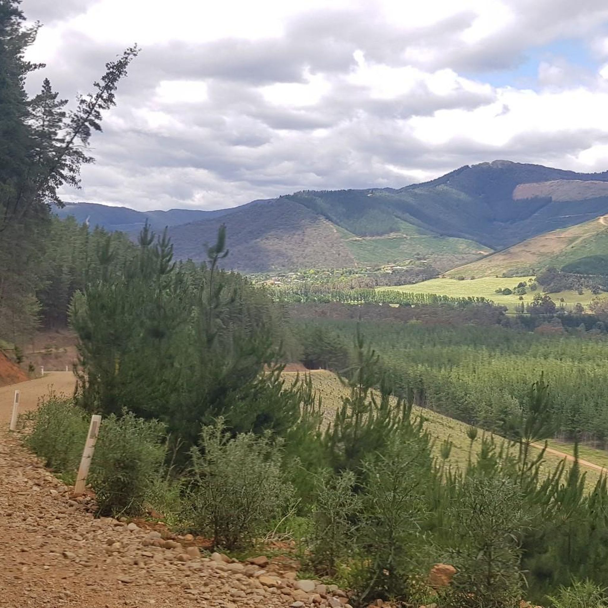
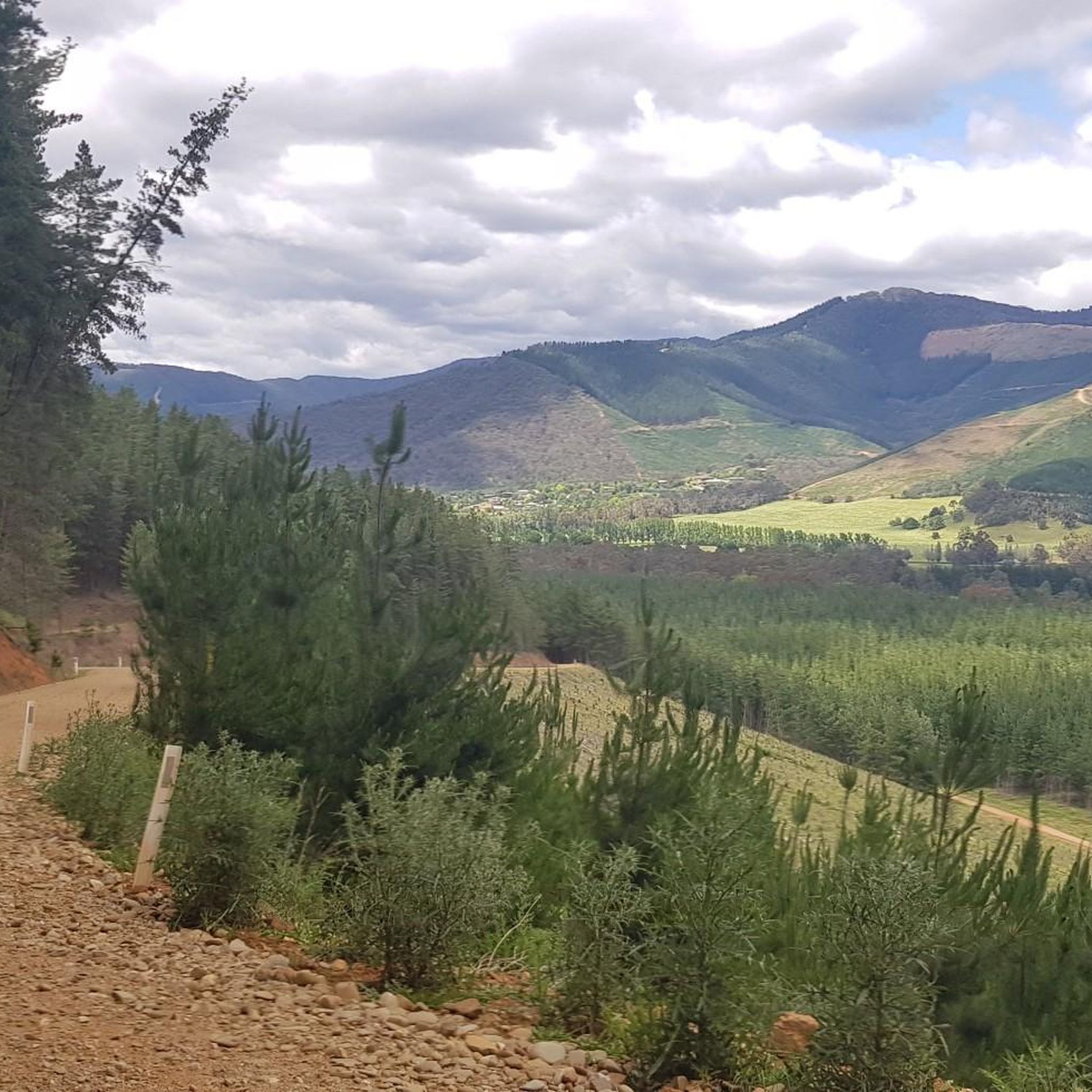
Road cycling in Mount Porepunkah Scenic Reserve offers expansive vistas, especially on routes that climb to higher elevations. You can expect panoramic views of Victoria's High Country, including prominent natural features like Mount Buffalo, and scenic river valleys. The Tawonga Gap Lookout, for example, provides stunning views.
Can I expect to see wildlife while road cycling in the reserve?
The region is home to diverse Australian wildlife. While cycling through agricultural landscapes and natural areas, you might encounter kangaroos, wallabies, and various bird species. Always be aware of your surroundings and ride cautiously, especially at dawn and dusk.
Are there many loop road cycling routes available?
Yes, many of the road cycling routes in Mount Porepunkah Scenic Reserve are designed as loops, allowing you to start and finish in the same location. Examples include the Mount Buffalo Chalet Climb loop from Bright and the Roadbike loop from Porepunkah.
What do other road cyclists enjoy the most about road cycling in Mount Porepunkah Scenic Reserve?
The area is highly rated by the komoot community, with an average score of 4.3 stars. Reviewers often praise the challenging climbs, the rewarding panoramic views, and the varied terrain that includes mountainous landscapes, river valleys, and agricultural scenery. The well-maintained sealed roads are also frequently highlighted.
How many road cycling routes are available in Mount Porepunkah Scenic Reserve?
There are over 10 road cycling routes available in Mount Porepunkah Scenic Reserve, offering a good selection for various skill levels and preferences.
Most popular routes in Mount Porepunkah Scenic Reserve

Get inspired with the komoot mobile app


Explore more
Browse the best Road cycling routes in other regions.
