The best walks and hikes in Lerderderg River Heritage River
4.5
(93)
1,360
hikers
21
hikes
Hiking in Lerderderg River Heritage River offers diverse trails through a landscape shaped by the Lerderderg River Gorge, which carves a deep chasm through the region. The terrain features dry sclerophyll forests, rocky slopes, and fern-filled gullies, with towering eucalypts. Hikers can explore a variety of natural features, including the river itself with shallow pools and historical gold mining relics like water races and the Lerderderg River diversion tunnel. The area provides a mix of elevations, from riverside paths to steeper climbs, making it suitable for various hiking experiences.
Best hiking trails in Lerderderg River Heritage River
- The most popular hiking route is Lerderderg Gorge Circuit, a 5.0 miles (8.0 km) trail that takes 2 hours 40 minutes to complete. This moderate route features significant elevation gain through the gorge.
- Another top favourite among local hikers is Grahams Dam – View of Lerderderg State Park loop from Lerderderg Gorge Circuit, a moderate 4.9 miles (7.9 km) path. This trail offers views of Lerderderg State Park and can be completed in about 2 hours 39 minutes.
- Local hikers also love the The Garden of St Erth – Lerderderg River Creek loop from Blackwood, a 5.6 miles (9.0 km) trail leading through river creek areas, often completed in about 2 hours 24 minutes.
- Hiking in Lerderderg River Heritage River is defined by deep river gorges, diverse forest types, and historical gold mining sites. The network offers options for various ability levels, from easy strolls along the river to more challenging climbs.
- The routes in Lerderderg River Heritage River are highly rated by the komoot community with an average score of 4.5 stars from over 80 reviews. More than 1400 hikers have used komoot to explore Lerderderg River Heritage River's varied terrain.
Last updated: November 4, 2026
4.6
(13)
210
hikers
8.03km
02:41
330m
330m
4.4
(9)
63
hikers
16.3km
05:21
660m
660m
Hard hike. Very good fitness required. Easily walkable paths.

5.0
(3)
45
hikers
3.76km
01:00
30m
30m
Easy hike. Easily walkable paths.
4.7
(6)
35
hikers
8.95km
02:23
100m
100m
Moderate hike. Good fitness required. Easily walkable paths.
4.5
(2)
21
hikers
6.46km
01:44
80m
80m
Easy hike. Easily walkable paths.
Get access to more routes and recommendations from other explorers.
Already have an account?
Our route recommendations are based on thousands of hikes, rides, and runs completed by other people on komoot.
Start today with a free account
Your next adventure awaits.
Popular around Lerderderg River Heritage River
Tips from the Community

The Garden of St Erth is a historic cool-climate garden set on a former gold rush site, established in the late 1960s by Tommy and Penny Garnett and now preserved by the Diggers Foundation. The gardens include fruit trees, heirloom vegetables, drought-tolerant perennials, and a kitchen garden, with daffodils blanketing the lawns in the spring. The Fork to Fork café is open Thursday to Sunday and sources produce directly from the garden, and the nursery and garden shop are open seven days a week.
0
0

Lerderderg River, known by locals as "The Lerdy", has carved out a spectacular, 300-metre-deep Lerderderg Gorge over millions of years in this area. The river stretches 40 kilometres from the Blackwood Ranges, through the historic town of Blackwood, before joining the Werribee River at the Melton Reservoir.
0
0
Mackenzies Flat Picnic Area sits at the southern edge of Lerderderg State Park. There is a spacious car park and riverside access and trackheads for bushwalkers exploring the 300-metre-deep Lerderderg Gorge. There are covered picnic tables here and public drop-toilet facilities.
0
0
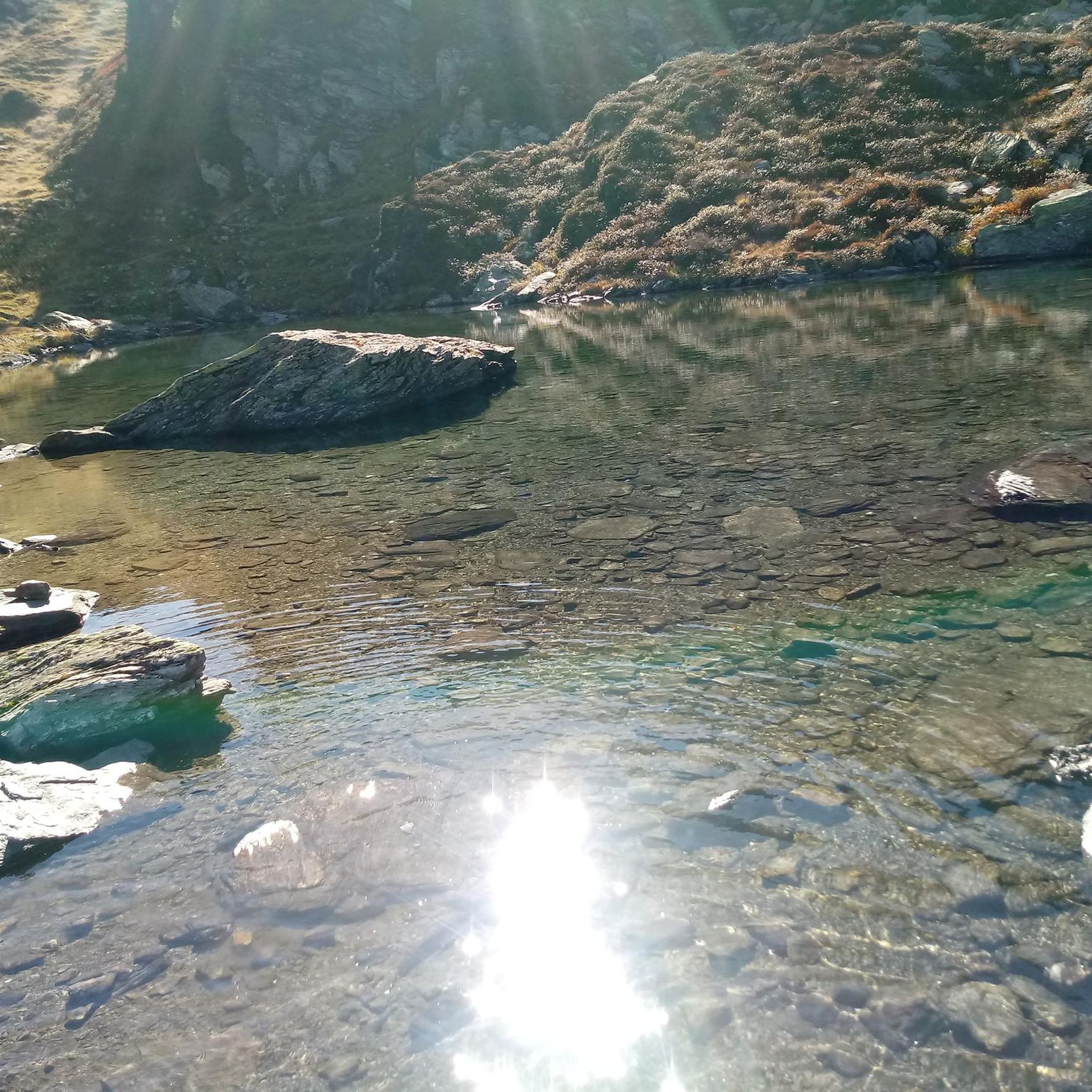
This seasonal swimming hole can get dry during hot months from May to October, and is best visited at its most full after rain. There is a side trail that leads to a rocky beach where the best entry for the swimming hole is.
0
0

Along the northern end of the Lerderderg Heritage River Walk, you have access to the river and a really nice, close up view. Along this section there is an information sign with a small portion of wall from the old Crown Dam that used to be here.
1
0

The Lerderderg Gorge Track follows the river through one of the most rugged sections of the state park, weaving between steep ridgelines, rocky escarpments, and dense bushland deep inside the gorge. Around the Mackenzies Flat to Grahams Dam section, the track is easy to follow, with stepping stone river crossings, shaded forest, and regular access down to the riverbed and waterholes. Further into the gorge, the terrain becomes much steeper and more challenging, especially after rain.
0
0
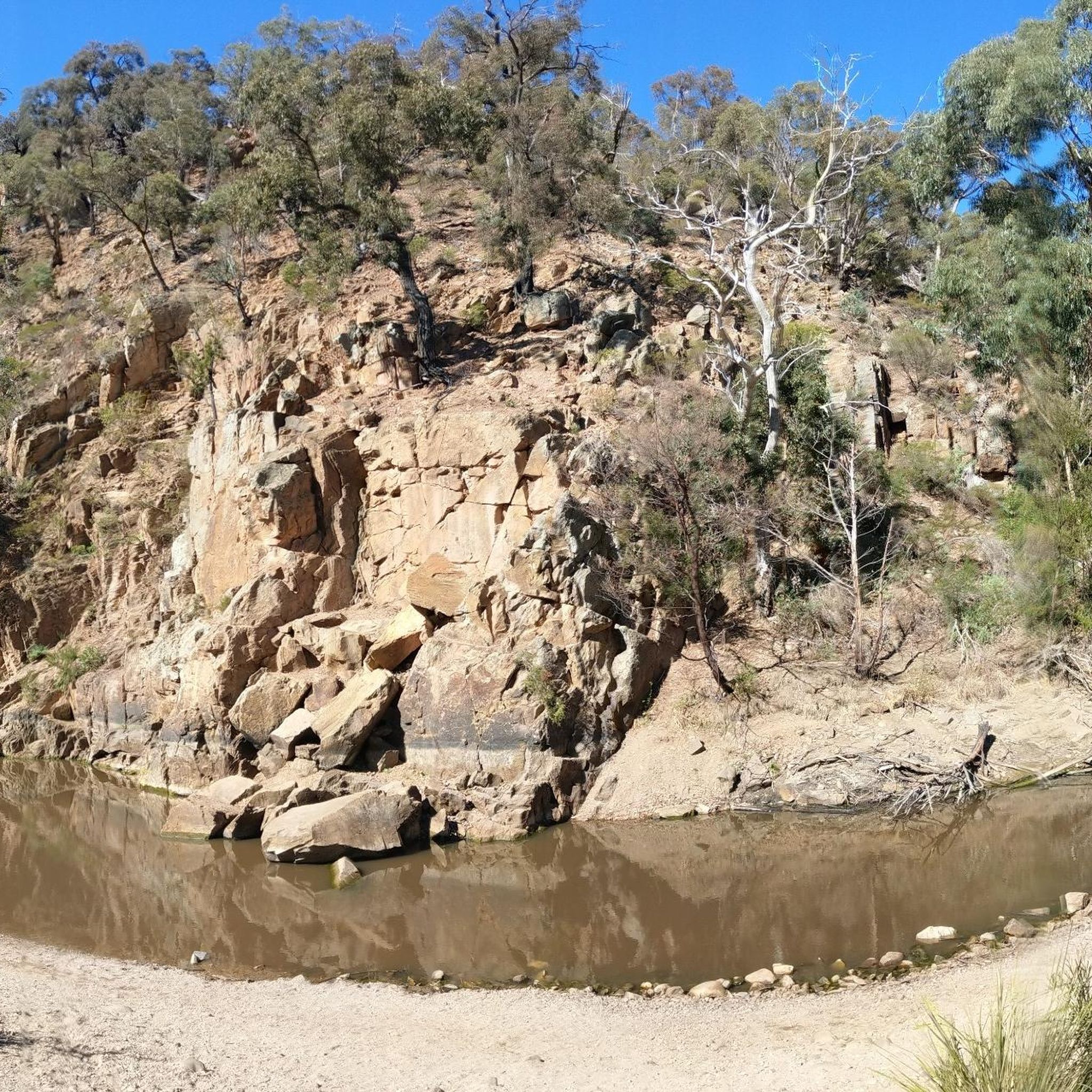
The Lerderderg River winds through the centre of the gorge, cutting between steep rocky ridgelines and dense bushland as it flows through the state park. Along this section, the river alternates between shallow rocky crossings, calm pools, and faster flowing sections after rain, adding to the rugged feel of the walk. Water levels can rise quickly in wet weather, and some crossings may become difficult or unsafe after heavy rainfall.
0
0
Long Point Track climbs steeply out of the gorge from the river toward the higher ridgelines above. The track is known for its rocky footing and sustained elevation gain, with loose shale and uneven surfaces slowing the pace in sections. Compared to the flatter riverside walking near Mackenzies Flat, this part of the route feels much rougher and more exposed.
0
0
Frequently Asked Questions
What kind of terrain can I expect when hiking in Lerderderg River Heritage River?
The terrain in Lerderderg River Heritage River is quite varied, featuring the dramatic Lerderderg River Gorge, dry sclerophyll forests, rocky slopes, and fern-filled gullies with towering eucalypts. You'll find paths ranging from relatively flat sections along old water races to steep, rocky climbs with loose surfaces and exposed roots, especially on more challenging routes.
Are there any easy, family-friendly walks in the area?
Yes, there are several options suitable for families. A popular easy stroll is the walk along the river from Mackenzies Flat to Grahams Dam, which offers shallow pools and stepping-stone crossings, perfect for paddling and picnicking. For a slightly longer but still moderate option, consider the The Garden of St Erth – Lerderderg River Creek loop from Blackwood, which is about 9 km and takes around 2 hours 24 minutes.
What historical sites or landmarks can I see while hiking?
The region is rich with relics from its gold mining past. Hikers can discover old water races, the remains of the Crown Dam, and the Lerderderg River diversion tunnel, known as "The Tunnel," where the river was rerouted. There's also an open mine shaft with a viewing platform. The Garden of St Erth, a historic sandstone cottage, also serves as a starting point for some walks and includes a café and nursery.
Are there any circular hiking routes available?
Yes, many trails in Lerderderg River Heritage River are designed as loops. For example, the Lerderderg Gorge Circuit is a moderate 8 km loop. Another option is the Grahams Dam – View of Lerderderg State Park loop from Lerderderg Gorge Circuit, a moderate 7.9 km path offering views of Lerderderg State Park.
What is the best time of year to go hiking in Lerderderg River Heritage River?
Late winter and early spring are particularly beautiful times to visit, as the area bursts with spectacular displays of wildflowers. The river itself provides opportunities for swimming in certain areas, especially around Grahams Dam, making warmer months pleasant for combining hiking with a dip.
Can I bring my dog on the hiking trails?
The Lerderderg State Park, which encompasses much of the Lerderderg River Heritage River, has specific regulations regarding dogs. Generally, dogs are not permitted in most areas of the State Park to protect wildlife. However, some sections of the Wombat State Forest, which also borders the river, may allow dogs on leash. It's always best to check the latest regulations on the Parks Victoria website before your visit.
What wildlife might I encounter on the trails?
While hiking, you have the chance to spot diverse wildlife, including kangaroos, wallabies, koalas, and echidnas. The area is also home to a rich array of birdlife, such as sulphur-crested cockatoos, wedge-tailed eagles, white-naped honeyeaters, and the superb lyrebird.
Are there any challenging hikes for experienced trekkers?
Yes, for those seeking a challenge, there are more difficult routes. The Grahams Dam – View of Lerderderg State Park loop from Lerderderg State Park is a difficult 16.1 km path that involves significant elevation gain and takes around 5 hours 18 minutes to complete. The East Walk and Cowan Track Loop Walk, mentioned in regional research, is also a challenging Grade 4 circuit with steep climbs and spectacular views.
What do other hikers say about the trails in Lerderderg River Heritage River?
The trails in Lerderderg River Heritage River are highly rated by the komoot community, with an average score of 4.5 stars from over 80 reviews. Hikers often praise the dramatic gorge scenery, the historical gold mining relics, and the diverse forest environments.
Are there opportunities for swimming in the Lerderderg River?
Yes, the Lerderderg River offers opportunities for swimming in certain areas, particularly around Grahams Dam, where you'll find shallow pools and stepping-stone crossings. It's a popular spot for cooling off during warmer weather.
Where can I find parking for the hiking trails?
Common starting points for hikes often have designated parking areas. Mackenzies Flat Picnic Area and O'Briens Crossing are known picnic areas with facilities that typically include parking. For specific trailheads, it's advisable to check the route details on komoot or the Parks Victoria website.
How many hiking trails are there in Lerderderg River Heritage River?
There are 18 hiking trails recorded in Lerderderg River Heritage River, offering a range of experiences from easy strolls to more challenging treks. This includes 4 easy, 11 moderate, and 3 difficult routes.
Most popular routes in Lerderderg River Heritage River
Most popular attractions in Lerderderg River Heritage River

Get inspired with the komoot mobile app


Explore more
Browse the best Hikes in other regions.
