The best running trails in Innes Ruins Historic Site
4.0
(7)
702
runners
29
runs
Jogging routes in Innes Ruins Historic Site traverse a landscape characterized by a mix of urban-adjacent paths and coastal natural areas. The region features gentle elevation changes, with routes winding near main roads and extending towards scenic coastal points. Runners can expect varied terrain that includes established paths and sections offering views of the surrounding natural environment.
Best jogging routes in Innes Ruins Historic Site
- The most popular jogging route is Running loop from Rowthorne Way before Crestwood Dr,…
Last updated: May 23, 2026
5
runners
10.5km
01:13
70m
70m
Moderate run. Good fitness required. Mostly paved surfaces. Suitable for all skill levels.
4
runners
21.2km
02:16
170m
170m
Hard run. Very good fitness required. Mostly paved surfaces. Suitable for all skill levels.

Sign up for free
3
runners
7.76km
00:54
60m
60m
Moderate run. Good fitness required. Mostly paved surfaces. Suitable for all skill levels.
4.0
(1)
104
runners
Moderate run. Good fitness required. Mostly paved surfaces. Suitable for all skill levels.
14
runners
Moderate run. Good fitness required. Mostly paved surfaces. Suitable for all skill levels.
Get access to more routes and recommendations from other explorers.
Sign up for free
Already have an account?
Our route recommendations are based on thousands of hikes, rides, and runs completed by other people on komoot.
Start today with a free account
Your next adventure awaits.
Login or Signup
Popular around Innes Ruins Historic Site
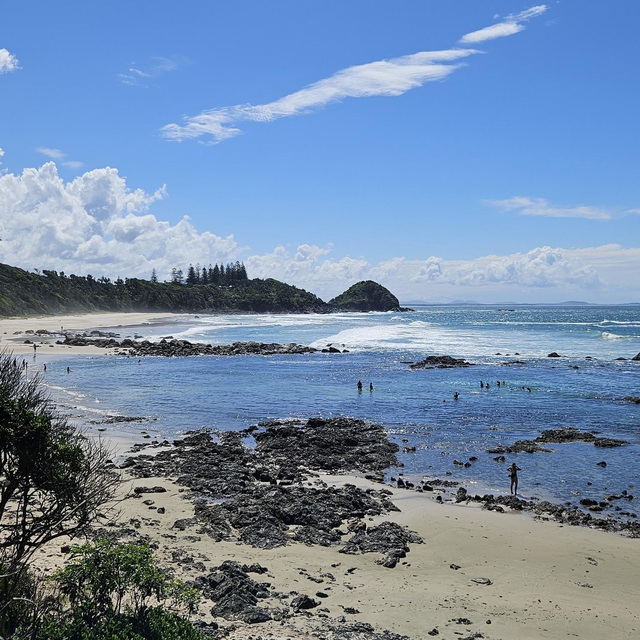

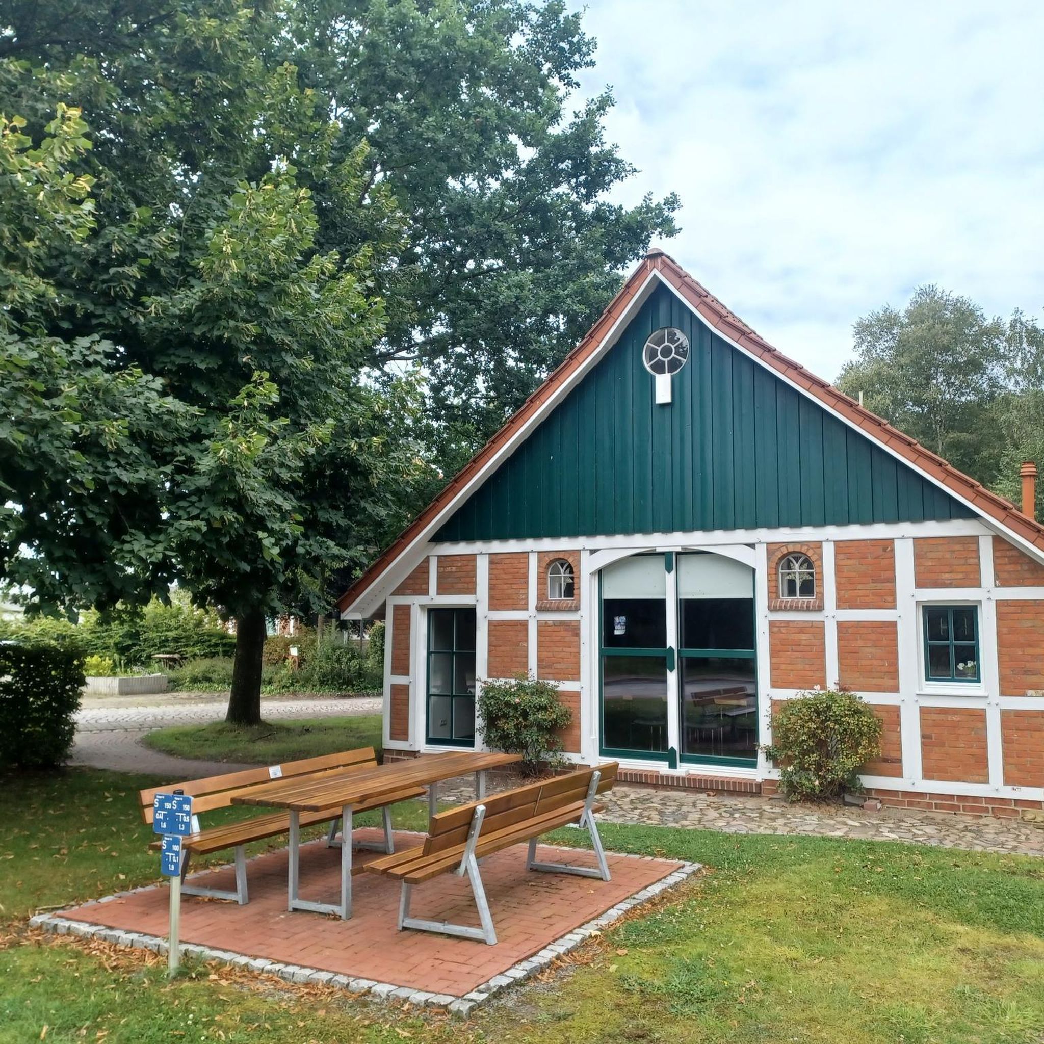
Tips from the Community

Port Macquarie breakwall lines the entrance to the Hastings River, originally constructed to improve navigation across the once-dangerous river bar. Built in stages from the late 1890s, with the southern wall completed in 1904 and the northern wall following in 1932, it was a major engineering effort designed to direct river flow and create a safer, deeper channel. Today, it is an iconic coastal walkway, known for its painted rocks, beautiful views, and strong connection to the town’s maritime history and community. It’s a long-standing local tradition here for visitors to paint messages and memorials on the rocks, creating a colourful and ever-changing feature along the wall.
0
0
Kooloonbung Creek flows through a 52-hectare nature reserve in central Port Macquarie, preserving wetlands, bushland, and diverse wildlife habitats. There are boardwalks and walking tracks that wind through mangroves and forest, connecting the reserve to the town centre and foreshore. This area also includes picnic areas and a historic cemetery, blending natural and cultural heritage in a peaceful urban setting.
0
0
Westport Park is one of Port Macquarie’s largest waterfront reserves, with plenty of open green space with direct access to the Hastings River and expansive views across the waterways. The park includes picnic areas, playgrounds, boat ramps, a bubbler, toilets and several benches throughout the grounds and regularly hosts major community events, markets, and festivals. It also runs along part of the foreshore walking network, connecting the town centre with riverside paths and recreational areas.
0
0

Frequently Asked Questions
How many running routes are available in Innes Ruins Historic Site?
There are over 25 dedicated running routes in Innes Ruins Historic Site, offering a diverse range of experiences. You'll find options from easy jogs to more challenging long-distance runs, catering to various fitness levels.
Are there easy jogging routes suitable for beginners in Innes Ruins Historic Site?
Yes, Innes Ruins Historic Site offers several easy jogging routes perfect for beginners or those looking for a relaxed run. There are 4 routes specifically rated as easy, featuring gentle terrain and shorter distances.
What are some challenging running trails in Innes Ruins Historic Site?
For experienced runners seeking a challenge, Innes Ruins Historic Site features a few difficult routes with more significant elevation gains. One such option is the Running loop from Major Innes Rd opp Saint Columba Anglican School, which spans over 13 miles (21 km) and includes notable ascents.
Are there any circular jogging routes in the Innes Ruins Historic Site area?
Many of the running routes in Innes Ruins Historic Site are designed as loops, providing convenient circular paths. For example, the Running loop from Rowthorne Way before Crestwood Dr is a popular moderate loop covering about 6.5 miles (10.5 km).
What kind of terrain can I expect on the running trails here?
The running trails in Innes Ruins Historic Site feature varied terrain, from established paths in urban-adjacent areas to sections with coastal views. You'll encounter a mix of suburban landscapes, urban parkland, and gentle hills, with most routes having moderate elevation changes.
What do other runners enjoy most about jogging in Innes Ruins Historic Site?
The area is highly rated by the komoot community, with an average score of 4.0 stars from 6 reviews. Runners often praise the variety of routes that blend urban convenience with scenic coastal sections, offering options for different ability levels.
Are there any running routes that offer coastal views?
Yes, Innes Ruins Historic Site's location near the coast means several routes extend towards scenic coastal points. While specific viewpoints aren't listed, you can expect sections of trails to offer glimpses of the surrounding natural environment and coastline.
Are the running routes in Innes Ruins Historic Site suitable for families?
Given the mix of easy and moderate routes, many trails in Innes Ruins Historic Site can be suitable for families, especially those with older children or who are accustomed to running. Look for the shorter, easier loops for a more family-friendly experience.
Is there public transport access to the jogging trails in Innes Ruins Historic Site?
Many routes in Innes Ruins Historic Site are situated near main roads and developed areas, suggesting accessibility by local public transport. It's advisable to check local bus schedules for stops closest to your chosen starting point.
Are there any less crowded running routes in Innes Ruins Historic Site?
While some routes are popular, with over 25 options available, you can often find less crowded trails, especially during off-peak hours. Exploring some of the lesser-known moderate routes might offer a more tranquil running experience.
What is a good moderate-difficulty running route in the area?
A great moderate-difficulty option is the Gaol Point Lookout loop from Port Macquarie. This route covers about 7 miles (11.3 km) and offers a balanced workout with manageable elevation changes.
Can I find cafes or refreshments near the jogging routes?
As the routes traverse urban-adjacent and developed areas, you are likely to find cafes and refreshment options in nearby suburban centers or along main roads, particularly in Port Macquarie. It's a good idea to plan your route to pass through or near these amenities.
What is the typical duration for a running route in Innes Ruins Historic Site?
Running durations vary significantly depending on the route's length and difficulty. For instance, a moderate route like the Running loop from Major Innes Rd after The Ruins Way typically takes about 54 minutes to complete, while longer, difficult trails can take several hours.
Most popular routes in Innes Ruins Historic Site

Get inspired with the komoot mobile app


Explore more
Browse the best Running Trails & Routes in other regions.
