The best walks and hikes in Dargans Creek Reserve
4.6
(11)
190
hikers
3
hikes
Hiking trails in Dargans Creek Reserve offer diverse natural features and a high ecological value, situated near the Blue Mountains World Heritage Area. The terrain includes historic dams, the Dargans Creek Canyon, and the dramatic Dargans Arch, formed by wind erosion. The reserve features extensive native vegetation, including endangered upland swamps, providing habitat for various wildlife. These physical characteristics make it a varied destination for outdoor activities.
Best hiking trails in Dargans Creek Reserve
- The most popular hiking route is…
Last updated: May 23, 2026
4
hikers
5.45km
01:32
110m
110m
Easy hike. Great for any fitness level. Easily-accessible paths. Suitable for all skill levels.
19
hikers
4.67km
01:30
150m
150m
Hard hike. Great for any fitness level. Sure-footedness, sturdy shoes and alpine experience required.

Sign up for free
4.8
(6)
117
hikers
4.15km
02:03
310m
310m
Moderate hike. Good fitness required. Mostly accessible paths. Sure-footedness required.
4.8
(5)
118
hikers
4.30km
02:05
310m
310m
Moderate hike. Good fitness required. Mostly accessible paths. Sure-footedness required.
4.3
(6)
42
hikers
Easy hike. Great for any fitness level. Easily-accessible paths. Suitable for all skill levels.
Our route recommendations are based on thousands of hikes, rides, and runs completed by other people on komoot.
Start today with a free account
Your next adventure awaits.
Login or Signup
Popular around Dargans Creek Reserve
Tips from the Community

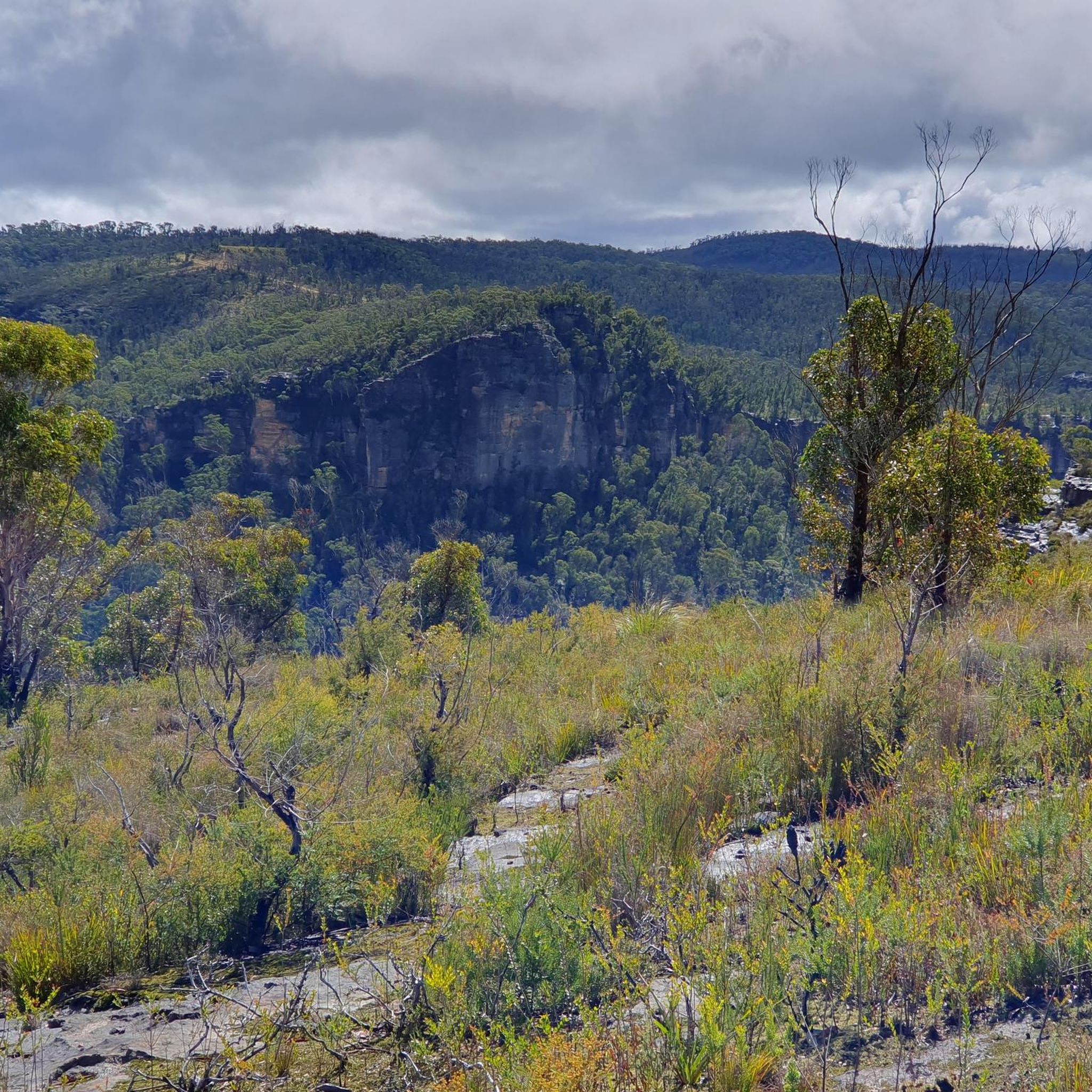
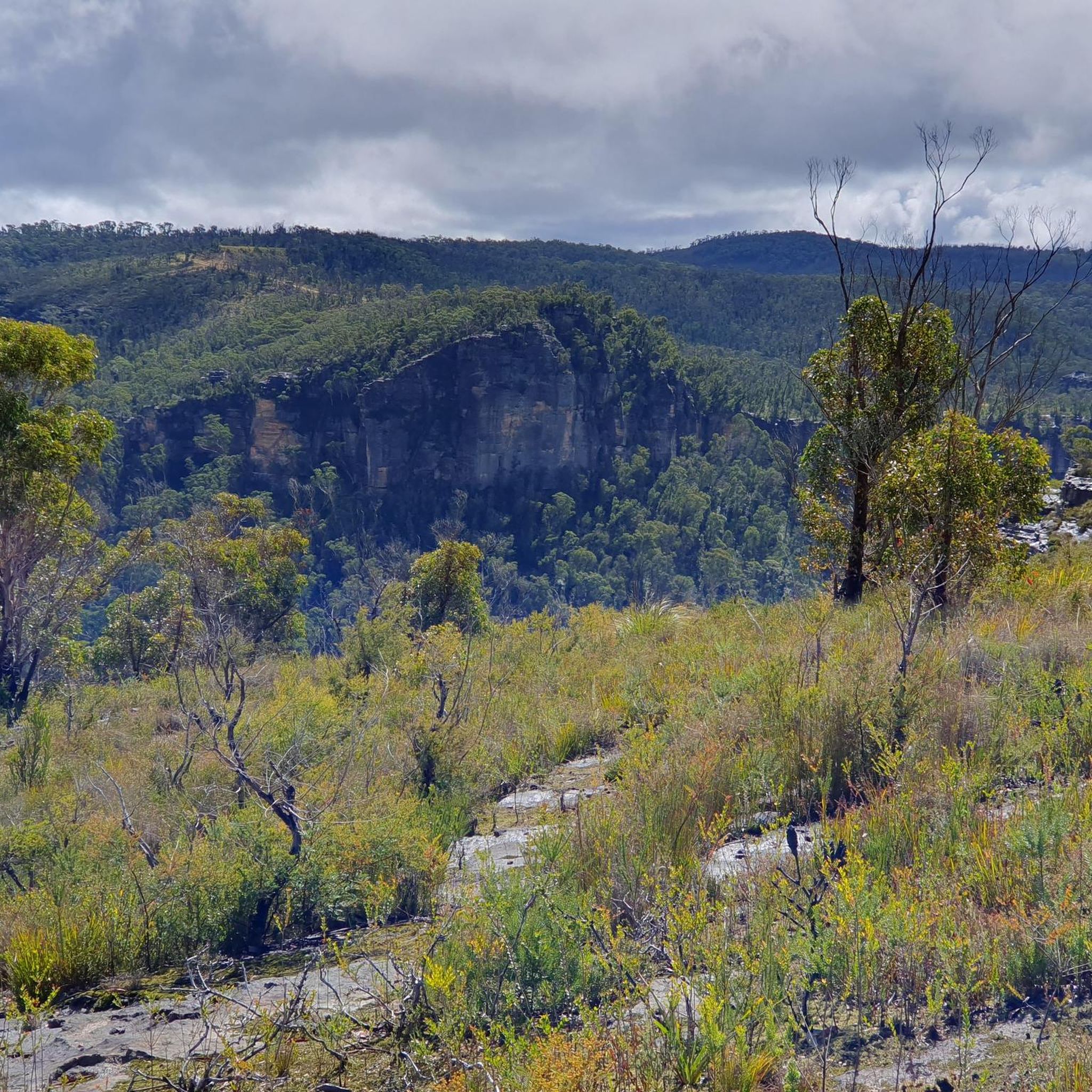
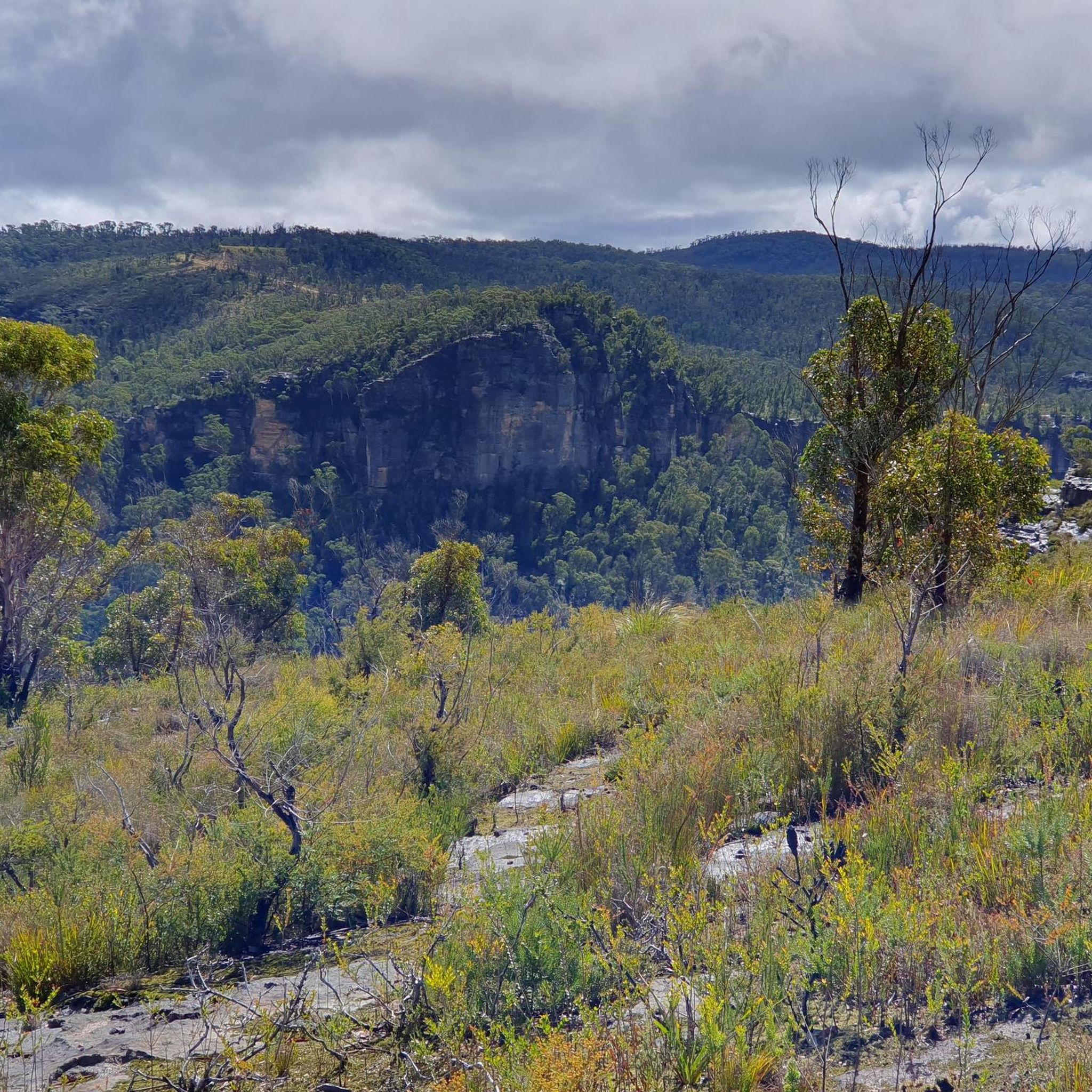
Located just above Victoria Falls, this overlook looks along the stream as it flows across a broad rock platform before dropping into the valley below. The water and rock create a natural corridor that draws your eye out toward the forested mountains in the distance. The edge above the falls can be slippery, especially after rain, so take extreme care and keep a safe distance from the drop.
0
0
Victoria Creek Waterfall is a smaller cascade section upstream from the main falls where the creek flows over a series of rock ledges into shallow pools. The cascades sit within a more enclosed part of the valley surrounded by dense bushland and sandstone walls. After rain, water flow becomes much stronger, with the cascades spreading across the rock shelves and filling the pools below.
0
0
This track drops down through forest toward Victoria Falls along Victoria Creek. The route includes a long series of steps and steep sections, with the path continuing downhill for most of the way to the falls. The return follows the same route, meaning a steady climb back up.
0
0

Billabong Canyon is a narrow sandstone canyon with tight passages, uniquely shaped rock walls, and the occasionally water-filled sections. There are also areas where it opens up to big skys above with ferns and small trees at its floor. Be sure to have offline navigation as some of the area can become off-track, and it helps to have basic canyoning skills, depending on the route you choose and how far you go.
0
0
Goochs Crater Viewpoint overlooks a deep, enclosed sandstone basin with a grassy bottom, surrounded by cliffs. This "crater" is not a volcanic crater or even an asteroid crater, but a naturally eroded plateau.
0
0
The cave entrance near Goochs Crater was eroded from soft sandstone and is quite accessible compared to deeper cave systems. There is a cool, shaded overhang at the camping area popular for pitching tents for overnight trips.
0
0
Inside Dalpura Canyon, the route becomes a full creek walk. Depending on recent rainfall, you may find yourself wading through knee- to waist-deep water as the sandstone walls close in around you. Progress involves stepping across rock shelves, navigating submerged boulders and moving carefully through deeper pools. The rock can be slippery, and water levels can change quickly after rain. Expect to get wet and move slowly, assessing each section before committing to the next step.
0
0
Jinki Ridge offers expansive views across the Grose Valley before the descent into Dalpura Canyon. The track follows open sandstone ridge lines with sections of heath and exposed rock underfoot. It’s a scenic but sometimes faint route, and navigation can require attention where the path blends into rock platforms. The ridge feels remote compared to busier Blue Mountains walks, with long sightlines and little shade. On clear days, it’s a rewarding stretch before dropping into the shaded canyon below.
0
0
Frequently Asked Questions
How many hiking trails are available in Dargans Creek Reserve?
Komoot features a collection of 5 hiking routes in and around Dargans Creek Reserve. These range from easy strolls to more challenging adventures, offering something for every hiker.
Are there any easy hiking trails suitable for beginners or families?
Yes, Dargans Creek Reserve offers several easy trails. For a gentle introduction, consider the Gooch's Crater Walking Track, which is just over 5 km. Another accessible option is the Lost City viewpoint – Snow Gum Flora Reserve loop, offering scenic views on a 5.6 km path.
What are some notable natural features or landmarks to see while hiking?
Dargans Creek Reserve is rich in natural and historical landmarks. You can explore the impressive Dargans Arch, a natural sandstone arch formed by wind erosion, surrounded by canyon-like landscapes and caves. The reserve also features two disused historic concrete dams, which are popular spots for swimming and offer a glimpse into the area's past. For a more adventurous experience, the Dargans Creek Canyon offers opportunities for scrambling and short swims through small waterfalls.
Are there any circular hiking routes in Dargans Creek Reserve?
Yes, several routes offer a circular experience, allowing you to start and finish at the same point. The Dalpura Canyon and Jinki Ridge circuit is a challenging loop that takes you through diverse terrain. For a moderate option, the Victoria Creek Waterfall loop from Grose Valley Lookout provides a scenic circular walk.
What is the best time of year to go hiking in Dargans Creek Reserve?
Dargans Creek Reserve can be enjoyed year-round, but spring and autumn generally offer the most pleasant hiking conditions with mild temperatures and vibrant scenery. Summer can be hot, making early morning or late afternoon hikes preferable. Winter offers crisp air and unique views, though some trails might be muddier after rain.
What kind of wildlife can I expect to see in Dargans Creek Reserve?
The reserve is a haven for biodiversity, home to rare and endangered animals such as koalas, the Blue Mountains Water Skink, Eastern Pygmy Possum, and Giant Dragonfly. Birdwatchers can spot species like the Osprey, Fork-tailed Swift, and White-throated Needletail. Keep an eye out for the highly endangered Barradam-bang wattle (Acacia meiantha) among the diverse plant life.
Are there any challenging hikes for experienced trekkers?
Absolutely. For those seeking a more demanding adventure, the Dalpura Canyon and Jinki Ridge circuit is rated as difficult, involving varied terrain and requiring good fitness. Another challenging option is the longer Pulpit Rock – Hornes Point loop from Mount Victoria, which covers over 11 km with significant elevation changes.
What do other hikers enjoy most about Dargans Creek Reserve?
The komoot community highly rates Dargans Creek Reserve, with an average score of 4.8 stars. Reviewers often praise the reserve's diverse natural features, from historic dams and unique rock formations like Dargans Arch to the rich biodiversity and the sense of adventure offered by its canyons and varied trails.
Is Dargans Creek Reserve suitable for rock climbing or canyoning?
Beyond hiking, Dargans Creek Reserve is indeed a popular spot for rock climbing, with specific areas like "Cosmic County," the "Dam Cliffs," and "Freezer" attracting climbers. The historic dams also serve as access points for canyoning, and Dargans Creek Canyon itself offers opportunities for scrambling and short swims, making it a great spot for those seeking a multi-sport adventure.
Where can I find more information about upgrades or facilities in the reserve?
For information regarding any recent upgrades or facilities within Dargans Creek Reserve, you can refer to official government sources. For example, the NSW Government often provides updates on such projects. You can check their news section for relevant announcements, such as those found on crownland.nsw.gov.au.
Most popular routes in Dargans Creek Reserve

Get inspired with the komoot mobile app


Explore more
Browse the best Hikes in other regions.
