The best walks and hikes in Tuggerah State Conservation Area
4.9
(7)
121
hikers
9
hikes
Hiking in Tuggerah State Conservation Area offers diverse landscapes across its 478.0 acres, characterized by lush forests, serene bushland, and tranquil waterways. The area features areas of littoral rainforest with large cabbage palms and Sydney Redgums. Hikers can experience varied terrain, from sandy tracks to sections with timber boarding, providing access to picturesque views across Tuggerah Lake.
Best hiking trails in Tuggerah State Conservation Area
- The most popular hiking route is Crackneck Lookout loop from Bateau Bay, a 3.2 miles (5.1 km) trail that takes about 1 hour 25 minutes to complete, offering coastal views and bushland.
- Another top favourite among local hikers is Wyrrabalong Lookout – Crackneck Lookout loop from Long Jetty, a moderate 7.6 miles (12.2 km) path. This route traverses diverse forest scenery with views across Tuggerah Lake.
- Local hikers also love the Tim Farrell Lookout loop from The Entrance, a 4.9 miles (7.9 km) trail leading through varied bushland to a prominent lookout, often completed in about 2 hours 5 minutes.
- Hiking in Tuggerah State Conservation Area is defined by lush forests, tranquil waterways, and lake views. The network offers options for different ability levels, from easy strolls to more challenging hikes.
- The routes in Tuggerah State Conservation Area are highly rated by the komoot community with an average score of 5.0 stars from over 7 reviews. More than 130 hikers have used komoot to explore Tuggerah State Conservation Area's varied terrain.
Last updated: November 3, 2026
8
hikers
6.38km
01:38
20m
20m
Easy hike. Easily walkable paths.
8
hikers
9.50km
02:24
20m
20m
Moderate hike. Good fitness required. Easily walkable paths.

8
hikers
2.95km
00:45
10m
10m
Easy hike. Easily walkable paths.
5.0
(3)
15
hikers
12.2km
03:19
180m
180m
Moderate hike. Good fitness required. Easily walkable paths.
10
hikers
7.90km
02:02
30m
30m
Moderate hike. Good fitness required. Easily walkable paths.
Get access to more routes and recommendations from other explorers.
Already have an account?
Our route recommendations are based on thousands of hikes, rides, and runs completed by other people on komoot.
Start today with a free account
Your next adventure awaits.
Popular around Tuggerah State Conservation Area
Tips from the Community

Stretching 351 metres into Tuggerah Lake, the Long Jetty is the longest in NSW and is a historic spot that also gave this lakeside suburb its name. William Henry Price built the original jetty from paperbark tree trunks in 1915, and after the 1927 floods washed it away, the council rebuilt it the same year, adding a shelter for ferry passengers travelling across the lake to Wyong. You can stroll to the end for wide views over the water, especially beautiful in the evenings, and it’s a popular spot for photographers who come to capture the light around sunset.
0
0
Terilbah Reserve sits along Tuggerah Lake, with open grassy areas, benches, a playground, and a fishing platform. It's also home to the Sensory Gardens, planted with native species you can not only see, but touch and smell, so blind and low-vision visitors can enjoy the textures and scents of the Australian bush too. Wheelchair-friendly paths and small bridges wind past seats and weather shelters, making it an easy place to stop and enjoy during a walk or ride along the lake.
0
0
The Entrance Bridge crosses the channel where Tuggerah Lake meets the ocean, connecting The Entrance with The Entrance North. Built in the late 1960s, this concrete bridge replaced a narrow, one-lane timber bridge that was constructed in 1934. It has a separate footpath and cycleway, so you can cross away from the traffic while you enjoy watching the water move through the channel below you.
0
0

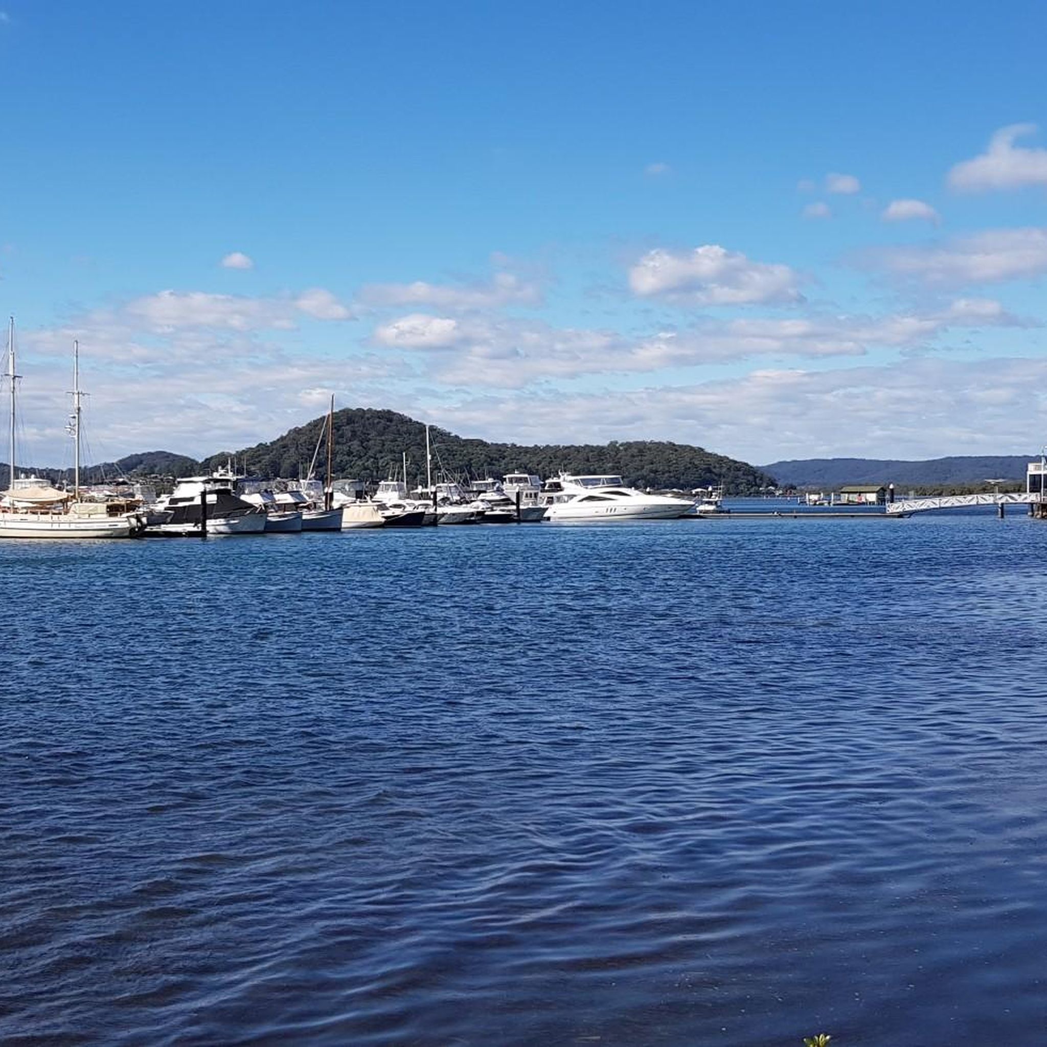
Tuggerah Lake stays beside you for much of this route, with long views across the water and plenty of birdlife around the shallows and foreshore. It’s part of the wider Tuggerah Lakes estuary system, which also includes Budgewoi Lake and Lake Munmorah. Along the Tuggerawong side, the lake feels especially open, and there are several spots where you can stop right by the water before continuing along the pathway.
0
0
Tuggerawong Pathway follows the western shore of Tuggerah Lake, with long stretches right beside the water and plenty of open views across the lake. The sealed shared path is easy to follow and passes parks, foreshore reserves and residential sections along the way. It’s a good one for a relaxed ride or walk, with very little elevation to worry about and several places where you can stop by the water.
0
0
Rocky Point sits on the western shore of Tuggerah Lake and marks the northern end of this section of the shared path from Tuggerawong. It’s a quiet residential spot, but the foreshore gives you open views across the lake and a good place to pause before turning back. The surrounding shoreline includes saltmarsh habitat, so keep an eye out for waterbirds around the shallows and reeds.
0
0

Crackneck Lookout is on the edges of a paved car park, with multiple benches, rubbish bins and picnic benches. When the weather allows, there are often paragliders taking off and landing on this large grassy stretch.
0
0
Wyrrabalong Lookout sits just below Cromarty Hill, with similar views over the ocean just a bit lower and with picnic benches. It's a great place to enjoy a sunset or sunrise while having a seat at a table.
0
0
Frequently Asked Questions
How many hiking trails are available in Tuggerah State Conservation Area?
Tuggerah State Conservation Area offers a network of 9 hiking trails, catering to various skill levels. You'll find 5 easy routes and 4 moderate routes, ensuring options for everyone from casual walkers to more experienced hikers.
What kind of landscapes and natural features can I expect to see while hiking?
The area boasts diverse natural beauty, including lush forests, serene bushland, and areas of littoral rainforest with large cabbage palms. You'll also encounter beautiful Sydney Redgums, some of which are twisted and lean over the tracks. Many trails offer tranquil waterways and picturesque views across Tuggerah Lake, with prominent lookouts like Crackneck Lookout and Wyrrabalong Lookout providing expansive vistas.
Are there any trails suitable for families with children?
Yes, Tuggerah State Conservation Area has several easy trails perfect for families. For instance, the Crackneck Lookout loop from Bateau Bay is an easy 3.2-mile (5.1 km) trail that takes about 1 hour 25 minutes to complete, offering coastal views and bushland suitable for a family outing.
Can I bring my dog on the hiking trails in Tuggerah State Conservation Area?
Generally, dogs are not permitted in NSW national parks and reserves, including State Conservation Areas, to protect wildlife and ensure visitor safety. It's always best to check the official NSW National Parks and Wildlife Service website for the most current regulations regarding pets in specific areas.
What is the best time of year to go hiking in Tuggerah State Conservation Area?
The Tuggerah State Conservation Area benefits from a pleasant climate with mild temperatures and abundant sunshine, making it ideal for year-round exploration. Spring and autumn often offer the most comfortable hiking conditions with moderate temperatures and vibrant natural scenery.
Are there any circular hiking routes available?
Yes, many of the trails in Tuggerah State Conservation Area are circular, allowing you to experience varied scenery without retracing your steps. Examples include the Wyrrabalong Lookout – Crackneck Lookout loop from Long Jetty and the Tim Farrell Lookout loop from The Entrance.
What are the typical trail lengths and durations?
Trail lengths vary, from shorter easy walks to longer moderate hikes. For example, the Crackneck Lookout – Wyrrabalong Lookout loop from Bateau Bay is an easy 3.8-mile (6.1 km) route, while the Tim Farrell Lookout – Sutton Reserve loop from Bateau Bay is a moderate 10.1-mile (16.2 km) trail, typically taking around 4 hours 12 minutes to complete.
Is parking available at the trailheads?
Yes, parking is generally available at popular trailheads and lookouts within or near the Tuggerah State Conservation Area. Specific parking details can often be found on individual route pages or local park information.
Do I need a permit to hike in Tuggerah State Conservation Area?
No, permits are generally not required for day hiking in Tuggerah State Conservation Area. However, it's always a good idea to check the official NSW National Parks and Wildlife Service website for any updates or specific regulations that might apply.
What do other hikers enjoy the most about hiking in Tuggerah State Conservation Area?
The area is highly rated by the komoot community, with an average score of 5.0 stars from over 7 reviews. Reviewers often praise the diverse landscapes, from lush forests to tranquil lake views, and the well-maintained trails that cater to all experience levels. The unique atmosphere created by the Sydney Redgums and the stunning lookouts are frequently highlighted.
Are there any specific plants or wildlife I might encounter?
Hikers can encounter unique flora such as the palm-like Burrawang (a species of cycad) along trails like the Lillypilly Loop. The diverse forests and bushland also provide habitats for various bird species, making it a great spot for birdwatching and nature photography.
Are there any amenities like cafes or restrooms near the trails?
While the conservation area itself focuses on natural preservation, amenities like cafes and restrooms can typically be found in the nearby towns and suburbs such as Bateau Bay, Long Jetty, and The Entrance, which serve as common starting points for many trails.
Most popular routes in Tuggerah State Conservation Area

Get inspired with the komoot mobile app


Explore more
Browse the best Hikes in other regions.
