The best walks and hikes in Namadgi National Park
4.7
(36)
943
hikers
13
hikes
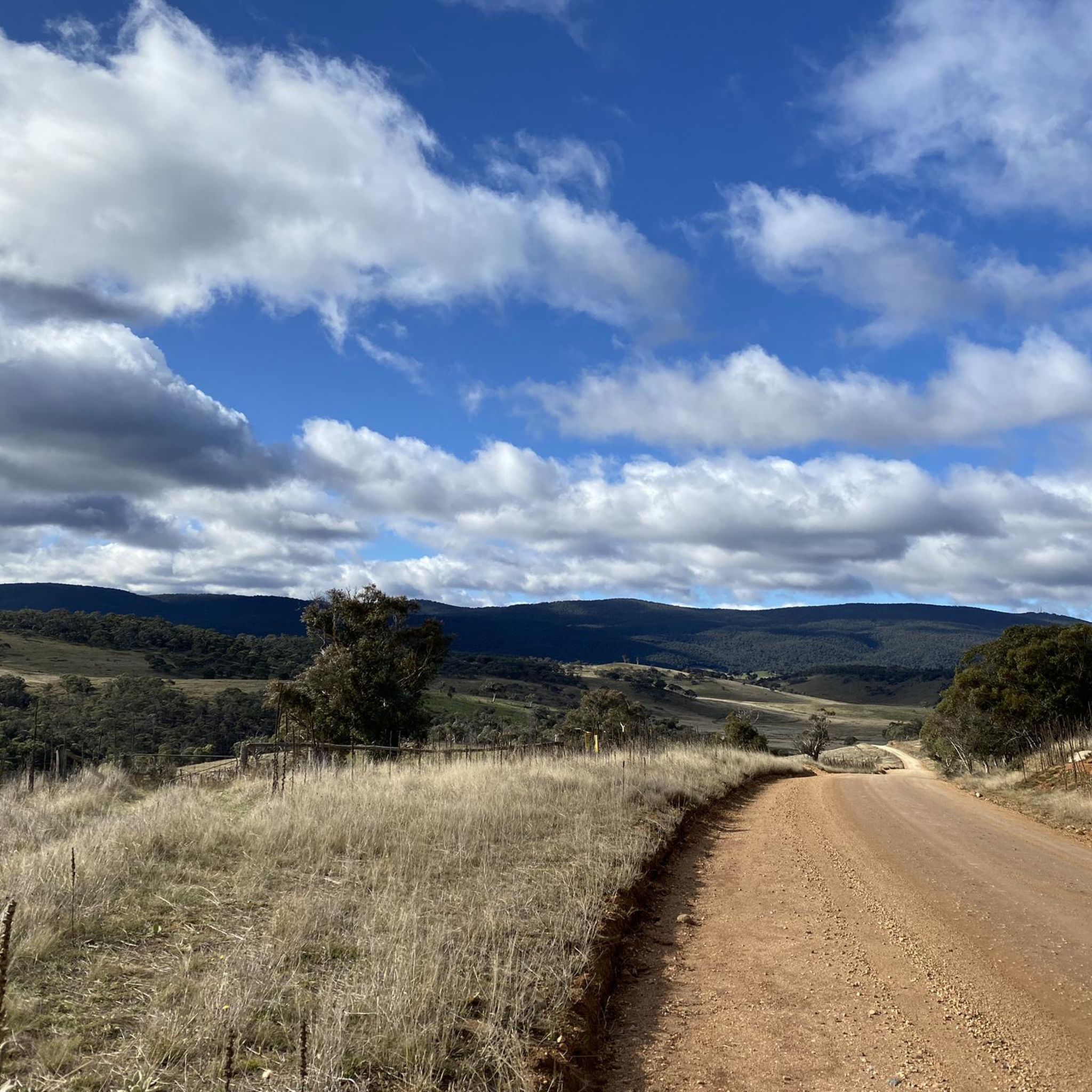
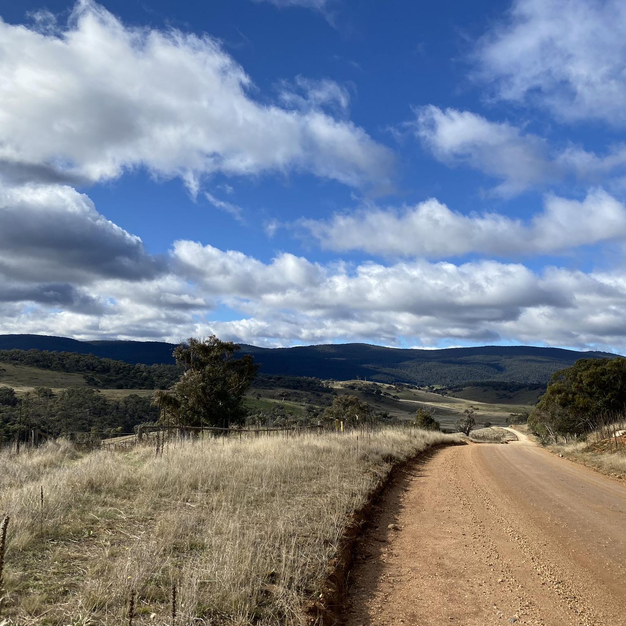
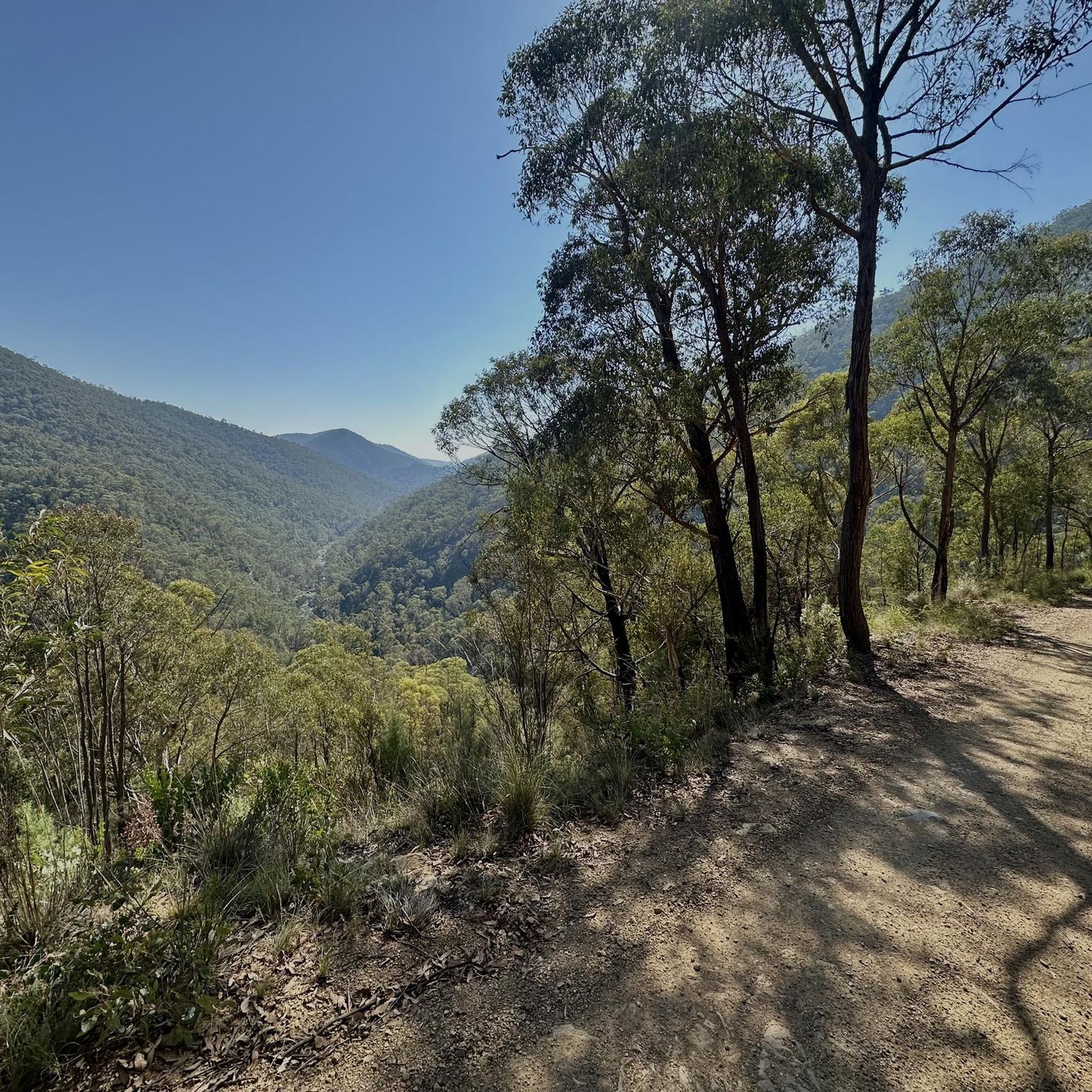
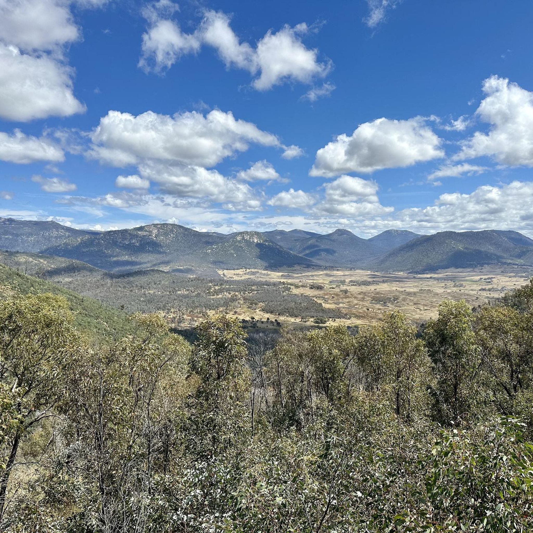
Hiking in Namadgi National Park offers diverse landscapes across its 106,095 hectares, forming the northern tip of the Australian Alps. The park features a mix of alpine, sub-alpine, and mountain bushland, characterized by steep slopes, open plateaus, and dramatic meadows. Hikers can explore grassy plains, snow gum woodlands, and granite formations like Booroomba Rocks and Square Rock. The terrain includes both gentle valleys and challenging ascents, providing varied experiences for outdoor enthusiasts.
Best hiking trails in Namadgi National Park
- The most popular hiking route is Pryors Hut loop from District of Cotter River, a difficult 9.1 miles (14.7 km) trail that takes 5 hours 20 minutes to complete. This route features significant elevation gain, offering panoramic views of the surrounding ranges.
- Another top favourite among local hikers is Hiking loop from Pheasant Hill, a moderate 5.9 miles (9.5 km) path. This trail winds through varied bushland, providing a less strenuous option for exploring the park's natural beauty.
- Local hikers also love the Pryors Hut loop from Mount Ginini, a 9.1 miles (14.7 km) trail leading through sub-alpine forests and open areas, often completed in about 4 hours 20 minutes.
- Hiking in Namadgi National Park is defined by its alpine and sub-alpine environments, extensive mountain bushland, and striking granite formations. The network offers options for different ability levels, from easy strolls to challenging multi-day treks.
- The routes in Namadgi National Park are highly rated by the komoot community with an average score of 4.7 stars from over 30 reviews. More than 800 hikers have used komoot to explore Namadgi National Park's varied terrain.
Last updated: May 23, 2026
5.0
(2)
42
hikers
15.5km
05:30
860m
860m
Hard hike. Very good fitness required. Mostly accessible paths. Sure-footedness required.
26
hikers
9.55km
02:35
130m
130m
Moderate hike. Good fitness required. Easily-accessible paths. Suitable for all skill levels.

Sign up for free
14
hikers
14.7km
04:20
410m
410m
Moderate hike. Good fitness required. Easily-accessible paths. Suitable for all skill levels.
10
hikers
2.73km
00:44
30m
30m
Easy hike. Great for any fitness level. Easily-accessible paths. Suitable for all skill levels.
10
hikers
3.77km
01:06
100m
100m
Easy hike. Great for any fitness level. Easily-accessible paths. Suitable for all skill levels.
Get access to more routes and recommendations from other explorers.
Sign up for free
Already have an account?
Our route recommendations are based on thousands of hikes, rides, and runs completed by other people on komoot.
Start today with a free account
Your next adventure awaits.
Login or Signup

Tips from the Community

Room for about 10 cars in the car park adjacent to the trailhead.
1
0
Frequently Asked Questions
What kind of terrain can I expect on hikes in Namadgi National Park?
Namadgi National Park offers a diverse range of terrain, from alpine and sub-alpine environments with steep slopes and open plateaus to mountain bushland, grassy plains, and snow gum woodlands. You'll also encounter striking granite formations like Booroomba Rocks and Square Rock, as well as sheltered fern gullies and unique wetlands.
Are there any easy hiking trails suitable for beginners or families?
Yes, Namadgi National Park has several easy trails. For instance, the Rendezvous Creek Trailhead loop from Gudgenby River is an easy 2.7 km walk. Another accessible option is the Bendora Hut loop from Bendoura Hill, which is 3.8 km long and also rated as easy. These trails are great for those looking for a less strenuous experience.
What natural attractions or scenic viewpoints can I discover while hiking?
The park is rich in natural beauty. You can find stunning granite formations at Booroomba Rocks and Square Rock, offering panoramic views of the Brindabella Range. For specific viewpoints, consider visiting Cypress Pine Lookout or reaching the Mount Tennent summit for expansive vistas. The park also features unique wetlands like Nursery Swamp and the Ginini Wetlands.
Are there any historical sites or cultural landmarks to see?
Namadgi National Park holds significant cultural and historical value. It is Ngunnawal Country, with important Aboriginal sites such as the Yankee Hat Rock Art. You can also explore remnants of European pastoral history, including historic huts and homesteads like Brayshaw's Hut and Brandy Flat Hut, which tell the story of early settlers and skiers.
What do other hikers enjoy the most about hiking in Namadgi National Park?
The area is highly rated by the komoot community, with an average score of 4.7 stars from over 30 reviews. Hikers frequently praise the diverse landscapes, from alpine forests to open plains, and the opportunity to experience the Australian Alps. Many appreciate the well-maintained trails and the chance to spot native wildlife.
Are there any circular hiking routes in Namadgi National Park?
Yes, several popular routes in Namadgi National Park are circular. Examples include the challenging Pryors Hut loop from District of Cotter River, which is 14.7 km, and the moderate Pryors Hut loop from Mount Ginini, also 14.7 km. For a shorter option, consider the Hiking loop from Pheasant Hill, a moderate 9.5 km trail.
What wildlife can I expect to see while hiking in Namadgi National Park?
Namadgi National Park is a haven for diverse wildlife. You're likely to encounter kangaroos and wallabies. The park is also home to 13 threatened species, including the smoky mouse, river blackfish, lyrebirds, and wedge-tail eagles. Keep an eye out for the critically endangered Northern Corroboree Frog in wetland areas.
Is there parking available at the trailheads in Namadgi National Park?
Parking is generally available at the main trailheads and visitor access points within Namadgi National Park. Specific parking details can often be found on individual route descriptions or by checking the park's official visitor information. It's always advisable to arrive early during peak seasons.
What is the best time of year to go hiking in Namadgi National Park?
The best time to hike in Namadgi National Park largely depends on your preferred experience. Spring (September-November) and Autumn (March-May) offer pleasant temperatures and vibrant scenery. Summer (December-February) can be hot, but higher elevation trails provide cooler conditions. Winter (June-August) brings snow to sub-alpine areas, offering opportunities for snow play and ski touring, though some trails may be inaccessible.
Are there any huts or camping areas available for overnight stays?
Yes, Namadgi National Park has historic huts and designated camping areas. Some huts, like Horse Gully Hut Camping Area, offer basic facilities for overnight stays. For more detailed information on specific huts and camping regulations, it's recommended to consult the park's official resources.
Are there any specific permits required for hiking in Namadgi National Park?
Generally, day hiking in Namadgi National Park does not require specific permits, but entry fees may apply. For overnight stays, remote area camping, or certain activities, permits might be necessary. It's always best to check the latest regulations on the official park website before your visit. You can find more general information about the park at Visit Canberra's Namadgi page.
Can I access Namadgi National Park using public transport?
Public transport options directly into Namadgi National Park are limited. The park is primarily accessed by private vehicle. Some tour operators may offer transport services, but for independent hiking, driving is generally the most practical way to reach trailheads and visitor centers.
Most popular routes in Namadgi National Park
Most popular attractions in Namadgi National Park

Get inspired with the komoot mobile app


Explore more
Browse the best Hikes in other regions.
