The best walks and hikes in Tuggeranong Hill Nature Reserve
4.3
(21)
627
hikers
21
hikes
Hiking in Tuggeranong Hill Nature Reserve features diverse landscapes, including significant areas of Yellow Box–Blakely's Red Gum Grassy Woodland and Drooping She-oak open forests. The reserve is characterized by hills, such as Tuggeranong Hill itself, which provide panoramic views of the Tuggeranong Valley and the Bullen Range. This protected area serves as a habitat for various woodland birds and vulnerable plant species.
Best hiking trails in Tuggeranong Hill Nature Reserve
- The most popular hiking route is Mount Rob Roy Summit loop from Banks, a 6.1 miles (9.7 km) trail that takes about 3 hours 10 minutes to complete. This moderate route leads to summit views of the surrounding ranges.
- Another top favourite among local hikers is Hiking loop from Banks, an easy 3.6 miles (5.8 km) path. This route offers a shorter exploration through the reserve's natural woodlands.
- Local hikers also love the Mount Wanniassa Summit Lookout loop from Chisholm, a 4.5 miles (7.3 km) trail leading through varied terrain, often completed in about 2 hours 5 minutes.
- Hiking in Tuggeranong Hill Nature Reserve is defined by woodlands, hills, and scenic viewpoints overlooking valleys. The network offers options for different ability levels, from easy loops to moderate summit climbs.
- The routes in Tuggeranong Hill Nature Reserve are highly rated by the komoot community with an average score of 4.4 stars from over 20 reviews. More than 600 hikers have used komoot to explore Tuggeranong Hill Nature Reserve's varied terrain.
Last updated: May 21, 2026
13
hikers
9.75km
03:10
440m
440m
Moderate hike. Good fitness required. Easily-accessible paths. Suitable for all skill levels.
10
hikers
5.77km
01:53
260m
260m
Easy hike. Great for any fitness level. Easily-accessible paths. Suitable for all skill levels.

Sign up for free
4.0
(1)
6
hikers
5.82km
01:31
40m
40m
Easy hike. Great for any fitness level. Easily-accessible paths. Suitable for all skill levels.
4
hikers
7.29km
02:05
170m
170m
Moderate hike. Good fitness required. Easily-accessible paths. Suitable for all skill levels.
5.0
(2)
79
hikers
7.25km
01:51
20m
20m
Easy hike. Great for any fitness level. Easily-accessible paths. Suitable for all skill levels.
Get access to more routes and recommendations from other explorers.
Sign up for free
Already have an account?
Our route recommendations are based on thousands of hikes, rides, and runs completed by other people on komoot.
Start today with a free account
Your next adventure awaits.
Login or Signup


Tips from the Community

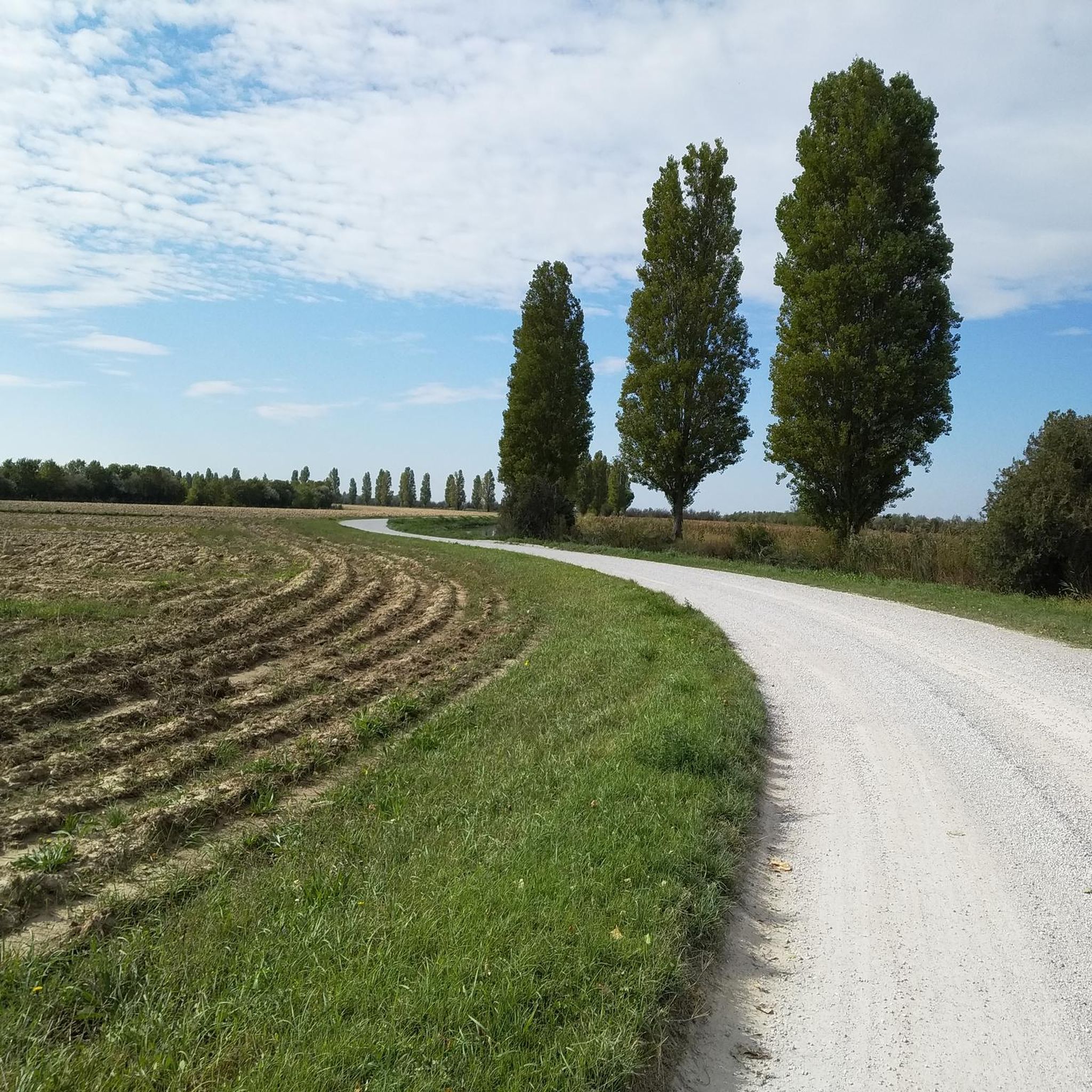
Ngadyung Beach is a small, sandy, quiet lakeside area nestled along Lake Tuggeranong. The beach sits along open grass and the shared path that forms part of the Lake Tuggeranong Circuit. It's a peaceful place to stop along the lake for views across the water and a short break during a walk or cycle.
0
0
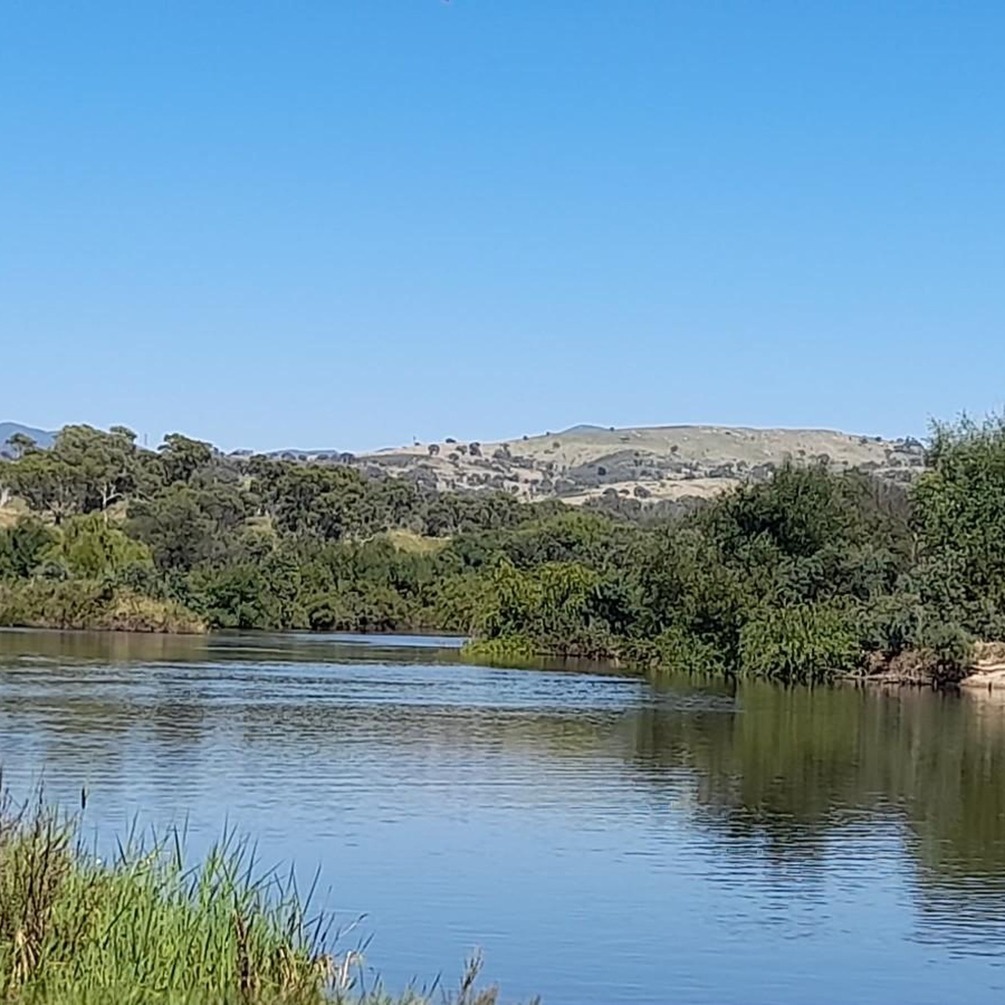
Lake Tuggeranong is a beautiful artificial lake in Canberra’s Tuggeranong district, created in the 1980s as part of the suburb’s town centre development. There is a shared walking and cycling path that circles the lake, passing parks, wetlands, and recreation areas along the shoreline. The lake is a popular local spot ideal for walking, cycling, kayaking, and birdwatching.
0
0
Tuggeranong Town Park Beach is a small sandy lakeside area within Tuggeranong Town Park on the northern shore of Lake Tuggeranong. The beach sits along open lawns and playgrounds, making it a popular place for families to relax by the water. Nearby facilities include picnic tables, barbecues, public toilets, playgrounds, and plenty of walking paths around the lake.
0
0

Frequently Asked Questions
How many hiking trails are available in Tuggeranong Hill Nature Reserve?
Tuggeranong Hill Nature Reserve offers a good selection of hiking opportunities, with over 20 routes to explore. These trails cater to various preferences, from gentle strolls to more challenging summit climbs.
What are the typical difficulty levels for hikes in Tuggeranong Hill Nature Reserve?
The reserve features a range of difficulty levels. You'll find plenty of easy trails, with 15 routes suitable for a relaxed walk. There are also 7 moderate routes for those seeking a bit more challenge, often involving steeper sections or longer distances.
Are there any easy, family-friendly walks suitable for beginners?
Yes, Tuggeranong Hill Nature Reserve has many easy routes perfect for families and beginners. For a gentle exploration through natural woodlands, consider the Hiking loop from Banks, which is about 3.6 miles (5.8 km) long.
Are dogs allowed on the trails in Tuggeranong Hill Nature Reserve?
Yes, dogs are permitted in Tuggeranong Hill Nature Reserve, provided they are kept on-leash on designated tracks or trails. This allows you to enjoy the diverse landscapes with your canine companion.
What kind of views can I expect from the hiking trails?
Many trails, especially those leading to higher points, offer spectacular panoramic views. From the summit of Tuggeranong Hill, you can enjoy vistas of the Tuggeranong Valley, the Bullen Range, Lanyon Valley, and Mount Tennent. The Mount Rob Roy Summit loop from Banks is a great option for summit views.
Are there any circular walking routes in the reserve?
Yes, many of the trails in Tuggeranong Hill Nature Reserve are designed as loops, offering varied scenery without retracing your steps. Examples include the Mount Wanniassa Summit Lookout loop from Chisholm, which takes you through diverse terrain.
What is the best time of year to go hiking in Tuggeranong Hill Nature Reserve?
The reserve can be enjoyed year-round. Spring brings wildflowers and pleasant temperatures, while autumn offers beautiful foliage. Winter hiking is also possible, though trails might be cooler. Summer can be hot, so early morning or late afternoon hikes are recommended.
What kind of wildlife might I encounter while hiking?
Tuggeranong Hill Nature Reserve is a biodiversity hotspot, providing essential habitat for various woodland birds, including the vulnerable Glossy Black-cockatoo. You might also spot vulnerable plant species like Pale Pomaderris and animal species such as the Pink-tailed Worm-lizard.
Are there any historical or cultural points of interest in the reserve?
Yes, the reserve holds cultural significance. It is situated on Ngunnawal Country and contains Aboriginal grinding grooves, which are listed on the ACT Heritage Register. Interpretive signage near these sites provides further information about the area's ancient heritage. The reserve also borders the heritage-listed farming estates of Lanyon and Tuggeranong.
What do other hikers enjoy most about Tuggeranong Hill Nature Reserve?
The area is highly rated by the komoot community, with an average score of 4.4 stars from over 20 reviews. Hikers often praise the diverse landscapes, the rewarding summit views, and the variety of trails that cater to different fitness levels.
Where can I find parking and trailheads for the hikes?
Trailheads and parking areas are typically located at various access points around the reserve, often near suburbs like Banks and Chisholm, as indicated by routes such as the Mount Rob Roy Summit loop from Banks and the Mount Wanniassa Summit Lookout loop from Chisholm. Specific parking details are usually available on individual route pages.
Are there any longer walks that explore the wider Tuggeranong area?
Beyond the immediate reserve, you can find longer routes that connect to the broader Tuggeranong area. For instance, the Lake Tuggeranong Circuit offers a 4.5-mile (7.2 km) walk around the lake, providing a different type of scenic experience.
Most popular routes in Tuggeranong Hill Nature Reserve

Get inspired with the komoot mobile app


Explore more
Browse the best Hikes in other regions.
