The best walks and hikes in Isaacs Ridge Nature Reserve
4.5
(57)
2,085
hikers
88
hikes
Hiking in Isaacs Ridge Nature Reserve offers a network of trails through native bushland and open forest. The area is characterized by gentle to moderate hills, providing varied elevation changes suitable for different fitness levels. Isaacs Ridge features a prominent trig point, offering views over the surrounding landscape. The reserve's terrain primarily consists of well-maintained dirt paths and fire trails, making it accessible for outdoor activities.
Best hiking trails in Isaacs Ridge Nature Reserve
- The most popular hiking route is Isaacs Ridge Trig Point – Lower Spine Pines Singletrack loop from Isaacs, a 5.0 miles (8.0 km) trail that takes 2 hours 21 minutes to complete. This moderate route includes a climb to the trig point with panoramic views.
- Another top favourite among local hikers is Lower Spine Pines Singletrack – Isaacs Ridge Trig Point loop from Farrer, an easy 3.9 miles (6.3 km) path. This trail offers a less strenuous ascent to the trig point through pleasant bushland.
- Local hikers also love the Mount Taylor Summit loop from Farrer, a 5.4 miles (8.6 km) trail leading through open woodlands and offering summit views, often completed in about 2 hours 35 minutes.
- Hiking in Isaacs Ridge Nature Reserve is defined by native bushland, fire trails, and gentle hills. The network offers options for different ability levels, from easy strolls to more challenging ascents.
- The routes in Isaacs Ridge Nature Reserve are highly rated by the komoot community with an average score of 4.6 stars from over 65 reviews. More than 2,700 hikers have used komoot to explore Isaacs Ridge Nature Reserve's varied terrain.
Last updated: July 29, 2026
4.0
(2)
10
hikers
8.01km
02:26
230m
230m
Moderate hike. Good fitness required. Easily-accessible paths. Suitable for all skill levels.
4.0
(1)
5
hikers
6.35km
01:55
180m
180m
Easy hike. Great for any fitness level. Easily-accessible paths. Suitable for all skill levels.

Sign up for free
4
hikers
8.63km
02:35
260m
260m
Moderate hike. Good fitness required. Easily-accessible paths. Suitable for all skill levels.
5.0
(1)
15
hikers
2.79km
00:53
110m
110m
Easy hike. Great for any fitness level. Easily-accessible paths. Suitable for all skill levels.
6
hikers
7.10km
01:57
120m
120m
Easy hike. Great for any fitness level. Easily-accessible paths. Suitable for all skill levels.
Get access to more routes and recommendations from other explorers.
Sign up for free
Already have an account?
Our route recommendations are based on thousands of hikes, rides, and runs completed by other people on komoot.
Start today with a free account
Your next adventure awaits.
Login or Signup
Tips from the Community

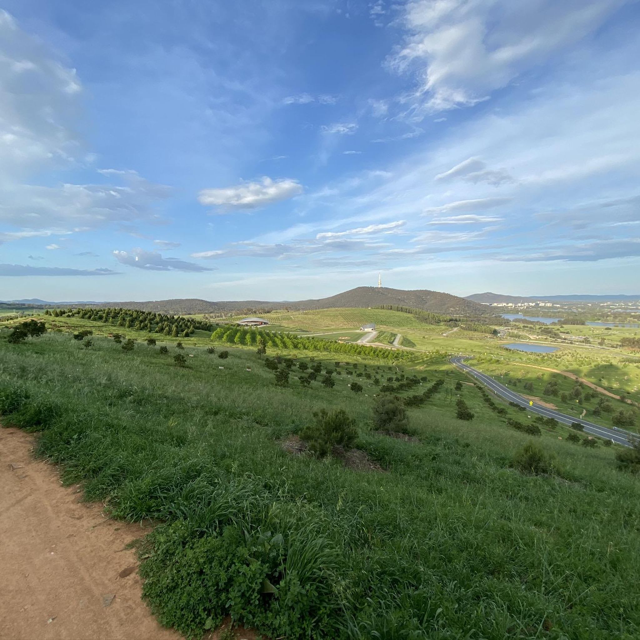
Mount Taylor rises 856 metres above sea level, with expansive views across Canberra, Black Mountain, the Brindabella Ranges, and the surrounding nature reserves. There is a trig point marking the summit, along with several benches and interpretive signs that help identify many of the landmarks visible from the top, inviting you to stay a while and enjoy the scenery.
0
0
Mount Taylor rises 856 metres above sea level, with expansive views across Canberra, Black Mountain, the Brindabella Ranges, and the surrounding nature reserves. There is a trig point marking the summit, along with several benches and interpretive signs that help identify many of the landmarks visible from the top, inviting you to stay a while and enjoy the scenery.
0
0
Mount Taylor rises 856 metres above sea level, with expansive views across Canberra, Black Mountain, the Brindabella Ranges, and the surrounding nature reserves. There is a trig point marking the summit, along with several benches and interpretive signs that help identify many of the landmarks visible from the top, inviting you to stay a while and enjoy the scenery.
0
0


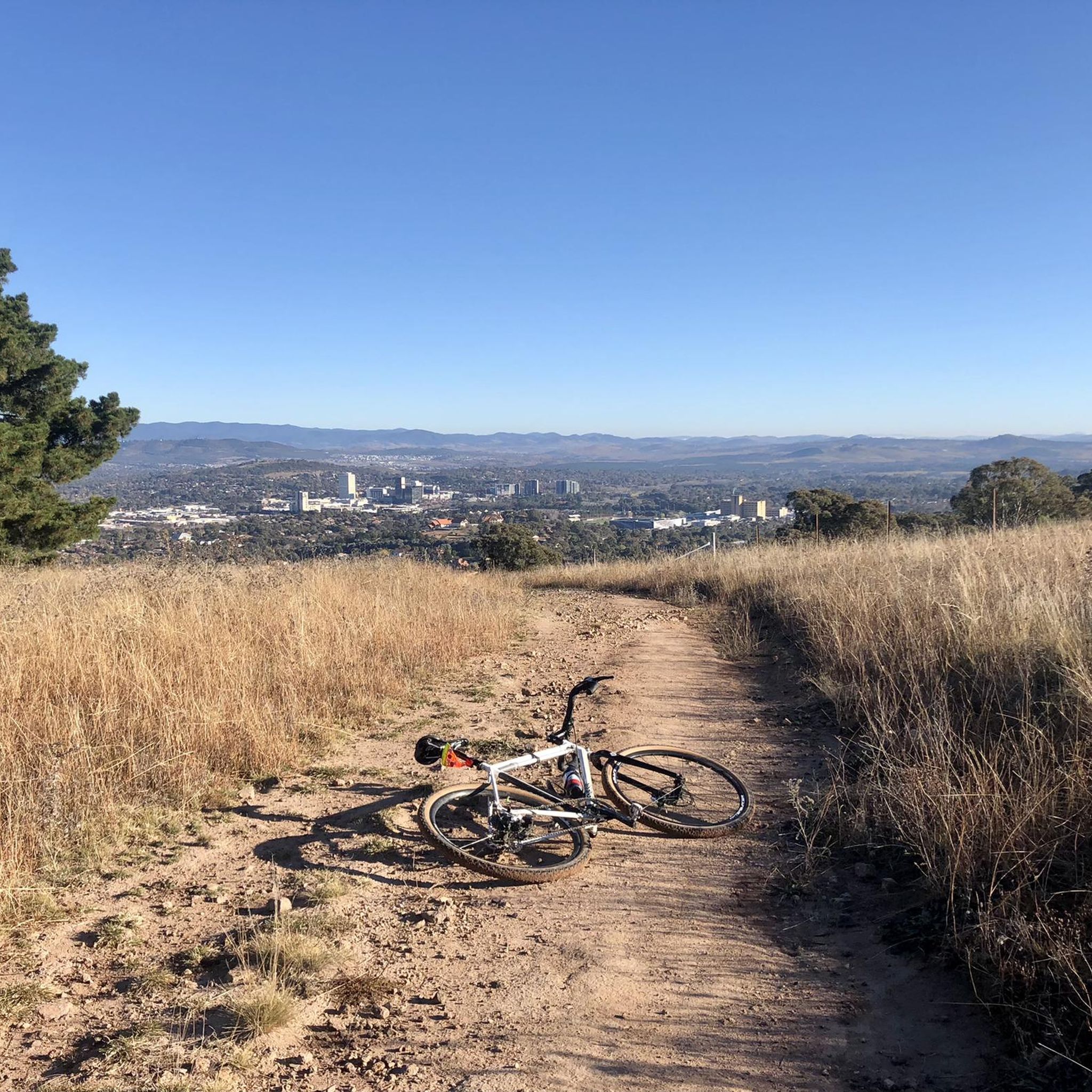
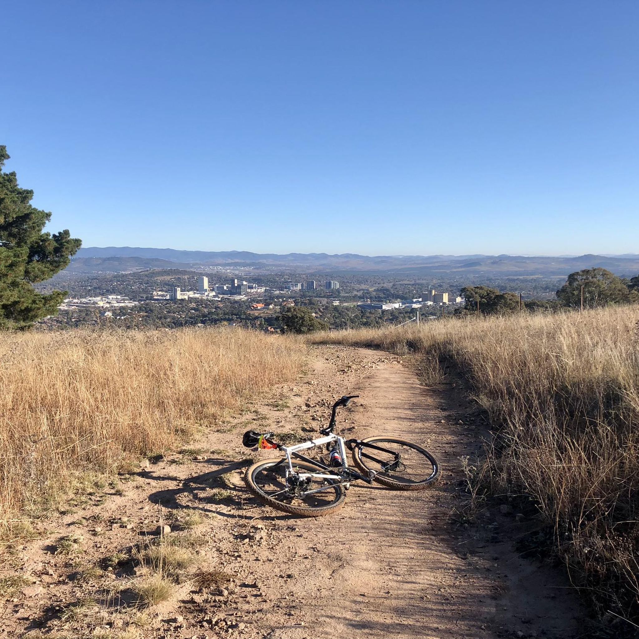
Will need decent rubber and low psi but this fairly flat, flowing singletrack is good fun. No large gaps, drops or descents. Watch for jagged rocks and exposed tree roots.
0
0
Suitable for gravel or mtb setups as long as you’re running decent rubber and low psi. Nice flowing singletrack without many ascents, drops or gaps. Track does have many exposed rocks and roots.
0
0
Trig point for Isaacs Ridge offering great views in all directions. Should be accessible via the gate just downhill. Not sure the paddocks have stock but best keep the gate shut.
0
0
Frequently Asked Questions
What are the difficulty levels of hiking trails in Isaacs Ridge Nature Reserve?
Isaacs Ridge Nature Reserve offers a range of trails suitable for various fitness levels. You'll find 65 easy routes, 30 moderate routes, and 4 more challenging routes. The terrain generally consists of well-maintained dirt paths and fire trails with gentle to moderate hills.
What is the typical length of hikes in Isaacs Ridge Nature Reserve?
Hikes in Isaacs Ridge Nature Reserve vary in length. For example, the Lower Spine Pines Singletrack – Isaacs Ridge Trig Point loop from Farrer is an easy 3.9 miles (6.3 km) route, while the Mount Taylor Summit loop from Torrens is a moderate 6.3 miles (10.2 km) trail.
Is there parking available for hikers at Isaacs Ridge Nature Reserve?
Yes, parking is generally available at various access points around Isaacs Ridge Nature Reserve. Common starting points for trails often have designated parking areas, such as those near Isaacs and Farrer.
Can I reach Isaacs Ridge Nature Reserve using public transport?
While public transport options might be limited directly to the trailheads, some bus routes in Canberra may get you within walking distance of the reserve's perimeter. It's advisable to check local bus schedules for the most current information.
Are there family-friendly hiking options in Isaacs Ridge Nature Reserve?
Absolutely. With 65 easy routes, Isaacs Ridge Nature Reserve has many options suitable for families. These trails often feature gentle gradients and well-maintained paths, perfect for a leisurely walk with children. Consider routes that avoid steep ascents for a more relaxed family outing.
Are dogs allowed on trails in Isaacs Ridge Nature Reserve?
Isaacs Ridge Nature Reserve is generally dog-friendly, but dogs must be kept on a leash at all times to protect local wildlife and ensure the safety of other visitors. Always check signage at trailheads for any specific restrictions.
What is the best time of year to hike in Isaacs Ridge Nature Reserve?
The best time to hike in Isaacs Ridge Nature Reserve is typically during spring (September-November) and autumn (March-May) when the weather is mild and pleasant. Spring brings wildflowers, while autumn offers comfortable temperatures. Summer can be hot, and winter mornings can be chilly, but hiking is possible year-round.
Are there any circular walks in Isaacs Ridge Nature Reserve?
Yes, many of the trails in Isaacs Ridge Nature Reserve are designed as loops, offering varied scenery without retracing your steps. Examples include the Isaacs Ridge Trig Point – Lower Spine Pines Singletrack loop from Isaacs and the Lower Spine Pines Singletrack – Isaacs Ridge Trig Point loop from Farrer.
What kind of wildlife can I expect to see in Isaacs Ridge Nature Reserve?
Isaacs Ridge Nature Reserve is home to various native Australian wildlife. Keep an eye out for kangaroos, wallabies, and a diverse range of bird species. Early mornings and late afternoons are often the best times for wildlife spotting.
What do other hikers enjoy most about hiking in Isaacs Ridge Nature Reserve?
The area is highly rated by the komoot community, with an average score of 4.6 stars from over 65 reviews. Reviewers often praise the quiet bushland setting, the panoramic views from the trig point, and the well-maintained network of trails suitable for different abilities.
Are there any viewpoints or scenic spots along the trails?
Yes, the prominent trig point at Isaacs Ridge offers excellent panoramic views over the surrounding landscape, including parts of Canberra and the distant mountains. Several trails lead to this viewpoint, providing rewarding vistas.
What should I wear when hiking in Isaacs Ridge Nature Reserve in winter?
In winter, it's advisable to wear layers to adapt to changing temperatures. A warm base layer, a fleece or insulated mid-layer, and a waterproof/windproof outer shell are recommended. Don't forget a hat, gloves, and sturdy, waterproof hiking boots, especially as mornings can be quite cold.
Most popular routes in Isaacs Ridge Nature Reserve

Get inspired with the komoot mobile app


Explore more
Browse the best Hikes in other regions.
