The best walks and hikes in Mount Majura Nature Reserve
4.3
(61)
2,930
hikers
93
hikes
Hiking in Mount Majura Nature Reserve offers a network of trails through woodlands and open grasslands, characteristic of the Australian Capital Territory. The reserve features rolling hills, including Mount Majura itself, providing varied terrain for outdoor activities. This area is known for its natural bushland environment, offering a mix of gentle slopes and more challenging ascents. The landscape primarily consists of eucalyptus forests and native vegetation, supporting local wildlife.
Best hiking trails in Mount Majura Nature Reserve
- The most popular…
Last updated: May 21, 2026
3
hikers
6.25km
01:59
240m
240m
Easy hike. Great for any fitness level. Easily-accessible paths. Suitable for all skill levels.
5.0
(2)
65
hikers
5.40km
01:46
250m
250m
Easy hike. Great for any fitness level. Easily-accessible paths. Suitable for all skill levels.

Sign up for free
4.8
(5)
48
hikers
6.94km
02:11
270m
270m
Moderate hike. Good fitness required. Easily-accessible paths. Suitable for all skill levels.
11
hikers
9.31km
02:52
330m
330m
Moderate hike. Good fitness required. Easily-accessible paths. Suitable for all skill levels.
10
hikers
7.05km
02:13
280m
280m
Moderate hike. Good fitness required. Easily-accessible paths. Suitable for all skill levels.
Get access to more routes and recommendations from other explorers.
Sign up for free
Already have an account?
Our route recommendations are based on thousands of hikes, rides, and runs completed by other people on komoot.
Start today with a free account
Your next adventure awaits.
Login or Signup

Tips from the Community

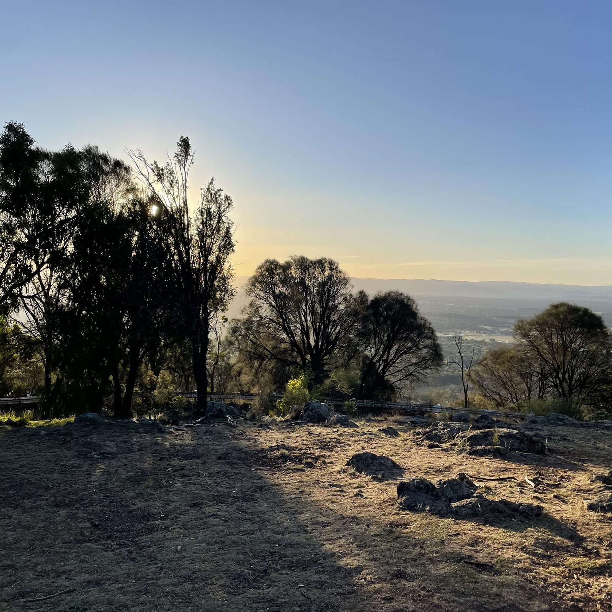
Late evening views emphasise characteristics of Canberra that one does not get from Mt Ainslie or Black Mountain.
0
0

This is the highest point within the urban boundaries of Canberra
1
0

Above the parking for cars and tourist buses is the aero beacon topping Mt Ainslie. Excellent views over the City and easily accessible either from the northern end of the BiCentennial Trail or via the stairs from the tourist area below. Tourist area sometimes has an icecream van but no toilet facilities. A water fountain is on the northern side of the tourist area.
0
0
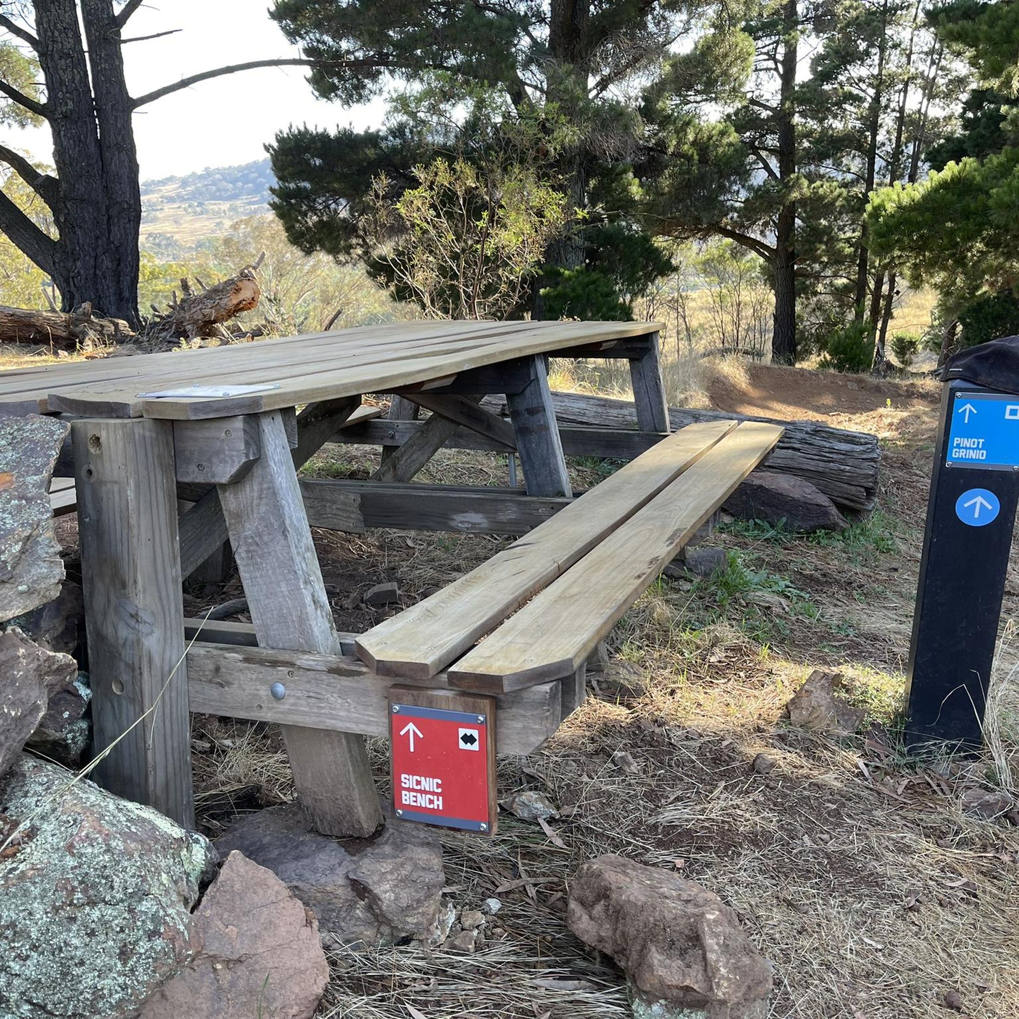
Another point where we really do need a bench rest beneath the trees. Good view to the north and the airport above a deep valley in the straight 123KVA lines and at the base of the tough pinch up Mt Ainslie. No water.
1
0
Lovely views towards the north, south and west...an aspect seldom seen in Canberra. You will probably see planes leaving from the Airport. Following the fenceline to northeast will lead down a ridge towards the industrial buildings. The main north track takes you to Mt Ainslie. No facilities and windswept.
0
0
Parking area and gate. No water or toilets but the start of the Blue Metal Road access to Mt Majura and the Bicentennial trail and road running around the north and south between the housing and the nature reserves
0
0
Frequently Asked Questions
How many hiking trails are available in Mount Majura Nature Reserve?
Mount Majura Nature Reserve offers a wide network of trails, with over 90 hiking routes recorded on komoot. These include a variety of options, from easy strolls to more challenging ascents, catering to different fitness levels.
Are there easy hiking trails suitable for beginners in Mount Majura Nature Reserve?
Yes, nearly half of the trails in Mount Majura Nature Reserve are rated as easy. A great option for beginners is the Mount Majura Summit loop from Watson, which is 3.4 miles (5.4 km) long and offers a gentle ascent to the summit.
What is the best time of year to hike in Mount Majura Nature Reserve?
The reserve is accessible year-round. Spring (September-November) and autumn (March-May) offer pleasant temperatures and vibrant natural scenery. Winter hikes are also possible, but it's advisable to check weather conditions and wear appropriate layers, as mornings can be cool.
Are there any challenging hikes in Mount Majura Nature Reserve?
While most trails are easy to moderate, there are a few more challenging options. For example, the Hackett Trailhead – Mount Majura Summit loop from Hackett is a longer moderate route at 8.2 miles (13.2 km), featuring significant elevation gain that will test your endurance.
Are dogs allowed on the trails in Mount Majura Nature Reserve?
Mount Majura Nature Reserve is part of the Canberra Nature Park, where dogs are generally permitted on leash on most walking trails. However, it's always best to check local signage or the ACT Parks and Conservation Service website for any specific restrictions or areas where dogs might not be allowed, especially near sensitive wildlife habitats.
Are there any family-friendly walks in Mount Majura Nature Reserve?
Many of the easier trails are suitable for families. The Mount Majura Summit loop from Watson is a popular choice, offering a manageable distance and rewarding views that children can enjoy. The varied terrain of woodlands and open grasslands provides an engaging environment for younger hikers.
What kind of wildlife can I expect to see while hiking in Mount Majura Nature Reserve?
Mount Majura Nature Reserve is home to diverse native wildlife. Hikers often spot kangaroos, wallabies, and a variety of bird species, including parrots and honeyeaters. Keep an eye out for reptiles like lizards, especially on sunny days. Maintaining a respectful distance and staying on marked trails helps protect these animals.
Are there any circular routes available for hiking in Mount Majura Nature Reserve?
Yes, many of the popular routes in the reserve are circular, allowing you to start and end at the same point. Examples include the Mount Majura Summit – Hackett Trailhead loop from Watson and the Mount Majura Summit – Hackett Trailhead loop from Hackett, both offering varied scenery on a loop.
What should I wear when hiking in Mount Majura Nature Reserve?
It's recommended to wear comfortable hiking shoes with good grip, as trails can be uneven. Dress in layers to adapt to changing weather conditions, and always bring sun protection like a hat, sunglasses, and sunscreen, even on cloudy days. Carrying sufficient water is also essential.
What do other hikers enjoy the most about hiking in Mount Majura Nature Reserve?
The area is highly rated by the komoot community, with an average score of 4.3 stars from over 50 reviews. Reviewers often praise the quiet woodlands, the rewarding summit views over Canberra, and the well-maintained trails that offer a great escape into nature close to the city.
Is there public transport access to Mount Majura Nature Reserve trails?
While direct public transport to all trailheads might be limited, some trailheads, particularly those closer to residential areas like Watson or Hackett, may be accessible via Canberra's bus network. It's advisable to check the Transport Canberra website for current routes and schedules to plan your journey.
Are there parking facilities available at the trailheads?
Yes, there are designated parking areas at various trailheads around Mount Majura Nature Reserve, including those near Watson and Hackett. These car parks provide convenient access to the trail network. Always check for signage regarding parking regulations upon arrival.
Are there any cafes or facilities near the Mount Majura hiking trails?
Mount Majura Nature Reserve is primarily a natural bushland area, so facilities within the reserve itself are minimal. However, the reserve is located close to Canberra's suburbs like Watson and Hackett, where you can find cafes, shops, and public amenities a short drive or walk from the trailheads.
Most popular routes in Mount Majura Nature Reserve

Get inspired with the komoot mobile app


Explore more
Browse the best Hikes in other regions.
