The 6 Most Amazing Peaks around Guldental
Best mountain peaks around Guldental are characterized by significant natural elevations and impressive rock formations rather than traditional high peaks. The region features a diverse landscape with an average elevation of 192 meters, reaching a maximum height of 287 meters. Guldental is known for its extensive hiking trails that traverse picturesque valleys, dense forests, and vineyards. These natural features offer varied landscapes and panoramic views for outdoor enthusiasts.
Best mountain peaks around Guldental
- The most popular mountain peaks is View…
Last updated: July 15, 2026
View from the Gans (Bad Kreuznach)
Highlight • Viewpoint
Translated by Google •
Tip by

Zotzenheimer Horn Viewpoint
Highlight • Viewpoint
Translated by Google •
Tip by

Sign up now to discover places like this
Get recommendations on the best single tracks, peaks, & plenty of other exciting outdoor places.
Sign up for free
Weissenfels Viewpoint
Highlight • Viewpoint
Translated by Google •
Tip by

Gans (321.7 m) – Highest Point of the Salinental
Highlight • Summit
In the area are the 321.7 m high goose, the 290.8 m high Haidberg and the 136 m high porphyry rock formation Rheingrafenstein.
Have fun and ride save!
Translated by Google •
Tip by

Heinrichskopf
Highlight • Summit
Translated by Google •
Tip by

Sign up for free to discover even more peaks around Guldental.
Sign up for free
Already have an account?
Start today with a free account
Your next adventure awaits.
Login or Signup
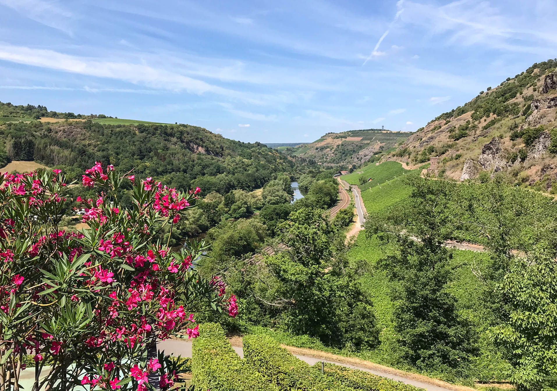
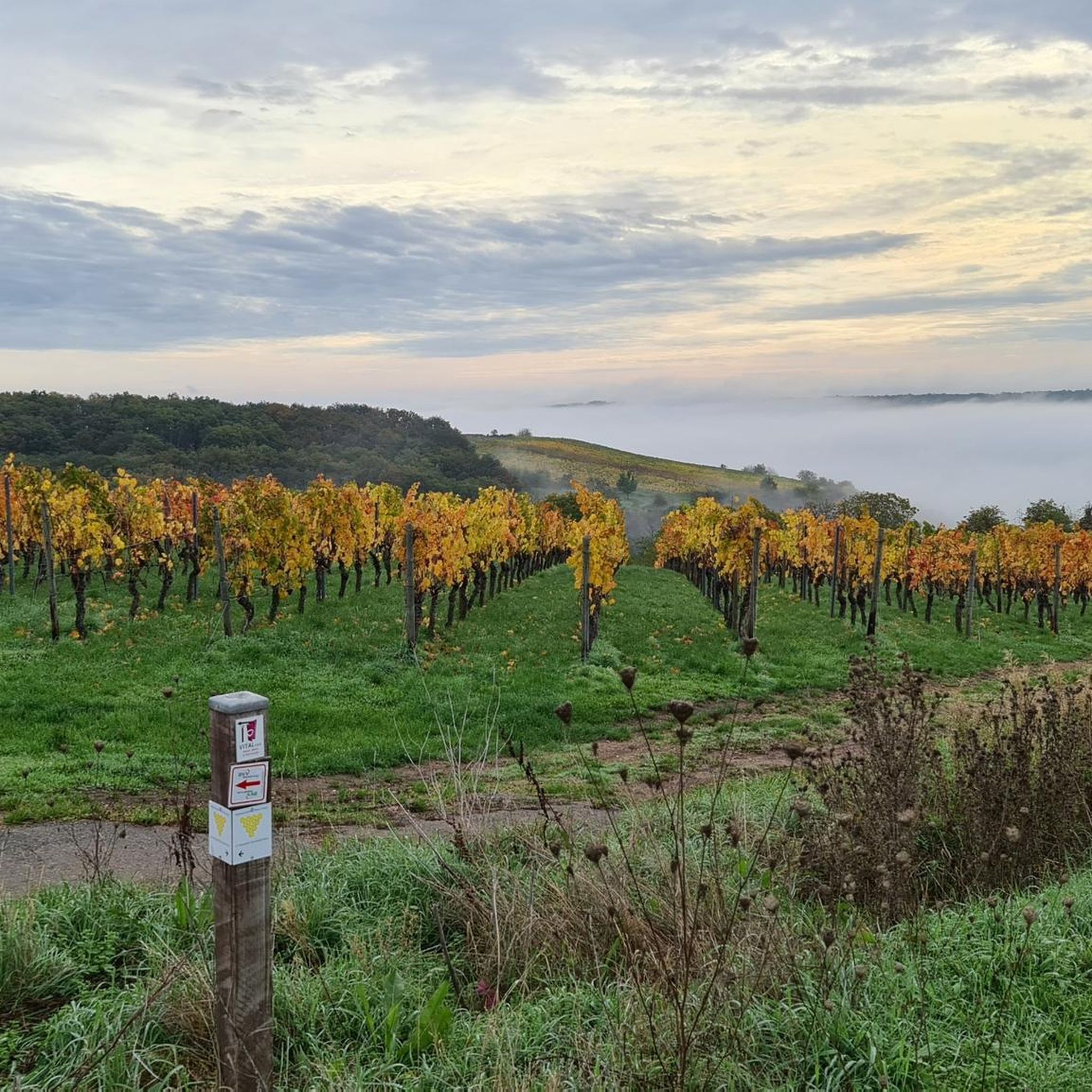
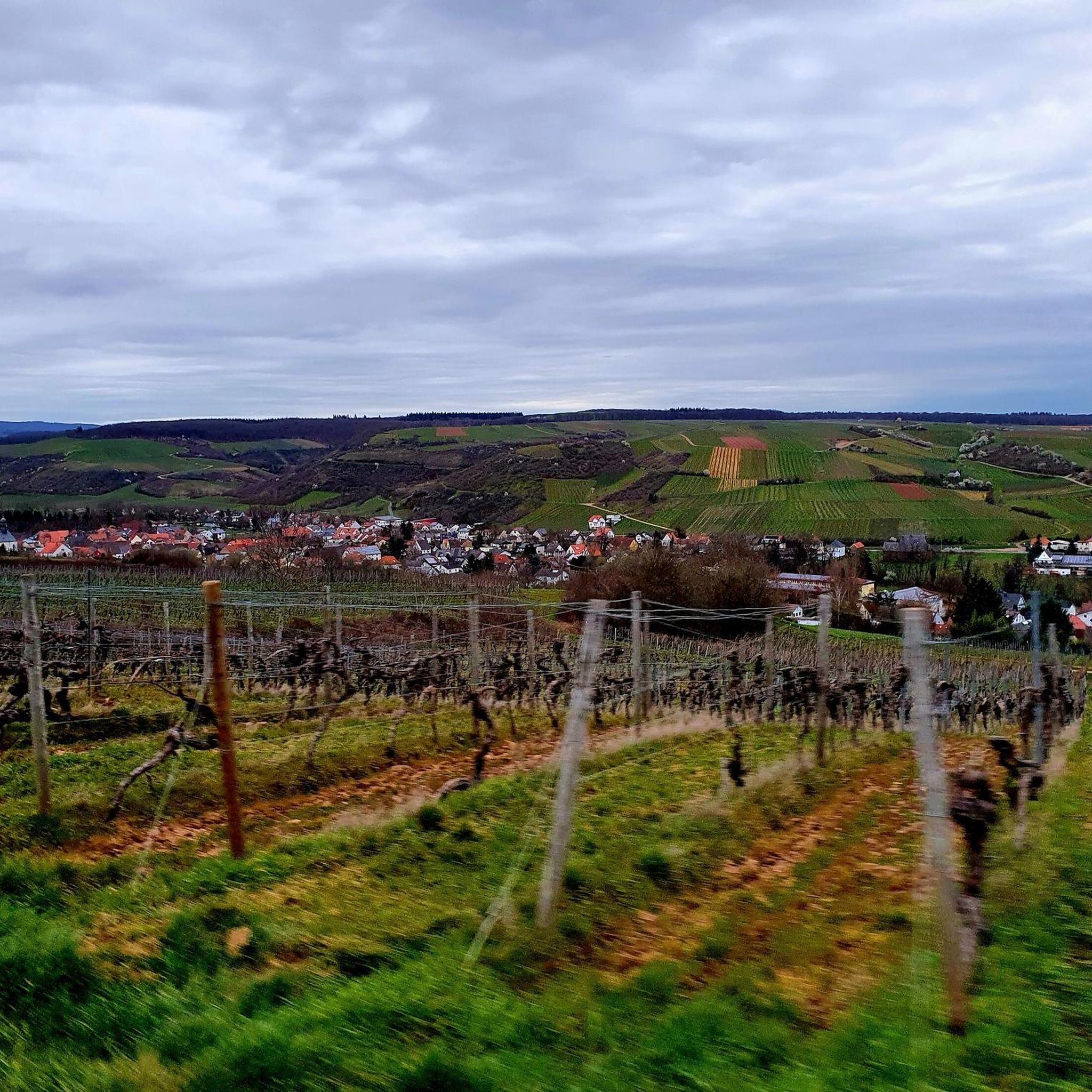
Other adventures around Guldental

Tips from the Community

When the visibility is good you really have a great view
1
0

When the visibility is good, you can see as far as the Donnersberg. There are even free binoculars installed here!
2
0

Panorama and free binoculars Lots of space, little shade
1
0

If the weather is good, great view
2
0

The Donnersberg is usually clearly visible, it is only 40 km away. But the Odenwald (70 km) often has to be guessed in the haze.
2
0
Just beautiful - sufficient rest areas and a fantastic view
1
0

Beautiful, narrow paths run around the Heinrichskopf
2
1

Where the hiking trail goes around the Heinrichskopf, the landscape is very varied and partly rocky.
2
0
Frequently Asked Questions
What are the most notable natural elevations and rock formations in the Guldental region?
The Guldental region is characterized by significant natural elevations and impressive rock formations rather than traditional high peaks. Key natural features include the Rotenfels, an impressive rock massif rising to 327 meters above sea level with a 202-meter-high steep face, and the Rheingrafenstein, a striking 136-meter-high porphyry rock formation that also hosts castle ruins.
Which viewpoints offer the best panoramic views around Guldental?
For splendid panoramic views, consider visiting the View from the Gans (Bad Kreuznach), which stands at 320 meters high and overlooks the spa towns of Bad Münster am Stein-Ebernburg and Bad Kreuznach. Another excellent spot is the Zotzenheimer Horn Viewpoint, known for its fantastic panorama and even offering free binoculars for enhanced viewing.
Are there family-friendly spots among the natural elevations near Guldental?
Yes, several spots are suitable for families. The View from the Gans (Bad Kreuznach), Weissenfels Viewpoint, and Zotzenheimer Horn Viewpoint are all categorized as family-friendly, offering accessible paths and pleasant environments for all ages to enjoy the scenery.
What historical sites can be found near the natural elevations in Guldental?
Near the natural elevations, you can explore the Rheingrafenstein, a striking porphyry rock formation that features the ruins of an 11th-century castle. This site combines natural beauty with historical intrigue, offering a glimpse into the region's past.
What hiking opportunities are available around Guldental's natural features?
Guldental is a hub for numerous hiking opportunities. You can explore sections of the Soonwaldsteig and the Rhine-Nahe-High Trail. The "Guldentaler Krönchen" is another recommended route. For more detailed hiking routes, you can explore the Hiking around Guldental guide, which includes trails like the "Sandstone Cliff in Hunsrück – Rock Hermitage Bretzenheim loop from Guldental".
What is the highest point in the immediate vicinity of Guldental?
While Guldental itself has a maximum height of 287 meters, the highest point mentioned in the immediate vicinity is the Gauchsberg Summit (437 m). Another significant elevation is the Gans (321.7 m) – Highest Point of the Salinental, offering great views of the Nahetal.
Are there cycling or gravel biking routes near the natural elevations of Guldental?
Yes, the region offers diverse cycling and gravel biking routes. For gravel biking, consider routes like "Vineyards, Nahe valley and the Rotenfels around Bad Kreuznach" or "Nahe River at Rheingrafenstein – Bridge Houses in Bad Kreuznach loop from Bretzenheim (Nahe)". You can find more options in the Gravel biking around Guldental guide and the Cycling around Guldental guide.
What do visitors particularly enjoy about the natural spots around Guldental?
Visitors frequently praise the magnificent views and the peaceful atmosphere. For instance, the Weissenfels Viewpoint is noted as a "great place to take a breather and enjoy the wonderful view." Many also appreciate the well-maintained rest areas and the opportunity for panoramic photography.
What is the best time of year to visit Guldental for outdoor activities?
The charm of Guldental's surroundings transforms with the seasons. Spring brings blossoming fields, summer offers shady forests, and autumn showcases colorful landscapes. This makes the region appealing for outdoor activities throughout much of the year, depending on your preferred scenery.
Are there any unique natural monuments or features to look out for?
Beyond the prominent Rotenfels and Rheingrafenstein, you can find unique features like the Gauchsberg Summit (437 m), which features an impressive wooden sculpture depicting cuckoo birds. The region's diverse flora and fauna also contribute to its natural beauty.
Can I combine a visit to a viewpoint with a longer hike?
Absolutely. Many viewpoints, such as the View from the Gans (Bad Kreuznach), can be integrated into longer tours. This viewpoint is comfortably hiked from Rheingrafenstein Castle and the observatory, with numerous other viewpoints along the trail, making it suitable for tours between 2 and 8 kilometers.
Most popular routes around Guldental
Most popular attractions around Guldental

Get inspired with the komoot mobile app


Explore more
See even more amazing summits around Guldental with these guides:
