The 20 Most Amazing Peaks around Immendingen
Best mountain peaks around Immendingen are found in a region characterized by its scenic location on the Upper Danube in Baden-Württemberg, Germany. The municipality is known for the Höwenegg, a prominent mountain marking the beginning of the extinct volcanic landscape of Hegau. This area offers a blend of geological interest, historical significance, and natural beauty, with elevations around 662 meters in Immendingen itself and average elevations in the surrounding area reaching about 760 meters. The terrain is hilly, providing various…
Last updated: August 16, 2026
Mägdeberg Castle Ruins
Highlight • Castle
Translated by Google •
Tip by

Himmelberg Summit and Shelter
Highlight • Summit
Translated by Google •
Tip by

Sign up now to discover places like this
Get recommendations on the best single tracks, peaks, & plenty of other exciting outdoor places.
Sign up for free
Hohenkarpfen Summit and Panoramic View
Highlight • Summit
Translated by Google •
Tip by

Napoleonseck (1,800 m)
Highlight • Viewpoint
Translated by Google •
Tip by

Neuhewen summit and ruins (Stettener Schlösschen)
Highlight • Castle
Translated by Google •
Tip by

Sign up for free to discover even more peaks around Immendingen.
Sign up for free
Already have an account?
Start today with a free account
Your next adventure awaits.
Login or Signup
Popular around Immendingen
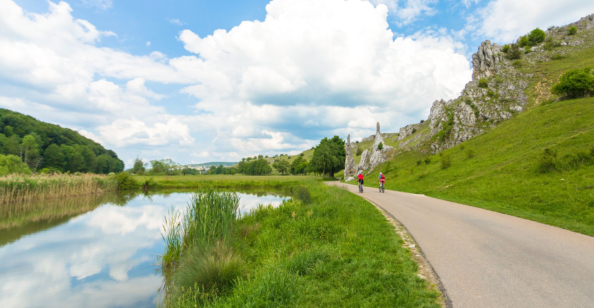
Feel the power of the water - cycling on the Swabian Alb
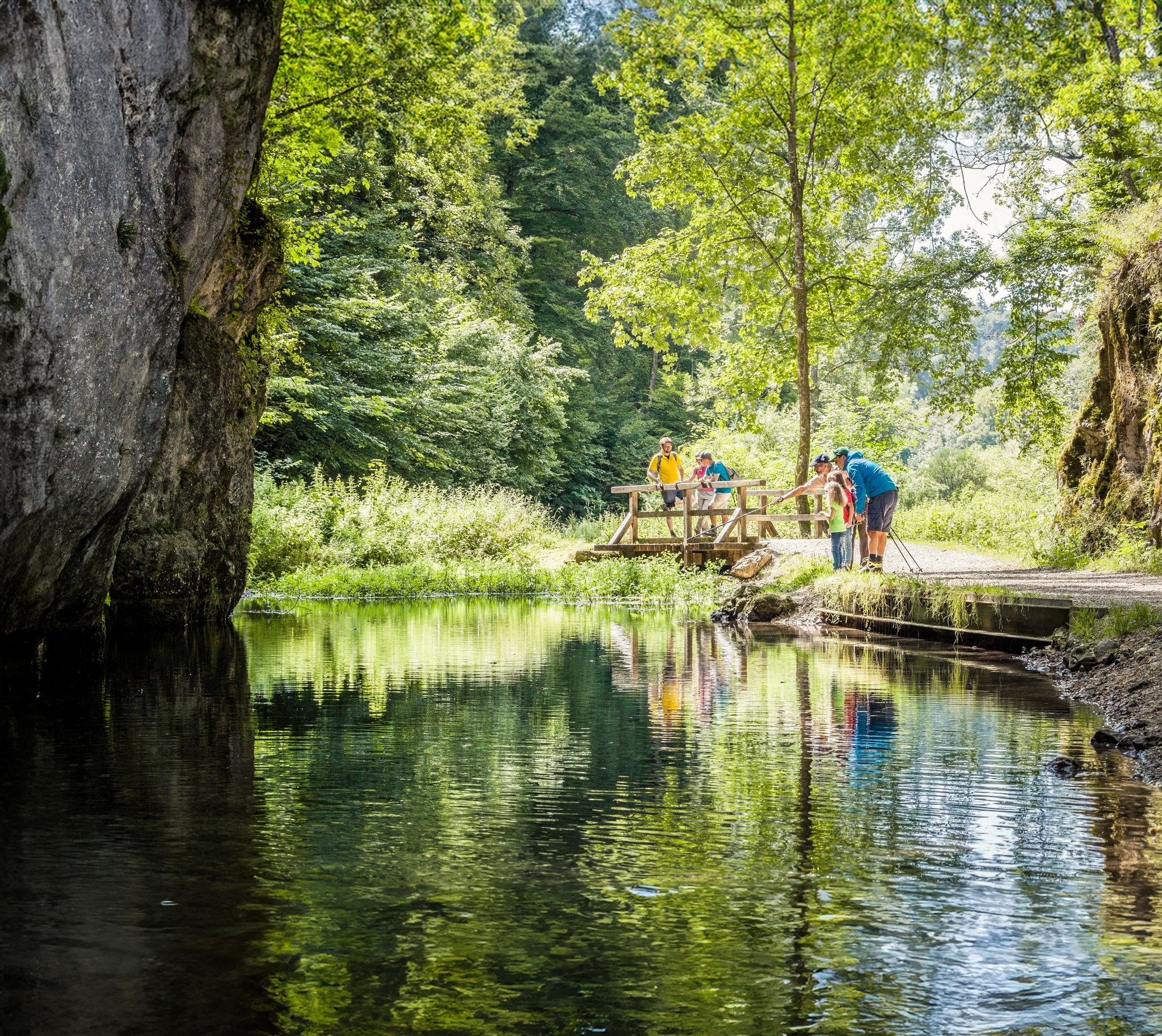
Waterside trails – refreshing hikes on the Swabian Alb
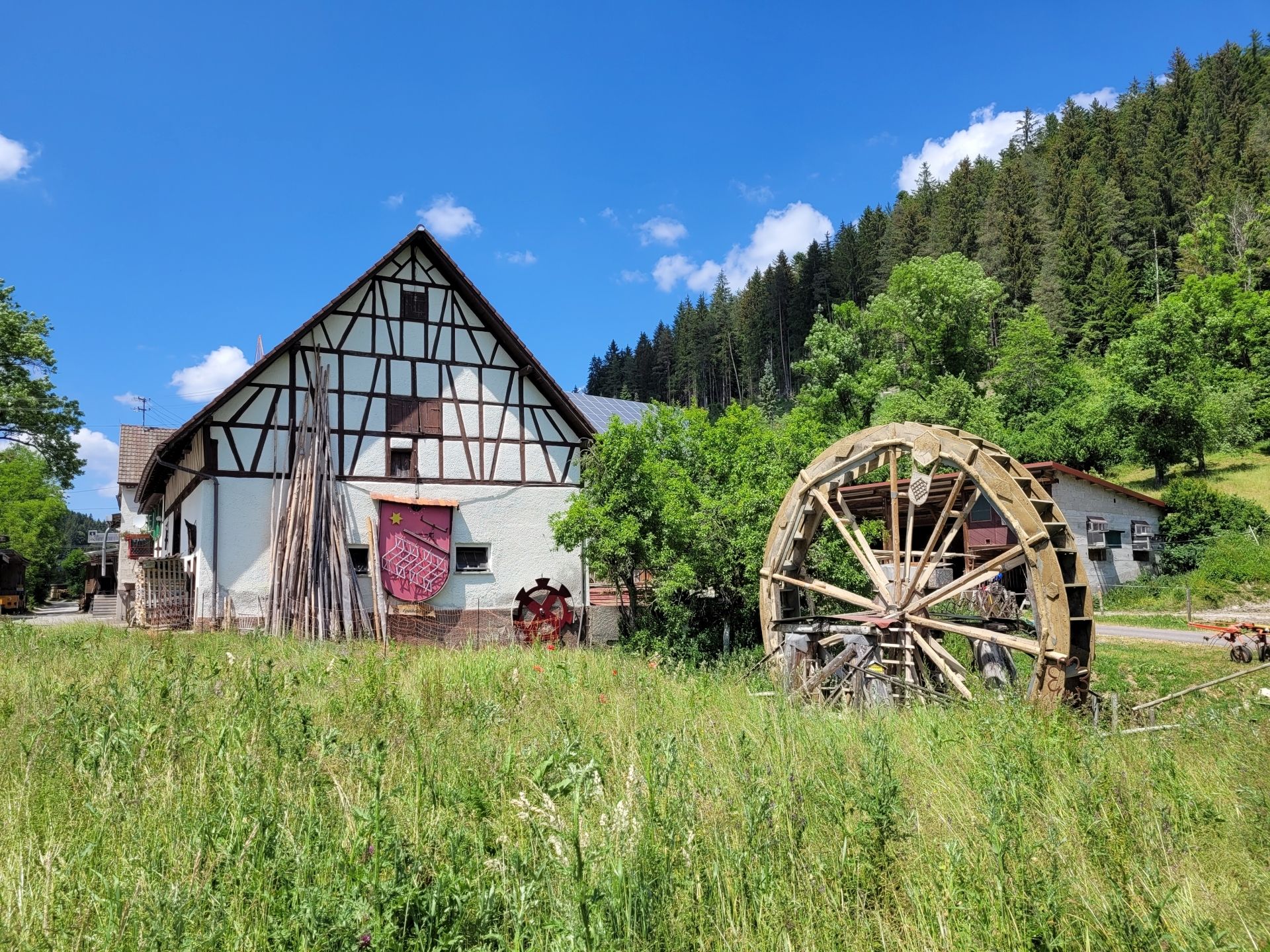
Great rides and delicious food in Donaubergland
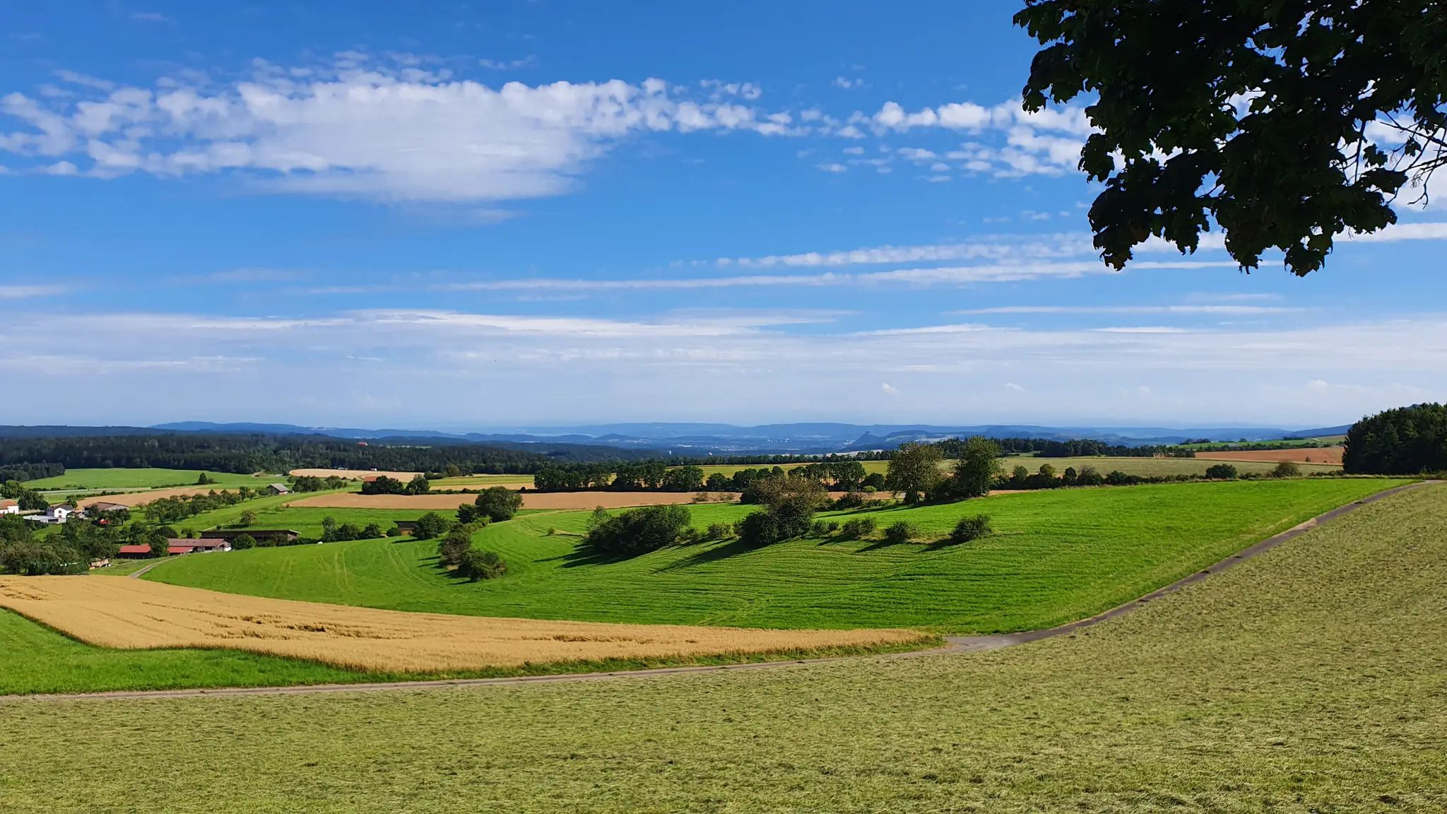
The Schwarzwald-Jura-Bodensee Weg
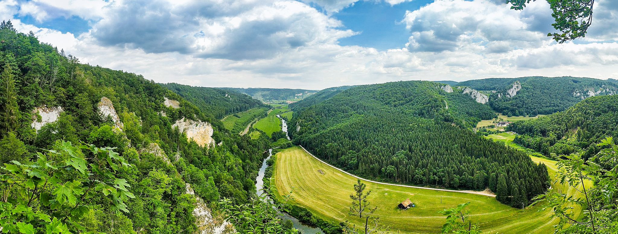
The „Donaubergland” – hikes around the Swabian Grand Canyon
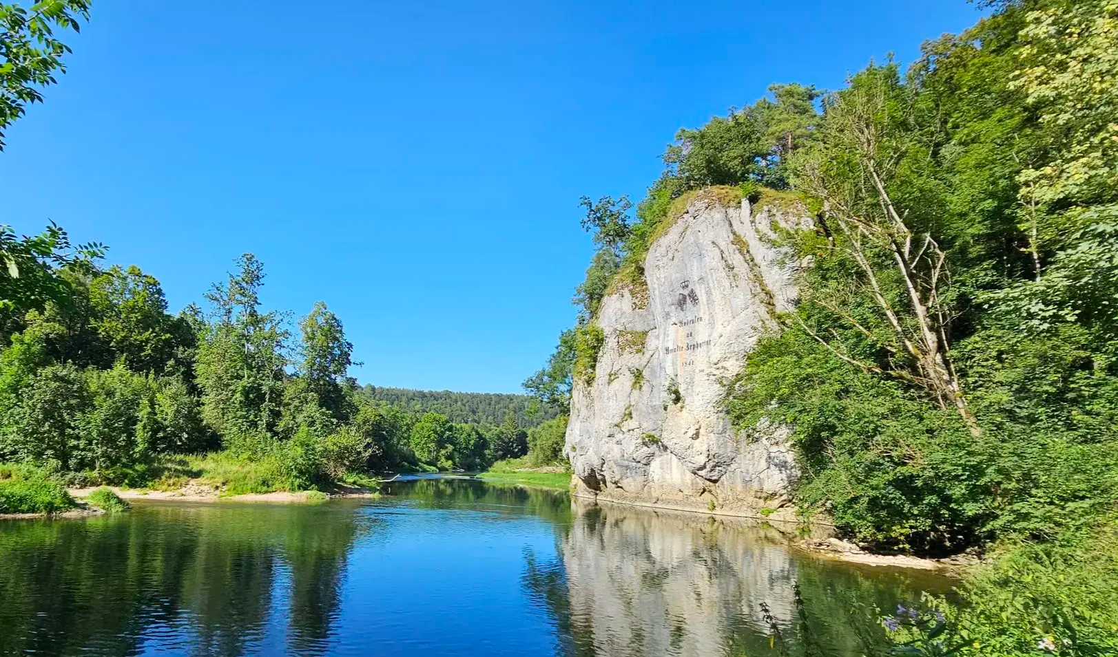
Aktiv in die längeren Tage – Frühlingswandern zwischen Alb und Donau

Spielend die Natur entdecken – Familienwandern auf der Schwäbischen Alb
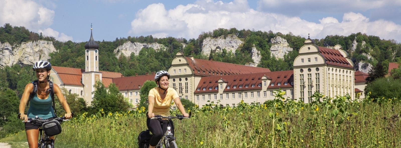
Das „Donaubikeland” – Tagestouren im Donaubergland
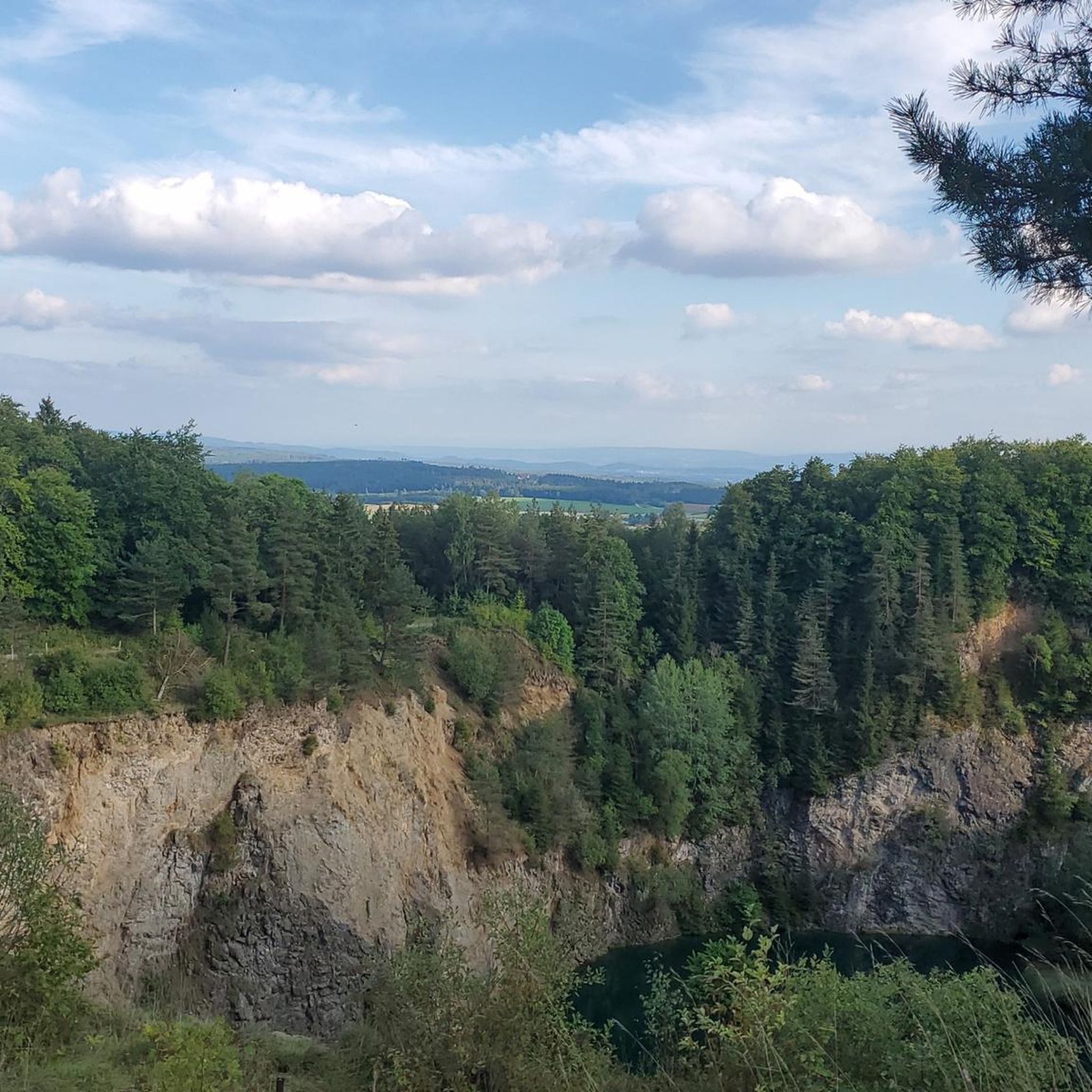
Hiking around Immendingen
Cycling around Immendingen
Other adventures around Immendingen


Tips from the Community

A magnificent view of the Hegau and a wonderfully rustic gravel path - it couldn't be better!
0
0

The Neuhewen is the highest volcanic cone in the Hegau (from the Celtic "hewen" = cone). Preserved: keep, remains of walls. Built in the middle of the 13th century for the Lords of Engen (Hewen). Mentioned in 1303-1308. Destroyed by Bavarian troops in 1639 during the Thirty Years' War. Repair work carried out in 1952 and 1962. Surrounded by a fence and not accessible. Source and floor plan of the castle ruins: https://www.alleburgen.de/bd.php?id=11676
1
0

The short climb is definitely worth it. There are several ways to get up. All of them go through loose beech forests and also with sunny sections along the edge of the forest.
3
0

after years again on denHimmelberg, hut was immediately used to rest
4
1

Since 2005, the ruin has been secured against access with barricades and razor wire.
3
0
a nice view through the trees
6
0
beautiful all-round view from the Hoher Karpfen
6
0
Big, wild ruin with several paths, passages and some brickwork!
3
0
Frequently Asked Questions
What are the most notable mountain peaks and elevated features around Immendingen?
The most prominent elevated feature is the Höwenegg, an extinct volcano known for its unique geological and archaeological significance. Other notable peaks include Mägdeberg Castle Ruins, a strategically located castle and summit, and Himmelberg Summit and Shelter, which offers views towards the Black Forest and the Baar.
What kind of views can I expect from the peaks in the Immendingen area?
Many peaks offer expansive views. From Himmelberg Summit and Shelter, you can see towards the Black Forest and the Baar. Hohenkarpfen Summit and Panoramic View provides panoramic views in all directions, and on clear days, you might even catch a glimpse of the Swiss Alps.
Are there any historical sites among the mountain peaks around Immendingen?
Yes, the region is rich in history. Mägdeberg Castle Ruins is a well-preserved hilltop castle ruin with historical significance. Additionally, Napoleonseck is a viewpoint with historical ties to the Battle of Engen in 1800.
What is the Höwenegg known for?
The Höwenegg is an extinct volcano, making it a unique geological feature. It's also an important archaeological site where remains of prehistoric animals like saber-toothed tigers and ancestral horses have been found. Today, it's a designated nature reserve offering hiking opportunities.
Are there family-friendly mountain walks or viewpoints in the Immendingen region?
Yes, Napoleonseck is noted as a family-friendly viewpoint. While many trails in the area are suitable for families, it's always good to check the specific route difficulty. The general terrain around Immendingen is hilly rather than strictly mountainous, making some areas more accessible.
What outdoor activities can I do near the mountain peaks around Immendingen?
The area offers a variety of outdoor activities. You can find numerous hiking trails, including those around the Donauversickerung (Danube Sinkhole) and Höwenegg Crater Lake. There are also options for gravel biking and mountain biking. For more details on routes, you can explore the Hiking around Immendingen guide or the Gravel biking around Immendingen guide.
What is the typical elevation of mountain peaks in the Immendingen area?
Immendingen itself is around 662 meters above sea level, with average elevations in the surrounding area reaching about 760 meters. Specific peaks like Mägdeberg Castle Ruins stand at about 654 meters, while Himmelberg Summit and Shelter reaches 941.2 meters.
Are there any challenging hikes to mountain peaks in the Immendingen area?
Some ascents can be challenging. For instance, the path to Himmelberg Summit and Shelter is described as a difficult ascent. The trails around Neuhewen summit and ruins are also noted for being challenging, with some sections being narrow and potentially overgrown.
What do visitors particularly enjoy about the mountain peaks and trails near Immendingen?
Visitors frequently praise the magnificent panoramic views, especially from spots like Hohenkarpfen Summit and Panoramic View. The well-maintained paths and the unique blend of natural beauty, geological interest, and historical sites, such as the castle ruins, are also highly appreciated.
Can I find parking near the hiking trails for the mountain peaks?
Yes, for some popular spots, parking is available. For example, there is a hiking car park located about 300 meters from Mägdeberg Castle Ruins.
Are there any mountain peaks that are also natural monuments in the area?
Yes, several peaks hold significance as natural monuments. The Höwenegg is a nature reserve, and both Mägdeberg Castle Ruins and Hohenkarpfen Summit and Panoramic View are categorized as natural monuments, highlighting their ecological or geological importance.
Most popular routes around Immendingen
Most popular attractions around Immendingen

Get inspired with the komoot mobile app


Explore more
See even more amazing summits around Immendingen with these guides:
