The best walks and hikes around Hellmonsödt
4.6
(3126)
22,669
hikers
57
hikes
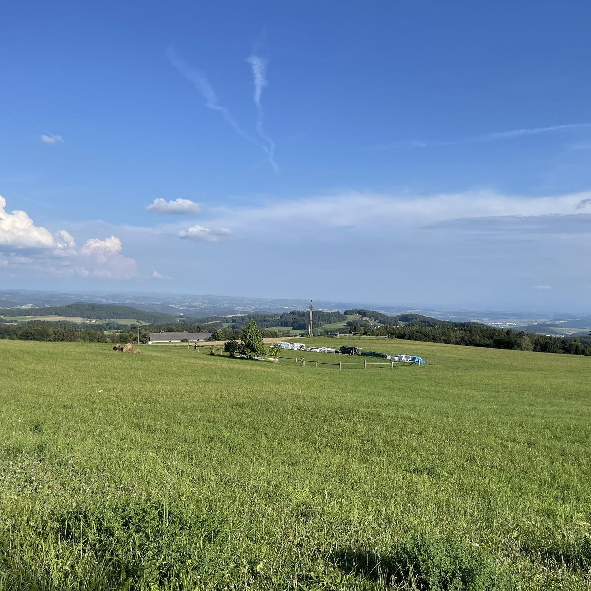
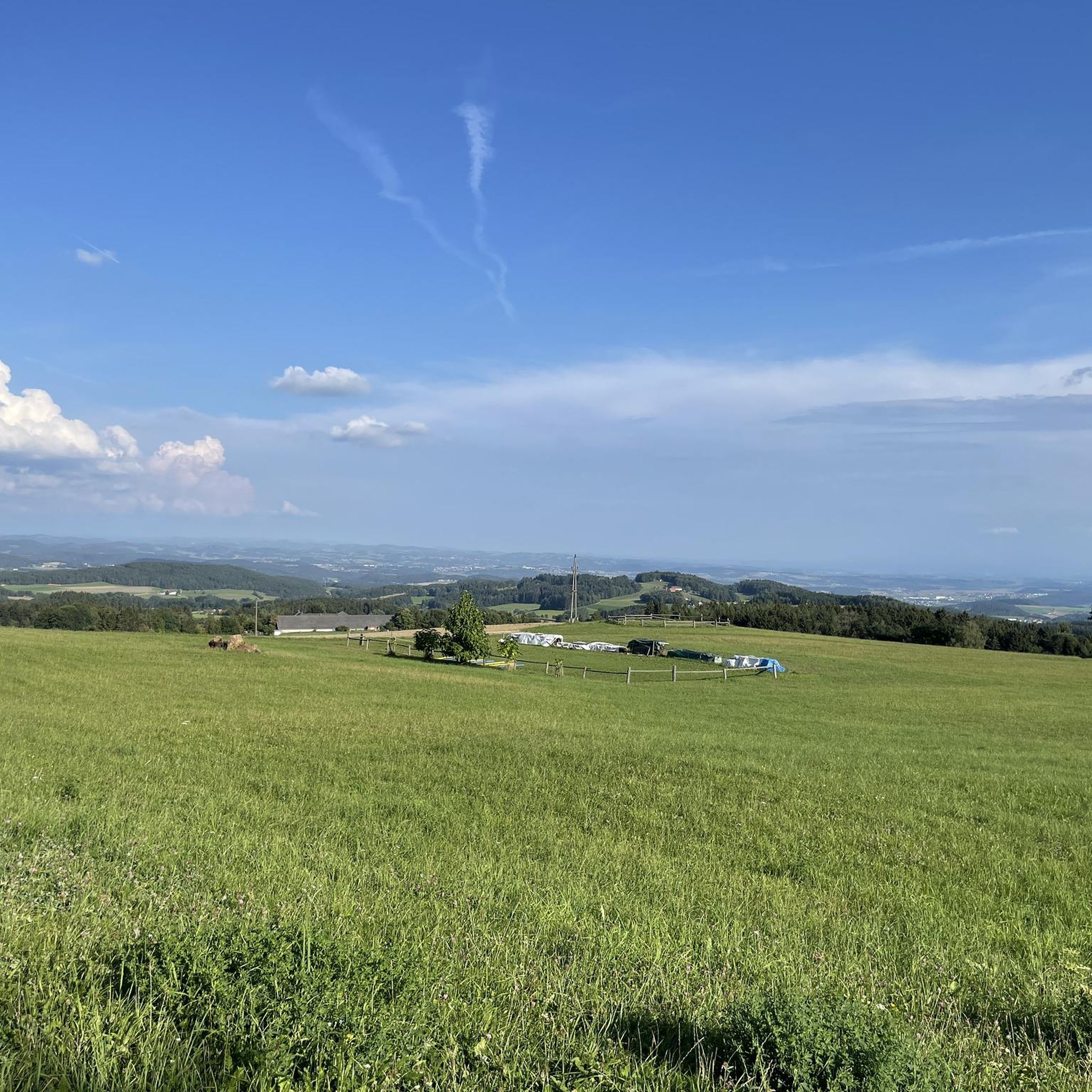
Hiking around Hellmonsödt offers diverse landscapes within Upper Austria, characterized by rolling hills and a mix of lush meadows and deep forests. The region is situated within the Mühlviertler Hochland, a granite mountain area north of the Danube. Trails often provide panoramic views of the surrounding Alpine foothills, extending to the Bohemian Forest on clear days. This varied terrain makes Hellmonsödt a destination for outdoor activities.
Best hiking trails around Hellmonsödt
- The most popular hiking route is Viewpoint Bench Above Wirth – Parish Church of Hellmonsödt loop from Hellmonsödt, a 5.6 miles (9.0 km) trail that takes 2 hours 29 minutes to complete. This route offers panoramic views of the surrounding Alpine foothills.
- Another top favourite among local hikers is Parish Church of Hellmonsödt – Wasserwald Leisure Park loop from Hellmonsödt, an easy 3.4 miles (5.5 km) path. This path traverses varied terrain including lush meadows and woodland edges.
- Local hikers also love the Pelmberg Stüberl – Pelmbergstüberl loop from Hellmonsödt, a 4.0 miles (6.5 km) trail leading through a mix of forest and open fields, often completed in about 1 hour 46 minutes.
- Hiking around Hellmonsödt is defined by rolling hills, lush meadows, and deep forests, often providing panoramic views of the Alpine foothills. The network offers options for different ability levels, from easy strolls to moderate ascents.
- The routes in Hellmonsödt are highly rated by the komoot community with an average score of 4.6 stars from more than 2800 reviews. More than 22000 hikers have used komoot to explore Hellmonsödt's varied terrain.
Last updated: July 24, 2026
4.7
(23)
138
hikers
Moderate hike. Good fitness required. Easily-accessible paths. Suitable for all skill levels.
5.0
(5)
106
hikers
Easy hike. Great for any fitness level. Easily-accessible paths. Suitable for all skill levels.

Sign up for free
3.6
(9)
80
hikers
6.45km
01:50
140m
140m
Easy hike. Great for any fitness level. Easily-accessible paths. Suitable for all skill levels.
4.7
(10)
43
hikers
Moderate hike. Good fitness required. Easily-accessible paths. Suitable for all skill levels.
4.5
(4)
14
hikers
Easy hike. Great for any fitness level. Easily-accessible paths. Suitable for all skill levels.
Get access to more routes and recommendations from other explorers.
Sign up for free
Already have an account?
Our route recommendations are based on thousands of hikes, rides, and runs completed by other people on komoot.
Start today with a free account
Your next adventure awaits.
Login or Signup
Tips from the Community

closed for operational holidays until August 4th
0
0

It took a while, and I walked around the stone twice before I spotted the "witch"... I also took a great photo where she's clearly visible... (Picture 6) 🧹
1
0
Beautiful view of the treetops...YES To be honest, I expected more from the observation tower... But it was still nice to have been up there 🫶
1
0

Cozy guesthouse with great food
0
0

The sturdy, tall tower is now surrounded by equally tall trees - the view over the surrounding area to Reichenau is still clear, but towards the Alps a row of trees is already blocking the view.
0
0


There is now also a nice coffee house in the water park, here is the information about opening times etc.: http://www.landundliebe.at/STARTSEITE/
1
0
Frequently Asked Questions
How many hiking trails are available in Hellmonsödt?
Hellmonsödt offers a diverse network of over 50 hiking trails. These routes cater to various preferences, ranging from easy strolls to more moderate ascents through the region's varied landscapes.
What kind of terrain can I expect on hikes around Hellmonsödt?
The terrain around Hellmonsödt is characterized by rolling hills, lush meadows, and deep forests. Situated within the Mühlviertler Hochland, a granite mountain region, many trails offer panoramic views of the surrounding Alpine foothills. You'll encounter a mix of gentle paths and moderate ascents.
Are there easy hiking options suitable for beginners or families in Hellmonsödt?
Yes, Hellmonsödt has numerous easy hiking options, with 30 trails classified as easy. These are ideal for beginners or families. For example, the Parish Church of Hellmonsödt – Wasserwald Leisure Park loop is an easy 3.4-mile trail through varied terrain, often completed in about 1 hour 28 minutes. The ascent to St. Anna Chapel is also noted as suitable for families.
Can I find challenging hikes in the Hellmonsödt area?
While Hellmonsödt primarily features easy to moderate trails, some routes offer more significant elevation changes for those seeking a challenge. The region's rolling hills and granite landscape provide opportunities for longer distances and more sustained climbs, though no trails are classified as difficult. The Viewpoint Bench Above Wirth – Parish Church of Hellmonsödt loop, for instance, is a moderate 5.6-mile trail with over 149 meters of elevation gain.
Are there circular hiking routes available in Hellmonsödt?
Yes, circular routes are a prominent feature of hiking in Hellmonsödt. Many trails are designed as loops, allowing you to start and end at the same point. The "Hirschwald" Ridge is a highly recommended circular trail known for its breathtaking views. Additionally, the "Zwettler Flower Hike" routes consist of nine circular hikes around Zwettl a.d.Rodl, offering diverse options.
What natural features or landmarks can I see while hiking in Hellmonsödt?
Hellmonsödt's trails lead to various natural features and landmarks. You can explore the unique geological formations of the "Moosbachklamm" Nature Reserve or visit the peaceful St. Anna Chapel. For panoramic views, the "Hirschwald" Ridge is a highlight. Nearby, you can also find natural monuments like the Großer Zeißberg Summit or the European Watershed Monument Mühlviertel.
Are dogs allowed on the hiking trails in Hellmonsödt?
Generally, dogs are welcome on hiking trails in Hellmonsödt. However, it's always advisable to keep them on a leash, especially in nature reserves, agricultural areas, or near livestock, to ensure the safety and comfort of all hikers and local wildlife. Please observe any local signage regarding dog regulations.
What is the best time of year to go hiking in Hellmonsödt?
The best seasons for hiking in Hellmonsödt are spring and autumn. Spring offers vibrant flora in bloom, while autumn provides stunning golden colors, both creating impressive photographic opportunities. The weather during these seasons is typically pleasant for outdoor activities.
Is public transport available to reach hiking trailheads in Hellmonsödt?
Hellmonsödt is accessible by public transport, which can help you reach various starting points for hikes. It's recommended to check local bus schedules for connections to specific trailheads, as services may vary depending on the route and time of year.
Where can I park when hiking in Hellmonsödt?
Parking is generally available at or near many popular trailheads and village centers in Hellmonsödt. Look for designated parking areas, especially around key attractions or starting points for circular routes. Specific parking information might be available on local signage or tourist information boards.
What do other hikers say about the trails in Hellmonsödt?
The hiking trails in Hellmonsödt are highly rated by the komoot community, with an average score of 4.6 stars from over 140 reviews. Hikers frequently praise the diverse landscapes, the well-maintained paths, and the stunning panoramic views of the Alpine foothills. Many appreciate the variety of options for different skill levels.
Are there any castles or historical sites to explore near the hiking routes?
Yes, the Hellmonsödt area is rich in historical sites, including several castles and ruins. While hiking, you might encounter or be near sites such as the Reichenau Castle Ruins, which can be part of longer routes like the Viewpoint Bench Above Wirth – Reichenau Castle Ruins loop. Other nearby castles include Waxenberg Castle Ruins and Riedegg Castle.
Can I find places to eat or drink along the trails?
While specific establishments directly on every trail are not guaranteed, Hellmonsödt and its surrounding villages offer various opportunities for refreshments. Many routes pass through or near towns where you can find cafes, restaurants, or traditional inns. The Pelmberg Stüberl loop, for instance, starts and ends near a local eatery, providing a convenient stop.
Most popular routes around Hellmonsödt
Most popular attractions around Hellmonsödt

Get inspired with the komoot mobile app


Explore more
Browse the best Hikes in other regions.
