The best walks and hikes in Orosi
4.8
(138)
876
hikers
19
hikes
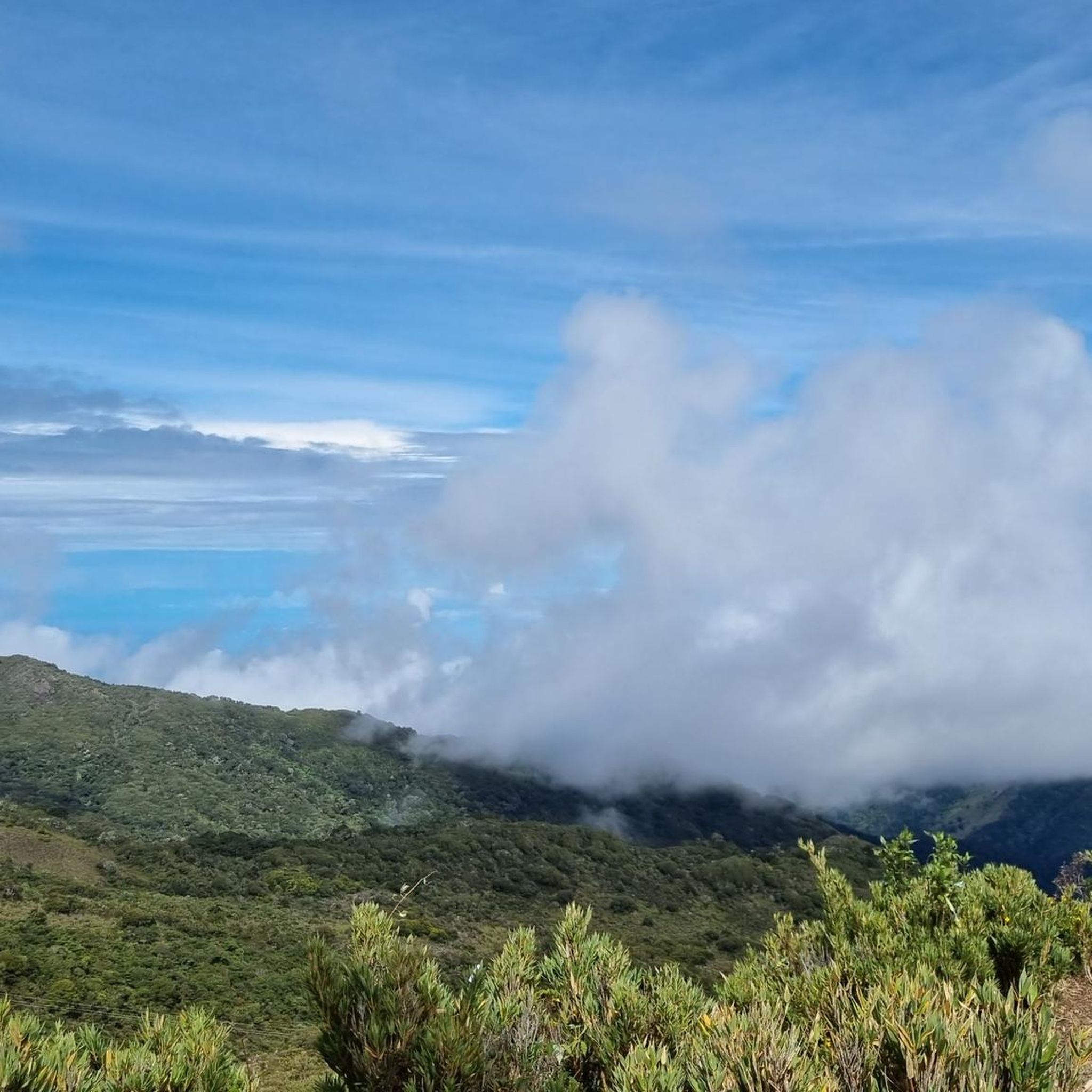
Hiking in Orosi offers diverse terrain through lush landscapes and significant natural features. The region is characterized by steep, verdant mountains, winding rivers like the Rio Grande de Orosi, and expansive coffee plantations. Hikers can explore tropical rainforests and cloud forests, notably within Tapantí National Park, and encounter numerous rivers and waterfalls. The Orosi Valley provides panoramic views from various lookout points, showcasing its rich biodiversity and varied ecosystems.
Best hiking trails in Orosi
- The most popular hiking route is…
Last updated: July 29, 2026
4.8
(21)
163
hikers
5.00km
01:52
240m
240m
Moderate hike. Great for any fitness level. Mostly accessible paths. Sure-footedness required.
4.7
(15)
83
hikers
6.23km
01:50
180m
180m
Easy hike. Great for any fitness level. Easily-accessible paths. Suitable for all skill levels.

Sign up for free
4.7
(12)
76
hikers
5.35km
01:55
290m
300m
Easy hike. Great for any fitness level. Easily-accessible paths. Suitable for all skill levels.
5.0
(3)
56
hikers
4.07km
01:45
240m
240m
Moderate hike. Great for any fitness level. Mostly accessible paths. Sure-footedness required.
5.0
(2)
27
hikers
5.06km
02:02
220m
230m
Moderate hike. Good fitness required. Mostly accessible paths. Sure-footedness required.
Get access to more routes and recommendations from other explorers.
Sign up for free
Already have an account?
Our route recommendations are based on thousands of hikes, rides, and runs completed by other people on komoot.
Start today with a free account
Your next adventure awaits.
Login or Signup

Tips from the Community

Toilets with panoramic views of the forest!
0
0

Ideal for a straightforward hike! Flat, easy to access, and smooth.
0
0

Hikes cloud forest hotel Savegre
0
0

Nice Hike, we did it as a family. The trail is starting to get a little bit abandoned, the waterfall is no longer visible (as of June 29, 2024) due to a collapse. Anyways, we enjoyed the beautiful forest.
0
0

Very difficult path, but worth it! Lots of dilapidated bridges and stairs. Sturdy shoes are definitely recommended. The path runs downstream on the right side (unlike what is shown on the Komoot map). Shortly before the waterfall there is another wild suspension bridge.
0
0
Beautiful waterfall in the Rio Savegre. Access via two dilapidated bridges is a bit adventurous.
0
0

Frequently Asked Questions
How many hiking trails are available in Orosi?
Orosi offers a diverse network of over 19 hiking routes, catering to various preferences and skill levels. These trails wind through lush rainforests, cloud forests, and scenic coffee plantations.
What kind of terrain can I expect on Orosi's hiking trails?
Hikers in Orosi can expect varied terrain, from paths through dense tropical rainforests and cloud forests to trails traversing coffee plantations and along river valleys. The region is characterized by steep, verdant mountains and numerous waterways, offering a rich and diverse landscape.
Are there hiking options for all skill levels in Orosi?
Yes, Orosi provides hiking options for various abilities. There are 6 easy routes perfect for a relaxed stroll, and 13 moderate trails for those seeking a bit more challenge. Currently, there are no difficult routes listed, making it accessible for most hikers.
What is the best time of year to go hiking in Orosi?
Orosi enjoys a 'near perfect' climate with warm days and cool evenings year-round, making it suitable for hiking at any time. However, the region receives significant rainfall, especially within areas like Tapantí National Park, which keeps the landscapes lush and waterfalls flowing. Consider visiting during drier periods for easier trail conditions, or embrace the wet season for vibrant greenery and powerful waterfalls.
Are there any trails that feature waterfalls in Orosi?
Yes, several trails in Orosi lead to or offer views of beautiful waterfalls. For instance, the Savegre River – Waterfall on the Río Savegre loop from San Gerardo is an easy path featuring river views and a waterfall. You can also find the San Gerardo de Dota Waterfall and a Waterfall in Reserva Forestal Los Santos nearby.
What natural landmarks or viewpoints can I see while hiking in Orosi?
Orosi is rich in natural landmarks and stunning viewpoints. The Mirador de Orosi offers panoramic vistas of the entire Orosi Valley, with its winding rivers and coffee farms. Within Tapantí National Park, you can explore areas like the Tree Ferns on Tapantí Rainforest Trail and the Río Orisí. The scenic Cachí Lake and the distant Irazú Volcano also contribute to the region's picturesque landscape.
What kind of wildlife might I encounter on the trails?
Orosi's lush ecosystems, especially within Tapantí National Park, are havens for diverse wildlife. Hikers often spot nearly 45 mammal species, including white-faced capuchin monkeys and the vibrant resplendent quetzal. You might also see toucans, exotic butterflies, and a variety of other bird species.
Are there any circular hiking routes in Orosi?
Yes, Orosi offers several excellent circular routes. A popular choice is the La Quebrada Cloud Forest Trail – Mirador SIWÕ' loop from Zapotal, which takes you through a cloud forest. Another option is the Fallen Trees Trail – Oropéndula Trail loop from Parque Nacional Tapantí, offering a loop through Tapantí National Park.
Are there family-friendly hiking trails in Orosi?
Absolutely. Orosi has several easy trails suitable for families. For example, the Savegre River – Waterfall on the Río Savegre loop from San Gerardo is an easy 3.9-mile path that features river views and a waterfall, making it an enjoyable outing for all ages. Many trails also offer informative signage for safe navigation.
What do other hikers enjoy the most about hiking in Orosi?
The hiking experience in Orosi is highly rated by the komoot community, with an average score of 4.9 stars from over 100 reviews. Hikers frequently praise the region's stunning natural beauty, the diversity of its ecosystems (from rainforests to coffee plantations), and the well-maintained trails that offer opportunities to spot local wildlife.
Is public transport available to reach hiking trailheads in Orosi?
While specific public transport routes to every trailhead can vary, Orosi town itself is accessible by bus. From there, local taxis or ride-sharing services might be needed to reach more remote trailheads, especially those within national parks or private reserves. It's advisable to check local transport schedules and options in advance.
Are there any permits required for hiking in Orosi?
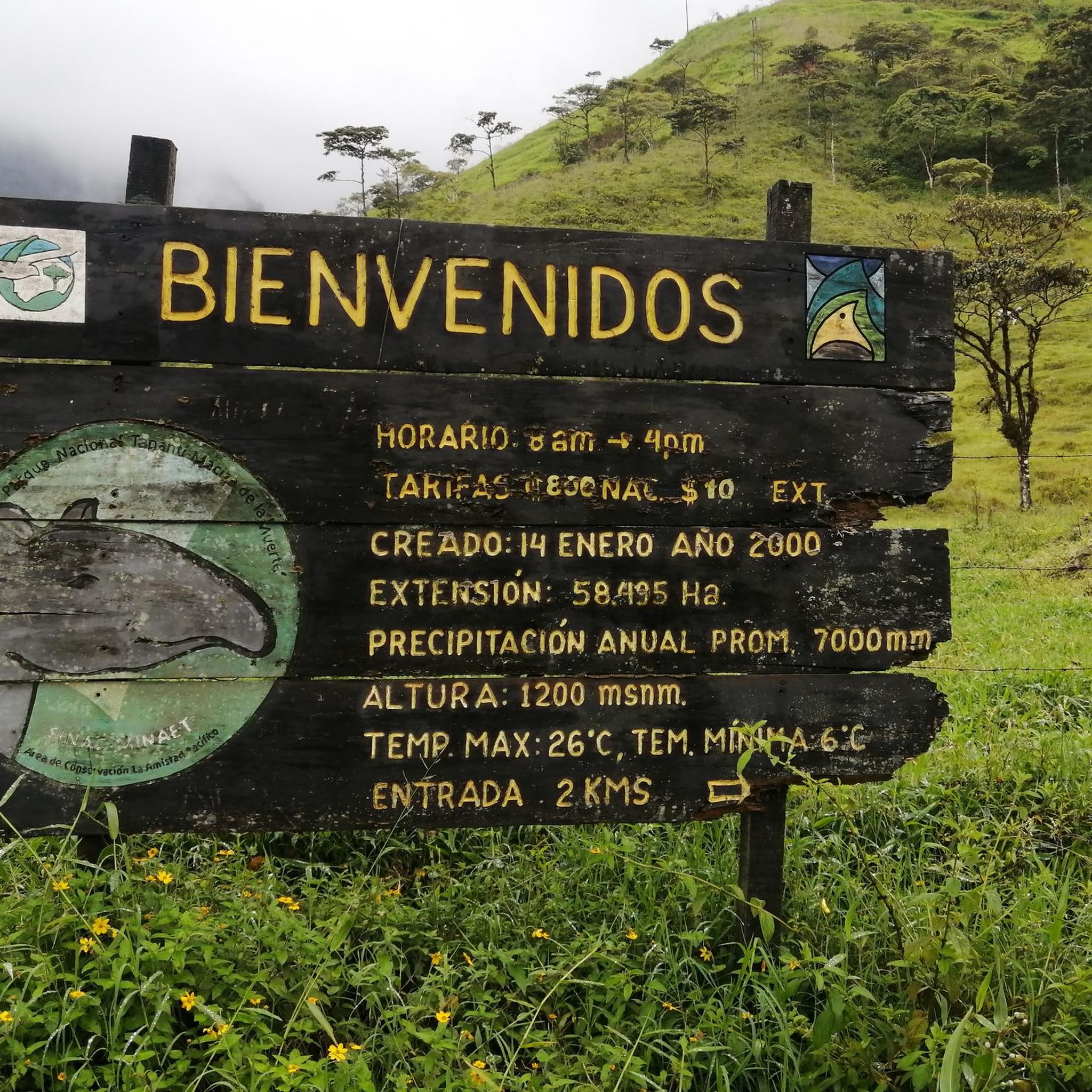
Hiking in protected areas like Tapantí National Park typically requires an entrance fee, which acts as a permit for access. It's recommended to check the official park websites or local visitor centers for the most current information on fees and any specific permit requirements before your visit.
What should I wear when hiking in Orosi?
Given Orosi's tropical climate and potential for rain, even in drier seasons, it's best to wear lightweight, breathable clothing that dries quickly. Sturdy, waterproof hiking shoes are highly recommended, especially for trails within rainforests where conditions can be muddy. Bringing a light rain jacket, insect repellent, and plenty of water is also advisable.
Most popular attractions in Orosi

Get inspired with the komoot mobile app


Explore more
Browse the best Hikes in other regions.
