The best road cycling routes in Garita
4.8
(13)
799
riders
24
rides
Road cycling routes in Garita traverse rugged mountain landscapes and expansive alpine tundras, shaped by millions of years of volcanic activity. The region features significant elevation changes, with paths winding through areas characterized by volcanic peaks and broad alpine terrain. Road cyclists can expect varied topography, including sections with red rock formations and views of the surrounding mountainous environment.
Best road cycling routes in Garita
- The most popular road cycling route is Poás Town Center – El Tambor loop from…
Last updated: August 12, 2026
5.0
(3)
141
riders
72.4km
03:42
1,210m
1,210m
Hard road ride. Very good fitness required. Mostly well-paved surfaces and easy to ride.
5.0
(1)
69
riders
85.7km
04:14
1,280m
1,280m
Hard road ride. Very good fitness required. Mostly well-paved surfaces and easy to ride.

Sign up for free
39
riders
66.3km
03:23
1,030m
1,030m
Hard road ride. Very good fitness required. Mostly well-paved surfaces and easy to ride.
5.0
(1)
24
riders
44.1km
02:15
740m
750m
Moderate road ride. Good fitness required. Mostly well-paved surfaces and easy to ride.
5.0
(2)
17
riders
36.2km
01:55
690m
690m
Moderate road ride. Good fitness required. Mostly well-paved surfaces and easy to ride.
Get access to more routes and recommendations from other explorers.
Sign up for free
Already have an account?
Our route recommendations are based on thousands of hikes, rides, and runs completed by other people on komoot.
Start today with a free account
Your next adventure awaits.
Login or Signup
Popular around Garita
Tips from the Community


Beautiful place, it's quite flat, excellent for a quiet outing or to get your cadence right.
0
0
Plenty of water or moisturizer as it is quite hot
0
0

excellent place
0
0

The church of Nuestra Señora de las Mercedes is a Catholic temple and parish in Costa Rica that is located in the city of Grecia, in the province of Alajuela, in the west of the country. It is a building built in the year 1840, dedicated for Catholic worship in that population, to the Virgin Mary under the invocation of Our Lady of Mercedes. It is a neo-Gothic style construction, built entirely of iron. It is the country's national monument.
1
0

It is a relatively easy route, the path is very flat and there is hardly any difference in level, very useful for a day of relaxation and a good walk
1
0

Frequently Asked Questions
How many road cycling routes are available in Garita?
Garita offers a diverse selection of over 20 road cycling routes. These routes traverse rugged mountain landscapes and expansive alpine tundras, providing varied terrain for cyclists.
What is the general difficulty level of road cycling routes in Garita?
The road cycling routes in Garita are predominantly challenging, with 12 routes rated as difficult and 11 as moderate. There is also one easy route available, ensuring options for various skill levels. The region is characterized by significant elevation changes and mountainous terrain.
Are there any long-distance road cycling routes for experienced riders?
Yes, experienced riders seeking longer distances and significant climbs will find several options. For instance, the Santa Ana Park Sports Complex loop from Mercedes is a difficult 85.9 km (53.4 miles) route with over 1280 meters of elevation gain. Another challenging option is the Poás Town Center – El Tambor loop from Garita, covering 74.5 km (46.3 miles) with over 1200 meters of ascent.
What kind of landscapes can I expect to see while road cycling in Garita?
Road cycling in Garita offers stunning views of rugged mountain landscapes, expansive alpine tundras, and unique geological formations shaped by volcanic activity. You'll encounter areas with red rock formations, volcanic peaks, and panoramic vistas of the surrounding mountainous environment, including distant views of the Sangre de Cristo Mountains and the Great Sand Dunes National Park from certain vantage points.
What do other road cyclists say about the routes in Garita?
The road cycling routes in Garita are highly regarded by the komoot community, holding an average rating of 4.75 stars from over 10 reviews. Cyclists often praise the challenging terrain, the breathtaking natural beauty, and the sense of accomplishment from tackling the significant elevation changes characteristic of the region.
Are there any moderate road cycling routes suitable for intermediate riders?
Absolutely. Intermediate riders can enjoy routes like the Poás Town Center – El Tambor loop from Carrillos, a moderate 45.3 km (28.1 miles) route with about 750 meters of elevation gain. Another good choice is The Sarchí River Bridge – Typical Foods loop from Carrillos, which is 36.2 km (22.5 miles) long with around 690 meters of ascent.
What are some notable natural attractions or landmarks near the road cycling routes?
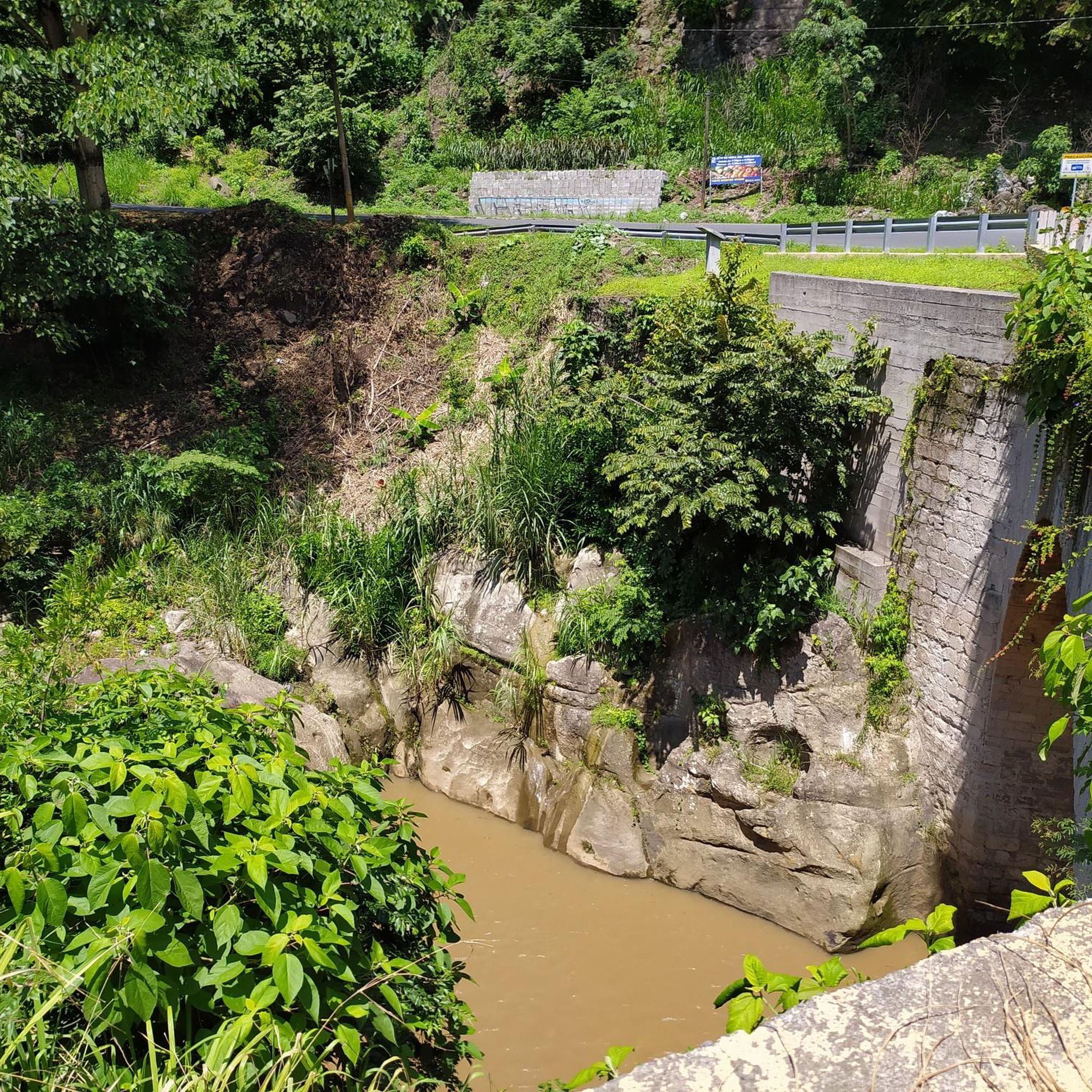
While cycling, you might encounter various natural and cultural landmarks. The region is known for its volcanic history, including the massive La Garita Caldera. You can also find unique geological formations like the Natural Arch (La Ventana Arch), a 40-foot-tall arch formed within a volcanic dike. Other points of interest include the Virilla River Canyon and the Picagres River.
Are there any cultural or historical sites to see along the way?
Yes, the region offers some cultural and historical points of interest. You could visit the Church of Our Lady of Mercy of Grecia, an architecturally significant religious building. The Natural Arch also holds cultural significance for the Jicarilla Apache and Ute tribes.
What is the best time of year for road cycling in Garita?
Given the rugged mountain landscapes and alpine tundras, the best time for road cycling in Garita is typically during the warmer months, from late spring through early autumn. This avoids the challenges of winter weather, which can bring snow and ice to higher elevations, making routes impassable or dangerous.
Are there any loop routes available for road cyclists?
Yes, many of the road cycling routes in Garita are designed as loops, offering a continuous journey back to your starting point. Examples include the challenging View of the Central Valley – The Second Wind loop from Garita and the moderate Poás Town Center – El Tambor loop from Carrillos.
What kind of wildlife might I encounter while cycling in the Garita region?
The broader La Garita Wilderness, which encompasses parts of the region, is known for its ecological diversity. Cyclists might have the chance to spot wildlife such as bighorn sheep, elk, and black bears, particularly in less populated or more remote sections of the routes. Always maintain a safe distance and respect their natural habitat.
Are there any parks or recreational facilities near the cycling routes?
Yes, you can find recreational areas such as Turrúcares Park, which may offer amenities or serve as a starting point for some routes. The Penitente Canyon, while primarily known for climbing, also features multi-use trails that connect to the broader cycling landscape.
Most popular attractions in Garita

Get inspired with the komoot mobile app


Explore more
Browse the best Road cycling routes in other regions.
