The best MTB trails around Betzenstein
4.6
(193)
702
riders
99
rides
Mountain biking around Betzenstein offers diverse landscapes within Franconian Switzerland, characterized by its unique karst topography, featuring rock formations, valleys, and dense forests. The region provides varied terrain for mountain bikers, from easily rideable flow trails to challenging singletrails with uphill and downhill sections. This area is known for its natural features like the Großer Wasserstein and the Wassersteintor, which create interesting routes.
Best mountain bike trails around Betzenstein
- The most popular mountain bike trail is The Forest Tunnel –…
Last updated: October 1, 2026
4.3
(19)
47
riders
27.0km
02:18
420m
420m
Moderate mountain bike ride. Good fitness required. Advanced riding skills necessary.
4.9
(7)
34
riders
60.0km
05:15
1,190m
1,190m
Hard mountain bike ride. Very good fitness required. Advanced riding skills necessary.

4.1
(11)
41
riders
31.0km
02:30
330m
330m
Hard mountain bike ride. Good fitness required. Advanced riding skills necessary. Some portions of the route may require you to push your bike.
4.9
(15)
61
riders
51.4km
03:40
460m
460m
Moderate mountain bike ride. Good fitness required. Advanced riding skills necessary.
3.5
(6)
33
riders
28.6km
02:43
600m
600m
Hard mountain bike ride. Good fitness required. Advanced riding skills necessary. Some portions of the route may require you to push your bike.
Get access to more routes and recommendations from other explorers.
Already have an account?
Our route recommendations are based on thousands of hikes, rides, and runs completed by other people on komoot.
Start today with a free account
Your next adventure awaits.
Popular around Betzenstein
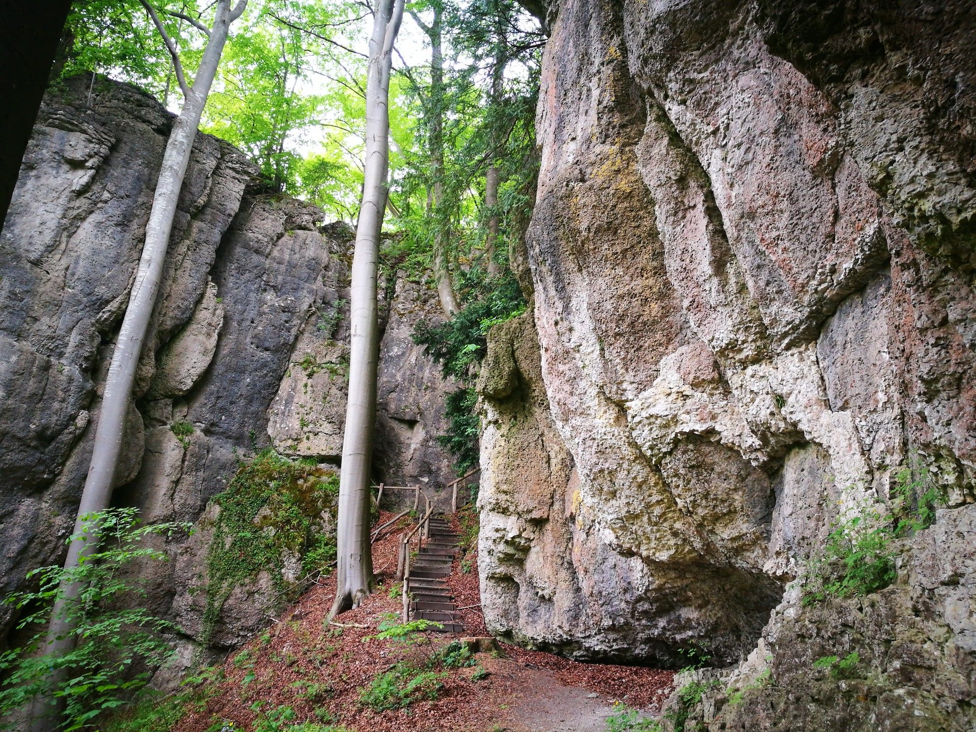
Forests, rocks and castles – 5-day circular through Franconian Switzerland
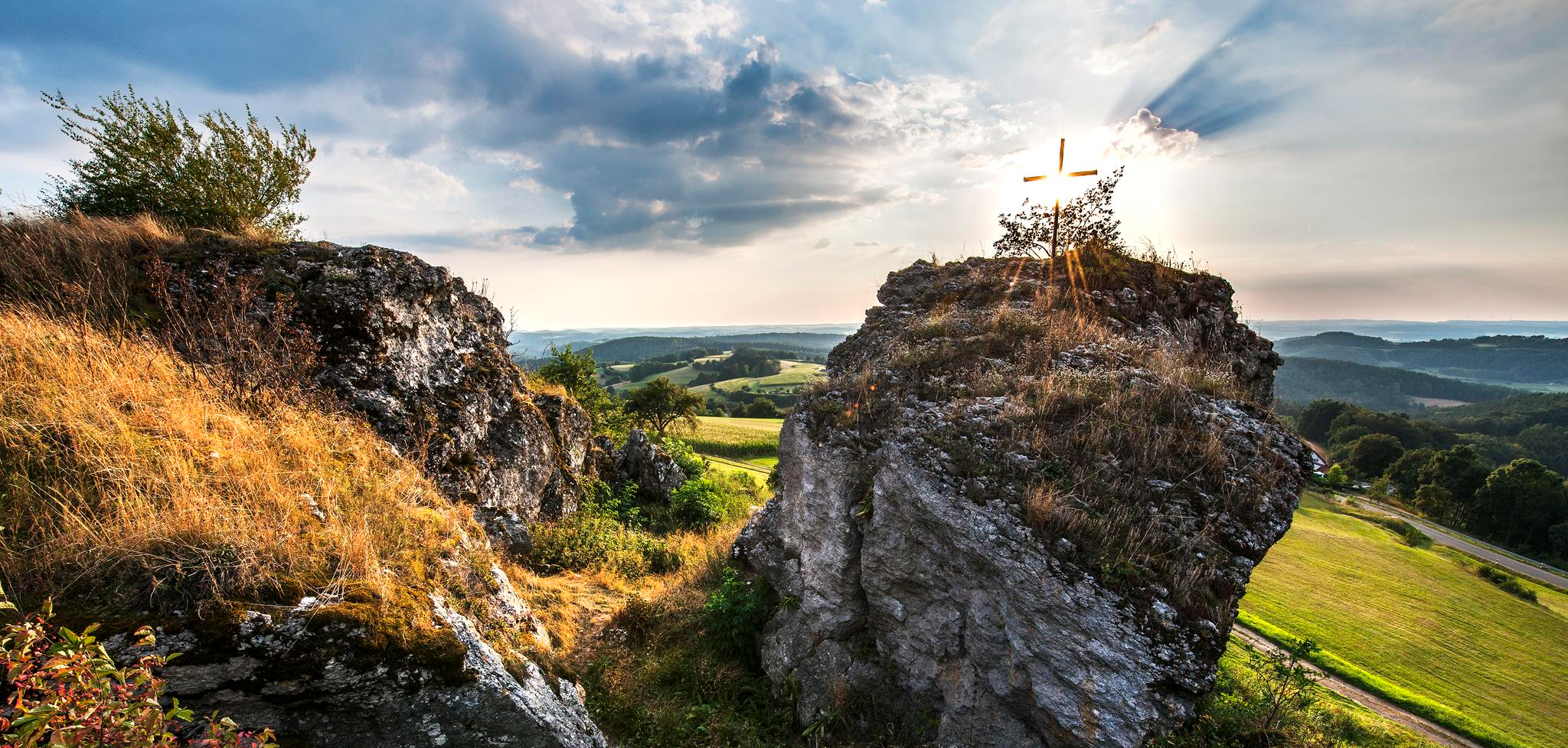
Lieblingswanderungen in der Fränkischen Schweiz
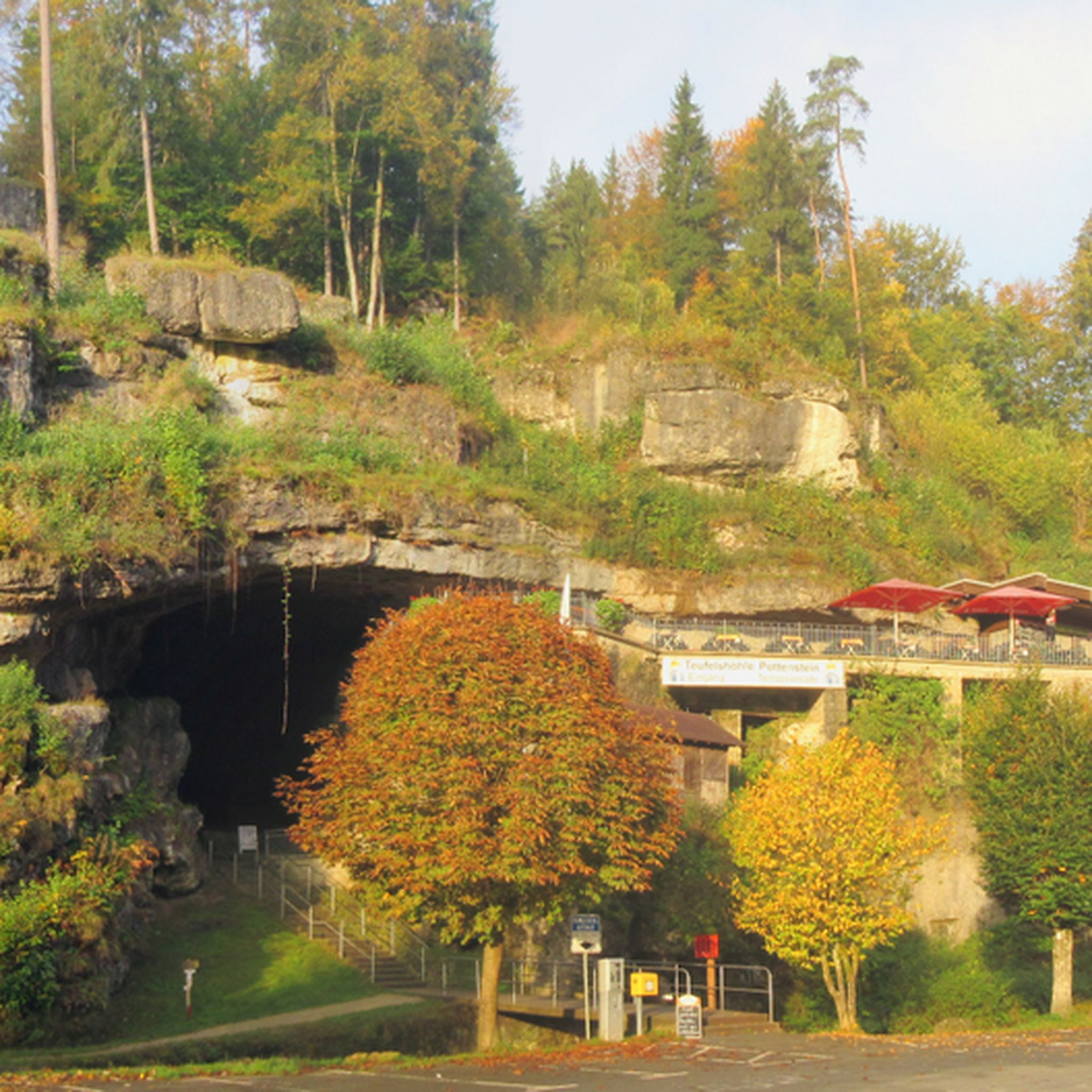
Hiking around Betzenstein
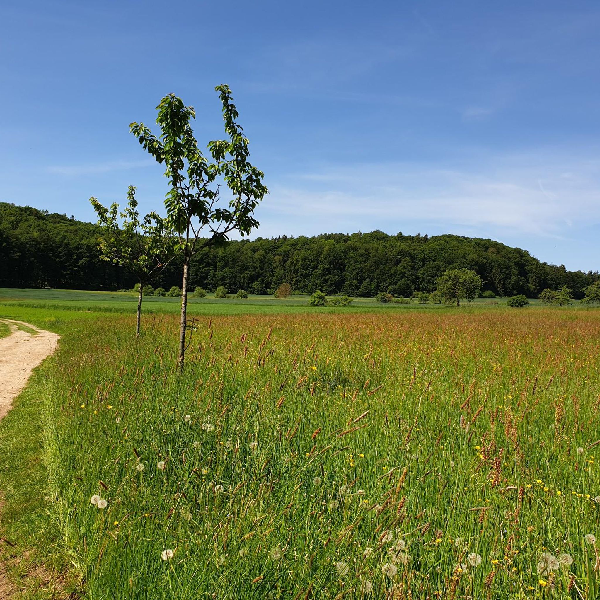
Cycling around Betzenstein
Road Cycling Routes around Betzenstein
Running Trails around Betzenstein

Gravel biking around Betzenstein
Mountain Hikes around Betzenstein


Tips from the Community

This is not a tunnel, but a hollow way!
0
0

The Leienfels castle ruins are located on the 590-meter-high Schlossberg directly above the village of Leienfels. Extensive ruins of the medieval complex have survived to this day. The castle, whose name is likely derived from "Löwenfels" (Lion Rock), is one of the later castles in the Franconian Switzerland region and was probably built in the early 14th century. The castle was severely damaged during the Peasants' War and the Margrave War. From 1646 onwards, the remaining buildings were used as a source of material, and the complex was left to decay. The entire castle complex has the shape of a triangle; a section of approximately 30 meters of the surrounding wall with a cannon slit has been preserved between the former castle gate and the northern edge of the height. The masonry was partially renovated in 2005/06.
3
0

beautiful view of the castle, beautiful differently in every light
0
0

Burg Egloffstein is a former high medieval noble castle immediately west of the eponymous town of Egloffstein in the Forchheim district of Upper Franconia, Bavaria.
0
0

Very striking, unusual rock formation
0
0

Beautiful trail, somewhat exposed with rough roots and some larger stones.
0
0

Located directly on the road, goat enclosure where you can also feed, you have to be patient to see
0
0

A very nice hike with beautiful views of Pottenstein and rock formations. Hiking boots are essential. The rocks and tree roots in the forest are very slippery.
0
0
Frequently Asked Questions
How many mountain bike trails are available around Betzenstein?
Betzenstein offers a wide variety of mountain bike trails, with over 110 routes available. These range from easy paths suitable for beginners to challenging trails for experienced riders, ensuring there's something for every skill level.
Are there mountain bike trails suitable for beginners in Betzenstein?
Yes, Betzenstein has several options for beginners. There are 8 easy mountain bike trails, many of which are easily rideable flow trails that allow you to enjoy the scenic Franconian Switzerland landscape without excessive technical demands.
What options are there for experienced mountain bikers seeking a challenge?
For experienced mountain bikers, Betzenstein offers 19 difficult trails. These routes often feature challenging singletrails with significant uphill and downhill sections. A notable challenging route is the View of Egloffstein Castle – Druids' Grove loop from Stierberg, which covers nearly 60 km with over 1100 meters of elevation gain.
What kind of natural features and scenic views can I expect on the mountain bike trails?
The trails around Betzenstein wind through the unique karst landscape of Franconian Switzerland, featuring impressive rock formations, dense forests, and picturesque valleys. You can encounter natural highlights such as the Lillach Tufa Terraces and the Großer Wasserstein with its striking Wassersteintor rock gate. Many routes also offer rewarding panoramic views, like those from the Himmelsleiter Observation Tower in Pottenstein.
Are there many circular mountain bike routes around Betzenstein?
Yes, many of the mountain bike routes in Betzenstein are circular, allowing you to start and end your ride at the same point. For example, the popular The Forest Tunnel – Wasserstein Gate loop from Betzenstein is a moderate 27 km circular trail that takes you through forested areas and past notable rock formations.
Can I find mountain bike trails that are around 3 hours long?
Absolutely. Many moderate trails around Betzenstein can be completed within approximately 3 hours, depending on your pace. The Pegnitz Riverside Trail – Paul-Pfinzing Trail loop from Spies is a 51 km route often completed in about 3 hours 37 minutes, offering a scenic ride through river valleys and woodlands.
What do other mountain bikers enjoy the most about mountain biking in Betzenstein?
The mountain biking experience in Betzenstein is highly rated by the komoot community, with an average score of 4.6 stars from over 170 reviews. Riders frequently praise the diverse landscapes, the unique karst topography with its rock formations, and the extensive network of trails that cater to various ability levels.
Are there any viewpoints or landmarks to visit along the mountain bike routes?
Yes, the region is rich in viewpoints and natural landmarks. Besides the Himmelsleiter Observation Tower, you can explore areas like the Großer Wasserstein, which features the impressive Wassersteintor rock gate, or the Hexentor, a natural rock breakthrough. Many routes also pass by historical sites such as Pottenstein Castle.
Are there mountain bike trails that offer cafe stops or places to rest?
While specific cafe stops are not always directly on every trail, the region around Betzenstein has villages and towns where you can find refreshments. Planning your route to pass through places like Pottenstein or Betzenstein itself will provide opportunities for breaks and meals. The area's popularity with outdoor enthusiasts means amenities are generally accessible.
What is the best time of year for mountain biking in Betzenstein?
The spring, summer, and autumn months generally offer the best conditions for mountain biking in Betzenstein. During these seasons, the weather is typically mild, and the trails are dry and well-maintained. The vibrant foliage in autumn also adds to the scenic beauty of the rides.
Are there any trails that pass by lakes or water features?
Yes, some routes may lead you near the region's water features. For example, you might encounter the Lillach Spring, known for its sinter terraces, or pass by various ponds and small lakes like the Ponds at the former Klumpermühle, which are part of the scenic landscape.
Are there any mountain bike trails that offer extensive views?
Many trails in Betzenstein provide extensive views, especially those that climb to higher elevations or pass through open areas. The Silberecke Viewpoint – Bitzenberg Viewpoint (586 m) loop from Stierberg is a difficult route specifically designed to take you to prominent viewpoints, offering rewarding vistas of the Franconian Switzerland landscape.
Most popular routes around Betzenstein
Most popular attractions around Betzenstein

Get inspired with the komoot mobile app


Explore more
Browse the best MTB trails in other regions.
