The best cycling routes in Motavita
4.7
(121)
904
riders
86
rides
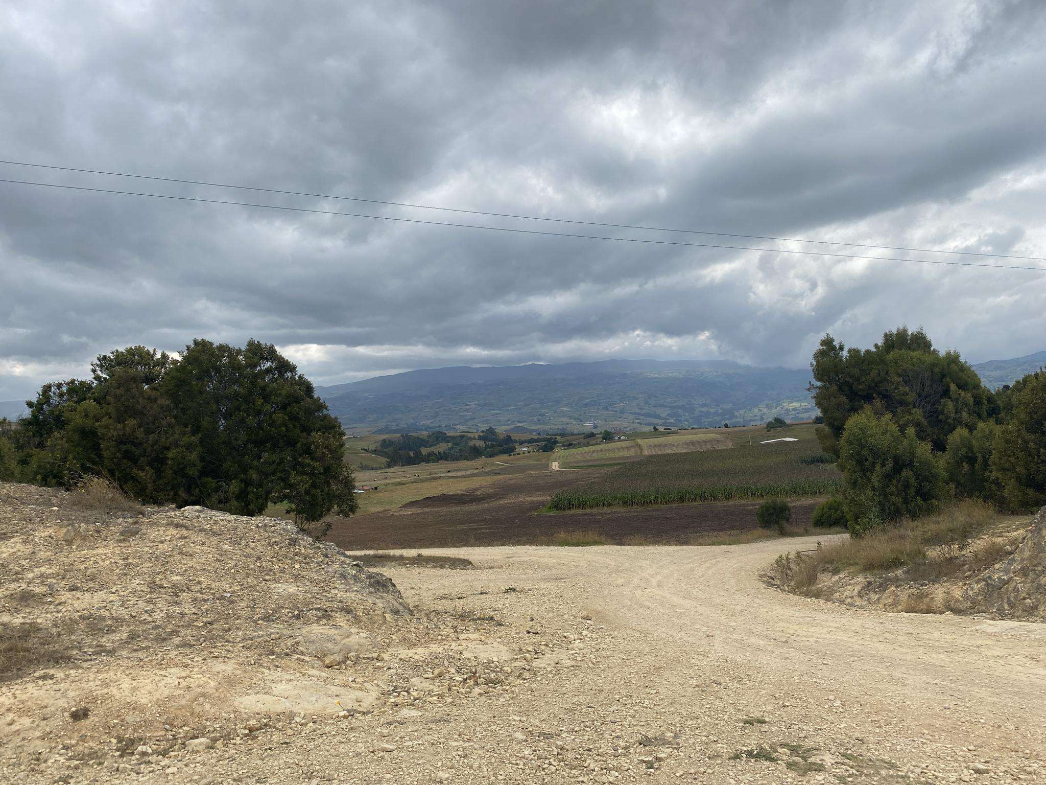
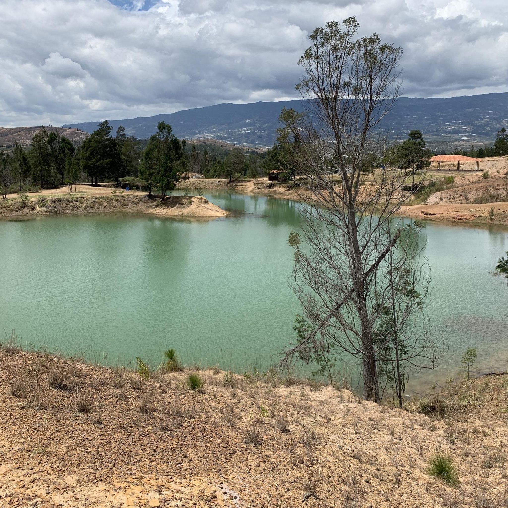
Touring cycling in Motavita offers routes through elevated Andean landscapes in the Colombian Department of Boyacá. The region is characterized by its high-altitude environment, with elevations ranging from approximately 2,690 to 2,906 meters (8,825 to 9,534 feet) above sea level. Cyclists encounter challenging terrain with significant elevation changes and views of the mountainous scenery. The area also features green agricultural fields, providing a scenic backdrop for rides.
Best touring cycling routes in Motavita
- The most popular touring cycling route is…
Last updated: July 28, 2026
4.8
(5)
30
riders
41.3km
03:17
920m
920m
Hard bike ride. Very good fitness required. Mostly paved surfaces. Suitable for all skill levels.
4.8
(5)
25
riders
57.2km
03:57
970m
970m
Hard bike ride. Very good fitness required. Mostly paved surfaces. Suitable for all skill levels.

Sign up for free
5.0
(2)
23
riders
69.8km
05:16
1,640m
1,640m
Hard bike ride. Very good fitness required. Mostly paved surfaces. Suitable for all skill levels.
5.0
(3)
22
riders
38.0km
03:05
920m
920m
Hard bike ride. Very good fitness required. Mostly paved surfaces. Suitable for all skill levels.
5.0
(1)
22
riders
49.6km
04:05
1,270m
1,270m
Hard bike ride. Very good fitness required. Mostly paved surfaces. Suitable for all skill levels.
Get access to more routes and recommendations from other explorers.
Sign up for free
Already have an account?
Our route recommendations are based on thousands of hikes, rides, and runs completed by other people on komoot.
Start today with a free account
Your next adventure awaits.
Login or Signup


Tips from the Community

Frequently Asked Questions
How many touring cycling routes are available in Motavita?
Motavita offers a wide selection of touring cycling routes, with over 90 options available on komoot. These routes navigate the elevated Andean landscapes, providing diverse experiences for cyclists.
What is the general difficulty level of touring cycling routes in Motavita?
The majority of touring cycling routes in Motavita are considered difficult, with 70 routes falling into this category. There are also 18 moderate routes and 3 easier options, catering to a range of experience levels, though the region is best suited for those comfortable with significant elevation changes.
What kind of terrain can I expect on touring cycling routes in Motavita?
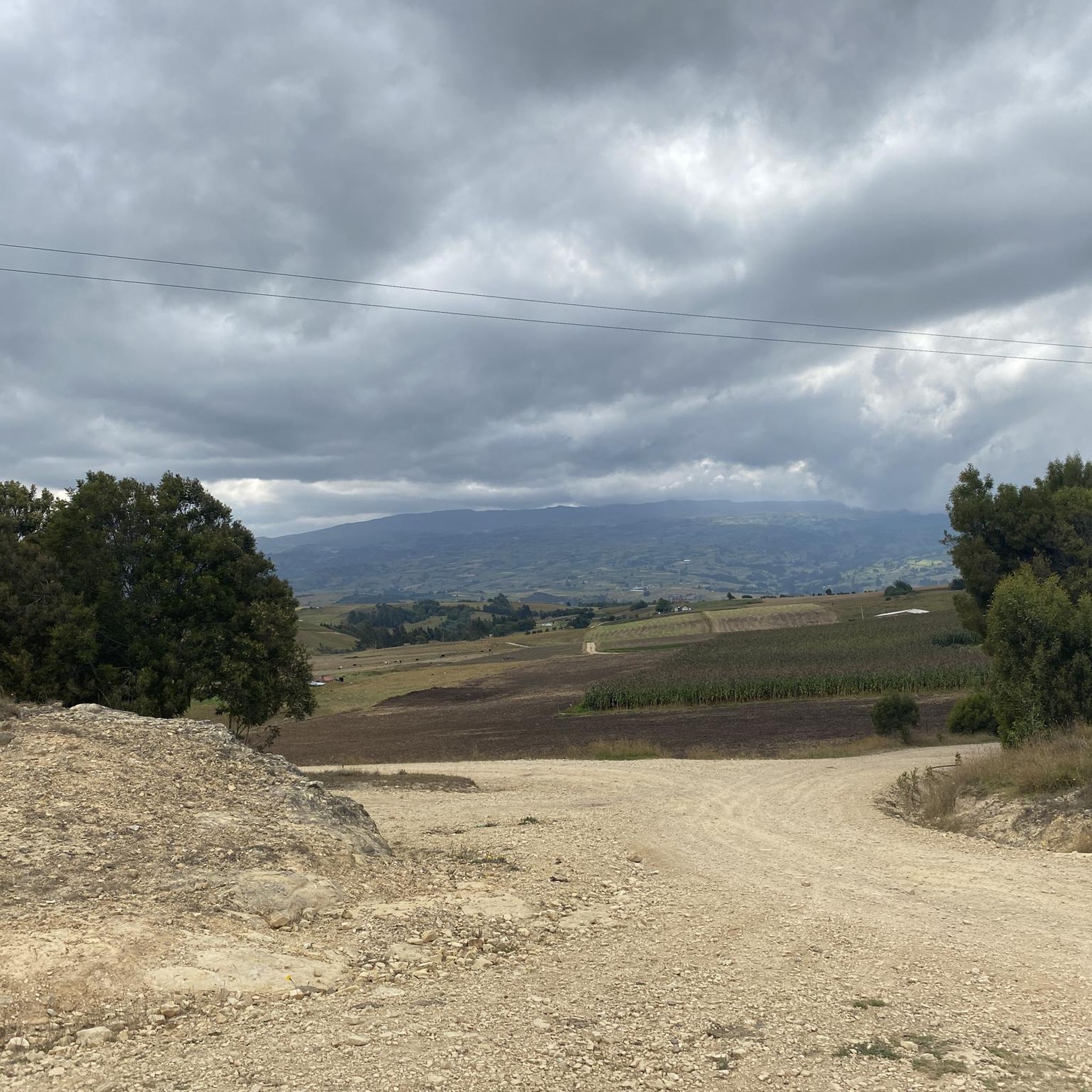
Touring cycling in Motavita is characterized by its Andean topography, featuring challenging climbs and descents. You'll encounter high-altitude environments, with elevations ranging from approximately 2,690 to 2,906 meters (8,825 to 9,534 feet) above sea level. The routes often pass through picturesque green agricultural fields, offering scenic views of the mountainous landscape.
Are there any circular touring cycling routes in Motavita?
Yes, many of the touring cycling routes in Motavita are designed as loops, allowing you to start and finish at the same point. For example, the Work – San Lázaro Church loop from La Colorada is a popular circular route covering 25.7 miles (41.3 km).
What do other touring cyclists enjoy most about cycling in Motavita?
The touring cycling routes in Motavita are highly rated by the komoot community, with an average score of 4.7 stars from over 100 reviews. Cyclists often praise the challenging Andean topography, the rewarding climbs, and the stunning views of the green agricultural fields and mountainous scenery.
Are there any touring cycling routes that offer impressive viewpoints?
Motavita's elevated position in the Andes naturally provides numerous opportunities for impressive views. The region is known for its 'miradores con vistas impresionantes' (viewpoints with impressive views). Routes like the Work loop from Tunja navigate high-altitude environments, ensuring panoramic vistas of the surrounding landscapes.
What are some longer touring cycling routes in the Motavita area?
For those seeking longer rides, Motavita offers several extensive touring cycling routes. The Work – Boyacá loop from Tunja is a substantial 43.0 miles (69.3 km) trail, typically completed in about 5 hours 17 minutes, leading through elevated landscapes.
What is the best time of year for touring cycling in Motavita?
Given Motavita's high-altitude Andean climate, conditions can vary. While specific seasonal recommendations aren't provided, the region's 'green fields' suggest a lush period. It's always advisable to check local weather conditions before planning your ride, especially considering the significant elevation changes.
Are there any historical or cultural landmarks near the touring cycling routes?
While Motavita itself has a rich Muisca indigenous and colonial heritage, the broader Boyacá department offers significant historical sites. The Puente de Boyacá (Boyacá Bridge), a pivotal site in Colombia's independence, is a notable landmark in the vicinity that could be incorporated into longer tours. The Boyacá loop from Tunja offers a route that explores the wider area.
Are there any easier touring cycling routes for beginners in Motavita?
While the majority of routes in Motavita are challenging, there are a few easier options available. Out of 91 routes, 3 are classified as easy and 18 as moderate. These provide a less demanding introduction to the region's elevated terrain, though some climbing should still be expected.
What is the typical duration for touring cycling routes in Motavita?
The duration of touring cycling routes in Motavita varies depending on the distance and difficulty. For instance, the Boyacá – Work loop from Tunja, a difficult 23.7 miles (38.1 km) route, typically takes around 3 hours 5 minutes to complete, reflecting the challenging terrain and elevation gains.
Most popular attractions in Motavita

Get inspired with the komoot mobile app


Explore more
Browse the best Cycling routes in other regions.
