The best road cycling routes in Santa Rosa De Osos
5.0
(8)
247
riders
8
rides
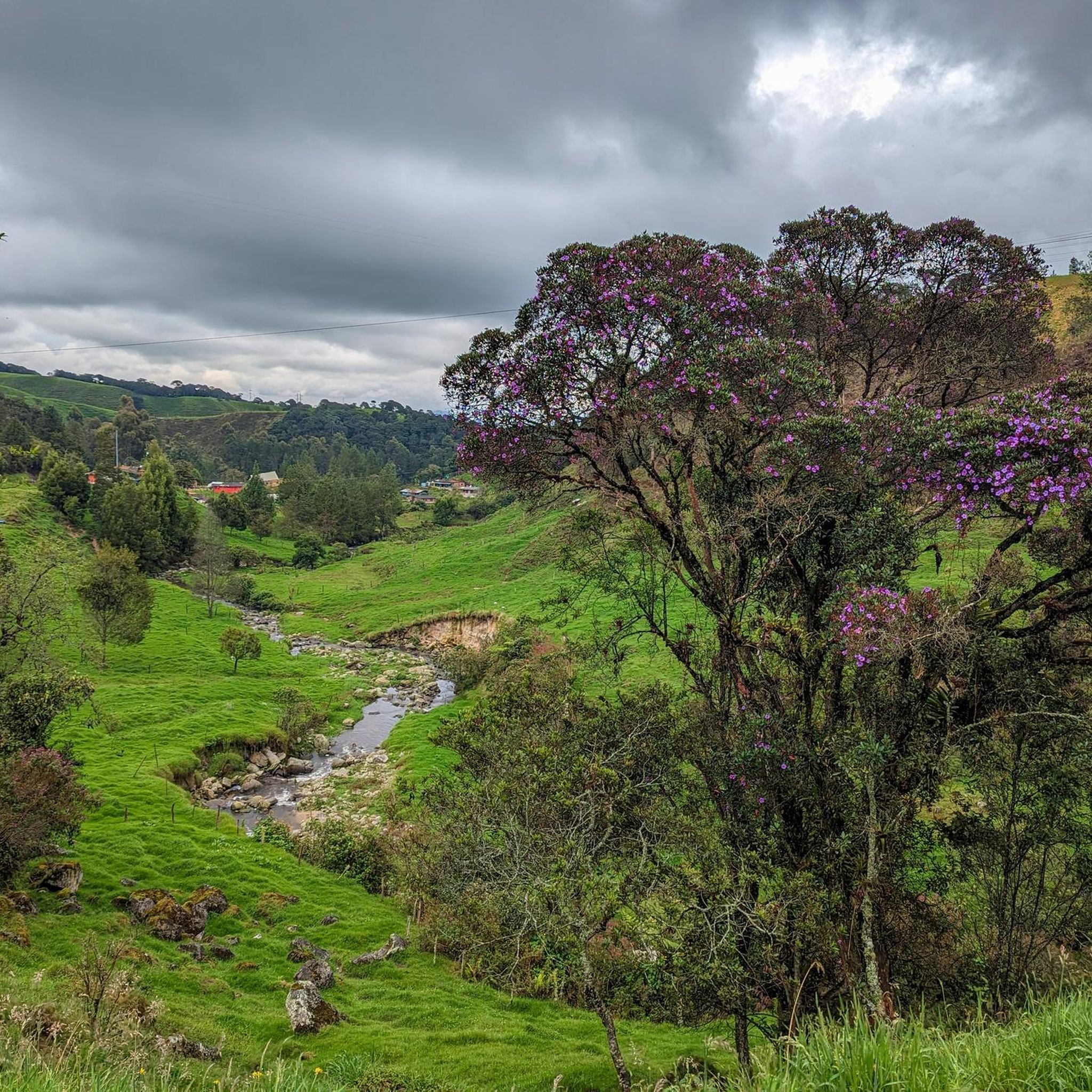
Road cycling routes in Santa Rosa De Osos are characterized by mountainous and hilly terrain, situated at an average altitude of 2,550 meters above sea level. The region features rolling hills, coffee and dairy farms, and a complex hydrological system with rivers like the Grande and Guadalupe. This high-altitude environment provides challenging uphill routes for road cyclists.
Best road cycling routes in Santa Rosa De Osos
- The most popular road cycling route is Palenque Waterfall – Alto de Ancón loop…
Last updated: July 28, 2026
5.0
(3)
69
riders
113km
06:30
2,590m
2,590m
Hard road ride. Very good fitness required. Mostly well-paved surfaces and easy to ride.
5.0
(3)
66
riders
114km
06:12
2,190m
2,190m
Hard road ride. Very good fitness required. Mostly well-paved surfaces and easy to ride.

Sign up for free
13
riders
101km
05:13
1,820m
1,820m
Hard road ride. Very good fitness required. Mostly well-paved surfaces and easy to ride.
6
riders
67.2km
03:38
1,340m
1,340m
Hard road ride. Very good fitness required. Mostly well-paved surfaces and easy to ride.
6
riders
68.4km
03:42
1,380m
1,370m
Hard road ride. Very good fitness required. Mostly well-paved surfaces and easy to ride.
Get access to more routes and recommendations from other explorers.
Sign up for free
Already have an account?
Our route recommendations are based on thousands of hikes, rides, and runs completed by other people on komoot.
Start today with a free account
Your next adventure awaits.
Login or Signup
Popular around Santa Rosa De Osos
Tips from the Community


Visit these landscapes
0
0
Frequently Asked Questions
What kind of terrain can I expect on road cycling routes in Santa Rosa de Osos?
Road cycling in Santa Rosa de Osos is characterized by mountainous and hilly terrain, with routes situated at an average altitude of 2,550 meters above sea level. You'll encounter rolling hills, coffee and dairy farms, and a complex hydrological system with rivers like the Grande and Guadalupe, providing challenging uphill sections and scenic vistas.
Are there challenging road cycling routes in Santa Rosa de Osos?
Yes, the region primarily offers challenging routes suitable for experienced road cyclists. The high altitude and mountainous terrain mean significant elevation gains are common. For example, the Palenque Waterfall – Alto de Ancón loop from Santa Rosa de Osos features over 2,900 meters of elevation gain over 154 km.
What is the typical length and duration of road cycling routes in this area?
Routes vary in length, but many are designed for longer rides. For instance, the La Quiebra Tunnel – Gómez Plata loop from Gómez Plata is 113.6 km and typically takes around 6 hours 36 minutes. Shorter, yet still challenging, options like the Palenque Waterfall loop from Donmatías cover about 67 km.
What are some scenic highlights or landmarks I might encounter on a road cycling tour?
The routes often pass through picturesque landscapes featuring coffee and dairy farms. You can also expect to see natural features like waterfalls, as suggested by routes such as the Waterfall loop from Barrio Porfirio Barba Jacob. The region's rich hydrological system with rivers like the Grande and Guadalupe also contributes to the scenic beauty.
What is the best time of year to go road cycling in Santa Rosa de Osos?
The high altitude of Santa Rosa de Osos (averaging 2,550 meters) contributes to a cool, temperate climate year-round. This makes it more comfortable for strenuous activities like road cycling compared to hotter lowland regions. While specific seasonal recommendations aren't provided, the consistent cool climate generally offers good conditions for cycling.
Are there any family-friendly or easy road cycling routes available?
The road cycling network in Santa Rosa de Osos is primarily defined by mountainous terrain and high-altitude climbs, offering challenging routes. Currently, there are no routes classified as 'easy' or 'moderate' in the guide, indicating that most routes are geared towards experienced cyclists seeking a demanding ride.
Can I find loop routes for road cycling in Santa Rosa de Osos?
Yes, many of the popular road cycling routes in the area are loops. Examples include the extensive Palenque Waterfall – Alto de Ancón loop from Santa Rosa de Osos and the Palenque Waterfall loop from Santa Rosa de Osos, which allow you to start and finish in the same location.
What do other road cyclists say about the routes in Santa Rosa de Osos?
The road cycling routes in Santa Rosa de Osos are highly rated by the komoot community, with an average score of 5.0 stars from more than 9 reviews. Over 390 road cyclists have used komoot to explore the varied and challenging terrain, often praising the demanding climbs and scenic landscapes.
Are there any specific natural areas or ecological projects worth noting near the cycling routes?
Yes, the region is home to significant ecological efforts. A notable restoration project in the Guanacas area is transforming former cattle pastures into an Andean cloud forest, fostering rich biodiversity. This area serves as a crucial water producer and biological reserve in the Andes mountain range, contributing to the natural beauty you might experience.
How many road cycling routes are featured in the Santa Rosa de Osos guide?
The guide features 5 distinct road cycling routes in Santa Rosa de Osos, all of which are classified as difficult due to the region's mountainous and high-altitude characteristics.
Is public transport or parking available near the starting points of road cycling routes?
While the guide focuses on the routes themselves, Santa Rosa de Osos is a city in Antioquia, Colombia. For specific information on public transport options to reach starting points or available parking facilities, it is advisable to consult local municipal resources or transport providers in Santa Rosa de Osos.
Are there any specific permits required for road cycling in the Santa Rosa de Osos region?
There is no information indicating that special permits are required for road cycling on the routes described in Santa Rosa de Osos. However, it's always good practice to respect local regulations and private property.
Most popular routes in Santa Rosa De Osos

Get inspired with the komoot mobile app


Explore more
Browse the best Road cycling routes in other regions.
