The best road cycling routes around Hauptsmoor
4.6
(2123)
22,208
riders
625
rides
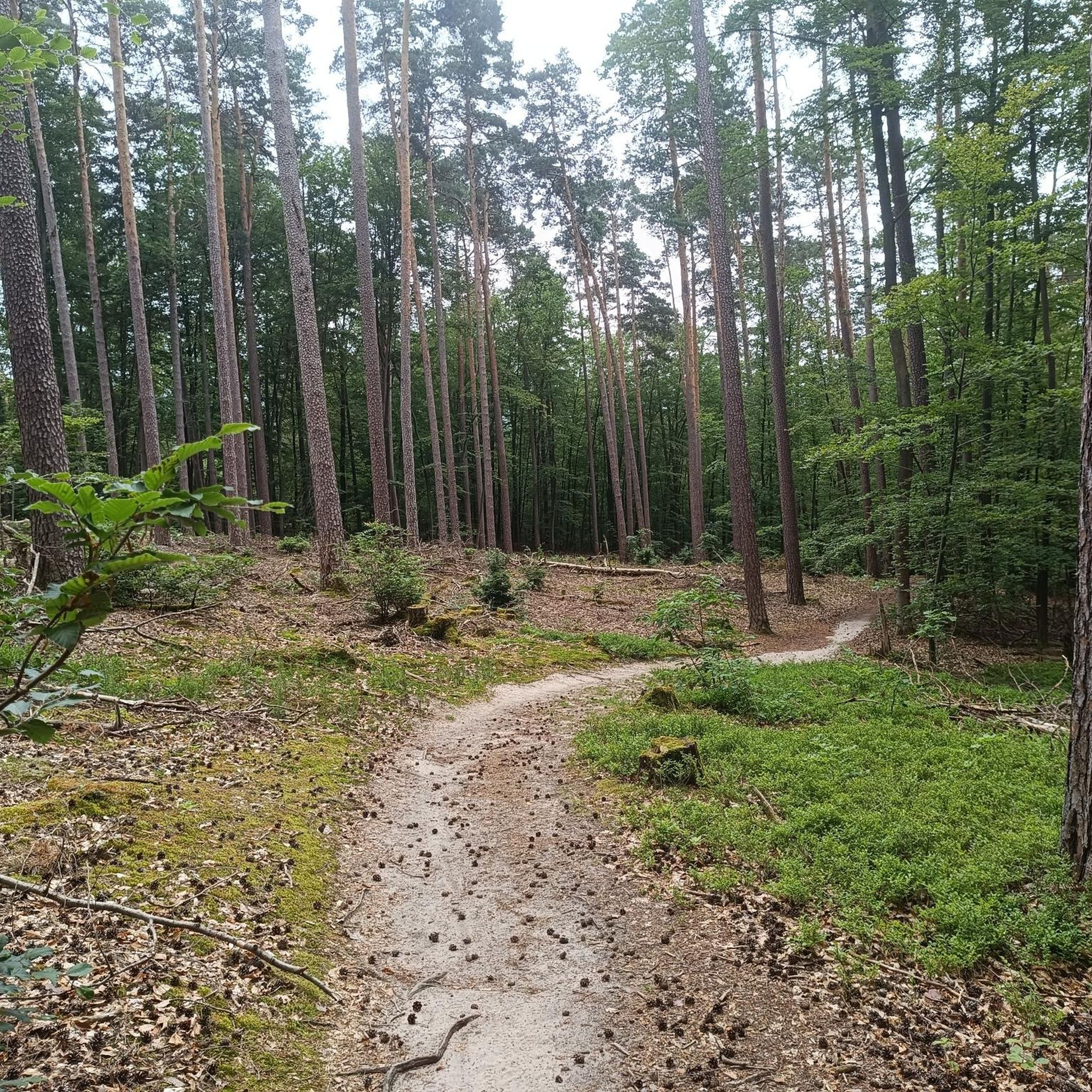
Road cycling routes around Hauptsmoor offer diverse terrain, from shaded forest paths to routes along canals and rivers. The region, situated near Bamberg, features the Hauptsmoorwald, providing tree-lined sections ideal for road biking. Cyclists can find varied height profiles, ranging from flat sections along waterways to gently rolling hills, often utilizing side roads with minimal motor traffic. This area provides a serene environment for road cyclists seeking both natural landscapes and connections to regional attractions.
Best road cycling routes around…
Last updated: October 1, 2026
4.3
(30)
263
riders
Moderate road ride. Good fitness required. Some segments of this route may be unpaved and difficult to ride.
4.4
(7)
170
riders
Moderate road ride. Good fitness required. Mostly well-paved surfaces and easy to ride.

4.3
(4)
44
riders
44.0km
01:49
230m
230m
Easy road ride. Great for any fitness level. Mostly well-paved surfaces and easy to ride.
28
riders
Moderate road ride. Good fitness required. Mostly well-paved surfaces and easy to ride.
5.0
(3)
31
riders
Easy road ride. Great for any fitness level. Mostly well-paved surfaces and easy to ride.
Get access to more routes and recommendations from other explorers.
Already have an account?
Our route recommendations are based on thousands of hikes, rides, and runs completed by other people on komoot.
Start today with a free account
Your next adventure awaits.
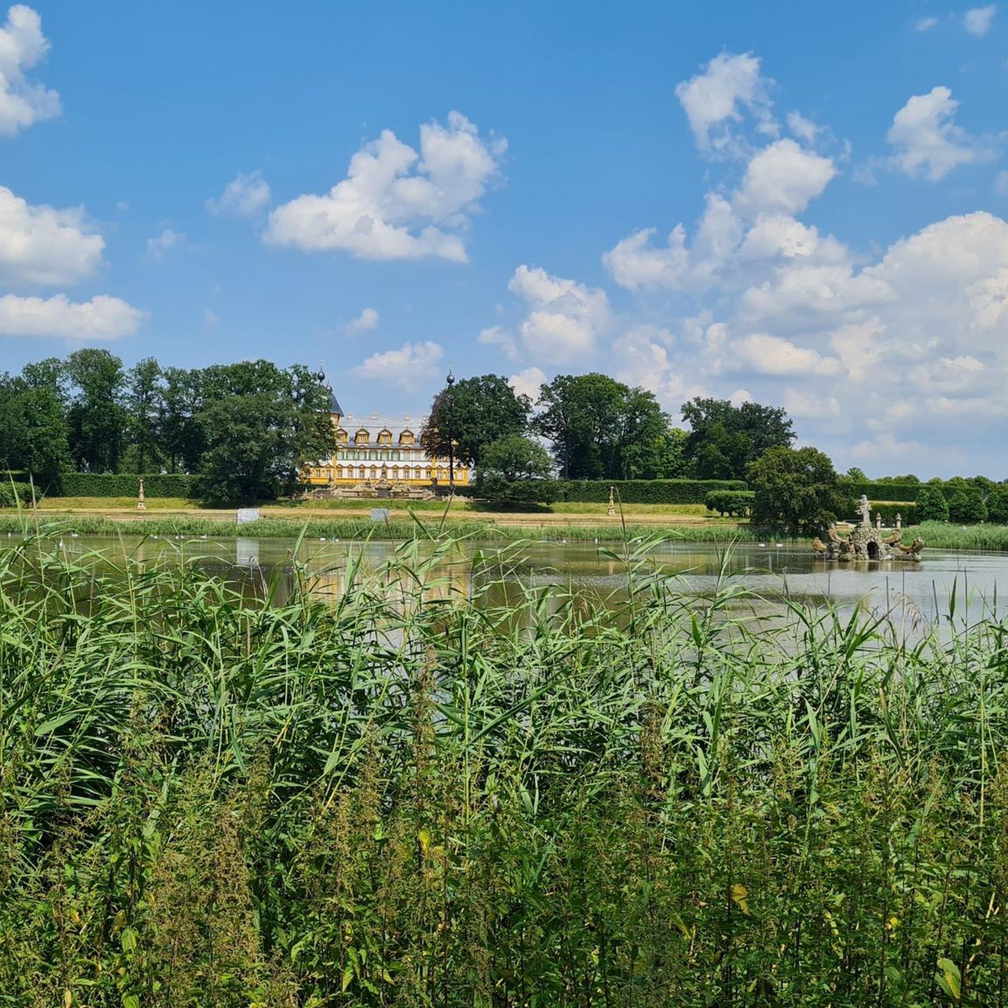
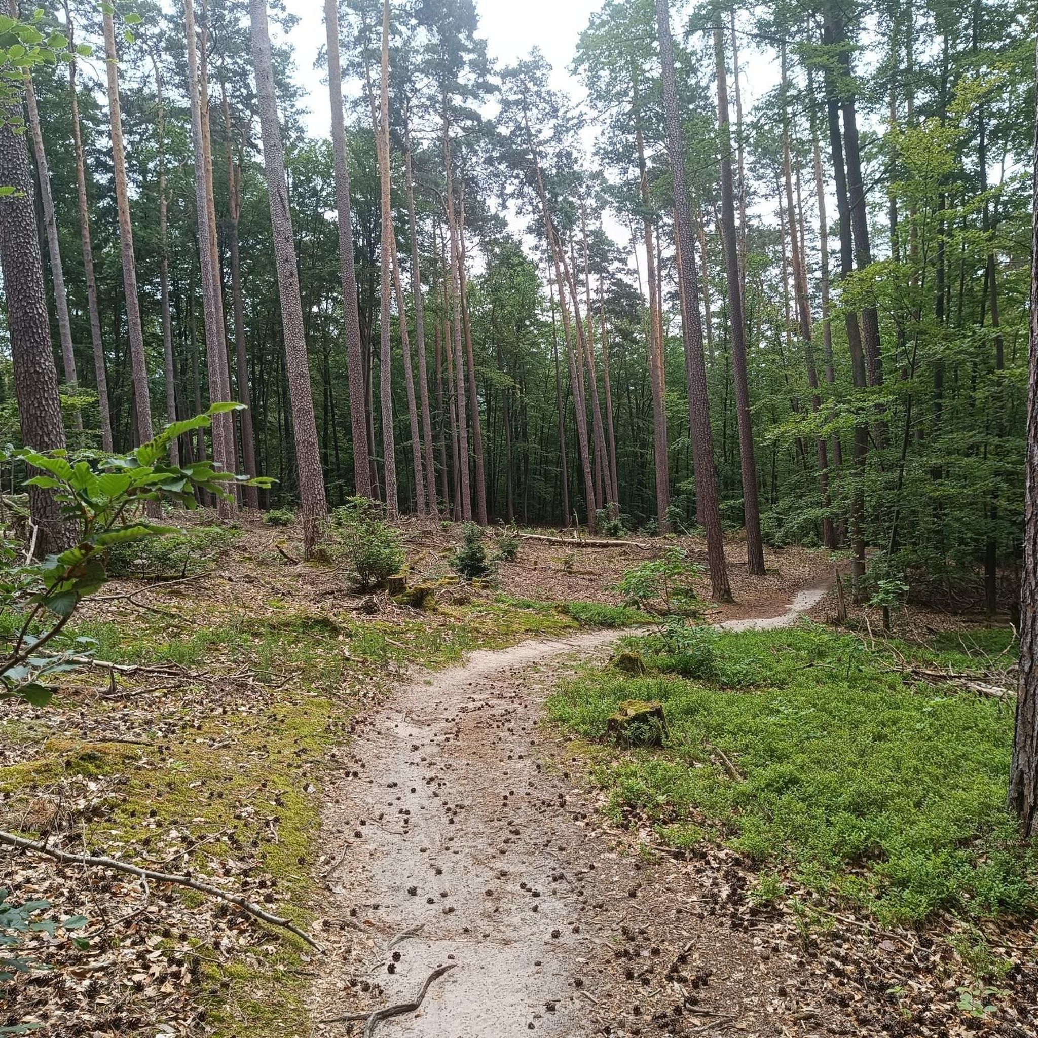
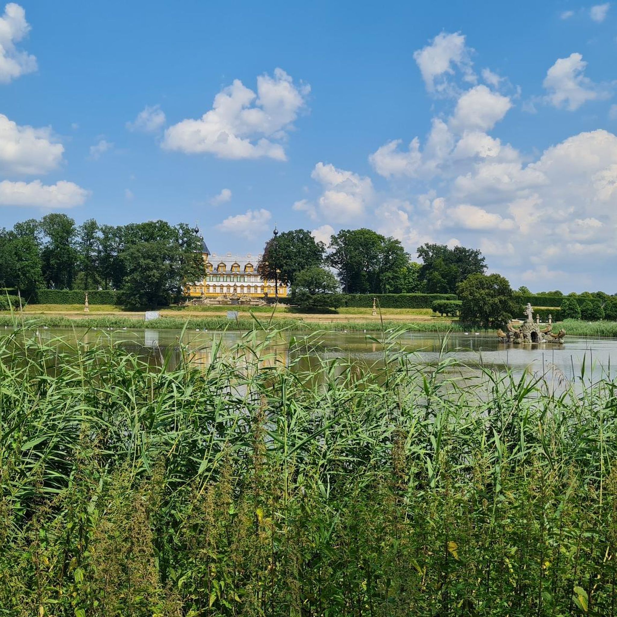
Tips from the Community

popular with motorcyclists, but even more fun by bike
0
0

Canal. Kettenbrücke and Bamberg are always worth a visit
0
0
Super well-developed cycle path - great to ride
0
0
Super well-developed cycle path. I think it's great
0
0
Great structure. What a super technique - nice to look at
2
0
Beautifully developed cycle path. In 2025 alone, I rode the route Weisendorf - Bamberg - Back 8 times
0
0
Super great cycle path from Frensdorf in the direction of Bamberg - Greatly developed. Partially with benches to rest
0
0

Bridge, power plant, and lock. A veritable collection of highlights on this section of the Regnitz.
6
0
Frequently Asked Questions
What is the typical terrain like for road cycling around Hauptsmoor?
Road cycling routes around Hauptsmoor offer diverse terrain. You'll find shaded forest paths, particularly through the Hauptsmoorwald, as well as routes along the Main-Danube Canal and the Itz River. The area features varied height profiles, from mostly flat sections along waterways to gently rolling hills, often utilizing side roads with minimal motor traffic for a serene cycling experience.
What are the difficulty levels of road cycling routes in the Hauptsmoor area?
The Hauptsmoor region caters to various skill levels. You can find easy, flat sections, especially along the canals, as well as moderate routes with some elevation changes. Out of over 640 routes, approximately 135 are considered easy, 390 are moderate, and 119 are more difficult, ensuring options for most road cyclists.
Are there any circular road cycling routes around Hauptsmoor?
Yes, many road cycling routes around Hauptsmoor are designed as loops. For example, the Cycle Path on the Main-Danube Canal – Leinritt Cycle Path loop from Strullendorf is a popular moderate circular route covering 32.7 miles (52.7 km). Another option is the Cycle Path to Hirschaid – Main-Danube Canal Path loop from Strullendorf, which is a 35.4 miles (57.0 km) loop.
What can I see along the road cycling routes around Hauptsmoor?
Beyond the natural beauty of the Hauptsmoorwald and river landscapes, you can encounter several interesting features. Highlights include the Leinleiter Dry Valley, the Dry Valley to the Herold Mill, and the Ave Maria Grotto Fountain. You might also pass the Regnitz Confluence at Bischberg or the historic Pilgrimage Church of St. Pankratius (Gügel Church).
What do other road cyclists enjoy most about the Hauptsmoor region?
The road cycling routes around Hauptsmoor are highly rated by the komoot community, with an average score of 4.7 stars from over 1,800 reviews. Cyclists often praise the diverse terrain, from shaded forest paths to canal-side routes, and the serene environment with minimal motor traffic. The connection to regional attractions like Bamberg is also a highlight for many.
Are there family-friendly road cycling routes in Hauptsmoor?
Yes, the Hauptsmoor area offers several family-friendly road cycling options, particularly along the Main-Danube Canal and Itz River. These sections are generally flat with consistent surfaces and minimal elevation changes, making them suitable for families. Routes like the Tiefenellern Village Center – Ellerberg-Stüble loop from Memmelsdorf are rated as easy and are shorter, ideal for a family outing.
When is the best time of year for road cycling around Hauptsmoor?
The best time for road cycling around Hauptsmoor is typically during the warmer months, from spring through autumn. The Hauptsmoorwald provides shaded paths, which can be particularly pleasant during summer. However, the region's diverse terrain means you can enjoy cycling in various conditions, with spring and autumn offering comfortable temperatures and beautiful scenery.
Is there parking available for cyclists near the Hauptsmoor road cycling routes?
Yes, as Hauptsmoor is located near Bamberg and its surrounding communities, you can generally find parking options in towns like Strullendorf or Memmelsdorf, which serve as common starting points for many routes. These areas often have designated parking facilities or street parking suitable for accessing the cycling network.
How can I reach the Hauptsmoor road cycling routes using public transport?
Hauptsmoor's proximity to Bamberg and the broader Landkreis Bamberg region means it is accessible via public transport. Bamberg itself is a major transport hub. From there, local buses or regional trains can connect you to smaller towns and villages around Hauptsmoor, such as Strullendorf or Memmelsdorf, where many road cycling routes begin.
Are there cafes or pubs near the road cycling routes in Hauptsmoor?
Given the region's connection to charming towns and villages like Bamberg, Strullendorf, and Memmelsdorf, you will find various cafes, pubs, and restaurants. Many routes pass through or near these communities, offering opportunities to stop for refreshments or a meal during your ride. Kunigundenruh, a point along some routes, also suggests local establishments.
What are some of the longer road cycling routes available?
For longer rides, consider routes that extend along the Main-Danube Canal. The Main-Danube Canal Path – Cycle Path on the Main-Danube Canal loop from Strullendorf is a moderate route spanning 39.4 miles (63.4 km) with around 358 meters of elevation gain, offering an extensive canal-side experience.
Most popular routes around Hauptsmoor
Most popular attractions around Hauptsmoor

Get inspired with the komoot mobile app


Explore more
Browse the best Road cycling routes in other regions.
